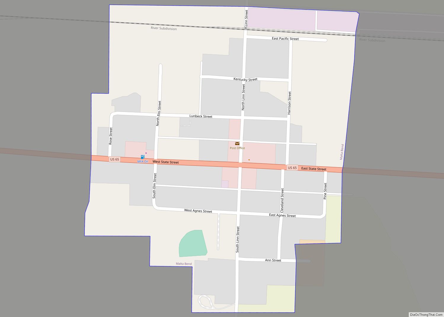
Malta Bend is a city in Saline County, Missouri, United States. The population was 250 at the 2010 census.
| Name: | Malta Bend town |
|---|---|
| LSAD Code: | 43 |
| LSAD Description: | town (suffix) |
| State: | Missouri |
| County: | Saline County |
| Elevation: | 699 ft (213 m) |
| Total Area: | 0.25 sq mi (0.65 km²) |
| Land Area: | 0.25 sq mi (0.65 km²) |
| Water Area: | 0.00 sq mi (0.00 km²) |
| Total Population: | 187 |
| Population Density: | 739.13/sq mi (285.74/km²) |
| ZIP code: | 65339 |
| Area code: | 660 |
| FIPS code: | 2945632 |
| GNISfeature ID: | 2396734 |
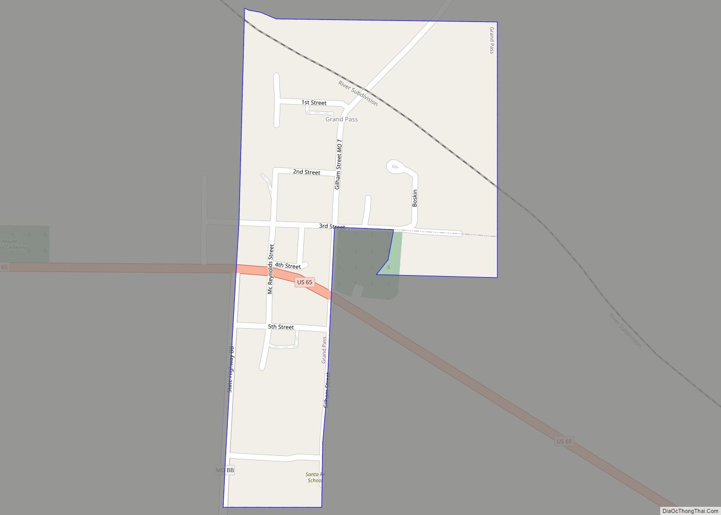
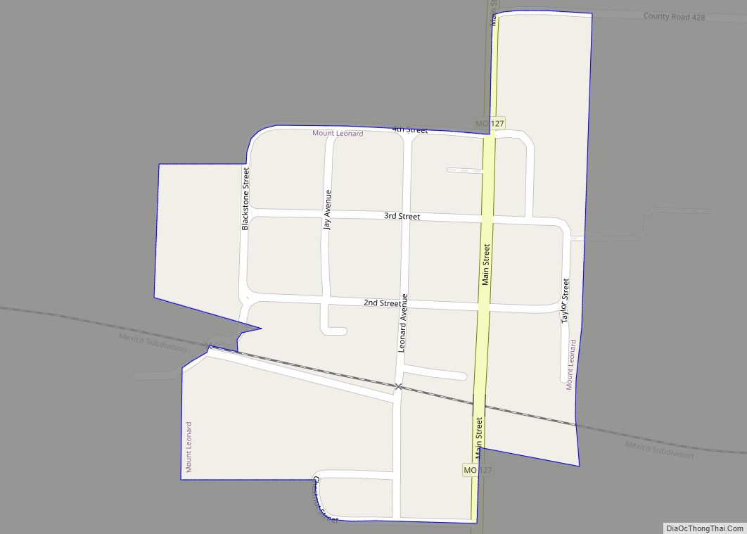
Online Interactive Map
Click on ![]() to view map in "full screen" mode.
to view map in "full screen" mode.
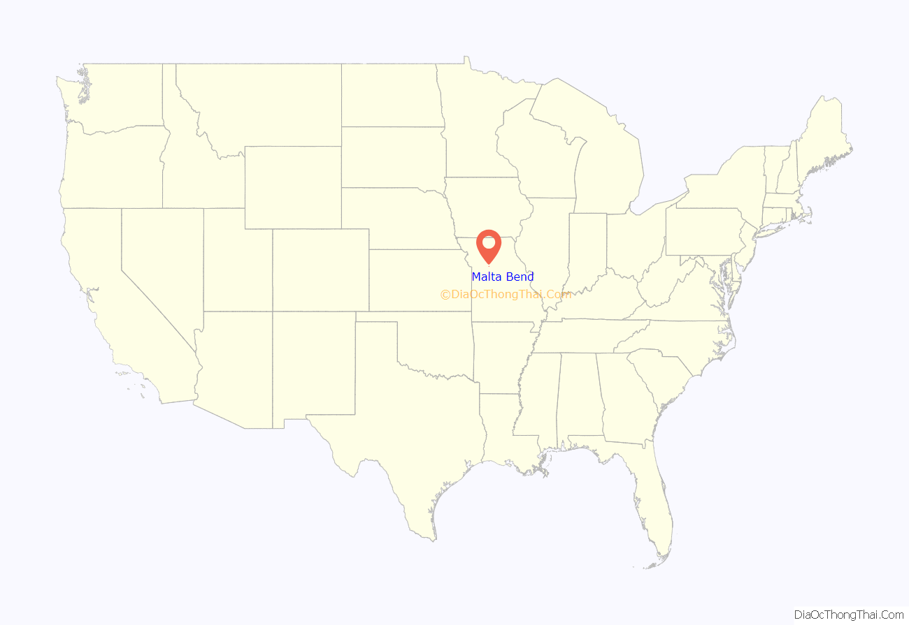
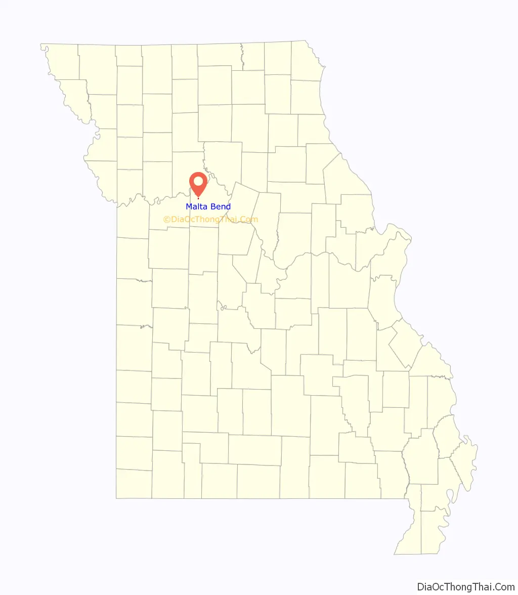
Malta Bend location map. Where is Malta Bend town?
History
Malta Bend was platted in 1867. The community was named after a nearby meander on the Missouri River where steamer Malta sank. A post office called Malta Bend has been in operation since 1860.
The Henry Blosser House and Plattner Archeological Site are listed on the National Register of Historic Places.
Malta Bend Road Map
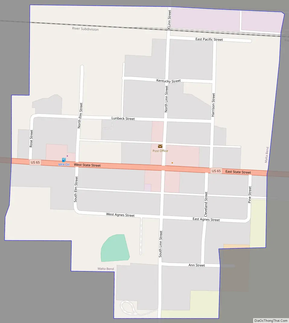
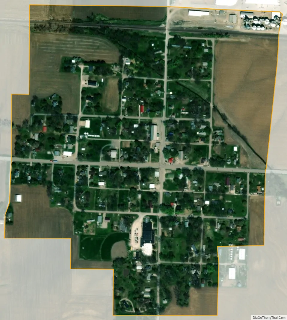
Malta Bend city Satellite Map
Geography
According to the United States Census Bureau, the city has a total area of 0.25 square miles (0.65 km), all land.
The land is surrounded on three sides by the Missouri River. The average alluvial soil depth (top soil) is 25 ft.
See also
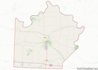
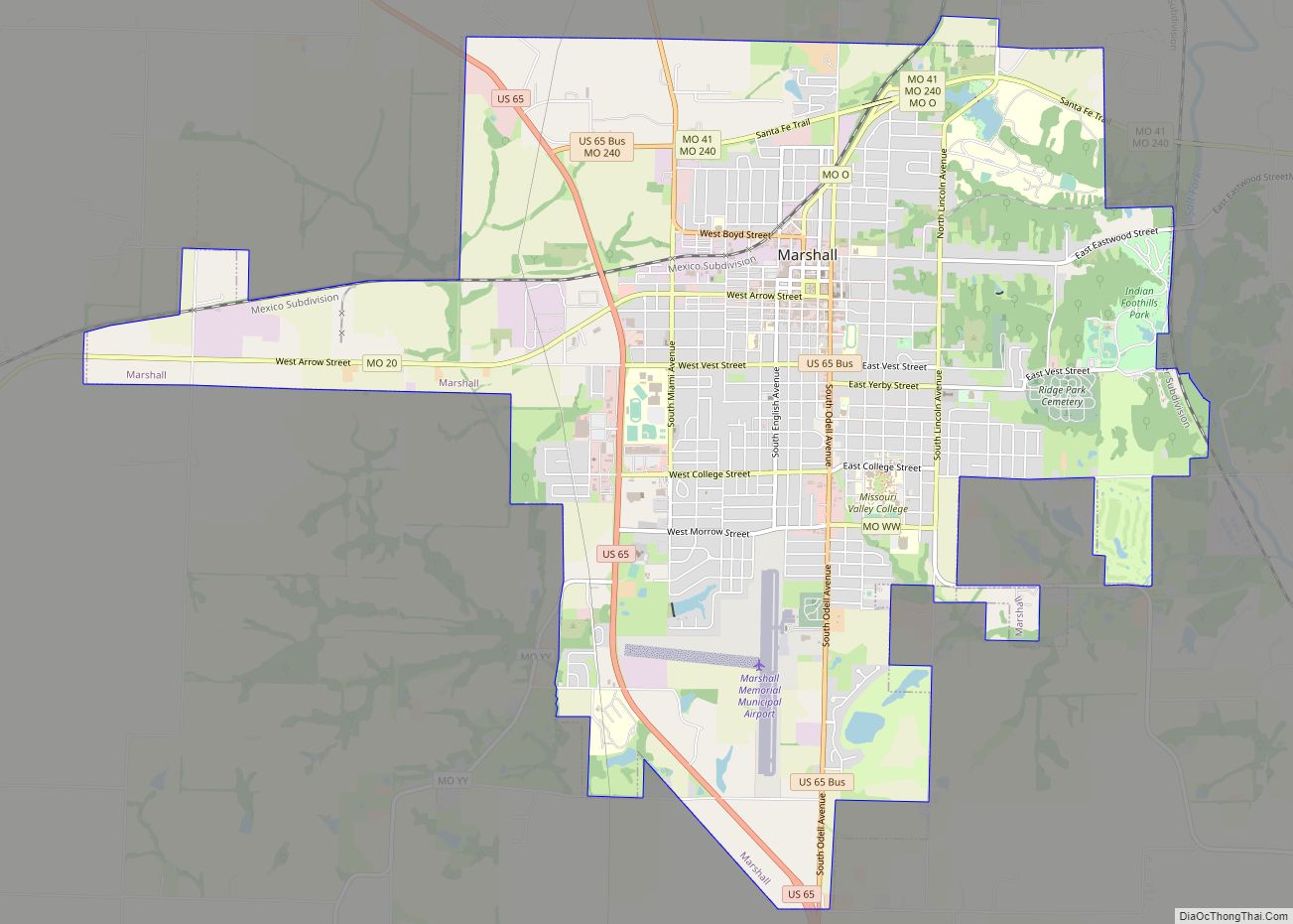
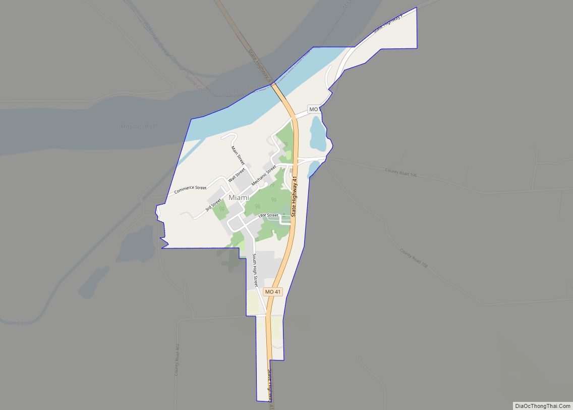
Map of Missouri State and its subdivision:- Adair
- Andrew
- Atchison
- Audrain
- Barry
- Barton
- Bates
- Benton
- Bollinger
- Boone
- Buchanan
- Butler
- Caldwell
- Callaway
- Camden
- Cape Girardeau
- Carroll
- Carter
- Cass
- Cedar
- Chariton
- Christian
- Clark
- Clay
- Clinton
- Cole
- Cooper
- Crawford
- Dade
- Dallas
- Daviess
- De Kalb
- Dent
- Douglas
- Dunklin
- Franklin
- Gasconade
- Gentry
- Greene
- Grundy
- Harrison
- Henry
- Hickory
- Holt
- Howard
- Howell
- Iron
- Jackson
- Jasper
- Jefferson
- Johnson
- Knox
- Laclede
- Lafayette
- Lawrence
- Lewis
- Lincoln
- Linn
- Livingston
- Macon
- Madison
- Maries
- Marion
- McDonald
- Mercer
- Miller
- Mississippi
- Moniteau
- Monroe
- Montgomery
- Morgan
- New Madrid
- Newton
- Nodaway
- Oregon
- Osage
- Ozark
- Pemiscot
- Perry
- Pettis
- Phelps
- Pike
- Platte
- Polk
- Pulaski
- Putnam
- Ralls
- Randolph
- Ray
- Reynolds
- Ripley
- Saint Charles
- Saint Clair
- Saint Francois
- Saint Louis
- Sainte Genevieve
- Saline
- Schuyler
- Scotland
- Scott
- Shannon
- Shelby
- Stoddard
- Stone
- Sullivan
- Taney
- Texas
- Vernon
- Warren
- Washington
- Wayne
- Webster
- Worth
- Wright
- Alabama
- Alaska
- Arizona
- Arkansas
- California
- Colorado
- Connecticut
- Delaware
- District of Columbia
- Florida
- Georgia
- Hawaii
- Idaho
- Illinois
- Indiana
- Iowa
- Kansas
- Kentucky
- Louisiana
- Maine
- Maryland
- Massachusetts
- Michigan
- Minnesota
- Mississippi
- Missouri
- Montana
- Nebraska
- Nevada
- New Hampshire
- New Jersey
- New Mexico
- New York
- North Carolina
- North Dakota
- Ohio
- Oklahoma
- Oregon
- Pennsylvania
- Rhode Island
- South Carolina
- South Dakota
- Tennessee
- Texas
- Utah
- Vermont
- Virginia
- Washington
- West Virginia
- Wisconsin
- Wyoming