Marionville is a city in Lawrence County, Missouri, United States. The population was 2,225 at the 2010 census.
Marionville is known for its large population of white squirrels.
| Name: | Marionville city |
|---|---|
| LSAD Code: | 25 |
| LSAD Description: | city (suffix) |
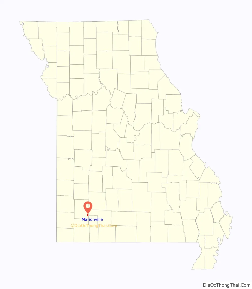
| State: | Missouri |
| County: | Lawrence County |
| Elevation: | 1,365 ft (416 m) |
| Total Area: | 1.79 sq mi (4.63 km²) |
| Land Area: | 1.78 sq mi (4.62 km²) |
| Water Area: | 0.00 sq mi (0.00 km²) |
| Total Population: | 4,114 |
| Population Density: | 1,150.70/sq mi (444.22/km²) |
| ZIP code: | 65705 |
| Area code: | 417 |
| FIPS code: | 2946172 |
| GNISfeature ID: | 0721871 |
| Website: | marionvillemo.com |
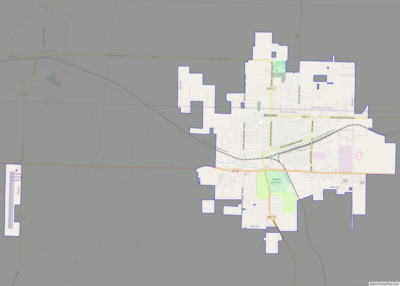
Online Interactive Map
Click on ![]() to view map in "full screen" mode.
to view map in "full screen" mode.
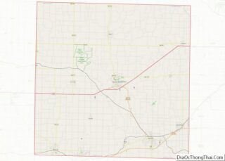
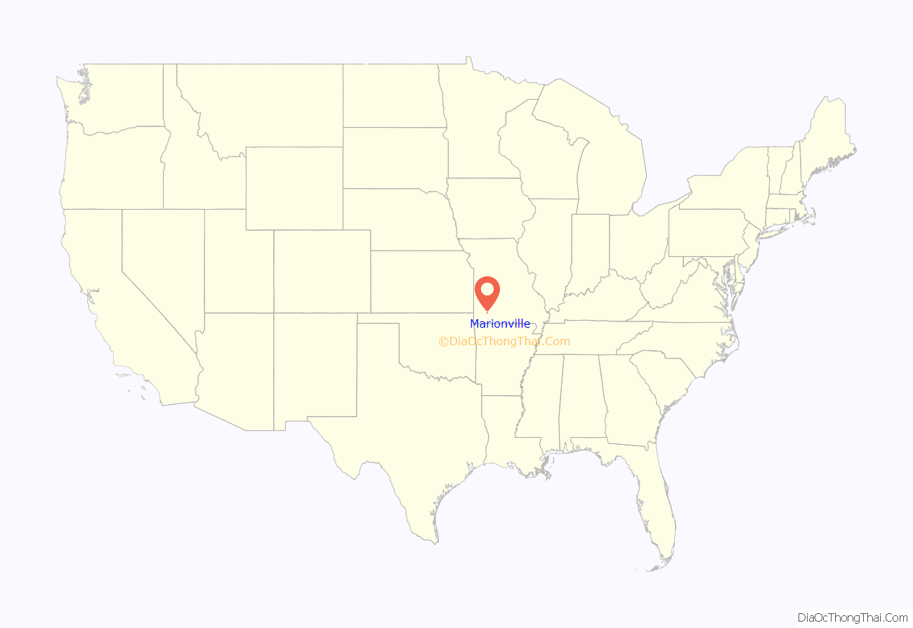
Marionville location map. Where is Marionville city?
History
Marionville was platted in 1854. The city name has been erroneously attributed as namesake of Francis Marion. It is, in fact, named to honor early settler and founder, James Marion Moore. Other names were considered – Jamestown/Jamesville and Moorestown/Mooresville – but were already taken and Moore’s middle name was then used. A post office called Marionville has been in operation since 1864. On March 12, 2006, a tornado hit the town, destroying houses and killing two people. It was rated as an F3.
The town’s two most famous residents are a colony of white squirrels (inhabitants since the 1880s) and legendary tubist Harvey Phillips.
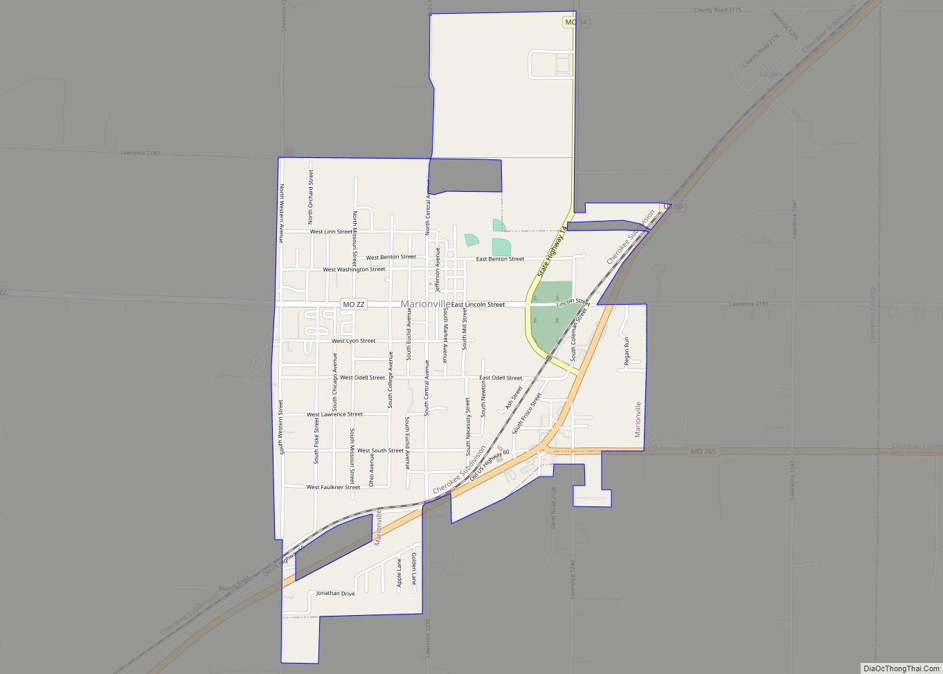
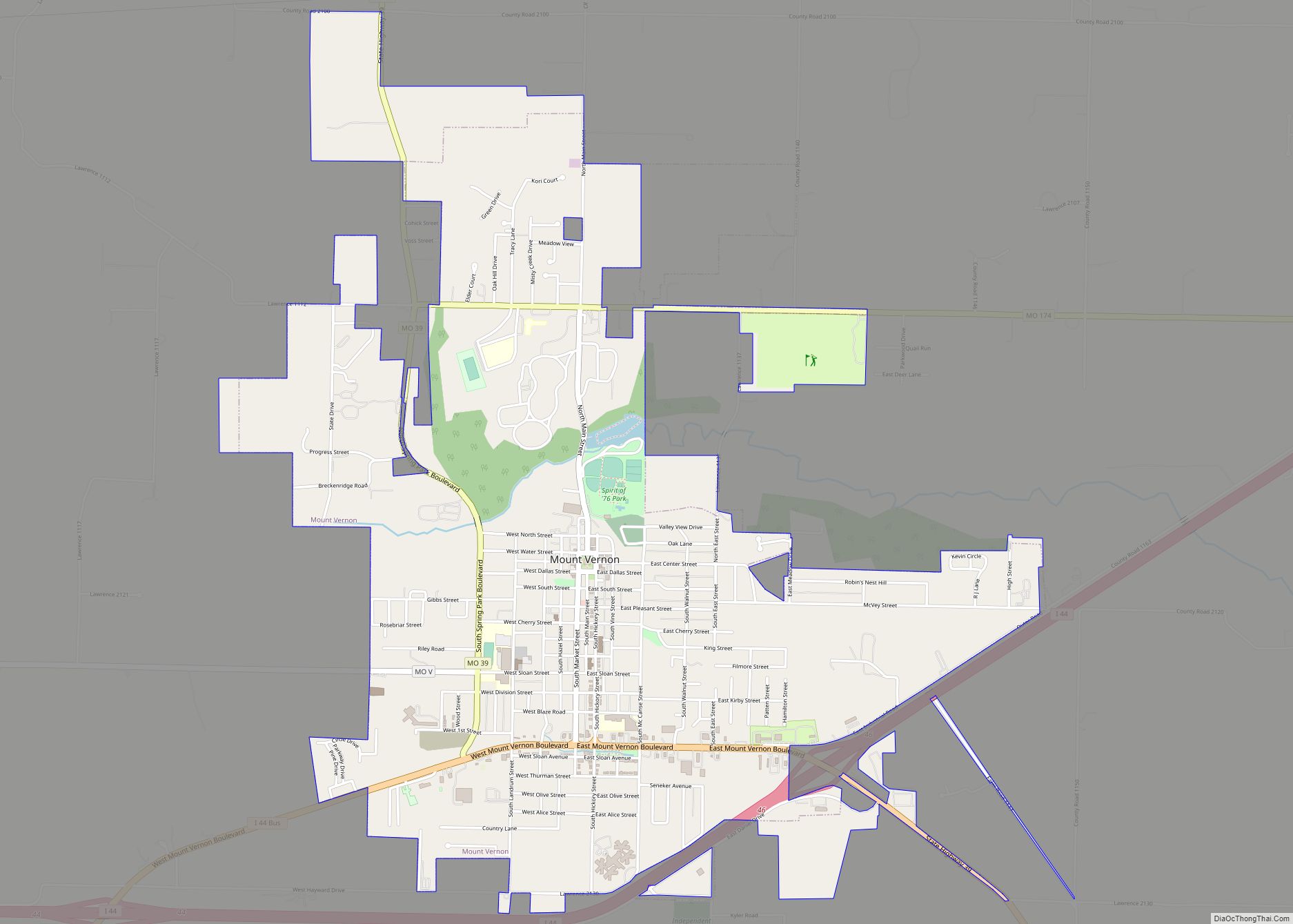
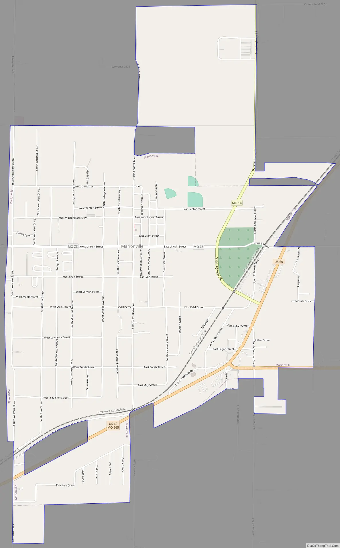
Marionville Road Map
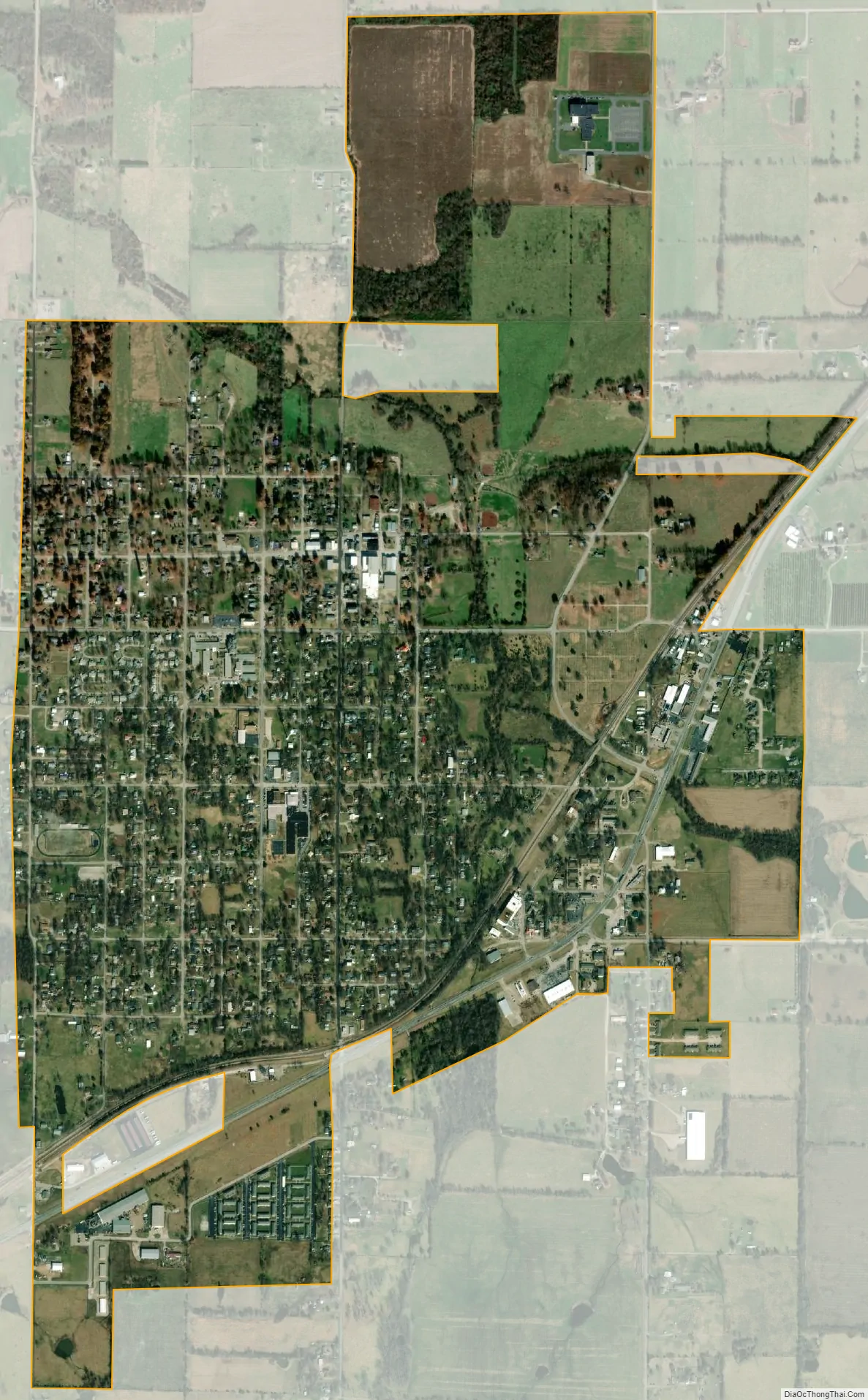
Marionville city Satellite Map
Geography
Marionville is located at 37°0′1″N 93°38′17″W / 37.00028°N 93.63806°W / 37.00028; -93.63806 (37.000361, -93.638026).
According to the United States Census Bureau, the city has a total area of 1.76 square miles (4.56 km), all land.
Marionville has a population of white squirrels, which is one of a handful of such populations in the United States. They can be seen in yards near the Ozarks Methodist Manor.
See also
Map of Missouri State and its subdivision:- Adair
- Andrew
- Atchison
- Audrain
- Barry
- Barton
- Bates
- Benton
- Bollinger
- Boone
- Buchanan
- Butler
- Caldwell
- Callaway
- Camden
- Cape Girardeau
- Carroll
- Carter
- Cass
- Cedar
- Chariton
- Christian
- Clark
- Clay
- Clinton
- Cole
- Cooper
- Crawford
- Dade
- Dallas
- Daviess
- De Kalb
- Dent
- Douglas
- Dunklin
- Franklin
- Gasconade
- Gentry
- Greene
- Grundy
- Harrison
- Henry
- Hickory
- Holt
- Howard
- Howell
- Iron
- Jackson
- Jasper
- Jefferson
- Johnson
- Knox
- Laclede
- Lafayette
- Lawrence
- Lewis
- Lincoln
- Linn
- Livingston
- Macon
- Madison
- Maries
- Marion
- McDonald
- Mercer
- Miller
- Mississippi
- Moniteau
- Monroe
- Montgomery
- Morgan
- New Madrid
- Newton
- Nodaway
- Oregon
- Osage
- Ozark
- Pemiscot
- Perry
- Pettis
- Phelps
- Pike
- Platte
- Polk
- Pulaski
- Putnam
- Ralls
- Randolph
- Ray
- Reynolds
- Ripley
- Saint Charles
- Saint Clair
- Saint Francois
- Saint Louis
- Sainte Genevieve
- Saline
- Schuyler
- Scotland
- Scott
- Shannon
- Shelby
- Stoddard
- Stone
- Sullivan
- Taney
- Texas
- Vernon
- Warren
- Washington
- Wayne
- Webster
- Worth
- Wright
- Alabama
- Alaska
- Arizona
- Arkansas
- California
- Colorado
- Connecticut
- Delaware
- District of Columbia
- Florida
- Georgia
- Hawaii
- Idaho
- Illinois
- Indiana
- Iowa
- Kansas
- Kentucky
- Louisiana
- Maine
- Maryland
- Massachusetts
- Michigan
- Minnesota
- Mississippi
- Missouri
- Montana
- Nebraska
- Nevada
- New Hampshire
- New Jersey
- New Mexico
- New York
- North Carolina
- North Dakota
- Ohio
- Oklahoma
- Oregon
- Pennsylvania
- Rhode Island
- South Carolina
- South Dakota
- Tennessee
- Texas
- Utah
- Vermont
- Virginia
- Washington
- West Virginia
- Wisconsin
- Wyoming