Missouri City is a city in Clay County, Missouri, United States. The population was 217 at the 2020 census. It is part of the Kansas City metropolitan area.
| Name: | Missouri City city |
|---|---|
| LSAD Code: | 25 |
| LSAD Description: | city (suffix) |
| State: | Missouri |
| County: | Clay County |
| Elevation: | 892 ft (272 m) |
| Total Area: | 1.10 sq mi (2.84 km²) |
| Land Area: | 1.10 sq mi (2.84 km²) |
| Water Area: | 0.00 sq mi (0.00 km²) |
| Total Population: | 217 |
| Population Density: | 197.99/sq mi (76.41/km²) |
| ZIP code: | 64072 |
| Area code: | 816 |
| FIPS code: | 2948980 |
| GNISfeature ID: | 2395355 |
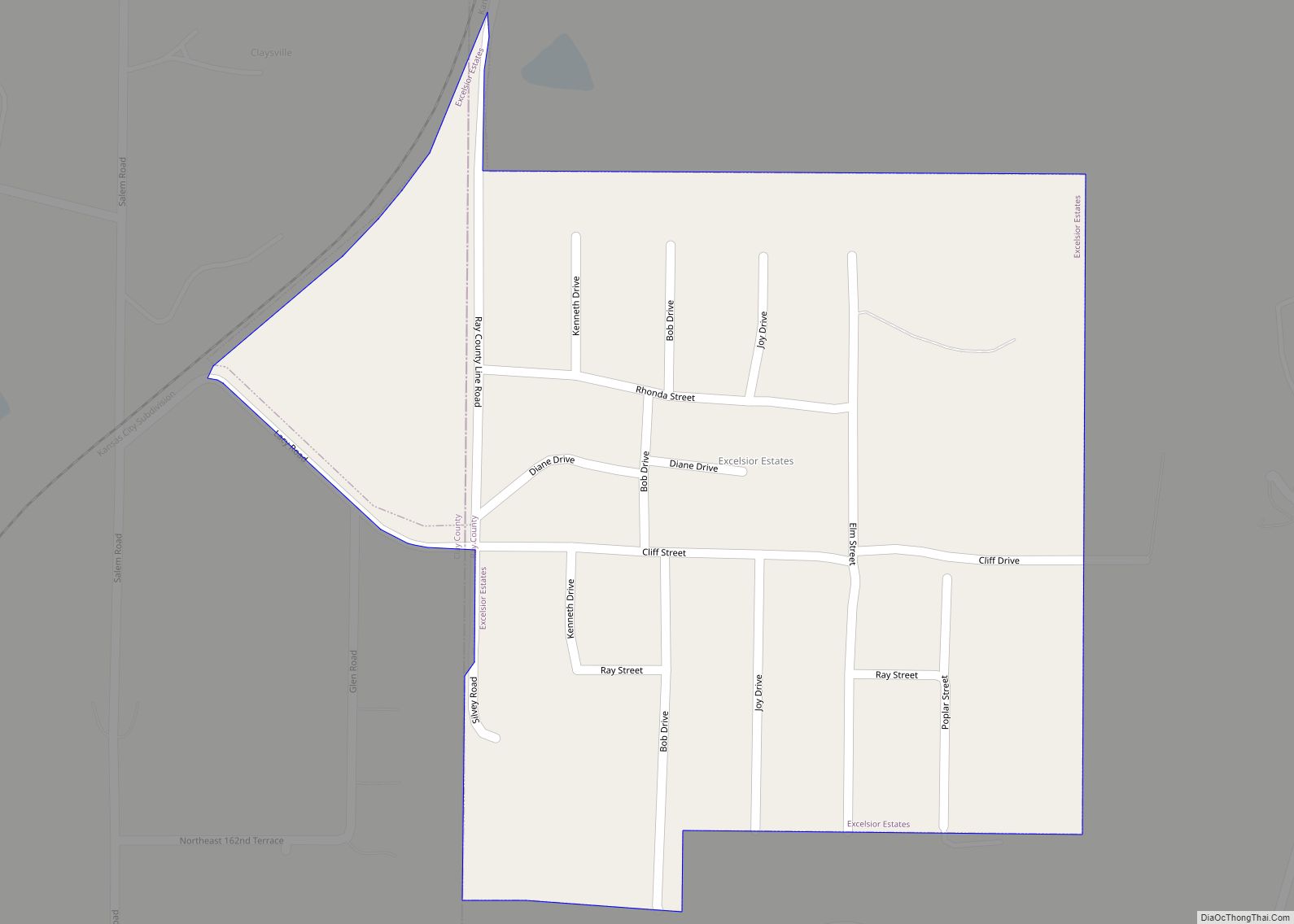
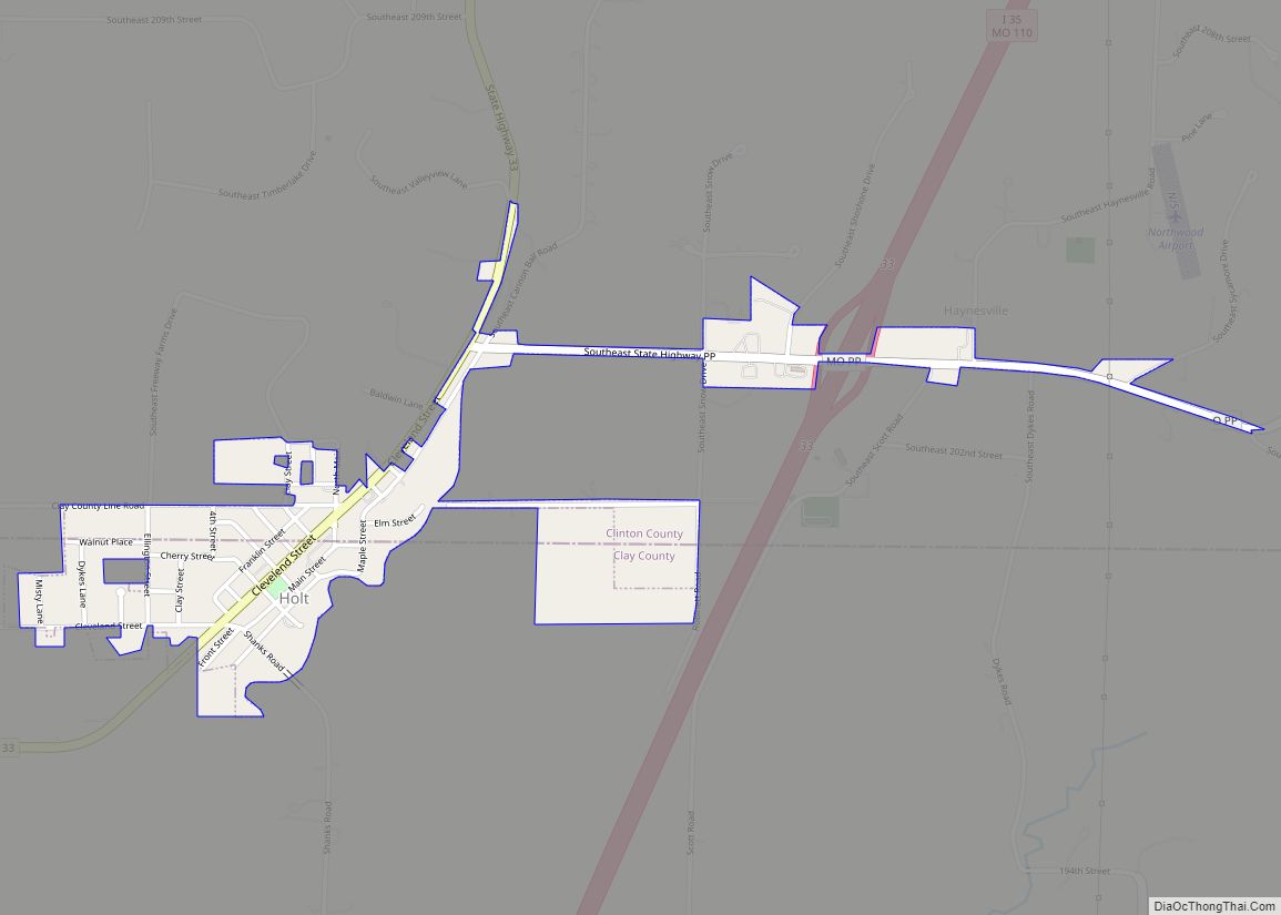
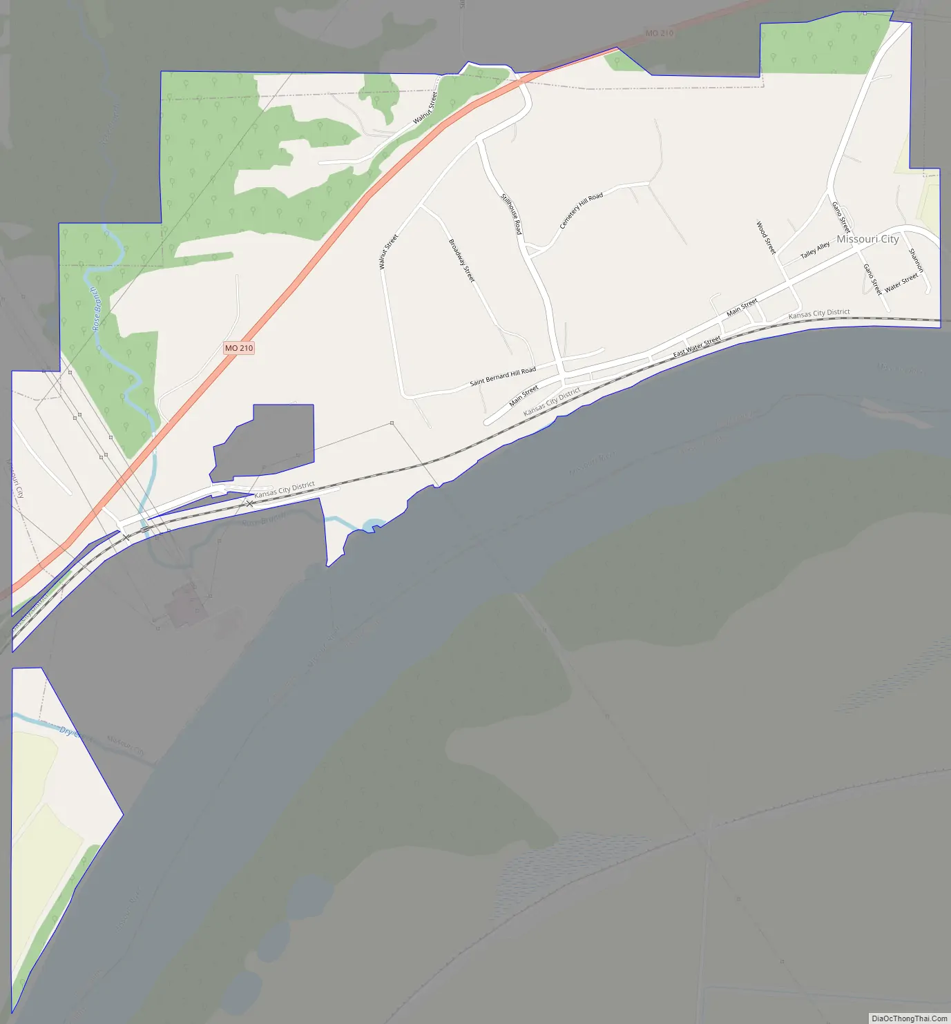
Online Interactive Map
Click on ![]() to view map in "full screen" mode.
to view map in "full screen" mode.
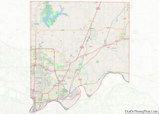
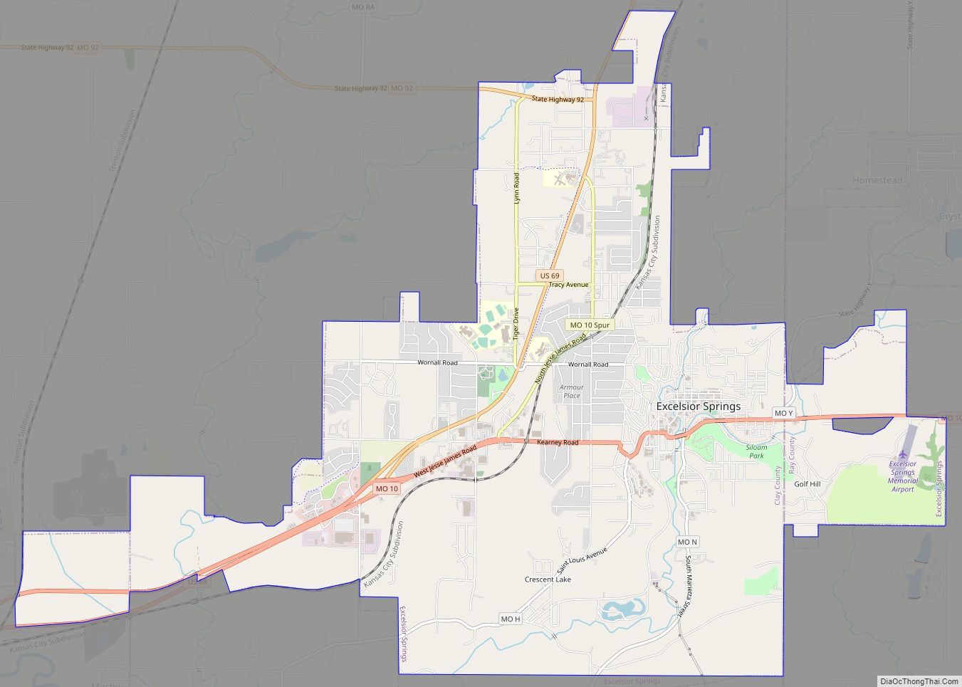
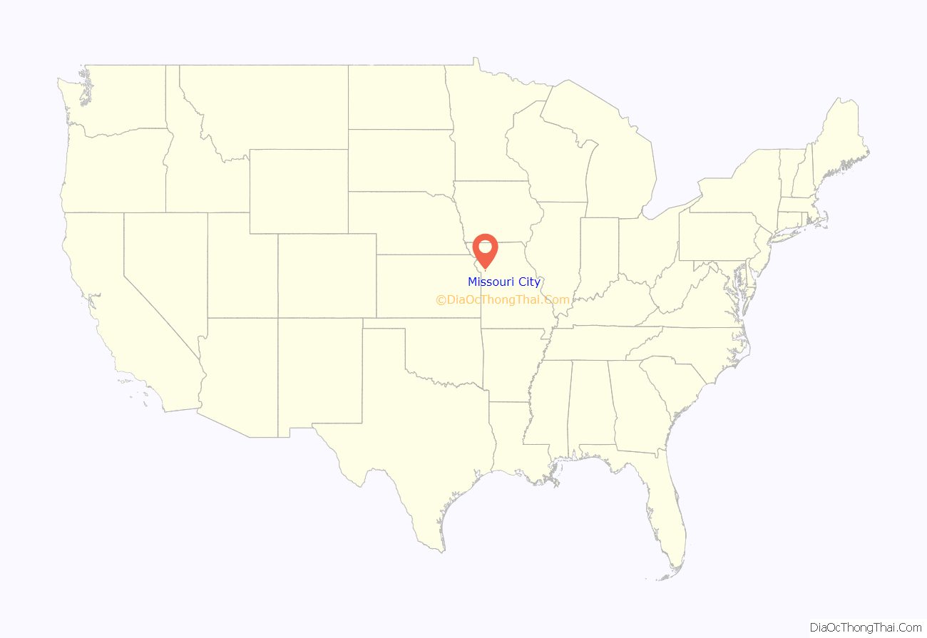
Missouri City location map. Where is Missouri City city?
History
Missouri City was originally named Atchison. The earliest known use of the name was on a deed to a building from 1820. The land was possessed by French fur traders Antoine Laffond and Bernard Laffond as early as January 24, 1807. The name had changed to Missouri City by December 5, 1857.
The Missouri City Savings Bank Building and Meeting Hall was listed on the National Register of Historic Places in 2010.
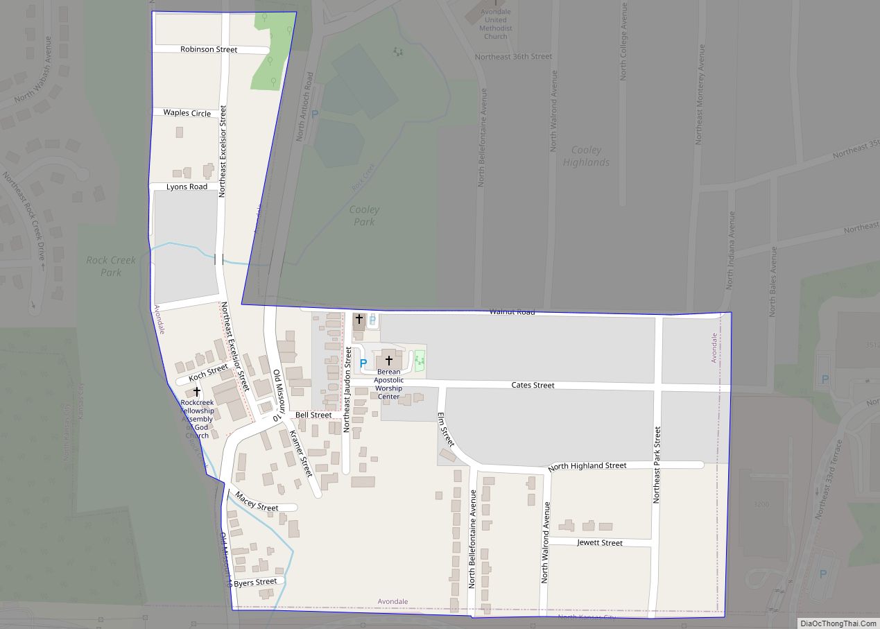
Missouri City Road Map
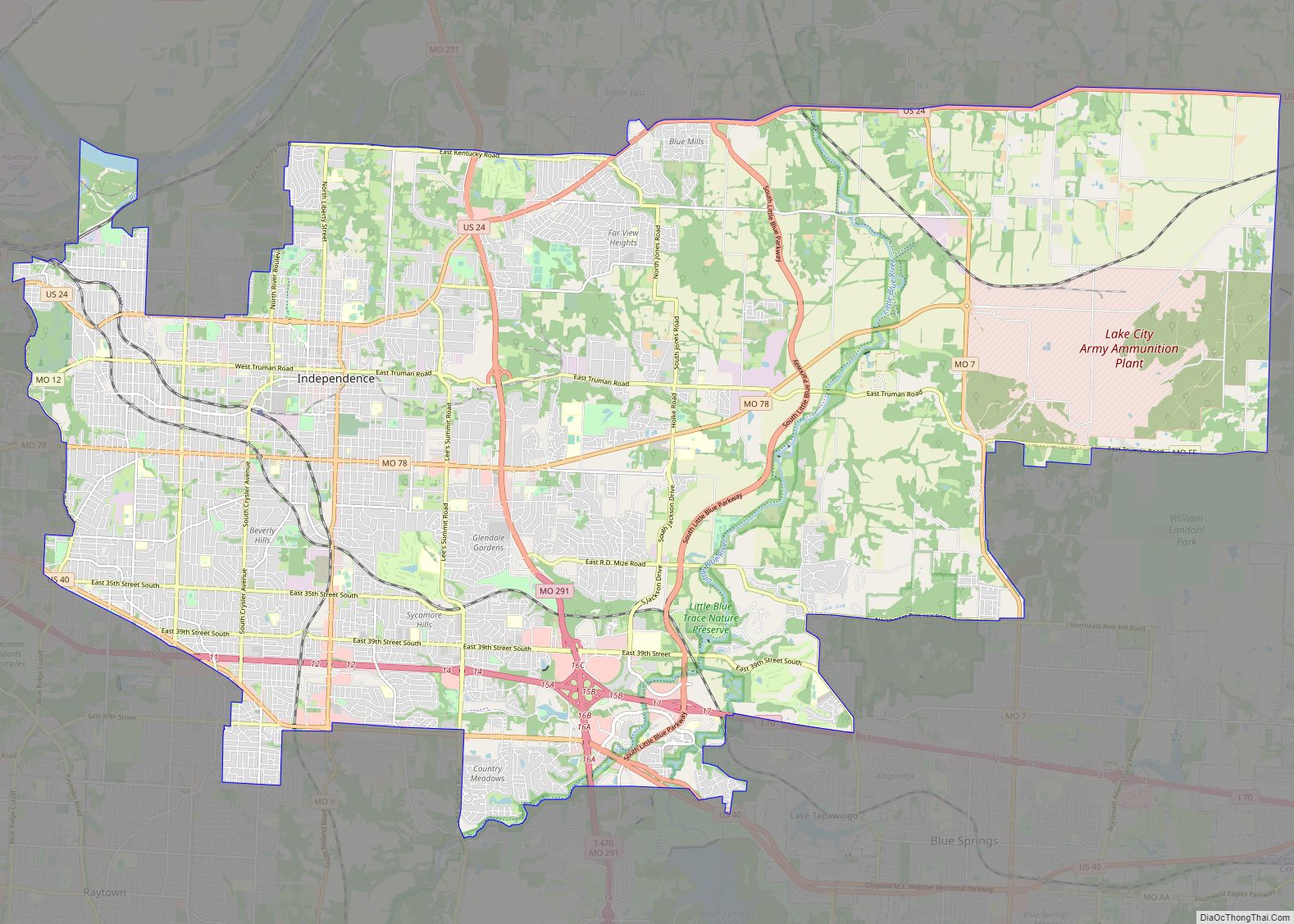
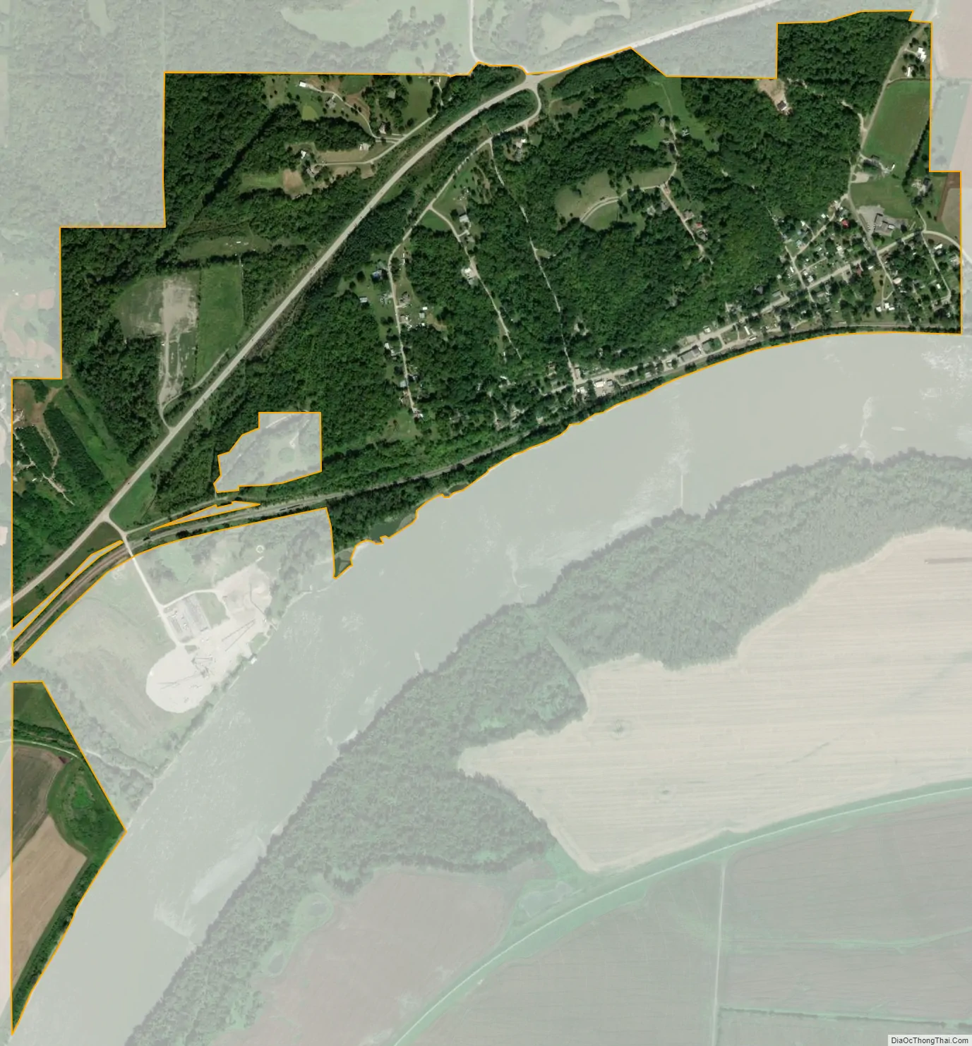
Missouri City city Satellite Map
Geography
According to the United States Census Bureau, the city has a total area of 1.14 square miles (2.95 km), of which 1.01 square miles (2.62 km) is land and 0.13 square miles (0.34 km) is water.
See also
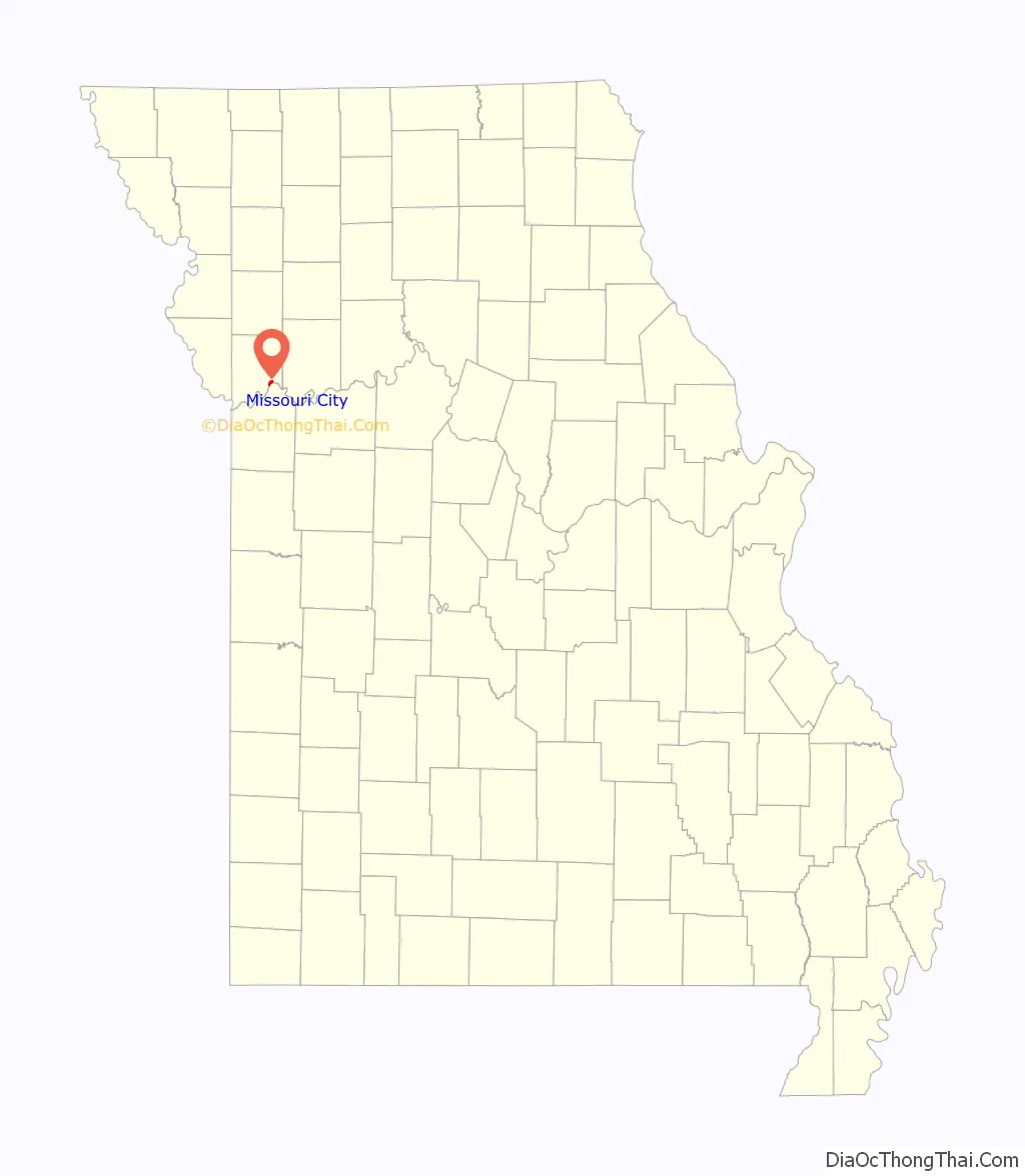
Map of Missouri State and its subdivision:- Adair
- Andrew
- Atchison
- Audrain
- Barry
- Barton
- Bates
- Benton
- Bollinger
- Boone
- Buchanan
- Butler
- Caldwell
- Callaway
- Camden
- Cape Girardeau
- Carroll
- Carter
- Cass
- Cedar
- Chariton
- Christian
- Clark
- Clay
- Clinton
- Cole
- Cooper
- Crawford
- Dade
- Dallas
- Daviess
- De Kalb
- Dent
- Douglas
- Dunklin
- Franklin
- Gasconade
- Gentry
- Greene
- Grundy
- Harrison
- Henry
- Hickory
- Holt
- Howard
- Howell
- Iron
- Jackson
- Jasper
- Jefferson
- Johnson
- Knox
- Laclede
- Lafayette
- Lawrence
- Lewis
- Lincoln
- Linn
- Livingston
- Macon
- Madison
- Maries
- Marion
- McDonald
- Mercer
- Miller
- Mississippi
- Moniteau
- Monroe
- Montgomery
- Morgan
- New Madrid
- Newton
- Nodaway
- Oregon
- Osage
- Ozark
- Pemiscot
- Perry
- Pettis
- Phelps
- Pike
- Platte
- Polk
- Pulaski
- Putnam
- Ralls
- Randolph
- Ray
- Reynolds
- Ripley
- Saint Charles
- Saint Clair
- Saint Francois
- Saint Louis
- Sainte Genevieve
- Saline
- Schuyler
- Scotland
- Scott
- Shannon
- Shelby
- Stoddard
- Stone
- Sullivan
- Taney
- Texas
- Vernon
- Warren
- Washington
- Wayne
- Webster
- Worth
- Wright
- Alabama
- Alaska
- Arizona
- Arkansas
- California
- Colorado
- Connecticut
- Delaware
- District of Columbia
- Florida
- Georgia
- Hawaii
- Idaho
- Illinois
- Indiana
- Iowa
- Kansas
- Kentucky
- Louisiana
- Maine
- Maryland
- Massachusetts
- Michigan
- Minnesota
- Mississippi
- Missouri
- Montana
- Nebraska
- Nevada
- New Hampshire
- New Jersey
- New Mexico
- New York
- North Carolina
- North Dakota
- Ohio
- Oklahoma
- Oregon
- Pennsylvania
- Rhode Island
- South Carolina
- South Dakota
- Tennessee
- Texas
- Utah
- Vermont
- Virginia
- Washington
- West Virginia
- Wisconsin
- Wyoming