Montrose is a city in Henry County, Missouri, United States. The population was 384 at the 2010 census.
| Name: | Montrose city |
|---|---|
| LSAD Code: | 25 |
| LSAD Description: | city (suffix) |
| State: | Missouri |
| County: | Henry County |
| Elevation: | 837 ft (255 m) |
| Total Area: | 0.57 sq mi (1.48 km²) |
| Land Area: | 0.57 sq mi (1.48 km²) |
| Water Area: | 0.00 sq mi (0.01 km²) |
| Total Population: | 383 |
| Population Density: | 671.93/sq mi (259.38/km²) |
| ZIP code: | 64770 |
| Area code: | 660 |
| FIPS code: | 2949664 |
| GNISfeature ID: | 2395391 |
Online Interactive Map
Click on ![]() to view map in "full screen" mode.
to view map in "full screen" mode.
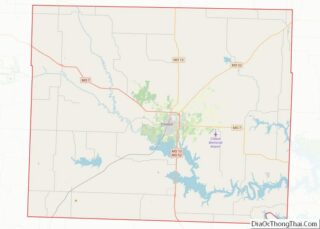
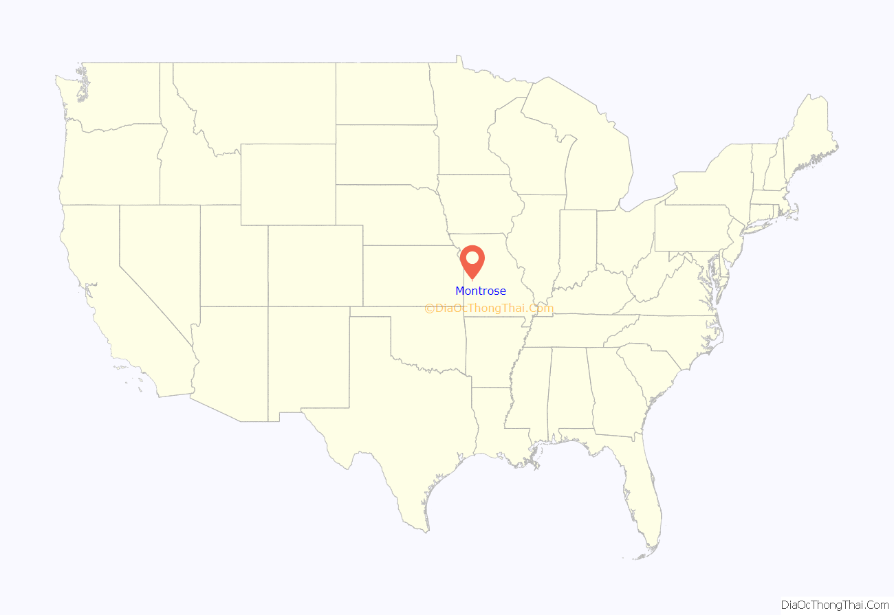
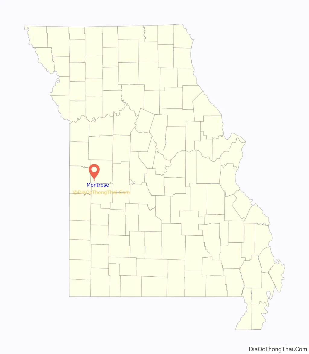
Montrose location map. Where is Montrose city?
History
Montrose was founded in 1871, spurred by the building of the railroad through that territory. The town was named after Montrose, in Scotland. A post office called Montrose has been in operation since 1870.
Among the early industries represented in the newly incorporated town were a flour mill, a grain elevator, several grain warehouses, a bank, two hotels, two hardware and implement stores, two furniture stores, three dry goods stores, four blacksmiths, two barber shops, three millinery shops, two newspapers, and a livery stable.
The Montrose Savings Bank was organized June 4, 1895 and began operating the following day. The first directors were R.H. Dugan, E.W. Blew, O.P. Wilson, Henry Welling, Nick Erhart, Joseph DeBold and W.S. Winkler.
The C.M. and Vina Clark House and St. Ludger Catholic Church are listed on the National Register of Historic Places.
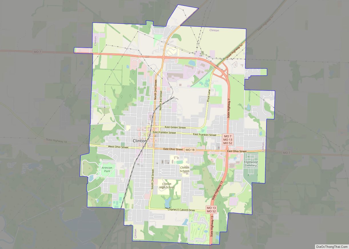
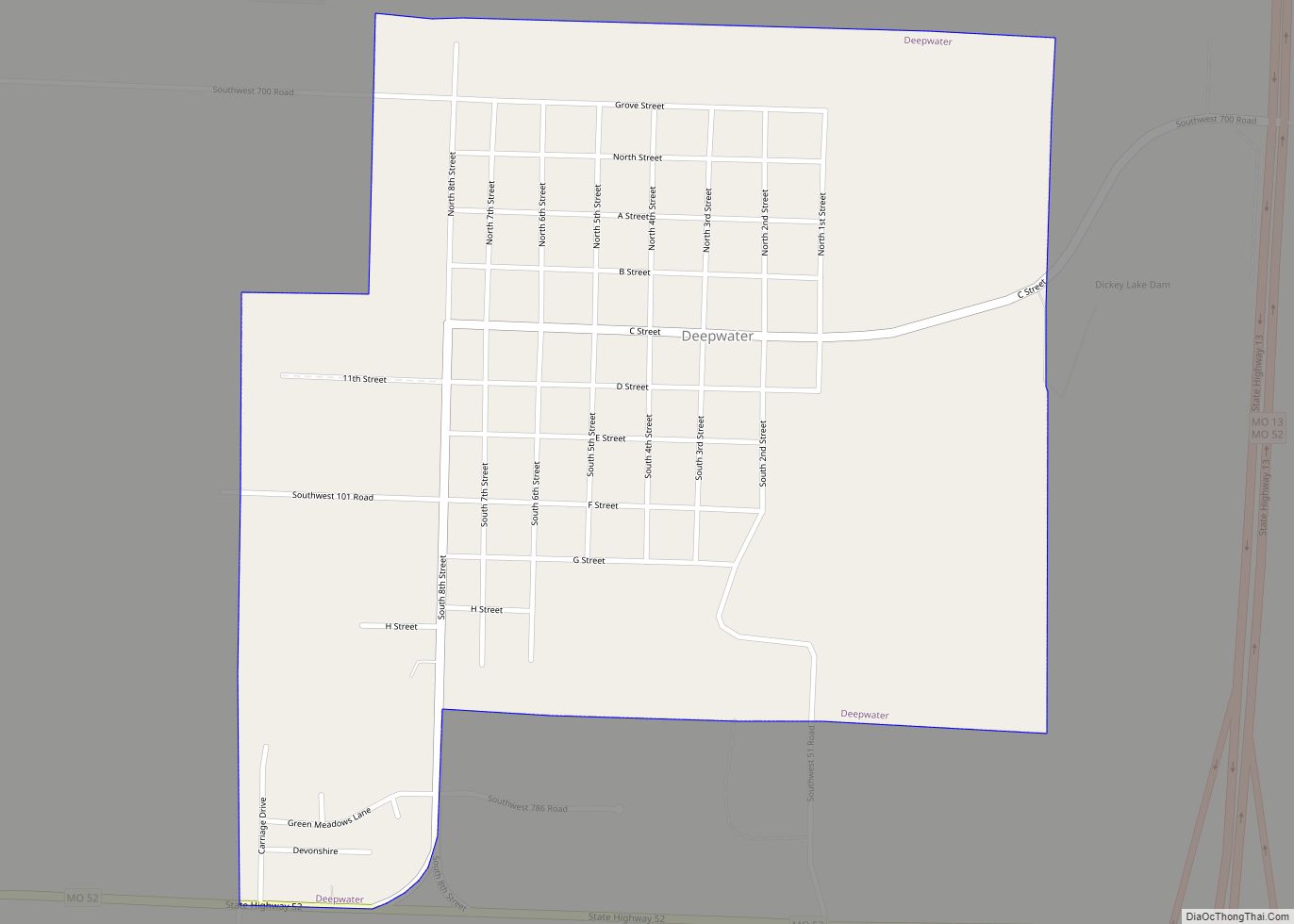
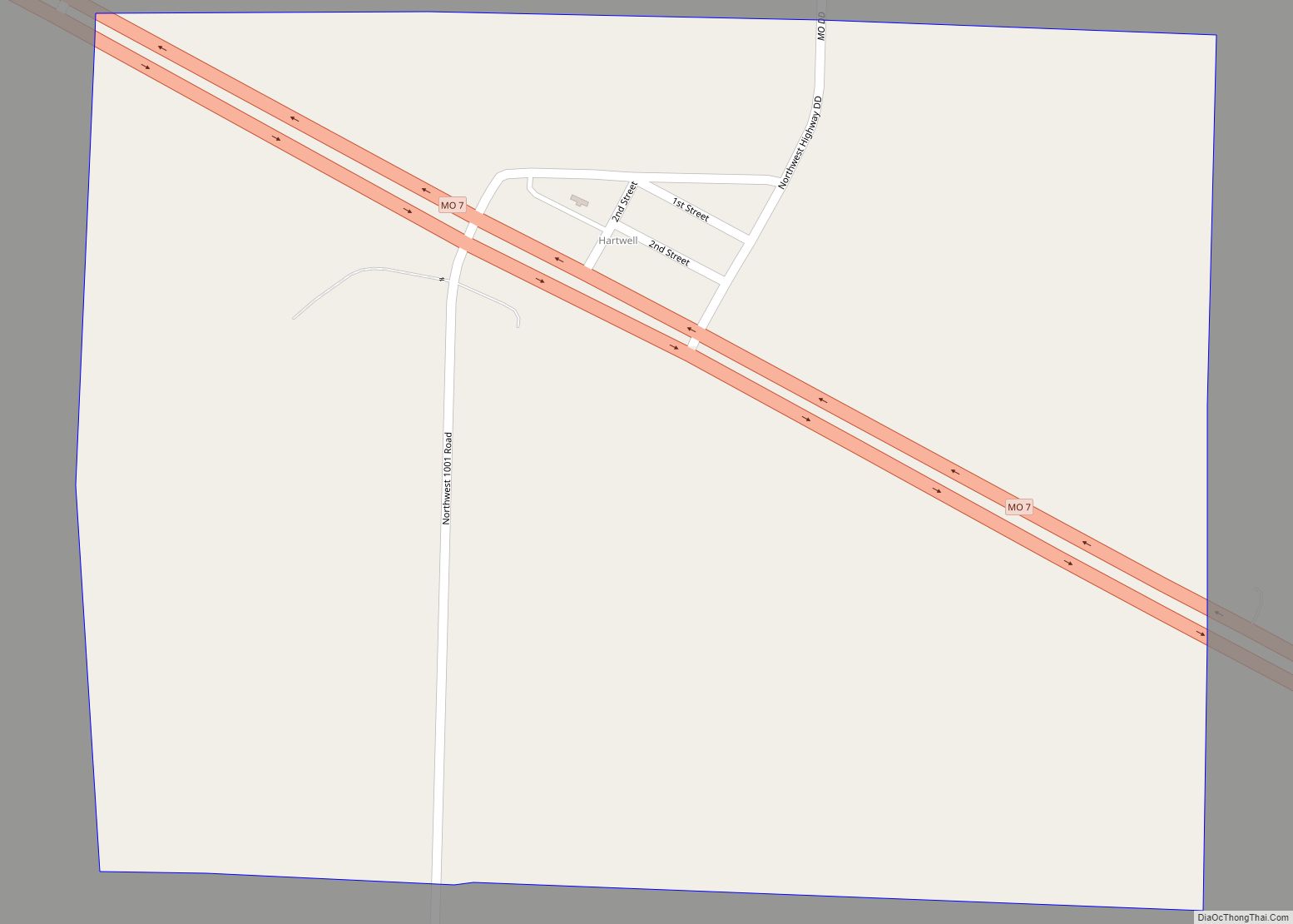
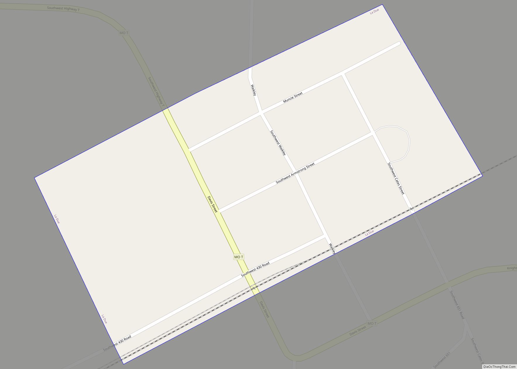
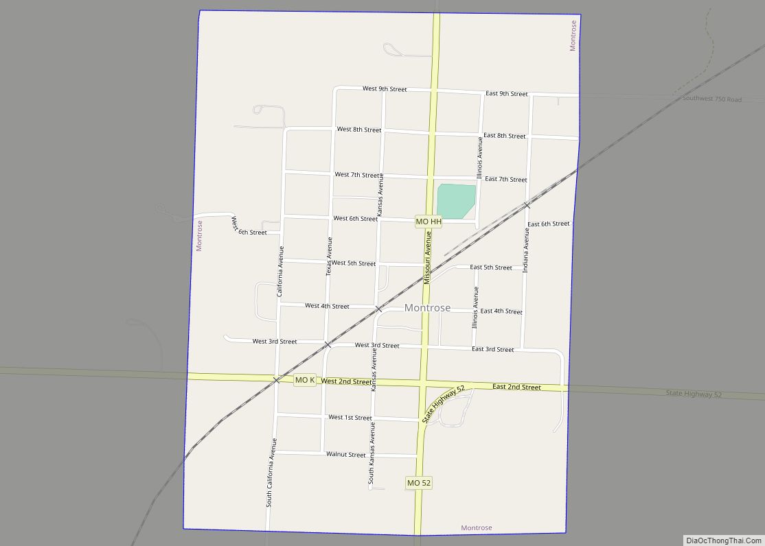
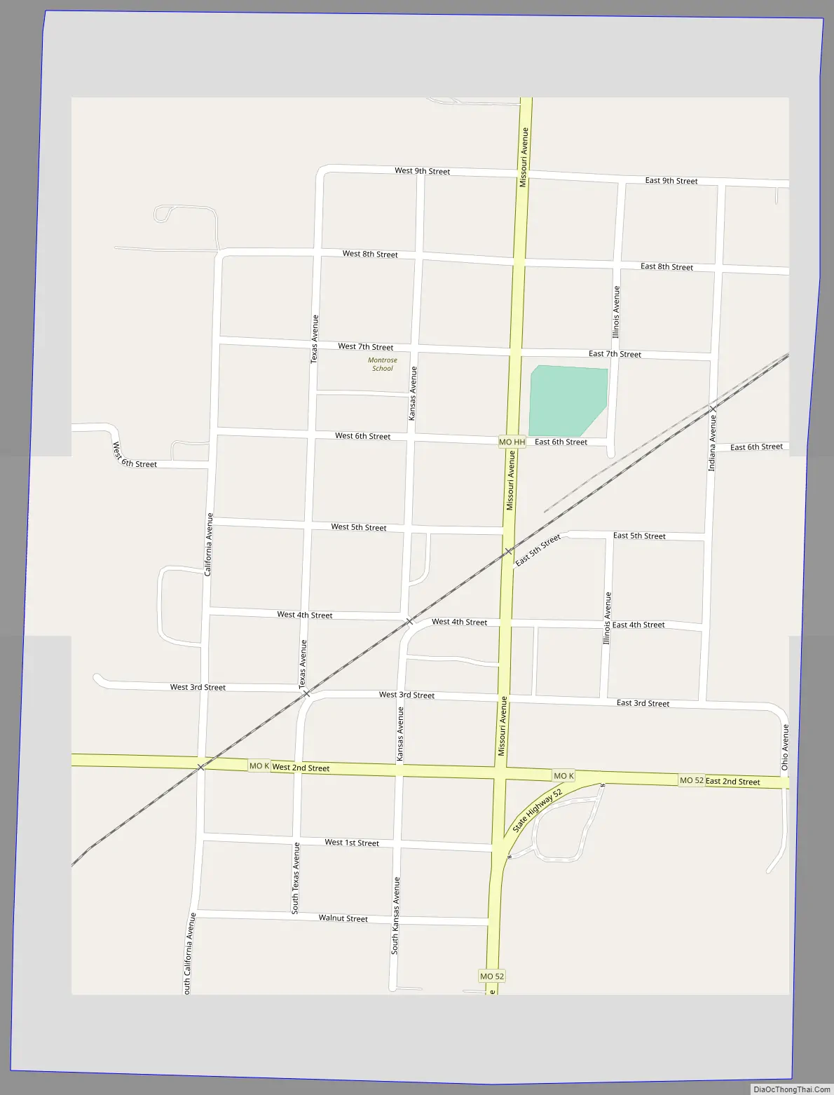
Montrose Road Map
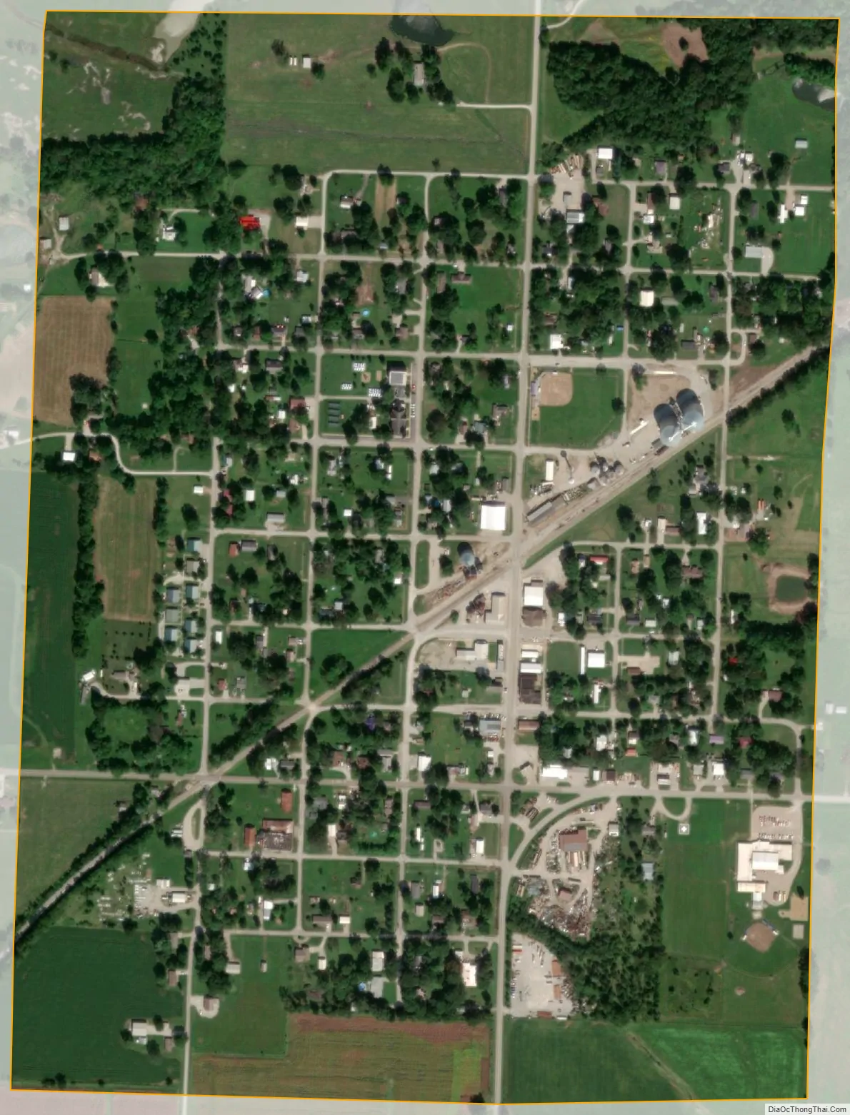
Montrose city Satellite Map
Geography
According to the United States Census Bureau, the city has a total area of 0.57 square miles (1.48 km), all land.
See also
Map of Missouri State and its subdivision:- Adair
- Andrew
- Atchison
- Audrain
- Barry
- Barton
- Bates
- Benton
- Bollinger
- Boone
- Buchanan
- Butler
- Caldwell
- Callaway
- Camden
- Cape Girardeau
- Carroll
- Carter
- Cass
- Cedar
- Chariton
- Christian
- Clark
- Clay
- Clinton
- Cole
- Cooper
- Crawford
- Dade
- Dallas
- Daviess
- De Kalb
- Dent
- Douglas
- Dunklin
- Franklin
- Gasconade
- Gentry
- Greene
- Grundy
- Harrison
- Henry
- Hickory
- Holt
- Howard
- Howell
- Iron
- Jackson
- Jasper
- Jefferson
- Johnson
- Knox
- Laclede
- Lafayette
- Lawrence
- Lewis
- Lincoln
- Linn
- Livingston
- Macon
- Madison
- Maries
- Marion
- McDonald
- Mercer
- Miller
- Mississippi
- Moniteau
- Monroe
- Montgomery
- Morgan
- New Madrid
- Newton
- Nodaway
- Oregon
- Osage
- Ozark
- Pemiscot
- Perry
- Pettis
- Phelps
- Pike
- Platte
- Polk
- Pulaski
- Putnam
- Ralls
- Randolph
- Ray
- Reynolds
- Ripley
- Saint Charles
- Saint Clair
- Saint Francois
- Saint Louis
- Sainte Genevieve
- Saline
- Schuyler
- Scotland
- Scott
- Shannon
- Shelby
- Stoddard
- Stone
- Sullivan
- Taney
- Texas
- Vernon
- Warren
- Washington
- Wayne
- Webster
- Worth
- Wright
- Alabama
- Alaska
- Arizona
- Arkansas
- California
- Colorado
- Connecticut
- Delaware
- District of Columbia
- Florida
- Georgia
- Hawaii
- Idaho
- Illinois
- Indiana
- Iowa
- Kansas
- Kentucky
- Louisiana
- Maine
- Maryland
- Massachusetts
- Michigan
- Minnesota
- Mississippi
- Missouri
- Montana
- Nebraska
- Nevada
- New Hampshire
- New Jersey
- New Mexico
- New York
- North Carolina
- North Dakota
- Ohio
- Oklahoma
- Oregon
- Pennsylvania
- Rhode Island
- South Carolina
- South Dakota
- Tennessee
- Texas
- Utah
- Vermont
- Virginia
- Washington
- West Virginia
- Wisconsin
- Wyoming