Moscow Mills is a city in Lincoln County, Missouri, United States. The population was 2,509 at the 2010 census.
| Name: | Moscow Mills city |
|---|---|
| LSAD Code: | 25 |
| LSAD Description: | city (suffix) |
| State: | Missouri |
| County: | Lincoln County |
| Elevation: | 538 ft (164 m) |
| Total Area: | 3.16 sq mi (8.18 km²) |
| Land Area: | 3.15 sq mi (8.16 km²) |
| Water Area: | 0.01 sq mi (0.02 km²) |
| Total Population: | 3,317 |
| Population Density: | 1,053.02/sq mi (406.55/km²) |
| ZIP code: | 63362 |
| Area code: | 636 |
| FIPS code: | 2950204 |
| GNISfeature ID: | 2395417 |
| Website: | moscowmillsmo.com |
Online Interactive Map
Click on ![]() to view map in "full screen" mode.
to view map in "full screen" mode.
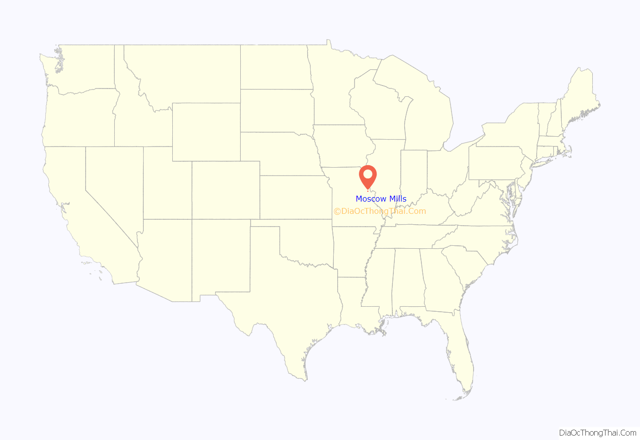
Moscow Mills location map. Where is Moscow Mills city?
History
Moscow Mills was laid out in 1821, and named for a watermill of the same name near the original town site.
The Old Rock House was listed on the National Register of Historic Places in 1972.
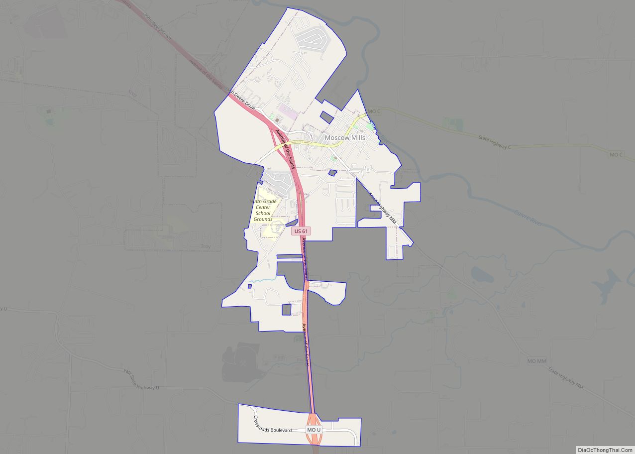
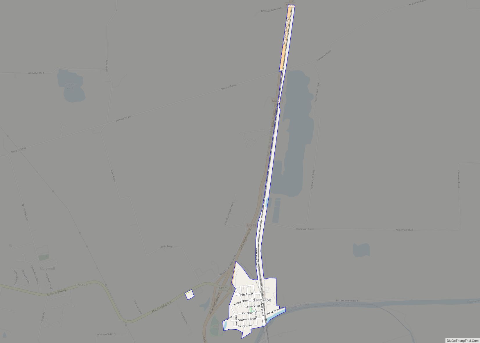
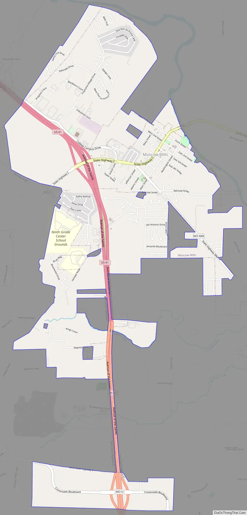
Moscow Mills Road Map
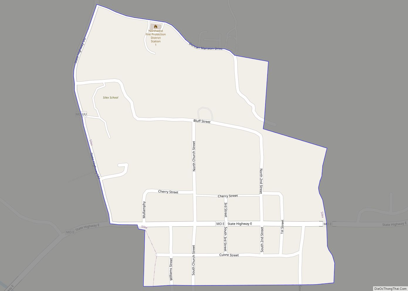
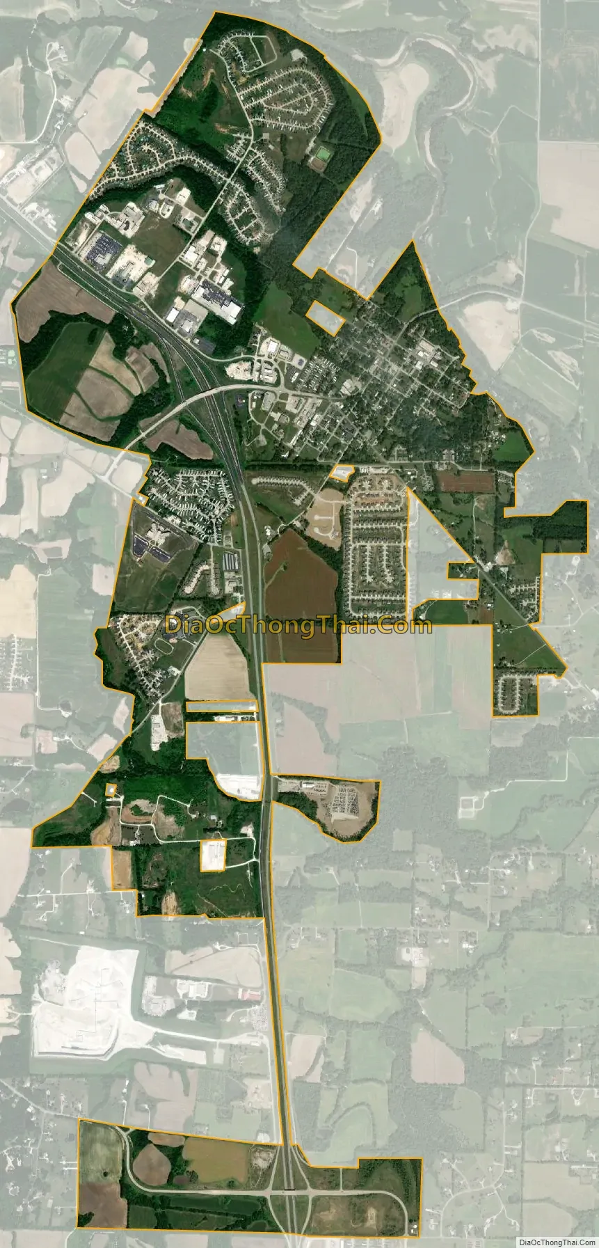
Moscow Mills city Satellite Map
Geography
Moscow Mills is located on the west bank of the Cuivre River just east of U.S. Route 61 on Missouri Route C. Troy is approximately 3.25 miles to the northwest on Route 61.
According to the United States Census Bureau, the city has a total area of 3.14 square miles (8.13 km), of which 3.12 square miles (8.08 km) is land and 0.02 square miles (0.05 km) is water.
See also
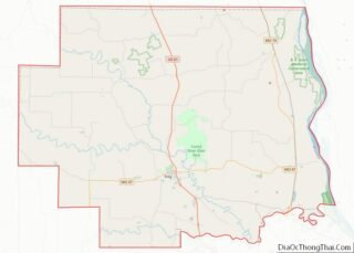
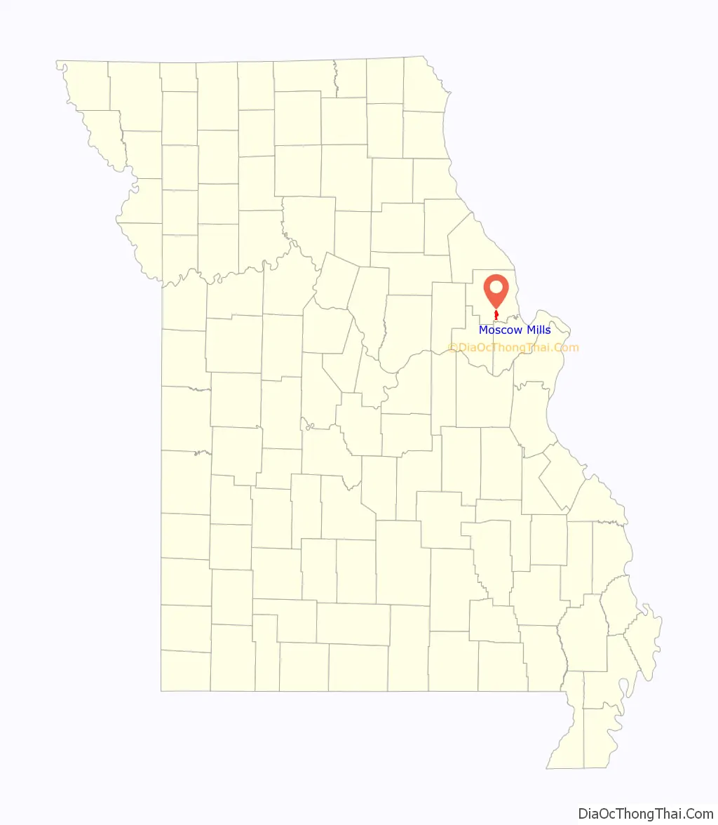
Map of Missouri State and its subdivision:- Adair
- Andrew
- Atchison
- Audrain
- Barry
- Barton
- Bates
- Benton
- Bollinger
- Boone
- Buchanan
- Butler
- Caldwell
- Callaway
- Camden
- Cape Girardeau
- Carroll
- Carter
- Cass
- Cedar
- Chariton
- Christian
- Clark
- Clay
- Clinton
- Cole
- Cooper
- Crawford
- Dade
- Dallas
- Daviess
- De Kalb
- Dent
- Douglas
- Dunklin
- Franklin
- Gasconade
- Gentry
- Greene
- Grundy
- Harrison
- Henry
- Hickory
- Holt
- Howard
- Howell
- Iron
- Jackson
- Jasper
- Jefferson
- Johnson
- Knox
- Laclede
- Lafayette
- Lawrence
- Lewis
- Lincoln
- Linn
- Livingston
- Macon
- Madison
- Maries
- Marion
- McDonald
- Mercer
- Miller
- Mississippi
- Moniteau
- Monroe
- Montgomery
- Morgan
- New Madrid
- Newton
- Nodaway
- Oregon
- Osage
- Ozark
- Pemiscot
- Perry
- Pettis
- Phelps
- Pike
- Platte
- Polk
- Pulaski
- Putnam
- Ralls
- Randolph
- Ray
- Reynolds
- Ripley
- Saint Charles
- Saint Clair
- Saint Francois
- Saint Louis
- Sainte Genevieve
- Saline
- Schuyler
- Scotland
- Scott
- Shannon
- Shelby
- Stoddard
- Stone
- Sullivan
- Taney
- Texas
- Vernon
- Warren
- Washington
- Wayne
- Webster
- Worth
- Wright
- Alabama
- Alaska
- Arizona
- Arkansas
- California
- Colorado
- Connecticut
- Delaware
- District of Columbia
- Florida
- Georgia
- Hawaii
- Idaho
- Illinois
- Indiana
- Iowa
- Kansas
- Kentucky
- Louisiana
- Maine
- Maryland
- Massachusetts
- Michigan
- Minnesota
- Mississippi
- Missouri
- Montana
- Nebraska
- Nevada
- New Hampshire
- New Jersey
- New Mexico
- New York
- North Carolina
- North Dakota
- Ohio
- Oklahoma
- Oregon
- Pennsylvania
- Rhode Island
- South Carolina
- South Dakota
- Tennessee
- Texas
- Utah
- Vermont
- Virginia
- Washington
- West Virginia
- Wisconsin
- Wyoming