Mountain View is a city in northeastern Howell County, Missouri, United States. The population was 2,533 at the 2020 census.
| Name: | Mountain View city |
|---|---|
| LSAD Code: | 25 |
| LSAD Description: | city (suffix) |
| State: | Missouri |
| County: | Howell County |
| Elevation: | 1,125 ft (343 m) |
| Total Area: | 3.75 sq mi (9.71 km²) |
| Land Area: | 3.75 sq mi (9.71 km²) |
| Water Area: | 0.00 sq mi (0.00 km²) |
| Total Population: | 2,533 |
| Population Density: | 675.65/sq mi (260.87/km²) |
| ZIP code: | 65548 |
| Area code: | 417 |
| FIPS code: | 2950438 |
| GNISfeature ID: | 2395135 |
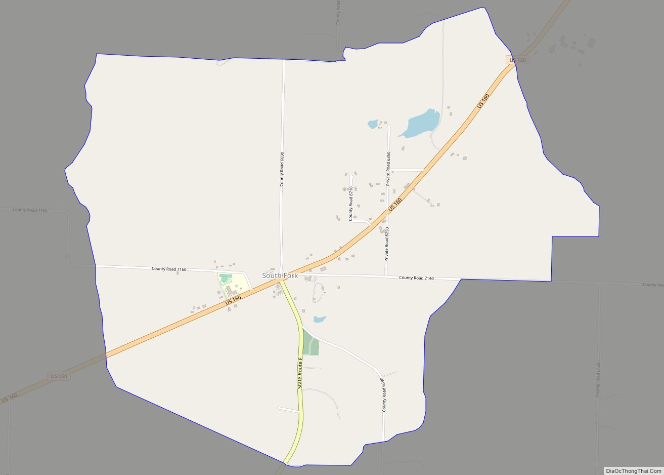
Online Interactive Map
Click on ![]() to view map in "full screen" mode.
to view map in "full screen" mode.
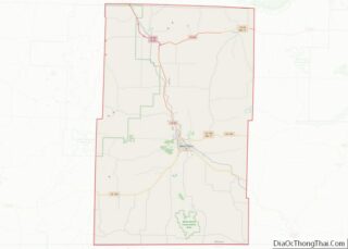
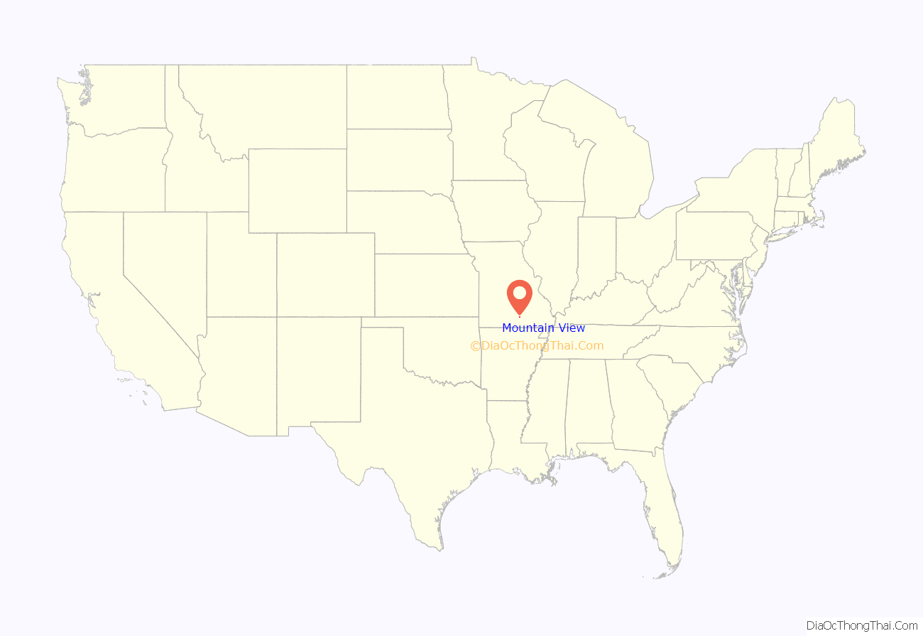
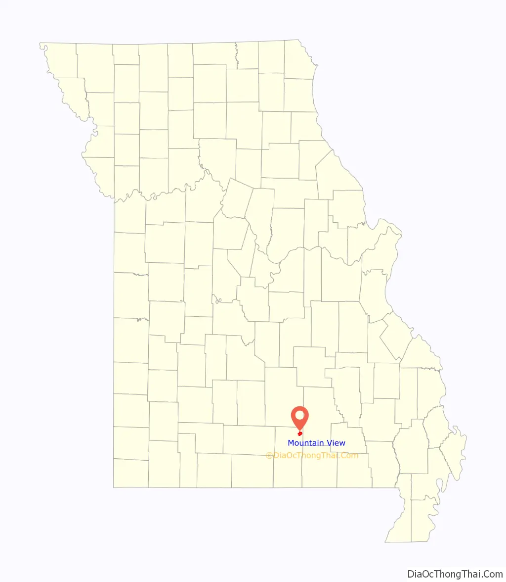
Mountain View location map. Where is Mountain View city?
History
Mountain View was platted in 1888, and named for the panoramic views had from the elevated town site. A post office called Mountain View has been in operation since 1879.
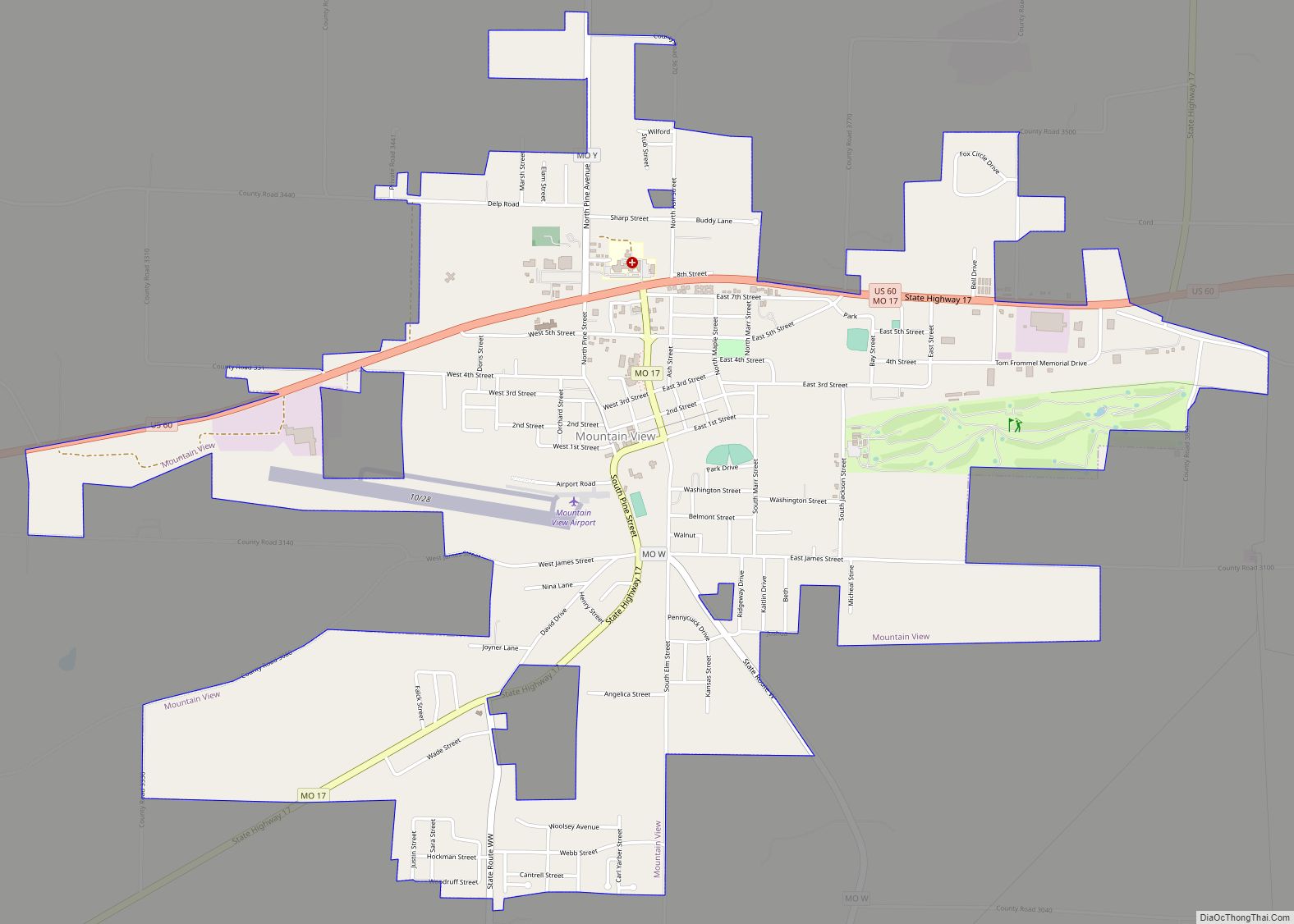
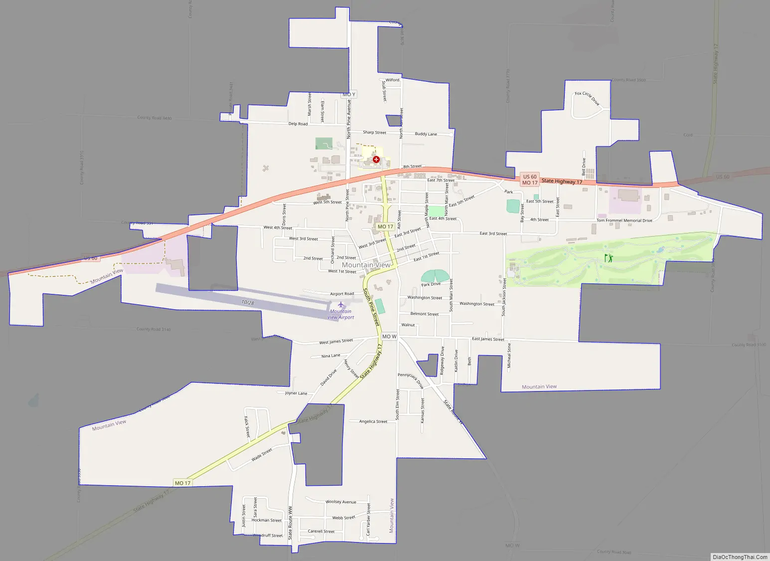
Mountain View Road Map
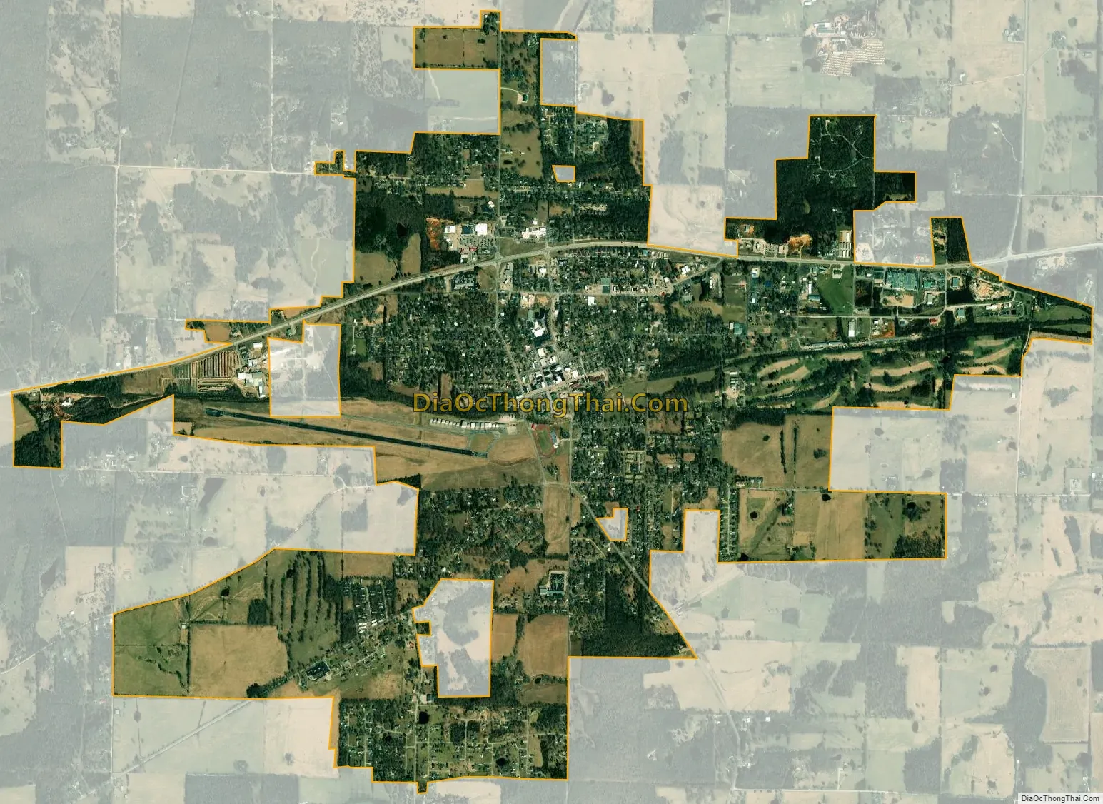
Mountain View city Satellite Map
Geography
Mountain View is located in the Missouri Ozarks in northeastern Howell County. The city is on US Route 60 approximately 13 miles east of Willow Springs and 11 miles west of Birch Tree in adjacent Shannon County.
According to the United States Census Bureau, the city has a total area of 3.75 square miles (9.71 km), all land.
Climate
The climate is humid continental of the warm summer (Köppen: Dfa) or humid subtropical if considering the -3 °C isotherm (Köppen: Cfa). Summers can sometimes be quite hot, but winters are relatively cold. On the 0 °C isotherm is the urban area located on a more southerly plain where you can find of the first climatic type mentioned above in North America (between 36 and 37 °N). The annual average temperature is 55.4 °F (13 °C). July, warmer month has an average of 77.2 °F (25.1 °C) and January the coldest month has an average temperature of 31.5 °F (-0.3 °C), slightly below the freezing point and therefore written with “D” in the climatic scheme. The average annual rainfall falls to 43.8 inches (1113 mm), with the wettest month (4.7 inches or 120 mm) and January being the driest (2.2 inches or 55 mm).
See also
Map of Missouri State and its subdivision:- Adair
- Andrew
- Atchison
- Audrain
- Barry
- Barton
- Bates
- Benton
- Bollinger
- Boone
- Buchanan
- Butler
- Caldwell
- Callaway
- Camden
- Cape Girardeau
- Carroll
- Carter
- Cass
- Cedar
- Chariton
- Christian
- Clark
- Clay
- Clinton
- Cole
- Cooper
- Crawford
- Dade
- Dallas
- Daviess
- De Kalb
- Dent
- Douglas
- Dunklin
- Franklin
- Gasconade
- Gentry
- Greene
- Grundy
- Harrison
- Henry
- Hickory
- Holt
- Howard
- Howell
- Iron
- Jackson
- Jasper
- Jefferson
- Johnson
- Knox
- Laclede
- Lafayette
- Lawrence
- Lewis
- Lincoln
- Linn
- Livingston
- Macon
- Madison
- Maries
- Marion
- McDonald
- Mercer
- Miller
- Mississippi
- Moniteau
- Monroe
- Montgomery
- Morgan
- New Madrid
- Newton
- Nodaway
- Oregon
- Osage
- Ozark
- Pemiscot
- Perry
- Pettis
- Phelps
- Pike
- Platte
- Polk
- Pulaski
- Putnam
- Ralls
- Randolph
- Ray
- Reynolds
- Ripley
- Saint Charles
- Saint Clair
- Saint Francois
- Saint Louis
- Sainte Genevieve
- Saline
- Schuyler
- Scotland
- Scott
- Shannon
- Shelby
- Stoddard
- Stone
- Sullivan
- Taney
- Texas
- Vernon
- Warren
- Washington
- Wayne
- Webster
- Worth
- Wright
- Alabama
- Alaska
- Arizona
- Arkansas
- California
- Colorado
- Connecticut
- Delaware
- District of Columbia
- Florida
- Georgia
- Hawaii
- Idaho
- Illinois
- Indiana
- Iowa
- Kansas
- Kentucky
- Louisiana
- Maine
- Maryland
- Massachusetts
- Michigan
- Minnesota
- Mississippi
- Missouri
- Montana
- Nebraska
- Nevada
- New Hampshire
- New Jersey
- New Mexico
- New York
- North Carolina
- North Dakota
- Ohio
- Oklahoma
- Oregon
- Pennsylvania
- Rhode Island
- South Carolina
- South Dakota
- Tennessee
- Texas
- Utah
- Vermont
- Virginia
- Washington
- West Virginia
- Wisconsin
- Wyoming