Murphy is a census-designated place (CDP) in Jefferson County, Missouri, United States. The population was 8,690 at the 2010 census, down from 9,048 in 2000.
| Name: | Murphy CDP |
|---|---|
| LSAD Code: | 57 |
| LSAD Description: | CDP (suffix) |
| State: | Missouri |
| County: | Jefferson County |
| Elevation: | 538 ft (164 m) |
| Total Area: | 3.90 sq mi (10.10 km²) |
| Land Area: | 3.86 sq mi (10.01 km²) |
| Water Area: | 0.04 sq mi (0.10 km²) |
| Total Population: | 8,425 |
| Population Density: | 2,180.95/sq mi (841.99/km²) |
| ZIP code: | 63026 |
| FIPS code: | 2950834 |
| GNISfeature ID: | 2393142 |
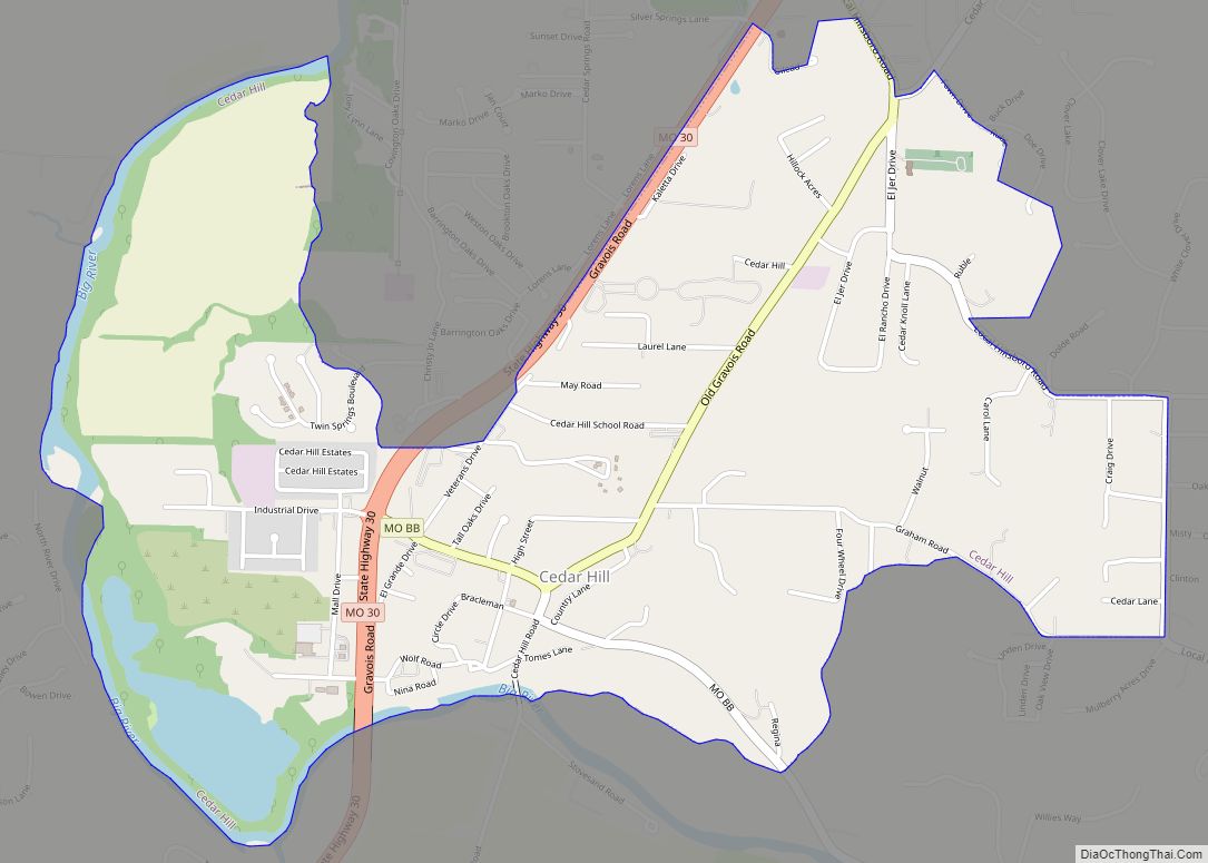
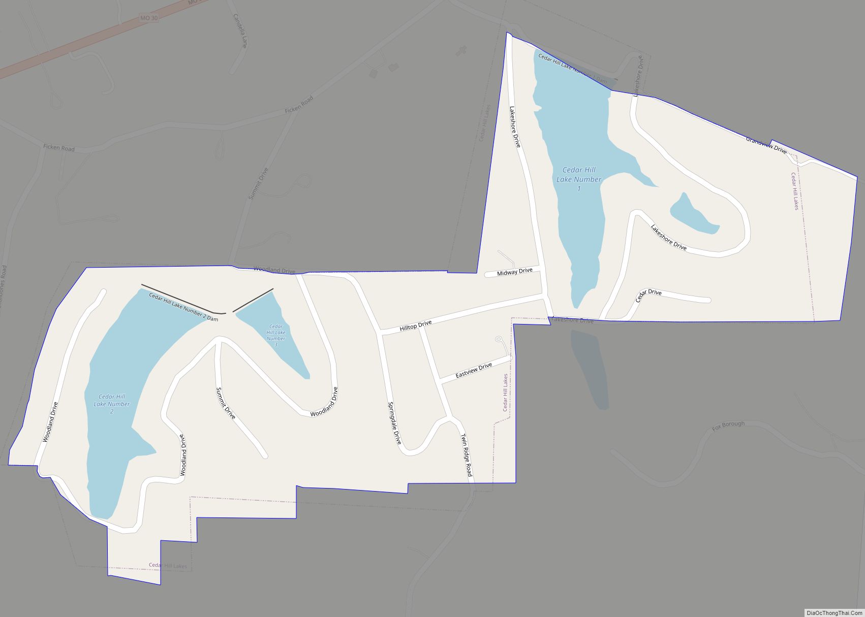
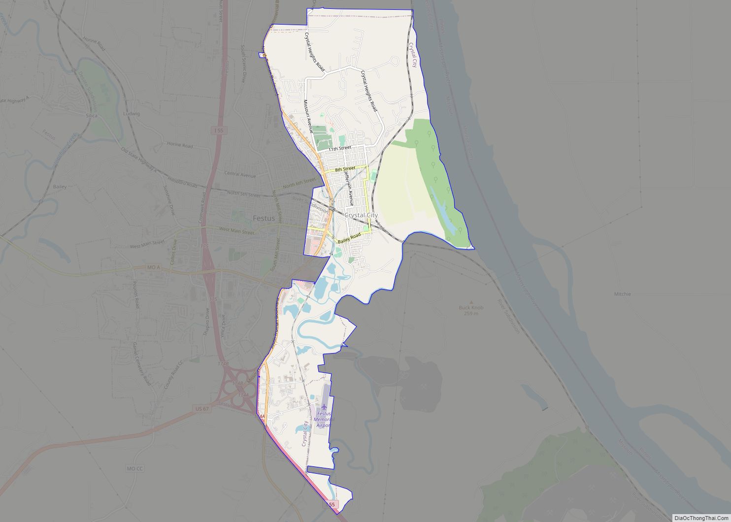
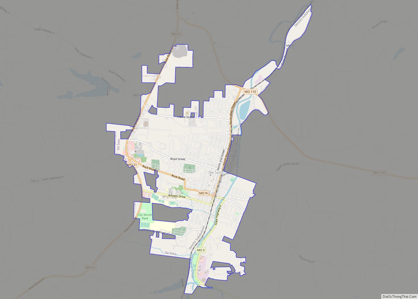
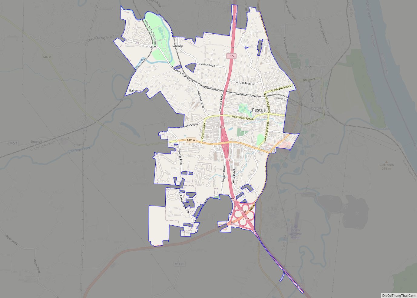
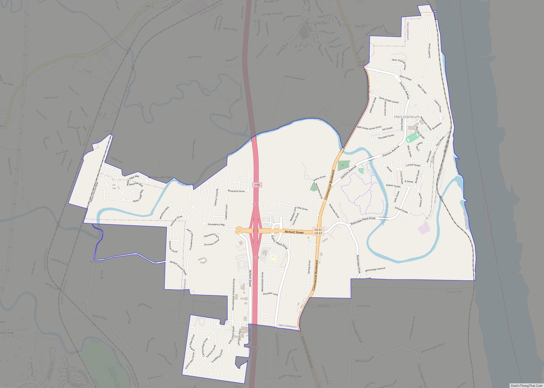
Online Interactive Map
Click on ![]() to view map in "full screen" mode.
to view map in "full screen" mode.
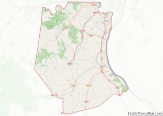
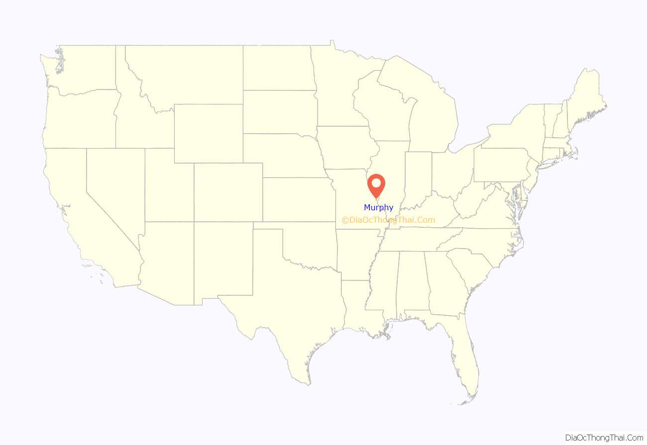
Murphy location map. Where is Murphy CDP?
History
A post office called Murphy was established in 1894, and remained in operation until 1906. The community has the name of the local Murphy family.
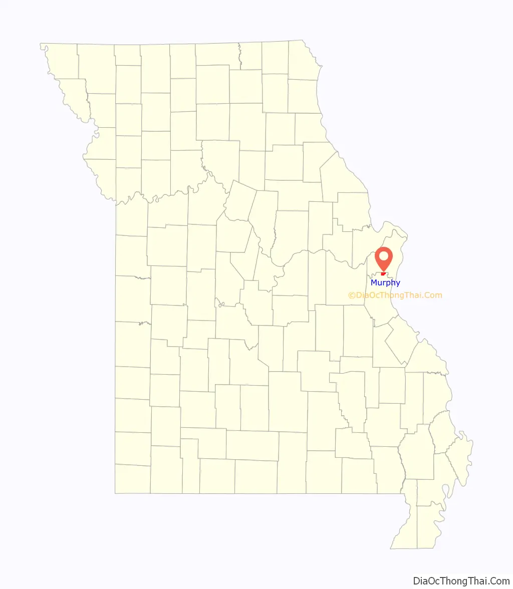
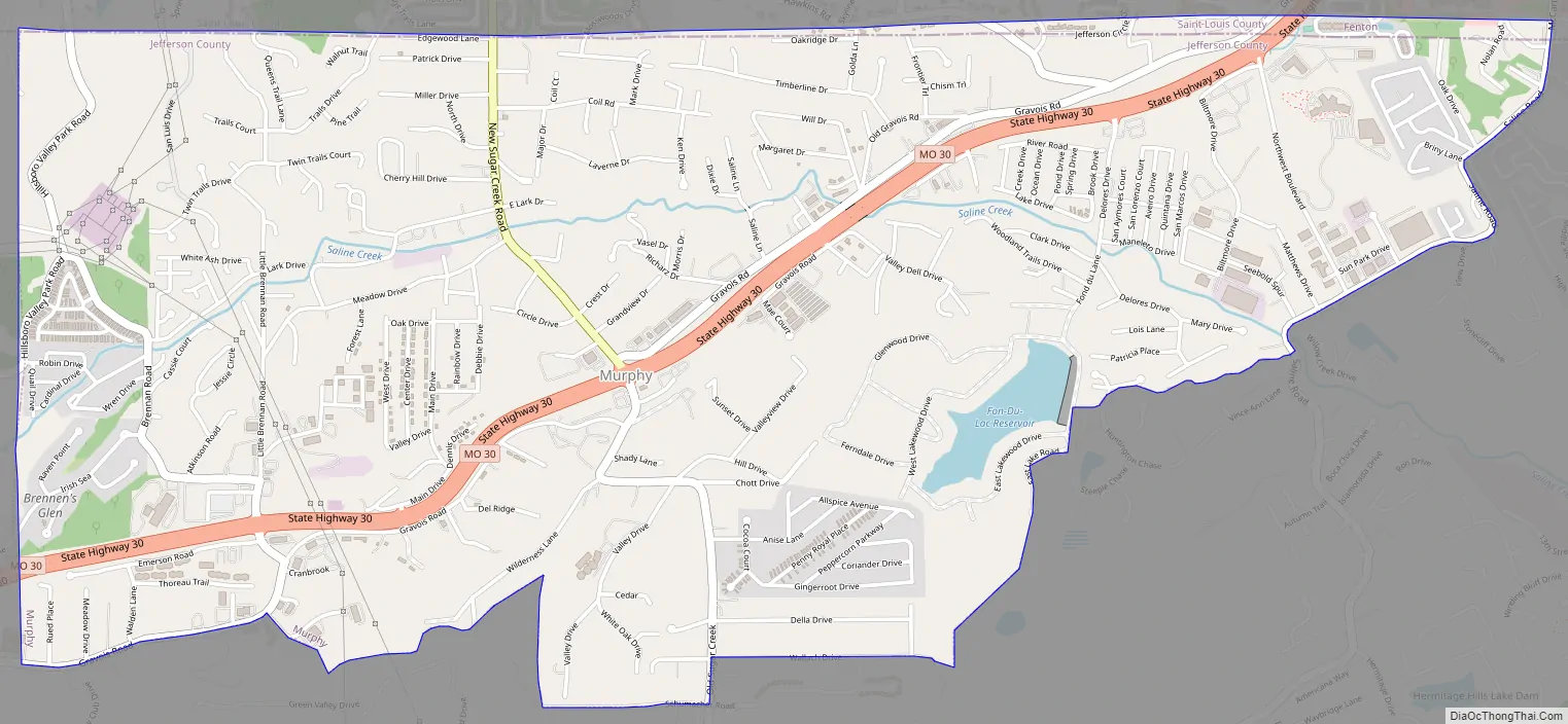
Murphy Road Map
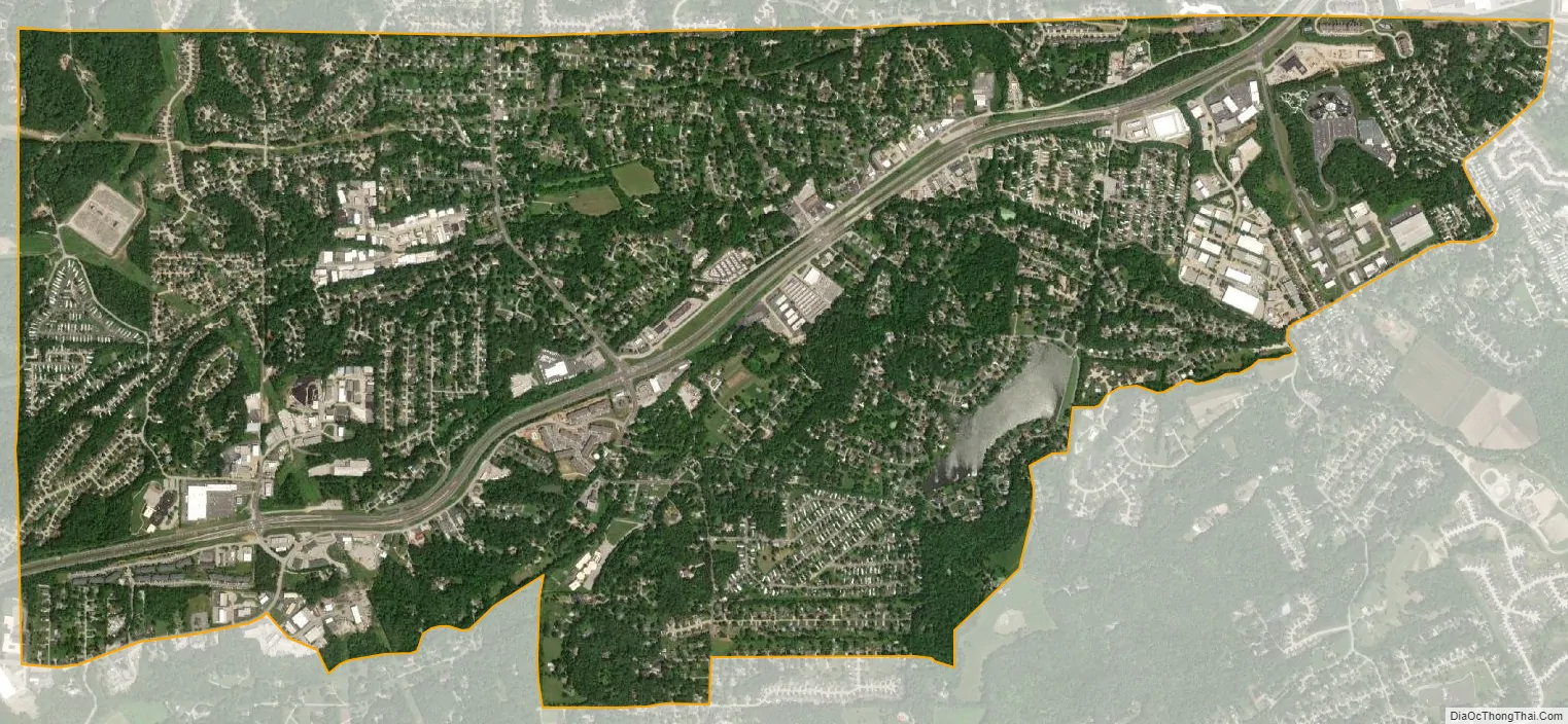
Murphy city Satellite Map
Geography
Murphy is located in northern Jefferson County with its northern border following the St. Louis County line. Missouri Route 30 passes through the community, leading northeast 19 miles (31 km) to downtown St. Louis and southwest 35 miles (56 km) to St. Clair.
According to the United States Census Bureau, the CDP has a total area of 4.0 square miles (10.3 km), of which 0.04 square miles (0.1 km), or 0.95%, are water.
See also
Map of Missouri State and its subdivision:- Adair
- Andrew
- Atchison
- Audrain
- Barry
- Barton
- Bates
- Benton
- Bollinger
- Boone
- Buchanan
- Butler
- Caldwell
- Callaway
- Camden
- Cape Girardeau
- Carroll
- Carter
- Cass
- Cedar
- Chariton
- Christian
- Clark
- Clay
- Clinton
- Cole
- Cooper
- Crawford
- Dade
- Dallas
- Daviess
- De Kalb
- Dent
- Douglas
- Dunklin
- Franklin
- Gasconade
- Gentry
- Greene
- Grundy
- Harrison
- Henry
- Hickory
- Holt
- Howard
- Howell
- Iron
- Jackson
- Jasper
- Jefferson
- Johnson
- Knox
- Laclede
- Lafayette
- Lawrence
- Lewis
- Lincoln
- Linn
- Livingston
- Macon
- Madison
- Maries
- Marion
- McDonald
- Mercer
- Miller
- Mississippi
- Moniteau
- Monroe
- Montgomery
- Morgan
- New Madrid
- Newton
- Nodaway
- Oregon
- Osage
- Ozark
- Pemiscot
- Perry
- Pettis
- Phelps
- Pike
- Platte
- Polk
- Pulaski
- Putnam
- Ralls
- Randolph
- Ray
- Reynolds
- Ripley
- Saint Charles
- Saint Clair
- Saint Francois
- Saint Louis
- Sainte Genevieve
- Saline
- Schuyler
- Scotland
- Scott
- Shannon
- Shelby
- Stoddard
- Stone
- Sullivan
- Taney
- Texas
- Vernon
- Warren
- Washington
- Wayne
- Webster
- Worth
- Wright
- Alabama
- Alaska
- Arizona
- Arkansas
- California
- Colorado
- Connecticut
- Delaware
- District of Columbia
- Florida
- Georgia
- Hawaii
- Idaho
- Illinois
- Indiana
- Iowa
- Kansas
- Kentucky
- Louisiana
- Maine
- Maryland
- Massachusetts
- Michigan
- Minnesota
- Mississippi
- Missouri
- Montana
- Nebraska
- Nevada
- New Hampshire
- New Jersey
- New Mexico
- New York
- North Carolina
- North Dakota
- Ohio
- Oklahoma
- Oregon
- Pennsylvania
- Rhode Island
- South Carolina
- South Dakota
- Tennessee
- Texas
- Utah
- Vermont
- Virginia
- Washington
- West Virginia
- Wisconsin
- Wyoming