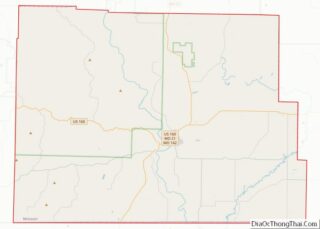
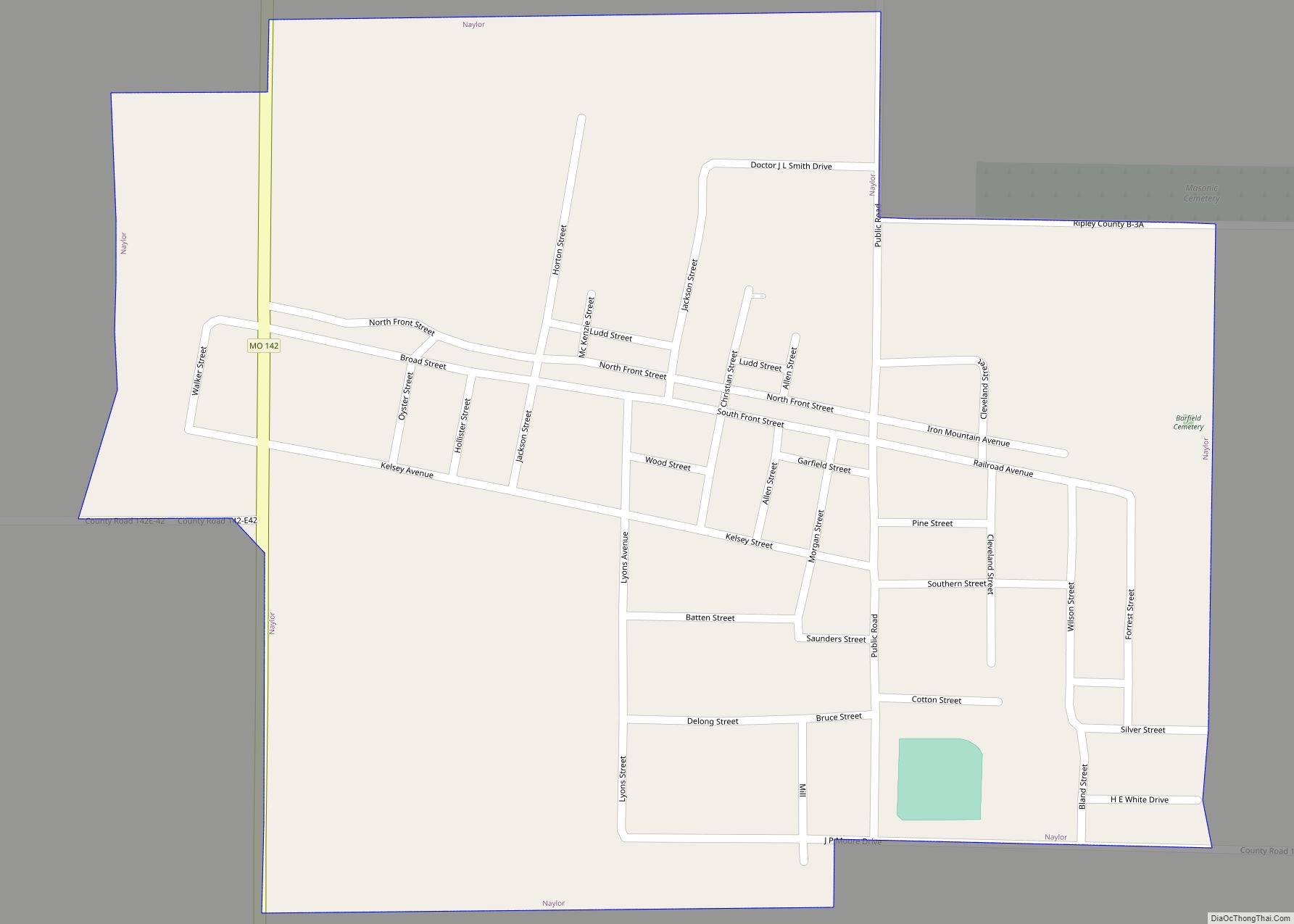
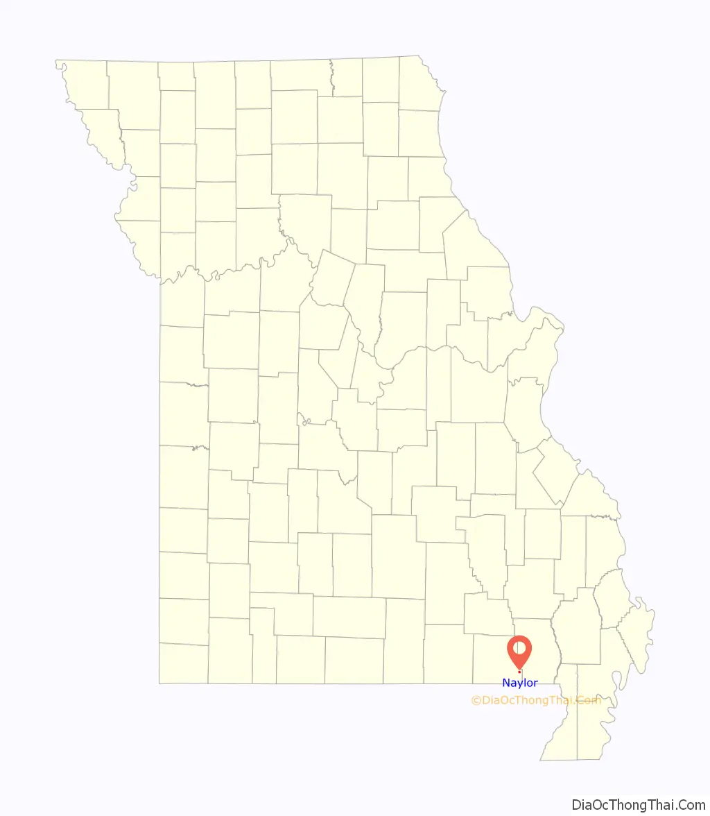
Naylor is a city in southeastern Ripley County, Missouri, United States. The population was 440 at the 2020 census.
| Name: | Naylor city |
|---|---|
| LSAD Code: | 25 |
| LSAD Description: | city (suffix) |
| State: | Missouri |
| County: | Ripley County |
| Elevation: | 308 ft (94 m) |
| Total Area: | 0.55 sq mi (1.43 km²) |
| Land Area: | 0.55 sq mi (1.43 km²) |
| Water Area: | 0.00 sq mi (0.00 km²) |
| Total Population: | 440 |
| Population Density: | 794.22/sq mi (306.90/km²) |
| ZIP code: | 63953 |
| Area code: | 573 |
| FIPS code: | 2951302 |
| GNISfeature ID: | 2395161 |
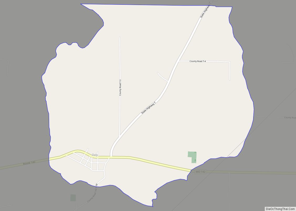
Online Interactive Map
Click on ![]() to view map in "full screen" mode.
to view map in "full screen" mode.
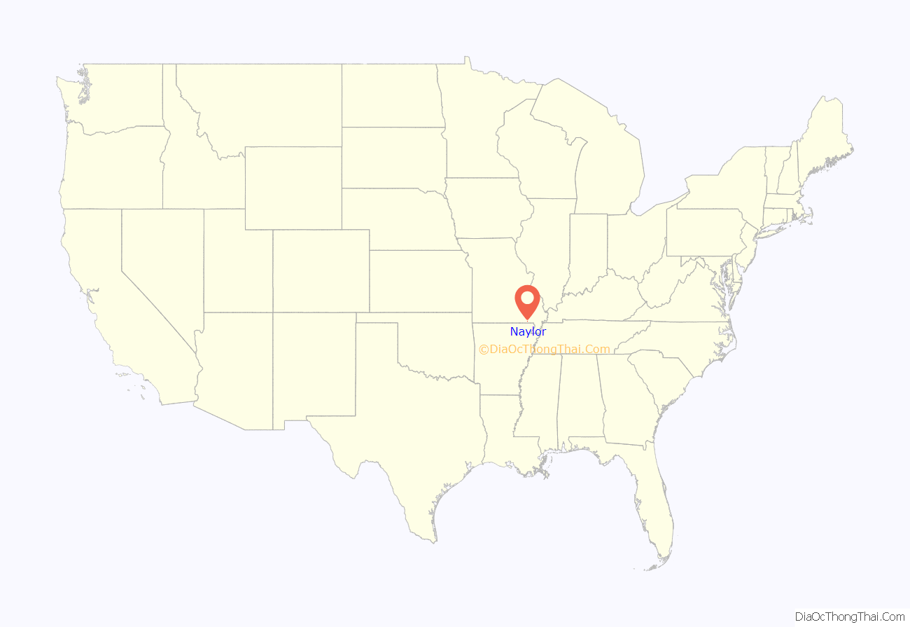
Naylor location map. Where is Naylor city?
History
Naylor was originally called Barfield, and under the latter name had its start when the railroad was extended to that point. A post office called Naylor has been in operation since 1892. The present name is after William A. Naylor, a businessperson in the lumber industry.
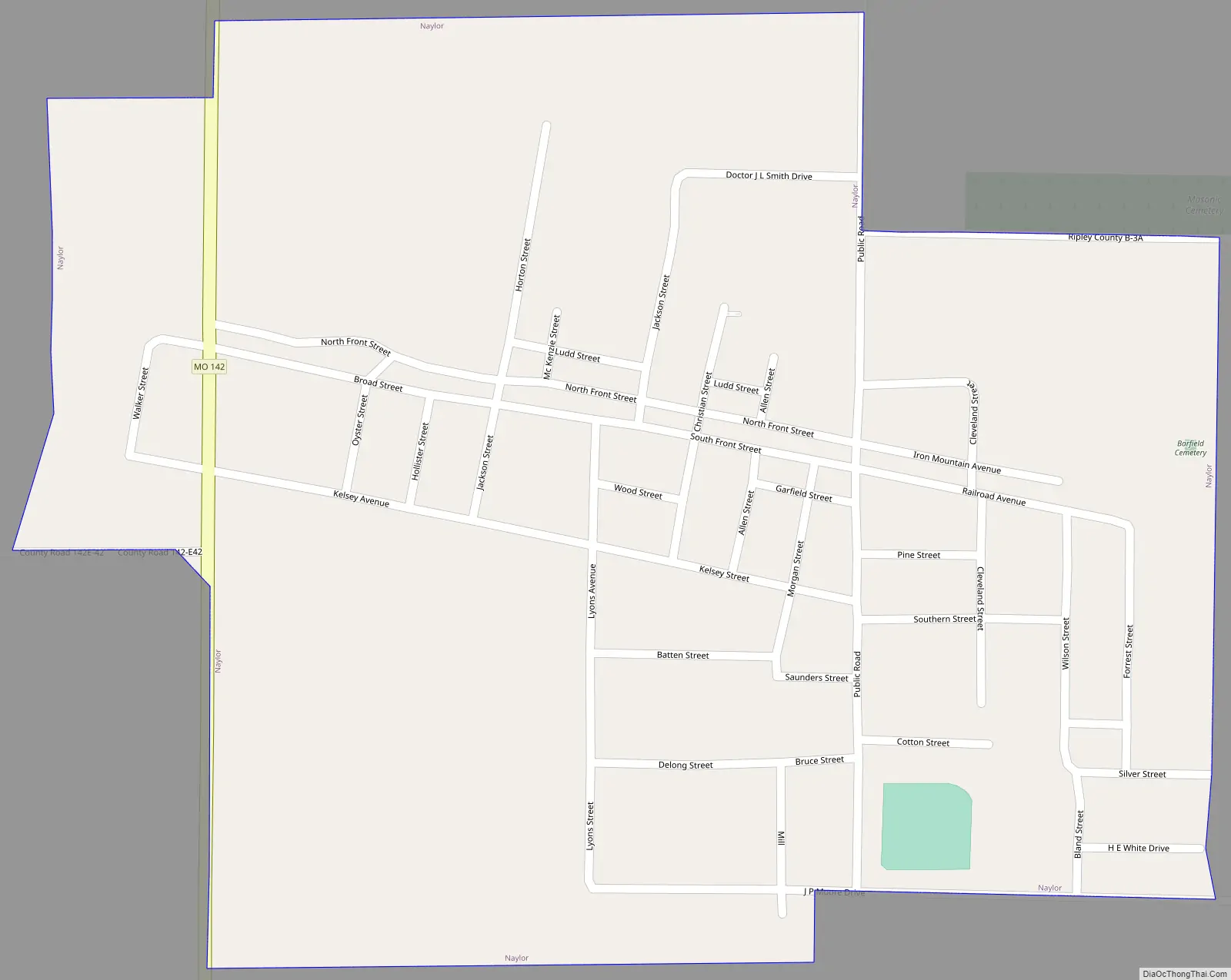
Naylor Road Map
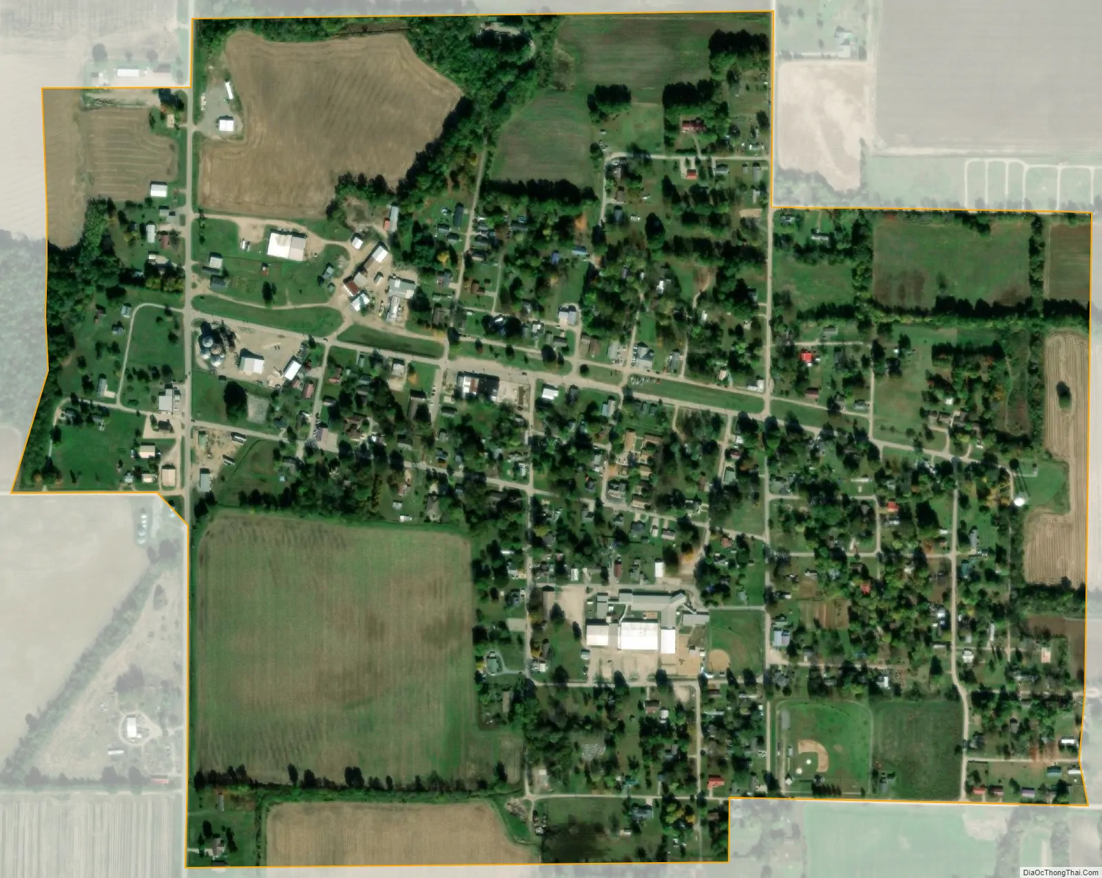
Naylor city Satellite Map
Geography
Naylor is located in the southeast corner of the county 1.5 miles from the Ripley-Butler county line and approximately five miles north of the Missouri-Arkansas state line. Doniphan is about 12 miles to the west-northwest. The Little Black River flows past 1.5 miles to the northwest.
According to the United States Census Bureau, the city has a total area of 0.55 square miles (1.42 km), all land.
See also
Map of Missouri State and its subdivision:- Adair
- Andrew
- Atchison
- Audrain
- Barry
- Barton
- Bates
- Benton
- Bollinger
- Boone
- Buchanan
- Butler
- Caldwell
- Callaway
- Camden
- Cape Girardeau
- Carroll
- Carter
- Cass
- Cedar
- Chariton
- Christian
- Clark
- Clay
- Clinton
- Cole
- Cooper
- Crawford
- Dade
- Dallas
- Daviess
- De Kalb
- Dent
- Douglas
- Dunklin
- Franklin
- Gasconade
- Gentry
- Greene
- Grundy
- Harrison
- Henry
- Hickory
- Holt
- Howard
- Howell
- Iron
- Jackson
- Jasper
- Jefferson
- Johnson
- Knox
- Laclede
- Lafayette
- Lawrence
- Lewis
- Lincoln
- Linn
- Livingston
- Macon
- Madison
- Maries
- Marion
- McDonald
- Mercer
- Miller
- Mississippi
- Moniteau
- Monroe
- Montgomery
- Morgan
- New Madrid
- Newton
- Nodaway
- Oregon
- Osage
- Ozark
- Pemiscot
- Perry
- Pettis
- Phelps
- Pike
- Platte
- Polk
- Pulaski
- Putnam
- Ralls
- Randolph
- Ray
- Reynolds
- Ripley
- Saint Charles
- Saint Clair
- Saint Francois
- Saint Louis
- Sainte Genevieve
- Saline
- Schuyler
- Scotland
- Scott
- Shannon
- Shelby
- Stoddard
- Stone
- Sullivan
- Taney
- Texas
- Vernon
- Warren
- Washington
- Wayne
- Webster
- Worth
- Wright
- Alabama
- Alaska
- Arizona
- Arkansas
- California
- Colorado
- Connecticut
- Delaware
- District of Columbia
- Florida
- Georgia
- Hawaii
- Idaho
- Illinois
- Indiana
- Iowa
- Kansas
- Kentucky
- Louisiana
- Maine
- Maryland
- Massachusetts
- Michigan
- Minnesota
- Mississippi
- Missouri
- Montana
- Nebraska
- Nevada
- New Hampshire
- New Jersey
- New Mexico
- New York
- North Carolina
- North Dakota
- Ohio
- Oklahoma
- Oregon
- Pennsylvania
- Rhode Island
- South Carolina
- South Dakota
- Tennessee
- Texas
- Utah
- Vermont
- Virginia
- Washington
- West Virginia
- Wisconsin
- Wyoming