Old Monroe is a city in Lincoln County, Missouri, United States. The population was 265 at the 2010 census.
| Name: | Old Monroe city |
|---|---|
| LSAD Code: | 25 |
| LSAD Description: | city (suffix) |
| State: | Missouri |
| County: | Lincoln County |
| Elevation: | 443 ft (135 m) |
| Total Area: | 0.37 sq mi (0.95 km²) |
| Land Area: | 0.36 sq mi (0.94 km²) |
| Water Area: | 0.01 sq mi (0.02 km²) |
| Total Population: | 249 |
| Population Density: | 687.85/sq mi (265.62/km²) |
| ZIP code: | 63369 |
| Area code: | 636 |
| FIPS code: | 2954416 |
| GNISfeature ID: | 2396052 |
Online Interactive Map
Click on ![]() to view map in "full screen" mode.
to view map in "full screen" mode.
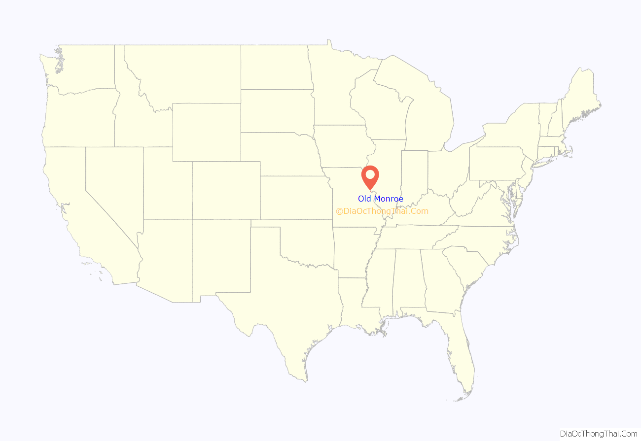
Old Monroe location map. Where is Old Monroe city?
History
Old Monroe was the site of Fort Howard. It was laid out in 1819, and named after President James Monroe. The name was prefixed with “Old” in order to avoid postal conflict with Monroe City.
The Battle of the Sink Hole was fought on May 24, 1815, after the official end of the War of 1812, between Missouri Rangers and Sauk Indians led by Black Hawk. The Sauk were unaware, or did not care, that their British patrons had signed the Treaty of Ghent with the U.S. The battle was fought in a low spot near the mouth of the Cuivre River near the current day city of Old Monroe.
After the battle, in 1816, Black Hawk reaffirmed the Treaty of St. Louis after re-negotiation with the United States government.
The city was originally named “Monroe” and it served as the county seat from 1819 until 1823. The name would change to its current form circa 1857 when Monroe County and its county seat, Monroe City, were established. The postal office then labeled the older town as Old Monroe.
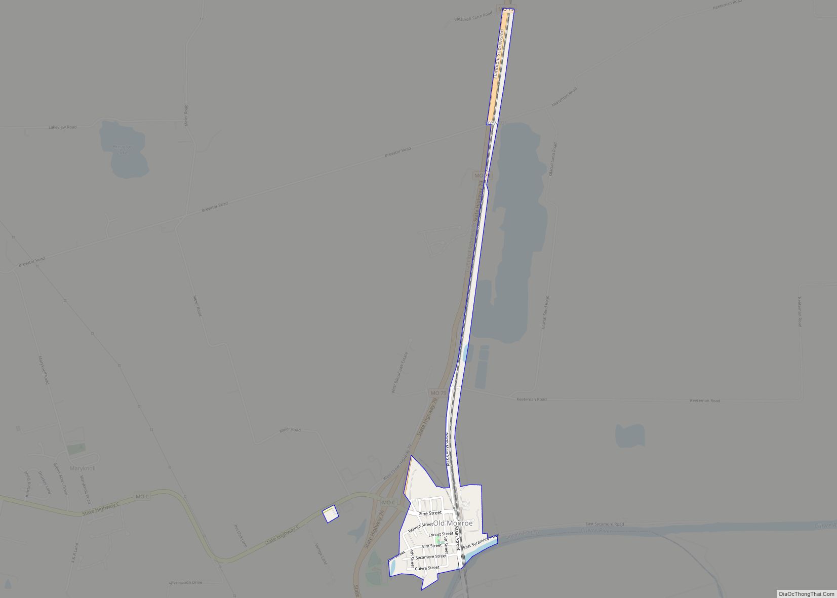
Old Monroe Road Map
Old Monroe city Satellite Map
Geography
Old Monroe is located at 38°55′55″N 90°44′53″W / 38.93194°N 90.74806°W / 38.93194; -90.74806 (38.931993, -90.748049).
According to the United States Census Bureau, the city has a total area of 0.26 square miles (0.67 km), of which 0.25 square miles (0.65 km) is land and 0.01 square miles (0.03 km) is water.
See also
Map of Missouri State and its subdivision:- Adair
- Andrew
- Atchison
- Audrain
- Barry
- Barton
- Bates
- Benton
- Bollinger
- Boone
- Buchanan
- Butler
- Caldwell
- Callaway
- Camden
- Cape Girardeau
- Carroll
- Carter
- Cass
- Cedar
- Chariton
- Christian
- Clark
- Clay
- Clinton
- Cole
- Cooper
- Crawford
- Dade
- Dallas
- Daviess
- De Kalb
- Dent
- Douglas
- Dunklin
- Franklin
- Gasconade
- Gentry
- Greene
- Grundy
- Harrison
- Henry
- Hickory
- Holt
- Howard
- Howell
- Iron
- Jackson
- Jasper
- Jefferson
- Johnson
- Knox
- Laclede
- Lafayette
- Lawrence
- Lewis
- Lincoln
- Linn
- Livingston
- Macon
- Madison
- Maries
- Marion
- McDonald
- Mercer
- Miller
- Mississippi
- Moniteau
- Monroe
- Montgomery
- Morgan
- New Madrid
- Newton
- Nodaway
- Oregon
- Osage
- Ozark
- Pemiscot
- Perry
- Pettis
- Phelps
- Pike
- Platte
- Polk
- Pulaski
- Putnam
- Ralls
- Randolph
- Ray
- Reynolds
- Ripley
- Saint Charles
- Saint Clair
- Saint Francois
- Saint Louis
- Sainte Genevieve
- Saline
- Schuyler
- Scotland
- Scott
- Shannon
- Shelby
- Stoddard
- Stone
- Sullivan
- Taney
- Texas
- Vernon
- Warren
- Washington
- Wayne
- Webster
- Worth
- Wright
- Alabama
- Alaska
- Arizona
- Arkansas
- California
- Colorado
- Connecticut
- Delaware
- District of Columbia
- Florida
- Georgia
- Hawaii
- Idaho
- Illinois
- Indiana
- Iowa
- Kansas
- Kentucky
- Louisiana
- Maine
- Maryland
- Massachusetts
- Michigan
- Minnesota
- Mississippi
- Missouri
- Montana
- Nebraska
- Nevada
- New Hampshire
- New Jersey
- New Mexico
- New York
- North Carolina
- North Dakota
- Ohio
- Oklahoma
- Oregon
- Pennsylvania
- Rhode Island
- South Carolina
- South Dakota
- Tennessee
- Texas
- Utah
- Vermont
- Virginia
- Washington
- West Virginia
- Wisconsin
- Wyoming
