Olean is a town in northern Miller County, Missouri, United States. The population was 128 at the 2010 census.
| Name: | Olean town |
|---|---|
| LSAD Code: | 43 |
| LSAD Description: | town (suffix) |
| State: | Missouri |
| County: | Miller County |
| Elevation: | 781 ft (238 m) |
| Total Area: | 0.17 sq mi (0.45 km²) |
| Land Area: | 0.17 sq mi (0.45 km²) |
| Water Area: | 0.00 sq mi (0.00 km²) |
| Total Population: | 114 |
| Population Density: | 658.96/sq mi (254.58/km²) |
| ZIP code: | 65064 |
| Area code: | 573 |
| FIPS code: | 2954560 |
| GNISfeature ID: | 2396832 |
Online Interactive Map
Click on ![]() to view map in "full screen" mode.
to view map in "full screen" mode.
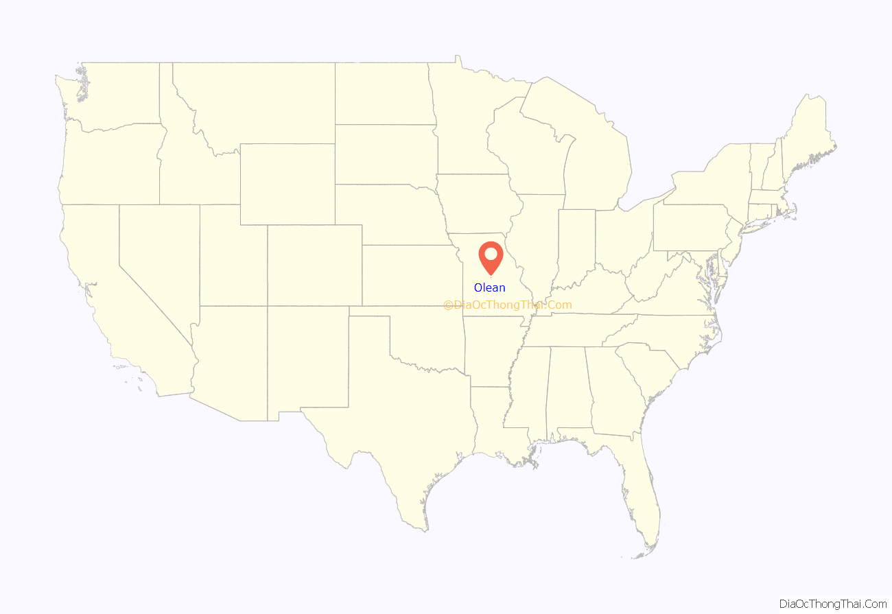
Olean location map. Where is Olean town?
History
The community was laid in 1881-1882 by the Jefferson City, Lebanon and Southwestern Railway which became the Missouri Pacific Railroad. It was originally called Proctor, after James G. Proctor, who was an early settler. The name was rejected because there was another Procter in Missouri. It was then changed to Cove because of its semicircular shape. That name was also rejected because of another similar name in the state. Chester was suggested but again was rejected because there was another Chester on the rail line. Ultimately, the railroad company imposed the name “Olean,” after Olean, New York, apparently on a lark, as no documentation survives explaining any reasoning for choosing a city with no connections to the town in Missouri, which in turn had no connection to oil. Attribution to Dr. W.S. Allee appear not to be true, as Allee never lived in or visited New York State.
At the turn of the 20th century, Olean contained a gristmill and a canning factory.
The railroad left the community in 1962, although its station is listed on the National Register of Historic Places.
Since 1993, the community has hosted an annual Testicle Festival featuring cooked testicles from various animals.
The Olean Railroad Depot was added to the National Register of Historic Places in 1993.
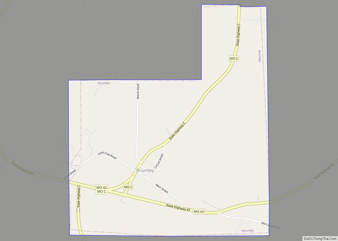
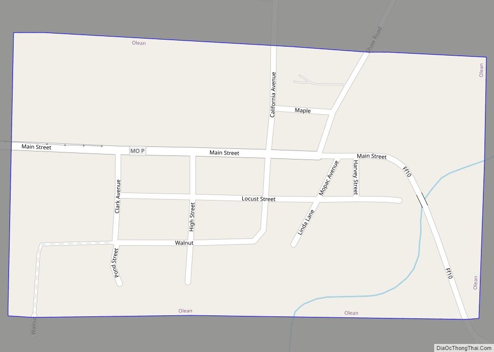
Olean Road Map
Olean city Satellite Map
Geography
According to the United States Census Bureau, the village has a total area of 0.17 square miles (0.44 km), all land.
See also
Map of Missouri State and its subdivision:- Adair
- Andrew
- Atchison
- Audrain
- Barry
- Barton
- Bates
- Benton
- Bollinger
- Boone
- Buchanan
- Butler
- Caldwell
- Callaway
- Camden
- Cape Girardeau
- Carroll
- Carter
- Cass
- Cedar
- Chariton
- Christian
- Clark
- Clay
- Clinton
- Cole
- Cooper
- Crawford
- Dade
- Dallas
- Daviess
- De Kalb
- Dent
- Douglas
- Dunklin
- Franklin
- Gasconade
- Gentry
- Greene
- Grundy
- Harrison
- Henry
- Hickory
- Holt
- Howard
- Howell
- Iron
- Jackson
- Jasper
- Jefferson
- Johnson
- Knox
- Laclede
- Lafayette
- Lawrence
- Lewis
- Lincoln
- Linn
- Livingston
- Macon
- Madison
- Maries
- Marion
- McDonald
- Mercer
- Miller
- Mississippi
- Moniteau
- Monroe
- Montgomery
- Morgan
- New Madrid
- Newton
- Nodaway
- Oregon
- Osage
- Ozark
- Pemiscot
- Perry
- Pettis
- Phelps
- Pike
- Platte
- Polk
- Pulaski
- Putnam
- Ralls
- Randolph
- Ray
- Reynolds
- Ripley
- Saint Charles
- Saint Clair
- Saint Francois
- Saint Louis
- Sainte Genevieve
- Saline
- Schuyler
- Scotland
- Scott
- Shannon
- Shelby
- Stoddard
- Stone
- Sullivan
- Taney
- Texas
- Vernon
- Warren
- Washington
- Wayne
- Webster
- Worth
- Wright
- Alabama
- Alaska
- Arizona
- Arkansas
- California
- Colorado
- Connecticut
- Delaware
- District of Columbia
- Florida
- Georgia
- Hawaii
- Idaho
- Illinois
- Indiana
- Iowa
- Kansas
- Kentucky
- Louisiana
- Maine
- Maryland
- Massachusetts
- Michigan
- Minnesota
- Mississippi
- Missouri
- Montana
- Nebraska
- Nevada
- New Hampshire
- New Jersey
- New Mexico
- New York
- North Carolina
- North Dakota
- Ohio
- Oklahoma
- Oregon
- Pennsylvania
- Rhode Island
- South Carolina
- South Dakota
- Tennessee
- Texas
- Utah
- Vermont
- Virginia
- Washington
- West Virginia
- Wisconsin
- Wyoming
