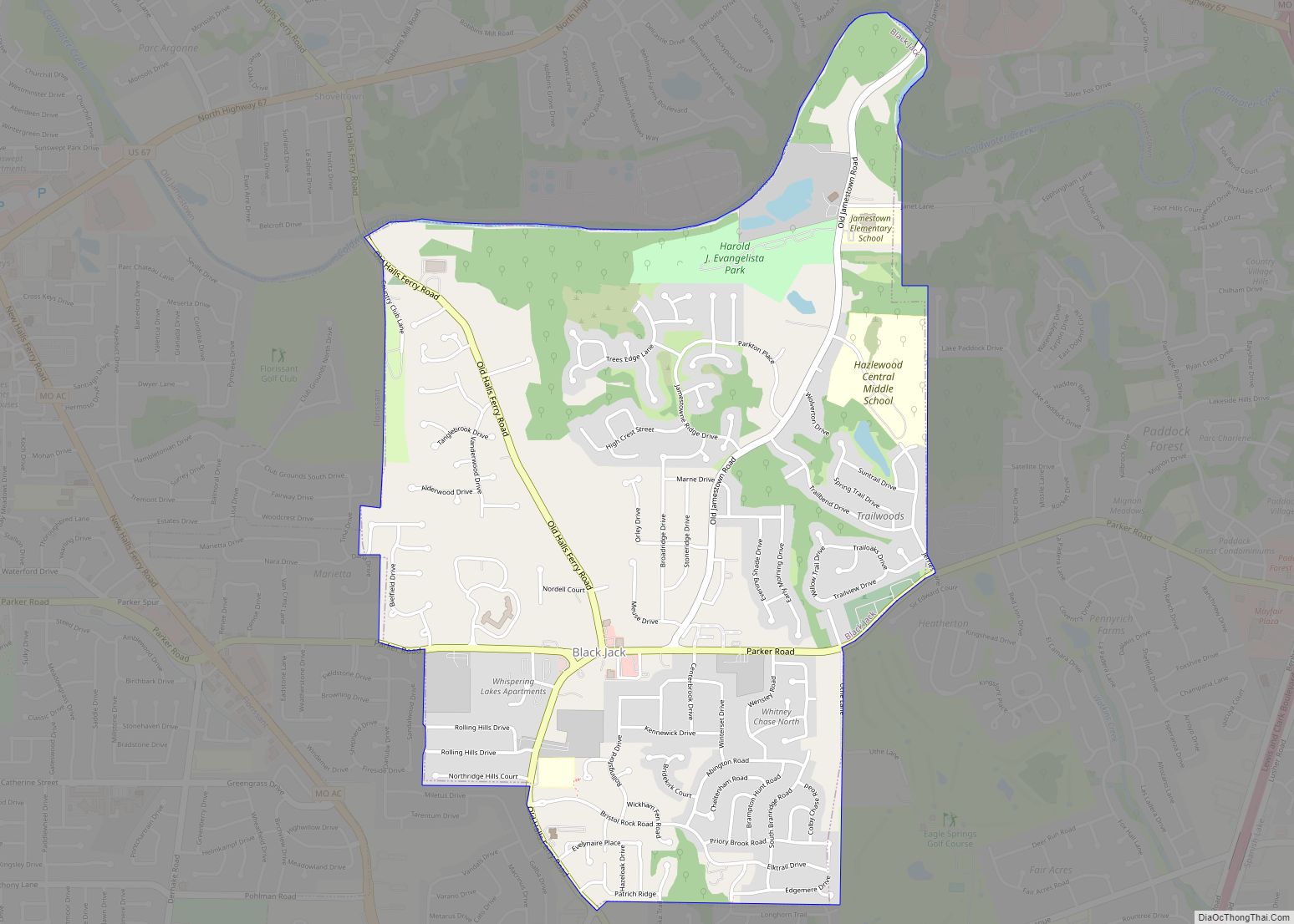
Pagedale is a city in St. Louis County, Missouri, United States. The population was 3,310 at the 2010 census.
| Name: | Pagedale city |
|---|---|
| LSAD Code: | 25 |
| LSAD Description: | city (suffix) |
| State: | Missouri |
| County: | St. Louis County |
| Elevation: | 581 ft (177 m) |
| Total Area: | 1.20 sq mi (3.12 km²) |
| Land Area: | 1.20 sq mi (3.12 km²) |
| Water Area: | 0.00 sq mi (0.00 km²) |
| Total Population: | 2,554 |
| Population Density: | 2,121.26/sq mi (819.26/km²) |
| Area code: | 314 |
| FIPS code: | 2955964 |
| GNISfeature ID: | 2396126 |
| Website: | https://www.cityofpagedalemo.gov/ |
Online Interactive Map
Click on ![]() to view map in "full screen" mode.
to view map in "full screen" mode.
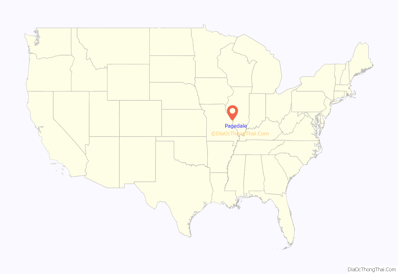
Pagedale location map. Where is Pagedale city?
History
The area originally was farmland, but it did have an interesting history with several pockets of significant Greek and African-American residents. Because St. Vincent’s mental hospital was located just north of St. Charles Rock Road, a streetcar line was constructed in the late 1800s from just south of Olive Street Road in University City north on the east side of Ferguson Avenue through what is now Pagedale to meet the electric interurban line to Saint Charles at the Rock Road. The south end of the line eventually joined with the Creve Coeur Lake streetcar line which ran on Vernon Avenue (but later was relocated a block further south to run behind a new subdivision). That transportation opened up the area to housing.
South of Pagedale, at Page and Ferguson, was Hazel Hill, which eventually became the reason for the Lincoln School which became part of the Normandy School District. Though long forgotten as a name, the Hazel Hill community still exists and the Lincoln building is still standing. When Pagedale was incorporated, the northern end went beyond the Rock Road up Hoke Avenue, which later was renamed Ferguson though it didn’t line up with Ferguson. In 1954 a new housing subdivision was built at Ferguson and North Market Street. That subdivision, named Engelholm Gardens, a long forgotten name also, still stands, looking exactly as it did in 1954.
In 2001, a new $1 million Pagedale City Hall and Police Facility was built. It included an 8,000-square-foot space to house a local court facility.
In November 2015, some residents filed a civil rights class action lawsuit against the city of Pagedale for overly aggressive ticketing of residential code enforcement as a “revenue generating machine”.
Pagedale Road Map
Pagedale city Satellite Map
Geography
According to the United States Census Bureau, the city has a total area of 1.19 square miles (3.08 km), all land.
See also
Map of Missouri State and its subdivision:- Adair
- Andrew
- Atchison
- Audrain
- Barry
- Barton
- Bates
- Benton
- Bollinger
- Boone
- Buchanan
- Butler
- Caldwell
- Callaway
- Camden
- Cape Girardeau
- Carroll
- Carter
- Cass
- Cedar
- Chariton
- Christian
- Clark
- Clay
- Clinton
- Cole
- Cooper
- Crawford
- Dade
- Dallas
- Daviess
- De Kalb
- Dent
- Douglas
- Dunklin
- Franklin
- Gasconade
- Gentry
- Greene
- Grundy
- Harrison
- Henry
- Hickory
- Holt
- Howard
- Howell
- Iron
- Jackson
- Jasper
- Jefferson
- Johnson
- Knox
- Laclede
- Lafayette
- Lawrence
- Lewis
- Lincoln
- Linn
- Livingston
- Macon
- Madison
- Maries
- Marion
- McDonald
- Mercer
- Miller
- Mississippi
- Moniteau
- Monroe
- Montgomery
- Morgan
- New Madrid
- Newton
- Nodaway
- Oregon
- Osage
- Ozark
- Pemiscot
- Perry
- Pettis
- Phelps
- Pike
- Platte
- Polk
- Pulaski
- Putnam
- Ralls
- Randolph
- Ray
- Reynolds
- Ripley
- Saint Charles
- Saint Clair
- Saint Francois
- Saint Louis
- Sainte Genevieve
- Saline
- Schuyler
- Scotland
- Scott
- Shannon
- Shelby
- Stoddard
- Stone
- Sullivan
- Taney
- Texas
- Vernon
- Warren
- Washington
- Wayne
- Webster
- Worth
- Wright
- Alabama
- Alaska
- Arizona
- Arkansas
- California
- Colorado
- Connecticut
- Delaware
- District of Columbia
- Florida
- Georgia
- Hawaii
- Idaho
- Illinois
- Indiana
- Iowa
- Kansas
- Kentucky
- Louisiana
- Maine
- Maryland
- Massachusetts
- Michigan
- Minnesota
- Mississippi
- Missouri
- Montana
- Nebraska
- Nevada
- New Hampshire
- New Jersey
- New Mexico
- New York
- North Carolina
- North Dakota
- Ohio
- Oklahoma
- Oregon
- Pennsylvania
- Rhode Island
- South Carolina
- South Dakota
- Tennessee
- Texas
- Utah
- Vermont
- Virginia
- Washington
- West Virginia
- Wisconsin
- Wyoming
