Parma is a city in New Madrid County, Missouri, United States. The population was 713 at the 2010 census.
| Name: | Parma city |
|---|---|
| LSAD Code: | 25 |
| LSAD Description: | city (suffix) |
| State: | Missouri |
| County: | New Madrid County |
| Elevation: | 282 ft (86 m) |
| Total Area: | 0.64 sq mi (1.65 km²) |
| Land Area: | 0.64 sq mi (1.65 km²) |
| Water Area: | 0.00 sq mi (0.00 km²) |
| Total Population: | 555 |
| Population Density: | 869.91/sq mi (335.82/km²) |
| ZIP code: | 63870 |
| Area code: | 573 |
| FIPS code: | 2956342 |
| GNISfeature ID: | 0724048 |
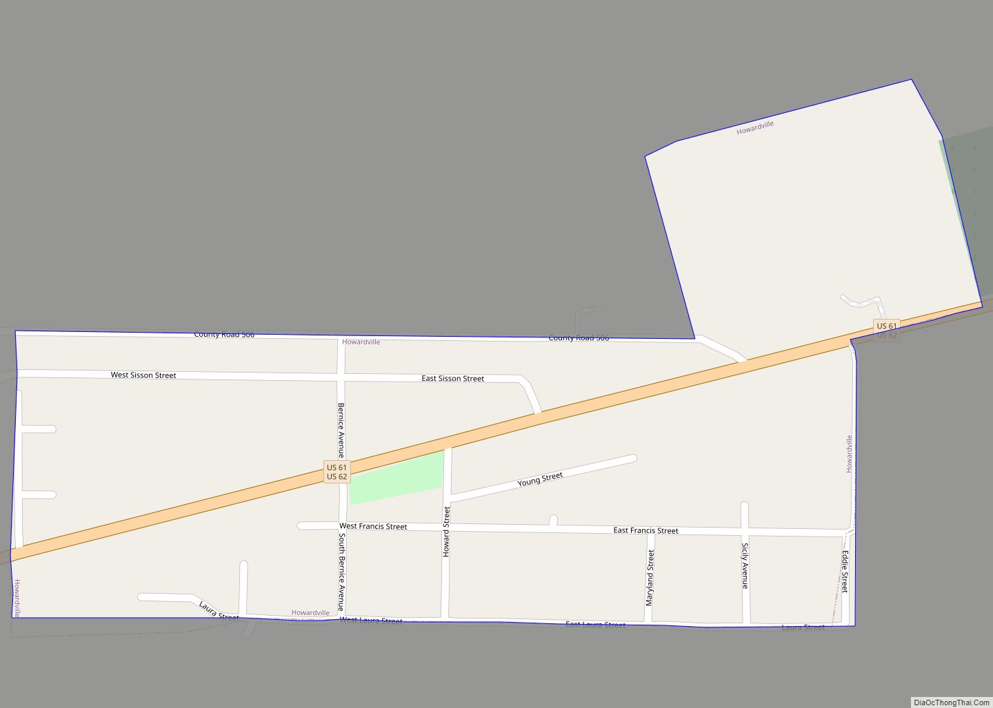
Online Interactive Map
Click on ![]() to view map in "full screen" mode.
to view map in "full screen" mode.
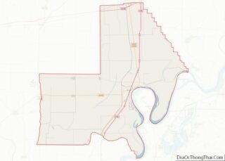
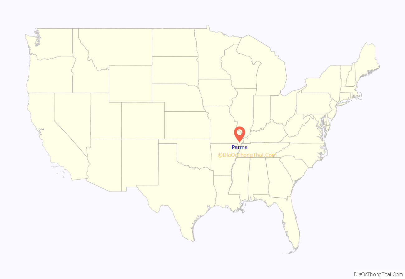
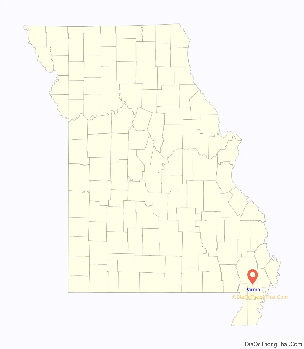
Parma location map. Where is Parma city?
History
Parma was first incorporated as a village in 1900.
At the turn of the 20th century, Parma contained two saw mills.
In 1903, Parma, along with the neighboring community of Lotta, was incorporated as a village, retaining the name “Parma.”
It became a fourth class city in 1905.
On April 14, 2015, Tyus Byrd was sworn in as the first African-American woman mayor of Parma. Byrd succeeded Randall Ramsey, who had been mayor of Parma for a total of 37 years. Shortly before Byrd was to be sworn in, four of the city’s six police officers resigned, along with the city’s clerk and the supervisor of water treatment. On November 23, 2020, Tyus Byrd was arrested in Jonesboro, Arkansas on stealing $25,000 or more and forgery charges. On May 4, 2021, Tyus Byrd was charged with two counts of forgery and two counts of receiving stolen property.
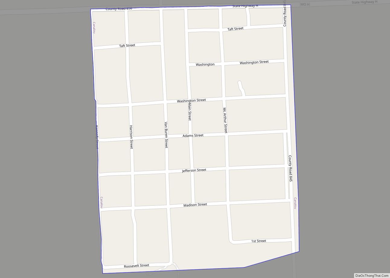
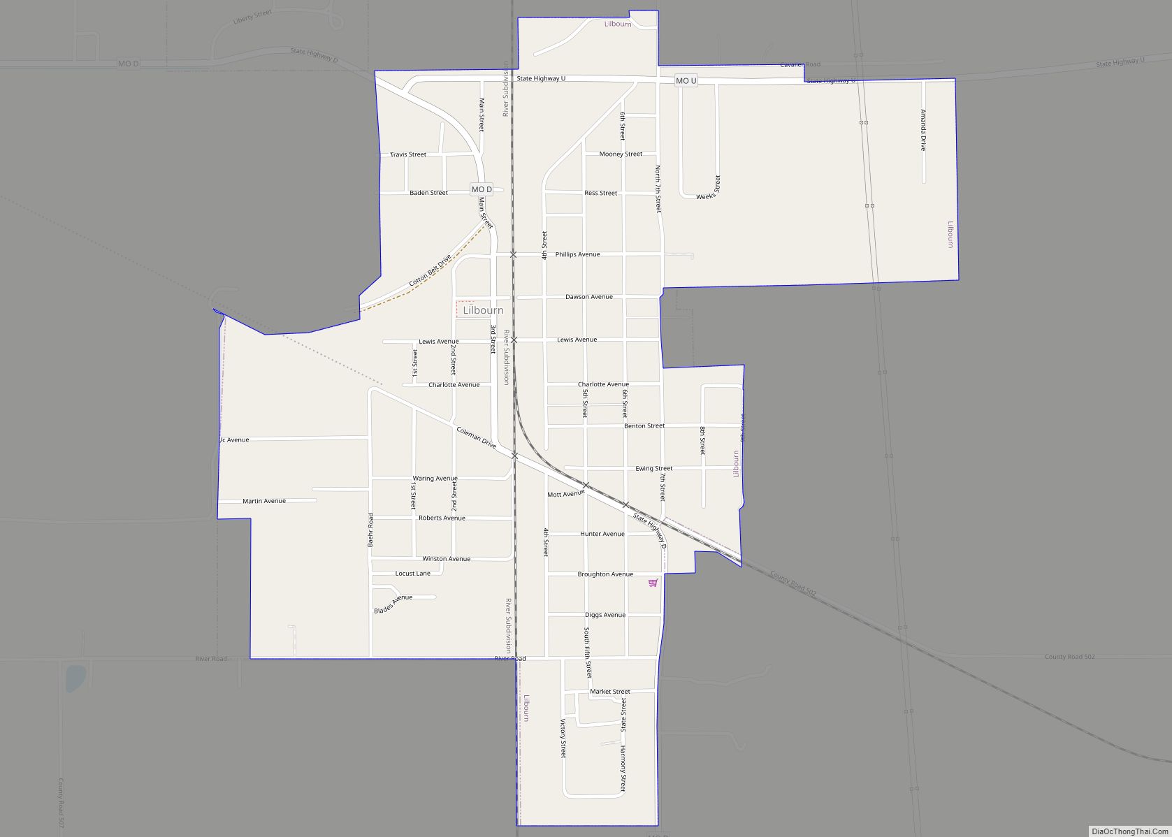
Parma Road Map
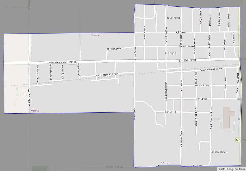
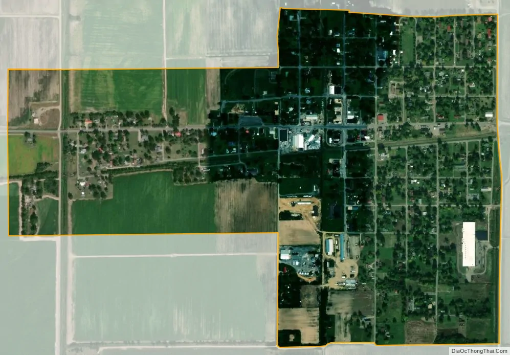
Parma city Satellite Map
Geography
Parma is located on Missouri Route 153 one mile south of the Stoddard-New Madrid county line. It is 6.5 miles northwest of Malden and 15 miles west of New Madrid.
According to the United States Census Bureau, the city has a total area of 0.69 square miles (1.79 km), all land.
See also
Map of Missouri State and its subdivision:- Adair
- Andrew
- Atchison
- Audrain
- Barry
- Barton
- Bates
- Benton
- Bollinger
- Boone
- Buchanan
- Butler
- Caldwell
- Callaway
- Camden
- Cape Girardeau
- Carroll
- Carter
- Cass
- Cedar
- Chariton
- Christian
- Clark
- Clay
- Clinton
- Cole
- Cooper
- Crawford
- Dade
- Dallas
- Daviess
- De Kalb
- Dent
- Douglas
- Dunklin
- Franklin
- Gasconade
- Gentry
- Greene
- Grundy
- Harrison
- Henry
- Hickory
- Holt
- Howard
- Howell
- Iron
- Jackson
- Jasper
- Jefferson
- Johnson
- Knox
- Laclede
- Lafayette
- Lawrence
- Lewis
- Lincoln
- Linn
- Livingston
- Macon
- Madison
- Maries
- Marion
- McDonald
- Mercer
- Miller
- Mississippi
- Moniteau
- Monroe
- Montgomery
- Morgan
- New Madrid
- Newton
- Nodaway
- Oregon
- Osage
- Ozark
- Pemiscot
- Perry
- Pettis
- Phelps
- Pike
- Platte
- Polk
- Pulaski
- Putnam
- Ralls
- Randolph
- Ray
- Reynolds
- Ripley
- Saint Charles
- Saint Clair
- Saint Francois
- Saint Louis
- Sainte Genevieve
- Saline
- Schuyler
- Scotland
- Scott
- Shannon
- Shelby
- Stoddard
- Stone
- Sullivan
- Taney
- Texas
- Vernon
- Warren
- Washington
- Wayne
- Webster
- Worth
- Wright
- Alabama
- Alaska
- Arizona
- Arkansas
- California
- Colorado
- Connecticut
- Delaware
- District of Columbia
- Florida
- Georgia
- Hawaii
- Idaho
- Illinois
- Indiana
- Iowa
- Kansas
- Kentucky
- Louisiana
- Maine
- Maryland
- Massachusetts
- Michigan
- Minnesota
- Mississippi
- Missouri
- Montana
- Nebraska
- Nevada
- New Hampshire
- New Jersey
- New Mexico
- New York
- North Carolina
- North Dakota
- Ohio
- Oklahoma
- Oregon
- Pennsylvania
- Rhode Island
- South Carolina
- South Dakota
- Tennessee
- Texas
- Utah
- Vermont
- Virginia
- Washington
- West Virginia
- Wisconsin
- Wyoming