Platte City is a city in and the county seat of Platte County, Missouri within the United States. The population was 4,691 at the 2010 census. The city is part of the Kansas City metropolitan area.
| Name: | Platte City city |
|---|---|
| LSAD Code: | 25 |
| LSAD Description: | city (suffix) |
| State: | Missouri |
| County: | Platte County |
| Elevation: | 968 ft (295 m) |
| Total Area: | 3.99 sq mi (10.33 km²) |
| Land Area: | 3.97 sq mi (10.27 km²) |
| Water Area: | 0.03 sq mi (0.06 km²) |
| Total Population: | 4,784 |
| Population Density: | 1,206.25/sq mi (465.79/km²) |
| ZIP code: | 64079 |
| Area code: | 816 |
| FIPS code: | 2958178 |
| GNISfeature ID: | 2396226 |
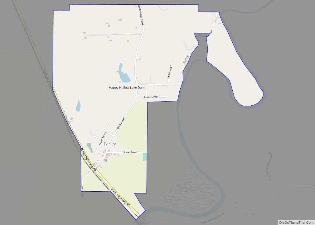
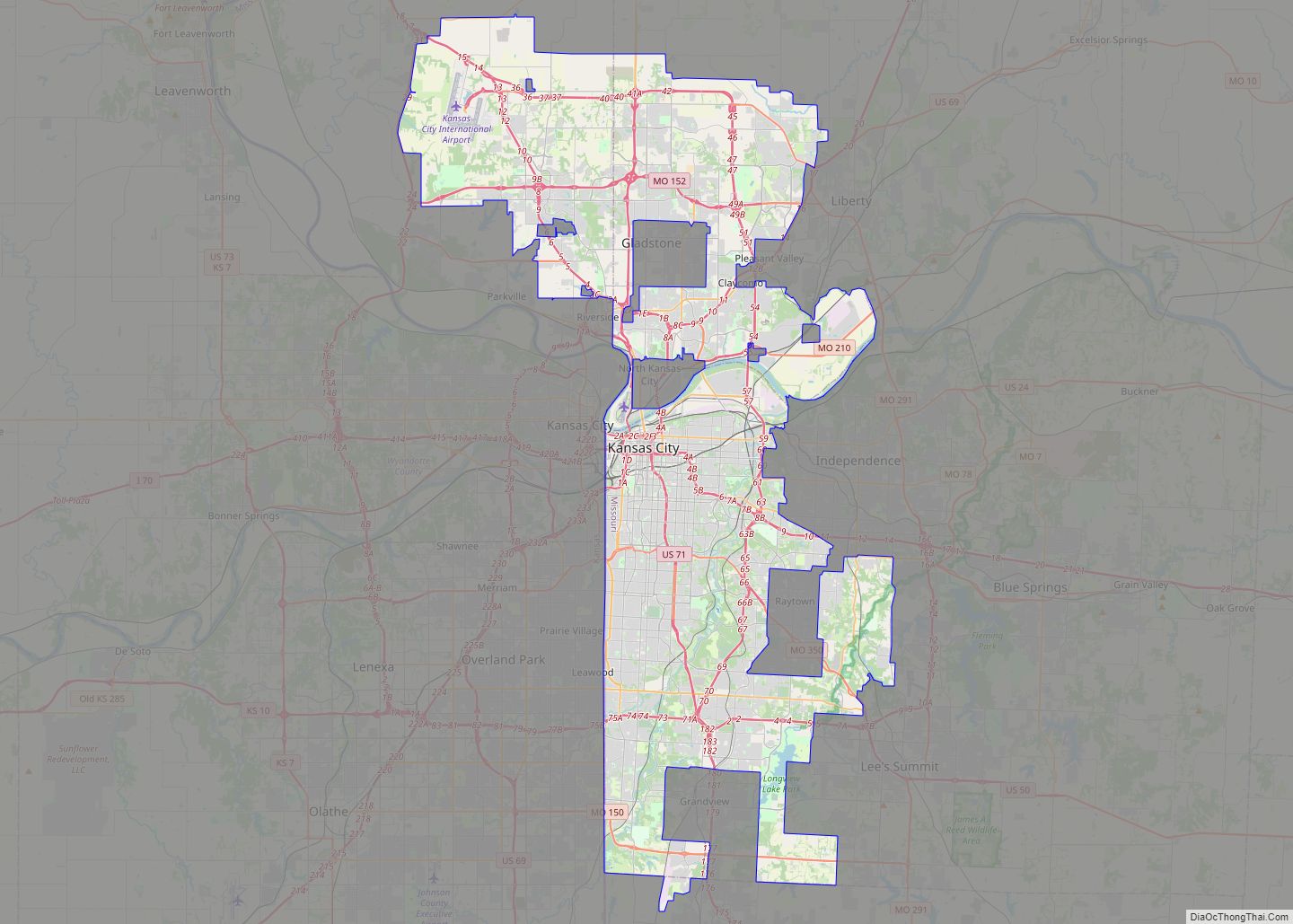
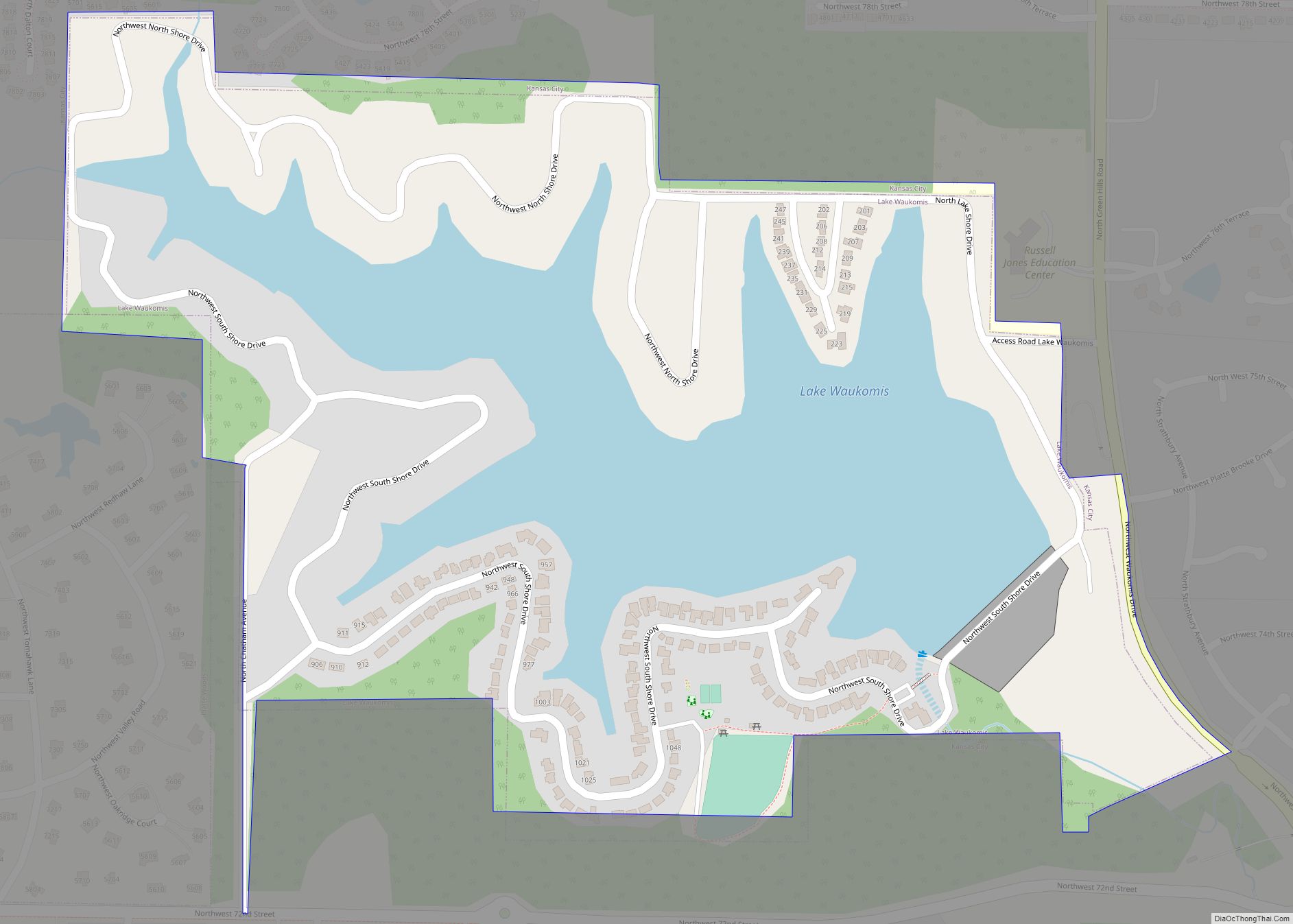
Online Interactive Map
Click on ![]() to view map in "full screen" mode.
to view map in "full screen" mode.
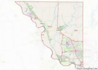
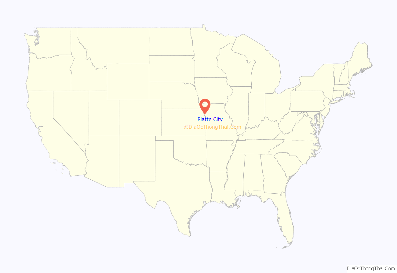
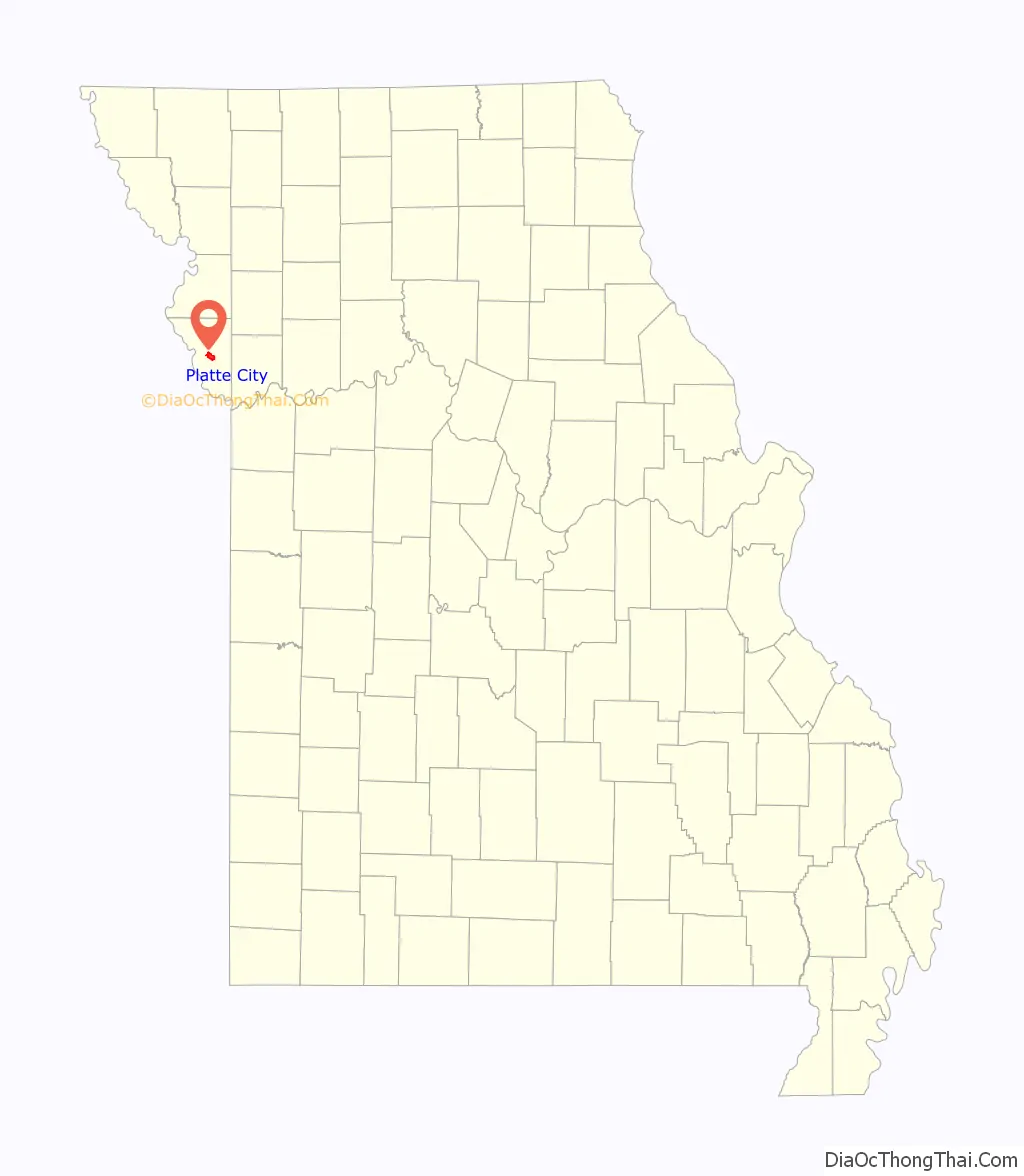
Platte City location map. Where is Platte City city?
History
Platte City was founded by Zadock “Zed” Martin and was incorporated as a city in September 1843.
On December 16, 1861, Colonel W. James Morgan’s Union Squad razed Platte City, including the courthouse.
The Platte County Fair held annually just outside Platte City began in 1863 and is the oldest continuously operating fair west of the Mississippi River.
On April 3, 1882, Jesse James planned a robbery of the Platte City bank, but it was never carried out due to his assassination by Robert Ford on the morning of the raid.
On July 19, 1933 Bonnie and Clyde were ambushed by, and engaged in, a shootout with local authorities just south of Platte City at the Red Crown Tourist Court.
The Frederick Krause Mansion and Platte County Courthouse are listed on the National Register of Historic Places.
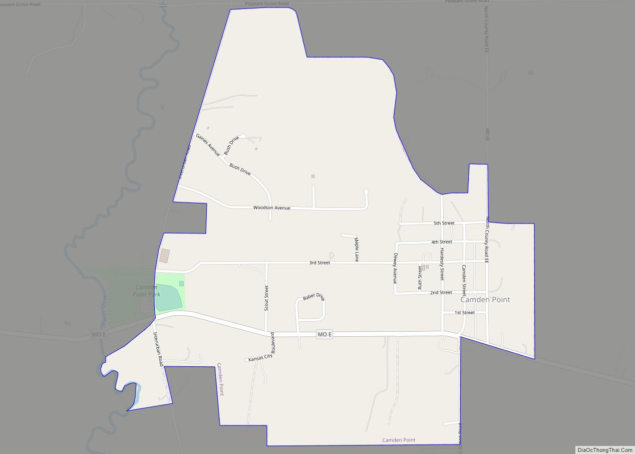
Platte City Road Map

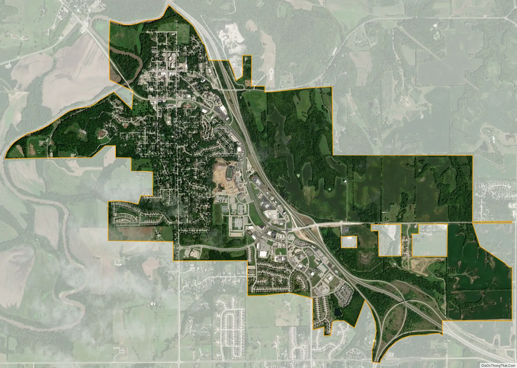
Platte City city Satellite Map
Geography
Platte City is located along the south side of the Platte River and the Platte Falls Conservation Area lies to the northeast along the flood plain. I-29 passes the east side of the city and Missouri Route 92 serves the city. Tracy lies on the north side of the river flood plain.
According to the United States Census Bureau, the city has a total area of 3.65 square miles (9.45 km), of which 3.61 square miles (9.35 km) is land and 0.04 square miles (0.10 km) is water.
See also
Map of Missouri State and its subdivision:- Adair
- Andrew
- Atchison
- Audrain
- Barry
- Barton
- Bates
- Benton
- Bollinger
- Boone
- Buchanan
- Butler
- Caldwell
- Callaway
- Camden
- Cape Girardeau
- Carroll
- Carter
- Cass
- Cedar
- Chariton
- Christian
- Clark
- Clay
- Clinton
- Cole
- Cooper
- Crawford
- Dade
- Dallas
- Daviess
- De Kalb
- Dent
- Douglas
- Dunklin
- Franklin
- Gasconade
- Gentry
- Greene
- Grundy
- Harrison
- Henry
- Hickory
- Holt
- Howard
- Howell
- Iron
- Jackson
- Jasper
- Jefferson
- Johnson
- Knox
- Laclede
- Lafayette
- Lawrence
- Lewis
- Lincoln
- Linn
- Livingston
- Macon
- Madison
- Maries
- Marion
- McDonald
- Mercer
- Miller
- Mississippi
- Moniteau
- Monroe
- Montgomery
- Morgan
- New Madrid
- Newton
- Nodaway
- Oregon
- Osage
- Ozark
- Pemiscot
- Perry
- Pettis
- Phelps
- Pike
- Platte
- Polk
- Pulaski
- Putnam
- Ralls
- Randolph
- Ray
- Reynolds
- Ripley
- Saint Charles
- Saint Clair
- Saint Francois
- Saint Louis
- Sainte Genevieve
- Saline
- Schuyler
- Scotland
- Scott
- Shannon
- Shelby
- Stoddard
- Stone
- Sullivan
- Taney
- Texas
- Vernon
- Warren
- Washington
- Wayne
- Webster
- Worth
- Wright
- Alabama
- Alaska
- Arizona
- Arkansas
- California
- Colorado
- Connecticut
- Delaware
- District of Columbia
- Florida
- Georgia
- Hawaii
- Idaho
- Illinois
- Indiana
- Iowa
- Kansas
- Kentucky
- Louisiana
- Maine
- Maryland
- Massachusetts
- Michigan
- Minnesota
- Mississippi
- Missouri
- Montana
- Nebraska
- Nevada
- New Hampshire
- New Jersey
- New Mexico
- New York
- North Carolina
- North Dakota
- Ohio
- Oklahoma
- Oregon
- Pennsylvania
- Rhode Island
- South Carolina
- South Dakota
- Tennessee
- Texas
- Utah
- Vermont
- Virginia
- Washington
- West Virginia
- Wisconsin
- Wyoming