Portageville is a city in New Madrid and Pemiscot counties in the U.S. state of Missouri. The population was 2,942 according to the 2020 Census.
| Name: | Portageville city |
|---|---|
| LSAD Code: | 25 |
| LSAD Description: | city (suffix) |
| State: | Missouri |
| County: | New Madrid County, Pemiscot County |
| Elevation: | 282 ft (86 m) |
| Total Area: | 2.04 sq mi (5.28 km²) |
| Land Area: | 2.04 sq mi (5.28 km²) |
| Water Area: | 0.00 sq mi (0.00 km²) |
| Total Population: | 2,942 |
| Population Density: | 1,442.16/sq mi (556.73/km²) |
| ZIP code: | 63873 |
| Area code: | 573 |
| FIPS code: | 2959186 |
| GNISfeature ID: | 2396256 |
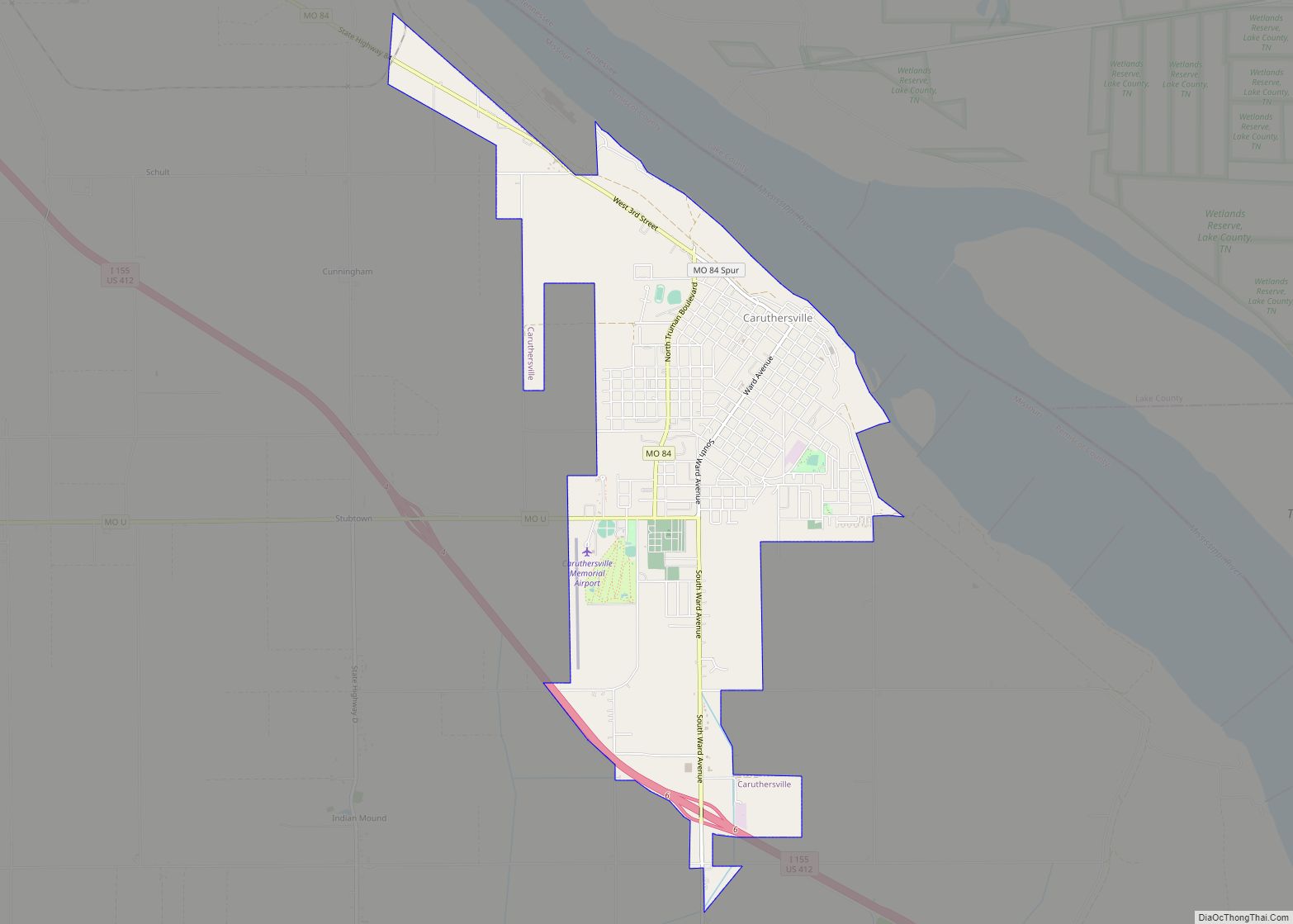
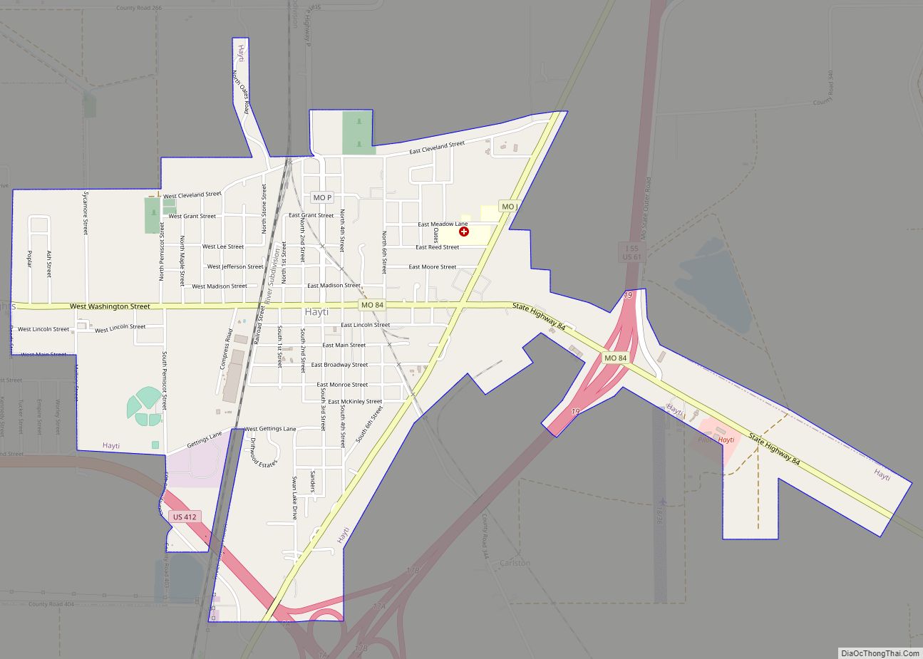
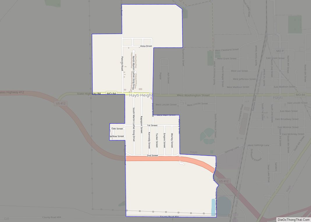
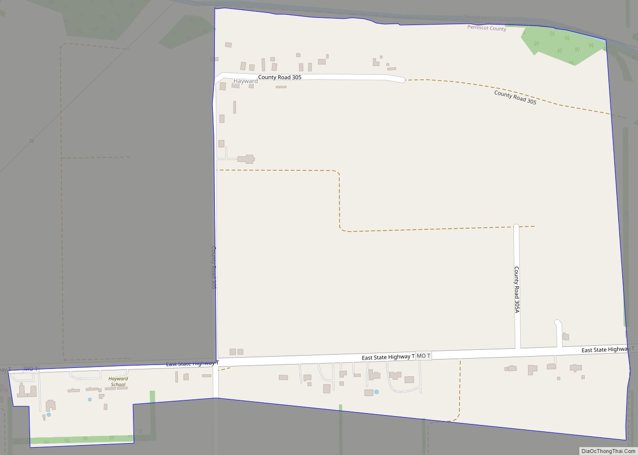
Online Interactive Map
Click on ![]() to view map in "full screen" mode.
to view map in "full screen" mode.
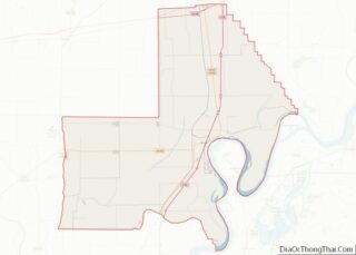
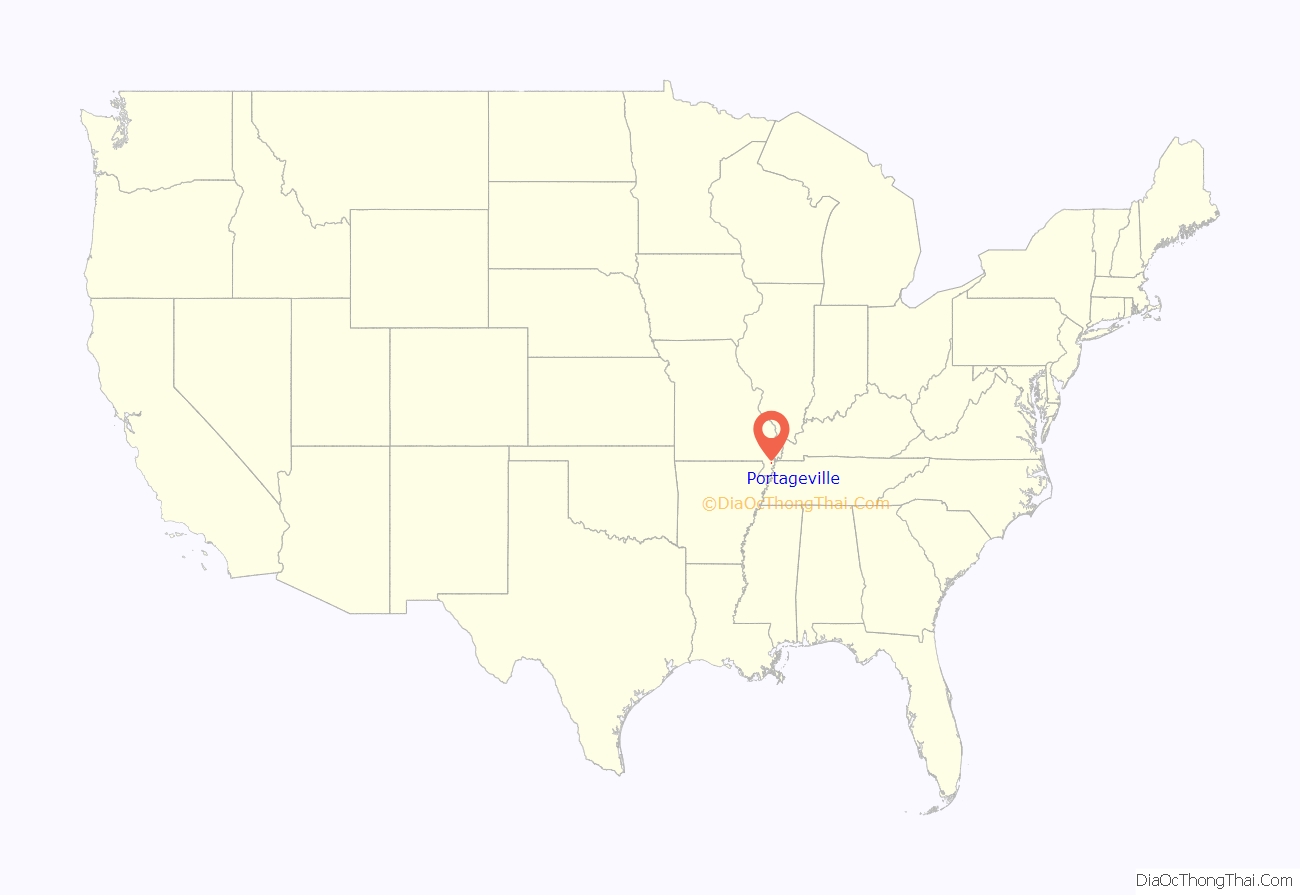
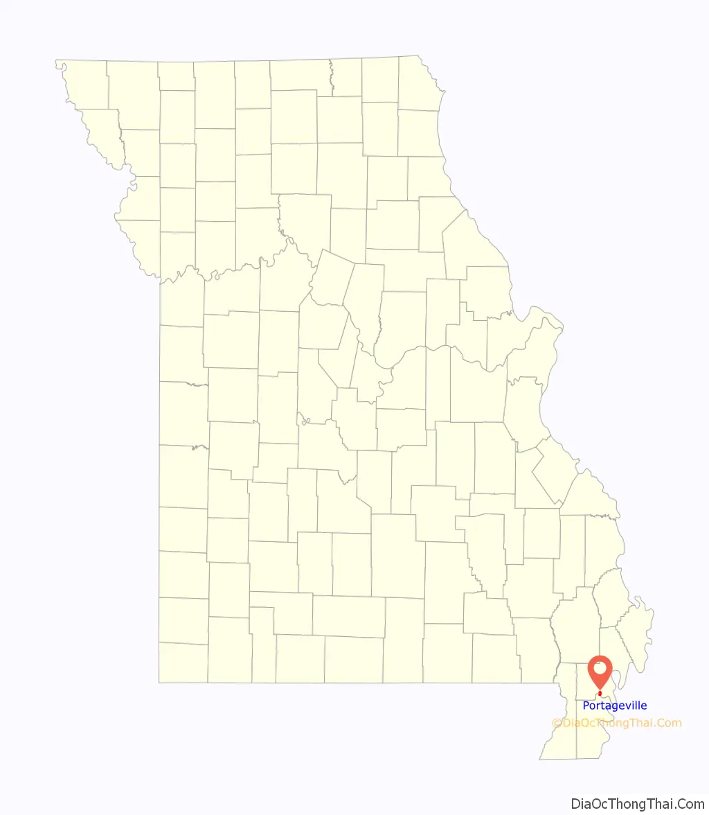
Portageville location map. Where is Portageville city?
History
A post office called Portageville has been in operation since 1873. The community takes its name from nearby Portage Bayou.
From 1935 to 1936, Portageville was the home of the Portageville Pirates, part of the Kitty League. “In 1935, the Portageville Pirates are awarded the second-half title after the Jackson Generals and Union City Greyhounds are disqualified for having too many class players on their rosters.” In 1936, the Pirates relocated to Owensboro, Kentucky.
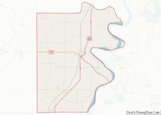
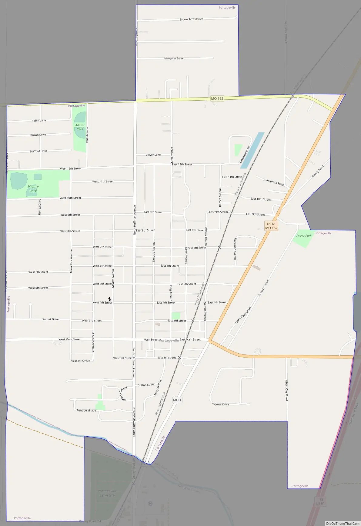
Portageville Road Map
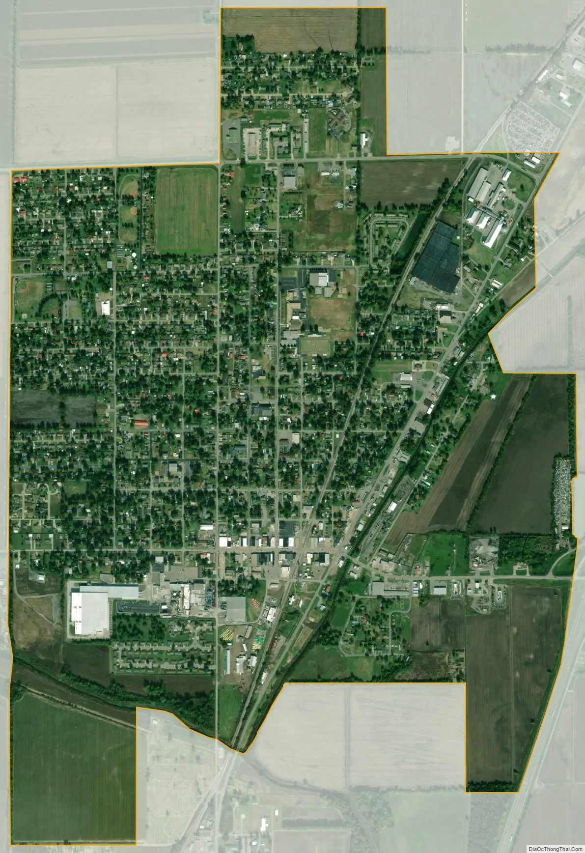
Portageville city Satellite Map
Geography
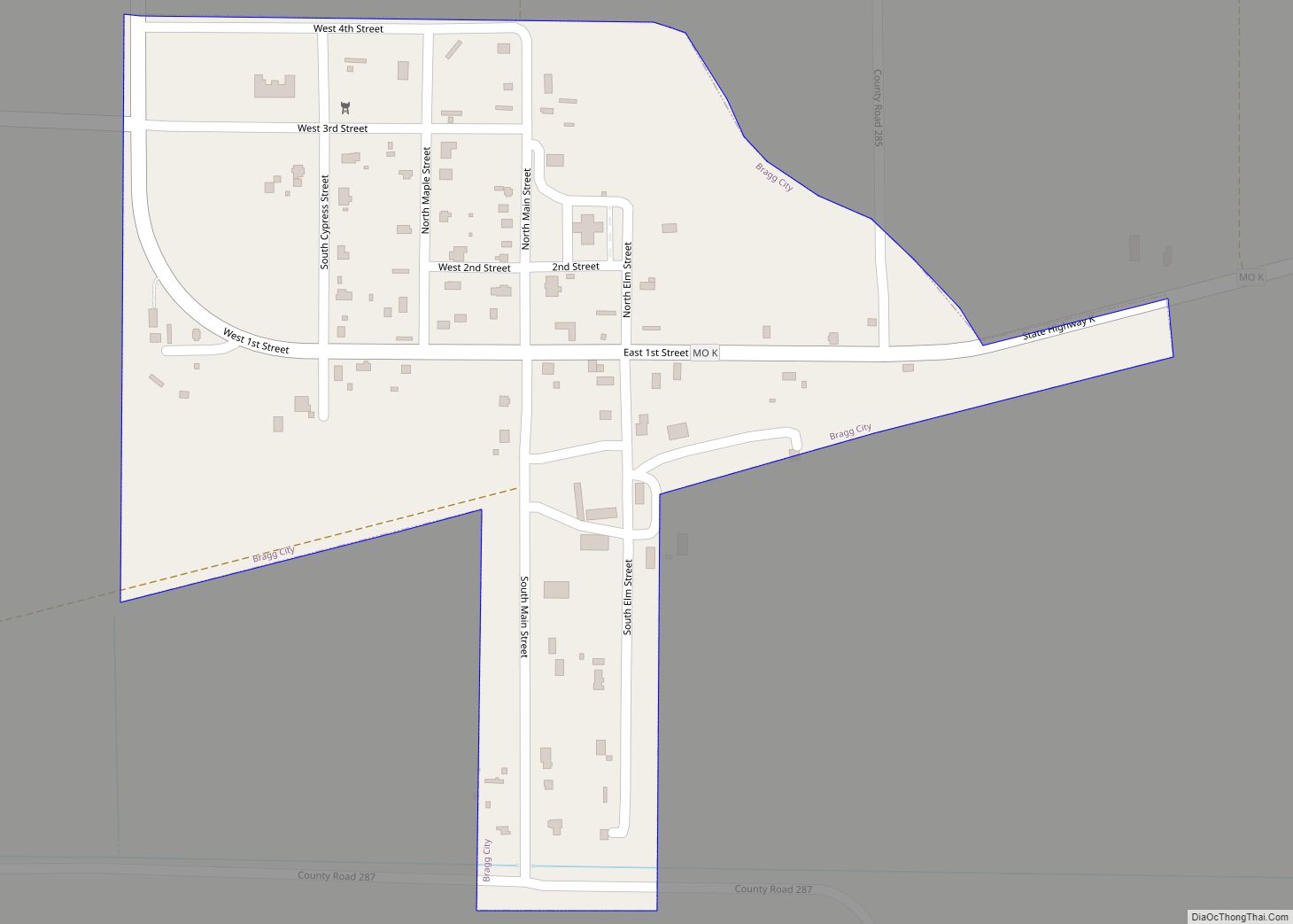
Portageville is located primarily in New Madrid County. It lies along U.S. Route 61 and Missouri Route 162, which converge briefly as they pass through the city. Interstate 55 passes through the eastern part of the city. Portageville is about 5 miles (8.0 km) west of the Mississippi River.
According to the United States Census Bureau, the city has a total area of 2.04 square miles (5.28 km), all land.
Climate
The climate in this area is characterized by hot, humid summers and generally mild to cool winters. According to the Köppen Climate Classification system, Portageville has a humid subtropical climate, abbreviated “Cfa” on climate maps.
See also
Map of Missouri State and its subdivision:- Adair
- Andrew
- Atchison
- Audrain
- Barry
- Barton
- Bates
- Benton
- Bollinger
- Boone
- Buchanan
- Butler
- Caldwell
- Callaway
- Camden
- Cape Girardeau
- Carroll
- Carter
- Cass
- Cedar
- Chariton
- Christian
- Clark
- Clay
- Clinton
- Cole
- Cooper
- Crawford
- Dade
- Dallas
- Daviess
- De Kalb
- Dent
- Douglas
- Dunklin
- Franklin
- Gasconade
- Gentry
- Greene
- Grundy
- Harrison
- Henry
- Hickory
- Holt
- Howard
- Howell
- Iron
- Jackson
- Jasper
- Jefferson
- Johnson
- Knox
- Laclede
- Lafayette
- Lawrence
- Lewis
- Lincoln
- Linn
- Livingston
- Macon
- Madison
- Maries
- Marion
- McDonald
- Mercer
- Miller
- Mississippi
- Moniteau
- Monroe
- Montgomery
- Morgan
- New Madrid
- Newton
- Nodaway
- Oregon
- Osage
- Ozark
- Pemiscot
- Perry
- Pettis
- Phelps
- Pike
- Platte
- Polk
- Pulaski
- Putnam
- Ralls
- Randolph
- Ray
- Reynolds
- Ripley
- Saint Charles
- Saint Clair
- Saint Francois
- Saint Louis
- Sainte Genevieve
- Saline
- Schuyler
- Scotland
- Scott
- Shannon
- Shelby
- Stoddard
- Stone
- Sullivan
- Taney
- Texas
- Vernon
- Warren
- Washington
- Wayne
- Webster
- Worth
- Wright
- Alabama
- Alaska
- Arizona
- Arkansas
- California
- Colorado
- Connecticut
- Delaware
- District of Columbia
- Florida
- Georgia
- Hawaii
- Idaho
- Illinois
- Indiana
- Iowa
- Kansas
- Kentucky
- Louisiana
- Maine
- Maryland
- Massachusetts
- Michigan
- Minnesota
- Mississippi
- Missouri
- Montana
- Nebraska
- Nevada
- New Hampshire
- New Jersey
- New Mexico
- New York
- North Carolina
- North Dakota
- Ohio
- Oklahoma
- Oregon
- Pennsylvania
- Rhode Island
- South Carolina
- South Dakota
- Tennessee
- Texas
- Utah
- Vermont
- Virginia
- Washington
- West Virginia
- Wisconsin
- Wyoming