Queen City is a city in Schuyler County, Missouri, United States. As of the 2020 census, its population was 562. It is part of the Kirksville Micropolitan Statistical Area.
| Name: | Queen City city |
|---|---|
| LSAD Code: | 25 |
| LSAD Description: | city (suffix) |
| State: | Missouri |
| County: | Schuyler County |
| Elevation: | 997 ft (304 m) |
| Total Area: | 1.03 sq mi (2.67 km²) |
| Land Area: | 1.03 sq mi (2.67 km²) |
| Water Area: | 0.00 sq mi (0.00 km²) |
| Total Population: | 562 |
| Population Density: | 546.16/sq mi (210.86/km²) |
| ZIP code: | 63561 |
| Area code: | 660 |
| FIPS code: | 2960356 |
| GNISfeature ID: | 2396298 |
Online Interactive Map
Click on ![]() to view map in "full screen" mode.
to view map in "full screen" mode.
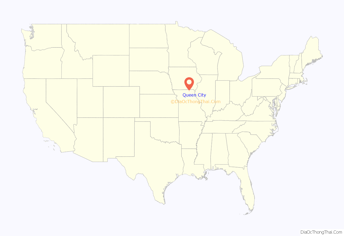
Queen City location map. Where is Queen City city?
History
Queen City was laid out in May, 1867 by Doctor George W. Wilson and consisted of a town square surrounded by fifteen other blocks. He chose the name in the hope the town would become “the Queen of the prairies.” Dr. Wilson also constructed the first home in the new town, while Henry Bartlett is responsible for building the towns’s first hotel. By 1888 Queen City offered a considerable business district—five general stores, two grocers, two hardware stores, two hotels, jewelry store, lumber yard, photography gallery, music store, and barber shop were just some of the businesses serving the community and surrounding farms. Being located along the railroad, it provided a fine shipping point for large numbers of railroad ties and other lumber products harvested from heavily wooded areas along the Chariton River several miles to the west. Grain, livestock and some quantities of wool were also shipped by rail from the town. Queen City’s first newspaper The Transcript was established in November, 1887 by D.G. Swan.
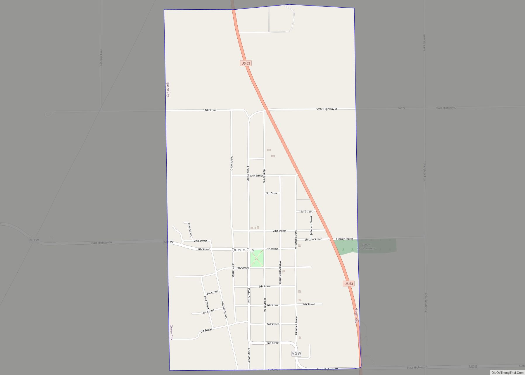
Queen City Road Map
Queen City city Satellite Map
Geography
According to the United States Census Bureau, the city has a total area of 1.03 square miles (2.67 km), all land.
See also
Map of Missouri State and its subdivision:- Adair
- Andrew
- Atchison
- Audrain
- Barry
- Barton
- Bates
- Benton
- Bollinger
- Boone
- Buchanan
- Butler
- Caldwell
- Callaway
- Camden
- Cape Girardeau
- Carroll
- Carter
- Cass
- Cedar
- Chariton
- Christian
- Clark
- Clay
- Clinton
- Cole
- Cooper
- Crawford
- Dade
- Dallas
- Daviess
- De Kalb
- Dent
- Douglas
- Dunklin
- Franklin
- Gasconade
- Gentry
- Greene
- Grundy
- Harrison
- Henry
- Hickory
- Holt
- Howard
- Howell
- Iron
- Jackson
- Jasper
- Jefferson
- Johnson
- Knox
- Laclede
- Lafayette
- Lawrence
- Lewis
- Lincoln
- Linn
- Livingston
- Macon
- Madison
- Maries
- Marion
- McDonald
- Mercer
- Miller
- Mississippi
- Moniteau
- Monroe
- Montgomery
- Morgan
- New Madrid
- Newton
- Nodaway
- Oregon
- Osage
- Ozark
- Pemiscot
- Perry
- Pettis
- Phelps
- Pike
- Platte
- Polk
- Pulaski
- Putnam
- Ralls
- Randolph
- Ray
- Reynolds
- Ripley
- Saint Charles
- Saint Clair
- Saint Francois
- Saint Louis
- Sainte Genevieve
- Saline
- Schuyler
- Scotland
- Scott
- Shannon
- Shelby
- Stoddard
- Stone
- Sullivan
- Taney
- Texas
- Vernon
- Warren
- Washington
- Wayne
- Webster
- Worth
- Wright
- Alabama
- Alaska
- Arizona
- Arkansas
- California
- Colorado
- Connecticut
- Delaware
- District of Columbia
- Florida
- Georgia
- Hawaii
- Idaho
- Illinois
- Indiana
- Iowa
- Kansas
- Kentucky
- Louisiana
- Maine
- Maryland
- Massachusetts
- Michigan
- Minnesota
- Mississippi
- Missouri
- Montana
- Nebraska
- Nevada
- New Hampshire
- New Jersey
- New Mexico
- New York
- North Carolina
- North Dakota
- Ohio
- Oklahoma
- Oregon
- Pennsylvania
- Rhode Island
- South Carolina
- South Dakota
- Tennessee
- Texas
- Utah
- Vermont
- Virginia
- Washington
- West Virginia
- Wisconsin
- Wyoming
