Riverside is a city in Platte County, Missouri and is part of the Kansas City metropolitan area within the United States. The population was 2,937 at the 2010 census.
| Name: | Riverside city |
|---|---|
| LSAD Code: | 25 |
| LSAD Description: | city (suffix) |
| State: | Missouri |
| County: | Platte County |
| Elevation: | 751 ft (229 m) |
| Total Area: | 5.80 sq mi (15.03 km²) |
| Land Area: | 5.53 sq mi (14.32 km²) |
| Water Area: | 0.27 sq mi (0.71 km²) |
| Total Population: | 4,013 |
| Population Density: | 726.07/sq mi (280.32/km²) |
| ZIP code: | 64150, 64151, 64168 |
| Area code: | 816 |
| FIPS code: | 2962156 |
| GNISfeature ID: | 2396385 |
Online Interactive Map
Click on ![]() to view map in "full screen" mode.
to view map in "full screen" mode.
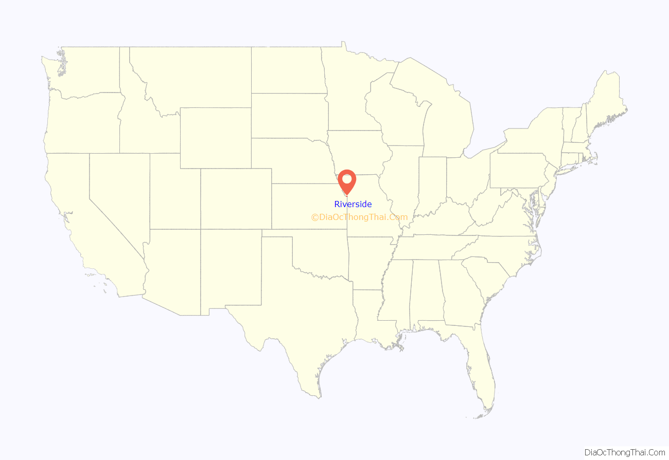
Riverside location map. Where is Riverside city?
History
Riverside lies on the edge of the Missouri River and was formally incorporated in 1951.
For many years, the town was known for its Riverside Race Track. The Riverside Park Jockey Club operated from 1928 to 1937 and was popularly called “Pendergast Track” after its patron, big city boss Tom Pendergast (although Pendergast was not officially on its organization papers). The horse racing track was on the site of a former dog racing track. The track operated under a questionable legal basis. The site was supplanted by an automobile race track, which closed in the 1990s.
A legal gambling establishment on the river now is the $106 million casino run by Argosy Gaming Company.
One of the landmarks in Riverside is the Riverside Red X store. It was founded as a gas station in 1948 by Edward Young. Over time, Young expanded the store into selling many different product lines. Young and local business owners Ferd Filger and Dr. Thomas M. Eagle led the incorporation of Riverside in 1951, after both Parkville and Kansas City expressed interest in annexing the area. As of 2015, the store was still owned by the Young family and was well known around the Kansas City area for selling cheap beer, wine, cigarettes and gasoline.
The Renner Village Archeological Site was listed on the National Register of Historic Places in 1969.
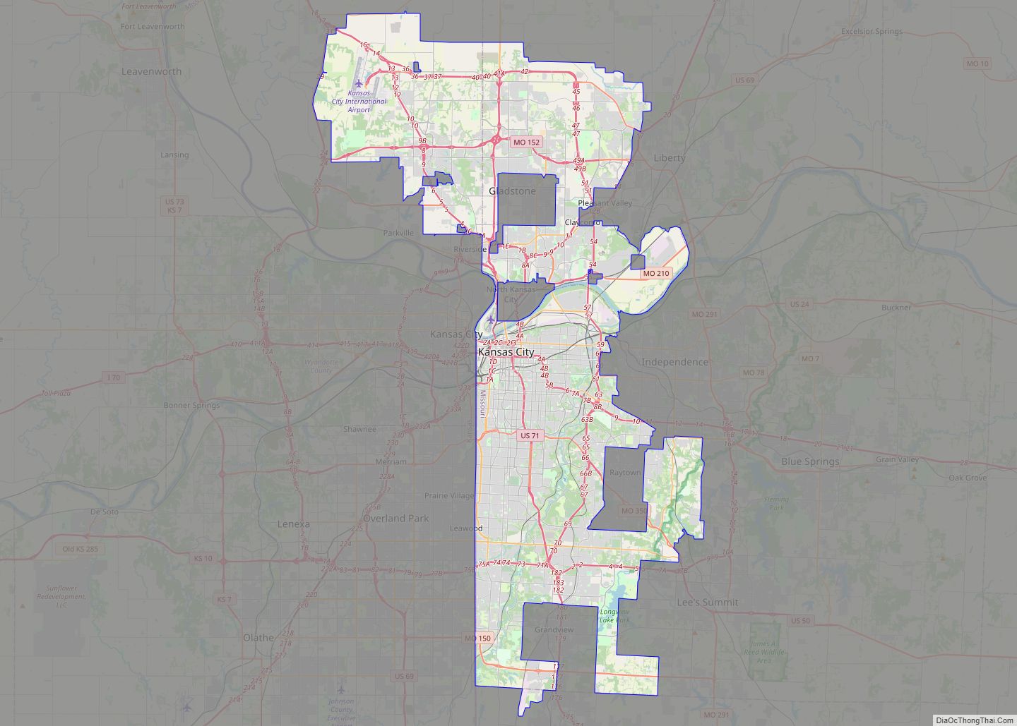
Riverside Road Map
Riverside city Satellite Map
Geography
According to the United States Census Bureau, the city has a total area of 5.79 square miles (15.00 km), of which 5.51 square miles (14.27 km) is land and 0.28 square miles (0.73 km) is water.
See also
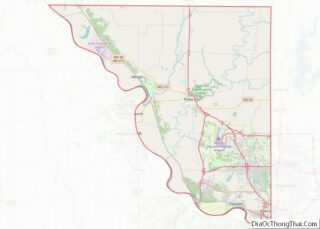
Map of Missouri State and its subdivision:- Adair
- Andrew
- Atchison
- Audrain
- Barry
- Barton
- Bates
- Benton
- Bollinger
- Boone
- Buchanan
- Butler
- Caldwell
- Callaway
- Camden
- Cape Girardeau
- Carroll
- Carter
- Cass
- Cedar
- Chariton
- Christian
- Clark
- Clay
- Clinton
- Cole
- Cooper
- Crawford
- Dade
- Dallas
- Daviess
- De Kalb
- Dent
- Douglas
- Dunklin
- Franklin
- Gasconade
- Gentry
- Greene
- Grundy
- Harrison
- Henry
- Hickory
- Holt
- Howard
- Howell
- Iron
- Jackson
- Jasper
- Jefferson
- Johnson
- Knox
- Laclede
- Lafayette
- Lawrence
- Lewis
- Lincoln
- Linn
- Livingston
- Macon
- Madison
- Maries
- Marion
- McDonald
- Mercer
- Miller
- Mississippi
- Moniteau
- Monroe
- Montgomery
- Morgan
- New Madrid
- Newton
- Nodaway
- Oregon
- Osage
- Ozark
- Pemiscot
- Perry
- Pettis
- Phelps
- Pike
- Platte
- Polk
- Pulaski
- Putnam
- Ralls
- Randolph
- Ray
- Reynolds
- Ripley
- Saint Charles
- Saint Clair
- Saint Francois
- Saint Louis
- Sainte Genevieve
- Saline
- Schuyler
- Scotland
- Scott
- Shannon
- Shelby
- Stoddard
- Stone
- Sullivan
- Taney
- Texas
- Vernon
- Warren
- Washington
- Wayne
- Webster
- Worth
- Wright
- Alabama
- Alaska
- Arizona
- Arkansas
- California
- Colorado
- Connecticut
- Delaware
- District of Columbia
- Florida
- Georgia
- Hawaii
- Idaho
- Illinois
- Indiana
- Iowa
- Kansas
- Kentucky
- Louisiana
- Maine
- Maryland
- Massachusetts
- Michigan
- Minnesota
- Mississippi
- Missouri
- Montana
- Nebraska
- Nevada
- New Hampshire
- New Jersey
- New Mexico
- New York
- North Carolina
- North Dakota
- Ohio
- Oklahoma
- Oregon
- Pennsylvania
- Rhode Island
- South Carolina
- South Dakota
- Tennessee
- Texas
- Utah
- Vermont
- Virginia
- Washington
- West Virginia
- Wisconsin
- Wyoming
