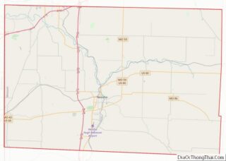
Seneca is a city in western Newton County, Missouri, United States. The population was 2,336 at the 2010 census. Located on the southwest border of the state, the city is part of the Joplin, Missouri Metropolitan Statistical Area.
| Name: | Seneca city |
|---|---|
| LSAD Code: | 25 |
| LSAD Description: | city (suffix) |
| State: | Missouri |
| County: | Newton County |
| Elevation: | 948 ft (289 m) |
| Total Area: | 2.56 sq mi (6.63 km²) |
| Land Area: | 2.56 sq mi (6.63 km²) |
| Water Area: | 0.00 sq mi (0.00 km²) |
| Total Population: | 2,230 |
| Population Density: | 871.43/sq mi (336.46/km²) |
| ZIP code: | 64865 |
| Area code: | 417 |
| FIPS code: | 2966674 |
| GNISfeature ID: | 2396574 |
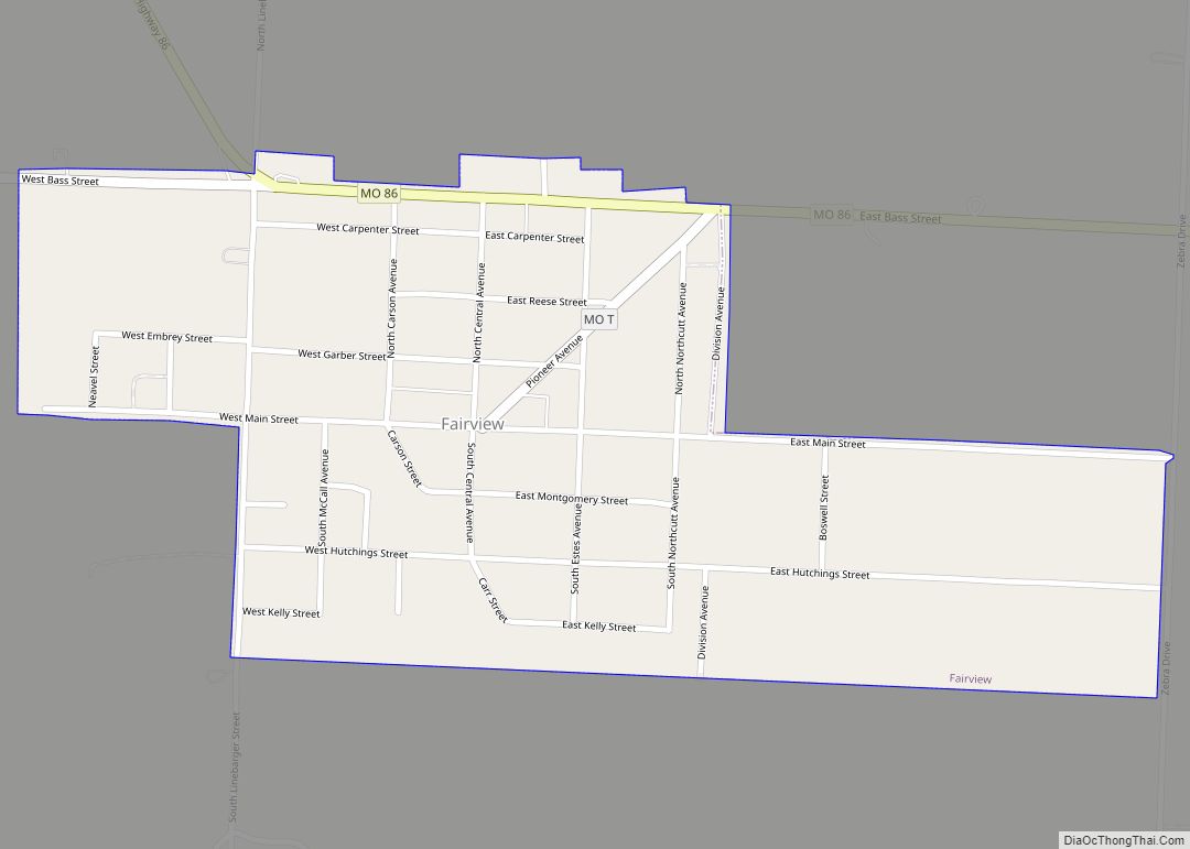
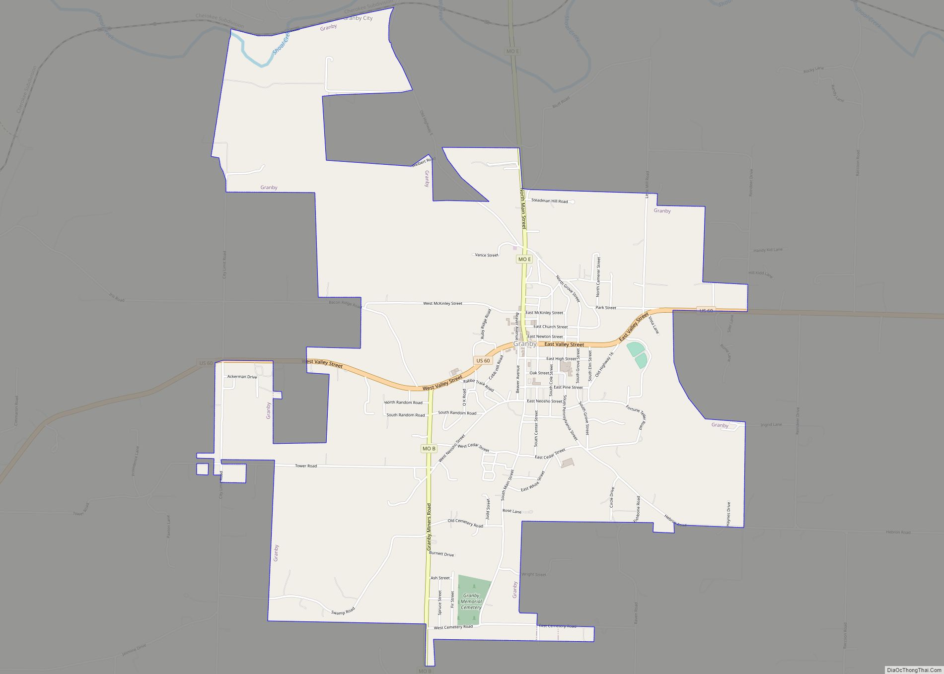
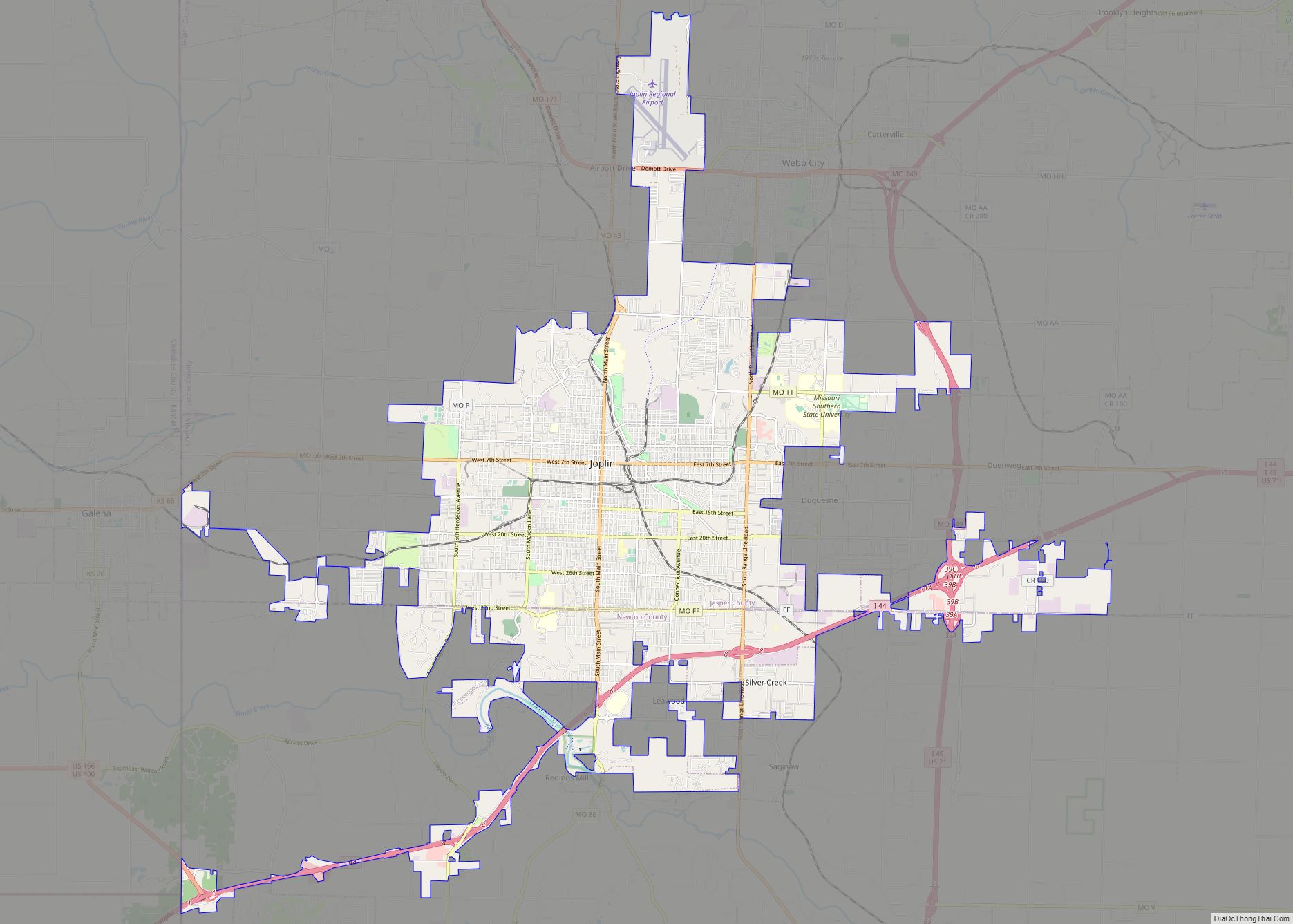
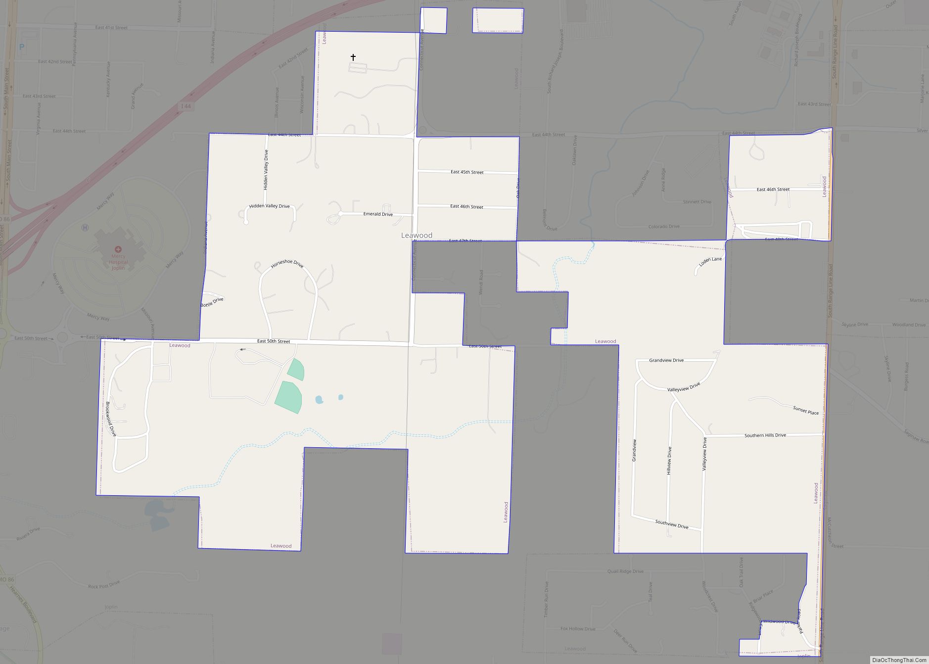
Online Interactive Map
Click on ![]() to view map in "full screen" mode.
to view map in "full screen" mode.
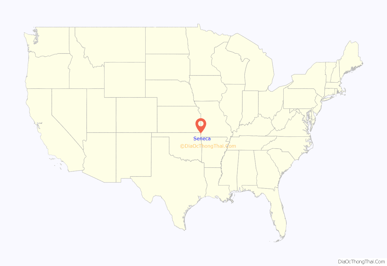
Seneca location map. Where is Seneca city?
History
Seneca was platted by European Americans in 1869, following the American Civil War. The city was named for the Seneca Nation, one of the Six Nations of the Iroquois League, or Haudenosaunee. “This tribe was moved to the Indian Territory not many miles west of town. The word is a corruption of the Dutch word “Sinnekaas,” a term applied to them.” A post office called Seneca has been in operation since 1869.
Several houses in the rural northern Seneca area were destroyed by a tornado on May 10, 2008 in the Mid-May 2008 tornado outbreak sequence in which an EF4 tornado hit the county, killing 13 people. The Early Show broadcast their national weather report from the city on the following Monday morning. On the one year anniversary, Bill Lant, owner of Lant’s Feed and Country Store, unveiled a memorial for the people who died from the tornado. He had donated the plot of land and memorial, and had the memorial built next to his store.
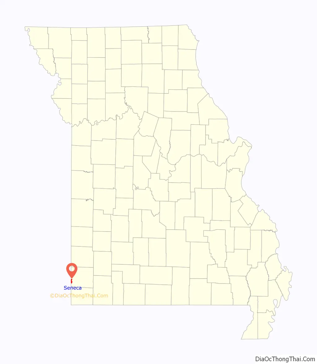
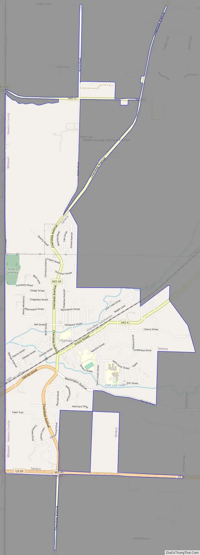
Seneca Road Map
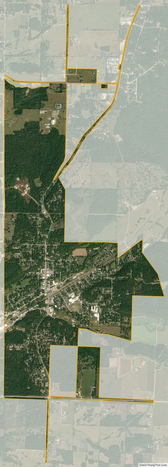
Seneca city Satellite Map
Geography
Seneca is located on Lost Creek, approximately one-quarter mile from the Missouri-Oklahoma state line. Missouri Route 43 passes through the town and U.S. Route 60 passes just south of the location. Neosho is about ten miles east, along Route 60.
According to the United States Census Bureau, the city has a total area of 2.56 square miles (6.63 km), all land.
Seneca is located in Lost Creek Valley, five miles upstream from the Grand Lake of the Cherokees and five miles downstream from the quaint Old Settlers town of Racine. The Frisco Railroad (now Burlington-Northern) runs through this valley.
Prior to 1959, highway traffic to and from Oklahoma largely followed US 60 through Seneca. US 60 joins the more famous U.S. Route 66, approximately 15 miles west of Seneca.
See also
Map of Missouri State and its subdivision:- Adair
- Andrew
- Atchison
- Audrain
- Barry
- Barton
- Bates
- Benton
- Bollinger
- Boone
- Buchanan
- Butler
- Caldwell
- Callaway
- Camden
- Cape Girardeau
- Carroll
- Carter
- Cass
- Cedar
- Chariton
- Christian
- Clark
- Clay
- Clinton
- Cole
- Cooper
- Crawford
- Dade
- Dallas
- Daviess
- De Kalb
- Dent
- Douglas
- Dunklin
- Franklin
- Gasconade
- Gentry
- Greene
- Grundy
- Harrison
- Henry
- Hickory
- Holt
- Howard
- Howell
- Iron
- Jackson
- Jasper
- Jefferson
- Johnson
- Knox
- Laclede
- Lafayette
- Lawrence
- Lewis
- Lincoln
- Linn
- Livingston
- Macon
- Madison
- Maries
- Marion
- McDonald
- Mercer
- Miller
- Mississippi
- Moniteau
- Monroe
- Montgomery
- Morgan
- New Madrid
- Newton
- Nodaway
- Oregon
- Osage
- Ozark
- Pemiscot
- Perry
- Pettis
- Phelps
- Pike
- Platte
- Polk
- Pulaski
- Putnam
- Ralls
- Randolph
- Ray
- Reynolds
- Ripley
- Saint Charles
- Saint Clair
- Saint Francois
- Saint Louis
- Sainte Genevieve
- Saline
- Schuyler
- Scotland
- Scott
- Shannon
- Shelby
- Stoddard
- Stone
- Sullivan
- Taney
- Texas
- Vernon
- Warren
- Washington
- Wayne
- Webster
- Worth
- Wright
- Alabama
- Alaska
- Arizona
- Arkansas
- California
- Colorado
- Connecticut
- Delaware
- District of Columbia
- Florida
- Georgia
- Hawaii
- Idaho
- Illinois
- Indiana
- Iowa
- Kansas
- Kentucky
- Louisiana
- Maine
- Maryland
- Massachusetts
- Michigan
- Minnesota
- Mississippi
- Missouri
- Montana
- Nebraska
- Nevada
- New Hampshire
- New Jersey
- New Mexico
- New York
- North Carolina
- North Dakota
- Ohio
- Oklahoma
- Oregon
- Pennsylvania
- Rhode Island
- South Carolina
- South Dakota
- Tennessee
- Texas
- Utah
- Vermont
- Virginia
- Washington
- West Virginia
- Wisconsin
- Wyoming