South Gorin is a city located in Scotland County, Missouri, United States. As of the 2020 census, its population was 62. The original name of the city was simply “Gorin”, and it was changed. The official name for the post office in South Gorin is still Gorin.
| Name: | South Gorin town |
|---|---|
| LSAD Code: | 43 |
| LSAD Description: | town (suffix) |
| State: | Missouri |
| County: | Scotland County |
| Elevation: | 702 ft (214 m) |
| Total Area: | 0.20 sq mi (0.53 km²) |
| Land Area: | 0.20 sq mi (0.53 km²) |
| Water Area: | 0.00 sq mi (0.00 km²) |
| Total Population: | 62 |
| Population Density: | 305.42/sq mi (118.05/km²) |
| FIPS code: | 2968870 |
| GNISfeature ID: | 2397666 |
Online Interactive Map
Click on ![]() to view map in "full screen" mode.
to view map in "full screen" mode.
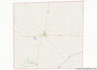
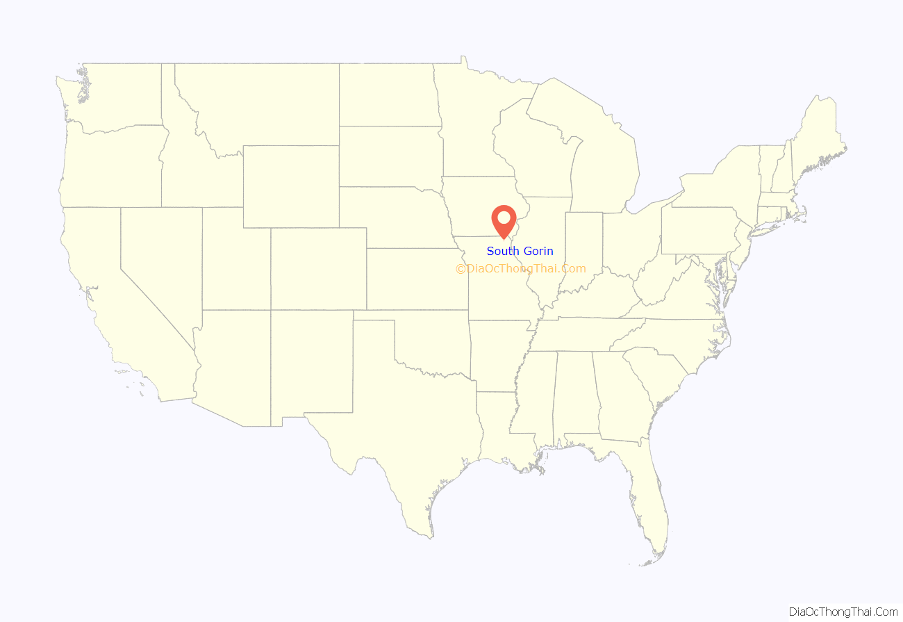
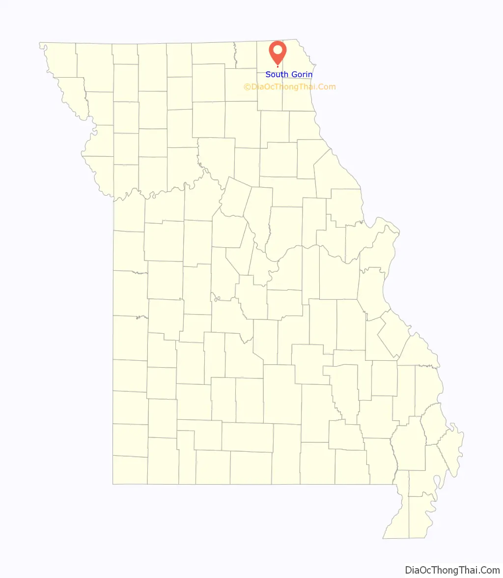
South Gorin location map. Where is South Gorin town?
History
Gorin was founded in 1857 and is named for Reverend M.G. Gorin and Major J.H.M. Gorin, both early settlers to the area. The town primarily owes its growth to the Atchison, Topeka & Santa Fe Railroad, which was finishing construction in the area in the 1880s. A depot was built in the fledgling town, which began to experience steady growth. By 1913 it had grown to be Scotland County’s second-largest town. The business community featured two banks, two hotels, multiple grocery drug, and hardware stores along with restaurants, a farm implement dealer and factory manufacturing wagons and buggies. A weekly newspaper, the Gorin Argus was also published for several years. The Prairie Oil & Gas Company, a division of Standard Oil, built a pumping station for their cross-country pipeline also. A new school building was built in Gorin in 1907 for elementary through tenth grade students and continued in use for many decades before consolidation with the Scotland County R-1 school district.
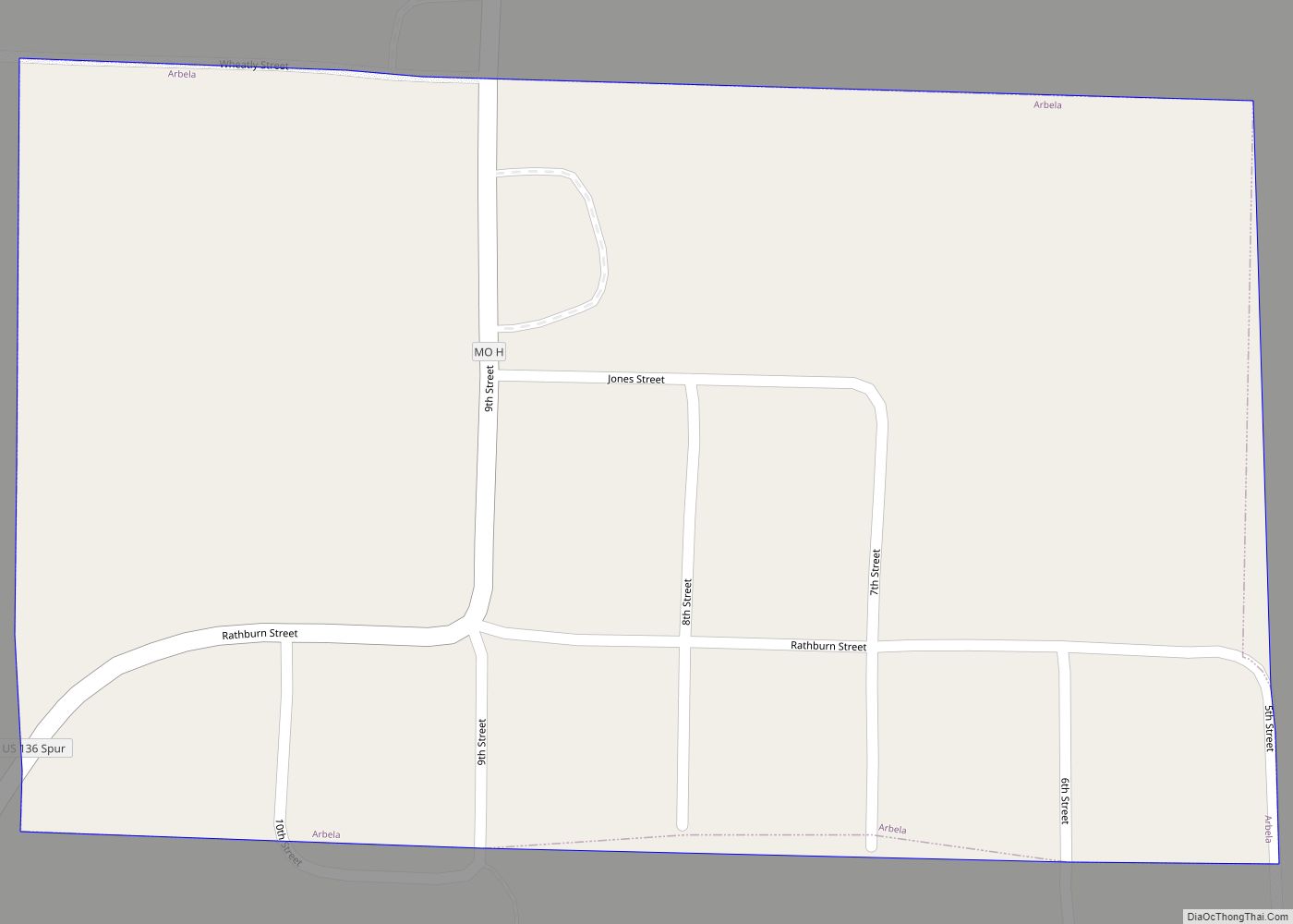
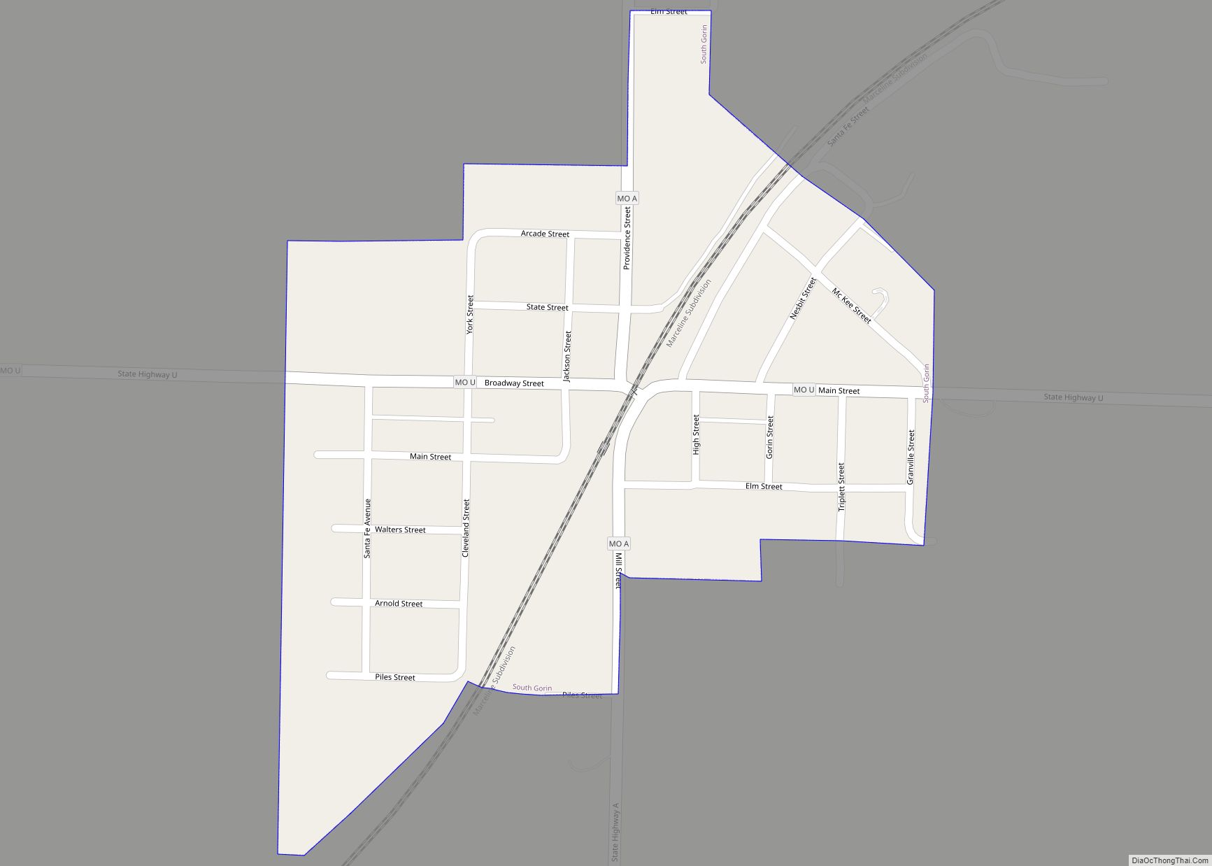
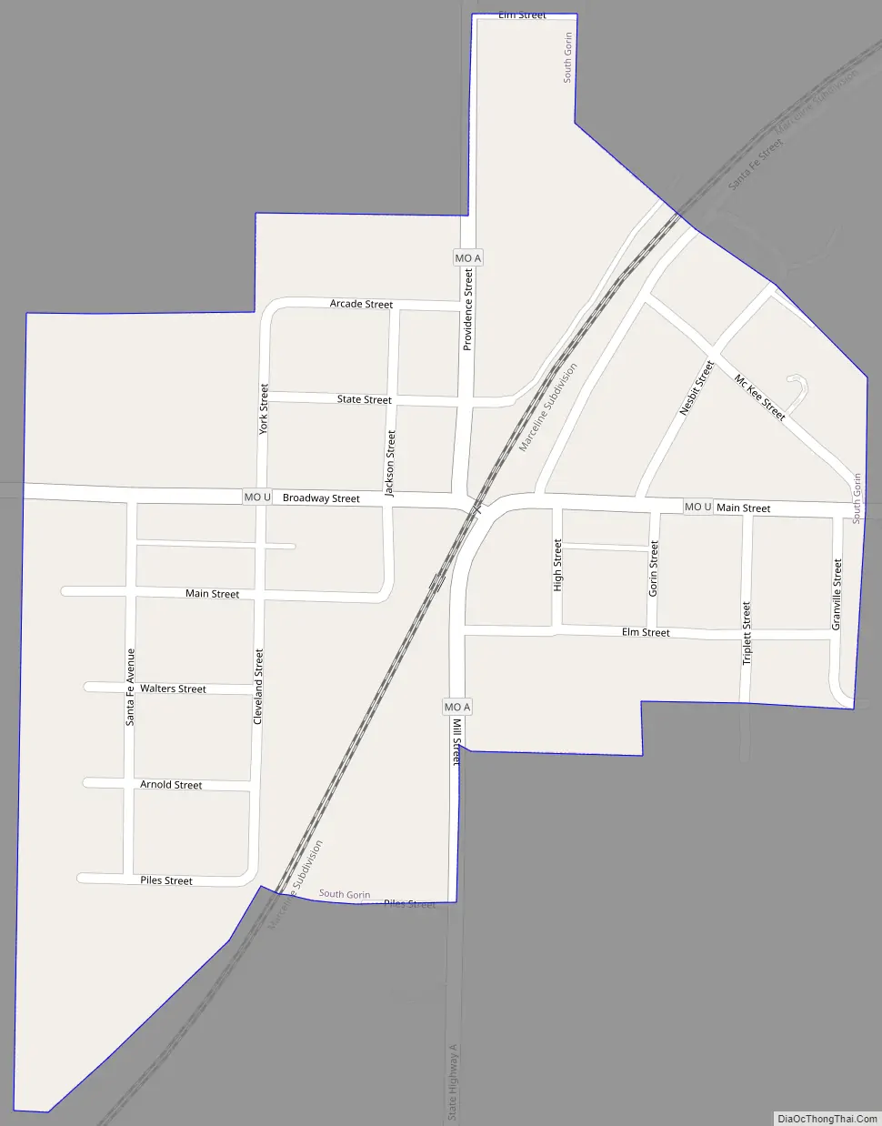
South Gorin Road Map
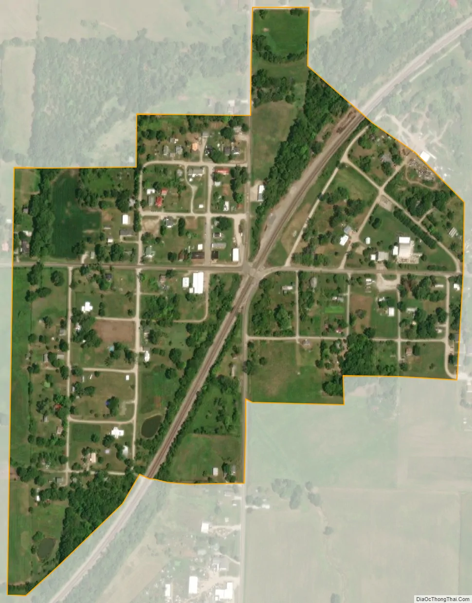
South Gorin city Satellite Map
Geography
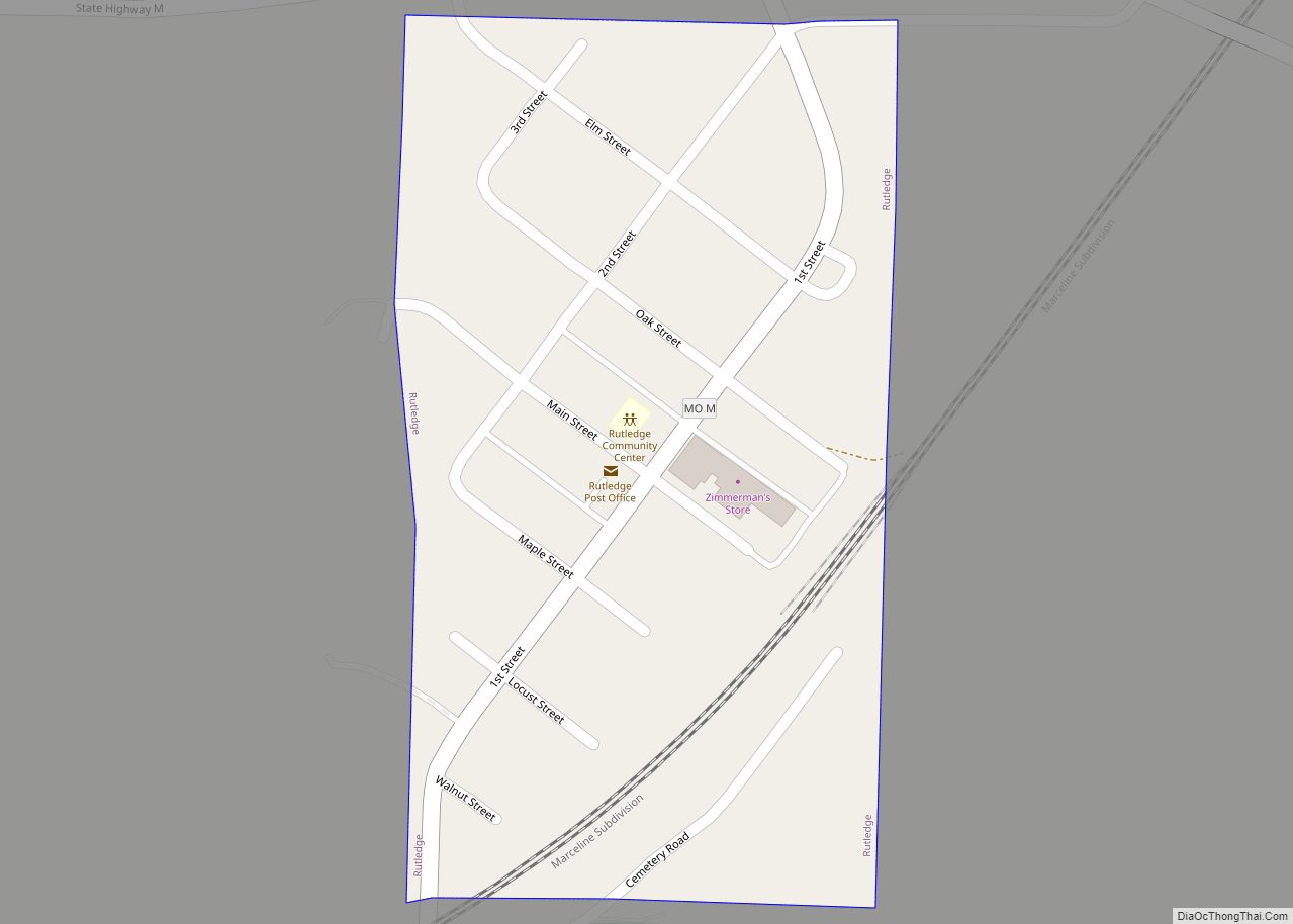
South Gorin is located in southeast Scotland County at the intersection of Missouri Routes A and U approximately two miles northeast of the North Fabius River. Memphis lies ten miles to the northwest, Rutledge is 4.5 miles to the southwest and Wyaconda is five miles to the northeast in adjacent Clark County. The Atchison, Topeka and Santa Fe Railroad passes through the town.
According to the United States Census Bureau, the city has a total area of 0.20 square miles (0.52 km), all land.
See also
Map of Missouri State and its subdivision:- Adair
- Andrew
- Atchison
- Audrain
- Barry
- Barton
- Bates
- Benton
- Bollinger
- Boone
- Buchanan
- Butler
- Caldwell
- Callaway
- Camden
- Cape Girardeau
- Carroll
- Carter
- Cass
- Cedar
- Chariton
- Christian
- Clark
- Clay
- Clinton
- Cole
- Cooper
- Crawford
- Dade
- Dallas
- Daviess
- De Kalb
- Dent
- Douglas
- Dunklin
- Franklin
- Gasconade
- Gentry
- Greene
- Grundy
- Harrison
- Henry
- Hickory
- Holt
- Howard
- Howell
- Iron
- Jackson
- Jasper
- Jefferson
- Johnson
- Knox
- Laclede
- Lafayette
- Lawrence
- Lewis
- Lincoln
- Linn
- Livingston
- Macon
- Madison
- Maries
- Marion
- McDonald
- Mercer
- Miller
- Mississippi
- Moniteau
- Monroe
- Montgomery
- Morgan
- New Madrid
- Newton
- Nodaway
- Oregon
- Osage
- Ozark
- Pemiscot
- Perry
- Pettis
- Phelps
- Pike
- Platte
- Polk
- Pulaski
- Putnam
- Ralls
- Randolph
- Ray
- Reynolds
- Ripley
- Saint Charles
- Saint Clair
- Saint Francois
- Saint Louis
- Sainte Genevieve
- Saline
- Schuyler
- Scotland
- Scott
- Shannon
- Shelby
- Stoddard
- Stone
- Sullivan
- Taney
- Texas
- Vernon
- Warren
- Washington
- Wayne
- Webster
- Worth
- Wright
- Alabama
- Alaska
- Arizona
- Arkansas
- California
- Colorado
- Connecticut
- Delaware
- District of Columbia
- Florida
- Georgia
- Hawaii
- Idaho
- Illinois
- Indiana
- Iowa
- Kansas
- Kentucky
- Louisiana
- Maine
- Maryland
- Massachusetts
- Michigan
- Minnesota
- Mississippi
- Missouri
- Montana
- Nebraska
- Nevada
- New Hampshire
- New Jersey
- New Mexico
- New York
- North Carolina
- North Dakota
- Ohio
- Oklahoma
- Oregon
- Pennsylvania
- Rhode Island
- South Carolina
- South Dakota
- Tennessee
- Texas
- Utah
- Vermont
- Virginia
- Washington
- West Virginia
- Wisconsin
- Wyoming