Memphis is a city in and the county seat of Scotland County, on the northern border of Missouri, United States. As of the 2020 census, its population was 1,731. U.S. Highway 136 passes near Memphis, which is east of Lancaster and west of Kahoka.
| Name: | Memphis city |
|---|---|
| LSAD Code: | 25 |
| LSAD Description: | city (suffix) |
| State: | Missouri |
| County: | Scotland County |
| Elevation: | 764 ft (233 m) |
| Total Area: | 1.56 sq mi (4.05 km²) |
| Land Area: | 1.56 sq mi (4.04 km²) |
| Water Area: | 0.01 sq mi (0.02 km²) |
| Total Population: | 1,731 |
| Population Density: | 1,111.04/sq mi (428.92/km²) |
| ZIP code: | 63555 |
| Area code: | 660 |
| FIPS code: | 2947270 |
| GNISfeature ID: | 2395092 |
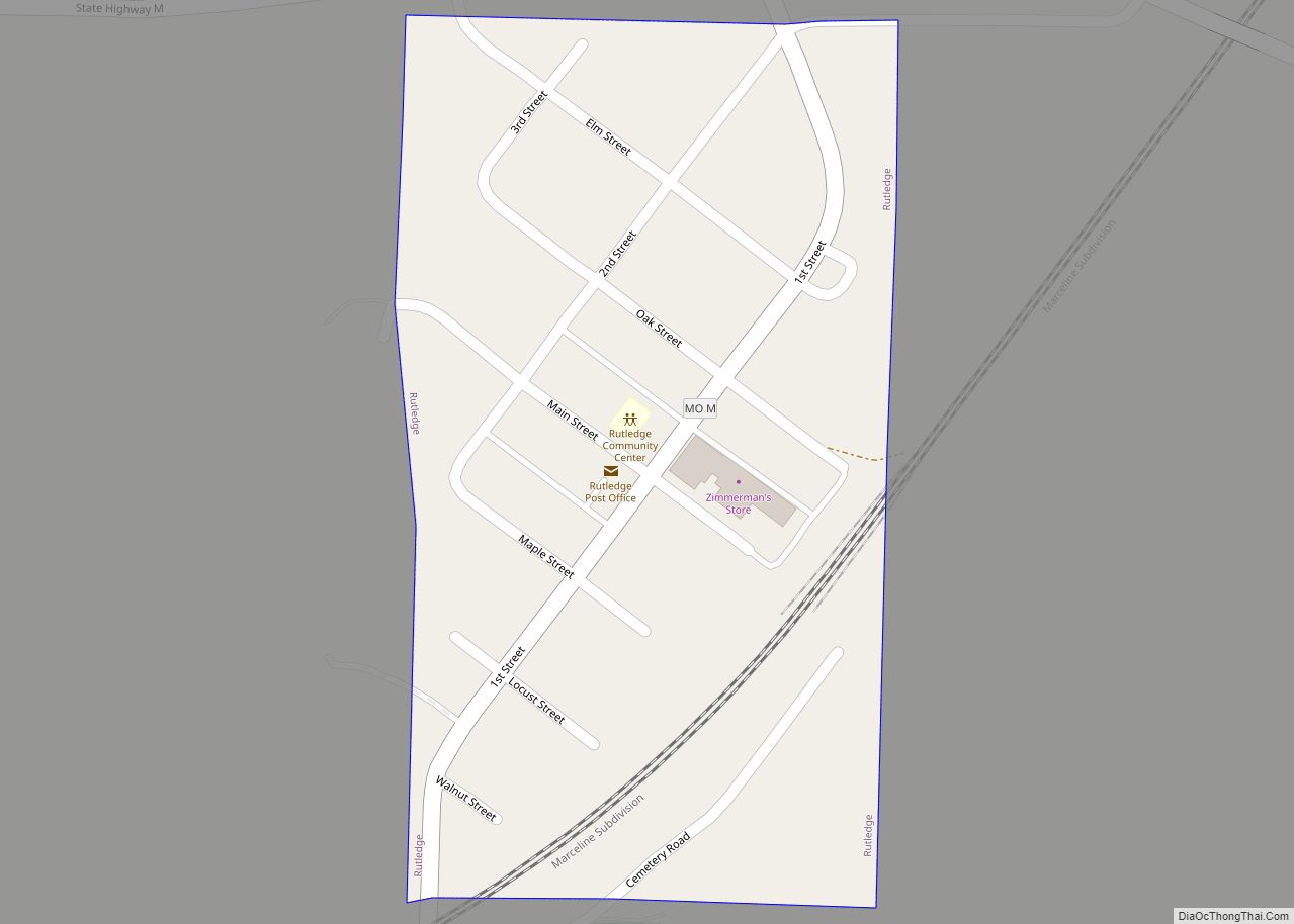
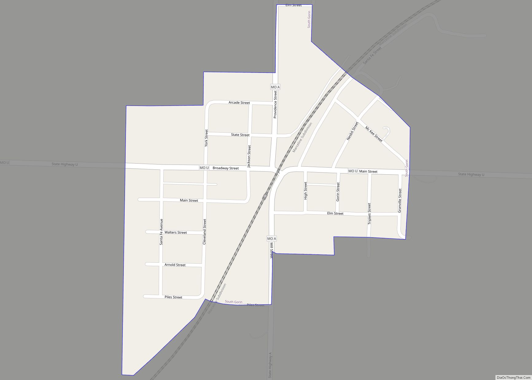
Online Interactive Map
Click on ![]() to view map in "full screen" mode.
to view map in "full screen" mode.
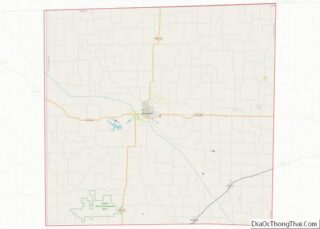
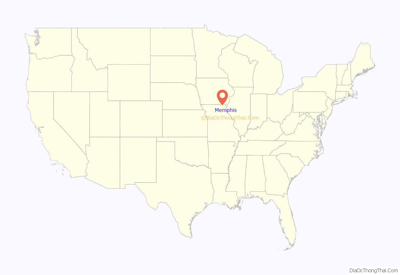
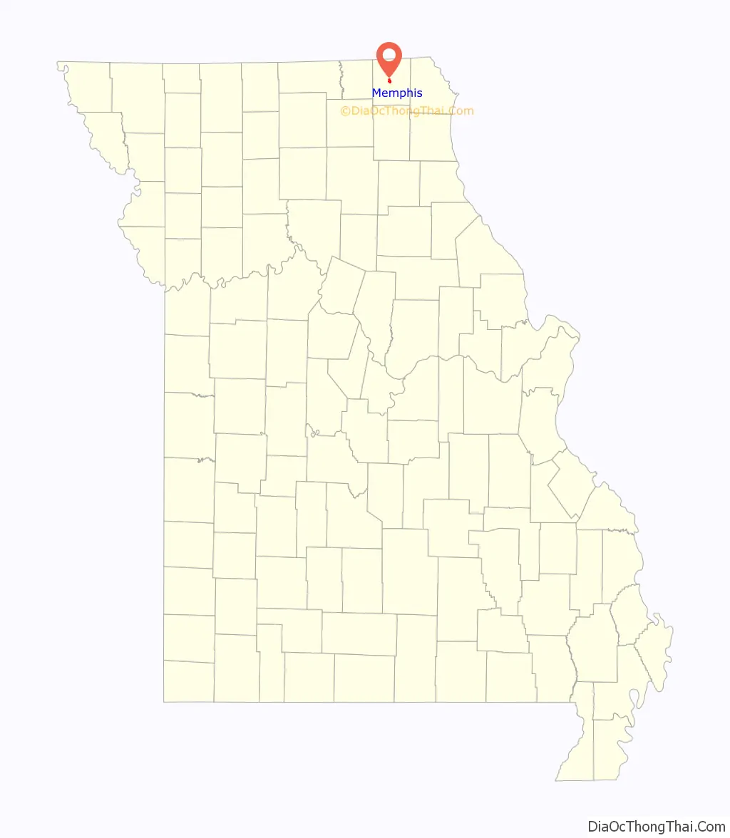
Memphis location map. Where is Memphis city?
History
Although the Missouri General Assembly organized Scotland County on January 29, 1841, the town of Memphis was not developed until more than two years later. County commissioners met at Sand Hill on May 15, 1843, to select the county seat. They chose a spot near the county’s geographical center and, after some debate, named it Memphis, after Memphis, Egypt. The name had been previously used by a U.S. Post Office that operated near the North Fabius River a short distance away.
Early settler Samuel Cecil donated about 50 acres of land to the county for the new town. After being laid out in town lots, the original plat of Memphis was filed in county court on October 11, 1843. A few homes had already been developed in the area, the first being a log cabin constructed in 1835 by Burton Tompkins.
Scotland County’s first courthouse, a two-story brick structure, was completed in June 1845 at a cost of $1,500. A decade later the county court declared the building unsafe. A second, larger courthouse was constructed in the middle of the town square in 1856 at a cost of $19,500. That building served the county well until the turn of the 20th century, but its small size made it outdated; it measured 40 by 70 feet. It was condemned in May 1905 and razed in early 1907. The current Scotland County courthouse was constructed between October 1907 and July 1908 at a cost of $50,000.
Civil War
Scotland County was the scene of two notable engagements during the American Civil War. On July 13, 1862, Confederate Colonel Joseph C. Porter approached Memphis in four converging columns totaling 125–169 men, and captured the city with little or no resistance. They first raided the federal armory, seizing about 100 muskets with cartridge boxes and ammunition, and several uniforms. The Confederates rounded up all adult males and took them to the courthouse. They had to swear not to divulge any information about the raiders for 48 hours. Porter freed all militiamen or suspected militiamen to await parole. He gave safe passage to a physician, an admitted Union supporter, who was anxious to return to a seriously ill wife. Porter’s troops entered the courthouse and destroyed all indictments for horse-theft. This act has been variously interpreted as lawlessness, intervention on behalf of criminal associates, or interference with politically motivated, fraudulent charges.
According to the History of Shelby County, which is generally sympathetic to Porter, “Most conceded that Col. Porter’s purpose for capturing Memphis, MO. was to seize Dr. Wm. Aylward, a prominent Union man of the community.” Aylward was confined to a house after being captured by Captain Tom Stacy’s men. Stacy was generally regarded as a bushwhacker; other members of Porter’s command called his company “the chain gang”. Guards claimed that Aylward escaped, but witnesses reported hearing a strangling. The doctor’s body was found the next day, marked by signs consistent with hanging or strangulation. Supporters of Porter attributed Aylward’s murder to Stacy, but questions remained.
20th century
In the late 1920s, The Pheasant Aircraft Company was established in Memphis.
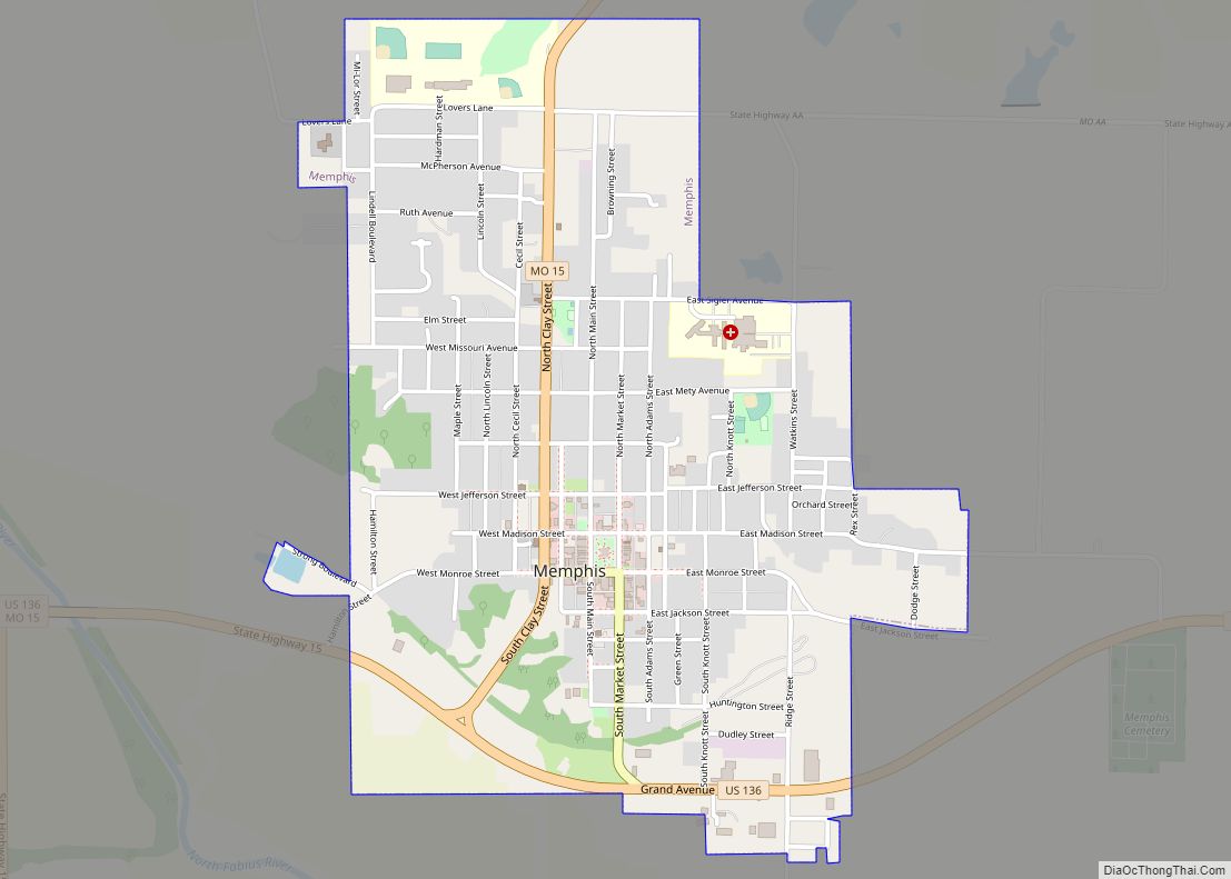
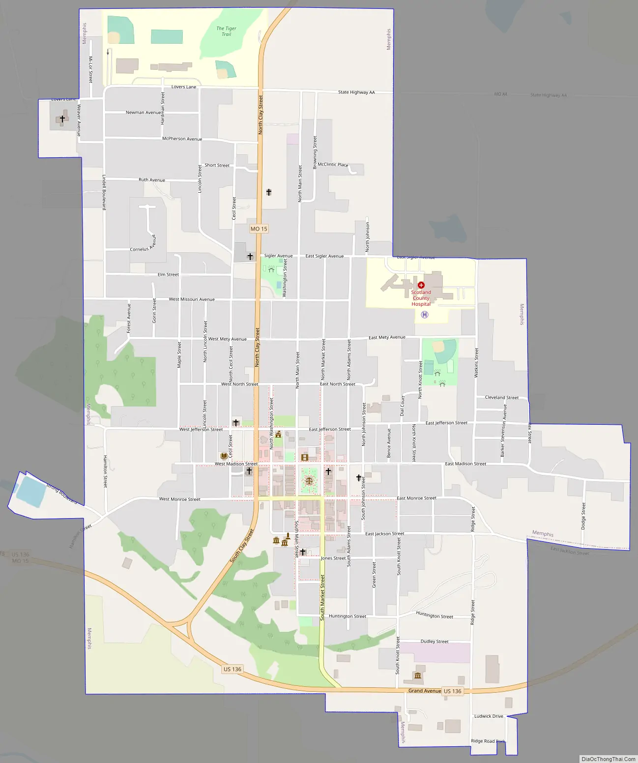
Memphis Road Map
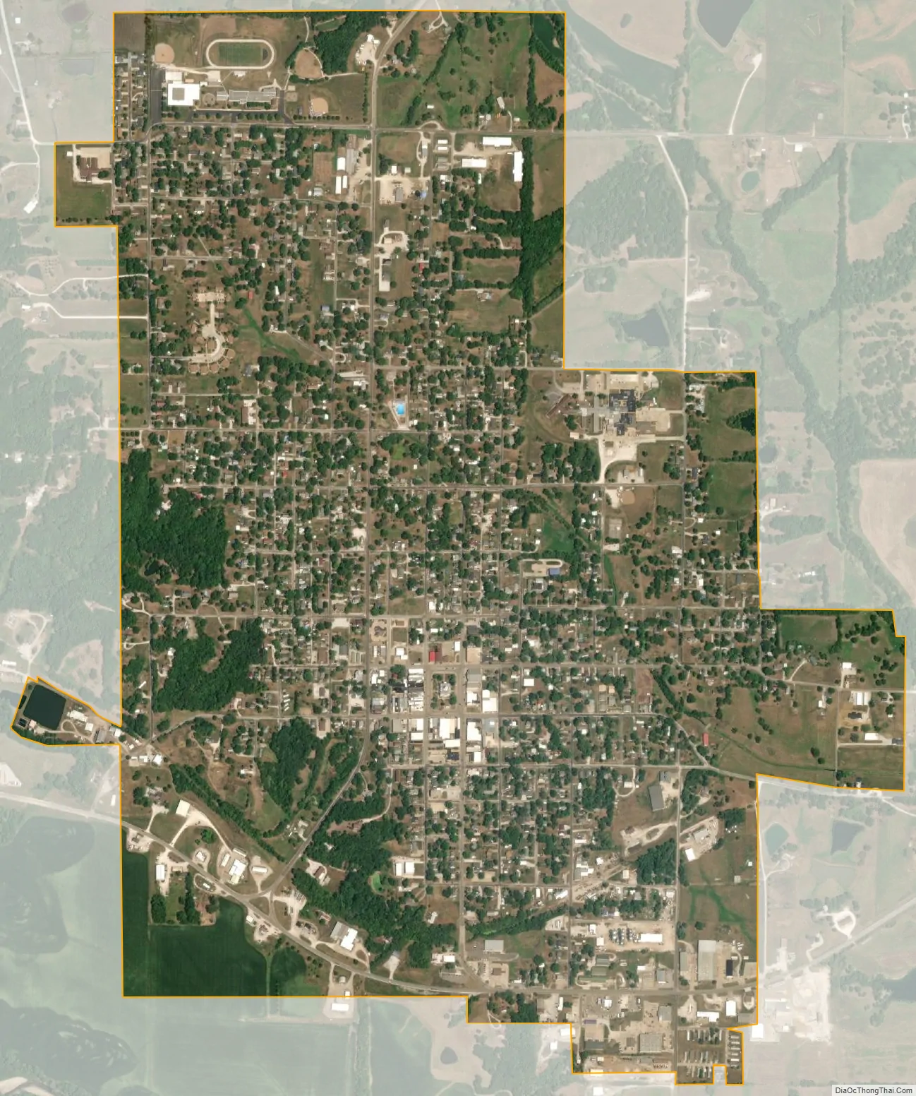
Memphis city Satellite Map
Geography
Memphis is located along the North Fabius River. According to the United States Census Bureau, the city has an area of 1.57 square miles (4.07 km), of which 1.56 square miles (4.04 km) is land and 0.01 square miles (0.03 km) is water.
Climate
See also
Map of Missouri State and its subdivision:- Adair
- Andrew
- Atchison
- Audrain
- Barry
- Barton
- Bates
- Benton
- Bollinger
- Boone
- Buchanan
- Butler
- Caldwell
- Callaway
- Camden
- Cape Girardeau
- Carroll
- Carter
- Cass
- Cedar
- Chariton
- Christian
- Clark
- Clay
- Clinton
- Cole
- Cooper
- Crawford
- Dade
- Dallas
- Daviess
- De Kalb
- Dent
- Douglas
- Dunklin
- Franklin
- Gasconade
- Gentry
- Greene
- Grundy
- Harrison
- Henry
- Hickory
- Holt
- Howard
- Howell
- Iron
- Jackson
- Jasper
- Jefferson
- Johnson
- Knox
- Laclede
- Lafayette
- Lawrence
- Lewis
- Lincoln
- Linn
- Livingston
- Macon
- Madison
- Maries
- Marion
- McDonald
- Mercer
- Miller
- Mississippi
- Moniteau
- Monroe
- Montgomery
- Morgan
- New Madrid
- Newton
- Nodaway
- Oregon
- Osage
- Ozark
- Pemiscot
- Perry
- Pettis
- Phelps
- Pike
- Platte
- Polk
- Pulaski
- Putnam
- Ralls
- Randolph
- Ray
- Reynolds
- Ripley
- Saint Charles
- Saint Clair
- Saint Francois
- Saint Louis
- Sainte Genevieve
- Saline
- Schuyler
- Scotland
- Scott
- Shannon
- Shelby
- Stoddard
- Stone
- Sullivan
- Taney
- Texas
- Vernon
- Warren
- Washington
- Wayne
- Webster
- Worth
- Wright
- Alabama
- Alaska
- Arizona
- Arkansas
- California
- Colorado
- Connecticut
- Delaware
- District of Columbia
- Florida
- Georgia
- Hawaii
- Idaho
- Illinois
- Indiana
- Iowa
- Kansas
- Kentucky
- Louisiana
- Maine
- Maryland
- Massachusetts
- Michigan
- Minnesota
- Mississippi
- Missouri
- Montana
- Nebraska
- Nevada
- New Hampshire
- New Jersey
- New Mexico
- New York
- North Carolina
- North Dakota
- Ohio
- Oklahoma
- Oregon
- Pennsylvania
- Rhode Island
- South Carolina
- South Dakota
- Tennessee
- Texas
- Utah
- Vermont
- Virginia
- Washington
- West Virginia
- Wisconsin
- Wyoming