Spanish Lake is a census-designated place (CDP) in St. Louis County, Missouri, United States. The population was 18,413 at the 2020 census.
| Name: | Spanish Lake CDP |
|---|---|
| LSAD Code: | 57 |
| LSAD Description: | CDP (suffix) |
| State: | Missouri |
| County: | St. Louis County |
| Elevation: | 512 ft (156 m) |
| Total Area: | 7.49 sq mi (19.39 km²) |
| Land Area: | 7.37 sq mi (19.09 km²) |
| Water Area: | 0.11 sq mi (0.29 km²) |
| Total Population: | 18,413 |
| Population Density: | 2,497.69/sq mi (964.34/km²) |
| FIPS code: | 2969266 |
| GNISfeature ID: | 2393243 |
Online Interactive Map
Click on ![]() to view map in "full screen" mode.
to view map in "full screen" mode.
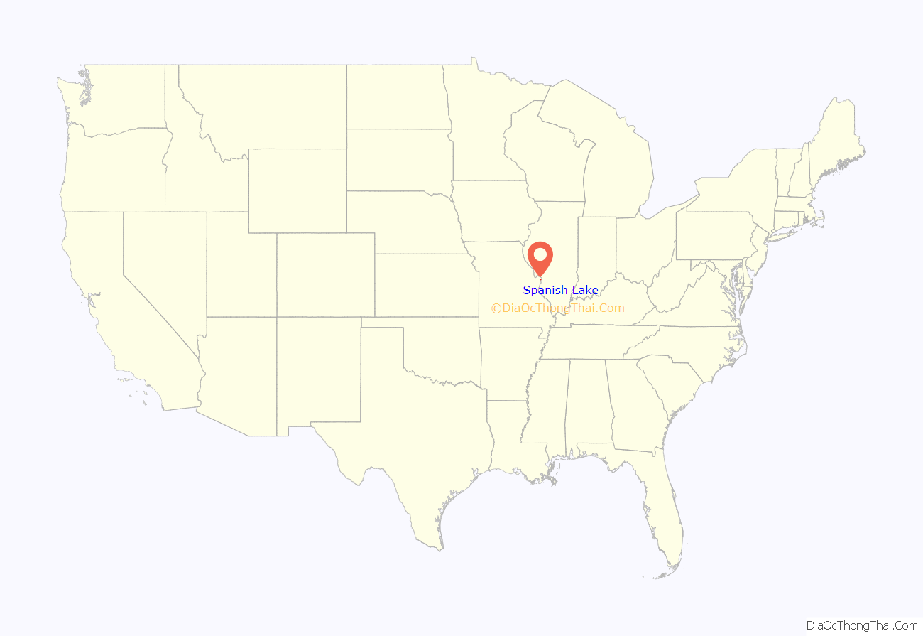
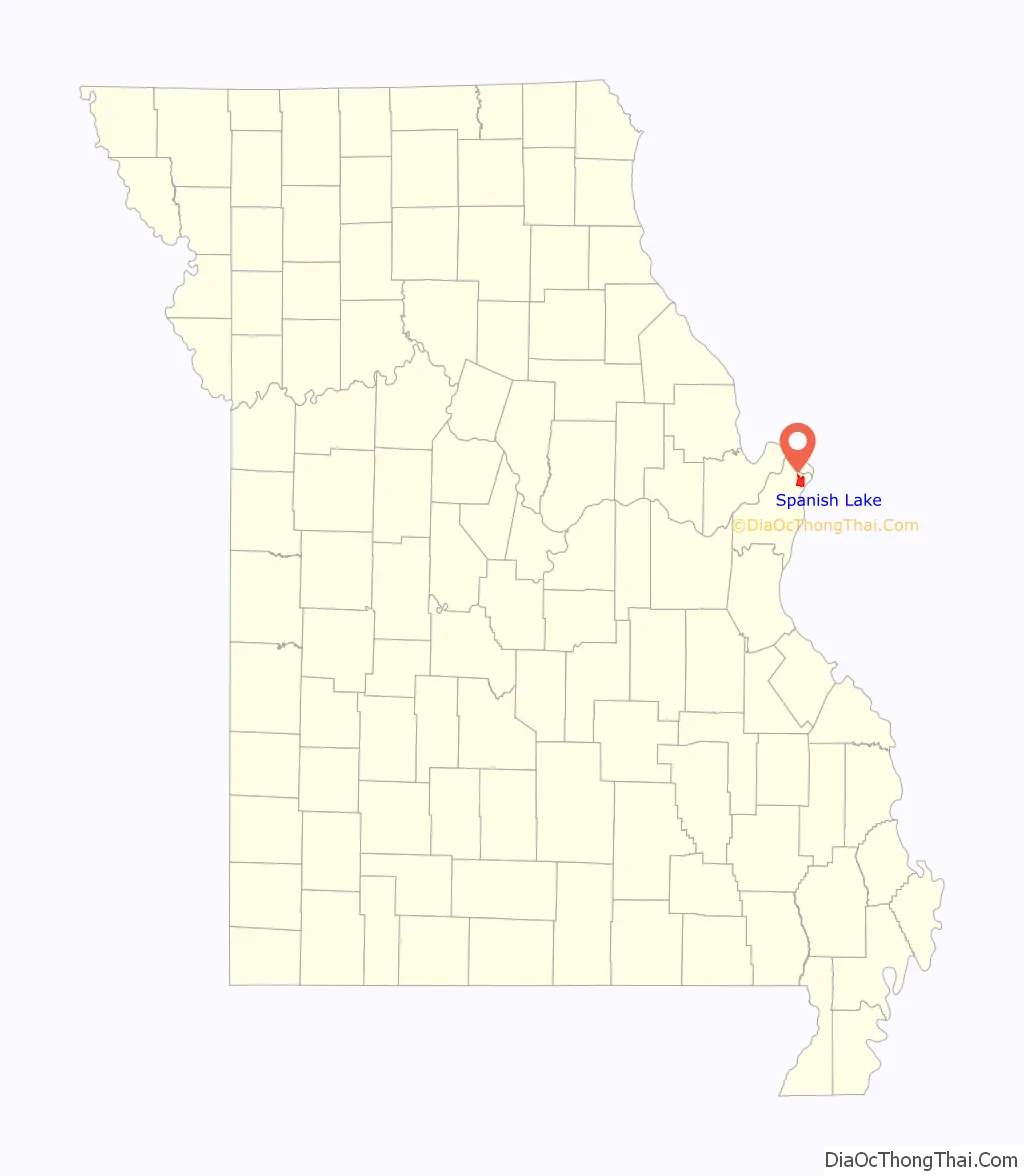
Spanish Lake location map. Where is Spanish Lake CDP?
History
Spanish Lake, originally called Spanish Pond until the late nineteenth century, was named after the Spanish troops who stayed there while building a fortified post for Spain in 1768. Much of the area was once the property of James De St. Vrain, a brother of the last Spanish lieutenant governor of Upper Louisiana. It was in this district, near Spanish Pond, that an old log cabin, said to have been used as a government building by Lieutenant Governor De Lassus De St. Vrain, the last Spanish executive to rule this section, was erected.
Spanish Lake prospered in the nineteenth century, as a crossroads farming village came into being. The Bellefontaine Road area was settled largely after General Bissell relocated Fort Bellefontaine. Fort Bellefontaine was established in 1806 by Gen. James Wilkerson, governor of the territory of Louisiana. The fort served as one of the most important military posts west of the Mississippi River until the troops were removed to the Jefferson Barracks reservation in 1827. Traffic between St. Louis and the fort was busy; many officials had homes in both places, and visiting dignitaries usually went to both sites. The liveliest traffic was effected by the farmers riding back and forth to the city.
Spanish Lake became a well-developed neighborhood with the arrival of German immigrants. Farmland was intensely cultivated, and small businesses and industries sprang up around the intersection of Bellefontaine, Parker, and Spanish Pond roads, forming the village’s center. The Catholic parish of St. Aloysius in Spanish Lake was founded by, and for many years served as, a mission of Baden, located in the northern portion of St. Louis. The Bank of Baden played a large role in farm financing in Spanish Lake, and many county farmers also had business interests in Baden. The German dominance of the region was almost complete by the 1870s, and most of the surviving farm houses and outbuildings are associated with that era.
Spanish Lake was a rural farming community for many years, until the 1950s when neighborhoods of tract housing were built. The area became a rural refuge from St. Louis city and received an exclusively white population. The 1970s saw the proliferation of dense apartment housing to Spanish Lake. African-Americans fleeing the failed Pruitt-Igoe public housing high rises in the city moved into the apartments via the Section 8 voucher system which immediately struck racial tensions in the area, particularly in local schools. The 1990s saw a mass exodus of the white population, spurred on by blockbusting, a practice some U.S. real estate agents use to encourage white property owners to sell their houses quickly at a loss, implying the African-Americans moving into their neighborhood will depress their property values. This era of the city’s history is chronicled in the documentary Spanish Lake, although its depiction comes with some disagreement from community stakeholders.
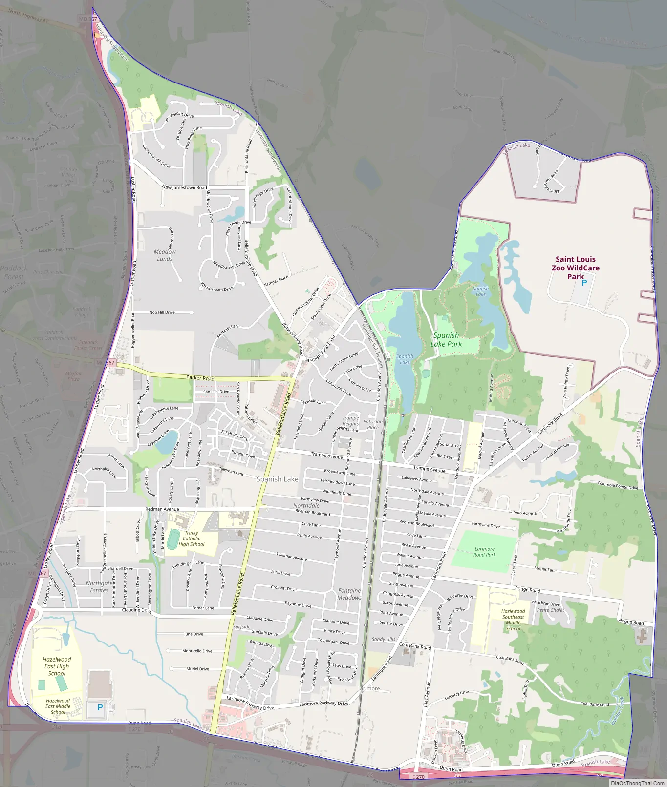
Spanish Lake Road Map
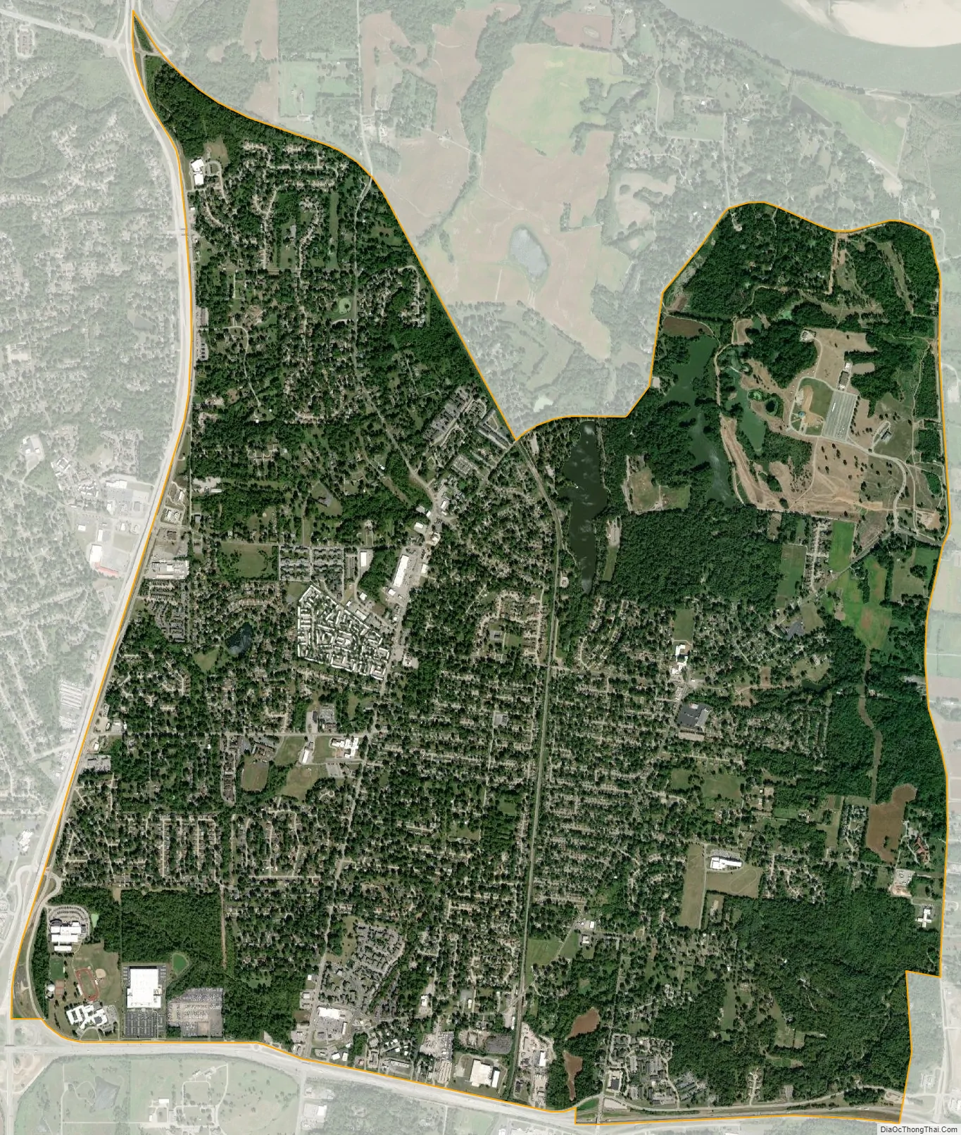
Spanish Lake city Satellite Map
Geography
The Spanish Lake community is located in the northeastern portion of St. Louis County. The community is bounded by the Mississippi River to the east, the Missouri River to the north, Highway 367 to the west, and Interstate 270 to the south.
According to the United States Census Bureau, the CDP has a total area of 7.5 square miles (19 km), of which 7.4 square miles (19 km) is land and 0.2 square miles (0.52 km), or 2.13%, is water.
See also
Map of Missouri State and its subdivision:- Adair
- Andrew
- Atchison
- Audrain
- Barry
- Barton
- Bates
- Benton
- Bollinger
- Boone
- Buchanan
- Butler
- Caldwell
- Callaway
- Camden
- Cape Girardeau
- Carroll
- Carter
- Cass
- Cedar
- Chariton
- Christian
- Clark
- Clay
- Clinton
- Cole
- Cooper
- Crawford
- Dade
- Dallas
- Daviess
- De Kalb
- Dent
- Douglas
- Dunklin
- Franklin
- Gasconade
- Gentry
- Greene
- Grundy
- Harrison
- Henry
- Hickory
- Holt
- Howard
- Howell
- Iron
- Jackson
- Jasper
- Jefferson
- Johnson
- Knox
- Laclede
- Lafayette
- Lawrence
- Lewis
- Lincoln
- Linn
- Livingston
- Macon
- Madison
- Maries
- Marion
- McDonald
- Mercer
- Miller
- Mississippi
- Moniteau
- Monroe
- Montgomery
- Morgan
- New Madrid
- Newton
- Nodaway
- Oregon
- Osage
- Ozark
- Pemiscot
- Perry
- Pettis
- Phelps
- Pike
- Platte
- Polk
- Pulaski
- Putnam
- Ralls
- Randolph
- Ray
- Reynolds
- Ripley
- Saint Charles
- Saint Clair
- Saint Francois
- Saint Louis
- Sainte Genevieve
- Saline
- Schuyler
- Scotland
- Scott
- Shannon
- Shelby
- Stoddard
- Stone
- Sullivan
- Taney
- Texas
- Vernon
- Warren
- Washington
- Wayne
- Webster
- Worth
- Wright
- Alabama
- Alaska
- Arizona
- Arkansas
- California
- Colorado
- Connecticut
- Delaware
- District of Columbia
- Florida
- Georgia
- Hawaii
- Idaho
- Illinois
- Indiana
- Iowa
- Kansas
- Kentucky
- Louisiana
- Maine
- Maryland
- Massachusetts
- Michigan
- Minnesota
- Mississippi
- Missouri
- Montana
- Nebraska
- Nevada
- New Hampshire
- New Jersey
- New Mexico
- New York
- North Carolina
- North Dakota
- Ohio
- Oklahoma
- Oregon
- Pennsylvania
- Rhode Island
- South Carolina
- South Dakota
- Tennessee
- Texas
- Utah
- Vermont
- Virginia
- Washington
- West Virginia
- Wisconsin
- Wyoming


