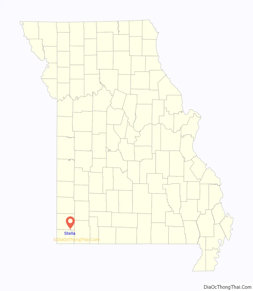
Stella is a village in southern Newton County, Missouri, United States. The population was 158 at the 2010 census. It is part of the Joplin, Missouri Metropolitan Statistical Area. The village of Stella is located 17 miles southeast of Neosho.
| Name: | Stella town |
|---|---|
| LSAD Code: | 43 |
| LSAD Description: | town (suffix) |
| State: | Missouri |
| County: | Newton County |
| Elevation: | 1,155 ft (352 m) |
| Total Area: | 0.16 sq mi (0.42 km²) |
| Land Area: | 0.16 sq mi (0.42 km²) |
| Water Area: | 0.00 sq mi (0.00 km²) |
| Total Population: | 166 |
| Population Density: | 1,018.40/sq mi (392.12/km²) |
| ZIP code: | 64867 |
| Area code: | 417 |
| FIPS code: | 2970648 |
| GNISfeature ID: | 2397681 |
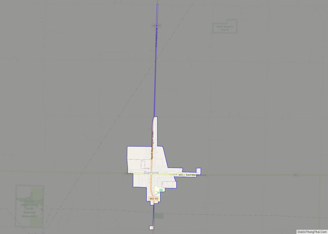
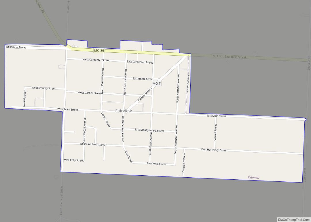
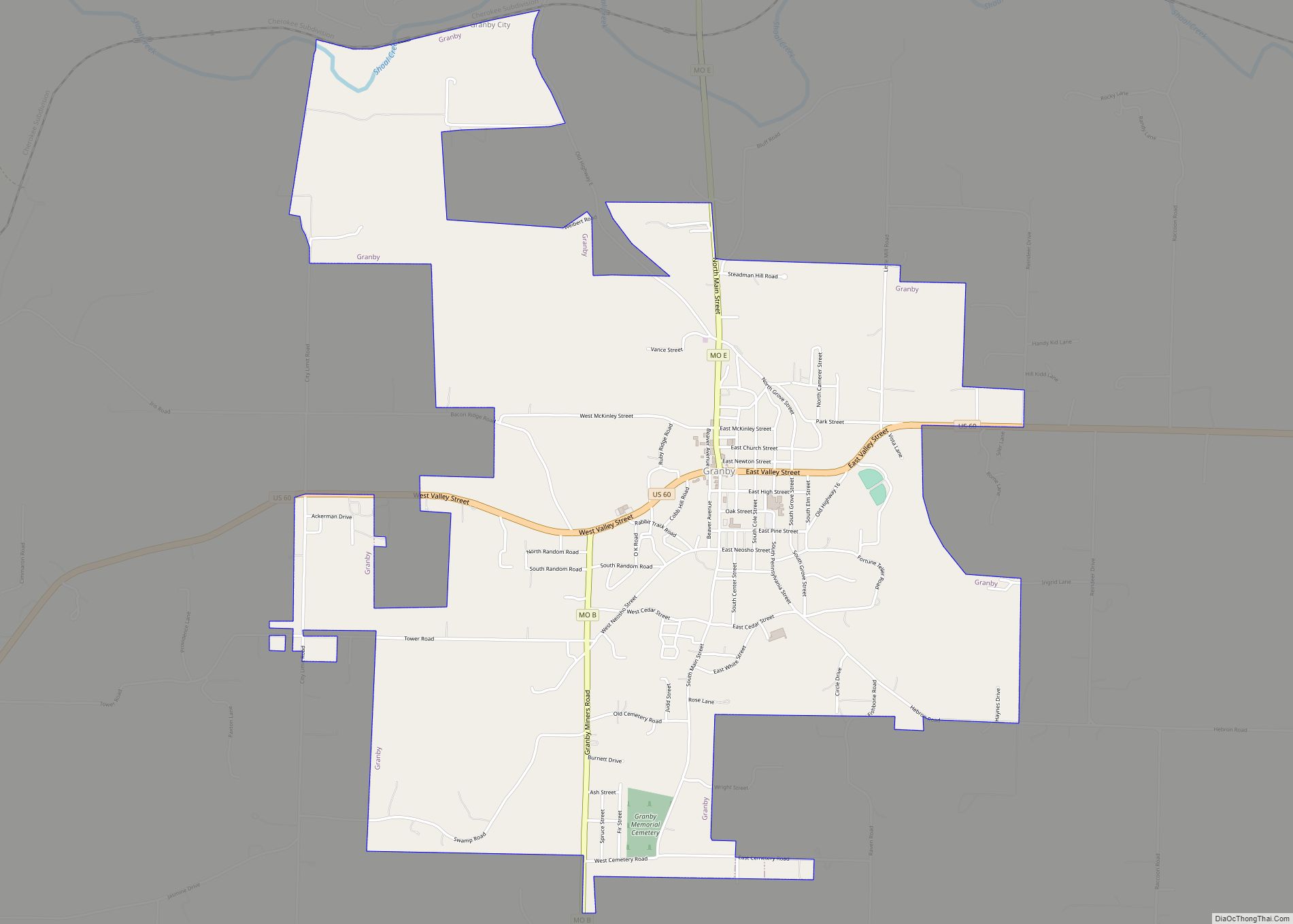
Online Interactive Map
Click on ![]() to view map in "full screen" mode.
to view map in "full screen" mode.
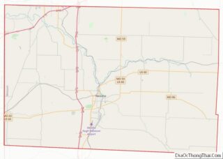
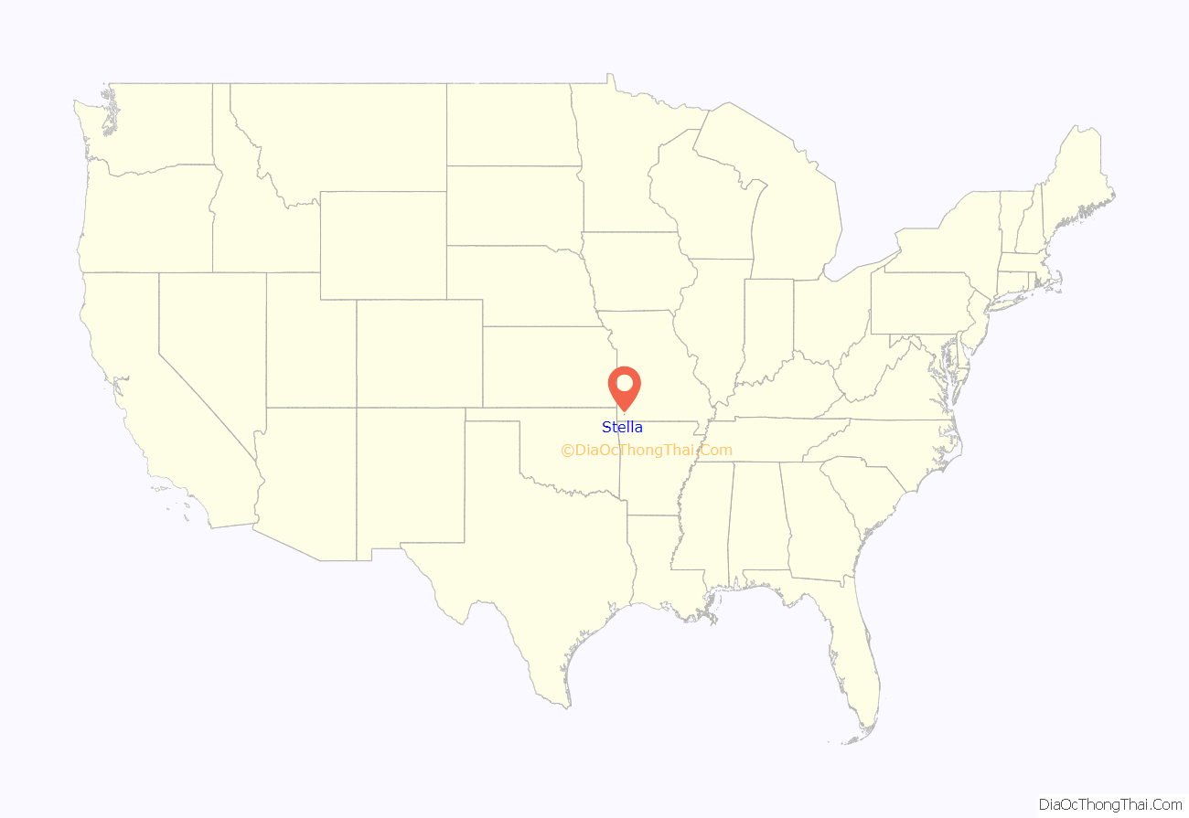
Stella location map. Where is Stella town?
History
The first known settlers of this area arrived in the early 1820s. The area of Stella was previously a fishing community called Springs. In October 1880, the St. Louis and San Francisco Railroad sold a portion of what became Stella to Moses Eagle for $200. Moses Eagle’s family arrived in the area in 1844. Stella became an incorporated town in 1930. The village was named after Moses Eagle’s granddaughter. The water-powered grist mill was built in 1867 by Eagle. The Bank of Stella was established circa 1900. The area’s first newspaper, the Amicus Curio, was started in 1901 by a doctor from Kent, Missouri, with the Stella Enterprise and the Stella Weekly Record established after that. The Horner Institute merged with the Stella Academy in 1911 and was located there until moving to Purdy in 1912. The Stella Baptist Church was established in 1886, with the actual church built circa 1911, the Stella Methodist Church circa 1896, while the Stella Church of Christ was established after 1950.
The Lentz-Carter Merchandise Store was listed on the National Register of Historic Places in 2008.
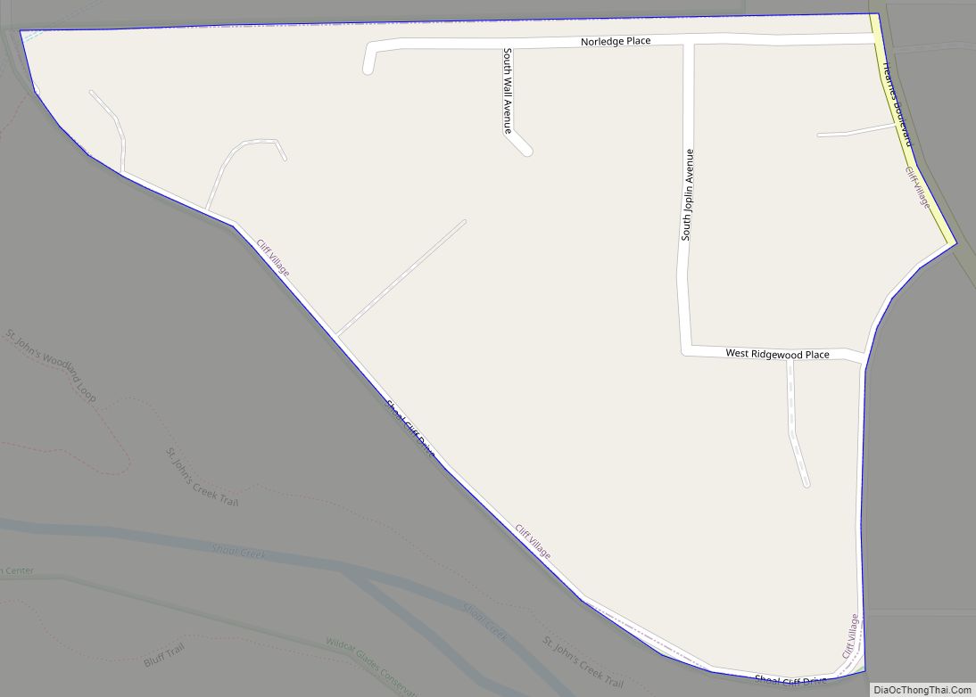
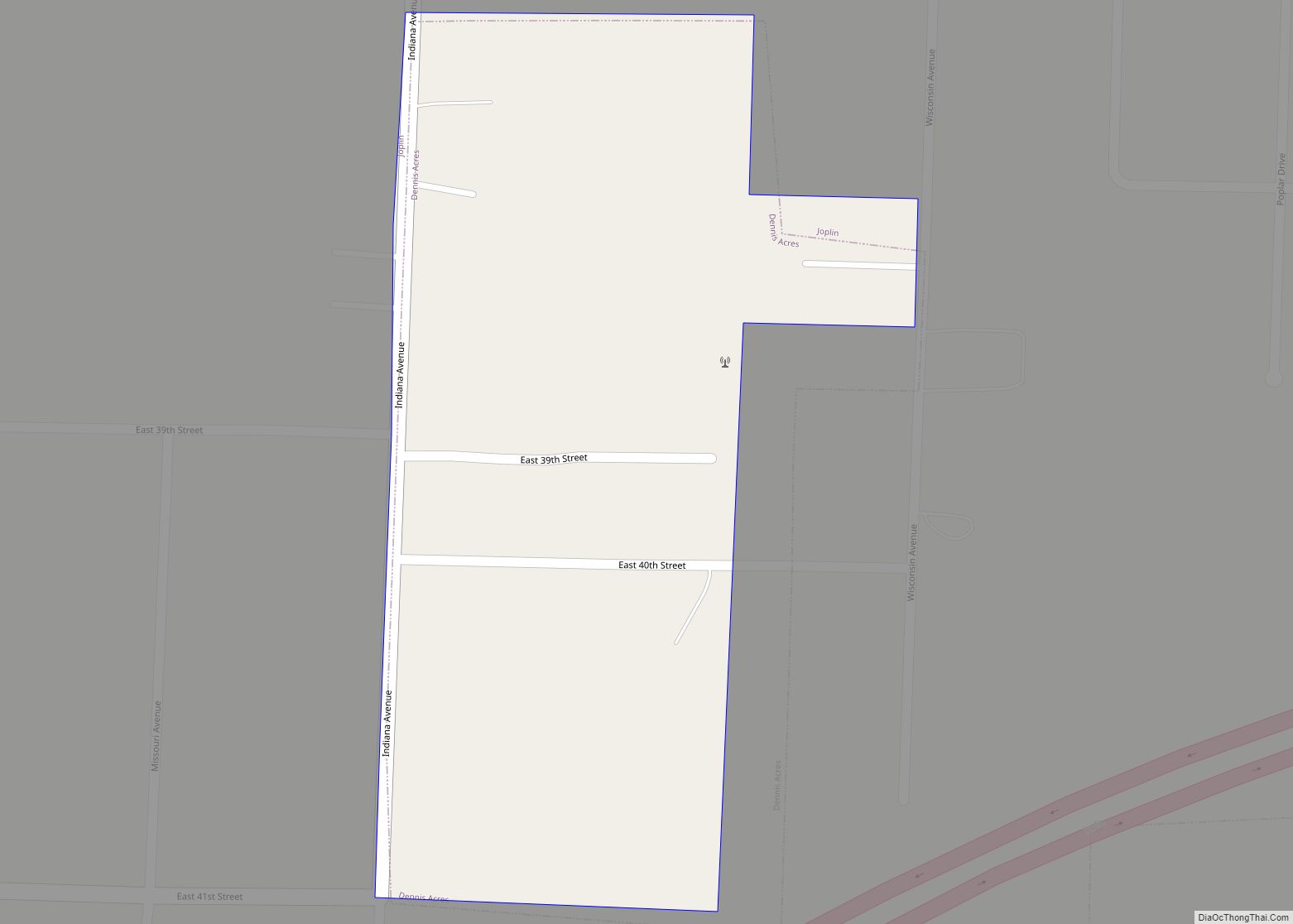
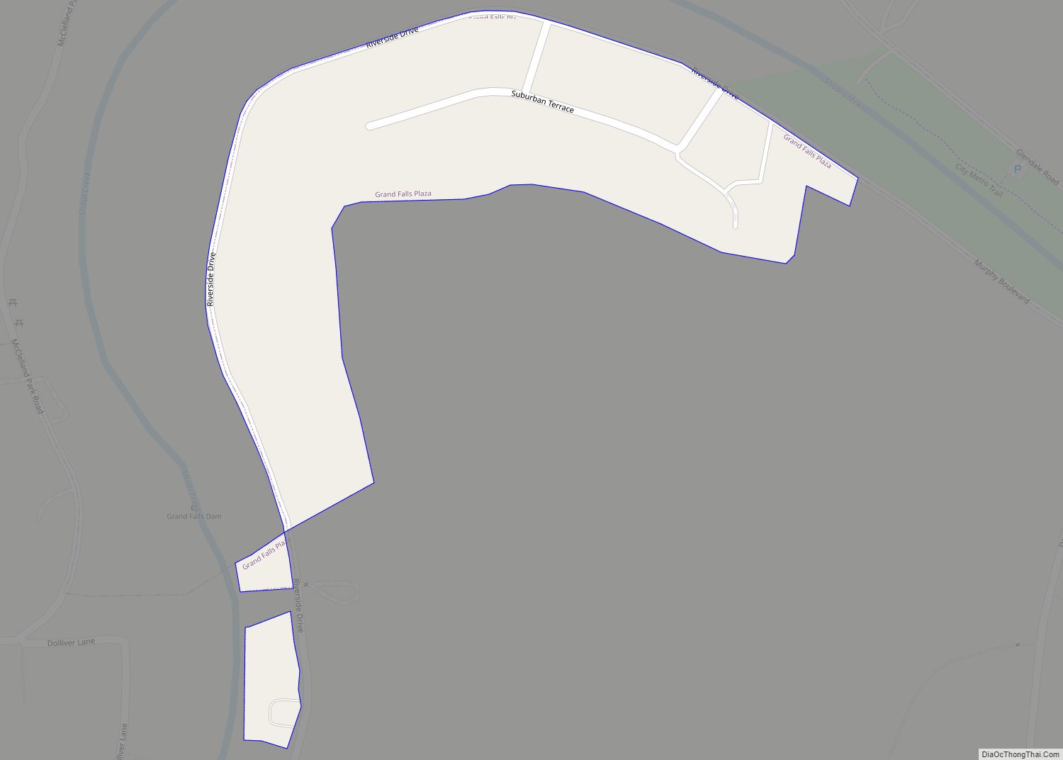
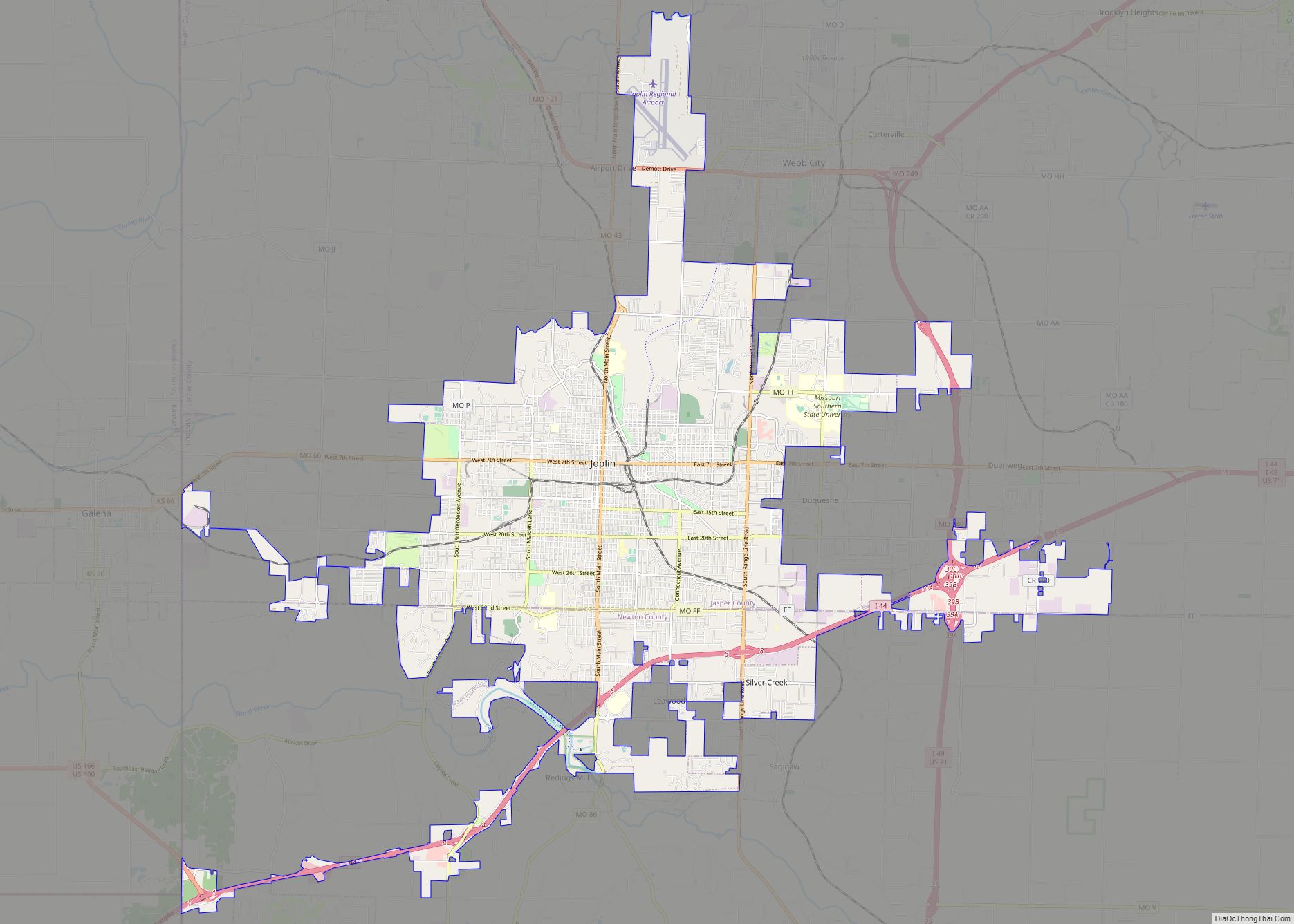
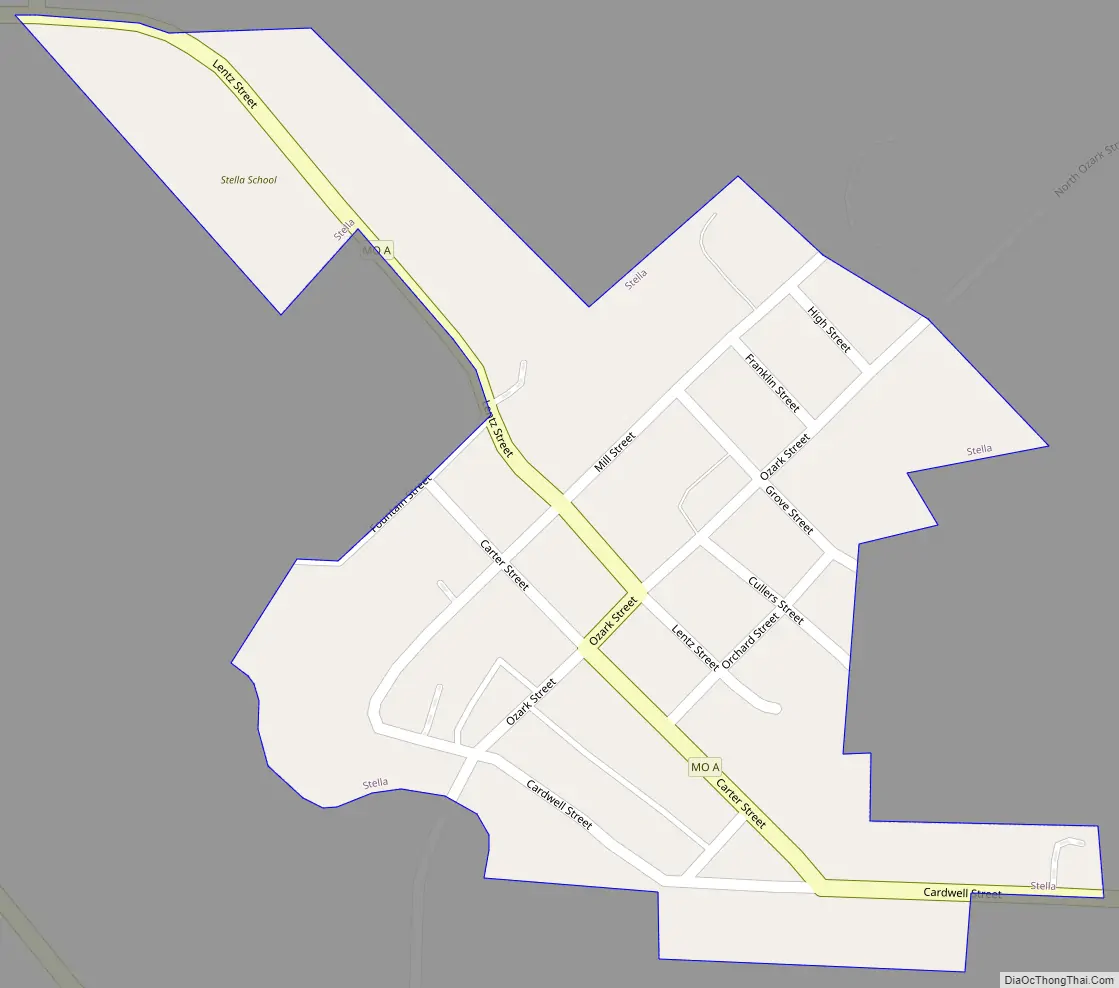
Stella Road Map
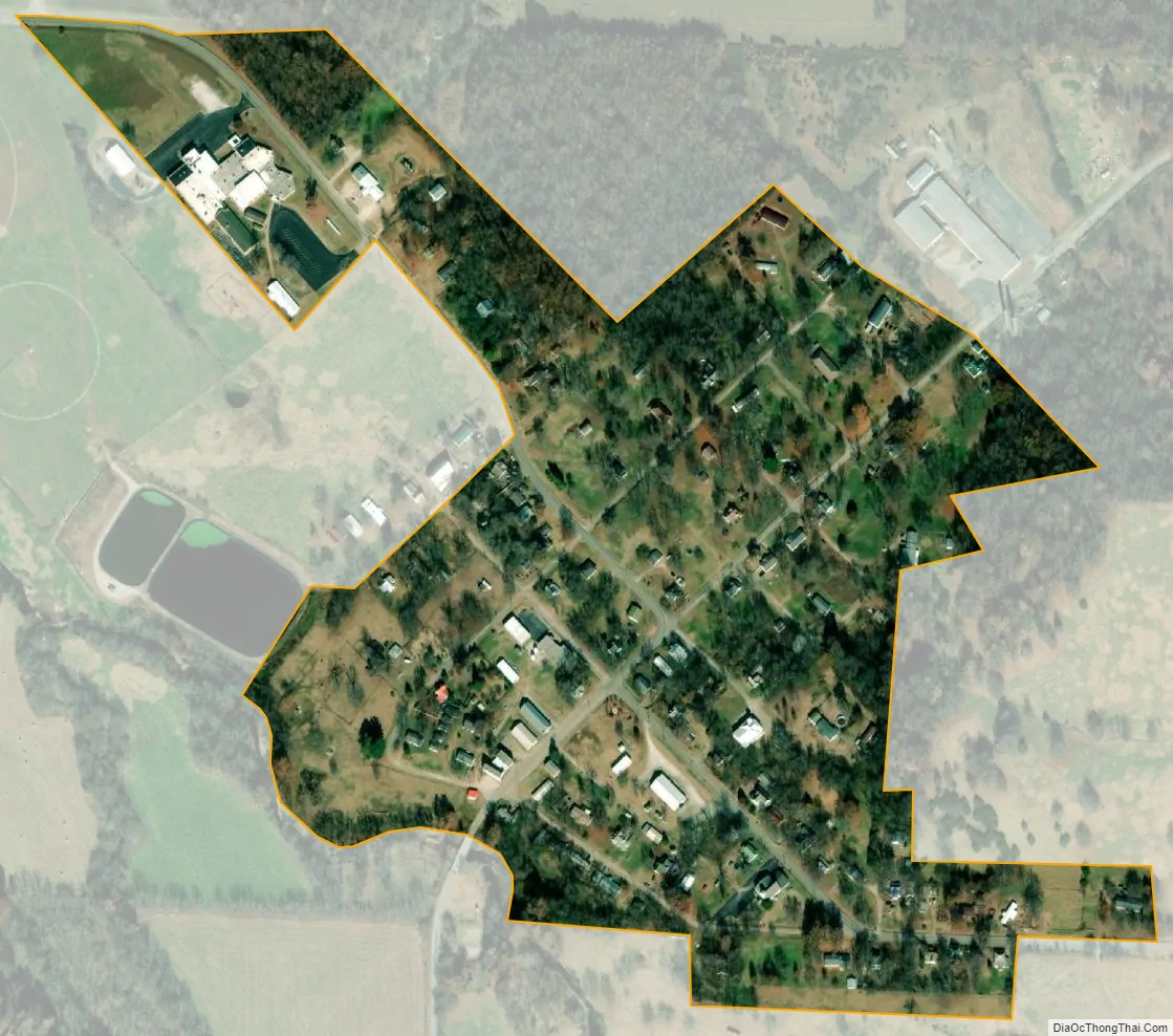
Stella city Satellite Map
Geography
Stella is located on the northeast side of South Indian Creek, one-half mile north of the Newton-McDonald county line. Access is via Missouri Routes O and F, and Missouri Route 76 passes approximately 2.5 miles to the south.
According to the United States Census Bureau, the village has a total area of 0.16 square miles (0.41 km), all land.
See also
Map of Missouri State and its subdivision:- Adair
- Andrew
- Atchison
- Audrain
- Barry
- Barton
- Bates
- Benton
- Bollinger
- Boone
- Buchanan
- Butler
- Caldwell
- Callaway
- Camden
- Cape Girardeau
- Carroll
- Carter
- Cass
- Cedar
- Chariton
- Christian
- Clark
- Clay
- Clinton
- Cole
- Cooper
- Crawford
- Dade
- Dallas
- Daviess
- De Kalb
- Dent
- Douglas
- Dunklin
- Franklin
- Gasconade
- Gentry
- Greene
- Grundy
- Harrison
- Henry
- Hickory
- Holt
- Howard
- Howell
- Iron
- Jackson
- Jasper
- Jefferson
- Johnson
- Knox
- Laclede
- Lafayette
- Lawrence
- Lewis
- Lincoln
- Linn
- Livingston
- Macon
- Madison
- Maries
- Marion
- McDonald
- Mercer
- Miller
- Mississippi
- Moniteau
- Monroe
- Montgomery
- Morgan
- New Madrid
- Newton
- Nodaway
- Oregon
- Osage
- Ozark
- Pemiscot
- Perry
- Pettis
- Phelps
- Pike
- Platte
- Polk
- Pulaski
- Putnam
- Ralls
- Randolph
- Ray
- Reynolds
- Ripley
- Saint Charles
- Saint Clair
- Saint Francois
- Saint Louis
- Sainte Genevieve
- Saline
- Schuyler
- Scotland
- Scott
- Shannon
- Shelby
- Stoddard
- Stone
- Sullivan
- Taney
- Texas
- Vernon
- Warren
- Washington
- Wayne
- Webster
- Worth
- Wright
- Alabama
- Alaska
- Arizona
- Arkansas
- California
- Colorado
- Connecticut
- Delaware
- District of Columbia
- Florida
- Georgia
- Hawaii
- Idaho
- Illinois
- Indiana
- Iowa
- Kansas
- Kentucky
- Louisiana
- Maine
- Maryland
- Massachusetts
- Michigan
- Minnesota
- Mississippi
- Missouri
- Montana
- Nebraska
- Nevada
- New Hampshire
- New Jersey
- New Mexico
- New York
- North Carolina
- North Dakota
- Ohio
- Oklahoma
- Oregon
- Pennsylvania
- Rhode Island
- South Carolina
- South Dakota
- Tennessee
- Texas
- Utah
- Vermont
- Virginia
- Washington
- West Virginia
- Wisconsin
- Wyoming