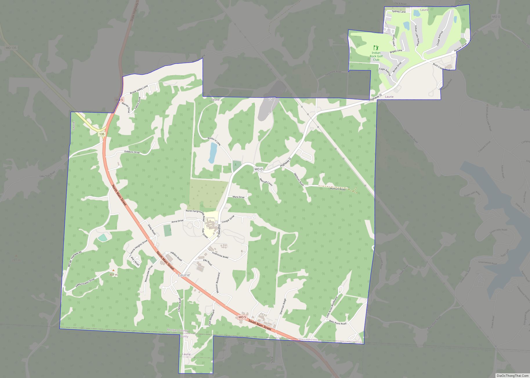
Stoutland is a city in Camden and Laclede counties in the U.S. state of Missouri. The population was 192 at the 2010 census.
| Name: | Stoutland city |
|---|---|
| LSAD Code: | 25 |
| LSAD Description: | city (suffix) |
| State: | Missouri |
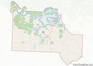
| County: | Camden County, Laclede County |
| Elevation: | 1,171 ft (357 m) |
| Total Area: | 0.60 sq mi (1.57 km²) |
| Land Area: | 0.60 sq mi (1.57 km²) |
| Water Area: | 0.00 sq mi (0.00 km²) |
| Total Population: | 209 |
| Population Density: | 346.03/sq mi (133.53/km²) |
| ZIP code: | 65567 |
| Area code: | 417 |
| FIPS code: | 2971008 |
| GNISfeature ID: | 2395979 |
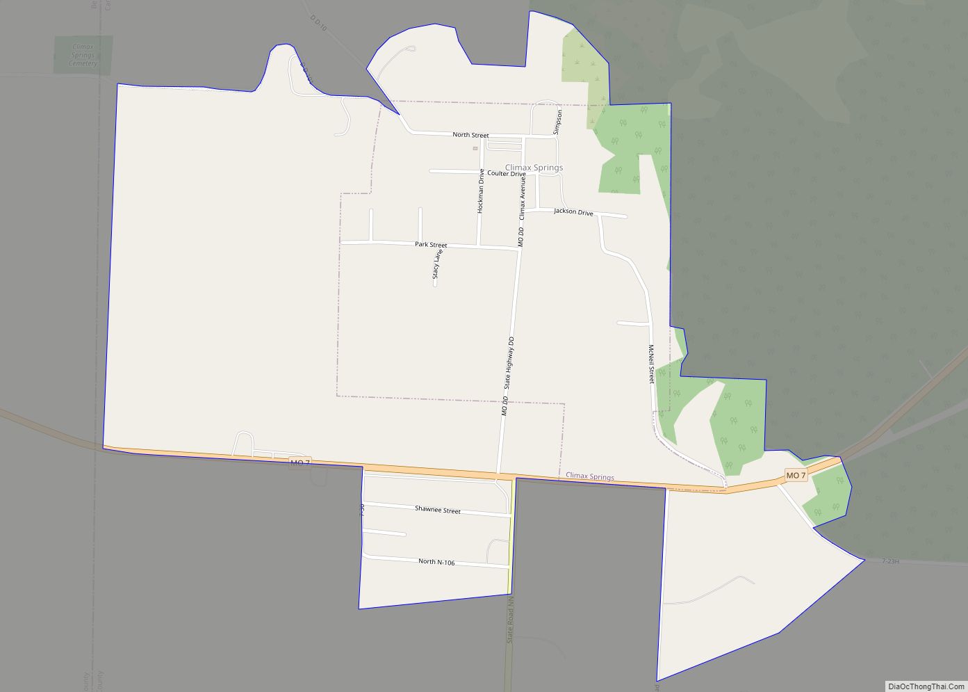
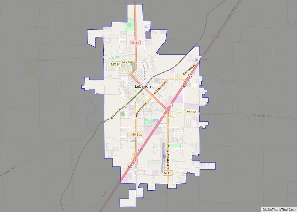
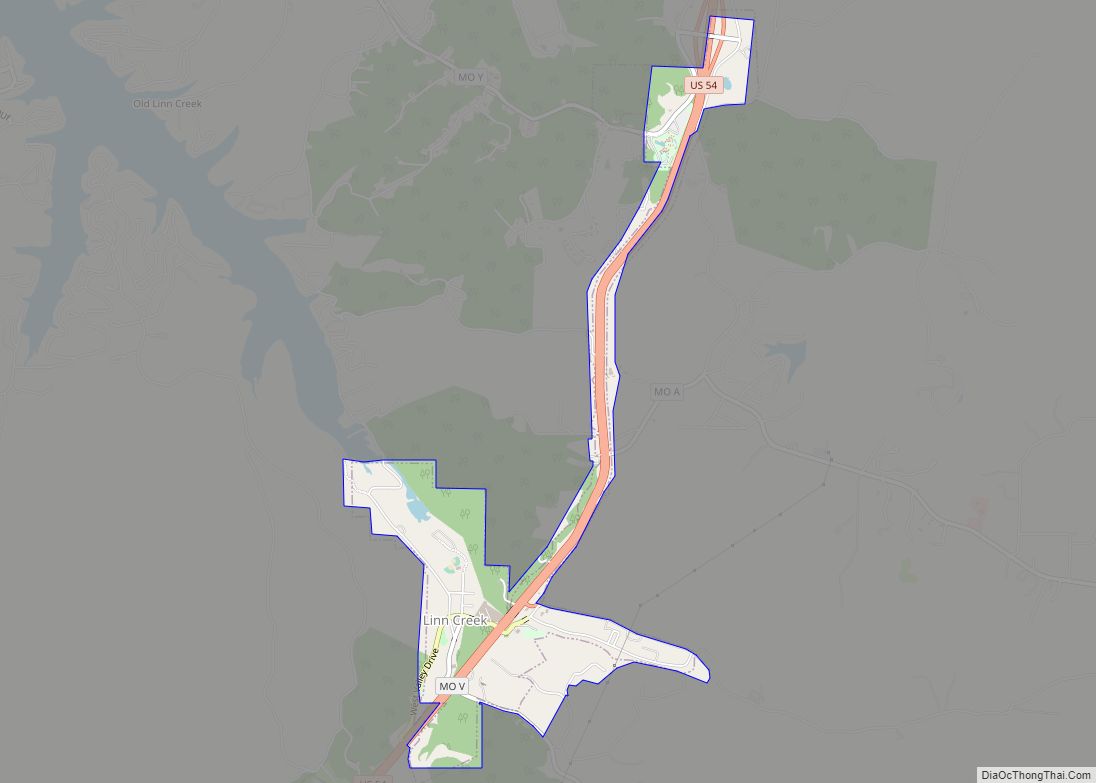
Online Interactive Map
Click on ![]() to view map in "full screen" mode.
to view map in "full screen" mode.
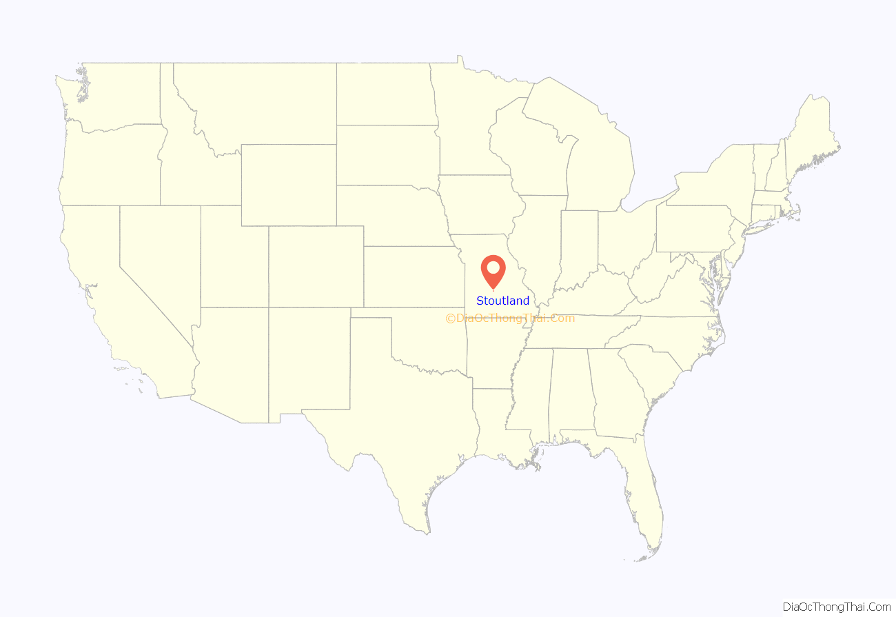
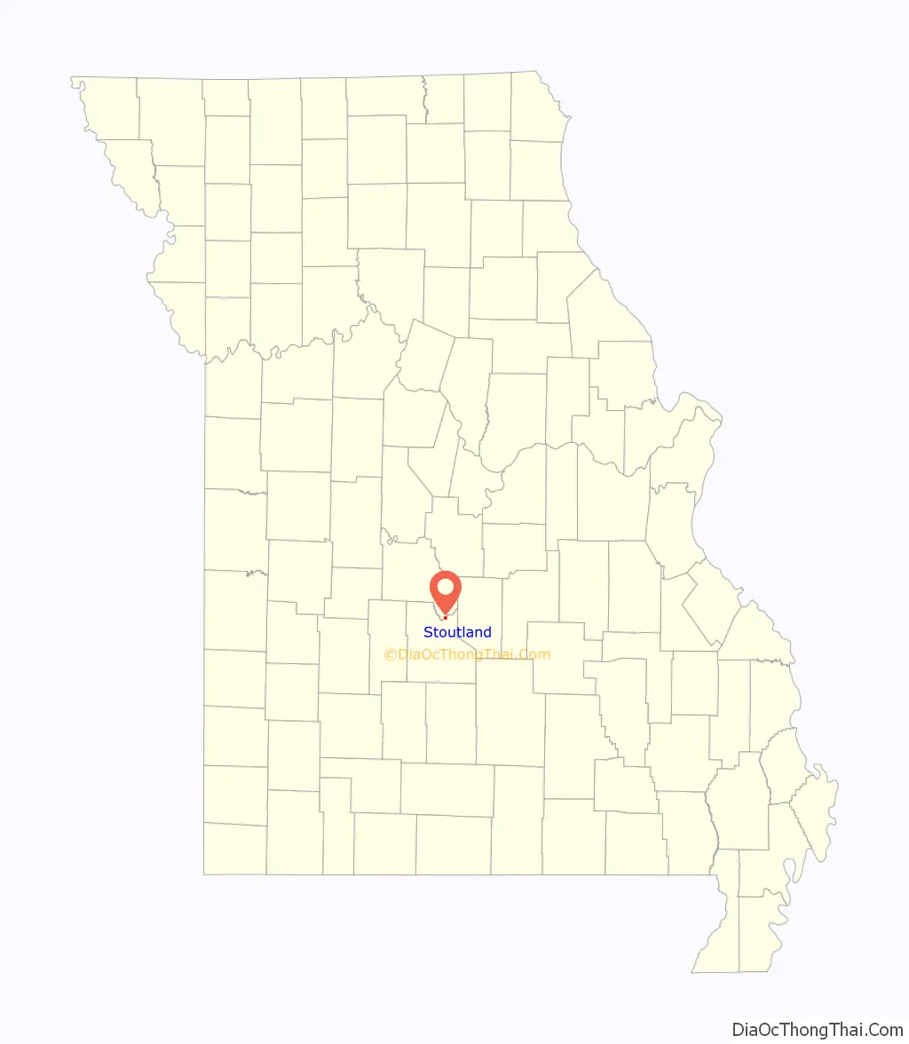
Stoutland location map. Where is Stoutland city?
History
The first settlement at Stoutland was made in 1869. A post office called Stoutland has been in operation since 1870. The village was named after Captain Stout, a railroad official.
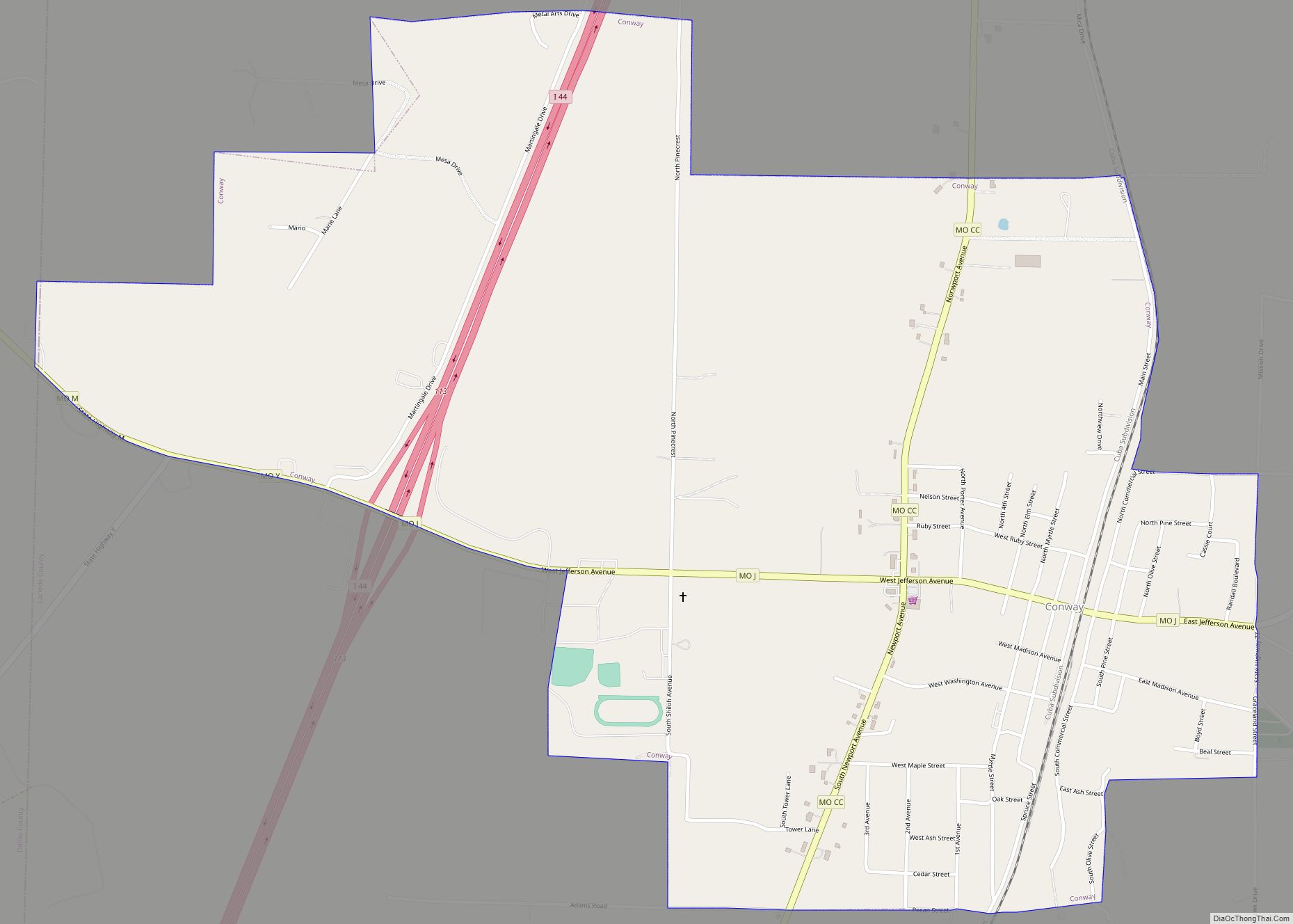
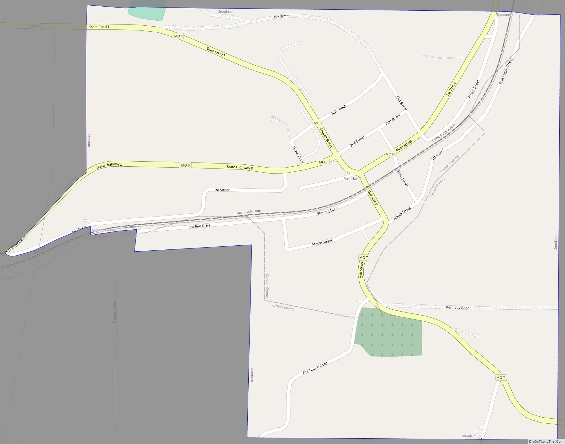
Stoutland Road Map
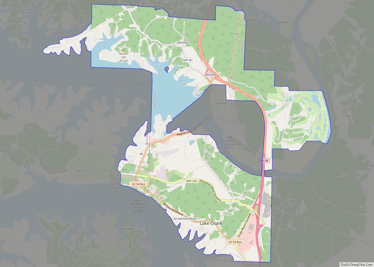
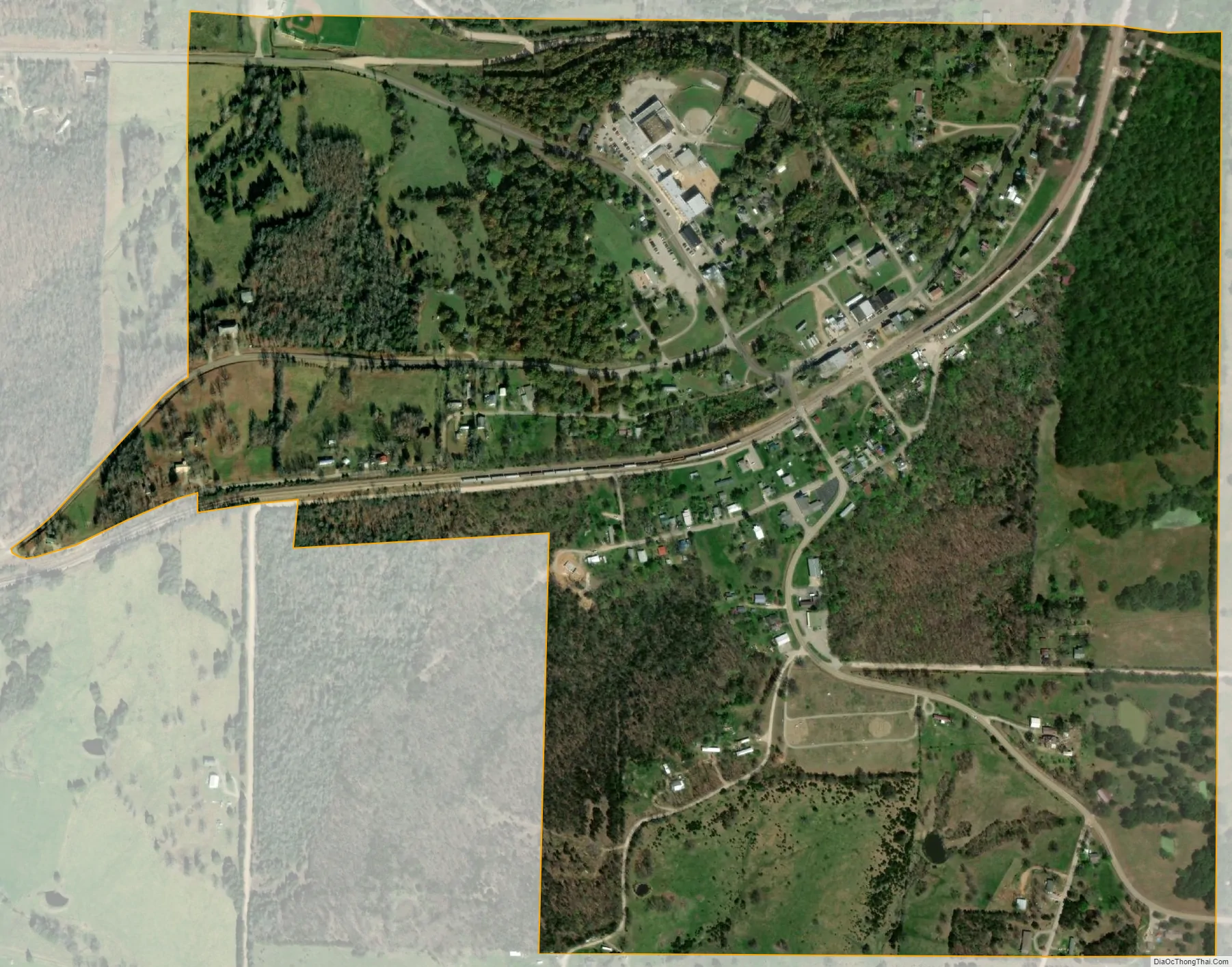
Stoutland city Satellite Map
Geography
Stoutland is located on the Camden-Laclede county line at the intersection of Missouri routes T and F. Richland is approximately 6.5 miles to the northeast in Pulaski County and Sleeper in about 5.5 miles to the southwest in Laclede County. Bear Creek flows past about two miles to the southeast and the Gasconade River is one mile further south.
According to the United States Census Bureau, the city has a total area of 0.60 square miles (1.55 km), all land.
See also
Map of Missouri State and its subdivision:- Adair
- Andrew
- Atchison
- Audrain
- Barry
- Barton
- Bates
- Benton
- Bollinger
- Boone
- Buchanan
- Butler
- Caldwell
- Callaway
- Camden
- Cape Girardeau
- Carroll
- Carter
- Cass
- Cedar
- Chariton
- Christian
- Clark
- Clay
- Clinton
- Cole
- Cooper
- Crawford
- Dade
- Dallas
- Daviess
- De Kalb
- Dent
- Douglas
- Dunklin
- Franklin
- Gasconade
- Gentry
- Greene
- Grundy
- Harrison
- Henry
- Hickory
- Holt
- Howard
- Howell
- Iron
- Jackson
- Jasper
- Jefferson
- Johnson
- Knox
- Laclede
- Lafayette
- Lawrence
- Lewis
- Lincoln
- Linn
- Livingston
- Macon
- Madison
- Maries
- Marion
- McDonald
- Mercer
- Miller
- Mississippi
- Moniteau
- Monroe
- Montgomery
- Morgan
- New Madrid
- Newton
- Nodaway
- Oregon
- Osage
- Ozark
- Pemiscot
- Perry
- Pettis
- Phelps
- Pike
- Platte
- Polk
- Pulaski
- Putnam
- Ralls
- Randolph
- Ray
- Reynolds
- Ripley
- Saint Charles
- Saint Clair
- Saint Francois
- Saint Louis
- Sainte Genevieve
- Saline
- Schuyler
- Scotland
- Scott
- Shannon
- Shelby
- Stoddard
- Stone
- Sullivan
- Taney
- Texas
- Vernon
- Warren
- Washington
- Wayne
- Webster
- Worth
- Wright
- Alabama
- Alaska
- Arizona
- Arkansas
- California
- Colorado
- Connecticut
- Delaware
- District of Columbia
- Florida
- Georgia
- Hawaii
- Idaho
- Illinois
- Indiana
- Iowa
- Kansas
- Kentucky
- Louisiana
- Maine
- Maryland
- Massachusetts
- Michigan
- Minnesota
- Mississippi
- Missouri
- Montana
- Nebraska
- Nevada
- New Hampshire
- New Jersey
- New Mexico
- New York
- North Carolina
- North Dakota
- Ohio
- Oklahoma
- Oregon
- Pennsylvania
- Rhode Island
- South Carolina
- South Dakota
- Tennessee
- Texas
- Utah
- Vermont
- Virginia
- Washington
- West Virginia
- Wisconsin
- Wyoming