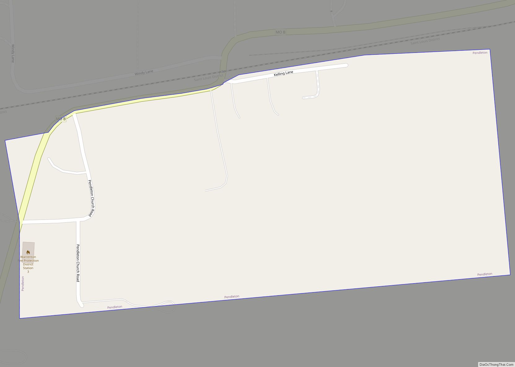
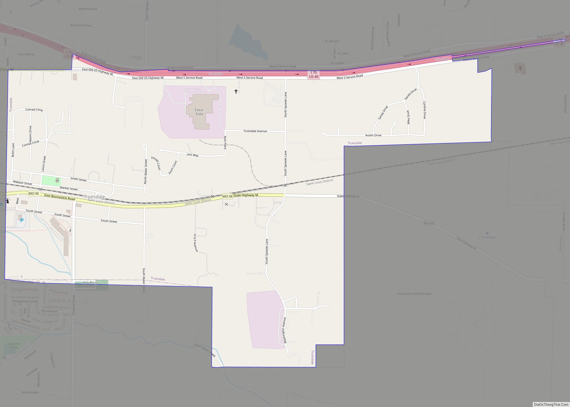
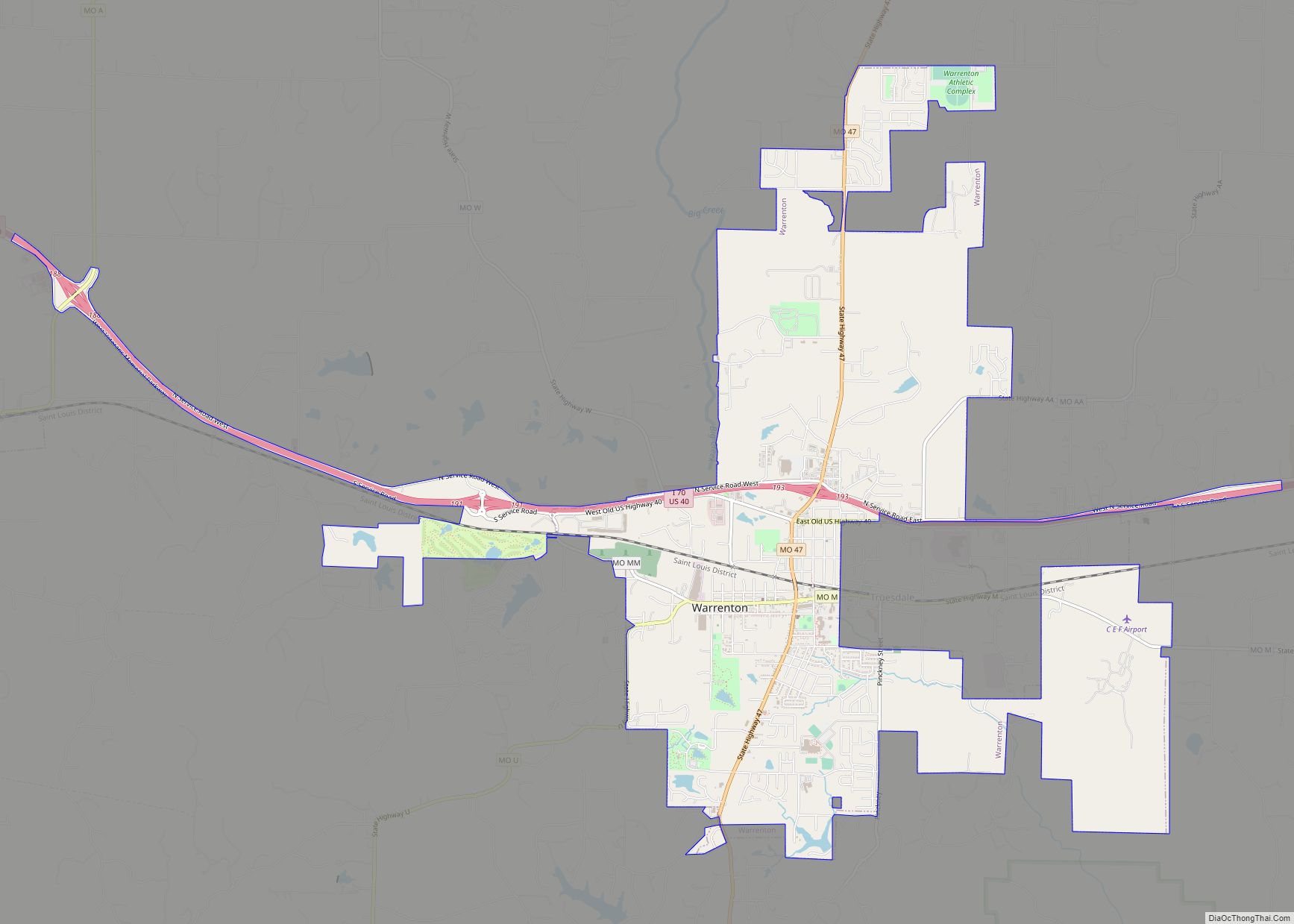
Truesdale is a city in Warren County, Missouri, United States. It is directly adjacent to the east of Warrenton and is part of the St. Louis MSA. The population was 732 according to the 2010 Census.
| Name: | Truesdale city |
|---|---|
| LSAD Code: | 25 |
| LSAD Description: | city (suffix) |
| State: | Missouri |
| County: | Warren County |
| Elevation: | 860 ft (262 m) |
| Total Area: | 1.30 sq mi (3.35 km²) |
| Land Area: | 1.28 sq mi (3.32 km²) |
| Water Area: | 0.01 sq mi (0.04 km²) |
| Total Population: | 853 |
| Population Density: | 665.89/sq mi (257.18/km²) |
| ZIP code: | 63380 |
| Area code: | 636 |
| FIPS code: | 2973978 |
| GNISfeature ID: | 0740024 |
Online Interactive Map
Click on ![]() to view map in "full screen" mode.
to view map in "full screen" mode.
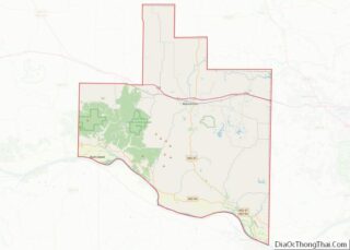
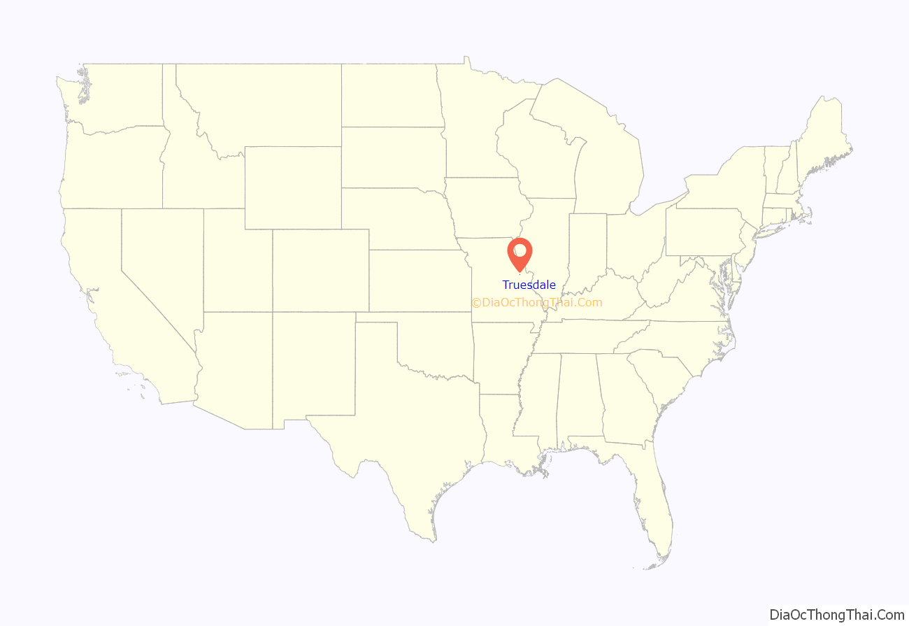
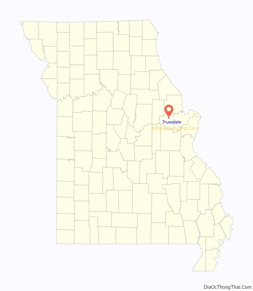
Truesdale location map. Where is Truesdale city?
History
Truesdale was laid out in 1857 when the railroad was extended to that point. The community has the name of William Truesdale, a railroad man. Variant names were “Truesdail” and “Truesdaile”. A post office called Truesdail was established in 1889, and remained in operation until 1979.
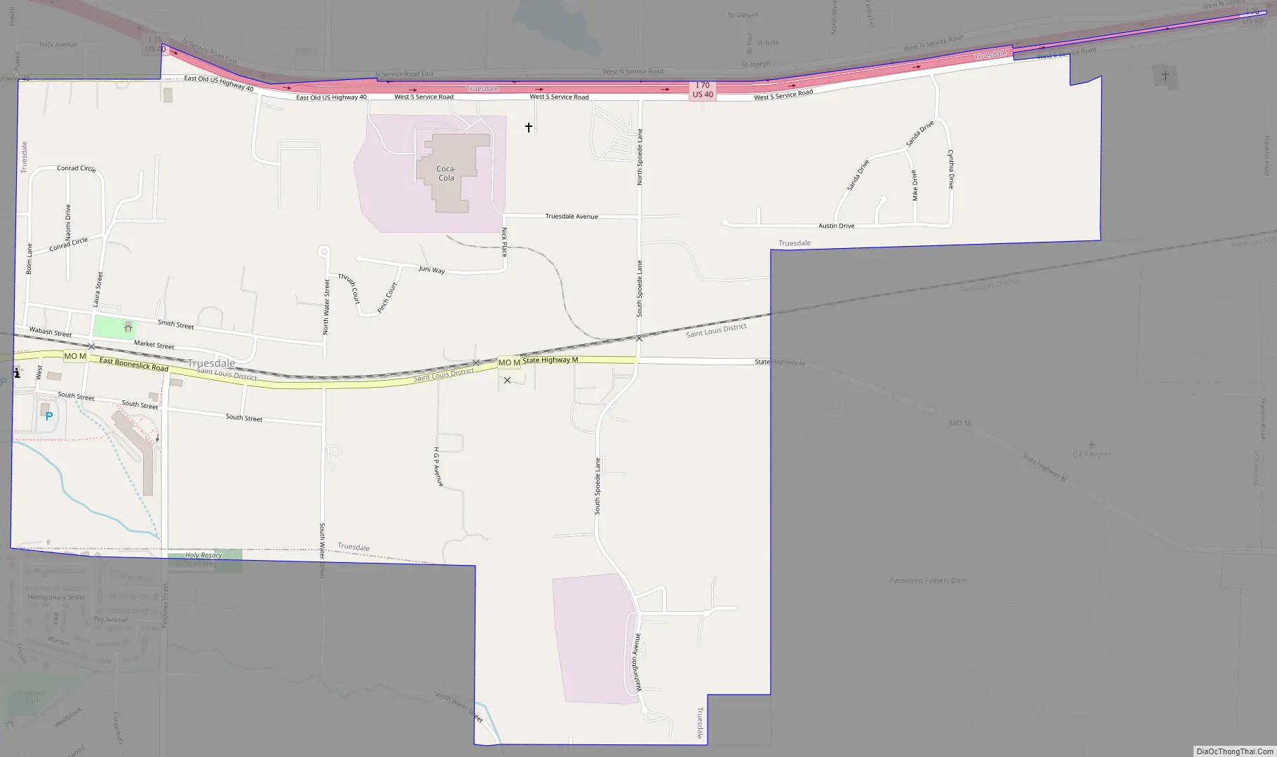
Truesdale Road Map
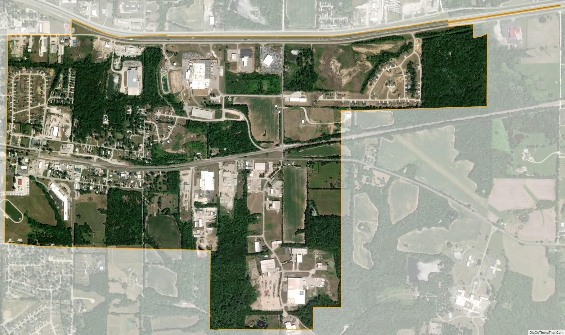
Truesdale city Satellite Map
Geography
Truesdale is located at 38°48′38″N 91°7′41″W / 38.81056°N 91.12806°W / 38.81056; -91.12806 (38.810499, -91.128194).
According to the United States Census Bureau, the city has a total area of 1.29 square miles (3.34 km), of which 1.27 square miles (3.29 km) is land and 0.02 square miles (0.05 km) is water.
See also
Map of Missouri State and its subdivision:- Adair
- Andrew
- Atchison
- Audrain
- Barry
- Barton
- Bates
- Benton
- Bollinger
- Boone
- Buchanan
- Butler
- Caldwell
- Callaway
- Camden
- Cape Girardeau
- Carroll
- Carter
- Cass
- Cedar
- Chariton
- Christian
- Clark
- Clay
- Clinton
- Cole
- Cooper
- Crawford
- Dade
- Dallas
- Daviess
- De Kalb
- Dent
- Douglas
- Dunklin
- Franklin
- Gasconade
- Gentry
- Greene
- Grundy
- Harrison
- Henry
- Hickory
- Holt
- Howard
- Howell
- Iron
- Jackson
- Jasper
- Jefferson
- Johnson
- Knox
- Laclede
- Lafayette
- Lawrence
- Lewis
- Lincoln
- Linn
- Livingston
- Macon
- Madison
- Maries
- Marion
- McDonald
- Mercer
- Miller
- Mississippi
- Moniteau
- Monroe
- Montgomery
- Morgan
- New Madrid
- Newton
- Nodaway
- Oregon
- Osage
- Ozark
- Pemiscot
- Perry
- Pettis
- Phelps
- Pike
- Platte
- Polk
- Pulaski
- Putnam
- Ralls
- Randolph
- Ray
- Reynolds
- Ripley
- Saint Charles
- Saint Clair
- Saint Francois
- Saint Louis
- Sainte Genevieve
- Saline
- Schuyler
- Scotland
- Scott
- Shannon
- Shelby
- Stoddard
- Stone
- Sullivan
- Taney
- Texas
- Vernon
- Warren
- Washington
- Wayne
- Webster
- Worth
- Wright
- Alabama
- Alaska
- Arizona
- Arkansas
- California
- Colorado
- Connecticut
- Delaware
- District of Columbia
- Florida
- Georgia
- Hawaii
- Idaho
- Illinois
- Indiana
- Iowa
- Kansas
- Kentucky
- Louisiana
- Maine
- Maryland
- Massachusetts
- Michigan
- Minnesota
- Mississippi
- Missouri
- Montana
- Nebraska
- Nevada
- New Hampshire
- New Jersey
- New Mexico
- New York
- North Carolina
- North Dakota
- Ohio
- Oklahoma
- Oregon
- Pennsylvania
- Rhode Island
- South Carolina
- South Dakota
- Tennessee
- Texas
- Utah
- Vermont
- Virginia
- Washington
- West Virginia
- Wisconsin
- Wyoming