Wardell is a city in Pemiscot County, Missouri, United States. The population was 310 at the 2020 census. It annexed North Wardell in 2007.
| Name: | Wardell town |
|---|---|
| LSAD Code: | 43 |
| LSAD Description: | town (suffix) |
| State: | Missouri |
| County: | Pemiscot County |
| Elevation: | 269 ft (82 m) |
| Total Area: | 0.28 sq mi (0.74 km²) |
| Land Area: | 0.28 sq mi (0.73 km²) |
| Water Area: | 0.00 sq mi (0.01 km²) |
| Total Population: | 310 |
| Population Density: | 1,099.29/sq mi (423.75/km²) |
| ZIP code: | 63879 |
| Area code: | 573 |
| FIPS code: | 2976966 |
| GNISfeature ID: | 2397722 |
Online Interactive Map
Click on ![]() to view map in "full screen" mode.
to view map in "full screen" mode.
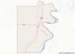
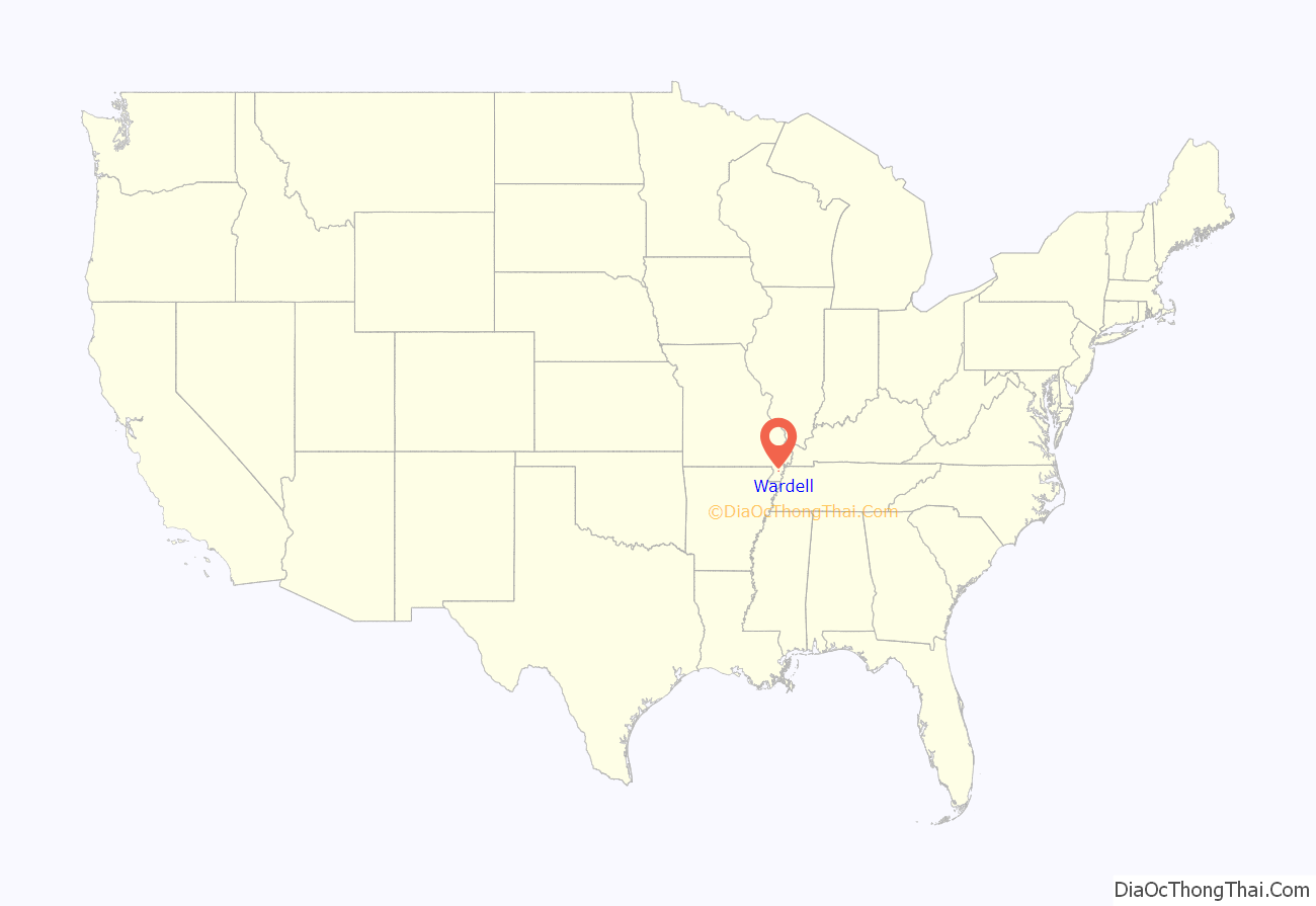
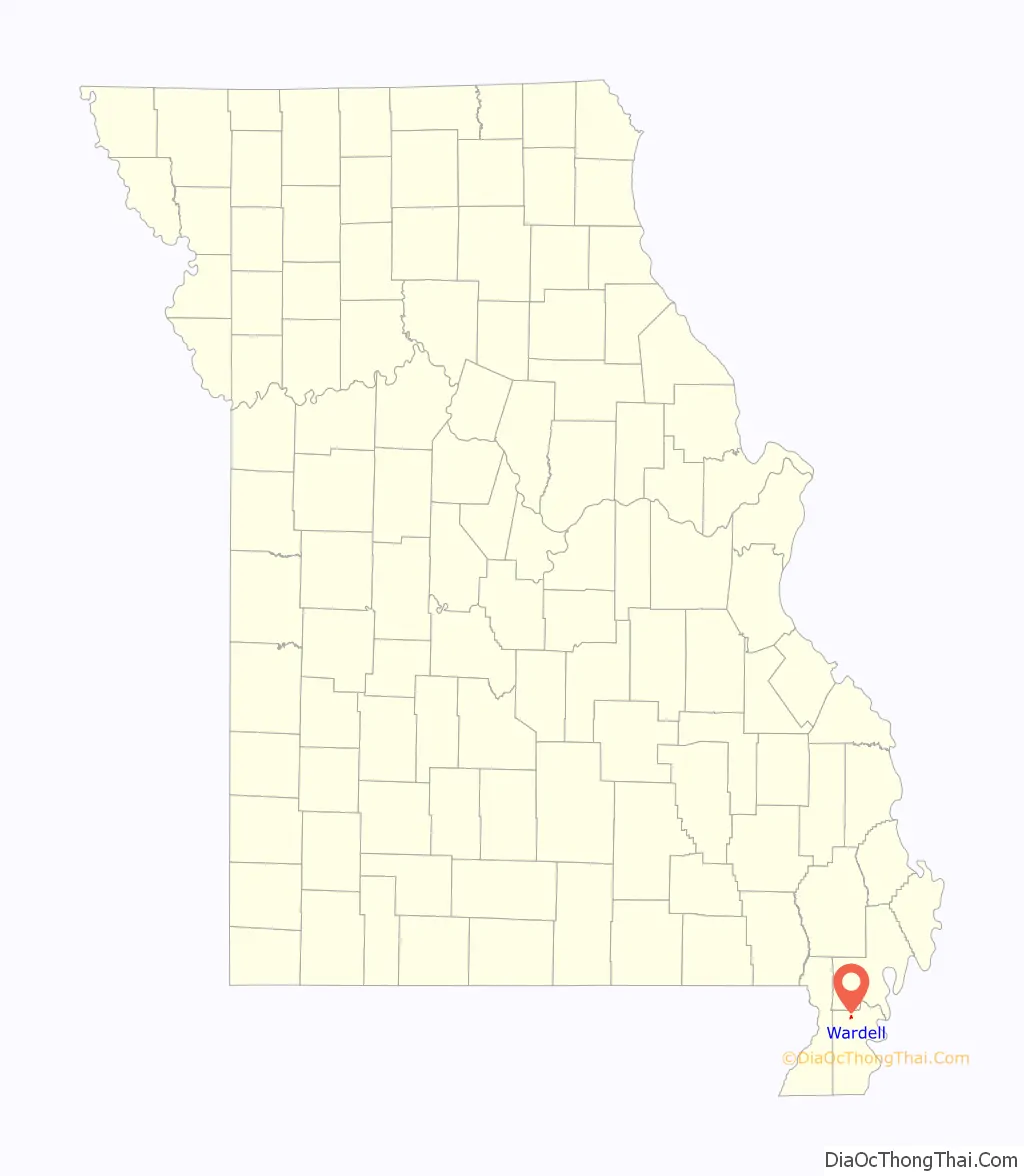
Wardell location map. Where is Wardell town?
History
A post office called Wardell has been in operation since 1902. The community’s name is derived from the last name of R. L. Warren, an early citizen, and a dell near the original town site.
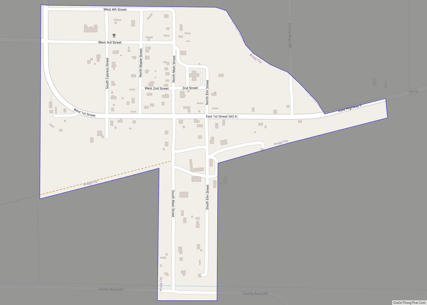
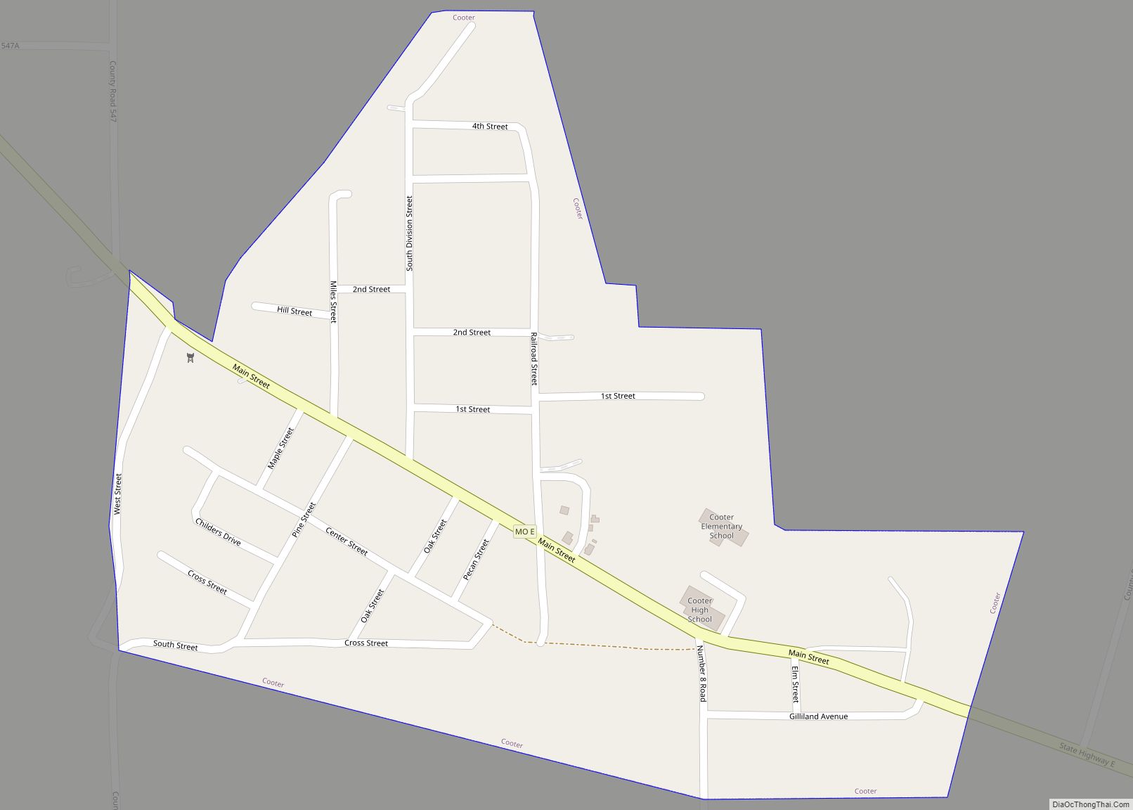
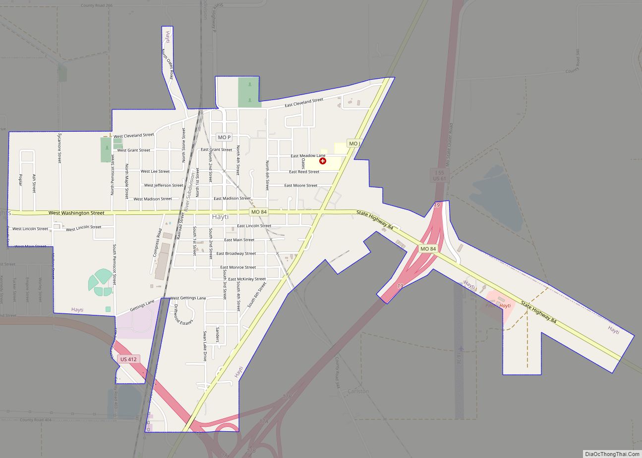
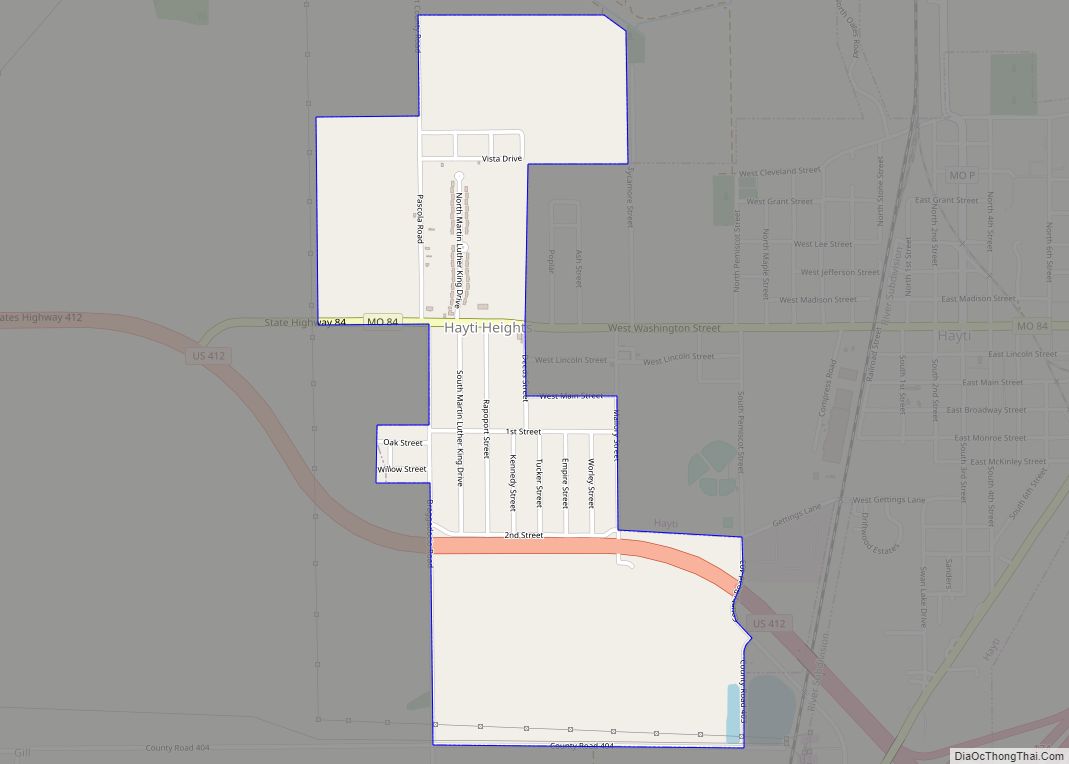
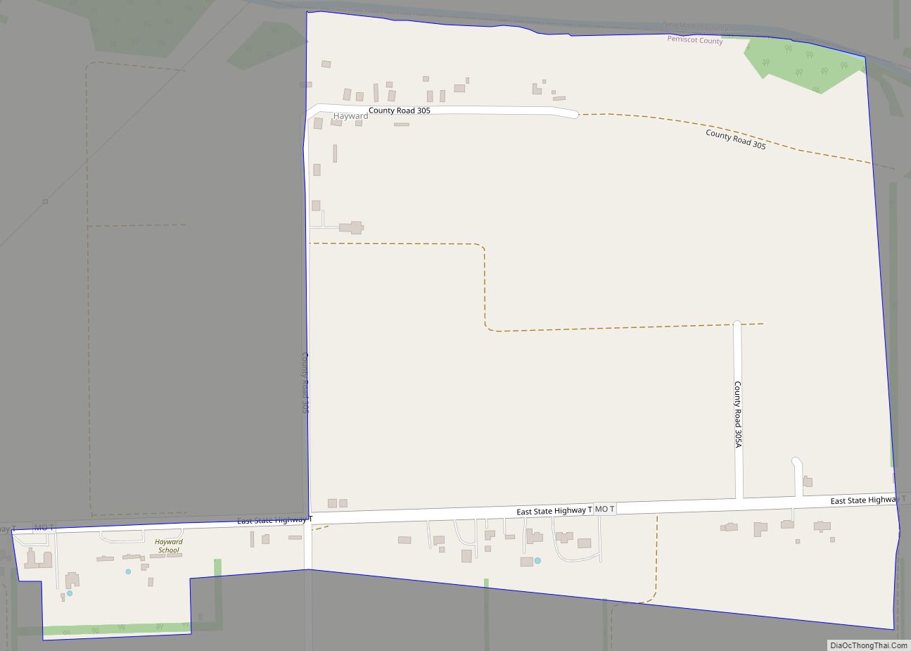
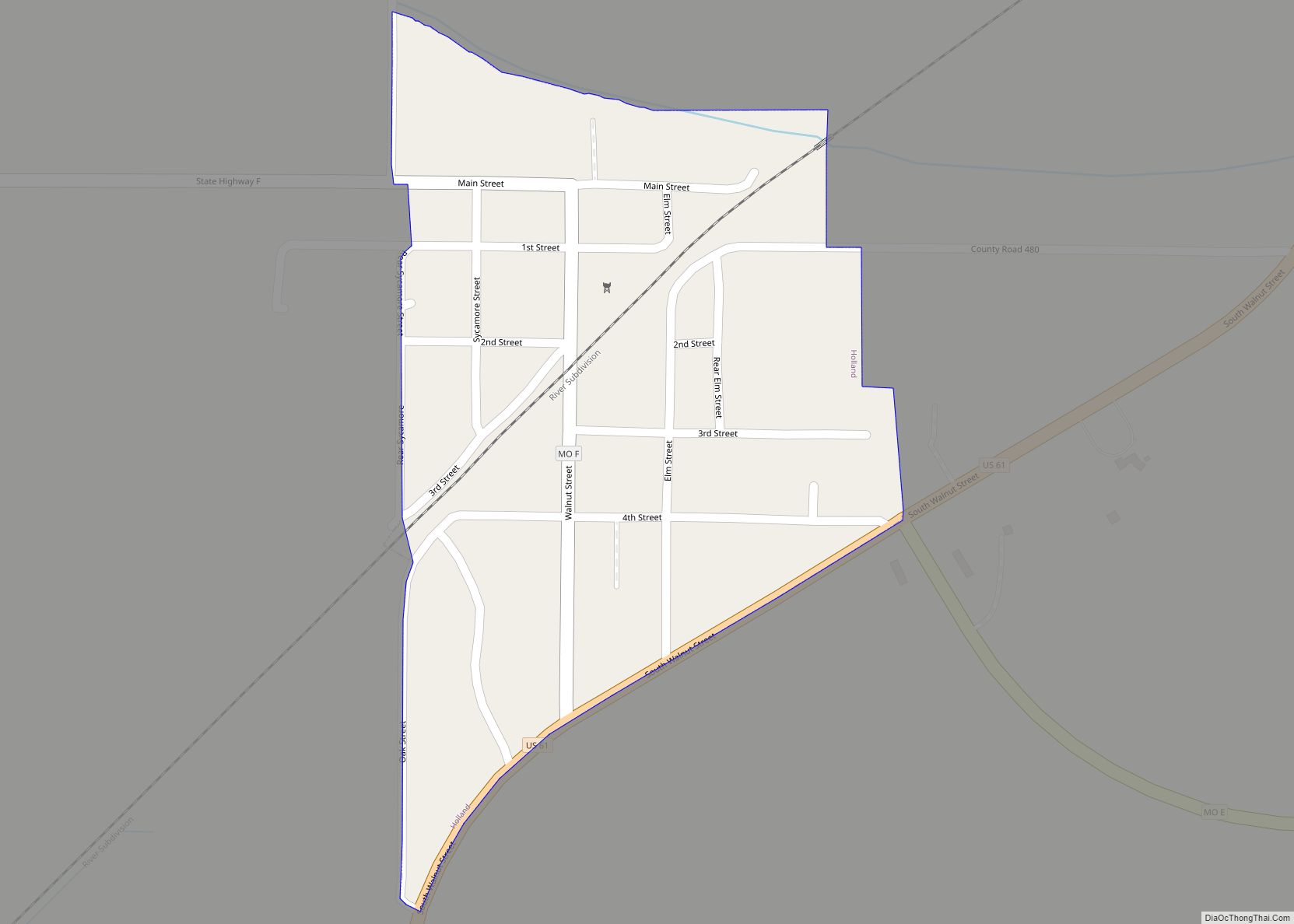
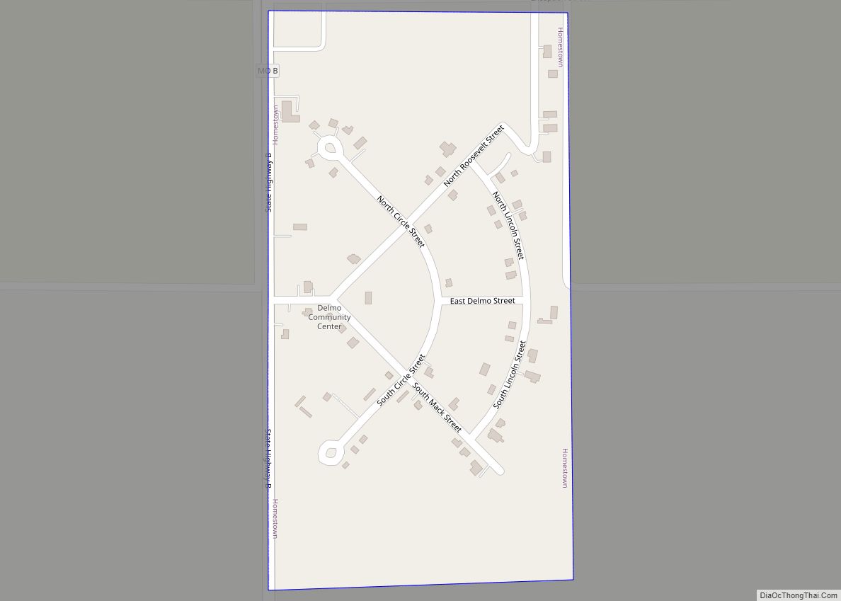
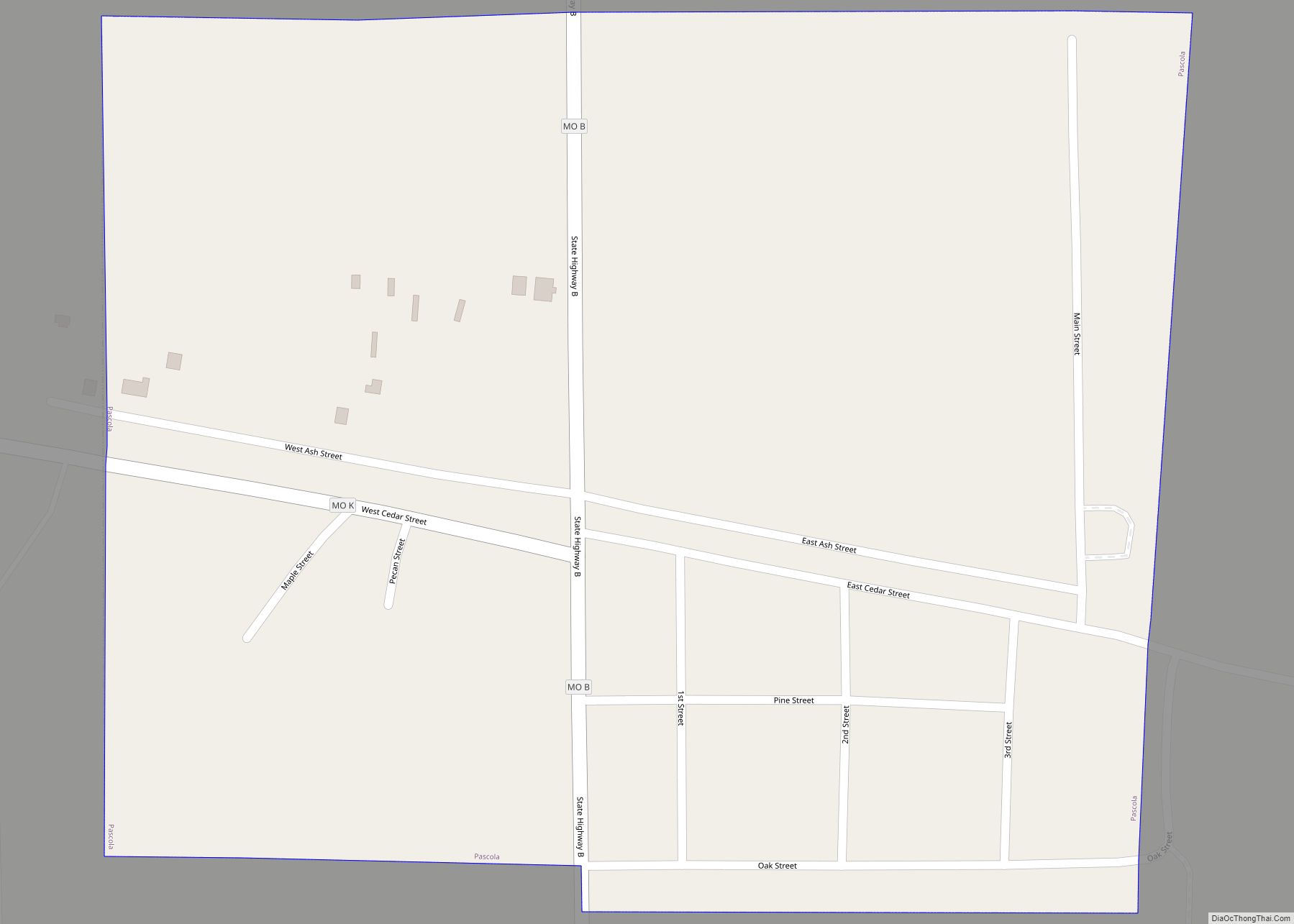
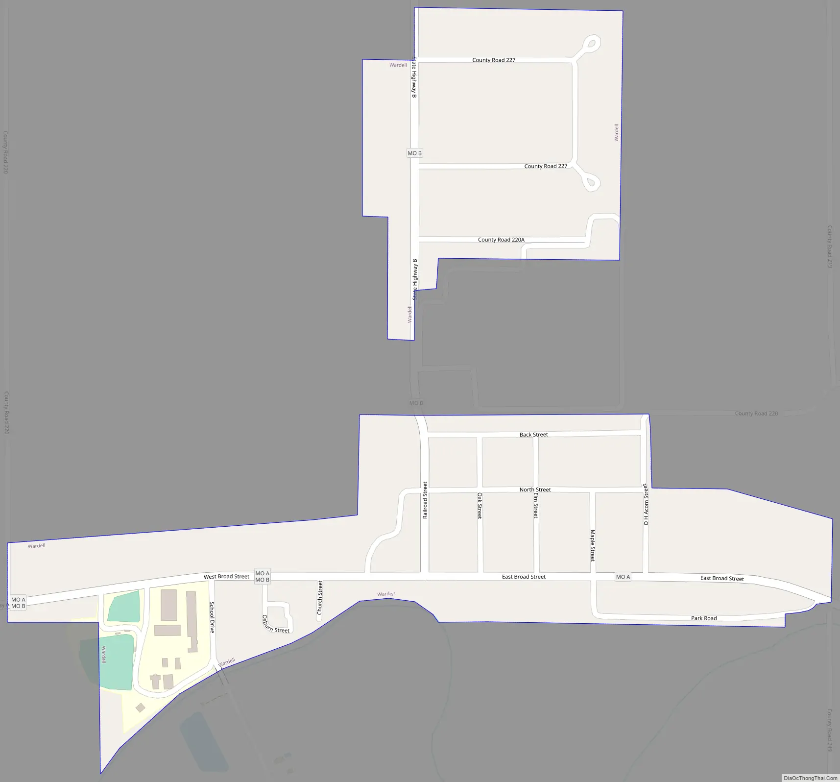
Wardell Road Map
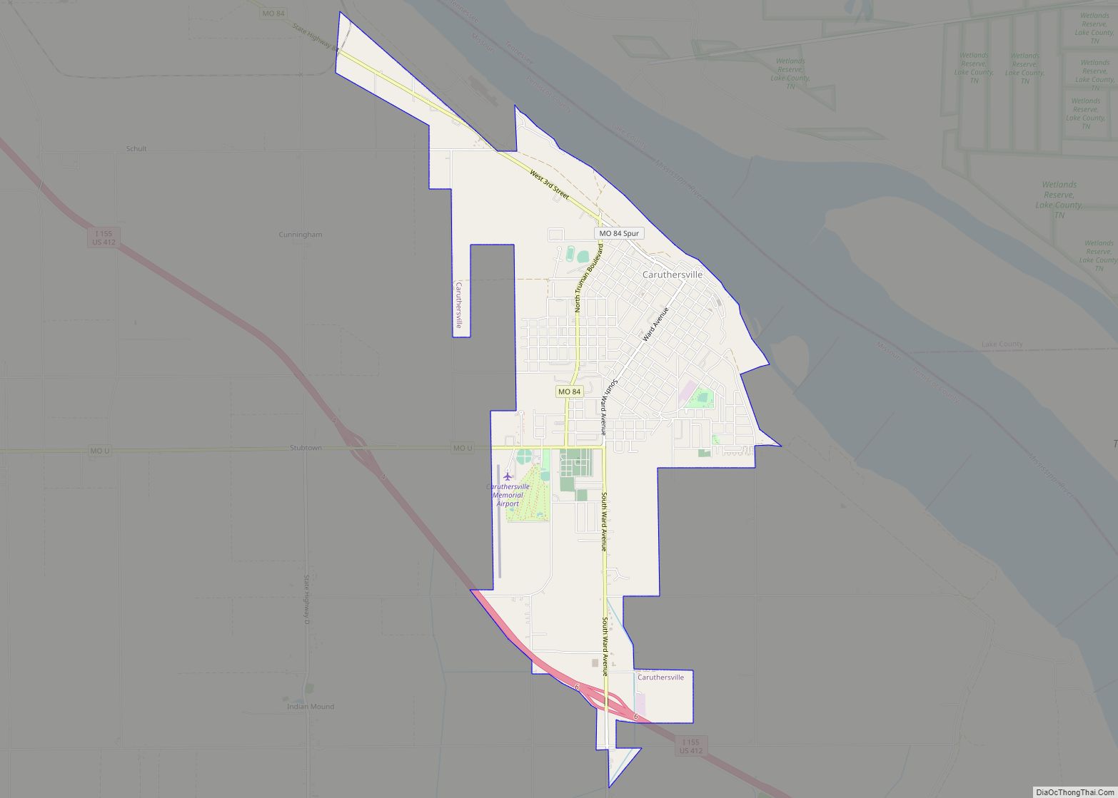
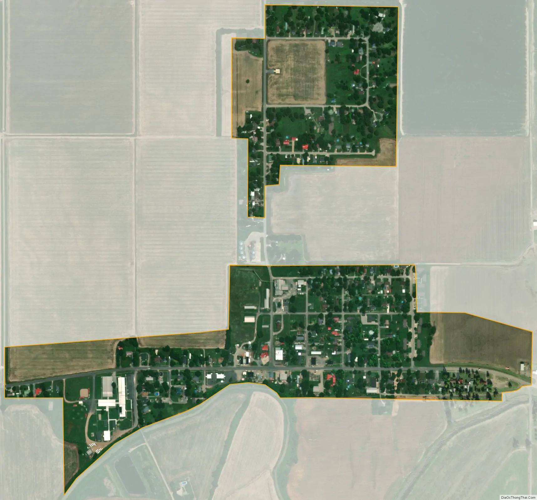
Wardell city Satellite Map
Geography
The city lies in northern Pemiscot County at the intersection of State Route A and State Route B. The former road connects Wardell with Bragg City to the southwest and Interstate 55 to the east, while the latter road connects Wardell with Homestown and Pascola to the south. Little River flows through the city.
According to the United States Census Bureau, the city has a total area of 0.28 square miles (0.73 km), all land.
See also
Map of Missouri State and its subdivision:- Adair
- Andrew
- Atchison
- Audrain
- Barry
- Barton
- Bates
- Benton
- Bollinger
- Boone
- Buchanan
- Butler
- Caldwell
- Callaway
- Camden
- Cape Girardeau
- Carroll
- Carter
- Cass
- Cedar
- Chariton
- Christian
- Clark
- Clay
- Clinton
- Cole
- Cooper
- Crawford
- Dade
- Dallas
- Daviess
- De Kalb
- Dent
- Douglas
- Dunklin
- Franklin
- Gasconade
- Gentry
- Greene
- Grundy
- Harrison
- Henry
- Hickory
- Holt
- Howard
- Howell
- Iron
- Jackson
- Jasper
- Jefferson
- Johnson
- Knox
- Laclede
- Lafayette
- Lawrence
- Lewis
- Lincoln
- Linn
- Livingston
- Macon
- Madison
- Maries
- Marion
- McDonald
- Mercer
- Miller
- Mississippi
- Moniteau
- Monroe
- Montgomery
- Morgan
- New Madrid
- Newton
- Nodaway
- Oregon
- Osage
- Ozark
- Pemiscot
- Perry
- Pettis
- Phelps
- Pike
- Platte
- Polk
- Pulaski
- Putnam
- Ralls
- Randolph
- Ray
- Reynolds
- Ripley
- Saint Charles
- Saint Clair
- Saint Francois
- Saint Louis
- Sainte Genevieve
- Saline
- Schuyler
- Scotland
- Scott
- Shannon
- Shelby
- Stoddard
- Stone
- Sullivan
- Taney
- Texas
- Vernon
- Warren
- Washington
- Wayne
- Webster
- Worth
- Wright
- Alabama
- Alaska
- Arizona
- Arkansas
- California
- Colorado
- Connecticut
- Delaware
- District of Columbia
- Florida
- Georgia
- Hawaii
- Idaho
- Illinois
- Indiana
- Iowa
- Kansas
- Kentucky
- Louisiana
- Maine
- Maryland
- Massachusetts
- Michigan
- Minnesota
- Mississippi
- Missouri
- Montana
- Nebraska
- Nevada
- New Hampshire
- New Jersey
- New Mexico
- New York
- North Carolina
- North Dakota
- Ohio
- Oklahoma
- Oregon
- Pennsylvania
- Rhode Island
- South Carolina
- South Dakota
- Tennessee
- Texas
- Utah
- Vermont
- Virginia
- Washington
- West Virginia
- Wisconsin
- Wyoming