Winston is a village in southwestern Daviess County, Missouri, United States. The population was 229 at the 2020 census.
| Name: | Winston village |
|---|---|
| LSAD Code: | 47 |
| LSAD Description: | village (suffix) |
| State: | Missouri |
| County: | Daviess County |
| Elevation: | 1,053 ft (321 m) |
| Total Area: | 0.31 sq mi (0.80 km²) |
| Land Area: | 0.31 sq mi (0.80 km²) |
| Water Area: | 0.00 sq mi (0.00 km²) |
| Total Population: | 229 |
| Population Density: | 743.51/sq mi (286.85/km²) |
| ZIP code: | 64689 |
| Area code: | 660 |
| FIPS code: | 2980548 |
| GNISfeature ID: | 2399723 |
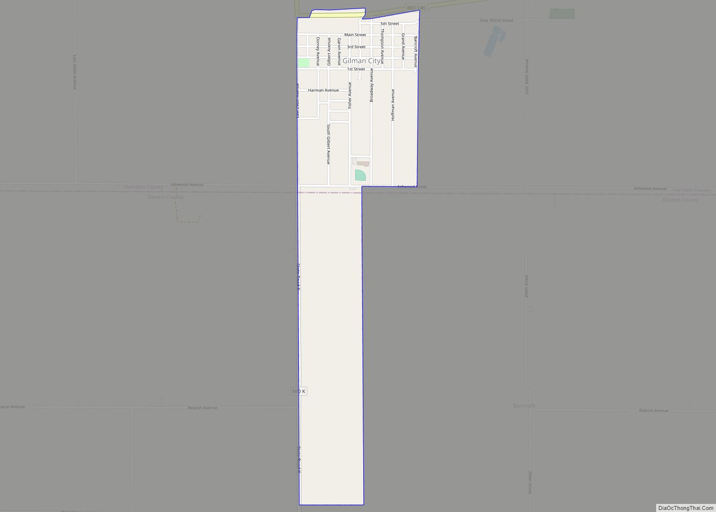
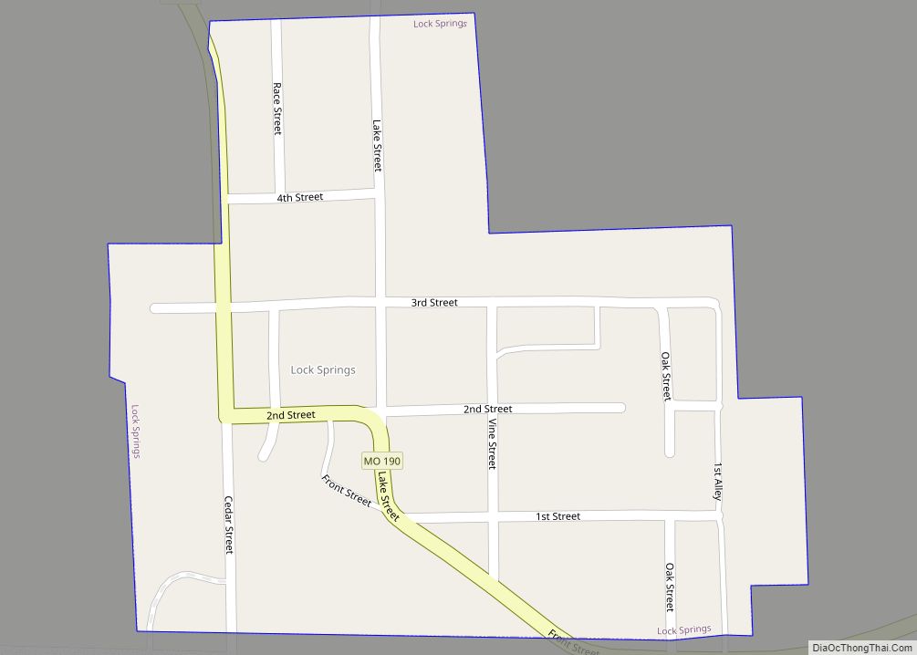
Online Interactive Map
Click on ![]() to view map in "full screen" mode.
to view map in "full screen" mode.
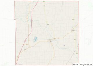
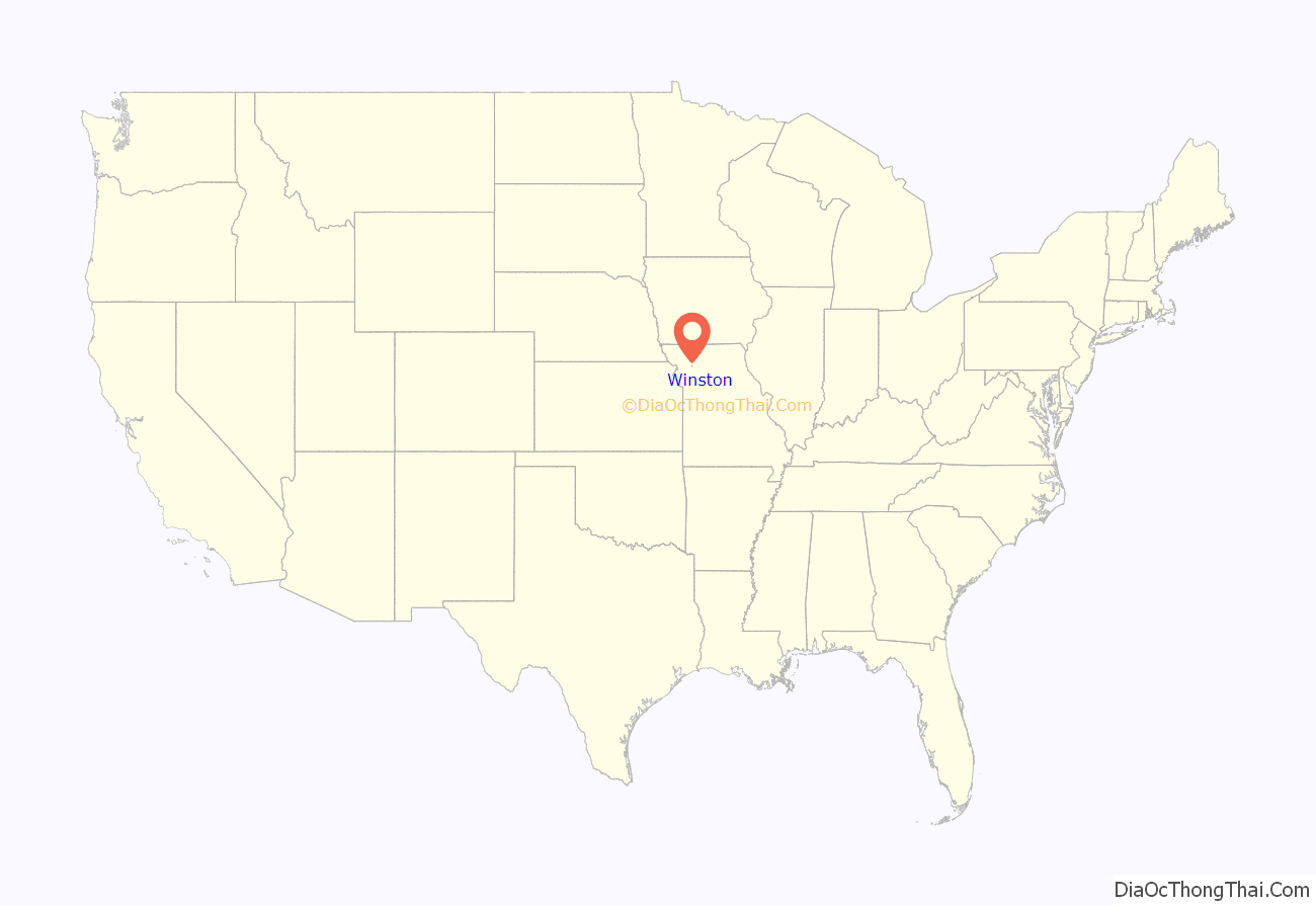
Winston location map. Where is Winston village?
History
Winston was originally called Crofton’s Depot, and under the latter name was laid out in 1871 when the railroad was extended to that point. Other early variant names were “Winstonville” and “Emporia”. The present name is after F. K. Winston, a railroad official. A post office called Winstonville was established in 1872, the name was changed to Emporia in 1879, and changed once more to Winston in 1885.
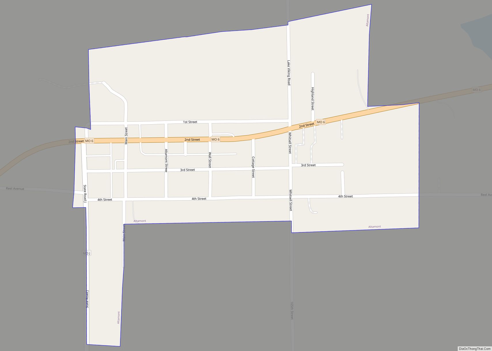
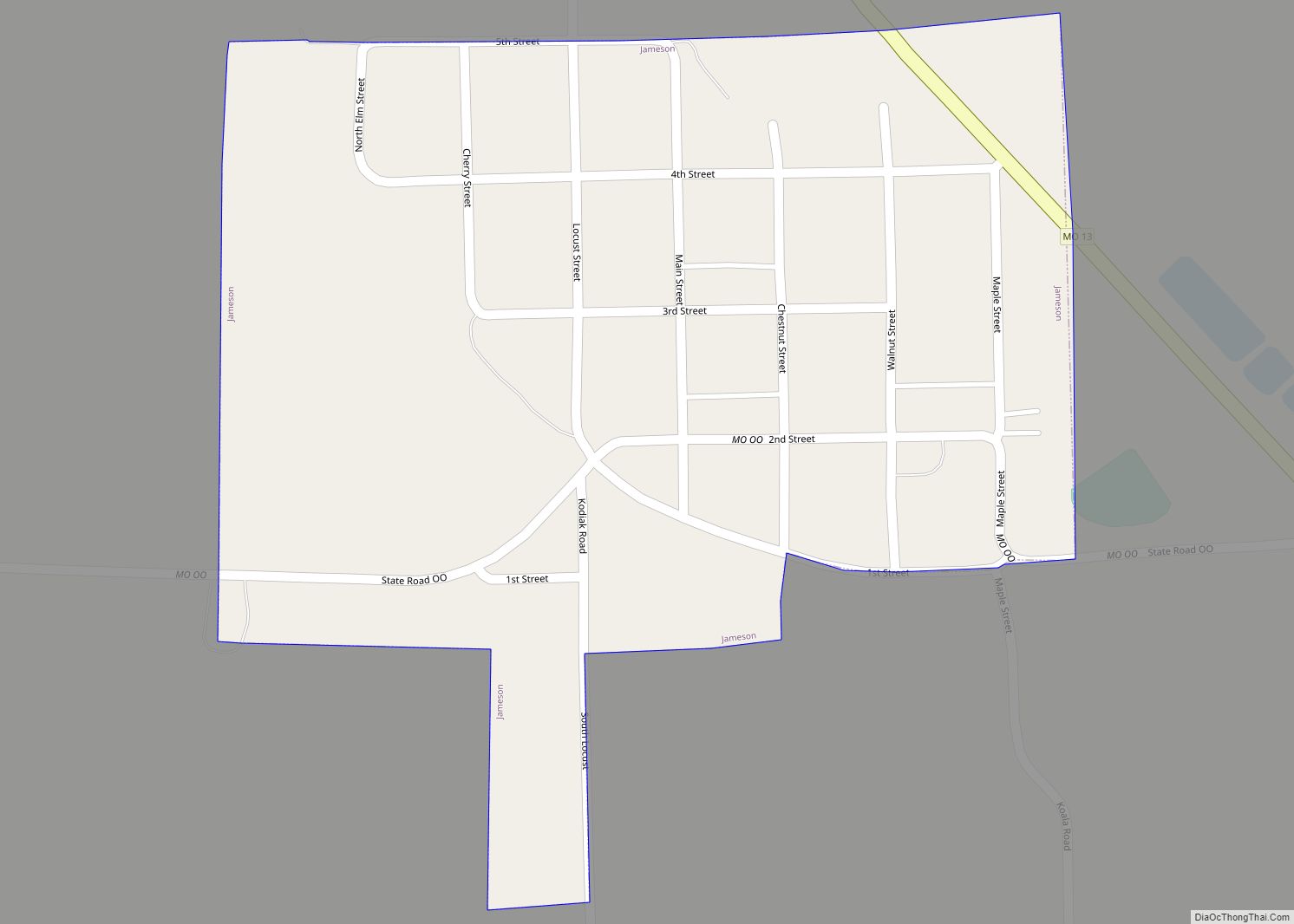
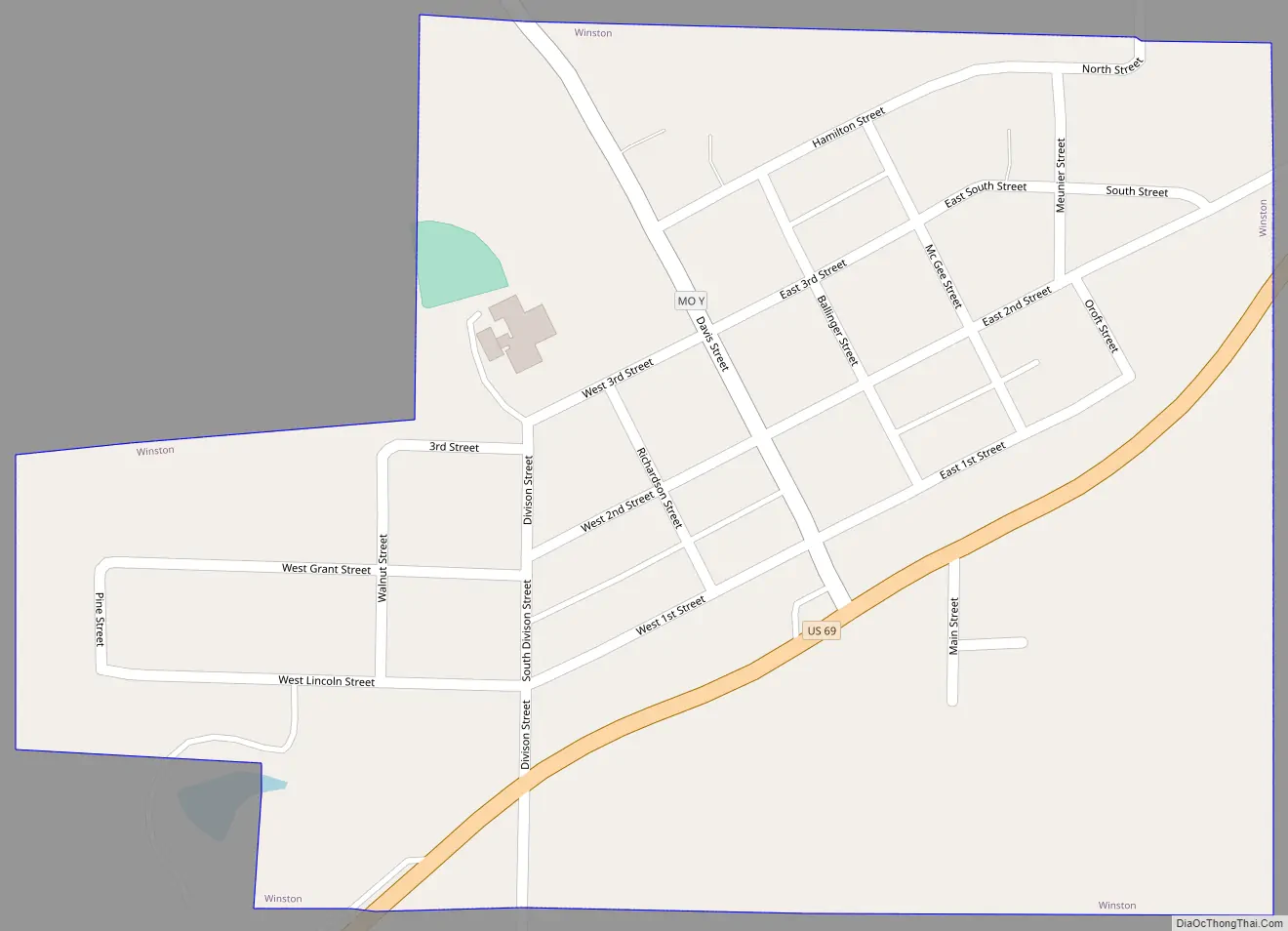
Winston Road Map
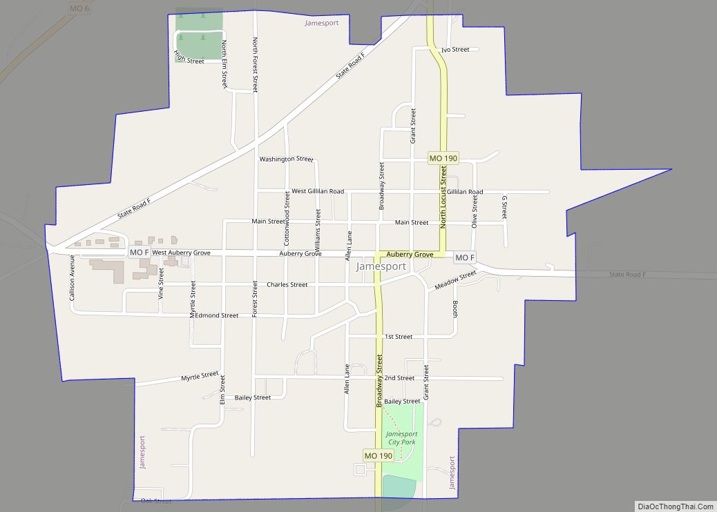
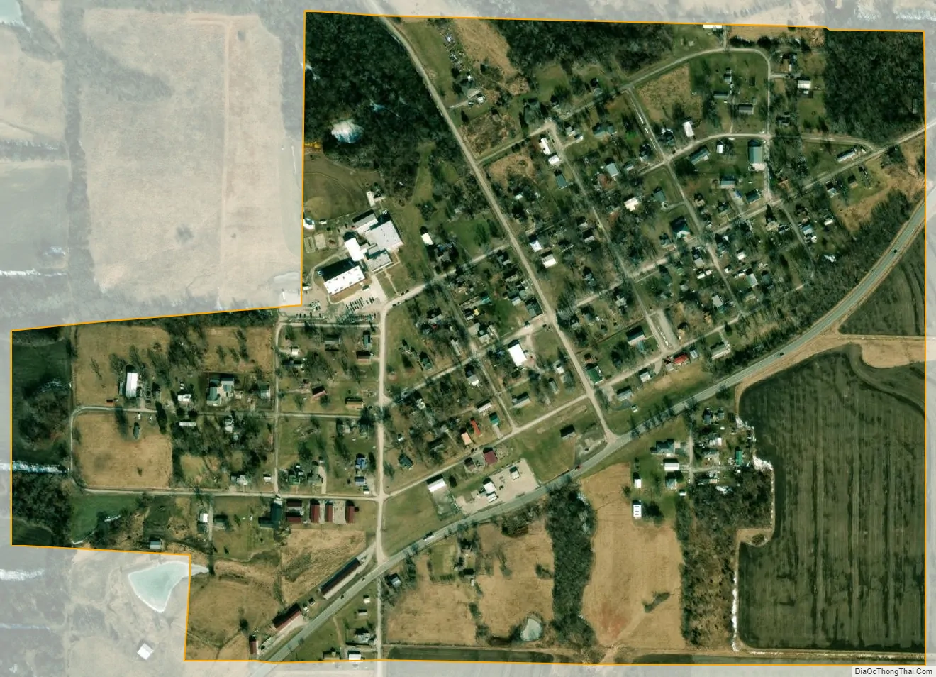
Winston city Satellite Map
Geography
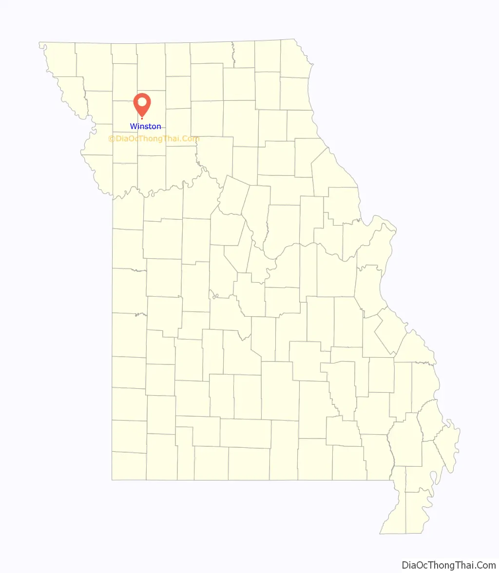
Winston is located in southwest Daviess County on US Route 69. Gallatin is approximately ten miles to the east along Route 69 and Cameron is ten miles to the southwest in the northeastern corner of Clinton County.
According to the United States Census Bureau, the village has a total area of 0.31 square miles (0.80 km), all land.
Climate
Winston has a humid continental climate with very cold, snowy winters, and warm-to-hot, wet and humid summers in which much of the seasonal precipitation falls as thunderstorms. The hottest recorded temperature is 106 °F on August 19, 2003, while the record low temperature is −23 °F on December 23, 1989. Temperatures drop below freezing (32 °F) on an average of 100 days a year. Sub-zero Fahrenheit temperatures occur on average 7 days per year. Temperatures reach 90 °F or higher on an average of 24 days a year, and temperatures over 100 °F four days a year.
See also
Map of Missouri State and its subdivision:- Adair
- Andrew
- Atchison
- Audrain
- Barry
- Barton
- Bates
- Benton
- Bollinger
- Boone
- Buchanan
- Butler
- Caldwell
- Callaway
- Camden
- Cape Girardeau
- Carroll
- Carter
- Cass
- Cedar
- Chariton
- Christian
- Clark
- Clay
- Clinton
- Cole
- Cooper
- Crawford
- Dade
- Dallas
- Daviess
- De Kalb
- Dent
- Douglas
- Dunklin
- Franklin
- Gasconade
- Gentry
- Greene
- Grundy
- Harrison
- Henry
- Hickory
- Holt
- Howard
- Howell
- Iron
- Jackson
- Jasper
- Jefferson
- Johnson
- Knox
- Laclede
- Lafayette
- Lawrence
- Lewis
- Lincoln
- Linn
- Livingston
- Macon
- Madison
- Maries
- Marion
- McDonald
- Mercer
- Miller
- Mississippi
- Moniteau
- Monroe
- Montgomery
- Morgan
- New Madrid
- Newton
- Nodaway
- Oregon
- Osage
- Ozark
- Pemiscot
- Perry
- Pettis
- Phelps
- Pike
- Platte
- Polk
- Pulaski
- Putnam
- Ralls
- Randolph
- Ray
- Reynolds
- Ripley
- Saint Charles
- Saint Clair
- Saint Francois
- Saint Louis
- Sainte Genevieve
- Saline
- Schuyler
- Scotland
- Scott
- Shannon
- Shelby
- Stoddard
- Stone
- Sullivan
- Taney
- Texas
- Vernon
- Warren
- Washington
- Wayne
- Webster
- Worth
- Wright
- Alabama
- Alaska
- Arizona
- Arkansas
- California
- Colorado
- Connecticut
- Delaware
- District of Columbia
- Florida
- Georgia
- Hawaii
- Idaho
- Illinois
- Indiana
- Iowa
- Kansas
- Kentucky
- Louisiana
- Maine
- Maryland
- Massachusetts
- Michigan
- Minnesota
- Mississippi
- Missouri
- Montana
- Nebraska
- Nevada
- New Hampshire
- New Jersey
- New Mexico
- New York
- North Carolina
- North Dakota
- Ohio
- Oklahoma
- Oregon
- Pennsylvania
- Rhode Island
- South Carolina
- South Dakota
- Tennessee
- Texas
- Utah
- Vermont
- Virginia
- Washington
- West Virginia
- Wisconsin
- Wyoming