Advance (pronounced with the stress on the first syllable) is an unincorporated community and census-designated place (CDP) in Davie County, North Carolina, United States. It is seventy-five miles northeast of Charlotte. As of the 2010 census it had a population of 1,138. It is located along North Carolina Highway 801 just south of Bermuda Run. Advance is part of the Piedmont Triad region of North Carolina.
| Name: | Advance CDP |
|---|---|
| LSAD Code: | 57 |
| LSAD Description: | CDP (suffix) |
| State: | North Carolina |
| County: | Davie County |
| Elevation: | 831 ft (253 m) |
| Total Area: | 7.22 sq mi (18.69 km²) |
| Land Area: | 7.16 sq mi (18.55 km²) |
| Water Area: | 0.06 sq mi (0.15 km²) |
| Total Population: | 1,499 |
| Population Density: | 209.33/sq mi (80.82/km²) |
| ZIP code: | 27006 |
| Area code: | 336 |
| FIPS code: | 3700440 |
| GNISfeature ID: | 1018774 |
Online Interactive Map
Click on ![]() to view map in "full screen" mode.
to view map in "full screen" mode.
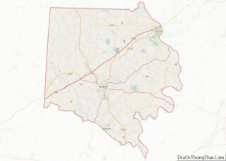
Advance location map. Where is Advance CDP?


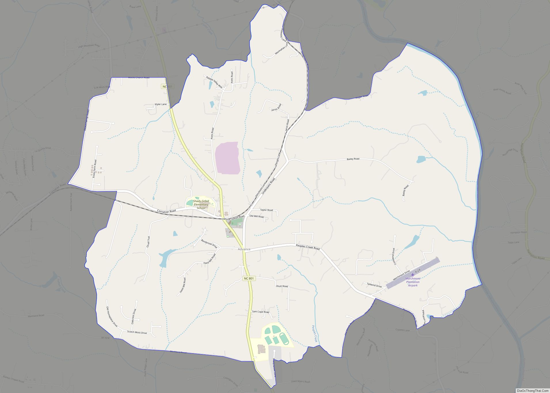
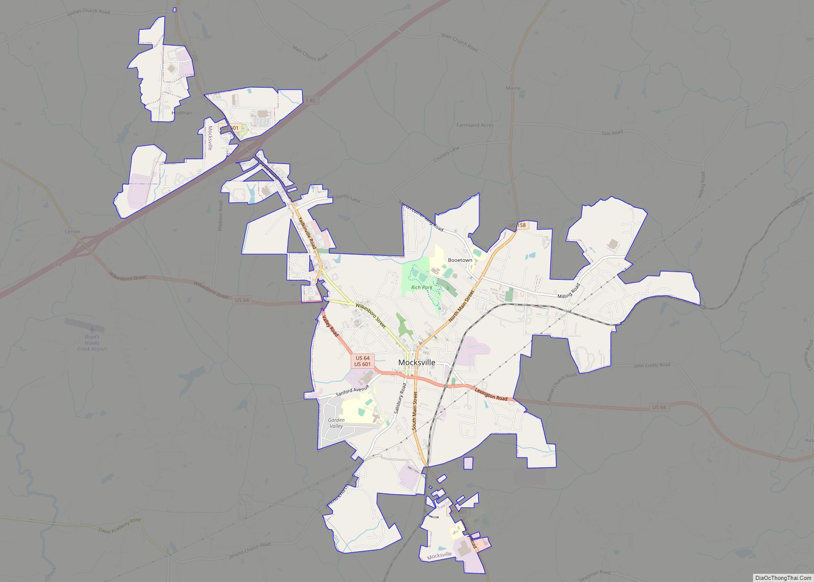
Advance Road Map

Advance city Satellite Map

Geography
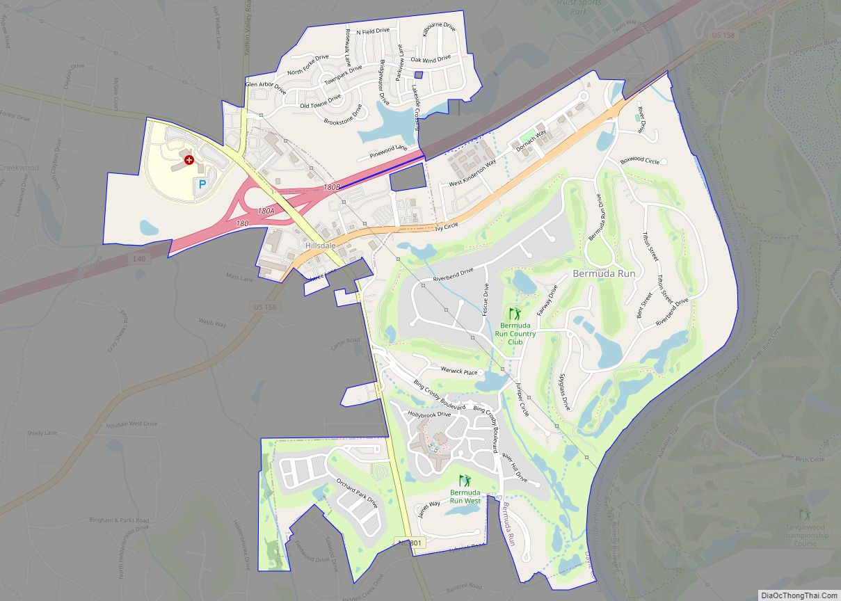
Advance is located in eastern Davie County. The Yadkin River forms the eastern edge of the CDP and is the Davidson County line. According to the U.S. Census Bureau, the CDP has a total area of 7.2 square miles (18.7 km), of which 7.1 square miles (18.5 km) is land and 0.1 square miles (0.2 km), or 0.95%, is water. Neighboring communities and municipalities include Bermuda Run, 4 miles (6 km) to the north, and Mocksville, the Davie County seat, 11 miles (18 km) to the west. The largest neighboring city is Winston-Salem, NC.
Advance is home to Shady Grove Elementary School and William Ellis Middle School.
See also
Map of North Carolina State and its subdivision:- Alamance
- Alexander
- Alleghany
- Anson
- Ashe
- Avery
- Beaufort
- Bertie
- Bladen
- Brunswick
- Buncombe
- Burke
- Cabarrus
- Caldwell
- Camden
- Carteret
- Caswell
- Catawba
- Chatham
- Cherokee
- Chowan
- Clay
- Cleveland
- Columbus
- Craven
- Cumberland
- Currituck
- Dare
- Davidson
- Davie
- Duplin
- Durham
- Edgecombe
- Forsyth
- Franklin
- Gaston
- Gates
- Graham
- Granville
- Greene
- Guilford
- Halifax
- Harnett
- Haywood
- Henderson
- Hertford
- Hoke
- Hyde
- Iredell
- Jackson
- Johnston
- Jones
- Lee
- Lenoir
- Lincoln
- Macon
- Madison
- Martin
- McDowell
- Mecklenburg
- Mitchell
- Montgomery
- Moore
- Nash
- New Hanover
- Northampton
- Onslow
- Orange
- Pamlico
- Pasquotank
- Pender
- Perquimans
- Person
- Pitt
- Polk
- Randolph
- Richmond
- Robeson
- Rockingham
- Rowan
- Rutherford
- Sampson
- Scotland
- Stanly
- Stokes
- Surry
- Swain
- Transylvania
- Tyrrell
- Union
- Vance
- Wake
- Warren
- Washington
- Watauga
- Wayne
- Wilkes
- Wilson
- Yadkin
- Yancey
- Alabama
- Alaska
- Arizona
- Arkansas
- California
- Colorado
- Connecticut
- Delaware
- District of Columbia
- Florida
- Georgia
- Hawaii
- Idaho
- Illinois
- Indiana
- Iowa
- Kansas
- Kentucky
- Louisiana
- Maine
- Maryland
- Massachusetts
- Michigan
- Minnesota
- Mississippi
- Missouri
- Montana
- Nebraska
- Nevada
- New Hampshire
- New Jersey
- New Mexico
- New York
- North Carolina
- North Dakota
- Ohio
- Oklahoma
- Oregon
- Pennsylvania
- Rhode Island
- South Carolina
- South Dakota
- Tennessee
- Texas
- Utah
- Vermont
- Virginia
- Washington
- West Virginia
- Wisconsin
- Wyoming