Arapahoe (/əˈræpəhoʊ/) is a town in Pamlico County, North Carolina, United States. As of the 2010 census, the town population was 556. Arapahoe shares many of its roles and duties with Minnesott Beach, North Carolina. It is part of the New Bern, North Carolina Micropolitan Statistical Area.
| Name: | Arapahoe town |
|---|---|
| LSAD Code: | 43 |
| LSAD Description: | town (suffix) |
| State: | North Carolina |
| County: | Pamlico County |
| Founded: | Circa 1714 |
| Incorporated: | 1921 |
| Elevation: | 75 ft (22.9 m) |
| Total Area: | 2.17 sq mi (5.62 km²) |
| Land Area: | 2.17 sq mi (5.62 km²) |
| Water Area: | 0.00 sq mi (0.00 km²) |
| Total Population: | 416 |
| Population Density: | 191.62/sq mi (73.98/km²) |
| ZIP code: | 28510 |
| Area code: | 252 |
| FIPS code: | 3701640 |
| GNISfeature ID: | 1018839 |
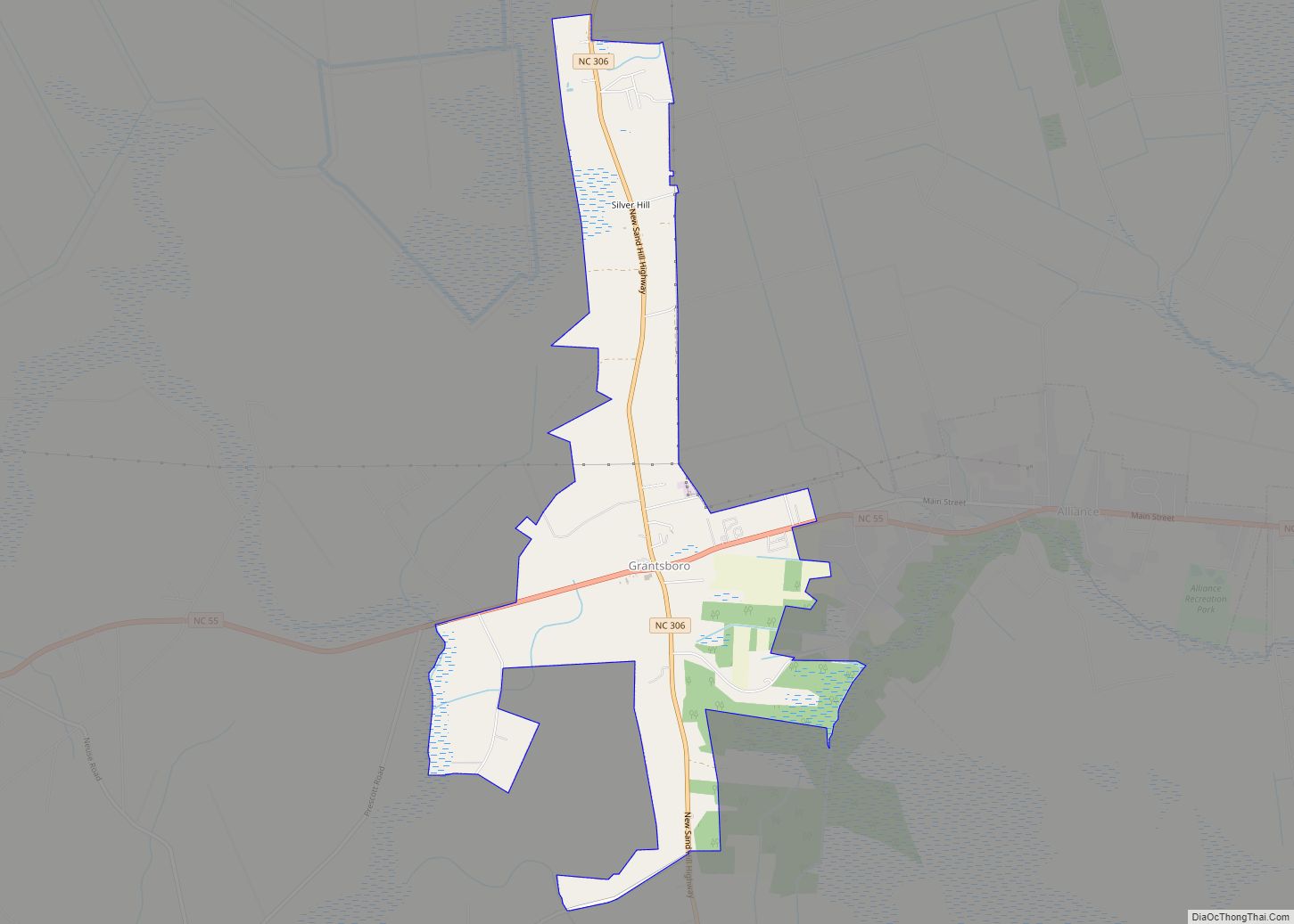
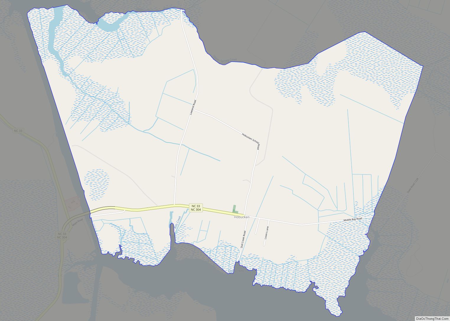
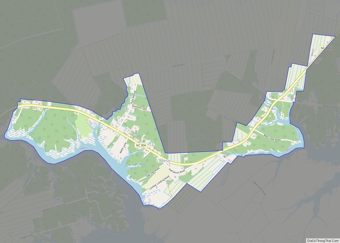
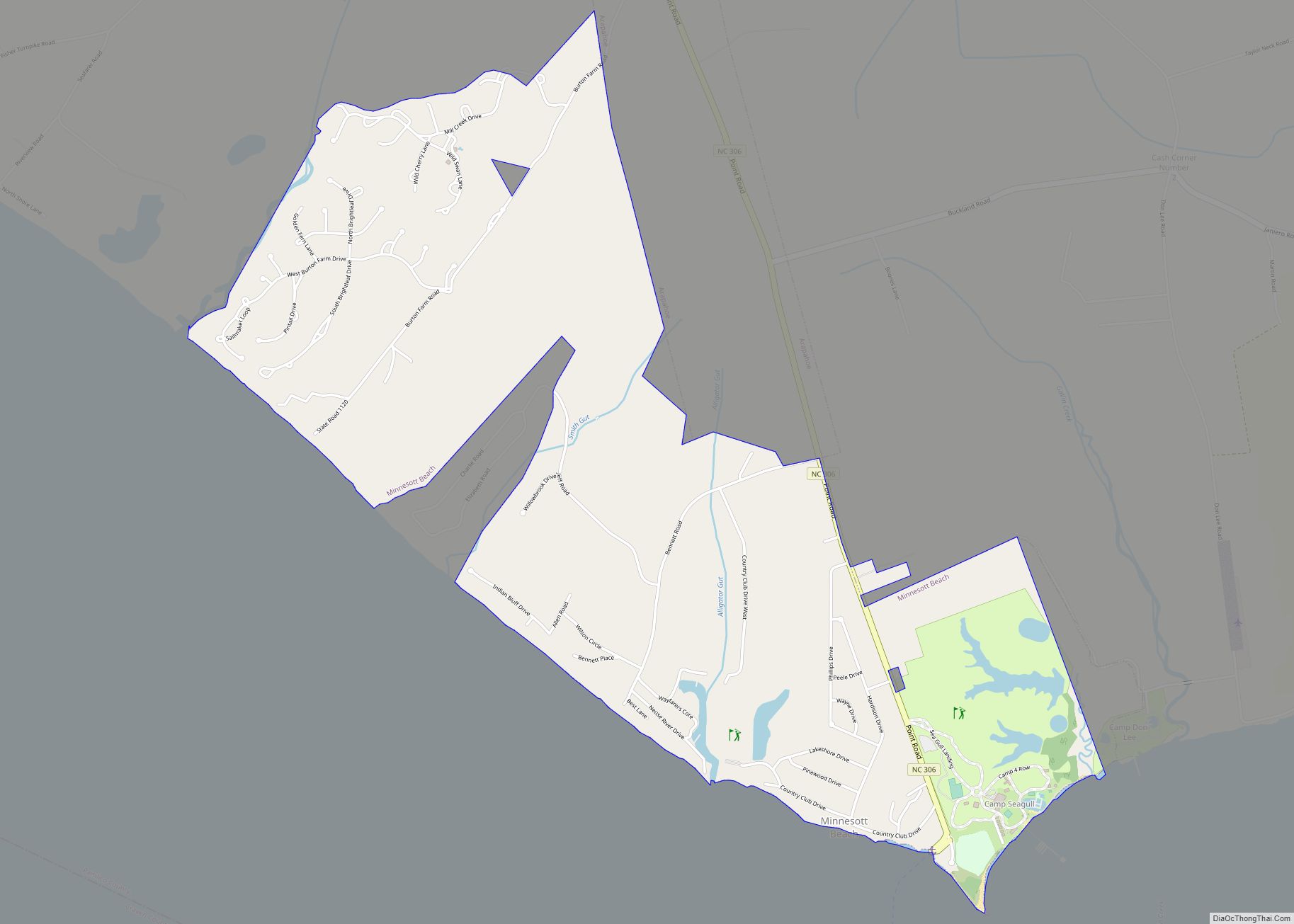
Online Interactive Map
Click on ![]() to view map in "full screen" mode.
to view map in "full screen" mode.
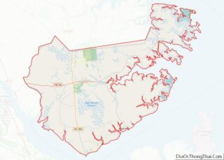
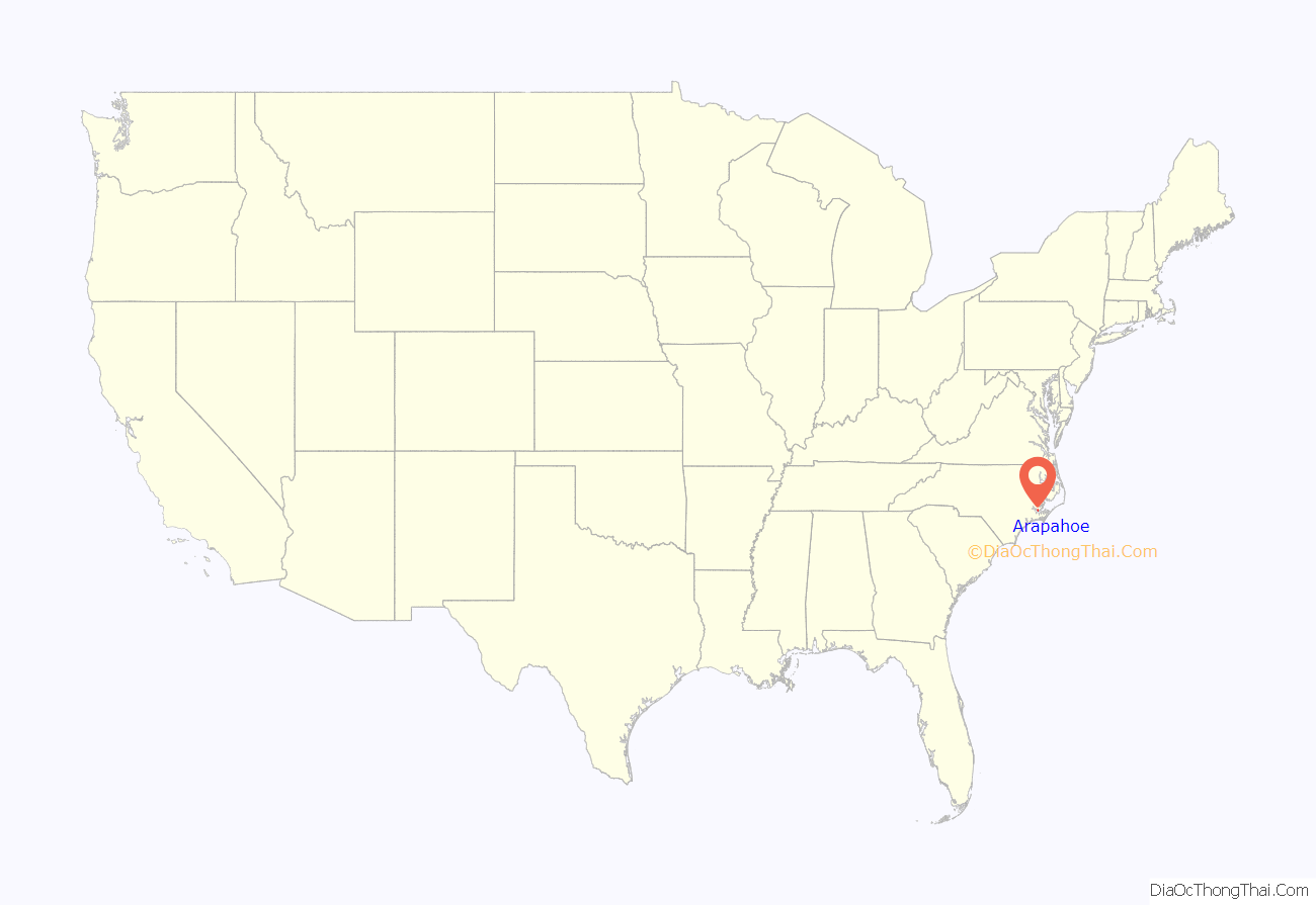
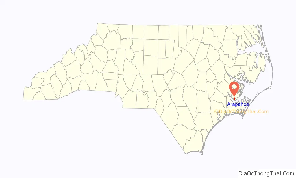
Arapahoe location map. Where is Arapahoe town?
History
Arapahoe was founded a few years after New Bern, North Carolina by settlers leaving the New Bern colony. This area was settled in 1703 on the old Indian trail from the big bend in the river heading west to Core Point. The community was called “Bethany Crossroads”. That Indian trail is still in use today but is now called North Carolina Highway 306. In 1886 Bob Hardison, after discussing it with his friend Bob Bowden decided to apply to the U.S. Postal Department for a Post office to be located at “Bethany Crossroads” in Pamlico County. They filled out an application and both signed it. When it was returned to them it was addressed to “Bob’s Town”, the reason being that there was already a “Bethany Crossroads” in the vicinity of Fayetteville. Neither of the Bobs liked “Bob’s Town” so they had to come up with a different name. After a lengthy discussion Bob Hardison said “Well if you have no objection, we will name it after my old white horse, Arapahoe.” So it was decided and a new application filed. It was likely a year or longer before all paperwork was completed, but “Bethany Crossroads” was no more and there by named the Town of Arapahoe. Arapahoe is a Native American tribe whose historic territory spanned regions of present-day Wyoming and Colorado.
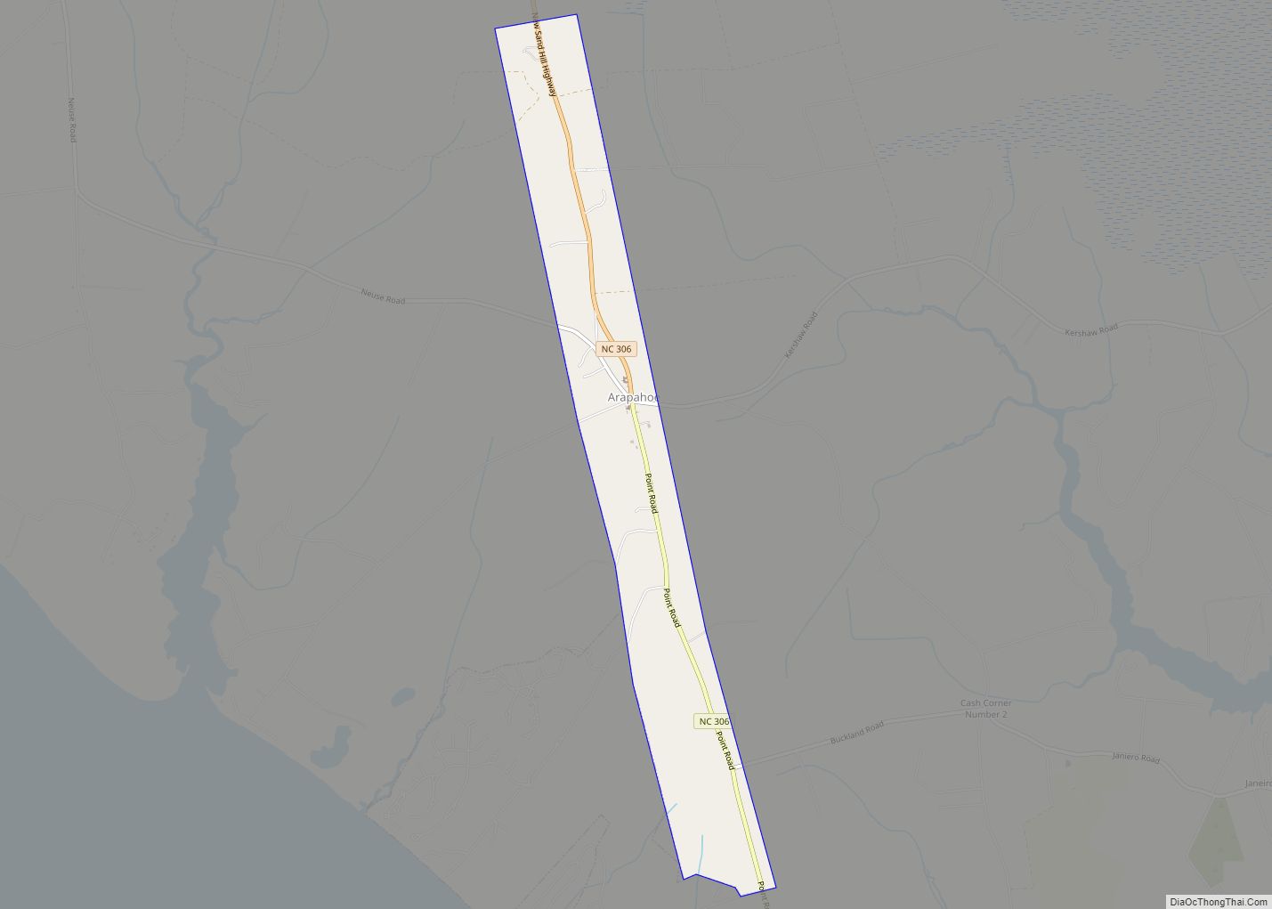
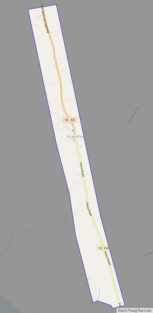
Arapahoe Road Map
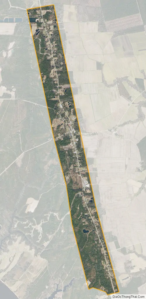
Arapahoe city Satellite Map
Geography
Arapahoe is located at 35°1′33″N 76°49′44″W / 35.02583°N 76.82889°W / 35.02583; -76.82889 (35.025914, -76.828860).
According to the United States Census Bureau, the town has a total area of 2.2 square miles (5.7 km), all land.
Arapahoe is located near the mouth of the Neuse River at Pamlico Sound. From Arapahoe (and through Minnesott Beach), the North Carolina Ferry System has a 20-minute ferry ride from Minnesott Beach to Cherry Branch. This ferry ride leads to Havelock, Atlantic Beach, Cherry Point Marine Corps Air Station, and Beaufort.
A project currently under consideration is a bridge that would span the Neuse River, connecting Minnesott Beach to Havelock. This project, on the state of North Carolina transportation hotspots, was recently pushed back into holding status while other projects are re-arranged to better utilize the newly revised budget.
Though not within the city limits, there are sub-regions of Arapahoe. These areas include Holt’s Chapel, Kershaw, Janerio, Dawson’s Creek, Taylor’s Neck, and Cash Corner. Dawson’s Creek area is the basis for Kevin Williamson’s WB television show.
See also
Map of North Carolina State and its subdivision:- Alamance
- Alexander
- Alleghany
- Anson
- Ashe
- Avery
- Beaufort
- Bertie
- Bladen
- Brunswick
- Buncombe
- Burke
- Cabarrus
- Caldwell
- Camden
- Carteret
- Caswell
- Catawba
- Chatham
- Cherokee
- Chowan
- Clay
- Cleveland
- Columbus
- Craven
- Cumberland
- Currituck
- Dare
- Davidson
- Davie
- Duplin
- Durham
- Edgecombe
- Forsyth
- Franklin
- Gaston
- Gates
- Graham
- Granville
- Greene
- Guilford
- Halifax
- Harnett
- Haywood
- Henderson
- Hertford
- Hoke
- Hyde
- Iredell
- Jackson
- Johnston
- Jones
- Lee
- Lenoir
- Lincoln
- Macon
- Madison
- Martin
- McDowell
- Mecklenburg
- Mitchell
- Montgomery
- Moore
- Nash
- New Hanover
- Northampton
- Onslow
- Orange
- Pamlico
- Pasquotank
- Pender
- Perquimans
- Person
- Pitt
- Polk
- Randolph
- Richmond
- Robeson
- Rockingham
- Rowan
- Rutherford
- Sampson
- Scotland
- Stanly
- Stokes
- Surry
- Swain
- Transylvania
- Tyrrell
- Union
- Vance
- Wake
- Warren
- Washington
- Watauga
- Wayne
- Wilkes
- Wilson
- Yadkin
- Yancey
- Alabama
- Alaska
- Arizona
- Arkansas
- California
- Colorado
- Connecticut
- Delaware
- District of Columbia
- Florida
- Georgia
- Hawaii
- Idaho
- Illinois
- Indiana
- Iowa
- Kansas
- Kentucky
- Louisiana
- Maine
- Maryland
- Massachusetts
- Michigan
- Minnesota
- Mississippi
- Missouri
- Montana
- Nebraska
- Nevada
- New Hampshire
- New Jersey
- New Mexico
- New York
- North Carolina
- North Dakota
- Ohio
- Oklahoma
- Oregon
- Pennsylvania
- Rhode Island
- South Carolina
- South Dakota
- Tennessee
- Texas
- Utah
- Vermont
- Virginia
- Washington
- West Virginia
- Wisconsin
- Wyoming