Ayden is a town in Pitt County, North Carolina, United States. The population was 4,977 at the 2020 census. The town is a part of the Greenville Metropolitan Area of North Carolina’s Inner Banks region.
| Name: | Ayden town |
|---|---|
| LSAD Code: | 43 |
| LSAD Description: | town (suffix) |
| State: | North Carolina |
| County: | Pitt County |
| Elevation: | 66 ft (20 m) |
| Total Area: | 3.81 sq mi (9.88 km²) |
| Land Area: | 3.81 sq mi (9.88 km²) |
| Water Area: | 0.00 sq mi (0.00 km²) |
| Total Population: | 4,977 |
| Population Density: | 1,304.93/sq mi (503.83/km²) |
| ZIP code: | 28513 |
| Area code: | 252 |
| FIPS code: | 3702840 |
| GNISfeature ID: | 1018886 |
| Website: | www.ayden.com |
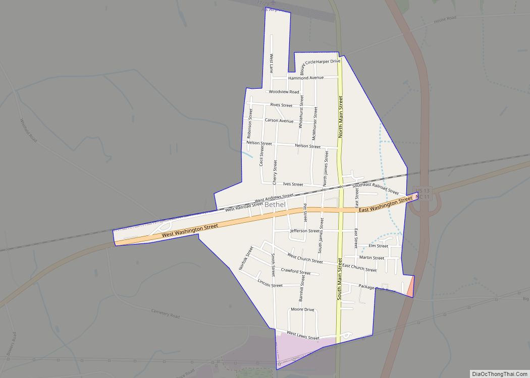
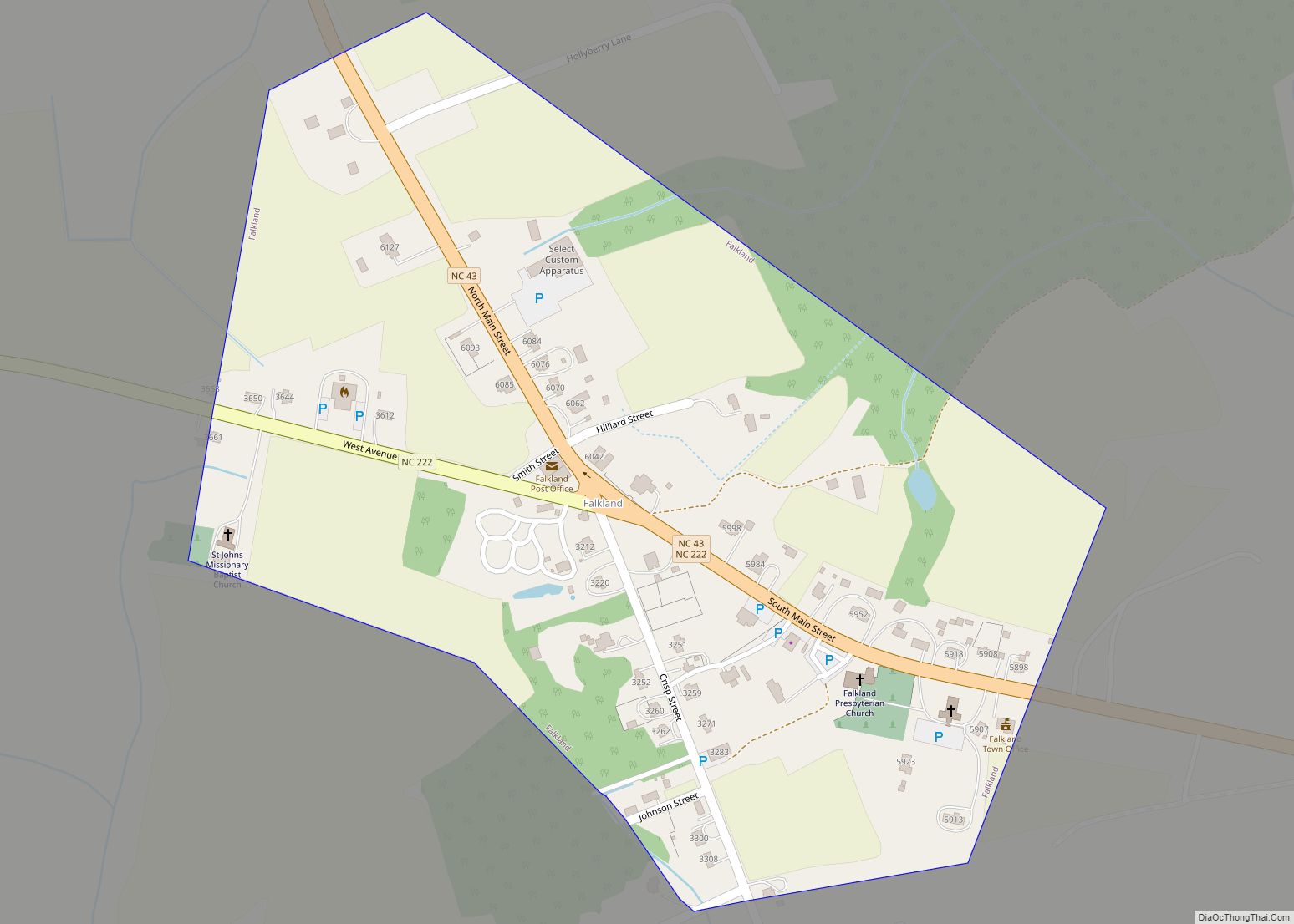
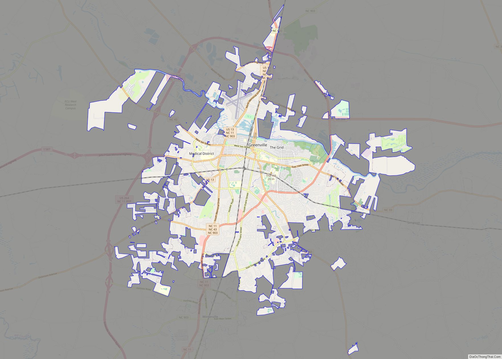
Online Interactive Map
Click on ![]() to view map in "full screen" mode.
to view map in "full screen" mode.
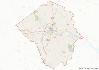
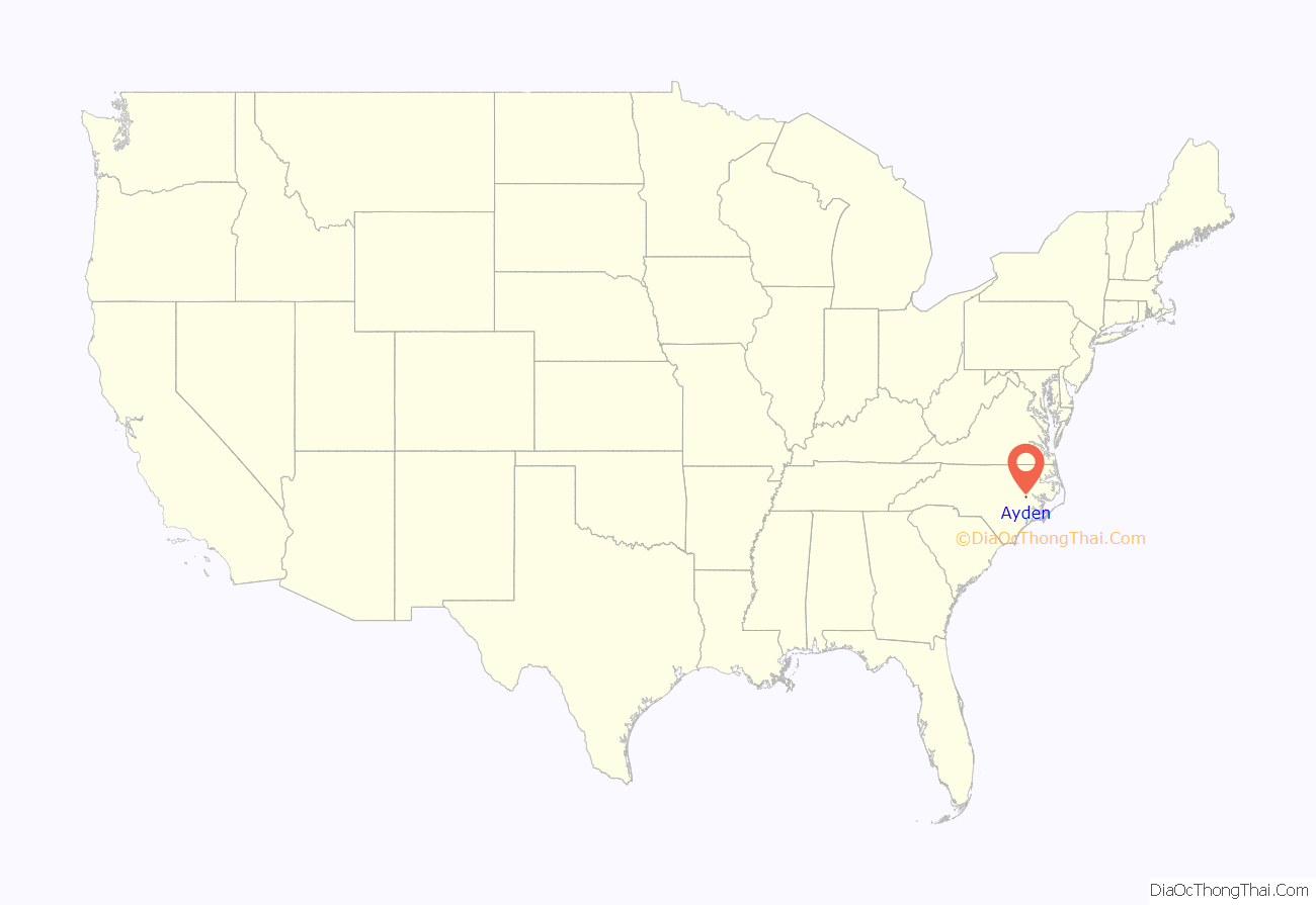
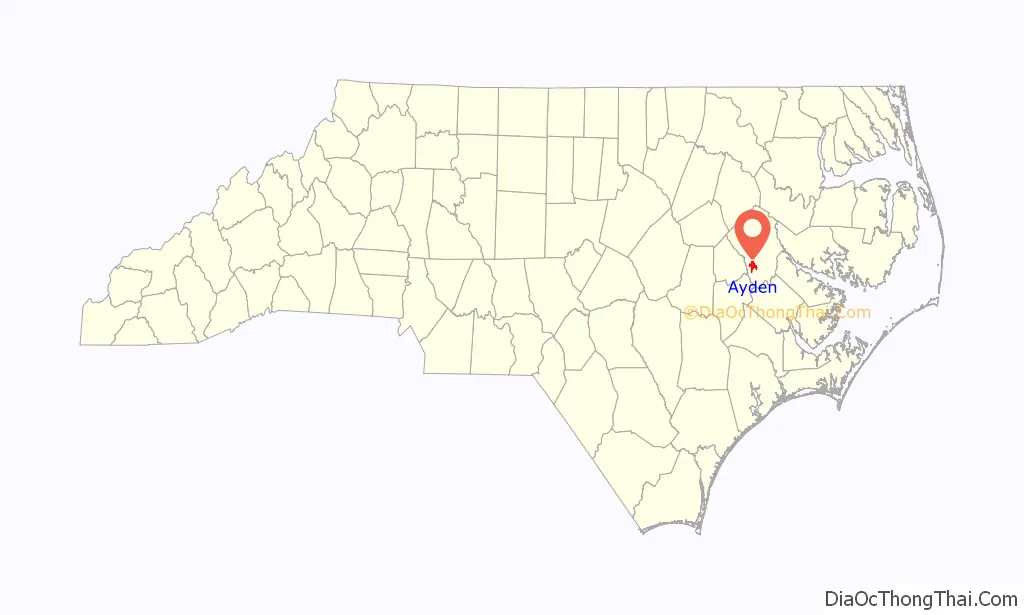
Ayden location map. Where is Ayden town?
History
In 1891, William Henry Harris asked the Atlantic Coast Line Railroad to build a railroad depot on a portion of his farm in order to create a village. A 40-acre (160,000 m) parcel of land was divided into residential lots surrounding the depot in “Harristown”, with Harris owning every other lot. Within the next several years, lots were sold and homes built. Businesses began to open up to support the new residents, and on February 3, 1891, the town was incorporated as “Ayden.” Within a few years, the Carolina Christian College and the Free Will Baptist Seminary were established. By 1919, Ayden had full-time electricity supplied by the Ayden municipal light plant. In 1922, the Mutual Building and Loan Association of Ayden was organized to help families obtain mortgages to build homes in Ayden.
After experiencing difficult times during the Great Depression, and after the Second World War, the town began to grow. To accommodate the growth, commercial, cultural, religious, and other establishments were opened within and around Ayden. The community is still growing today, due to the continued development of Greenville as an industrial and economic center for eastern North Carolina.
The Ayden Historic District was listed on the National Register of Historic Places in 1994.
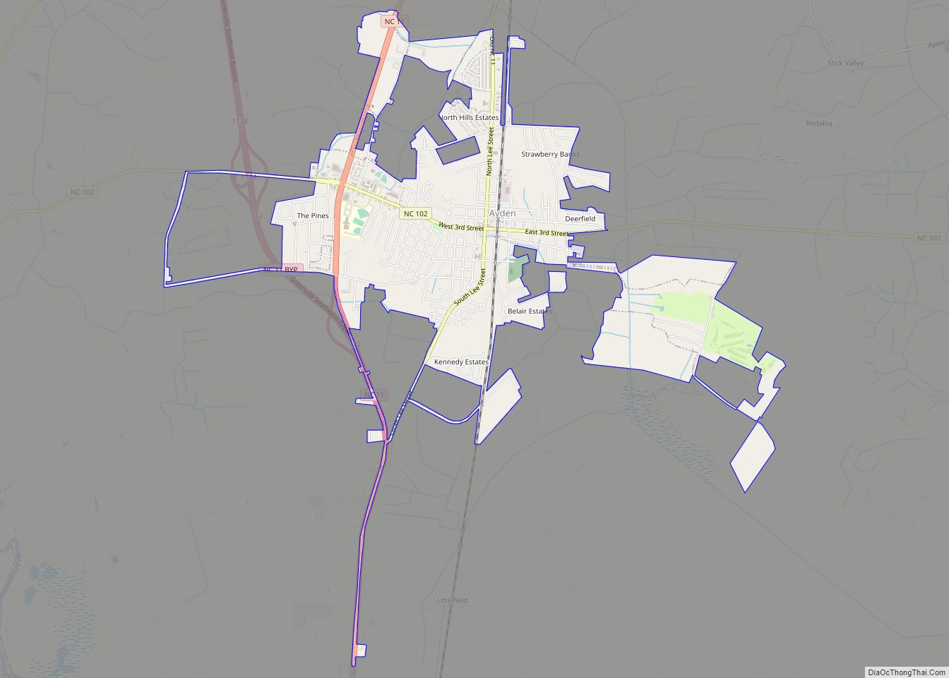
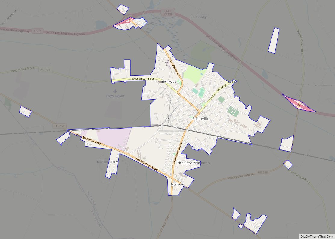
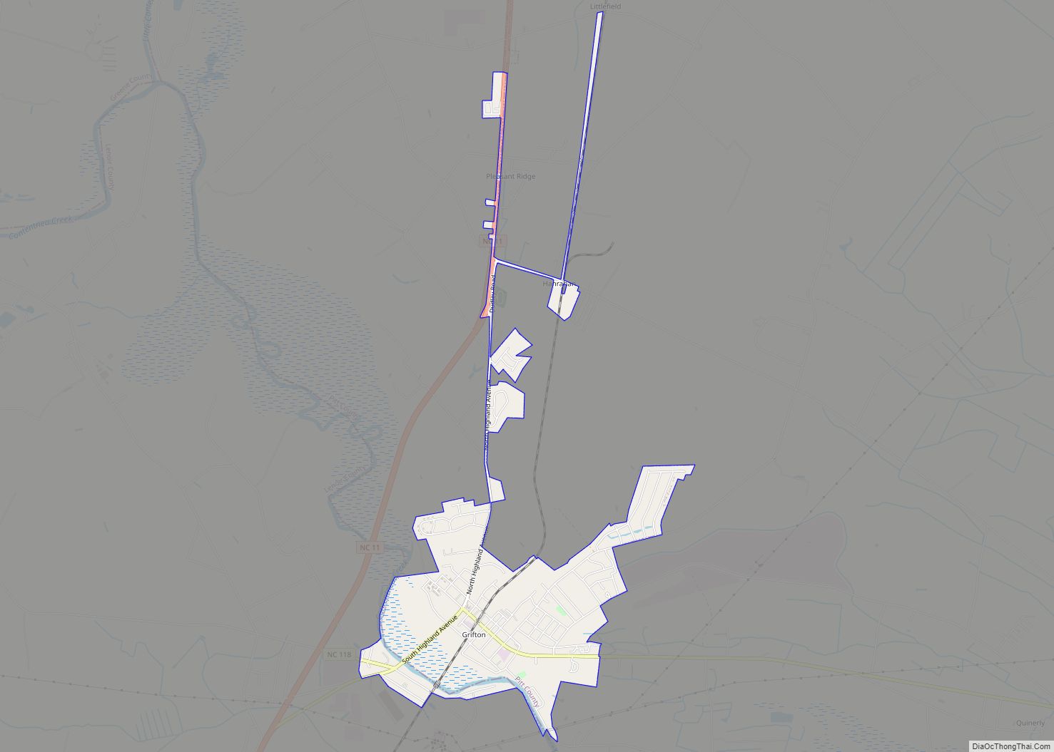
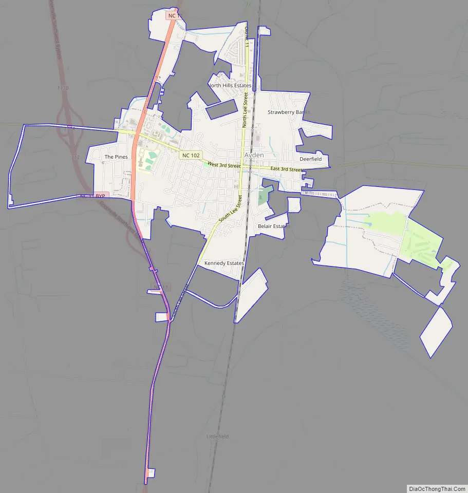
Ayden Road Map
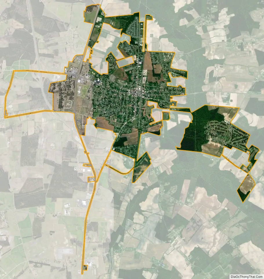
Ayden city Satellite Map
Geography
Ayden is located at 35°28′16″N 77°25′15″W / 35.47111°N 77.42083°W / 35.47111; -77.42083 (35.470973, -77.420740), with a total area of 3.84 square miles, all land.
See also
Map of North Carolina State and its subdivision:- Alamance
- Alexander
- Alleghany
- Anson
- Ashe
- Avery
- Beaufort
- Bertie
- Bladen
- Brunswick
- Buncombe
- Burke
- Cabarrus
- Caldwell
- Camden
- Carteret
- Caswell
- Catawba
- Chatham
- Cherokee
- Chowan
- Clay
- Cleveland
- Columbus
- Craven
- Cumberland
- Currituck
- Dare
- Davidson
- Davie
- Duplin
- Durham
- Edgecombe
- Forsyth
- Franklin
- Gaston
- Gates
- Graham
- Granville
- Greene
- Guilford
- Halifax
- Harnett
- Haywood
- Henderson
- Hertford
- Hoke
- Hyde
- Iredell
- Jackson
- Johnston
- Jones
- Lee
- Lenoir
- Lincoln
- Macon
- Madison
- Martin
- McDowell
- Mecklenburg
- Mitchell
- Montgomery
- Moore
- Nash
- New Hanover
- Northampton
- Onslow
- Orange
- Pamlico
- Pasquotank
- Pender
- Perquimans
- Person
- Pitt
- Polk
- Randolph
- Richmond
- Robeson
- Rockingham
- Rowan
- Rutherford
- Sampson
- Scotland
- Stanly
- Stokes
- Surry
- Swain
- Transylvania
- Tyrrell
- Union
- Vance
- Wake
- Warren
- Washington
- Watauga
- Wayne
- Wilkes
- Wilson
- Yadkin
- Yancey
- Alabama
- Alaska
- Arizona
- Arkansas
- California
- Colorado
- Connecticut
- Delaware
- District of Columbia
- Florida
- Georgia
- Hawaii
- Idaho
- Illinois
- Indiana
- Iowa
- Kansas
- Kentucky
- Louisiana
- Maine
- Maryland
- Massachusetts
- Michigan
- Minnesota
- Mississippi
- Missouri
- Montana
- Nebraska
- Nevada
- New Hampshire
- New Jersey
- New Mexico
- New York
- North Carolina
- North Dakota
- Ohio
- Oklahoma
- Oregon
- Pennsylvania
- Rhode Island
- South Carolina
- South Dakota
- Tennessee
- Texas
- Utah
- Vermont
- Virginia
- Washington
- West Virginia
- Wisconsin
- Wyoming