Whiteville is a city in Columbus County, North Carolina, United States. The population was 5,394 at the 2010 census. It is the largest city in Columbus County and is the county seat.
| Name: | Whiteville city |
|---|---|
| LSAD Code: | 25 |
| LSAD Description: | city (suffix) |
| State: | North Carolina |
| County: | Columbus County |
| Elevation: | 101 ft (30 m) |
| Total Area: | 5.56 sq mi (14.40 km²) |
| Land Area: | 5.56 sq mi (14.40 km²) |
| Water Area: | 0.00 sq mi (0.00 km²) |
| Total Population: | 4,766 |
| Population Density: | 857.50/sq mi (331.06/km²) |
| ZIP code: | 28472 |
| FIPS code: | 3773660 |
| GNISfeature ID: | 1025798 |
| Website: | www.whitevillenc.gov |
Online Interactive Map
Click on ![]() to view map in "full screen" mode.
to view map in "full screen" mode.
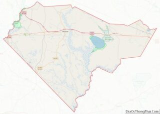
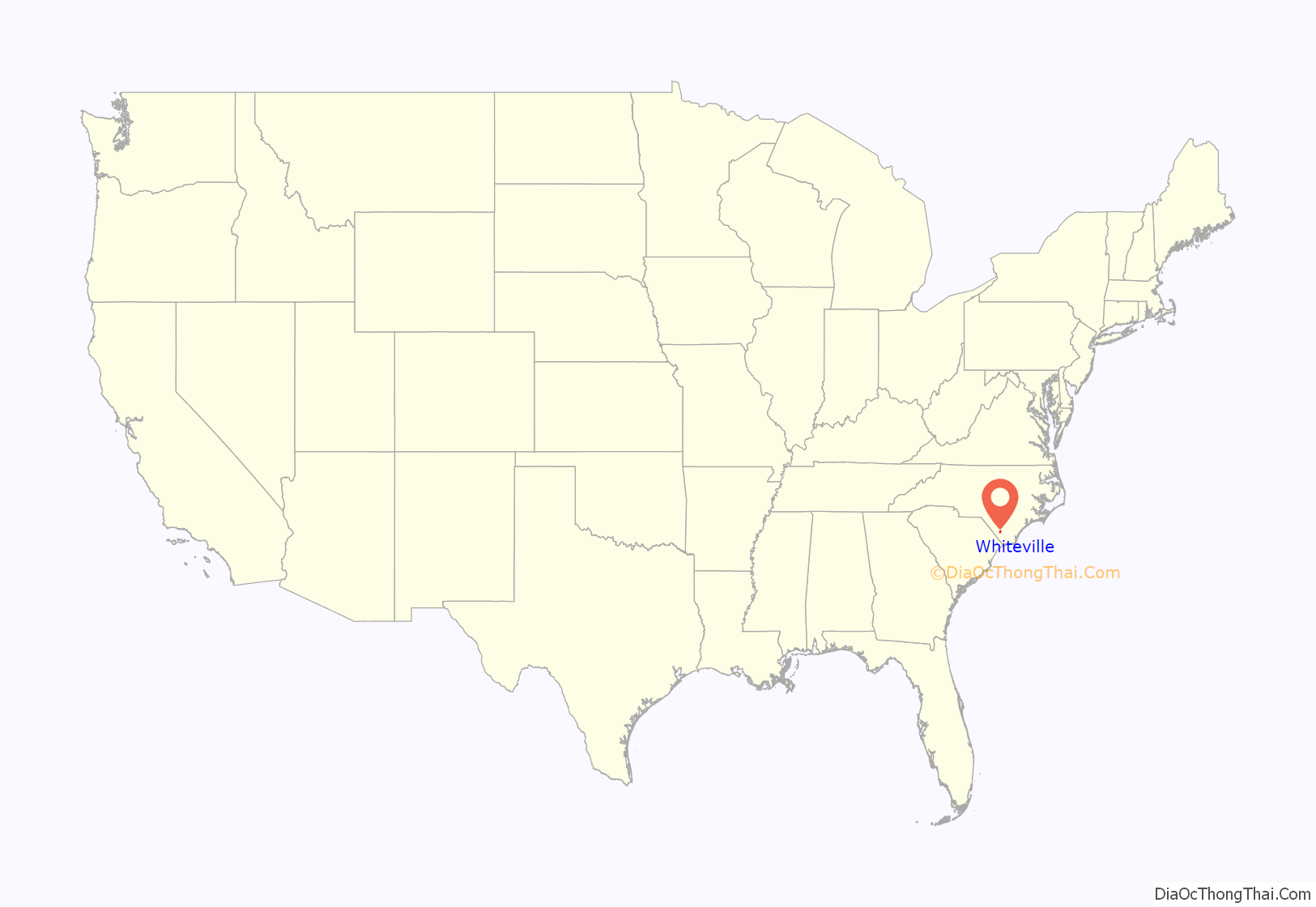
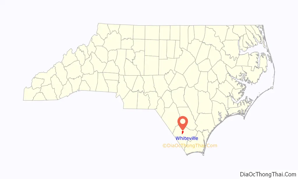
Whiteville location map. Where is Whiteville city?
History
Columbus County was created in 1808. In 1810, a community was platted on land owned by James B. White for the purpose of creating a county seat and establishing government buildings. It was originally known as White’s Crossing before being incorporated under its present name in 1832. A post office called Whiteville has been in operation since 1821. The town was sacked by Union forces during the latter stages of the American Civil War.
In 1950, Whiteville fielded a professional minor league baseball team in the Class D Tobacco State League. The Whiteville Tobs club lasted only one season before disbanding with the entire league.
The Columbus County Courthouse was listed on the National Register of Historic Places in 1983.
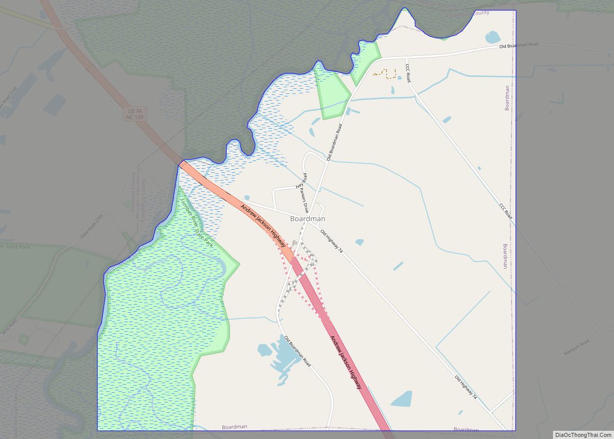
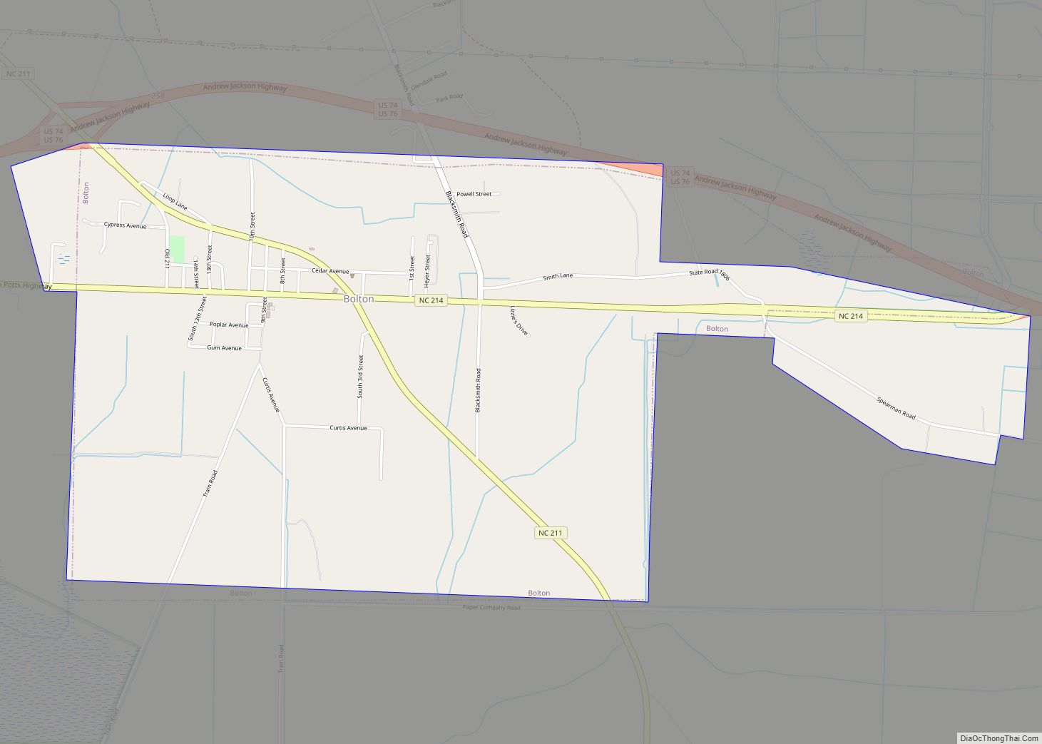
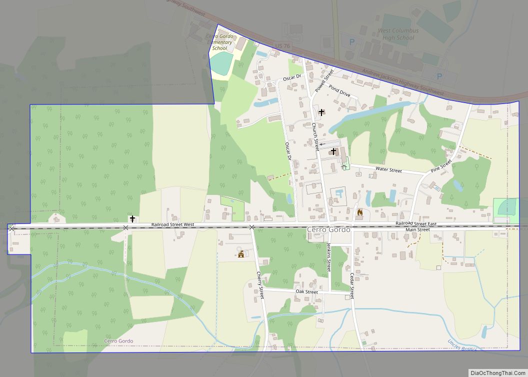
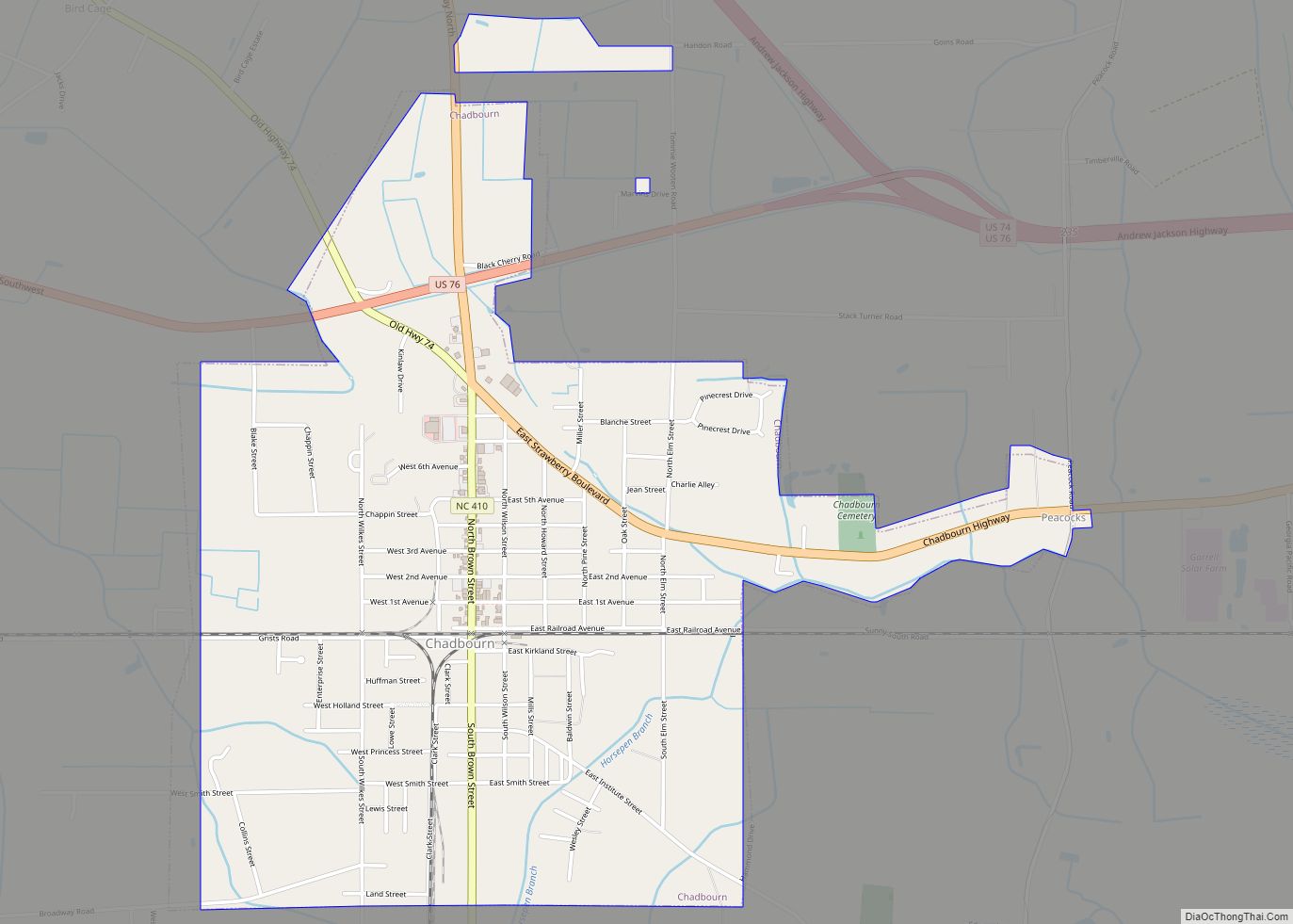
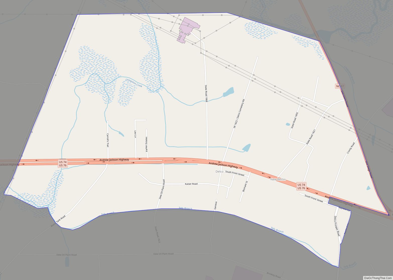
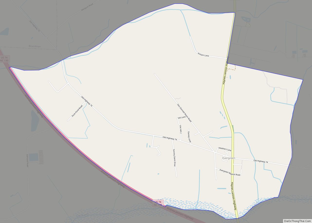
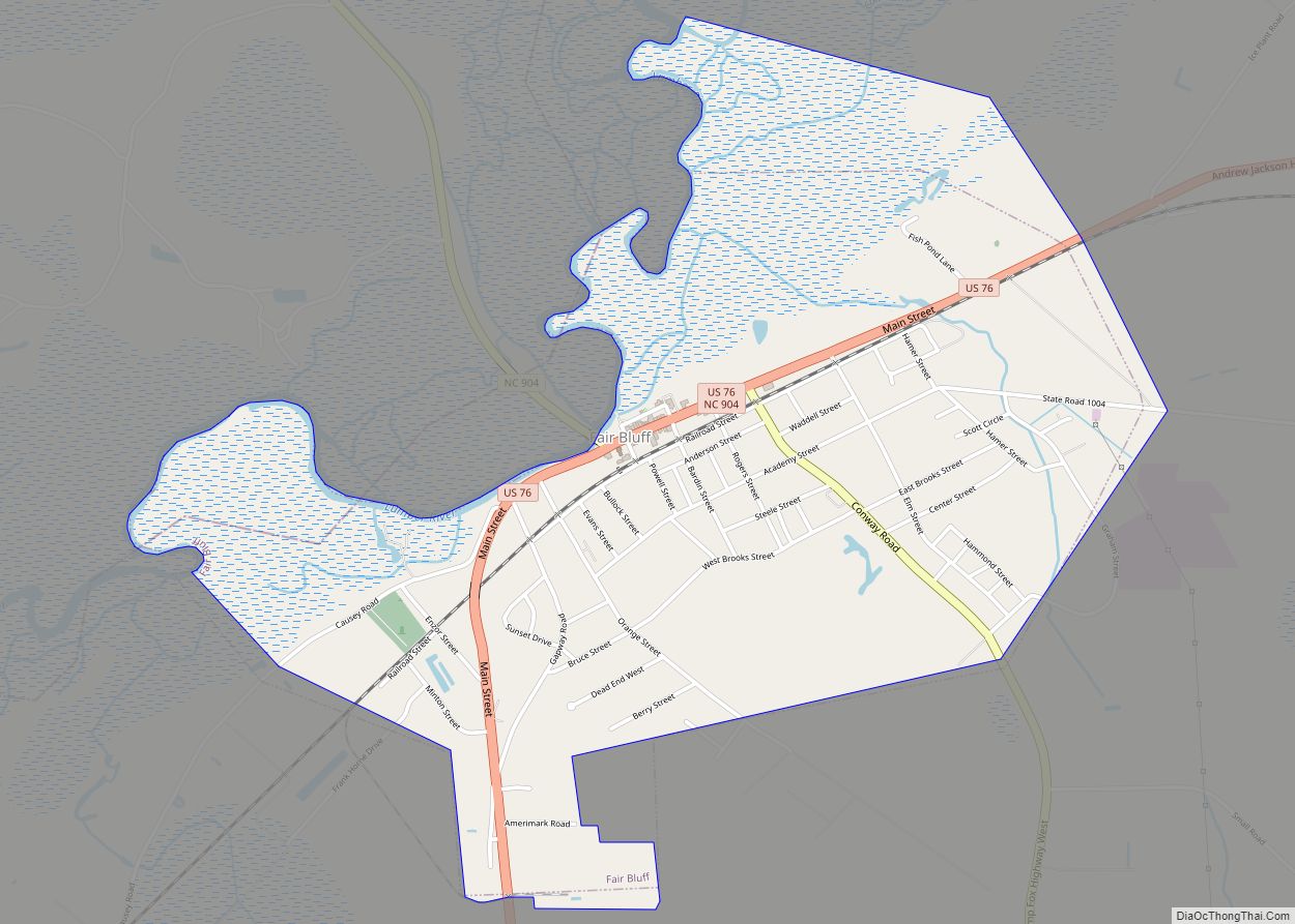
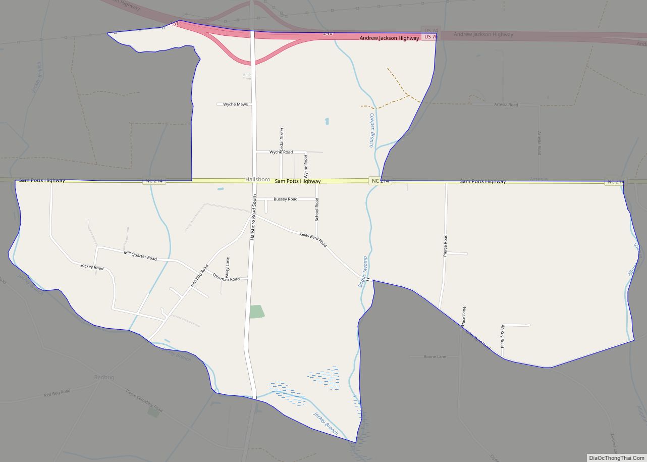
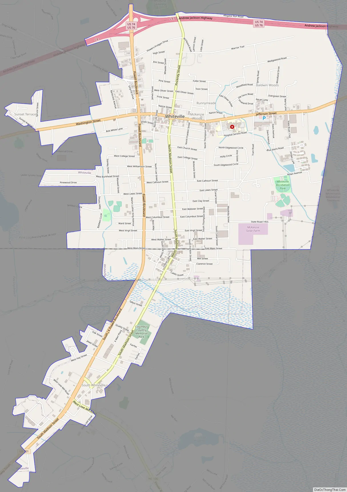
Whiteville Road Map
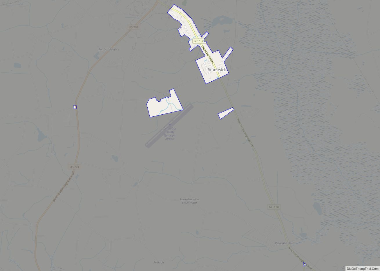
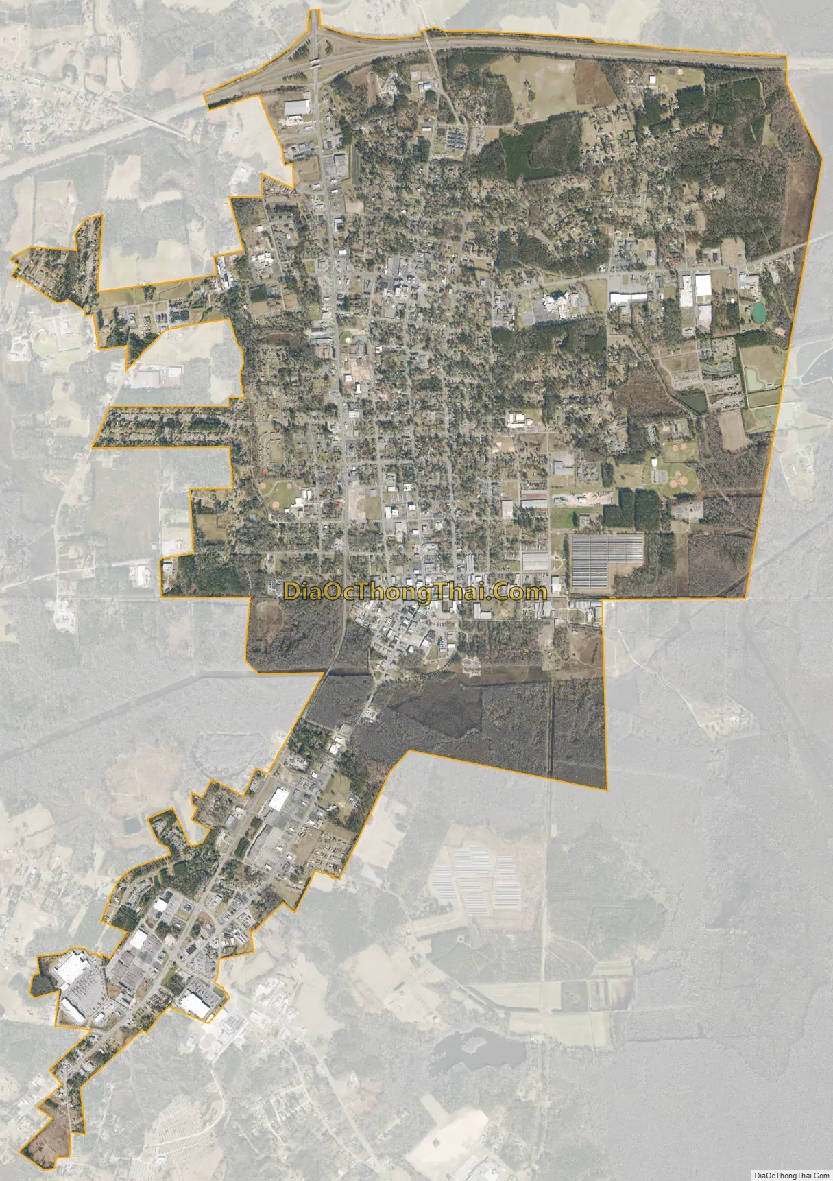
Whiteville city Satellite Map
Geography
Whiteville is located in north-central Columbus County at 34°19′48″N 78°42′16″W / 34.33000°N 78.70444°W / 34.33000; -78.70444 (34.330096, -78.704533). The town lies within the Carolina Border Belt, a regional network of tobacco markets and warehouses along both sides of the North Carolina-South Carolina border. Combined U.S. Routes 74 and 76 bypass the city on its north side and lead east 46 miles (74 km) to Wilmington. US 74 leads northwest 32 miles (51 km) to Lumberton, and US 76 leads west 67 miles (108 km) to Florence, South Carolina. U.S. Route 701 passes through the western side of Whiteville, leading north 23 miles (37 km) to Elizabethtown and southwest 44 miles (71 km) to Conway, South Carolina.
According to the United States Census Bureau, Whiteville has a total area of 5.4 square miles (14.1 km), all land.
See also
Map of North Carolina State and its subdivision:- Alamance
- Alexander
- Alleghany
- Anson
- Ashe
- Avery
- Beaufort
- Bertie
- Bladen
- Brunswick
- Buncombe
- Burke
- Cabarrus
- Caldwell
- Camden
- Carteret
- Caswell
- Catawba
- Chatham
- Cherokee
- Chowan
- Clay
- Cleveland
- Columbus
- Craven
- Cumberland
- Currituck
- Dare
- Davidson
- Davie
- Duplin
- Durham
- Edgecombe
- Forsyth
- Franklin
- Gaston
- Gates
- Graham
- Granville
- Greene
- Guilford
- Halifax
- Harnett
- Haywood
- Henderson
- Hertford
- Hoke
- Hyde
- Iredell
- Jackson
- Johnston
- Jones
- Lee
- Lenoir
- Lincoln
- Macon
- Madison
- Martin
- McDowell
- Mecklenburg
- Mitchell
- Montgomery
- Moore
- Nash
- New Hanover
- Northampton
- Onslow
- Orange
- Pamlico
- Pasquotank
- Pender
- Perquimans
- Person
- Pitt
- Polk
- Randolph
- Richmond
- Robeson
- Rockingham
- Rowan
- Rutherford
- Sampson
- Scotland
- Stanly
- Stokes
- Surry
- Swain
- Transylvania
- Tyrrell
- Union
- Vance
- Wake
- Warren
- Washington
- Watauga
- Wayne
- Wilkes
- Wilson
- Yadkin
- Yancey
- Alabama
- Alaska
- Arizona
- Arkansas
- California
- Colorado
- Connecticut
- Delaware
- District of Columbia
- Florida
- Georgia
- Hawaii
- Idaho
- Illinois
- Indiana
- Iowa
- Kansas
- Kentucky
- Louisiana
- Maine
- Maryland
- Massachusetts
- Michigan
- Minnesota
- Mississippi
- Missouri
- Montana
- Nebraska
- Nevada
- New Hampshire
- New Jersey
- New Mexico
- New York
- North Carolina
- North Dakota
- Ohio
- Oklahoma
- Oregon
- Pennsylvania
- Rhode Island
- South Carolina
- South Dakota
- Tennessee
- Texas
- Utah
- Vermont
- Virginia
- Washington
- West Virginia
- Wisconsin
- Wyoming