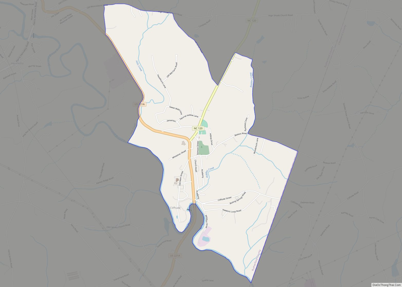
Caroleen is an unincorporated community and census-designated place (CDP) in southeastern Rutherford County, North Carolina, United States. Its population was 652 as of the 2010 census. Caroleen has a post office with ZIP code 28019. U.S. Route 221 Alternate passes through the community.
| Name: | Caroleen CDP |
|---|---|
| LSAD Code: | 57 |
| LSAD Description: | CDP (suffix) |
| State: | North Carolina |
| County: | Rutherford County |
| Elevation: | 843 ft (257 m) |
| Total Area: | 1.11 sq mi (2.87 km²) |
| Land Area: | 1.11 sq mi (2.87 km²) |
| Water Area: | 0.00 sq mi (0.00 km²) |
| Total Population: | 560 |
| Population Density: | 505.87/sq mi (195.28/km²) |
| ZIP code: | 28019 |
| Area code: | 828 |
| FIPS code: | 3710460 |
| GNISfeature ID: | 1019533 |
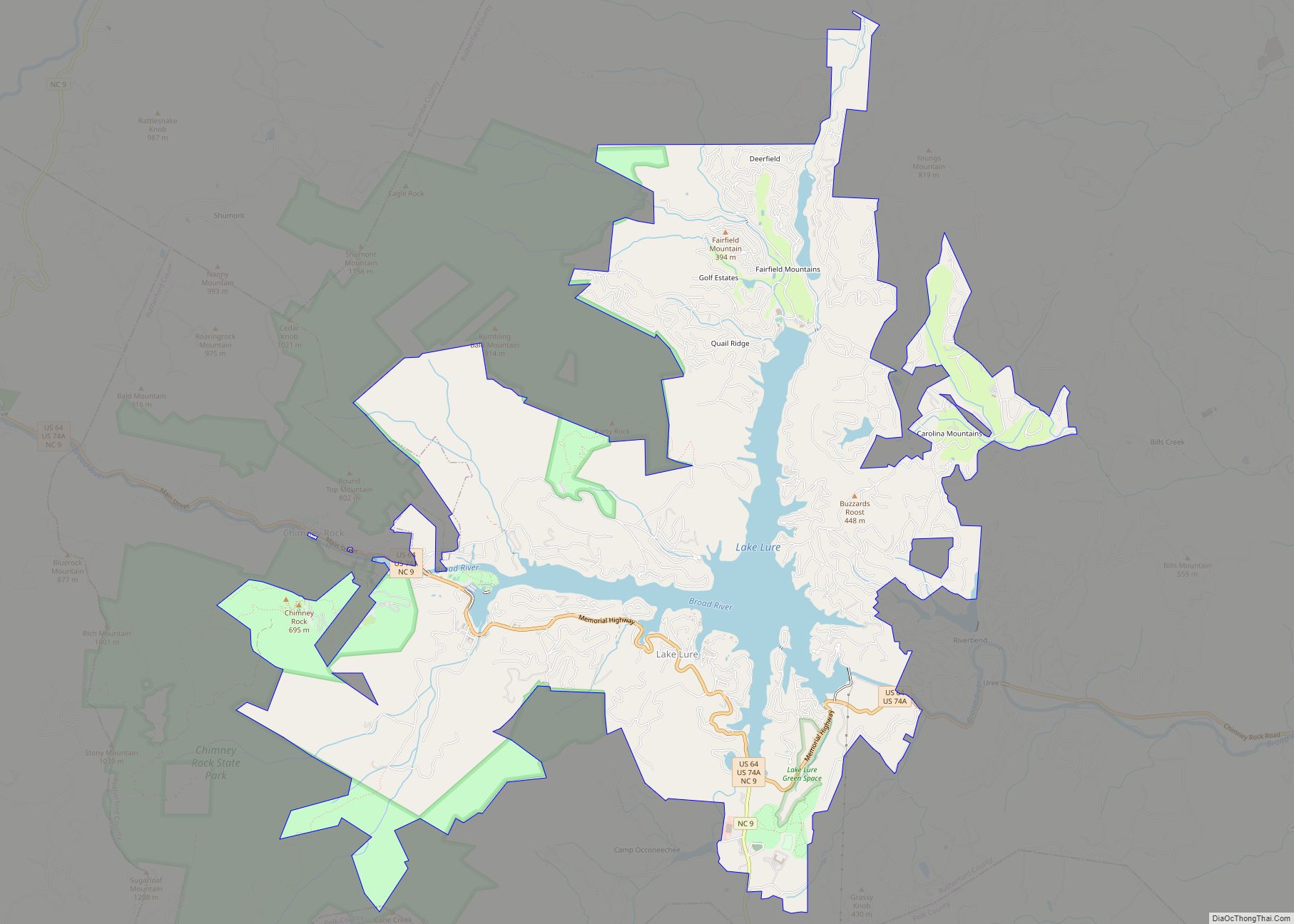
Online Interactive Map
Click on ![]() to view map in "full screen" mode.
to view map in "full screen" mode.
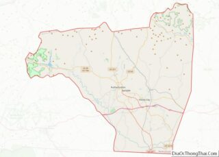
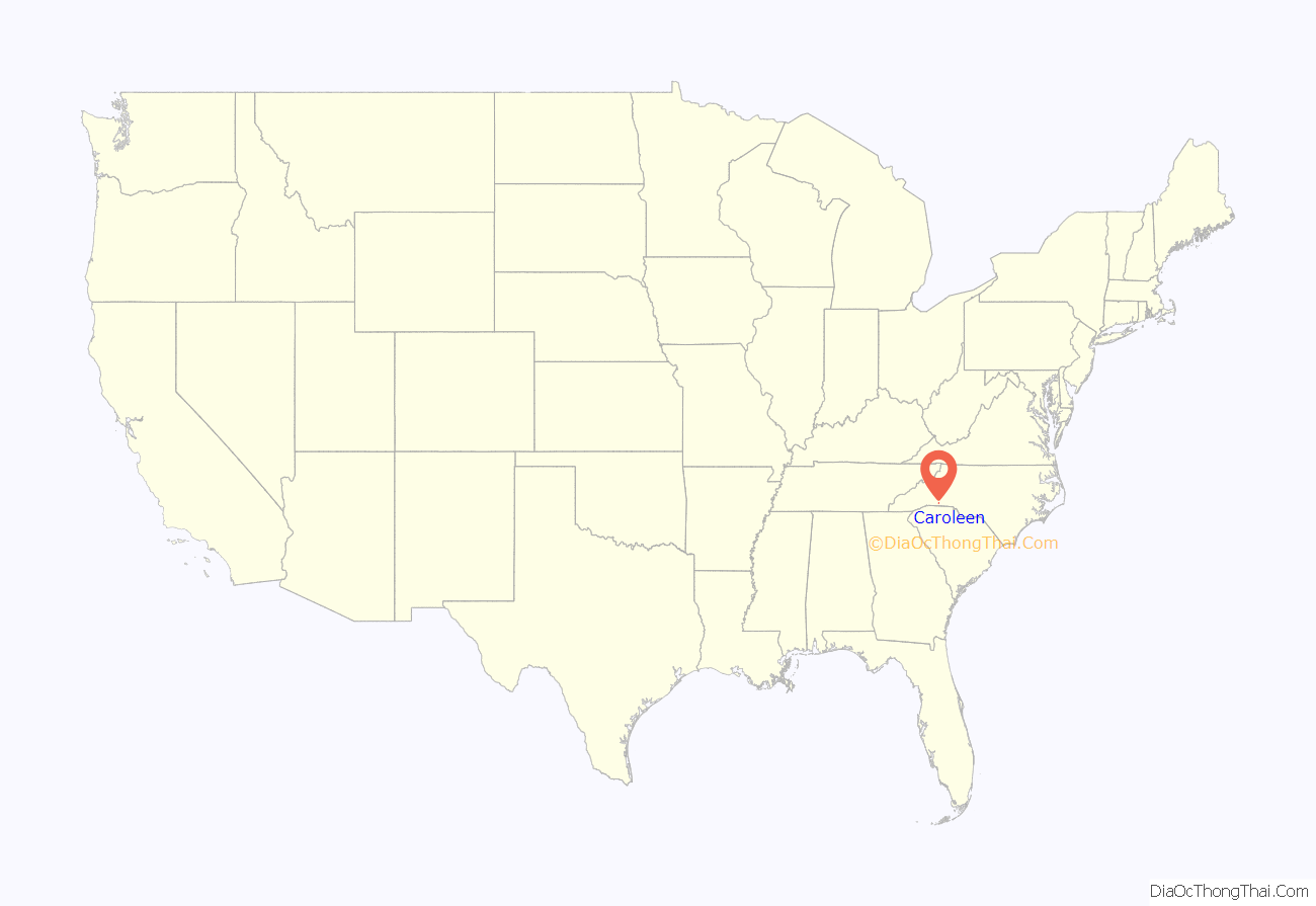
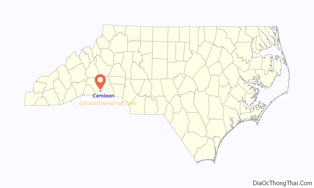
Caroleen location map. Where is Caroleen CDP?
History
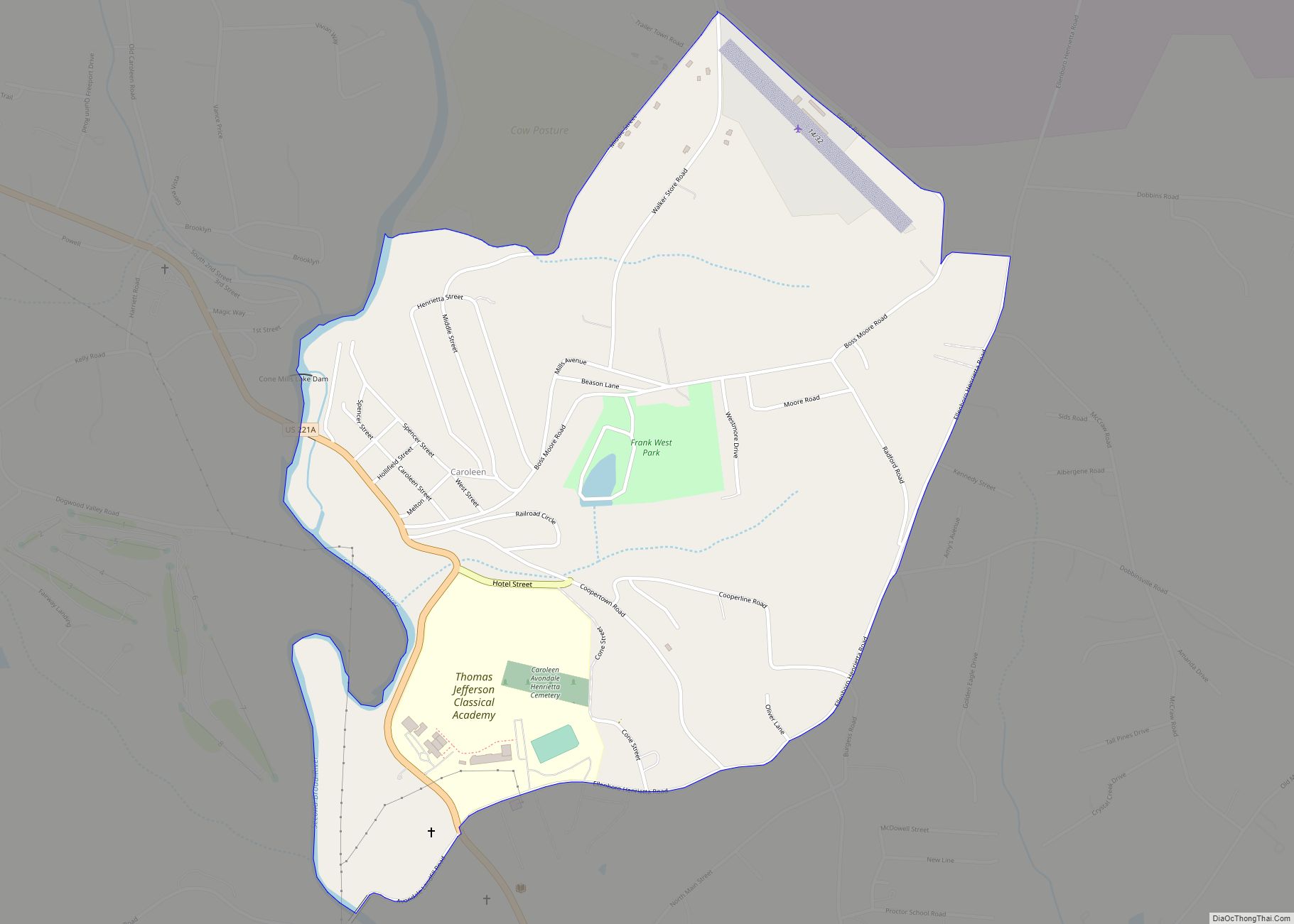
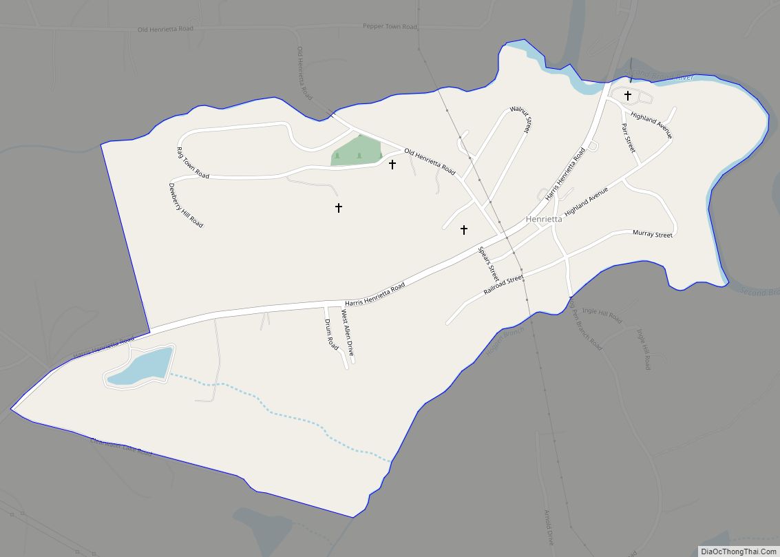
Caroleen is located on the Second Broad River. It was named in honor of Caroline, wife of industrialist Simpson B. Tanner Sr.
The Post Office Department ruled that Caroline was too similar to Carolina to be acceptable, so the name Caroleen was selected instead.
The communities of Avondale and Henrietta, founded in 1887 and named for Tanner’s mother-in-law Henrietta McRae Spencer, lie directly south.
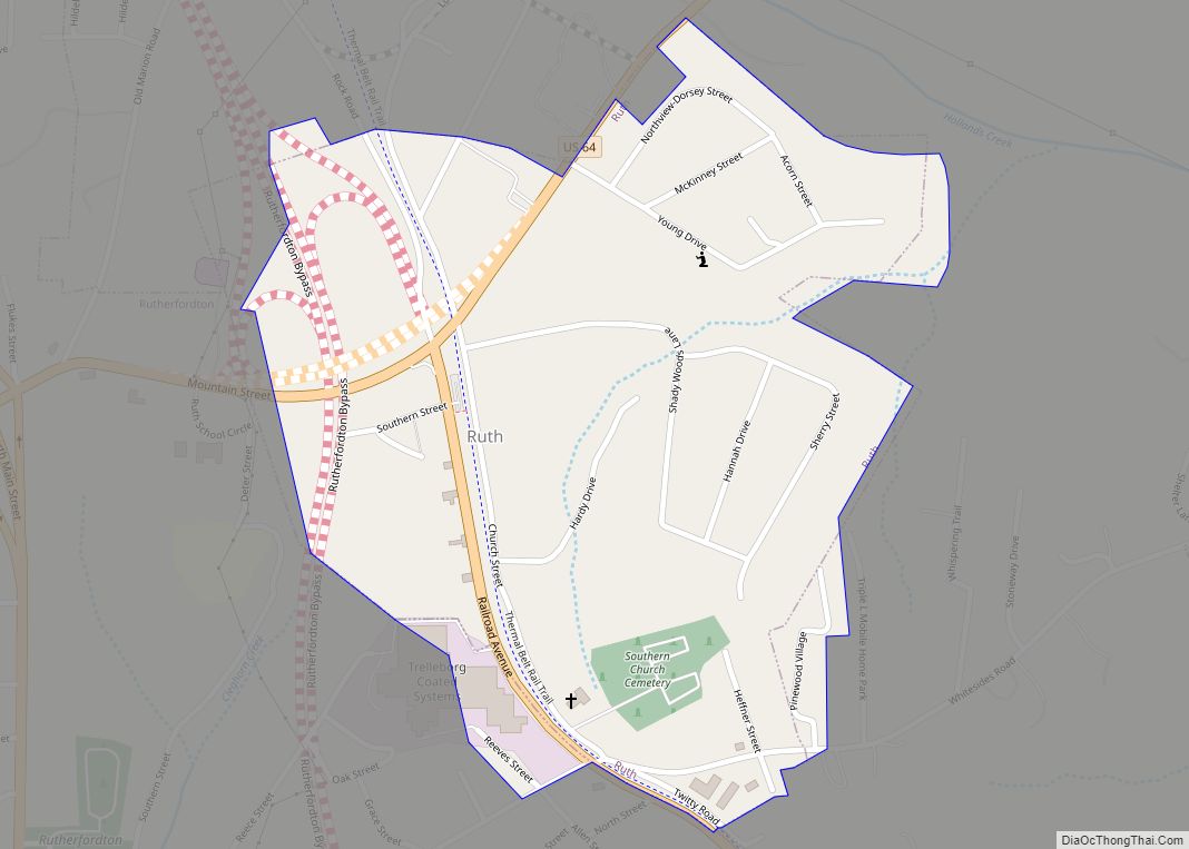
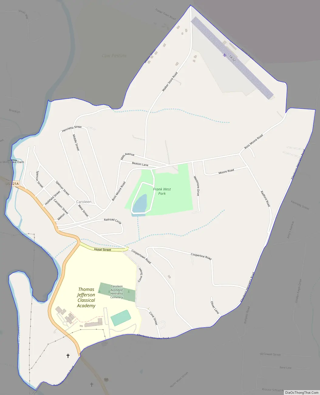
Caroleen Road Map
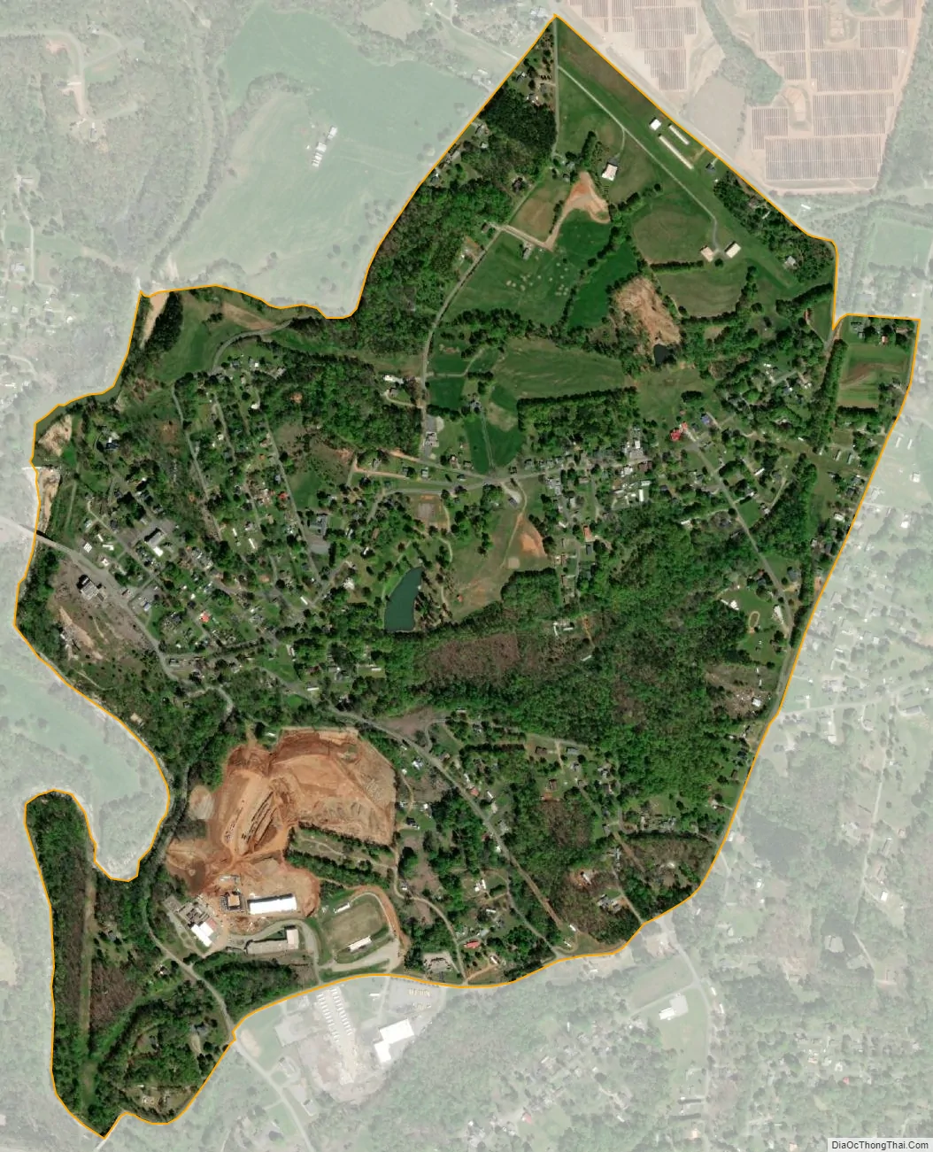
Caroleen city Satellite Map
See also
Map of North Carolina State and its subdivision:- Alamance
- Alexander
- Alleghany
- Anson
- Ashe
- Avery
- Beaufort
- Bertie
- Bladen
- Brunswick
- Buncombe
- Burke
- Cabarrus
- Caldwell
- Camden
- Carteret
- Caswell
- Catawba
- Chatham
- Cherokee
- Chowan
- Clay
- Cleveland
- Columbus
- Craven
- Cumberland
- Currituck
- Dare
- Davidson
- Davie
- Duplin
- Durham
- Edgecombe
- Forsyth
- Franklin
- Gaston
- Gates
- Graham
- Granville
- Greene
- Guilford
- Halifax
- Harnett
- Haywood
- Henderson
- Hertford
- Hoke
- Hyde
- Iredell
- Jackson
- Johnston
- Jones
- Lee
- Lenoir
- Lincoln
- Macon
- Madison
- Martin
- McDowell
- Mecklenburg
- Mitchell
- Montgomery
- Moore
- Nash
- New Hanover
- Northampton
- Onslow
- Orange
- Pamlico
- Pasquotank
- Pender
- Perquimans
- Person
- Pitt
- Polk
- Randolph
- Richmond
- Robeson
- Rockingham
- Rowan
- Rutherford
- Sampson
- Scotland
- Stanly
- Stokes
- Surry
- Swain
- Transylvania
- Tyrrell
- Union
- Vance
- Wake
- Warren
- Washington
- Watauga
- Wayne
- Wilkes
- Wilson
- Yadkin
- Yancey
- Alabama
- Alaska
- Arizona
- Arkansas
- California
- Colorado
- Connecticut
- Delaware
- District of Columbia
- Florida
- Georgia
- Hawaii
- Idaho
- Illinois
- Indiana
- Iowa
- Kansas
- Kentucky
- Louisiana
- Maine
- Maryland
- Massachusetts
- Michigan
- Minnesota
- Mississippi
- Missouri
- Montana
- Nebraska
- Nevada
- New Hampshire
- New Jersey
- New Mexico
- New York
- North Carolina
- North Dakota
- Ohio
- Oklahoma
- Oregon
- Pennsylvania
- Rhode Island
- South Carolina
- South Dakota
- Tennessee
- Texas
- Utah
- Vermont
- Virginia
- Washington
- West Virginia
- Wisconsin
- Wyoming