Cornelius is a suburban town located along Lake Norman in northern Mecklenburg County, North Carolina, United States. It is a major suburb in the Charlotte metropolitan area. The population was 24,866 at the 2010 census.
| Name: | Cornelius town |
|---|---|
| LSAD Code: | 43 |
| LSAD Description: | town (suffix) |
| State: | North Carolina |
| County: | Mecklenburg County |
| Elevation: | 804 ft (245 m) |
| Total Area: | 13.12 sq mi (33.98 km²) |
| Land Area: | 12.66 sq mi (32.78 km²) |
| Water Area: | 0.46 sq mi (1.20 km²) |
| Total Population: | 31,412 |
| Population Density: | 2,481.79/sq mi (958.23/km²) |
| ZIP code: | 28031 |
| Area code: | 704 |
| FIPS code: | 3714700 |
| GNISfeature ID: | 0983573 |
| Website: | www.cornelius.org |
Online Interactive Map
Click on ![]() to view map in "full screen" mode.
to view map in "full screen" mode.
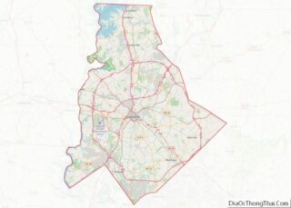
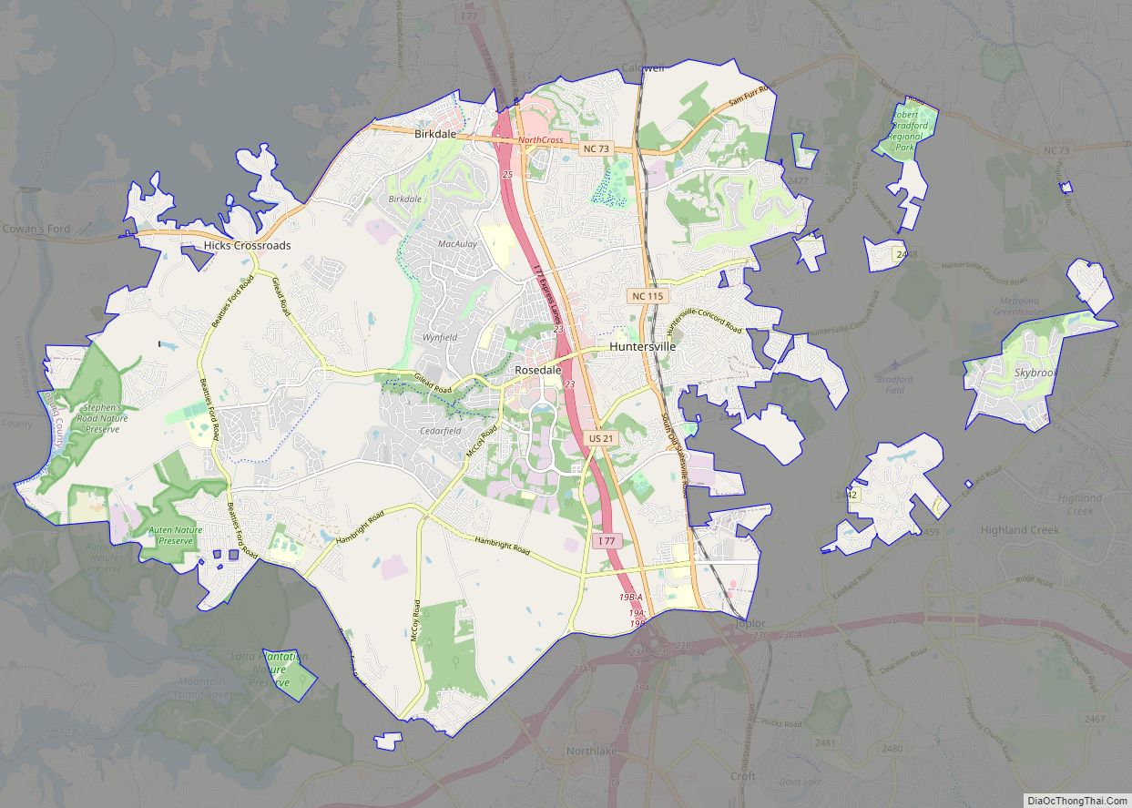
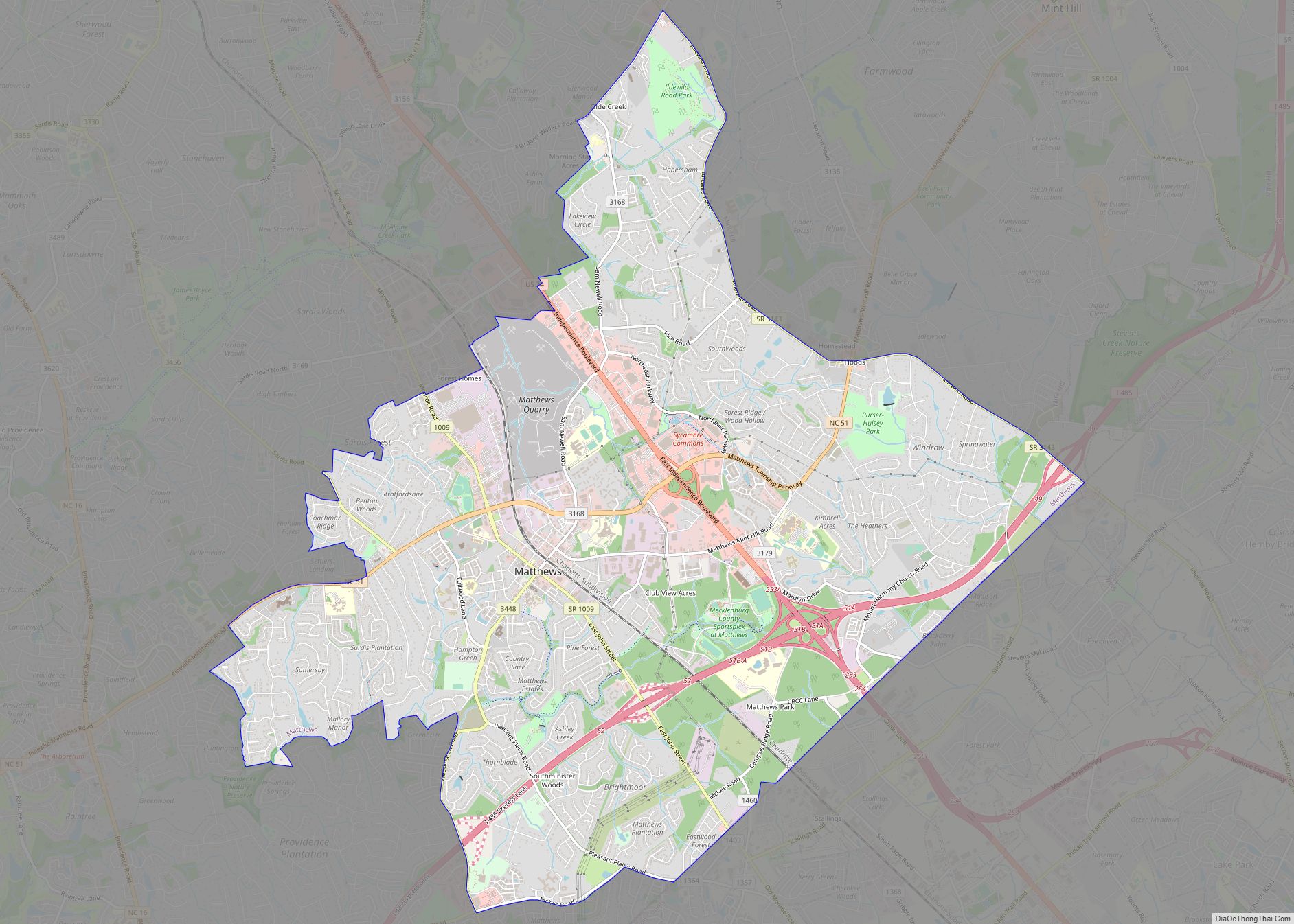
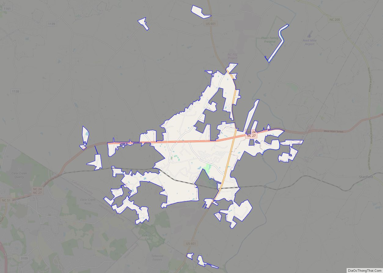
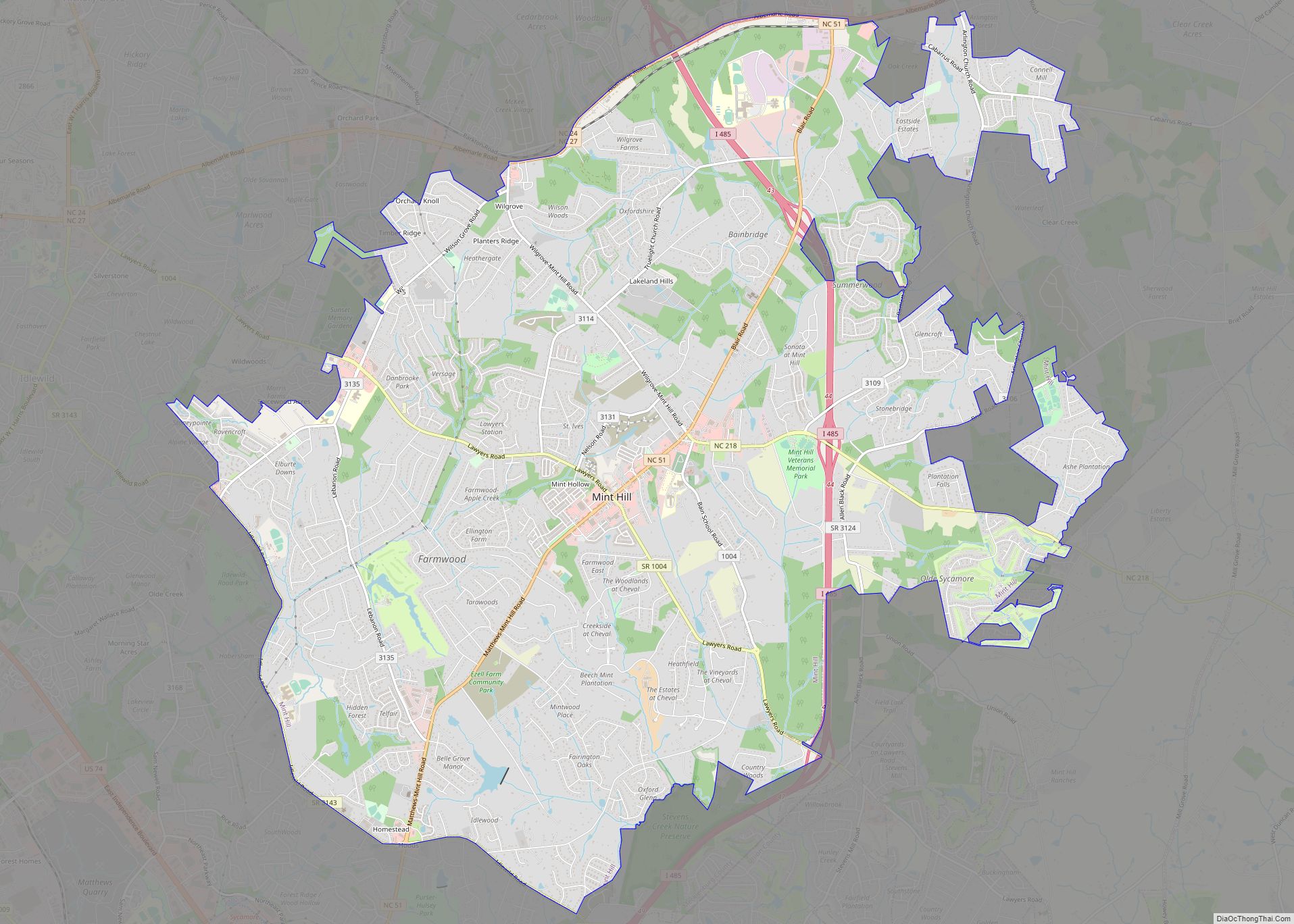
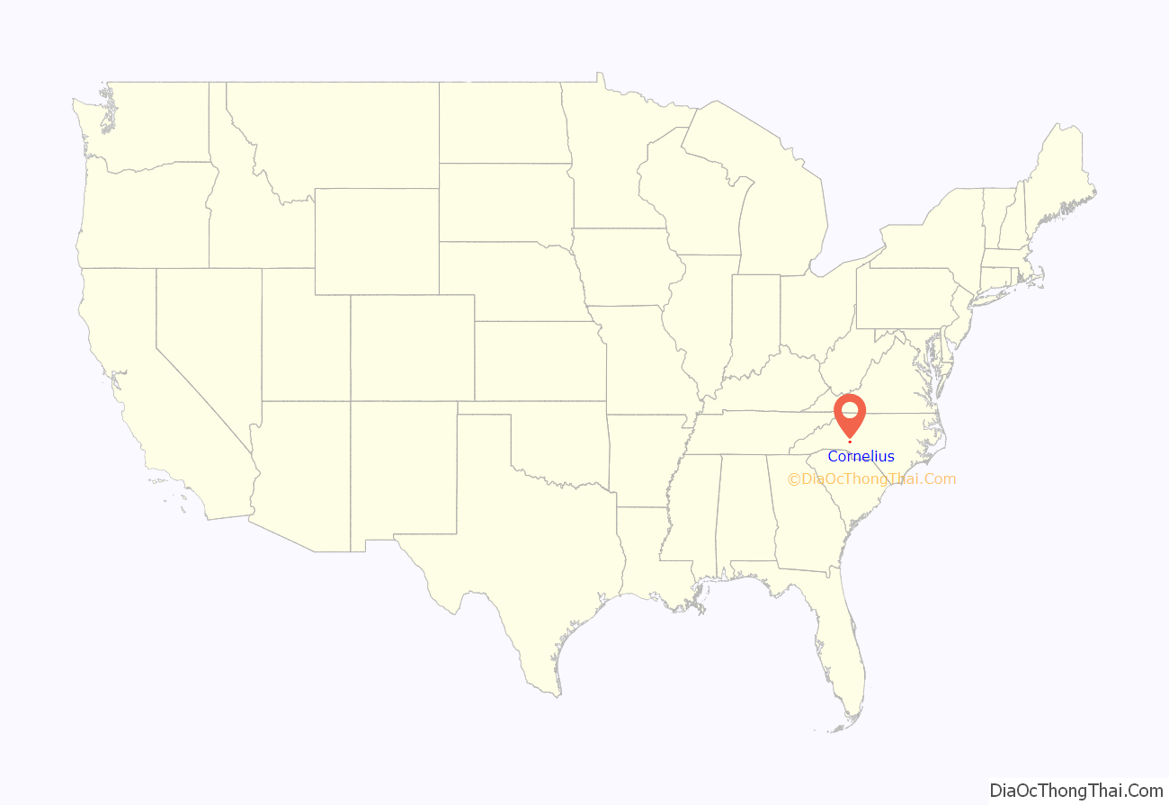
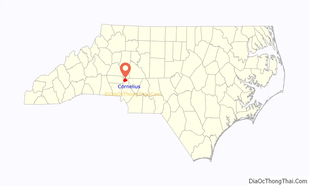
Cornelius location map. Where is Cornelius town?
History
Potts Plantation in Cornelius was listed on the National Register of Historic Places in 1998.
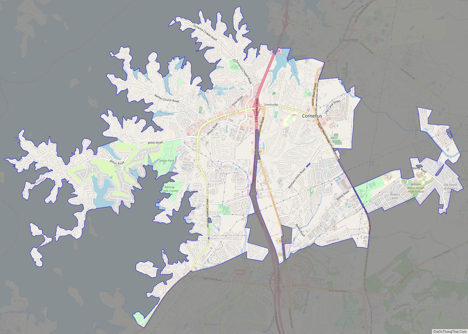
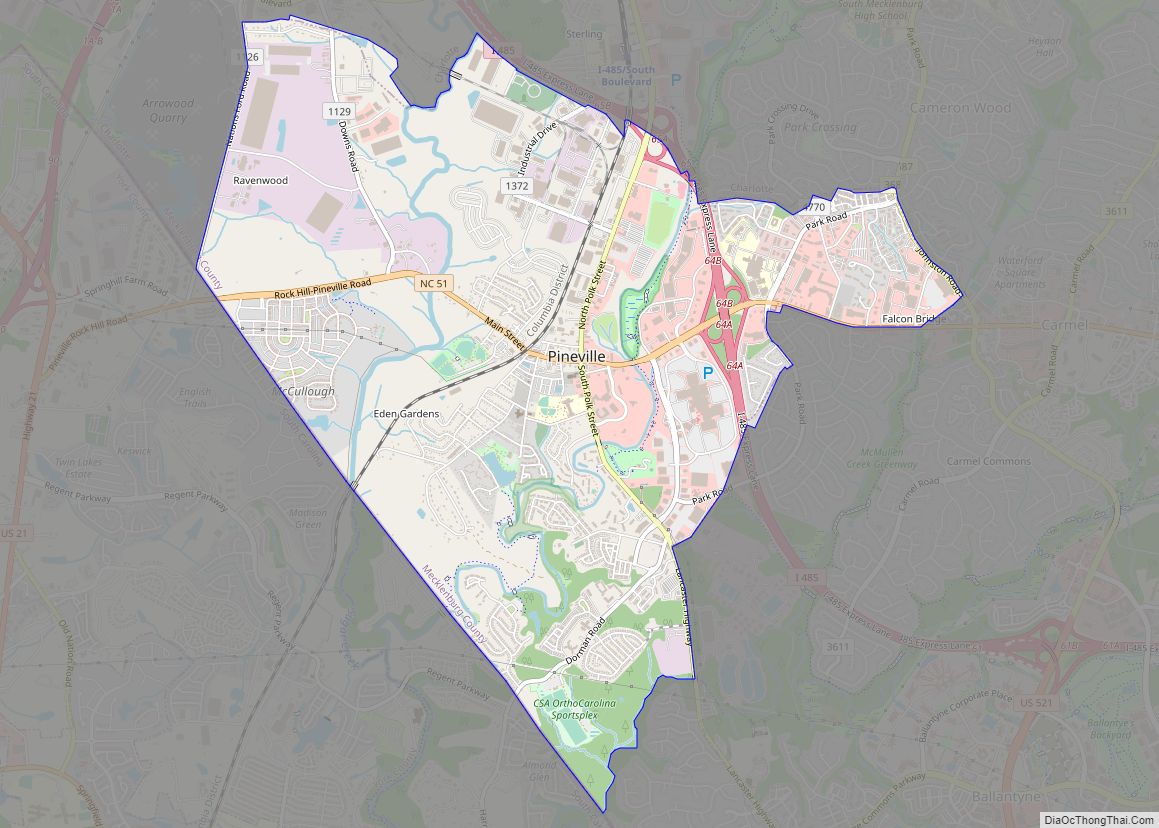
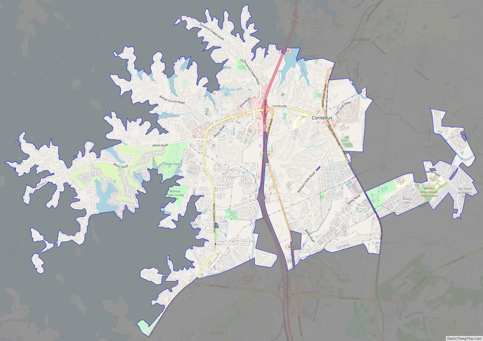
Cornelius Road Map
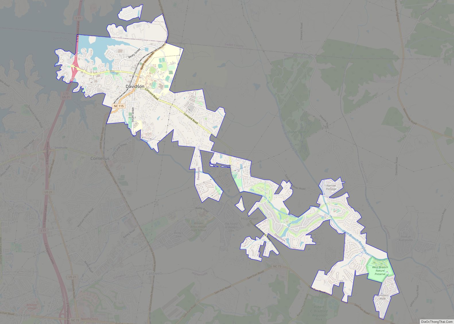
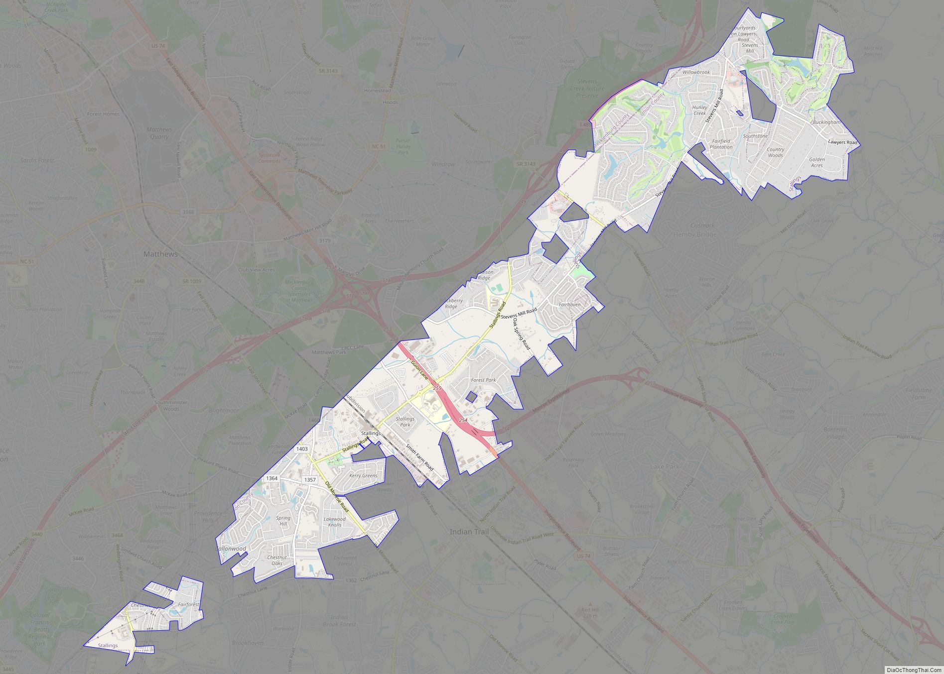
Cornelius city Satellite Map
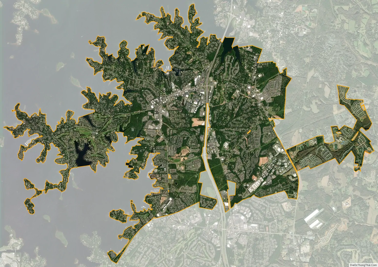
Geography
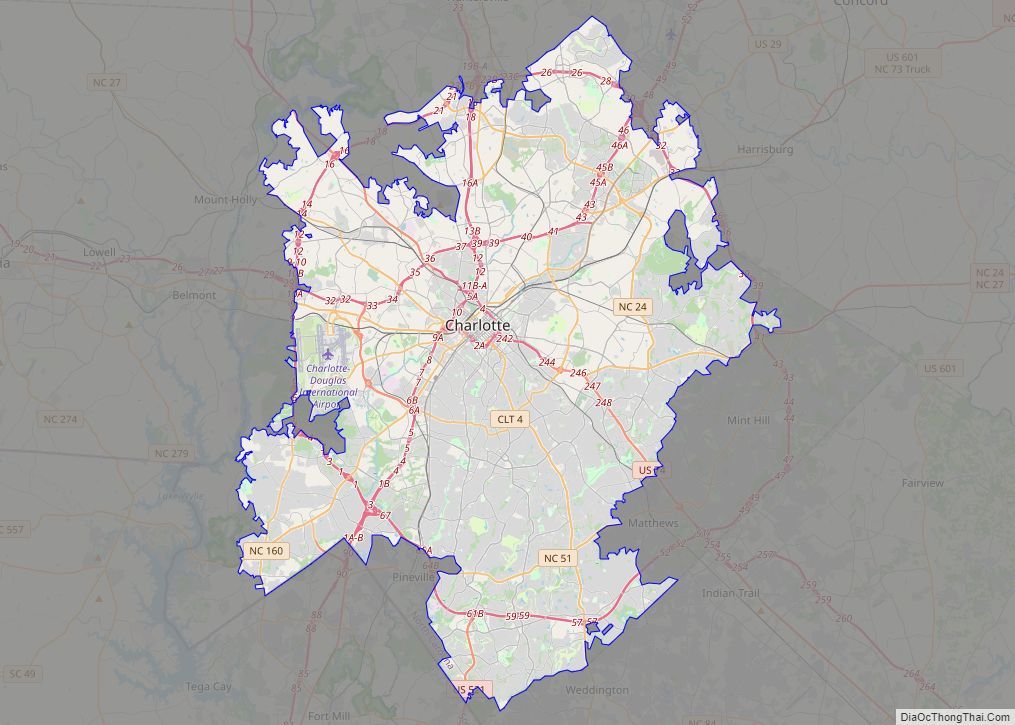
Cornelius is located along Lake Norman in northern Mecklenburg County. The town is approximately located at 35°28′44″N 80°53′04″W / 35.478954°N 80.884532°W / 35.478954; -80.884532 (35.478954, −80.884532).
According to the United States Census Bureau, the town has a total area of 12.1 square miles (31 km), of which 11.8 square miles (31 km) is land and 0.3 square miles (0.78 km) (3.20%) is water. Cornelius is one of three towns in Mecklenburg County located north of Charlotte. Along with its sister towns – Davidson and Huntersville – Cornelius serves as a suburb to Charlotte.
See also
Map of North Carolina State and its subdivision:- Alamance
- Alexander
- Alleghany
- Anson
- Ashe
- Avery
- Beaufort
- Bertie
- Bladen
- Brunswick
- Buncombe
- Burke
- Cabarrus
- Caldwell
- Camden
- Carteret
- Caswell
- Catawba
- Chatham
- Cherokee
- Chowan
- Clay
- Cleveland
- Columbus
- Craven
- Cumberland
- Currituck
- Dare
- Davidson
- Davie
- Duplin
- Durham
- Edgecombe
- Forsyth
- Franklin
- Gaston
- Gates
- Graham
- Granville
- Greene
- Guilford
- Halifax
- Harnett
- Haywood
- Henderson
- Hertford
- Hoke
- Hyde
- Iredell
- Jackson
- Johnston
- Jones
- Lee
- Lenoir
- Lincoln
- Macon
- Madison
- Martin
- McDowell
- Mecklenburg
- Mitchell
- Montgomery
- Moore
- Nash
- New Hanover
- Northampton
- Onslow
- Orange
- Pamlico
- Pasquotank
- Pender
- Perquimans
- Person
- Pitt
- Polk
- Randolph
- Richmond
- Robeson
- Rockingham
- Rowan
- Rutherford
- Sampson
- Scotland
- Stanly
- Stokes
- Surry
- Swain
- Transylvania
- Tyrrell
- Union
- Vance
- Wake
- Warren
- Washington
- Watauga
- Wayne
- Wilkes
- Wilson
- Yadkin
- Yancey
- Alabama
- Alaska
- Arizona
- Arkansas
- California
- Colorado
- Connecticut
- Delaware
- District of Columbia
- Florida
- Georgia
- Hawaii
- Idaho
- Illinois
- Indiana
- Iowa
- Kansas
- Kentucky
- Louisiana
- Maine
- Maryland
- Massachusetts
- Michigan
- Minnesota
- Mississippi
- Missouri
- Montana
- Nebraska
- Nevada
- New Hampshire
- New Jersey
- New Mexico
- New York
- North Carolina
- North Dakota
- Ohio
- Oklahoma
- Oregon
- Pennsylvania
- Rhode Island
- South Carolina
- South Dakota
- Tennessee
- Texas
- Utah
- Vermont
- Virginia
- Washington
- West Virginia
- Wisconsin
- Wyoming