Midland is a town in southern Cabarrus County in the U.S. state of North Carolina. Located in the Charlotte region of North Carolina, Midland is a 30-minute commute to uptown Charlotte. The name of the town is derived from its location approximately halfway between Charlotte and Oakboro on the railroad line. The population was 3,073 at the 2010 census.
Visitors and new residents to the area are often surprised to learn the local pronunciation of the town’s name. In local parlance, “Midland” is pronounced as a spondee, with nearly equal verbal emphasis on both first and last syllables. Other Midlands around the country, including those in Texas and Michigan, are generally pronounced with emphasis on the first syllable. While Midlanders may refer to “MID-lind,” Texas, they themselves live in “MID-LAND,” North Carolina.
The U.S. Postal Service has maintained a post office in Midland for many years (ZIP code 28107), and rural mail routes extend from Midland into portions of four counties.
| Name: | Midland town |
|---|---|
| LSAD Code: | 43 |
| LSAD Description: | town (suffix) |
| State: | North Carolina |
| County: | Cabarrus County, Mecklenburg County |
| Founded: | 1913 |
| Incorporated: | 2000 |
| Elevation: | 500 ft (200 m) |
| Total Area: | 13.30 sq mi (34.46 km²) |
| Land Area: | 13.30 sq mi (34.46 km²) |
| Water Area: | 0.00 sq mi (0.00 km²) |
| Total Population: | 4,684 |
| Population Density: | 352.07/sq mi (135.94/km²) |
| ZIP code: | 28107 |
| FIPS code: | 3742760 |
| Website: | www.midlandnc.us |
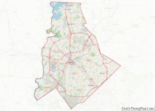
Online Interactive Map
Click on ![]() to view map in "full screen" mode.
to view map in "full screen" mode.
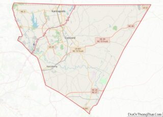
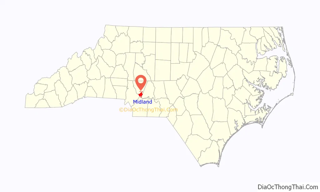
Midland location map. Where is Midland town?

History
Midland began as a railroad town about 1913 with the arrival of rail service via the North Carolina Railroad (NCRR). The town is now incorporated, as of 2000. Prior to Midland’s becoming a railroad village, a community named Garmon existed in the area (a few miles to the east) around the Garmon Mill begun by Michael Garmon in the late-1700s, and Garmon appears on an 1864 map of North Carolina. Another community located to the west, Cabarrus Station, also predated Midland as a railroad stop, and has been incorporated into the town of Midland.
Formerly, the economy of Midland was essentially agricultural with some textile-related manufacturing jobs. With the growth of Charlotte to the west, farming has played a decreasing role in the economic life of the town. Increasingly, Midland has become a bedroom community for those commuting to work in nearby Charlotte and Concord. For many years, there were very few “outsiders” moving to Midland, but over the past two decades, many people with no familial roots in the area have settled there. New residents are attracted to the area for its lower taxes, less expensive housing and real estate prices, and a more rural flavor than that which is to be found in Charlotte or the surrounding larger communities.
The Reed Gold Mine, site of the first discovery of gold in the United States, is located east of the town. The Reed Gold Mine is now a historic site under state management and is open to the public. Visitors to the mine can tour a museum with extensive information and displays on North Carolina gold mining, and can walk through several hundred feet of mine tunnels. The area was an important gold mining center in the 19th century; however, gold mining activity in the region predates the founding of Midland.
The Bethel Church Arbor, John Bunyan Green Farm, and Robert Harvey Morrison Farm and Pioneer Mills Gold Mine are listed on the National Register of Historic Places.
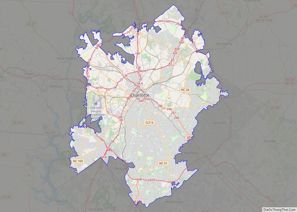
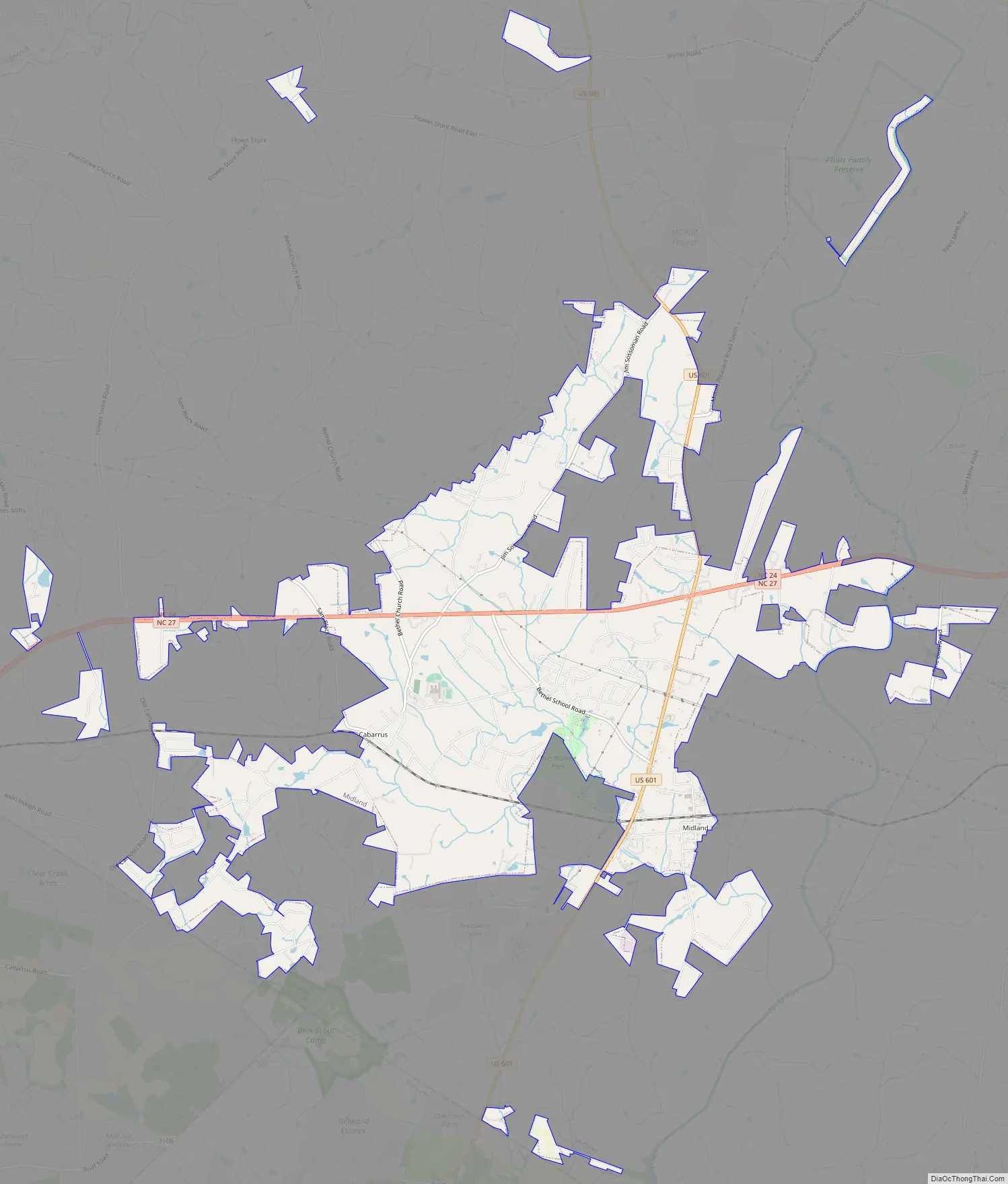
Midland Road Map
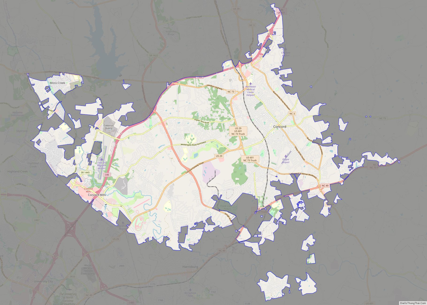
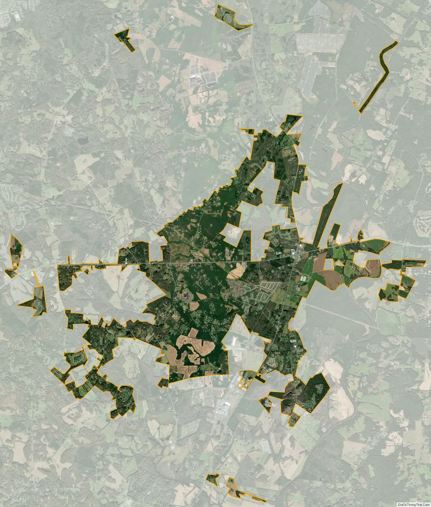
Midland city Satellite Map
Geography
The climate in Midland is temperate, with chilly winters and hot summers. Thunderstorms are frequent in warmer weather. Severe weather occurs occasionally, and a few tornadoes have been recorded in Midland and its vicinity. Snow accumulations occur on occasion in the winter, and anywhere from zero to three significant accumulations of snow might reasonably be expected in an average winter. Accumulating snows generally melt away between snow events, and there is no consistent snowpack in winter. Pleasantly warm daytime temperatures may be experienced into November. Rainfall averages 40–45 inches (1,000–1,100 mm) per year.
The town sits approximately 500–550 feet (150–170 m) above sea level. The land is gently rolling with no especially high points. The most common soil type is a red clay. The area is drained by the Rocky River, which is relatively small and generally shallow. Trees are abundant. There are no significant lakes in the town. Coordinates for Midland are 35°13′38″N 80°30′03″W / 35.22722°N 80.50083°W / 35.22722; -80.50083. The town is located approximately 249 miles (401 km) northeast of Atlanta, 526 miles (847 km) southwest of New York City, 614 miles (988 km) southeast of Chicago, and 650 miles (1,050 km) north of Miami. From Midland, it is 2,423 miles (3,899 km) to the Equator and 3,792 miles (6,103 km) to the North Pole.
US Highway 601 and NC 24/27 are the major highways. There are two traffic signals in the town – one at the intersection of Highway 601 and State Road 24/27, which is north of Midland proper and was once known locally as “Hell’s Half Acre”, and the other at the intersection of State Road 24/27 and Bethel Church Road. Via US 601 it is 15 miles (24 km) north to Concord and 18 miles (29 km) south to Monroe, while NC 24/27 leads east 19 miles (31 km) to Albemarle and west 21 miles (34 km) to the center of Charlotte.
Midland has a very small downtown area along Kingsbury Drive. There are four buildings along the road in the area as well as parking spaces and a crosswalk.
See also
Map of North Carolina State and its subdivision:- Alamance
- Alexander
- Alleghany
- Anson
- Ashe
- Avery
- Beaufort
- Bertie
- Bladen
- Brunswick
- Buncombe
- Burke
- Cabarrus
- Caldwell
- Camden
- Carteret
- Caswell
- Catawba
- Chatham
- Cherokee
- Chowan
- Clay
- Cleveland
- Columbus
- Craven
- Cumberland
- Currituck
- Dare
- Davidson
- Davie
- Duplin
- Durham
- Edgecombe
- Forsyth
- Franklin
- Gaston
- Gates
- Graham
- Granville
- Greene
- Guilford
- Halifax
- Harnett
- Haywood
- Henderson
- Hertford
- Hoke
- Hyde
- Iredell
- Jackson
- Johnston
- Jones
- Lee
- Lenoir
- Lincoln
- Macon
- Madison
- Martin
- McDowell
- Mecklenburg
- Mitchell
- Montgomery
- Moore
- Nash
- New Hanover
- Northampton
- Onslow
- Orange
- Pamlico
- Pasquotank
- Pender
- Perquimans
- Person
- Pitt
- Polk
- Randolph
- Richmond
- Robeson
- Rockingham
- Rowan
- Rutherford
- Sampson
- Scotland
- Stanly
- Stokes
- Surry
- Swain
- Transylvania
- Tyrrell
- Union
- Vance
- Wake
- Warren
- Washington
- Watauga
- Wayne
- Wilkes
- Wilson
- Yadkin
- Yancey
- Alabama
- Alaska
- Arizona
- Arkansas
- California
- Colorado
- Connecticut
- Delaware
- District of Columbia
- Florida
- Georgia
- Hawaii
- Idaho
- Illinois
- Indiana
- Iowa
- Kansas
- Kentucky
- Louisiana
- Maine
- Maryland
- Massachusetts
- Michigan
- Minnesota
- Mississippi
- Missouri
- Montana
- Nebraska
- Nevada
- New Hampshire
- New Jersey
- New Mexico
- New York
- North Carolina
- North Dakota
- Ohio
- Oklahoma
- Oregon
- Pennsylvania
- Rhode Island
- South Carolina
- South Dakota
- Tennessee
- Texas
- Utah
- Vermont
- Virginia
- Washington
- West Virginia
- Wisconsin
- Wyoming