East Spencer is a town in Rowan County, North Carolina, United States. The population was 1,534 at the 2010 census. Originally called “Southern City” because of significance of the railway to the area, it was incorporated in 1901 as East Spencer. It was named for the Spencer shops that opened in the area in 1896.
| Name: | East Spencer town |
|---|---|
| LSAD Code: | 43 |
| LSAD Description: | town (suffix) |
| State: | North Carolina |
| County: | Rowan County |
| Elevation: | 728 ft (222 m) |
| Total Area: | 2.11 sq mi (5.46 km²) |
| Land Area: | 2.11 sq mi (5.46 km²) |
| Water Area: | 0.00 sq mi (0.00 km²) |
| Total Population: | 1,567 |
| Population Density: | 743.36/sq mi (287.08/km²) |
| ZIP code: | 28039 |
| Area code: | 704 |
| FIPS code: | 3719860 |
| GNISfeature ID: | 1020093 |
Online Interactive Map
Click on ![]() to view map in "full screen" mode.
to view map in "full screen" mode.
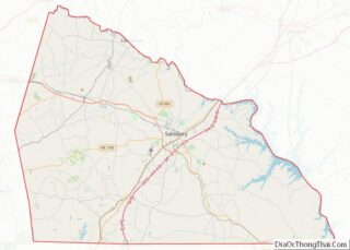
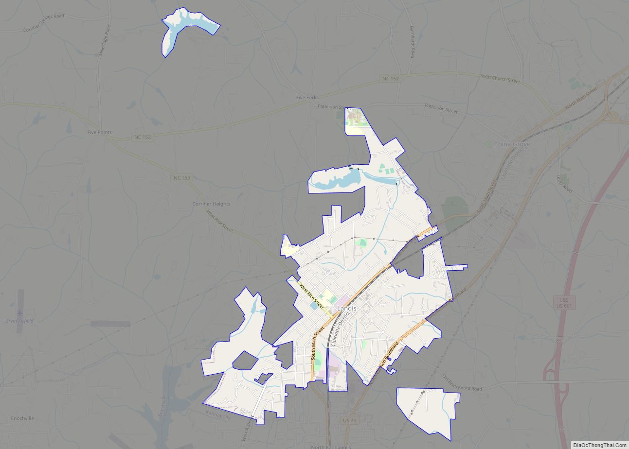
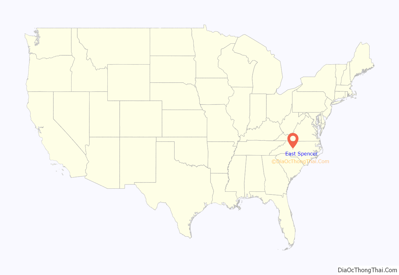
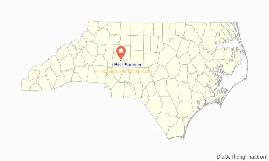
East Spencer location map. Where is East Spencer town?
East Spencer Road Map
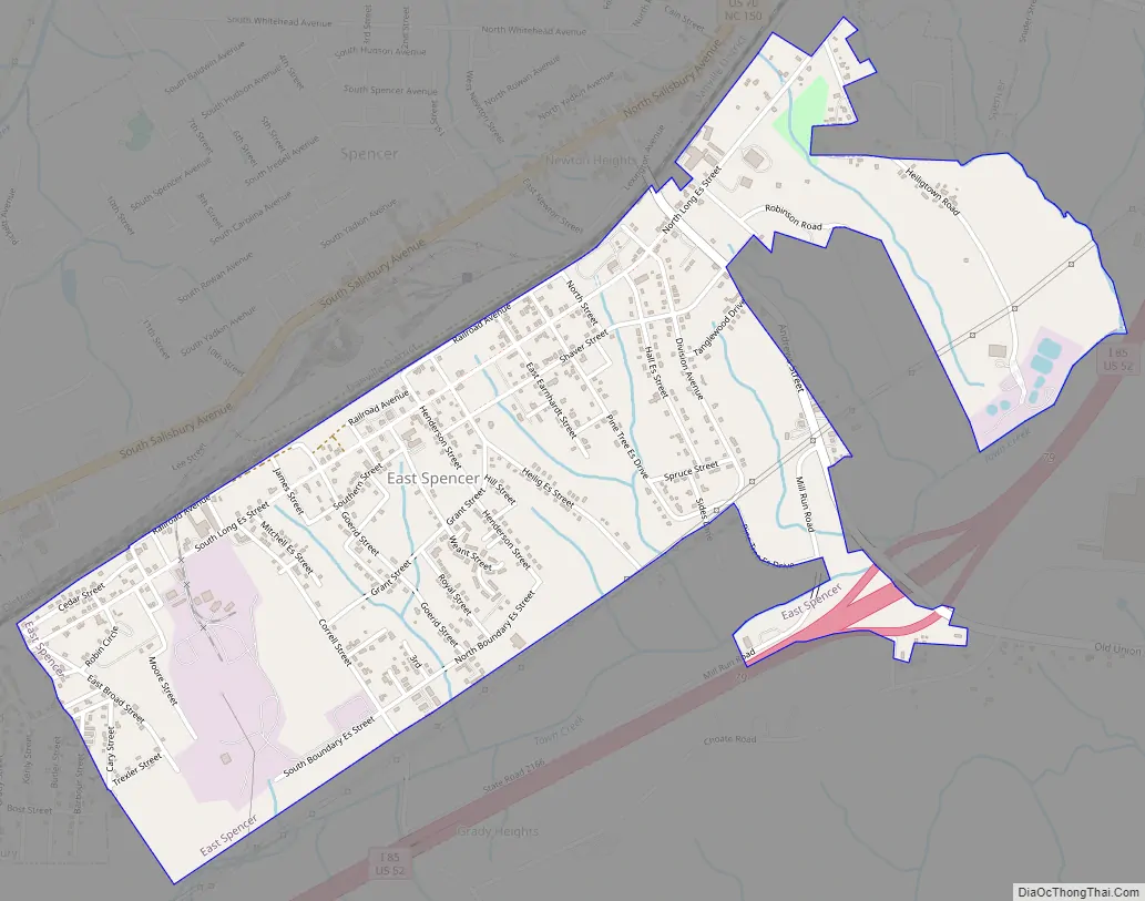
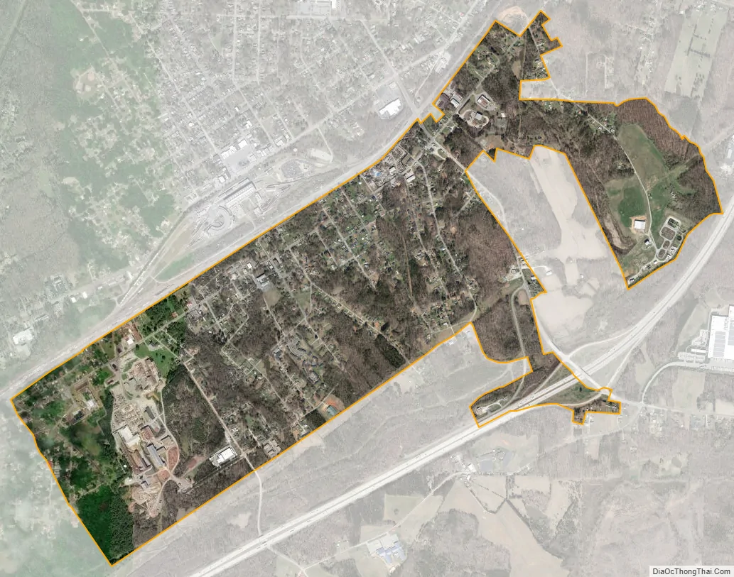
East Spencer city Satellite Map
Geography
East Spencer is located at 35°40′58″N 80°25′53″W / 35.68278°N 80.43139°W / 35.68278; -80.43139 (35.682780, -80.431271). East Spencer is adjacent to and south of the town of Spencer, North Carolina. The Southern Railway tracks separate the two towns.
According to the United States Census Bureau, the town has a total area of 1.6 square miles (4.1 km), all land.
See also
Map of North Carolina State and its subdivision:- Alamance
- Alexander
- Alleghany
- Anson
- Ashe
- Avery
- Beaufort
- Bertie
- Bladen
- Brunswick
- Buncombe
- Burke
- Cabarrus
- Caldwell
- Camden
- Carteret
- Caswell
- Catawba
- Chatham
- Cherokee
- Chowan
- Clay
- Cleveland
- Columbus
- Craven
- Cumberland
- Currituck
- Dare
- Davidson
- Davie
- Duplin
- Durham
- Edgecombe
- Forsyth
- Franklin
- Gaston
- Gates
- Graham
- Granville
- Greene
- Guilford
- Halifax
- Harnett
- Haywood
- Henderson
- Hertford
- Hoke
- Hyde
- Iredell
- Jackson
- Johnston
- Jones
- Lee
- Lenoir
- Lincoln
- Macon
- Madison
- Martin
- McDowell
- Mecklenburg
- Mitchell
- Montgomery
- Moore
- Nash
- New Hanover
- Northampton
- Onslow
- Orange
- Pamlico
- Pasquotank
- Pender
- Perquimans
- Person
- Pitt
- Polk
- Randolph
- Richmond
- Robeson
- Rockingham
- Rowan
- Rutherford
- Sampson
- Scotland
- Stanly
- Stokes
- Surry
- Swain
- Transylvania
- Tyrrell
- Union
- Vance
- Wake
- Warren
- Washington
- Watauga
- Wayne
- Wilkes
- Wilson
- Yadkin
- Yancey
- Alabama
- Alaska
- Arizona
- Arkansas
- California
- Colorado
- Connecticut
- Delaware
- District of Columbia
- Florida
- Georgia
- Hawaii
- Idaho
- Illinois
- Indiana
- Iowa
- Kansas
- Kentucky
- Louisiana
- Maine
- Maryland
- Massachusetts
- Michigan
- Minnesota
- Mississippi
- Missouri
- Montana
- Nebraska
- Nevada
- New Hampshire
- New Jersey
- New Mexico
- New York
- North Carolina
- North Dakota
- Ohio
- Oklahoma
- Oregon
- Pennsylvania
- Rhode Island
- South Carolina
- South Dakota
- Tennessee
- Texas
- Utah
- Vermont
- Virginia
- Washington
- West Virginia
- Wisconsin
- Wyoming