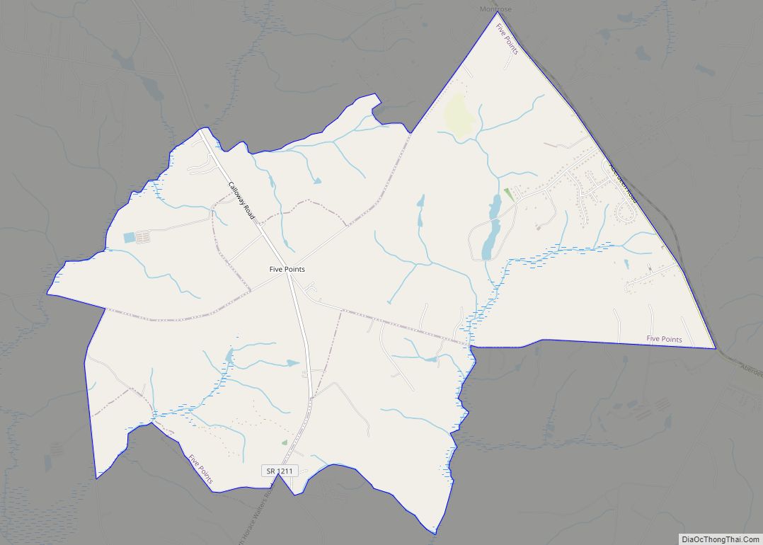
Five Points is a census-designated place (CDP) in Hoke County, North Carolina, United States. The population was 689 at the 2010 census.
| Name: | Five Points CDP |
|---|---|
| LSAD Code: | 57 |
| LSAD Description: | CDP (suffix) |
| State: | North Carolina |
| County: | Hoke County |
| Elevation: | 364 ft (111 m) |
| Total Area: | 8.28 sq mi (21.45 km²) |
| Land Area: | 8.28 sq mi (21.45 km²) |
| Water Area: | 0.00 sq mi (0.00 km²) |
| Total Population: | 961 |
| Population Density: | 116.06/sq mi (44.81/km²) |
| ZIP code: | 28376 |
| FIPS code: | 3723520 |
| GNISfeature ID: | 0985134 |
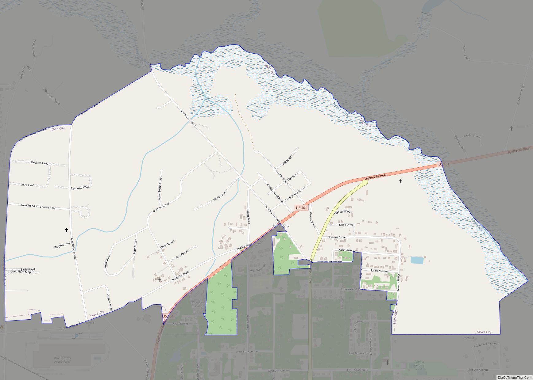
Online Interactive Map
Click on ![]() to view map in "full screen" mode.
to view map in "full screen" mode.
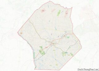
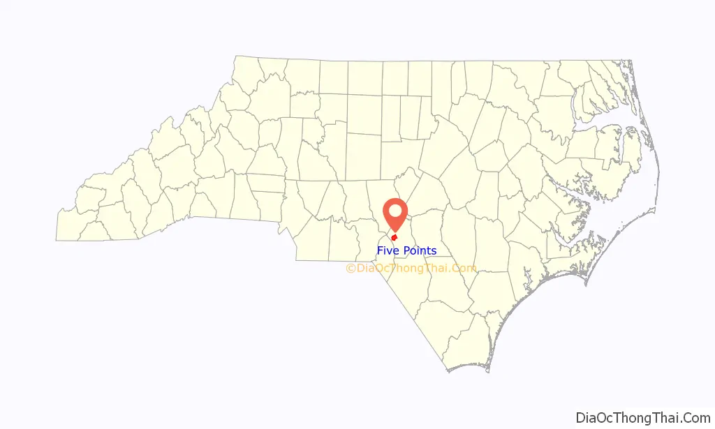
Five Points location map. Where is Five Points CDP?

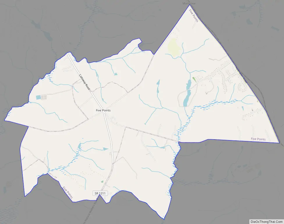
Five Points Road Map
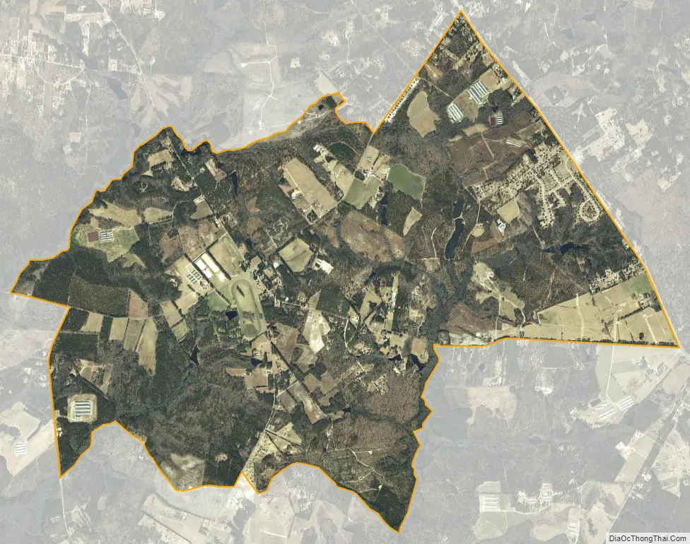
Five Points city Satellite Map
Geography
Five Points is located in western Hoke County at 35°0′49″N 79°21′31″W / 35.01361°N 79.35861°W / 35.01361; -79.35861 (35.013507, -79.358704). The original “Five Points” is the intersection of Calloway Road, Montrose Road, and N. Horace Walters Road, 8 miles (13 km) northwest of Raeford, the Hoke county seat. The Five Points CDP extends east as far as North Carolina Highway 211 and west to Pendergrass Road and Mountain Creek.
According to the United States Census Bureau, the CDP has a total area of 8.3 square miles (21.4 km), all of it land. The community is drained by Mountain Creek, Little Creek, and Buffalo Creek, all southwest-flowing tributaries of Drowning Creek, the upstream name of the Lumber River.
See also
Map of North Carolina State and its subdivision:- Alamance
- Alexander
- Alleghany
- Anson
- Ashe
- Avery
- Beaufort
- Bertie
- Bladen
- Brunswick
- Buncombe
- Burke
- Cabarrus
- Caldwell
- Camden
- Carteret
- Caswell
- Catawba
- Chatham
- Cherokee
- Chowan
- Clay
- Cleveland
- Columbus
- Craven
- Cumberland
- Currituck
- Dare
- Davidson
- Davie
- Duplin
- Durham
- Edgecombe
- Forsyth
- Franklin
- Gaston
- Gates
- Graham
- Granville
- Greene
- Guilford
- Halifax
- Harnett
- Haywood
- Henderson
- Hertford
- Hoke
- Hyde
- Iredell
- Jackson
- Johnston
- Jones
- Lee
- Lenoir
- Lincoln
- Macon
- Madison
- Martin
- McDowell
- Mecklenburg
- Mitchell
- Montgomery
- Moore
- Nash
- New Hanover
- Northampton
- Onslow
- Orange
- Pamlico
- Pasquotank
- Pender
- Perquimans
- Person
- Pitt
- Polk
- Randolph
- Richmond
- Robeson
- Rockingham
- Rowan
- Rutherford
- Sampson
- Scotland
- Stanly
- Stokes
- Surry
- Swain
- Transylvania
- Tyrrell
- Union
- Vance
- Wake
- Warren
- Washington
- Watauga
- Wayne
- Wilkes
- Wilson
- Yadkin
- Yancey
- Alabama
- Alaska
- Arizona
- Arkansas
- California
- Colorado
- Connecticut
- Delaware
- District of Columbia
- Florida
- Georgia
- Hawaii
- Idaho
- Illinois
- Indiana
- Iowa
- Kansas
- Kentucky
- Louisiana
- Maine
- Maryland
- Massachusetts
- Michigan
- Minnesota
- Mississippi
- Missouri
- Montana
- Nebraska
- Nevada
- New Hampshire
- New Jersey
- New Mexico
- New York
- North Carolina
- North Dakota
- Ohio
- Oklahoma
- Oregon
- Pennsylvania
- Rhode Island
- South Carolina
- South Dakota
- Tennessee
- Texas
- Utah
- Vermont
- Virginia
- Washington
- West Virginia
- Wisconsin
- Wyoming