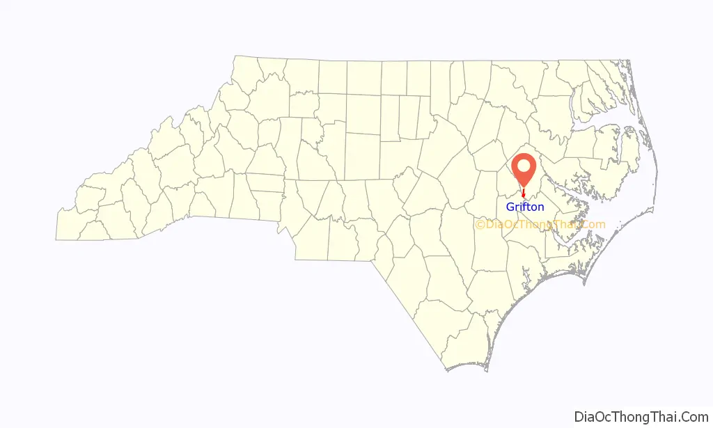
Grifton is a town in Lenoir and Pitt counties, North Carolina, United States. The population was 2,617 at the 2010 Census. The Pitt County portion of the town is a part of the Greenville Metropolitan Area located in North Carolina’s Inner Banks region.
| Name: | Grifton town |
|---|---|
| LSAD Code: | 43 |
| LSAD Description: | town (suffix) |
| State: | North Carolina |
| County: | Lenoir County, Pitt County |
| Elevation: | 26 ft (8 m) |
| Total Area: | 2.68 sq mi (6.95 km²) |
| Land Area: | 2.68 sq mi (6.95 km²) |
| Water Area: | 0.00 sq mi (0.00 km²) |
| Total Population: | 2,448 |
| Population Density: | 912.75/sq mi (352.36/km²) |
| ZIP code: | 28530 |
| Area code: | 252 |
| FIPS code: | 3728200 |
| GNISfeature ID: | 1024010 |
| Website: | www.grifton.com |
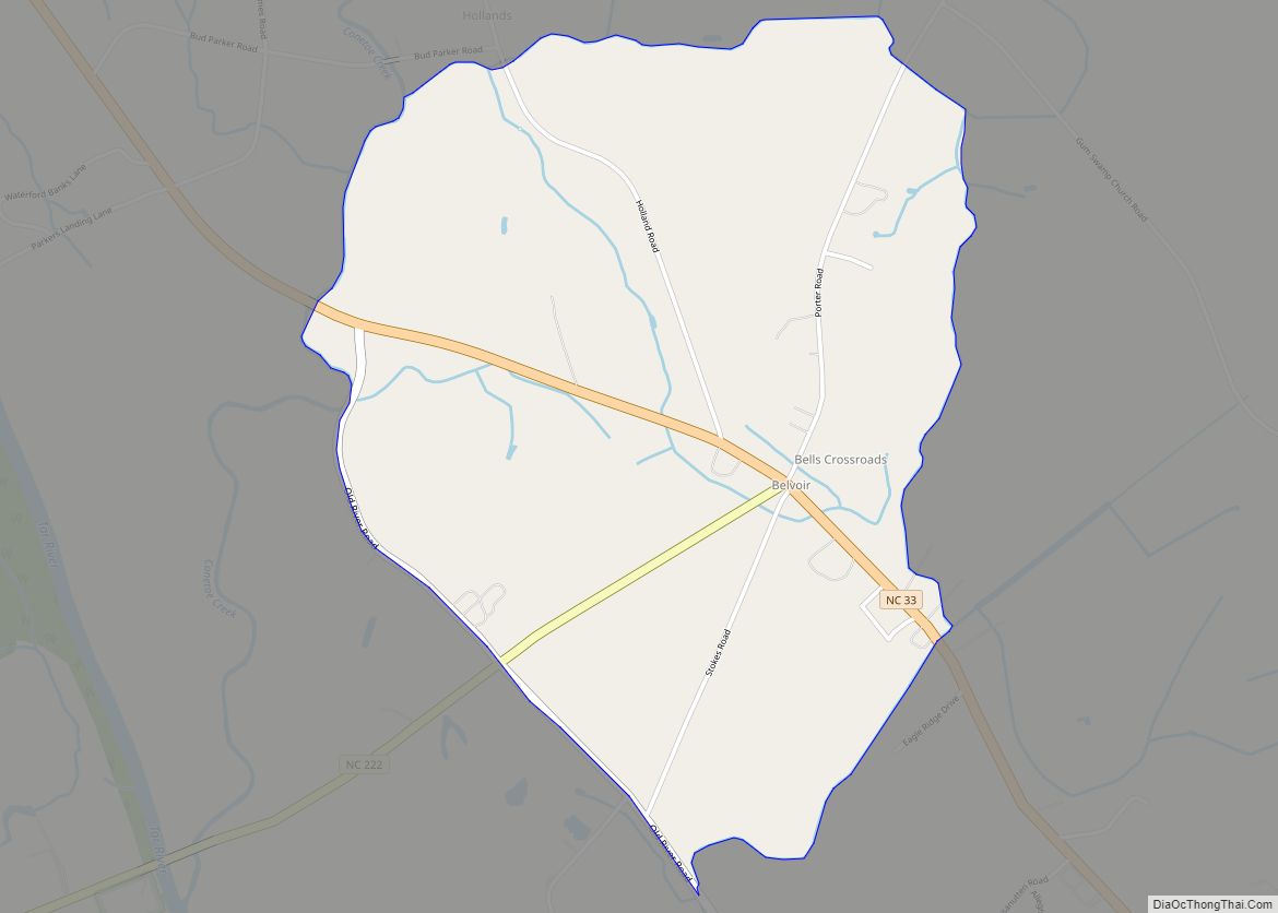
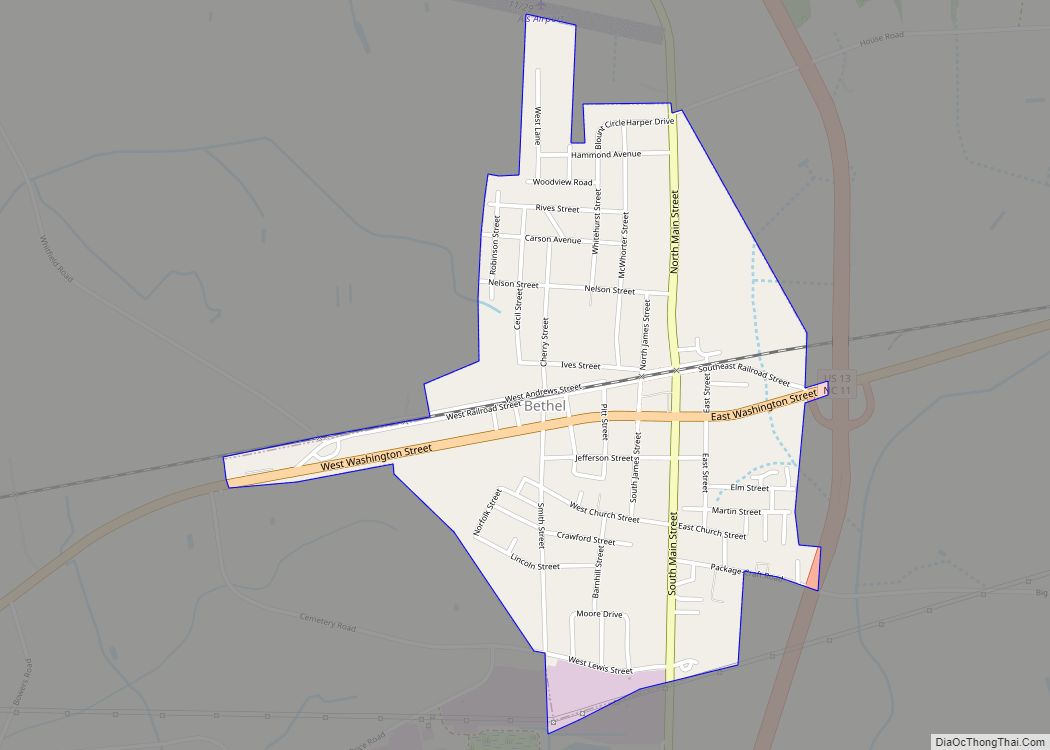
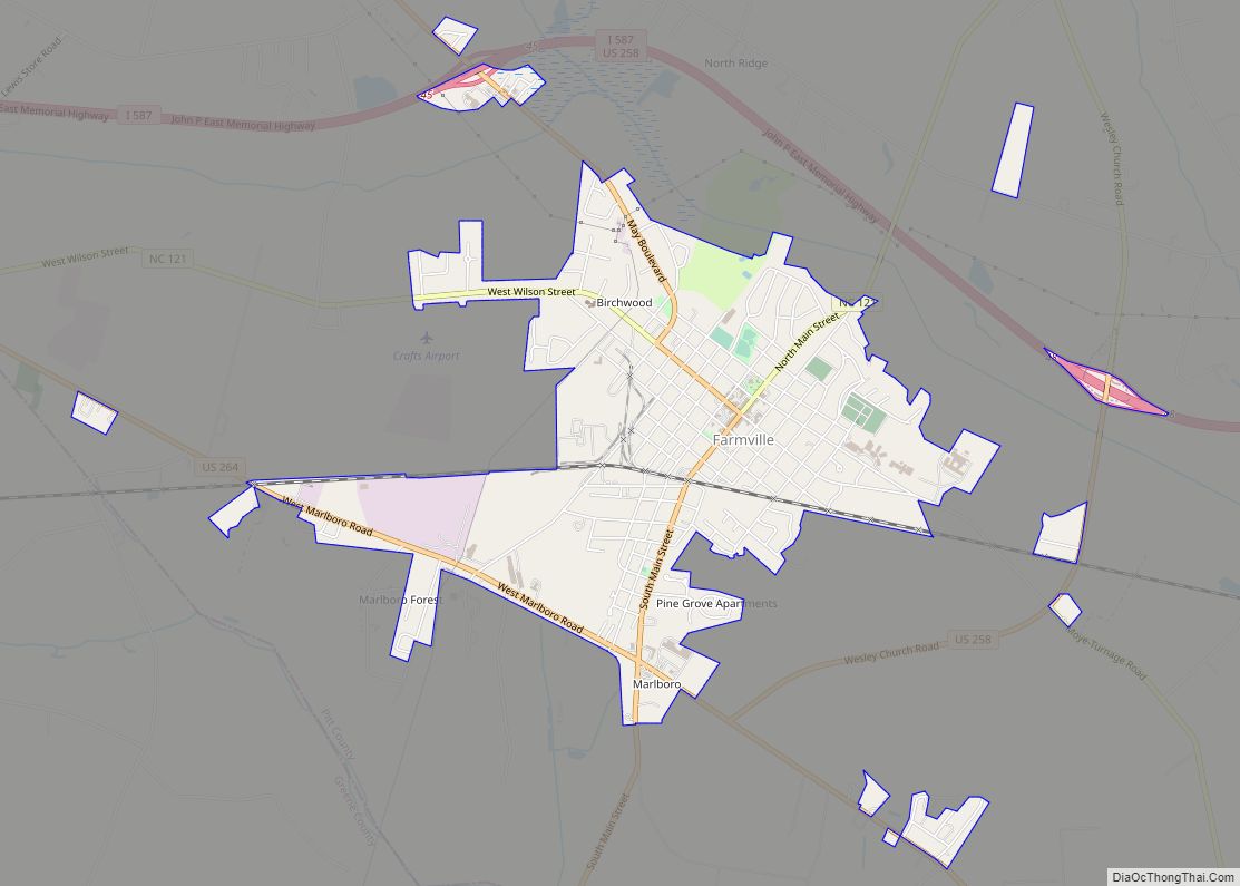
Online Interactive Map
Click on ![]() to view map in "full screen" mode.
to view map in "full screen" mode.
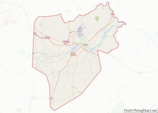
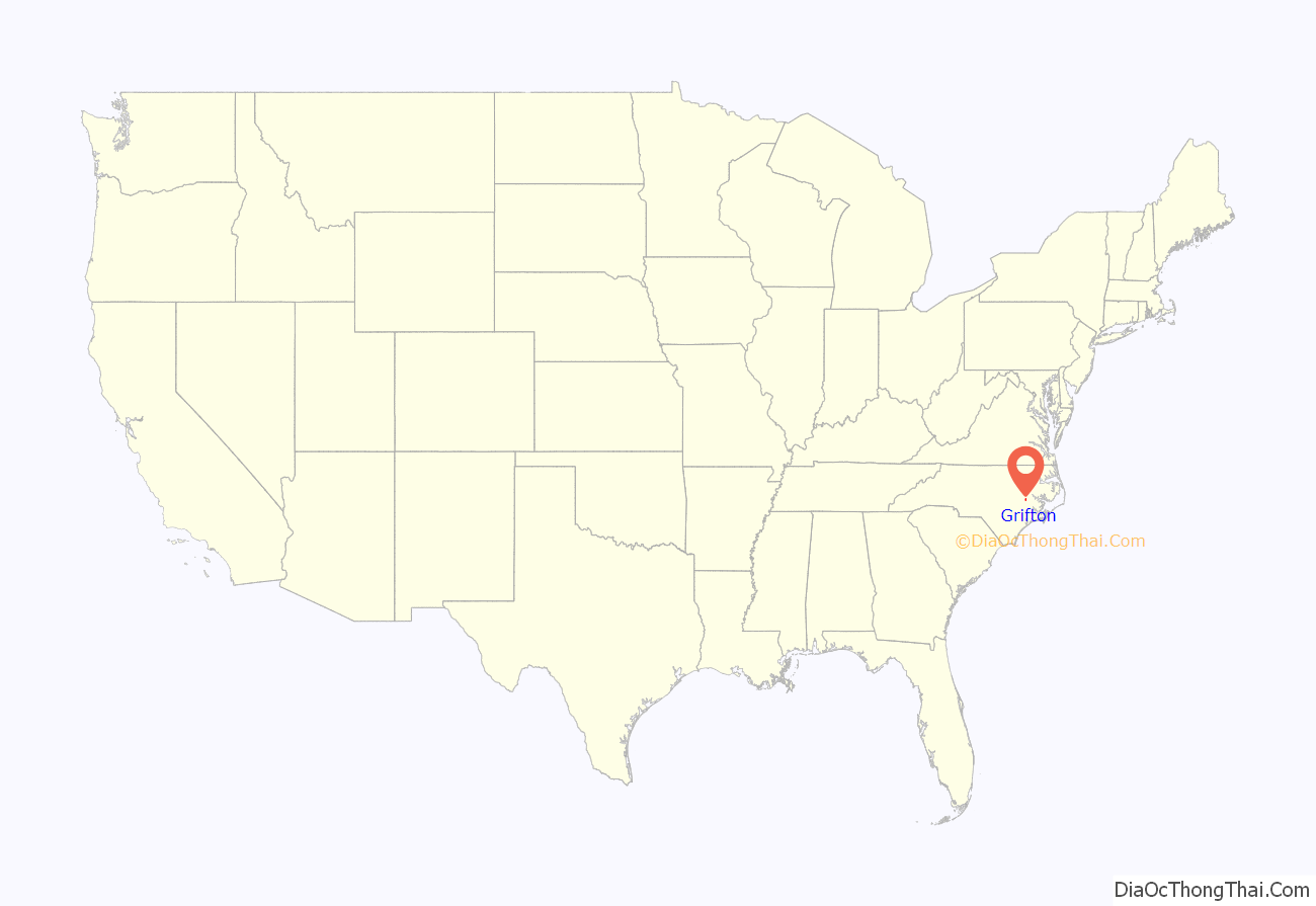
Grifton location map. Where is Grifton town?
History
Settlement in the area dates back to 1756, when the locale was known as Peter’s Ferry. By 1764, it was known as Blount’s Ford. In the 1800s Warren Bell, Inc. operated a ferry at the location, and the town was known as Bell’s Ferry. It was incorporated under that name in 1883. The name was formally changed to Griffton six years later to honor local merchant C. M. A. Griffin. Soon thereafter, it became styled as Grifton.
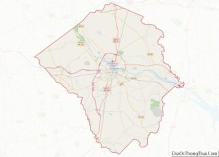
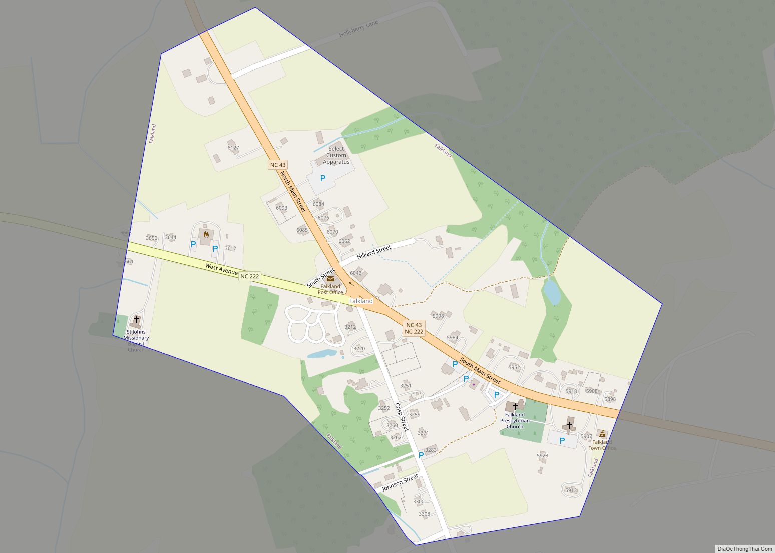
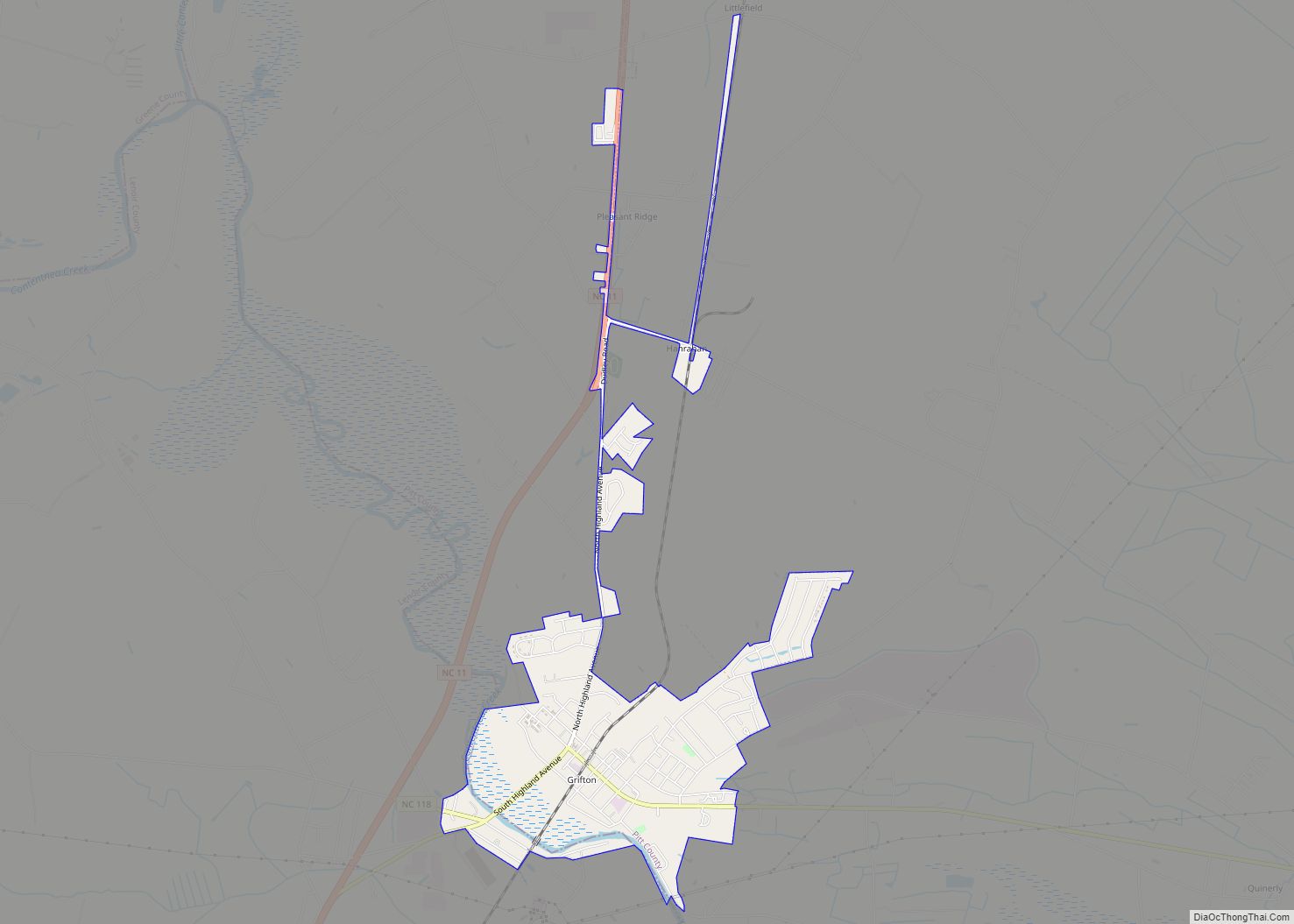
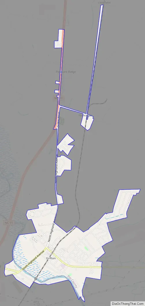
Grifton Road Map
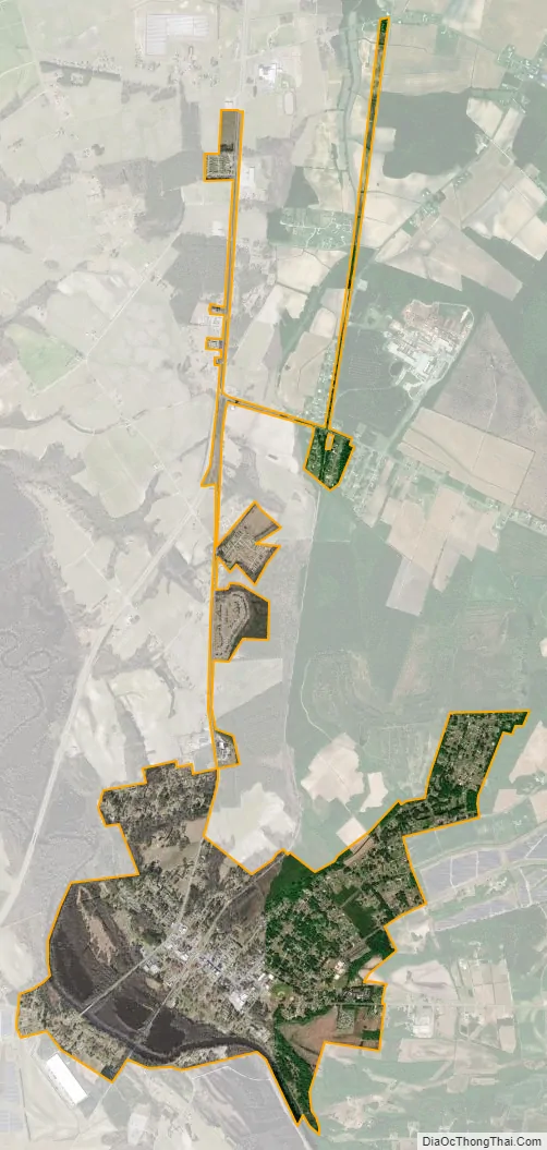
Grifton city Satellite Map
Geography
Grifton is located on the southern edge of Pitt County at 35°22′30″N 77°26′2″W / 35.37500°N 77.43389°W / 35.37500; -77.43389 (35.375129, -77.433860), mostly on the northeastern side of Contentnea Creek, which forms the county line. A small portion of the town is on the southwestern side of the creek in Lenoir County. North Carolina Highway 11 passes just west of the town, leading north 18 miles (29 km) to Greenville, the Pitt county seat, and southwest 12 miles (19 km) to Kinston, the Lenoir county seat.
According to the United States Census Bureau, the town has a total area of 2.73 square miles (7.07 km), all land. Contentnea Creek is a southeastward-flowing tributary of the Neuse River.
See also
Map of North Carolina State and its subdivision:- Alamance
- Alexander
- Alleghany
- Anson
- Ashe
- Avery
- Beaufort
- Bertie
- Bladen
- Brunswick
- Buncombe
- Burke
- Cabarrus
- Caldwell
- Camden
- Carteret
- Caswell
- Catawba
- Chatham
- Cherokee
- Chowan
- Clay
- Cleveland
- Columbus
- Craven
- Cumberland
- Currituck
- Dare
- Davidson
- Davie
- Duplin
- Durham
- Edgecombe
- Forsyth
- Franklin
- Gaston
- Gates
- Graham
- Granville
- Greene
- Guilford
- Halifax
- Harnett
- Haywood
- Henderson
- Hertford
- Hoke
- Hyde
- Iredell
- Jackson
- Johnston
- Jones
- Lee
- Lenoir
- Lincoln
- Macon
- Madison
- Martin
- McDowell
- Mecklenburg
- Mitchell
- Montgomery
- Moore
- Nash
- New Hanover
- Northampton
- Onslow
- Orange
- Pamlico
- Pasquotank
- Pender
- Perquimans
- Person
- Pitt
- Polk
- Randolph
- Richmond
- Robeson
- Rockingham
- Rowan
- Rutherford
- Sampson
- Scotland
- Stanly
- Stokes
- Surry
- Swain
- Transylvania
- Tyrrell
- Union
- Vance
- Wake
- Warren
- Washington
- Watauga
- Wayne
- Wilkes
- Wilson
- Yadkin
- Yancey
- Alabama
- Alaska
- Arizona
- Arkansas
- California
- Colorado
- Connecticut
- Delaware
- District of Columbia
- Florida
- Georgia
- Hawaii
- Idaho
- Illinois
- Indiana
- Iowa
- Kansas
- Kentucky
- Louisiana
- Maine
- Maryland
- Massachusetts
- Michigan
- Minnesota
- Mississippi
- Missouri
- Montana
- Nebraska
- Nevada
- New Hampshire
- New Jersey
- New Mexico
- New York
- North Carolina
- North Dakota
- Ohio
- Oklahoma
- Oregon
- Pennsylvania
- Rhode Island
- South Carolina
- South Dakota
- Tennessee
- Texas
- Utah
- Vermont
- Virginia
- Washington
- West Virginia
- Wisconsin
- Wyoming