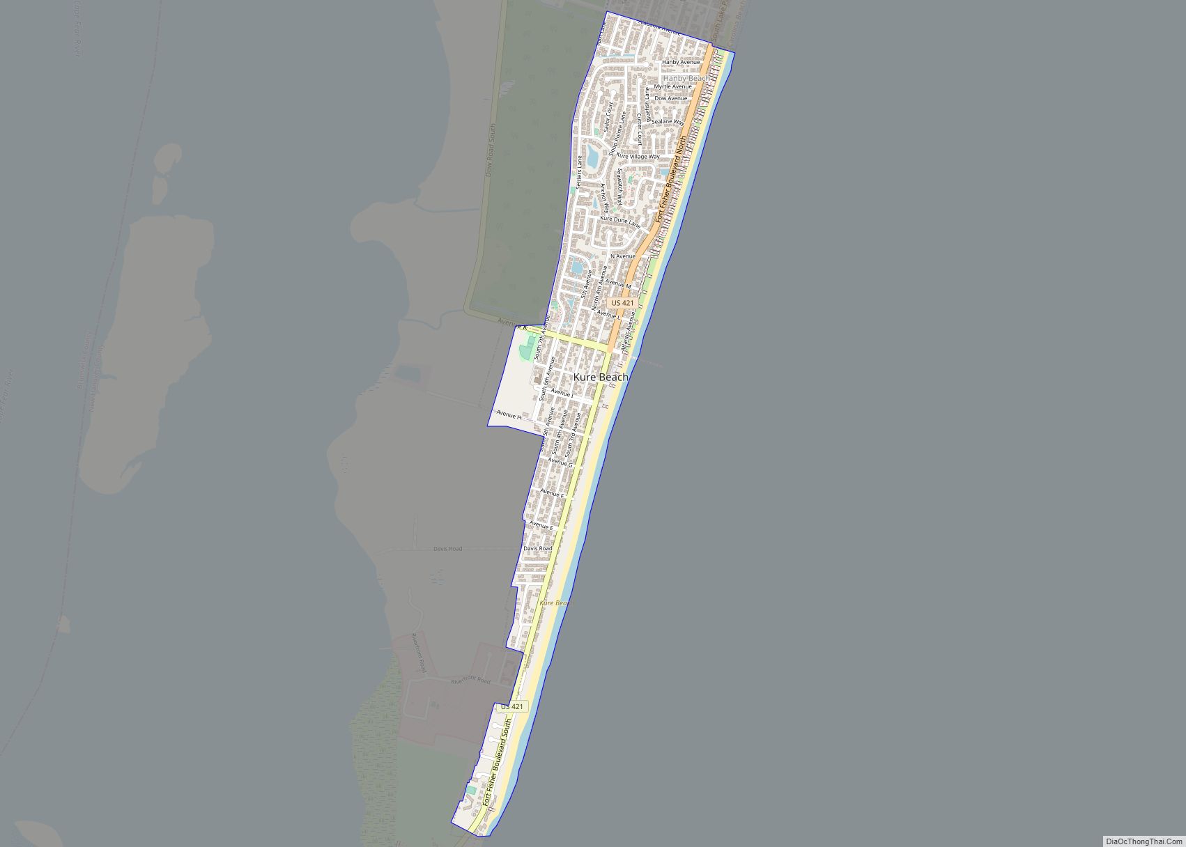
Kure Beach (/ˈkjʊəri/ KURE-ee) is a town in New Hanover County, North Carolina, United States, approximately 15 miles south of Wilmington. It is part of the Wilmington Metropolitan Statistical Area. The population was 2,012 at the 2010 census. It is found on Pleasure Island directly south of the Wilmington Beach annex of Carolina Beach and just north of Fort Fisher. The town is less than 1 square mile (2.6 km) in area, stretching along about 3.5 miles (5.6 km) of coastline along Pleasure Island, and a maximum width of less than 0.5 miles (0.80 km), in most places only a few hundred yard/meters wide.
| Name: | Kure Beach town |
|---|---|
| LSAD Code: | 43 |
| LSAD Description: | town (suffix) |
| State: | North Carolina |
| County: | New Hanover County |
| Elevation: | 10 ft (3 m) |
| Total Area: | 0.88 sq mi (2.29 km²) |
| Land Area: | 0.88 sq mi (2.28 km²) |
| Water Area: | 0.00 sq mi (0.01 km²) |
| Total Population: | 2,191 |
| Population Density: | 2,489.77/sq mi (961.63/km²) |
| ZIP code: | 28449 |
| FIPS code: | 3736220 |
| GNISfeature ID: | 1021071 |
| Website: | www.townofkurebeach.org |
Online Interactive Map
Click on ![]() to view map in "full screen" mode.
to view map in "full screen" mode.
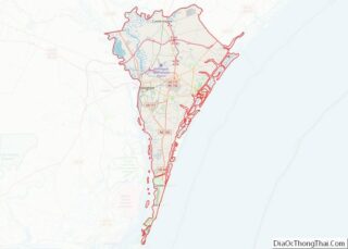
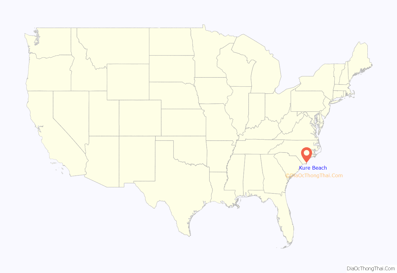
Kure Beach location map. Where is Kure Beach town?
History
A post office called Kure Beach has been in operation since 1942. The town was named for a family of settlers.
The Kure Beach Fishing Pier is one of the oldest on the Atlantic Coast. The original pier was built in 1923 and has been rebuilt and restored several times since then due to wear and tear over the years.
On the night of July 24–25, 1943, a German U-boat fired at least three shells to attack the Ethyl-Dow Chemical Company plant at Kure’s Beach (post-war: Kure Beach), but instead hit the Cape Fear River. The plant was the only one on the East Coast producing bromine from seawater for use in aviation gasoline. Other historians dispute whether the attack actually occurred, and there is no corroborating physical evidence or logs from the German Navy.
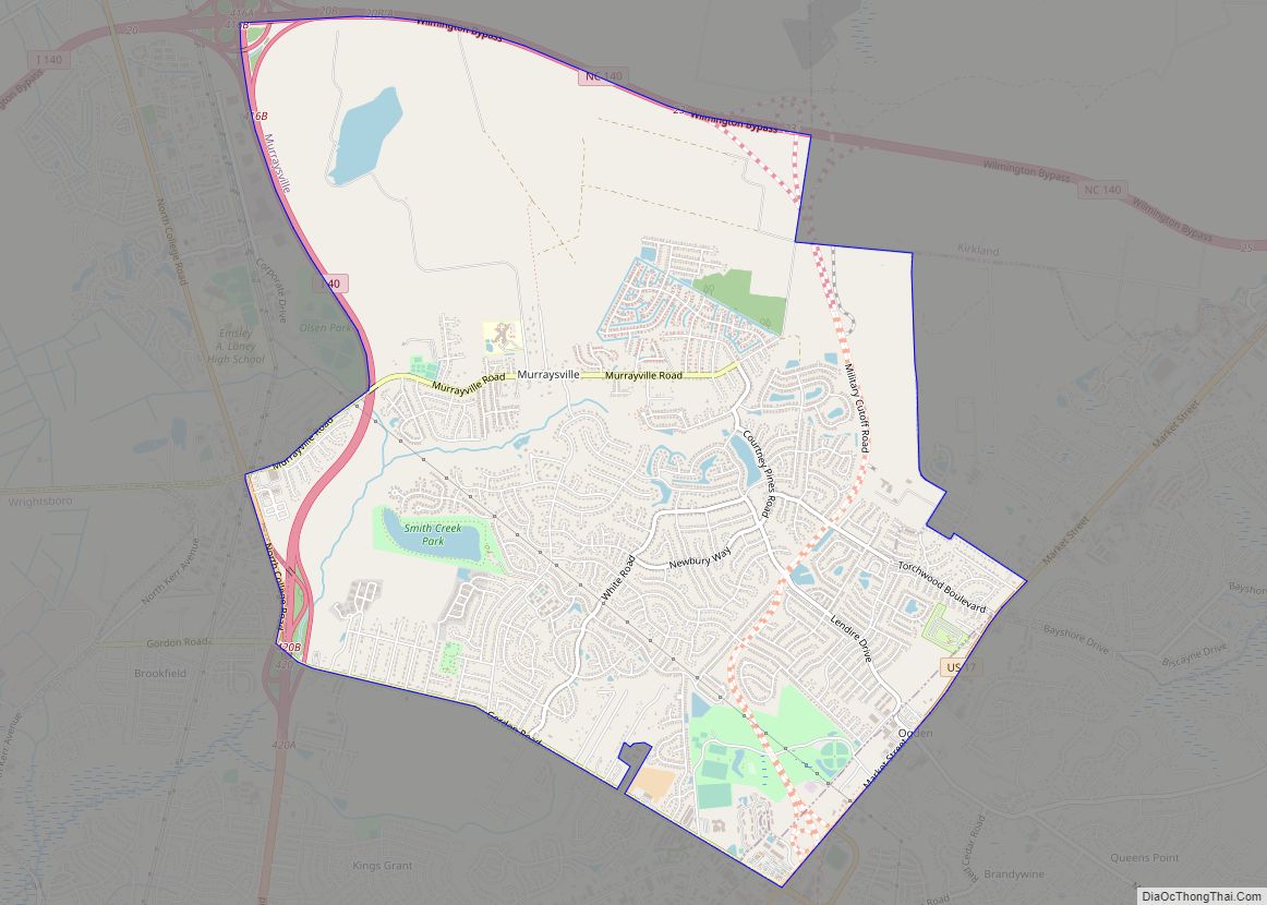
Kure Beach Road Map

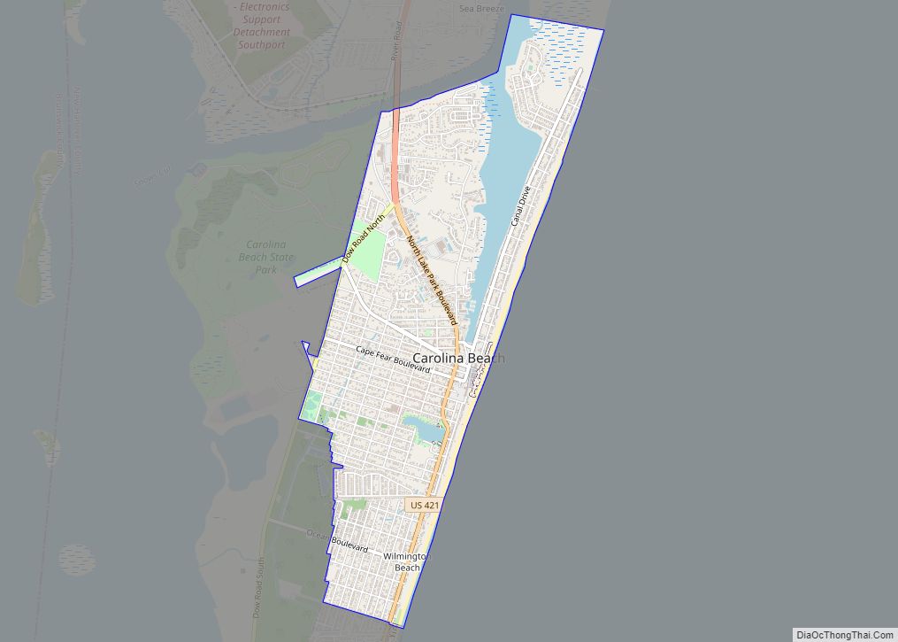
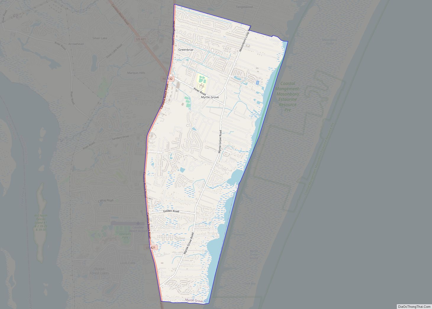
Kure Beach city Satellite Map

See also
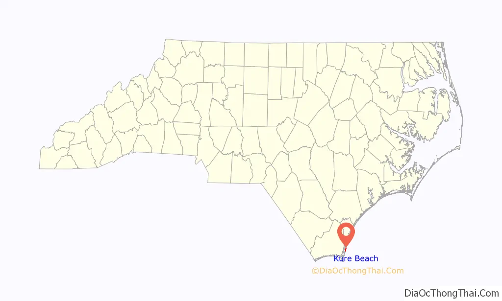
Map of North Carolina State and its subdivision:- Alamance
- Alexander
- Alleghany
- Anson
- Ashe
- Avery
- Beaufort
- Bertie
- Bladen
- Brunswick
- Buncombe
- Burke
- Cabarrus
- Caldwell
- Camden
- Carteret
- Caswell
- Catawba
- Chatham
- Cherokee
- Chowan
- Clay
- Cleveland
- Columbus
- Craven
- Cumberland
- Currituck
- Dare
- Davidson
- Davie
- Duplin
- Durham
- Edgecombe
- Forsyth
- Franklin
- Gaston
- Gates
- Graham
- Granville
- Greene
- Guilford
- Halifax
- Harnett
- Haywood
- Henderson
- Hertford
- Hoke
- Hyde
- Iredell
- Jackson
- Johnston
- Jones
- Lee
- Lenoir
- Lincoln
- Macon
- Madison
- Martin
- McDowell
- Mecklenburg
- Mitchell
- Montgomery
- Moore
- Nash
- New Hanover
- Northampton
- Onslow
- Orange
- Pamlico
- Pasquotank
- Pender
- Perquimans
- Person
- Pitt
- Polk
- Randolph
- Richmond
- Robeson
- Rockingham
- Rowan
- Rutherford
- Sampson
- Scotland
- Stanly
- Stokes
- Surry
- Swain
- Transylvania
- Tyrrell
- Union
- Vance
- Wake
- Warren
- Washington
- Watauga
- Wayne
- Wilkes
- Wilson
- Yadkin
- Yancey
- Alabama
- Alaska
- Arizona
- Arkansas
- California
- Colorado
- Connecticut
- Delaware
- District of Columbia
- Florida
- Georgia
- Hawaii
- Idaho
- Illinois
- Indiana
- Iowa
- Kansas
- Kentucky
- Louisiana
- Maine
- Maryland
- Massachusetts
- Michigan
- Minnesota
- Mississippi
- Missouri
- Montana
- Nebraska
- Nevada
- New Hampshire
- New Jersey
- New Mexico
- New York
- North Carolina
- North Dakota
- Ohio
- Oklahoma
- Oregon
- Pennsylvania
- Rhode Island
- South Carolina
- South Dakota
- Tennessee
- Texas
- Utah
- Vermont
- Virginia
- Washington
- West Virginia
- Wisconsin
- Wyoming