Matthews is a town in southeastern Mecklenburg County, North Carolina, United States. It is a suburb of Charlotte. The population was 27,198 according to the 2010 Census.
| Name: | Matthews town |
|---|---|
| LSAD Code: | 43 |
| LSAD Description: | town (suffix) |
| State: | North Carolina |
| County: | Mecklenburg County |
| Elevation: | 745 ft (227 m) |
| Total Area: | 17.19 sq mi (44.53 km²) |
| Land Area: | 17.11 sq mi (44.33 km²) |
| Water Area: | 0.08 sq mi (0.21 km²) |
| Total Population: | 29,435 |
| Population Density: | 1,719.84/sq mi (664.05/km²) |
| ZIP code: | 28104, 28105 |
| Area code: | 704 |
| FIPS code: | 3741960 |
| GNISfeature ID: | 2406108 |
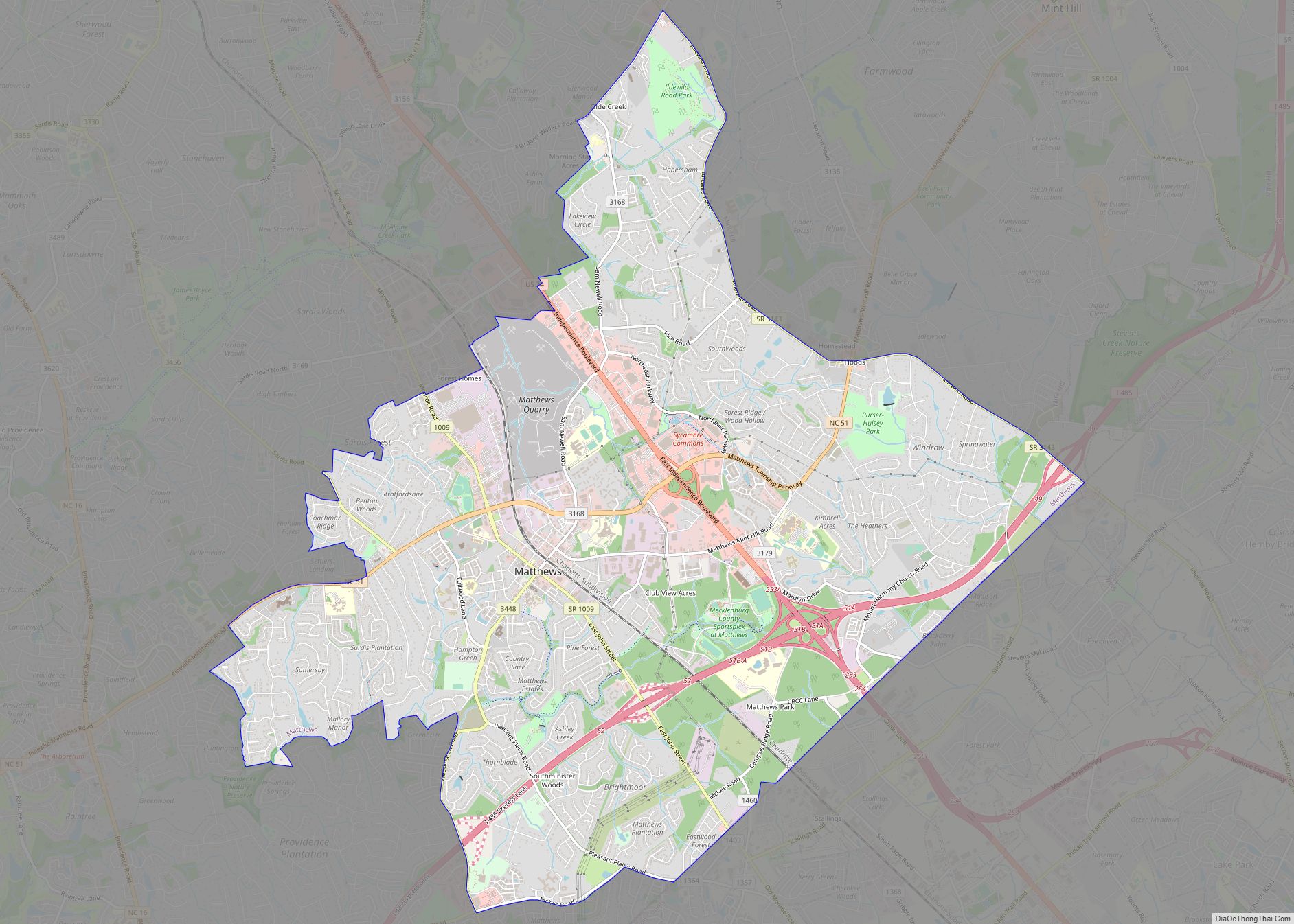
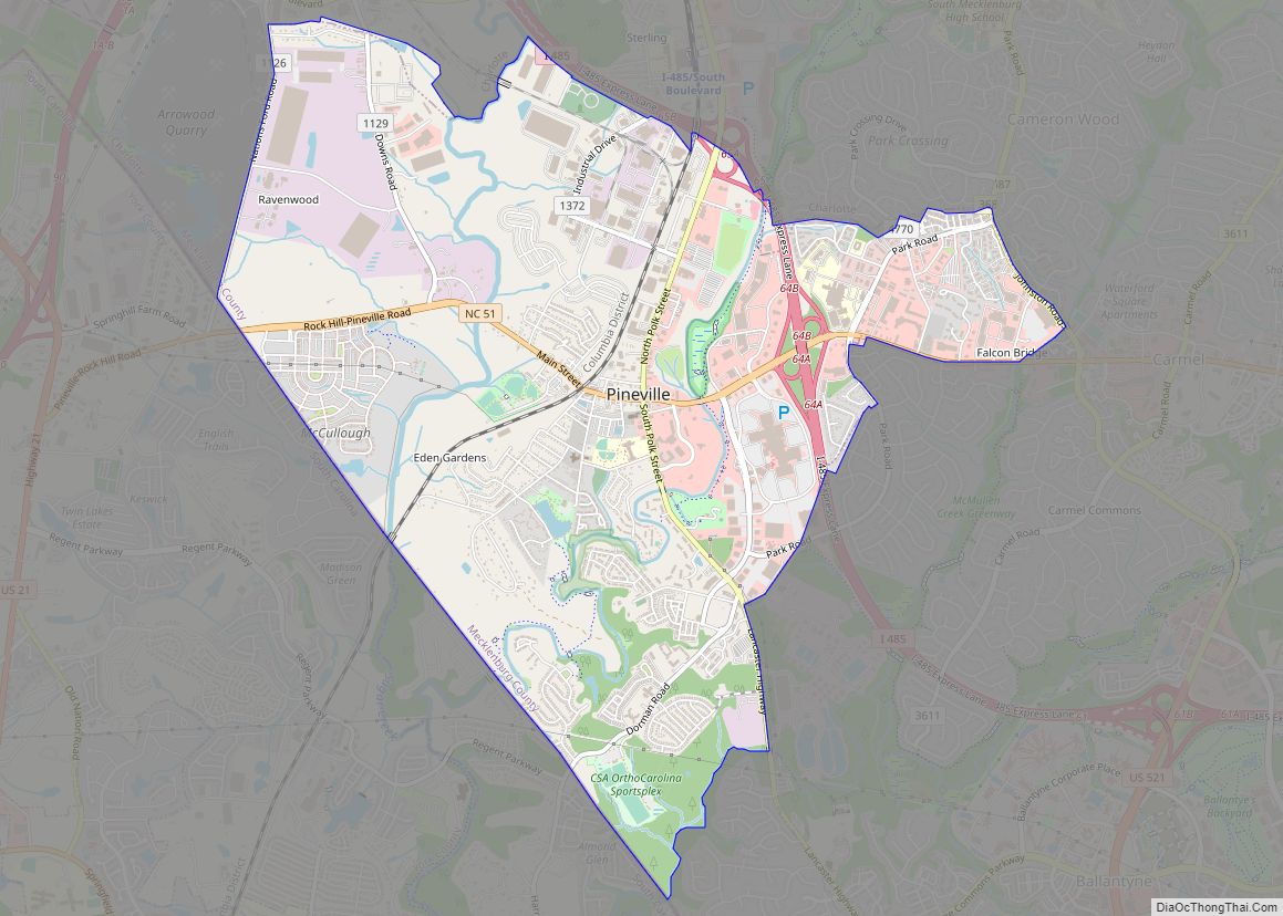
Online Interactive Map
Click on ![]() to view map in "full screen" mode.
to view map in "full screen" mode.
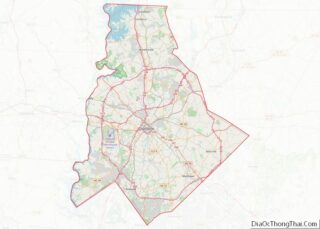
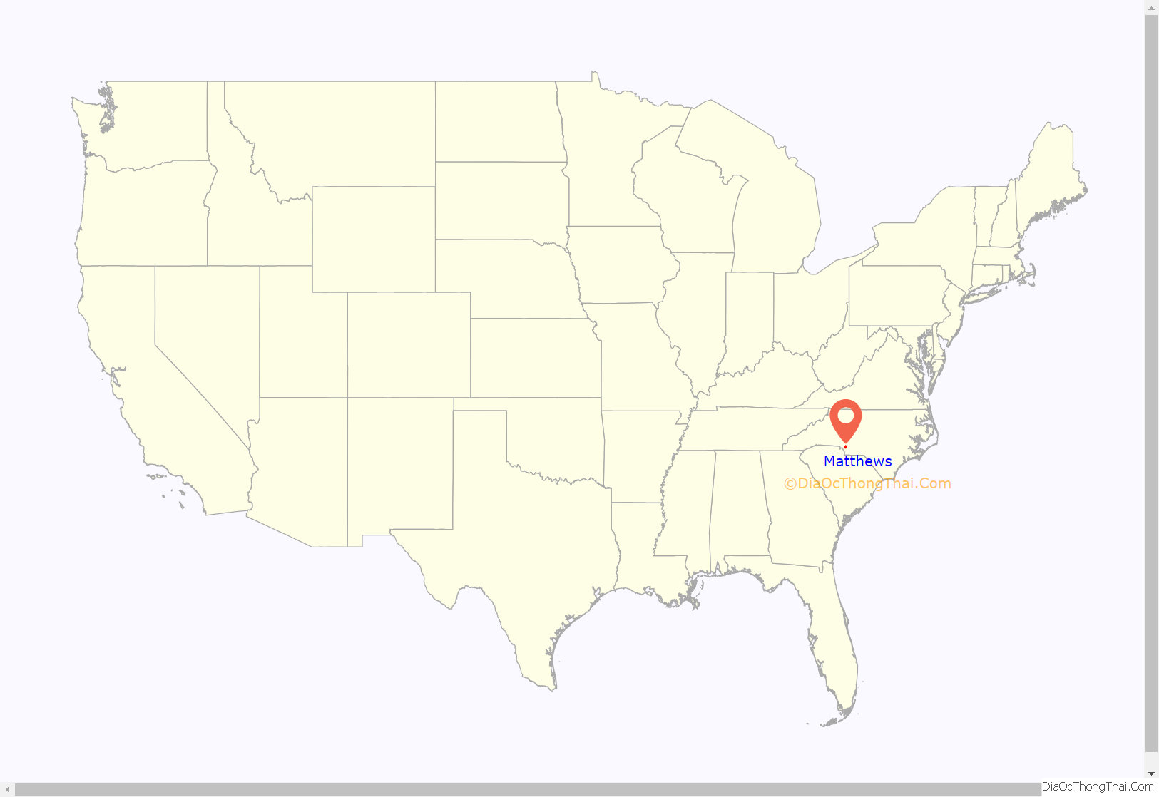
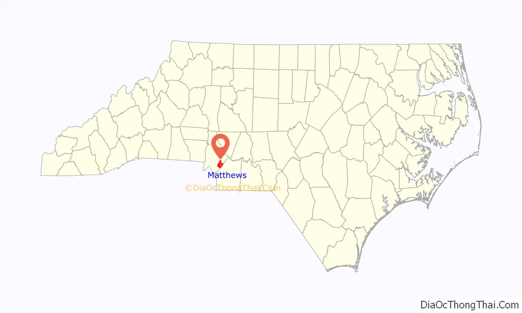
Matthews location map. Where is Matthews town?
History
In the early 19th century, the new settlement that would become Matthews was unofficially named Stumptown for the copious amount of tree stumps left from making way for cotton farms. The community’s name later changed to Fullwood, named after appointed area postmaster John Miles Fullwood. The establishment of a sawmill and the cotton and timber industry helped Fullwood change into a town. Prior to the first train arriving on December 15, 1874, Fullwood acted as a stagecoach stop between Charlotte and Monroe. The town was incorporated into a municipal corporation in 1879, and was renamed Matthews in honor of Edward Matthews, who was director of the Central Carolina Railroad, which would later become known as the Seaboard Air Line Railroad.
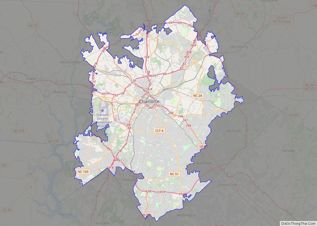
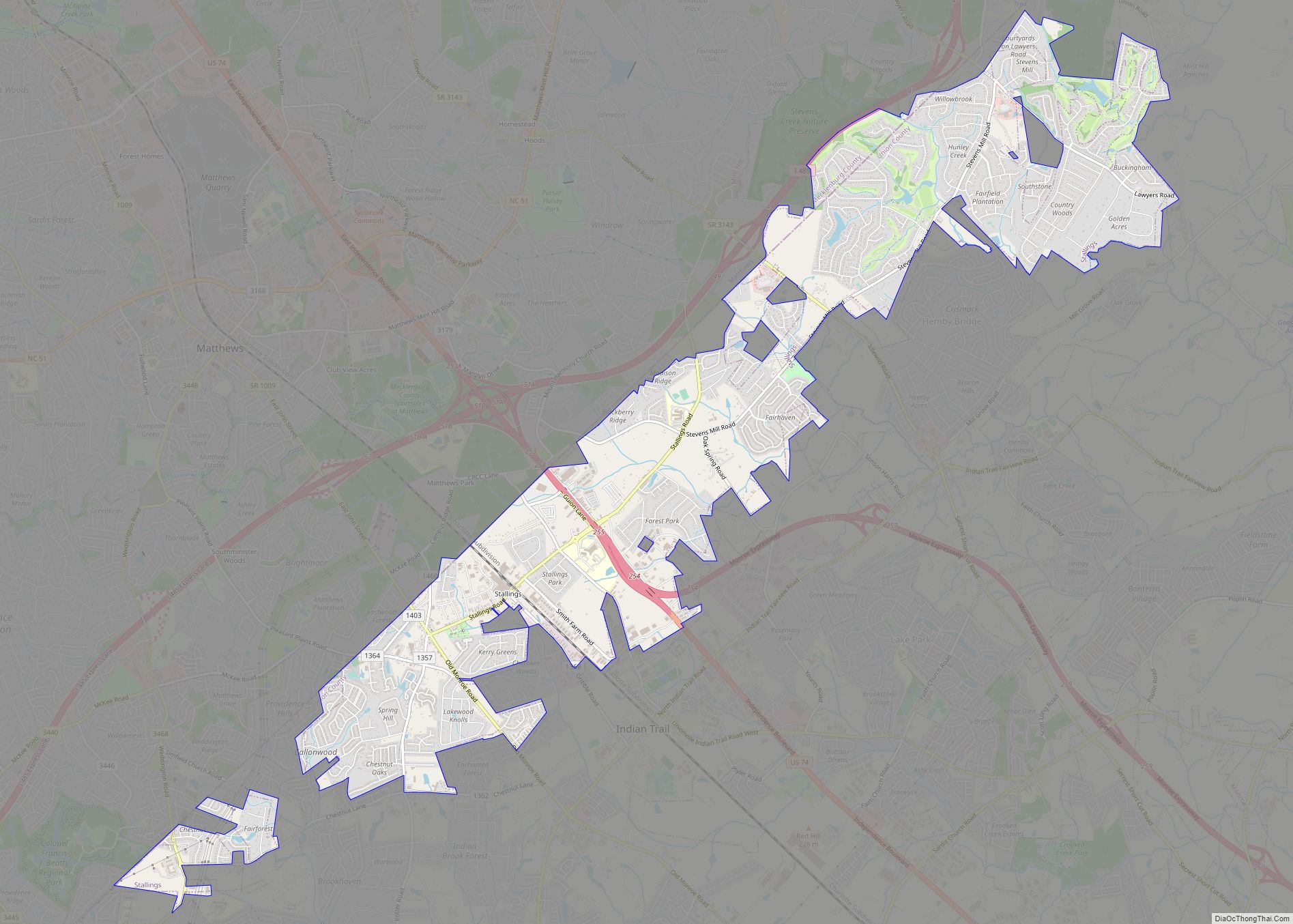
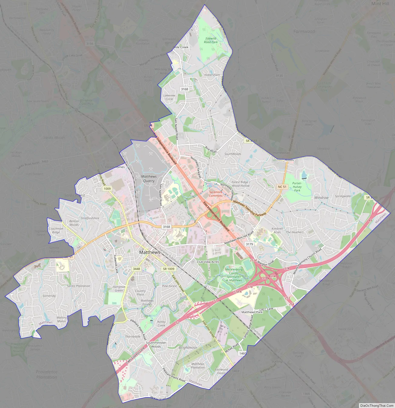
Matthews Road Map
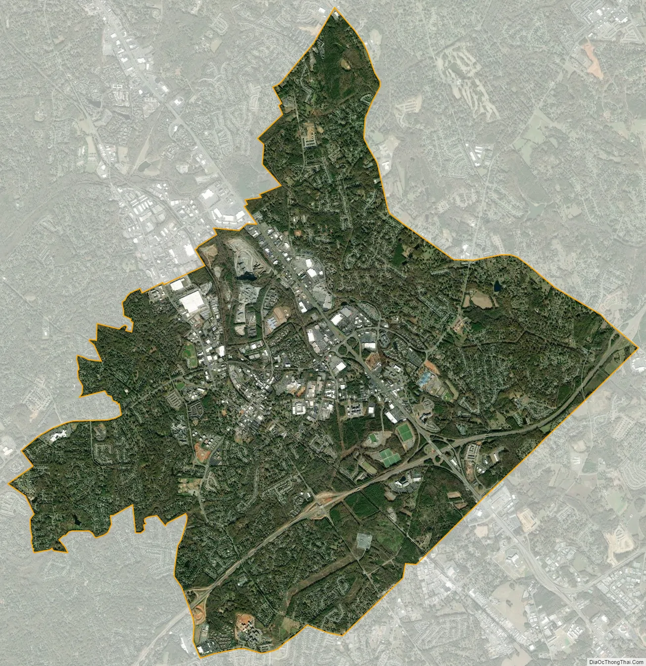
Matthews city Satellite Map
Geography
Matthews is located at 35°7′1″N 80°42′59″W / 35.11694°N 80.71639°W / 35.11694; -80.71639 (35.116851, −80.716409).
According to the United States Census Bureau, the town has a total area of 17.2 square miles (45 km), all land.
Matthews is situated approximately 11.0 miles (17.7 km) southeast of uptown Charlotte.
See also
Map of North Carolina State and its subdivision:- Alamance
- Alexander
- Alleghany
- Anson
- Ashe
- Avery
- Beaufort
- Bertie
- Bladen
- Brunswick
- Buncombe
- Burke
- Cabarrus
- Caldwell
- Camden
- Carteret
- Caswell
- Catawba
- Chatham
- Cherokee
- Chowan
- Clay
- Cleveland
- Columbus
- Craven
- Cumberland
- Currituck
- Dare
- Davidson
- Davie
- Duplin
- Durham
- Edgecombe
- Forsyth
- Franklin
- Gaston
- Gates
- Graham
- Granville
- Greene
- Guilford
- Halifax
- Harnett
- Haywood
- Henderson
- Hertford
- Hoke
- Hyde
- Iredell
- Jackson
- Johnston
- Jones
- Lee
- Lenoir
- Lincoln
- Macon
- Madison
- Martin
- McDowell
- Mecklenburg
- Mitchell
- Montgomery
- Moore
- Nash
- New Hanover
- Northampton
- Onslow
- Orange
- Pamlico
- Pasquotank
- Pender
- Perquimans
- Person
- Pitt
- Polk
- Randolph
- Richmond
- Robeson
- Rockingham
- Rowan
- Rutherford
- Sampson
- Scotland
- Stanly
- Stokes
- Surry
- Swain
- Transylvania
- Tyrrell
- Union
- Vance
- Wake
- Warren
- Washington
- Watauga
- Wayne
- Wilkes
- Wilson
- Yadkin
- Yancey
- Alabama
- Alaska
- Arizona
- Arkansas
- California
- Colorado
- Connecticut
- Delaware
- District of Columbia
- Florida
- Georgia
- Hawaii
- Idaho
- Illinois
- Indiana
- Iowa
- Kansas
- Kentucky
- Louisiana
- Maine
- Maryland
- Massachusetts
- Michigan
- Minnesota
- Mississippi
- Missouri
- Montana
- Nebraska
- Nevada
- New Hampshire
- New Jersey
- New Mexico
- New York
- North Carolina
- North Dakota
- Ohio
- Oklahoma
- Oregon
- Pennsylvania
- Rhode Island
- South Carolina
- South Dakota
- Tennessee
- Texas
- Utah
- Vermont
- Virginia
- Washington
- West Virginia
- Wisconsin
- Wyoming