Mount Gilead is a town in Montgomery County, in the Piedmont region of North Carolina, United States. The population was 1,181 at the 2010 census.
| Name: | Mount Gilead town |
|---|---|
| LSAD Code: | 43 |
| LSAD Description: | town (suffix) |
| State: | North Carolina |
| County: | Montgomery County |
| Elevation: | 427 ft (130 m) |
| Total Area: | 3.49 sq mi (9.04 km²) |
| Land Area: | 3.49 sq mi (9.04 km²) |
| Water Area: | 0.00 sq mi (0.00 km²) |
| Total Population: | 1,171 |
| Population Density: | 335.53/sq mi (129.56/km²) |
| ZIP code: | 27306 |
| FIPS code: | 3744900 |
| GNISfeature ID: | 1013735 |
| Website: | www.mtgileadnc.com |
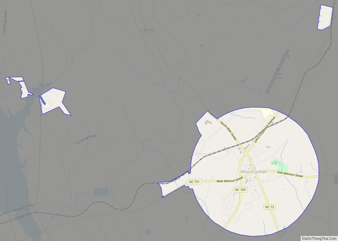
Online Interactive Map
Click on ![]() to view map in "full screen" mode.
to view map in "full screen" mode.
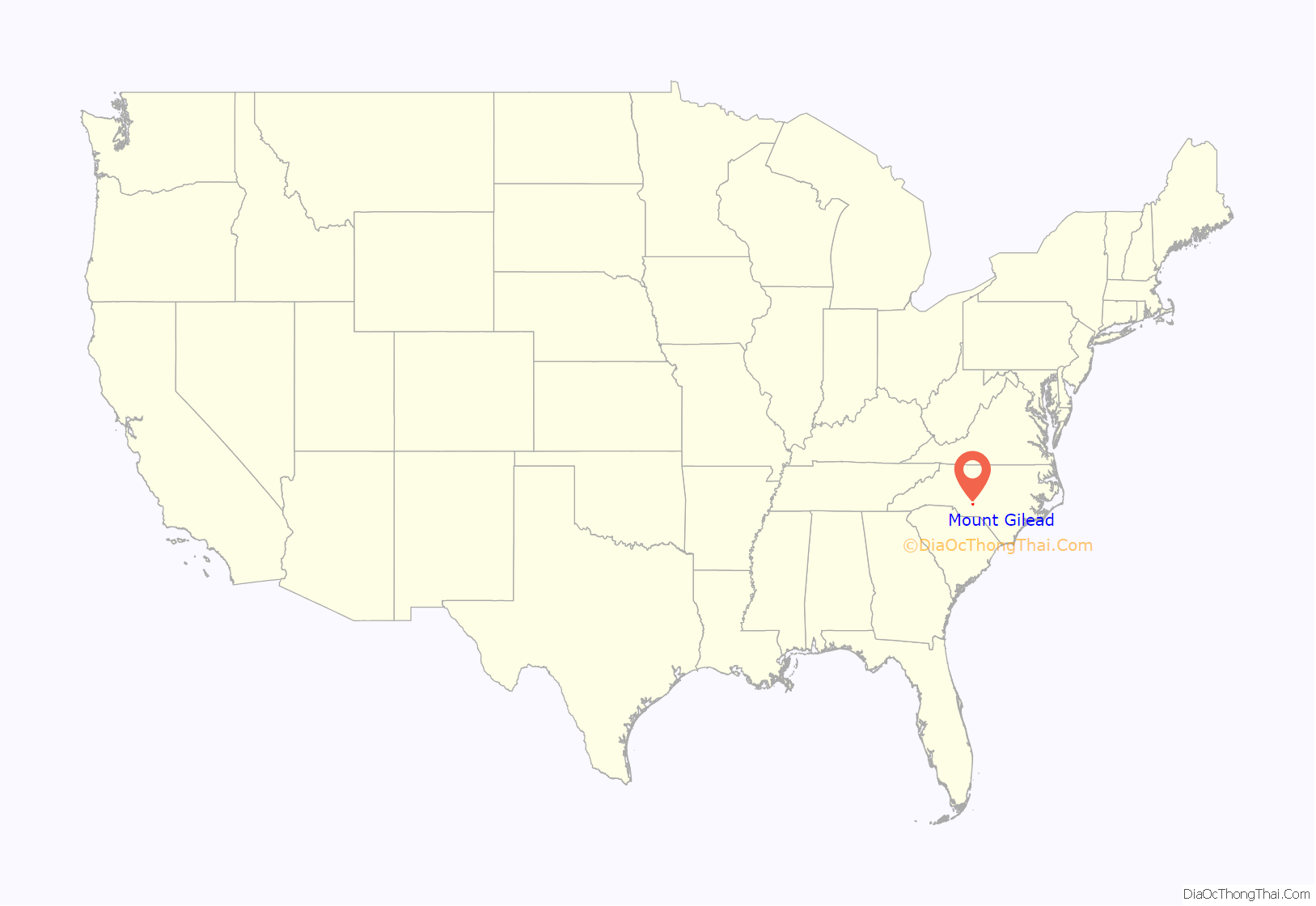
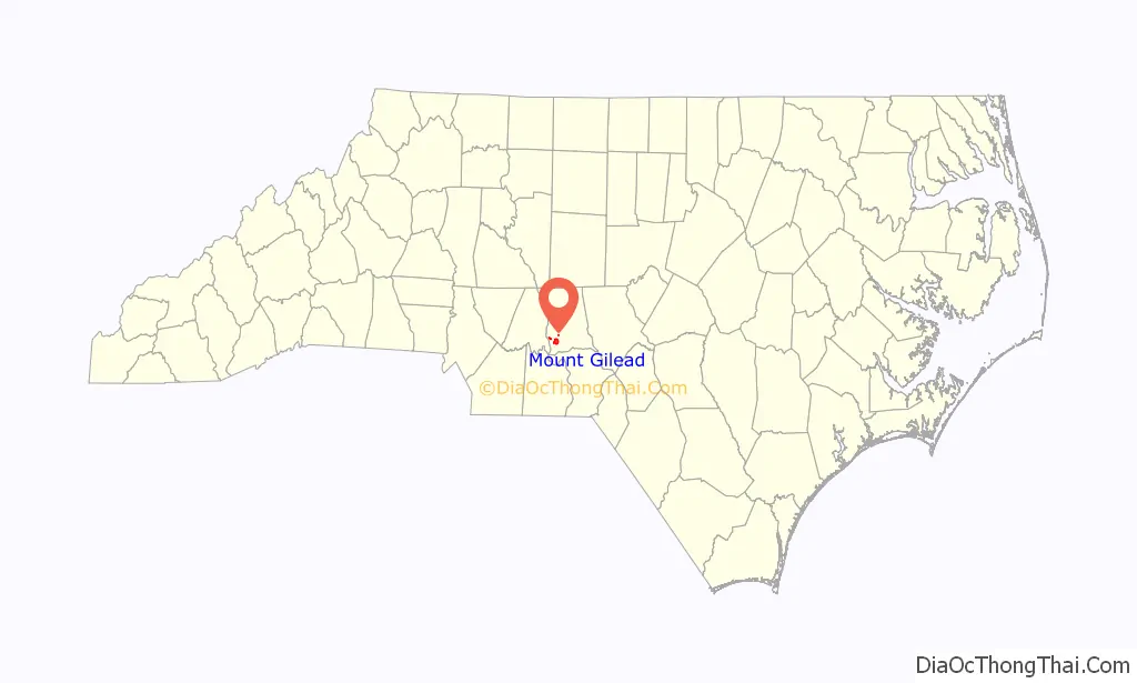
Mount Gilead location map. Where is Mount Gilead town?
History
Ancient history
This region was occupied by the Pee Dee culture, part of the Southern Appalachian Mississippian culture, from about 980 to 1150 CE. They built the earthwork platform mound and other structures at Town Creek Indian Mound, which has been designated a National Historic Landmark since 1966. It is the only Native American site in the state to be designated as a national landmark. In the 21st century, the Pee Dee are based in South Carolina, where the state has recognized several bands as tribes.
European-American settlement
Mount Gilead was incorporated in 1899 as the textile industry built mills in the Piedmont section of the state above the fall line of rivers. They processed the commodity crop of cotton, which had been important to the South since before the Civil War. The textile mills provided jobs to white residents of the region, later also employing blacks and supporting relative prosperity in the region.
Since the late 20th century, many textile jobs moved offshore in a restructuring of the industry as it sought lower labor costs. Like many small southern towns, Mount Gilead suffered economic and population decline following the loss of these textile jobs.
Historic District and sites
The town has begun to emphasize the appeal of its historic resources. Its Historic District has been inventoried and was listed on the National Register of Historic Places in 2005. Mount Gilead was selected to participate in the N.C. Small Town Main Street Program (co-sponsored by the National Trust for Historic Preservation) and received a S.T.E.P. (Small Town Economic Prosperity) grant of $220,000 to help revitalize the downtown area and create jobs, respectively.
The Mount Gilead Museum is located in a restored Victorian house near the downtown area. The house belonged to the McAulay family, who played an important role in Mount Gilead business, church, social, and civic life. The museum houses many documents, photographs, and historic artifacts that tell the story of Mount Gilead’s past.
Mount Gilead Road Map
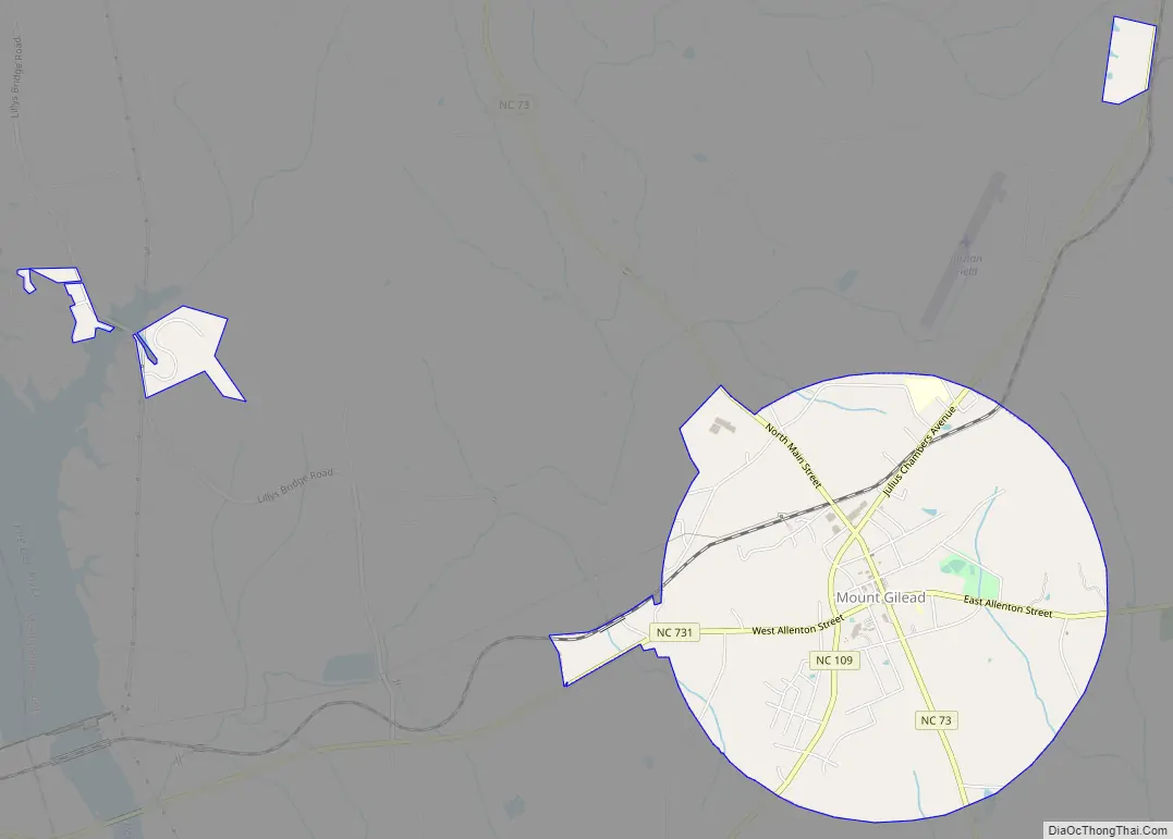
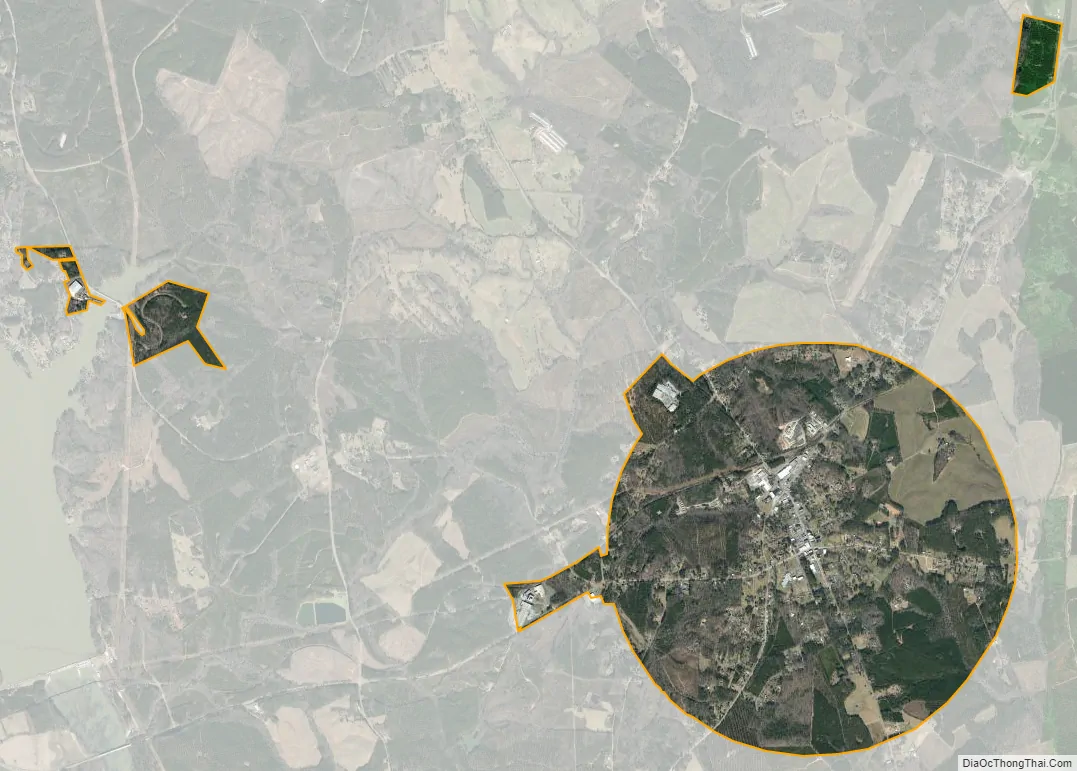
Mount Gilead city Satellite Map
Geography
Mount Gilead is located at 35°12′57″N 80°0′19″W / 35.21583°N 80.00528°W / 35.21583; -80.00528 (35.215793, -80.005252).
According to the United States Census Bureau, the town has a total area of 3.3 square miles (8.5 km), all land.
See also
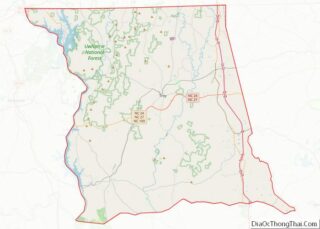
Map of North Carolina State and its subdivision:- Alamance
- Alexander
- Alleghany
- Anson
- Ashe
- Avery
- Beaufort
- Bertie
- Bladen
- Brunswick
- Buncombe
- Burke
- Cabarrus
- Caldwell
- Camden
- Carteret
- Caswell
- Catawba
- Chatham
- Cherokee
- Chowan
- Clay
- Cleveland
- Columbus
- Craven
- Cumberland
- Currituck
- Dare
- Davidson
- Davie
- Duplin
- Durham
- Edgecombe
- Forsyth
- Franklin
- Gaston
- Gates
- Graham
- Granville
- Greene
- Guilford
- Halifax
- Harnett
- Haywood
- Henderson
- Hertford
- Hoke
- Hyde
- Iredell
- Jackson
- Johnston
- Jones
- Lee
- Lenoir
- Lincoln
- Macon
- Madison
- Martin
- McDowell
- Mecklenburg
- Mitchell
- Montgomery
- Moore
- Nash
- New Hanover
- Northampton
- Onslow
- Orange
- Pamlico
- Pasquotank
- Pender
- Perquimans
- Person
- Pitt
- Polk
- Randolph
- Richmond
- Robeson
- Rockingham
- Rowan
- Rutherford
- Sampson
- Scotland
- Stanly
- Stokes
- Surry
- Swain
- Transylvania
- Tyrrell
- Union
- Vance
- Wake
- Warren
- Washington
- Watauga
- Wayne
- Wilkes
- Wilson
- Yadkin
- Yancey
- Alabama
- Alaska
- Arizona
- Arkansas
- California
- Colorado
- Connecticut
- Delaware
- District of Columbia
- Florida
- Georgia
- Hawaii
- Idaho
- Illinois
- Indiana
- Iowa
- Kansas
- Kentucky
- Louisiana
- Maine
- Maryland
- Massachusetts
- Michigan
- Minnesota
- Mississippi
- Missouri
- Montana
- Nebraska
- Nevada
- New Hampshire
- New Jersey
- New Mexico
- New York
- North Carolina
- North Dakota
- Ohio
- Oklahoma
- Oregon
- Pennsylvania
- Rhode Island
- South Carolina
- South Dakota
- Tennessee
- Texas
- Utah
- Vermont
- Virginia
- Washington
- West Virginia
- Wisconsin
- Wyoming