Patterson Springs is a town in Cleveland County, North Carolina, United States. The population was 622 at the 2010 census.
| Name: | Patterson Springs town |
|---|---|
| LSAD Code: | 43 |
| LSAD Description: | town (suffix) |
| State: | North Carolina |
| County: | Cleveland County |
| Elevation: | 919 ft (280 m) |
| Total Area: | 1.03 sq mi (2.66 km²) |
| Land Area: | 1.03 sq mi (2.66 km²) |
| Water Area: | 0.00 sq mi (0.00 km²) |
| Total Population: | 571 |
| Population Density: | 556.53/sq mi (214.81/km²) |
| ZIP code: | 28150 |
| Area code: | 704 |
| FIPS code: | 3750700 |
| GNISfeature ID: | 1021829 |
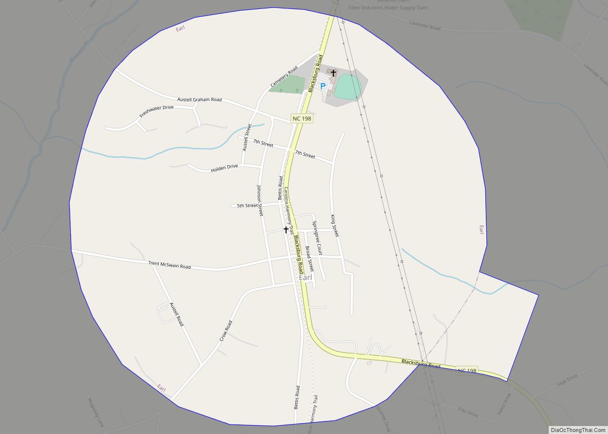
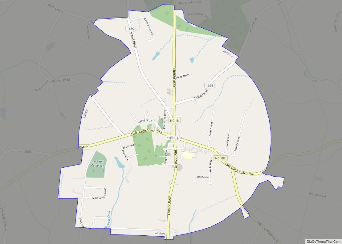
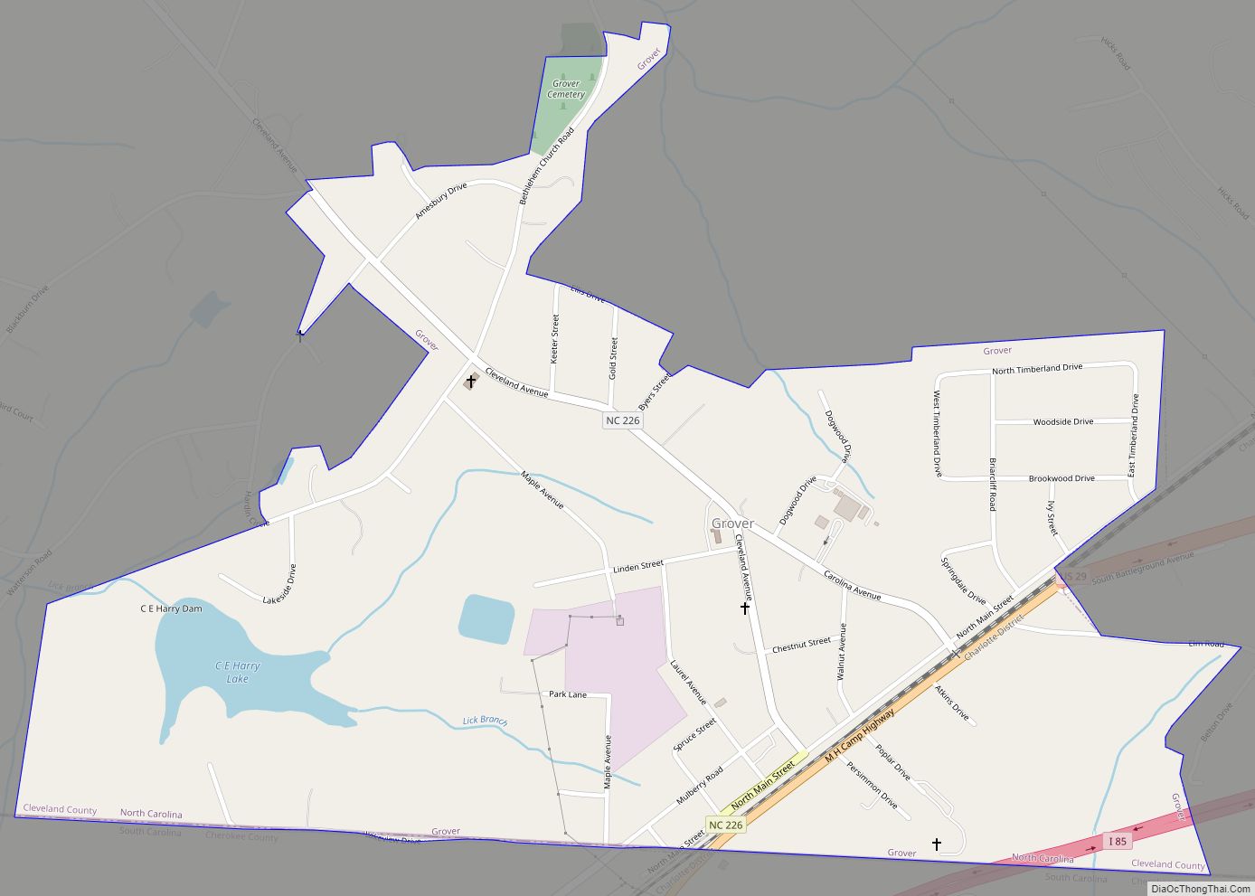
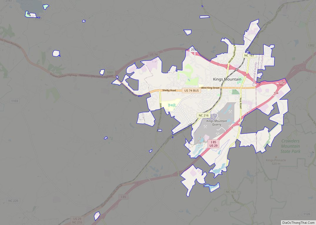
Online Interactive Map
Click on ![]() to view map in "full screen" mode.
to view map in "full screen" mode.
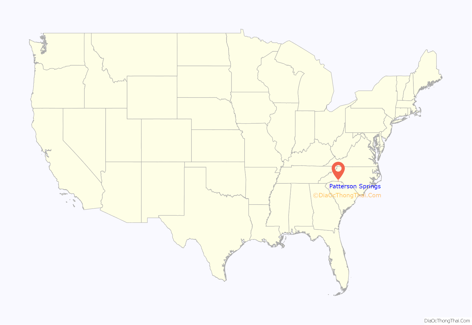
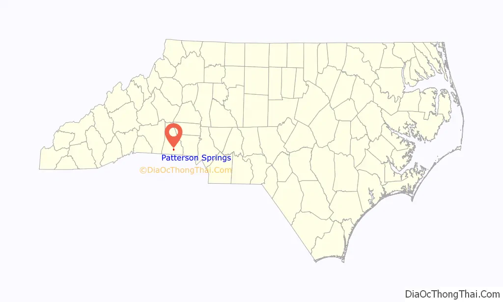
Patterson Springs location map. Where is Patterson Springs town?
History
Patterson Springs was originally a small farming community called “Swangs”, with only a train depot and a post office. William George Patterson bought the land that held three springs from the “Epps” family. Patterson hoped that the supposed healing powers of these springs would help heal his son, Billy, who had poor health. Eventually, news of the supposed healing powers of these springs spread, and Patterson created a thirty to forty room resort to house travelers and merchants. The resort, which was one of several in the area, mainly attracted people from North Carolina, South Carolina, and Georgia. When the attendees of the resort were not at the springs, Patterson offered lawn bowling and a dance every Saturday night. In 1885, the name “Swangs confused the railroad people so they convinced the post office to change it to Patterson Springs and the government officials agreed. In 1915, a school building was created, housing all eleven(not 12) grades. Another was built in 1923, which housed grades one through eight, while the High School students attended No. 3 High School. In the 1960s, the post office closed, then in the 1970s, both schools closed. The train depot no longer exists. Most students now attend Township No. 3 Elementary School, Crest High School, or Pinnacle Classical Academy.
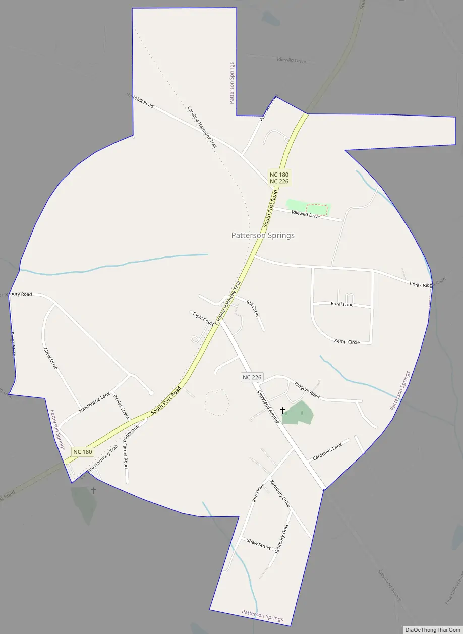
Patterson Springs Road Map
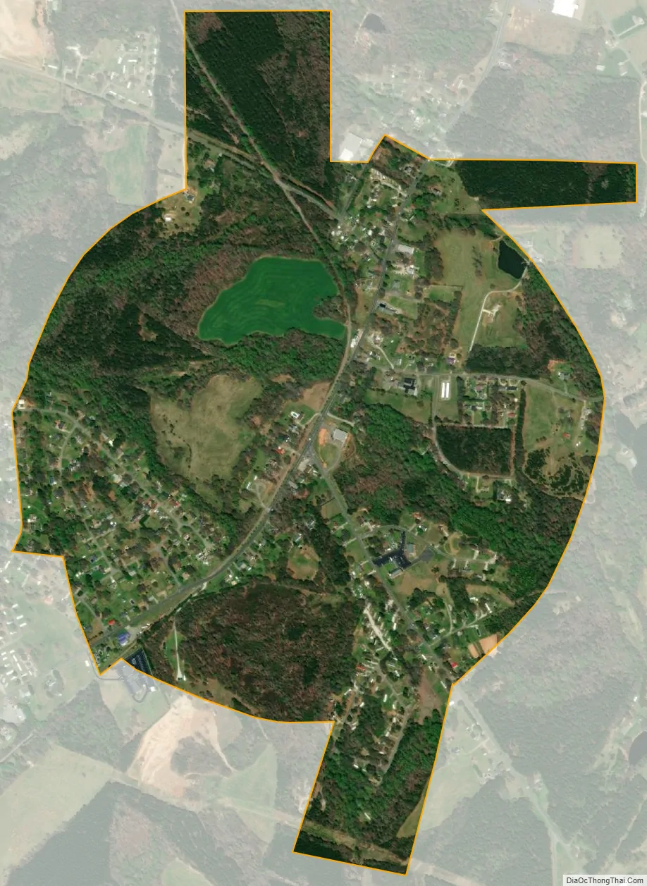
Patterson Springs city Satellite Map
Geography
Patterson Springs is located at 35°13′50″N 81°31′4″W / 35.23056°N 81.51778°W / 35.23056; -81.51778 (35.230506, -81.517759).
According to the United States Census Bureau, the town has a total area of 0.9 square miles (2.3 km), all land.
The community is located at the southern end of conjoined state highways NC 180 and NC 226.
See also
Map of North Carolina State and its subdivision:- Alamance
- Alexander
- Alleghany
- Anson
- Ashe
- Avery
- Beaufort
- Bertie
- Bladen
- Brunswick
- Buncombe
- Burke
- Cabarrus
- Caldwell
- Camden
- Carteret
- Caswell
- Catawba
- Chatham
- Cherokee
- Chowan
- Clay
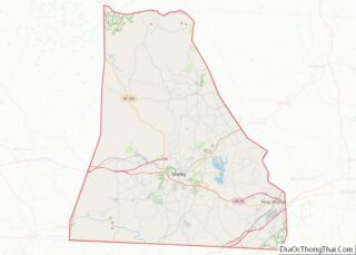
- Cleveland
- Columbus
- Craven
- Cumberland
- Currituck
- Dare
- Davidson
- Davie
- Duplin
- Durham
- Edgecombe
- Forsyth
- Franklin
- Gaston
- Gates
- Graham
- Granville
- Greene
- Guilford
- Halifax
- Harnett
- Haywood
- Henderson
- Hertford
- Hoke
- Hyde
- Iredell
- Jackson
- Johnston
- Jones
- Lee
- Lenoir
- Lincoln
- Macon
- Madison
- Martin
- McDowell
- Mecklenburg
- Mitchell
- Montgomery
- Moore
- Nash
- New Hanover
- Northampton
- Onslow
- Orange
- Pamlico
- Pasquotank
- Pender
- Perquimans
- Person
- Pitt
- Polk
- Randolph
- Richmond
- Robeson
- Rockingham
- Rowan
- Rutherford
- Sampson
- Scotland
- Stanly
- Stokes
- Surry
- Swain
- Transylvania
- Tyrrell
- Union
- Vance
- Wake
- Warren
- Washington
- Watauga
- Wayne
- Wilkes
- Wilson
- Yadkin
- Yancey
- Alabama
- Alaska
- Arizona
- Arkansas
- California
- Colorado
- Connecticut
- Delaware
- District of Columbia
- Florida
- Georgia
- Hawaii
- Idaho
- Illinois
- Indiana
- Iowa
- Kansas
- Kentucky
- Louisiana
- Maine
- Maryland
- Massachusetts
- Michigan
- Minnesota
- Mississippi
- Missouri
- Montana
- Nebraska
- Nevada
- New Hampshire
- New Jersey
- New Mexico
- New York
- North Carolina
- North Dakota
- Ohio
- Oklahoma
- Oregon
- Pennsylvania
- Rhode Island
- South Carolina
- South Dakota
- Tennessee
- Texas
- Utah
- Vermont
- Virginia
- Washington
- West Virginia
- Wisconsin
- Wyoming