Riegelwood is an unincorporated community and census-designated place (CDP) which sprawls across three counties: Brunswick County, North Carolina; Pender County, North Carolina; Columbus County, North Carolina, United States. As of the 2010 census it had a population of 579. It is the location of a saw mill and a paper mill.
| Name: | Riegelwood CDP |
|---|---|
| LSAD Code: | 57 |
| LSAD Description: | CDP (suffix) |
| State: | North Carolina |
| County: | Columbus County |
| Elevation: | 41.7 ft (12.7 m) |
| Total Area: | 3.37 sq mi (8.74 km²) |
| Land Area: | 3.08 sq mi (7.99 km²) |
| Water Area: | 0.29 sq mi (0.75 km²) |
| Total Population: | 545 |
| Population Density: | 176.72/sq mi (68.22/km²) |
| ZIP code: | 28456 |
| FIPS code: | 3756600 |
| GNISfeature ID: | 1022290 |
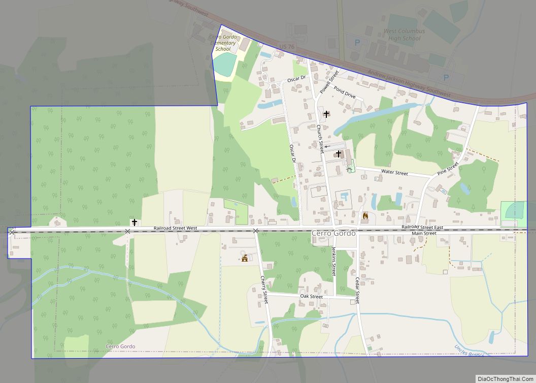
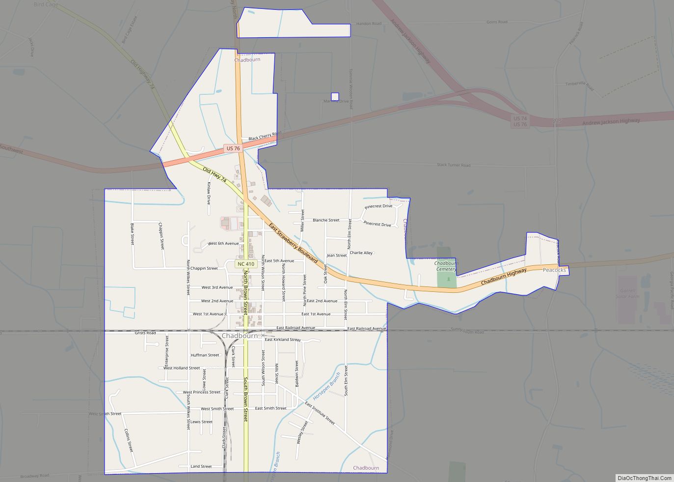
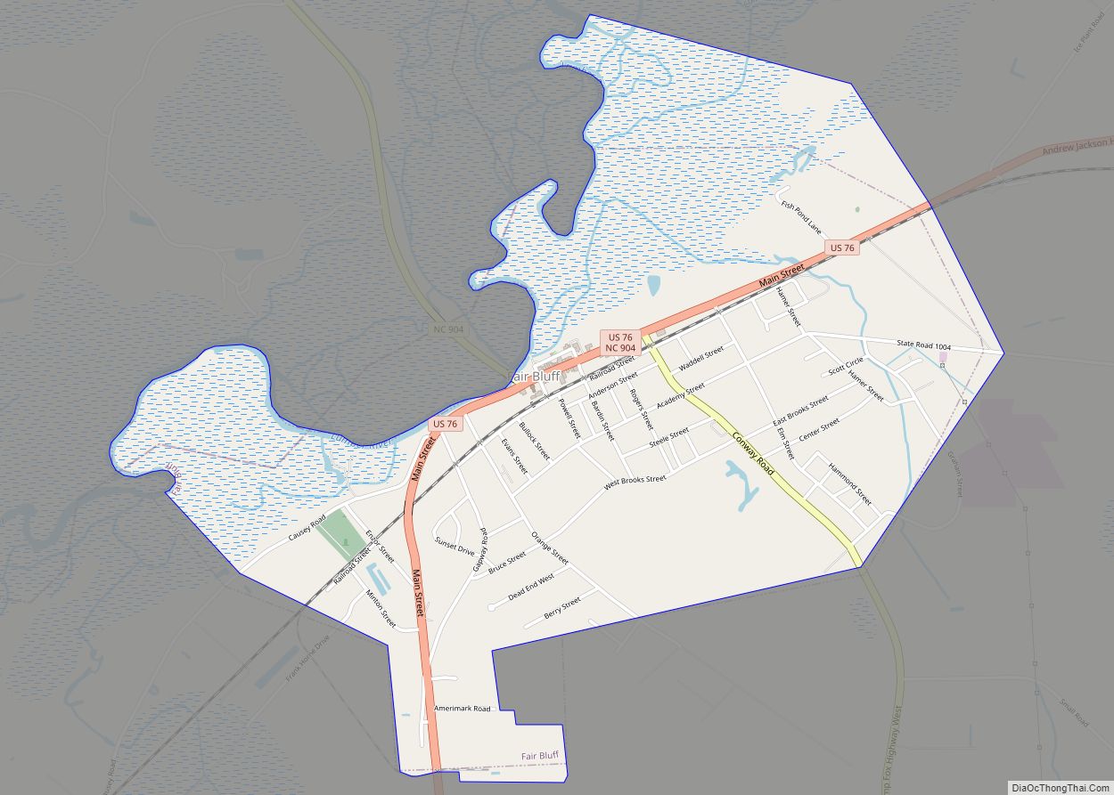
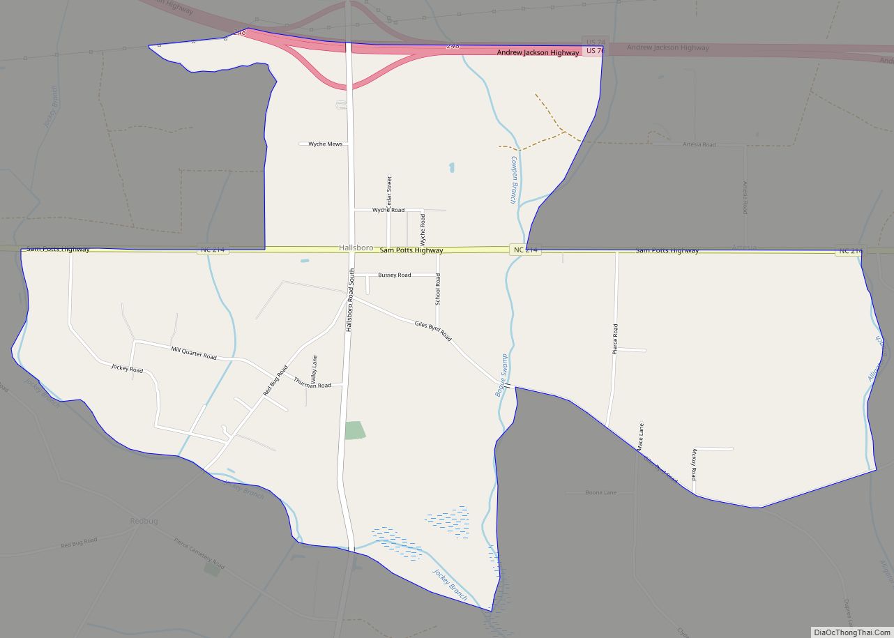
Online Interactive Map
Click on ![]() to view map in "full screen" mode.
to view map in "full screen" mode.
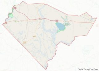
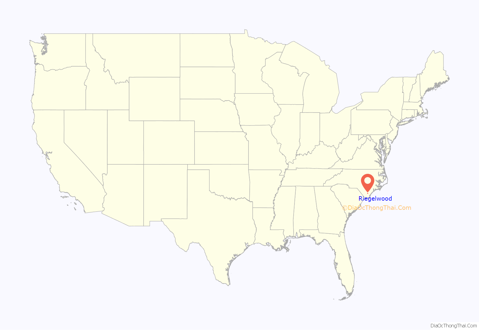
Riegelwood location map. Where is Riegelwood CDP?
History
The Black Rock Plantation House was listed on the National Register of Historic Places in 2014.
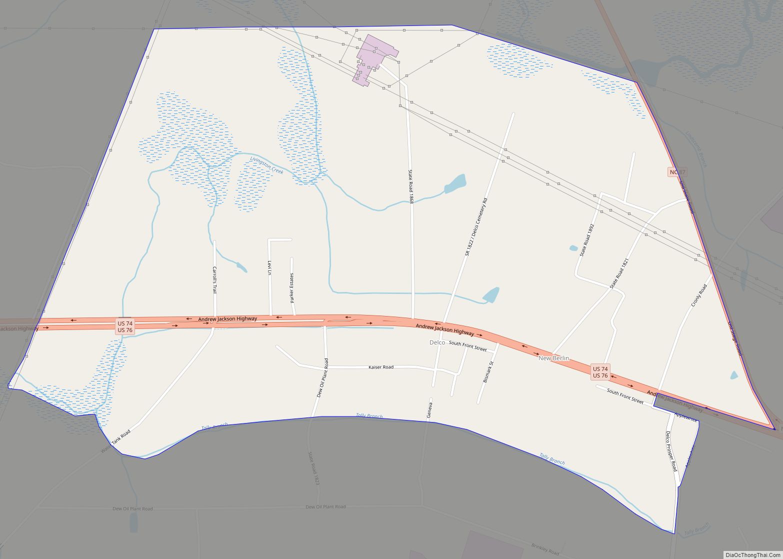
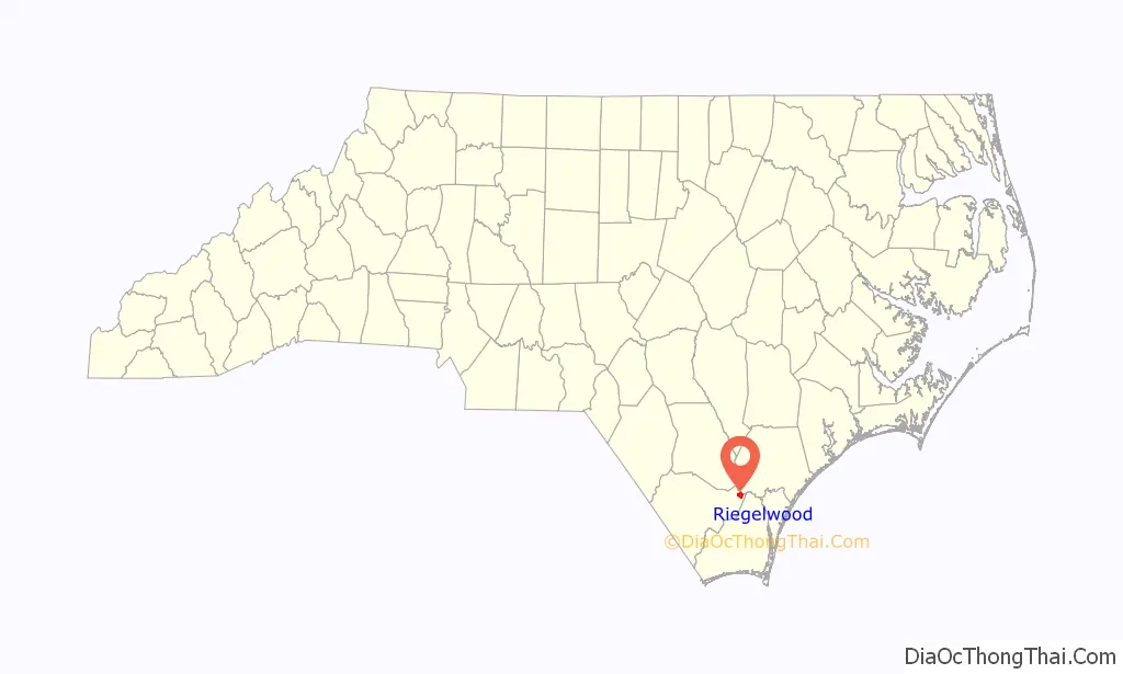
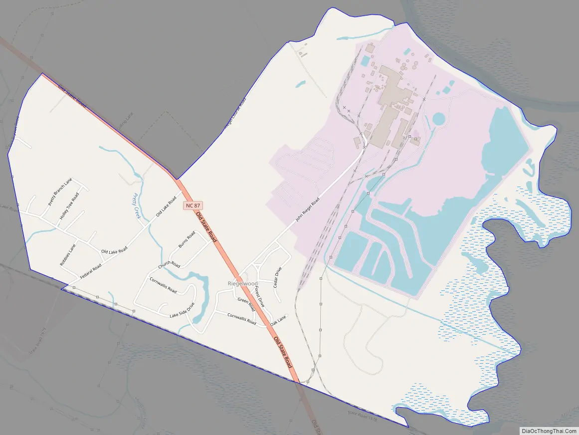
Riegelwood Road Map
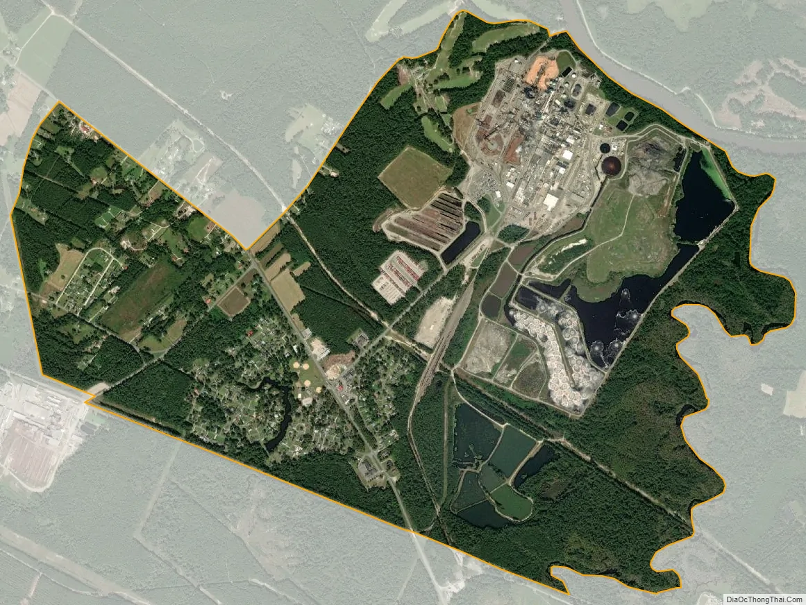
Riegelwood city Satellite Map
Geography
Riegelwood is located near the eastern tip of Columbus County, south of Mitchell Landing on the Cape Fear River, site of an International Paper plant. North Carolina Highway 87 passes through Riegelwood, leading southeast 2 miles (3 km) to U.S. Routes 74 and 76 in Delco and northwest 30 miles (48 km) to Elizabethtown. Wilmington is 19 miles (31 km) to the southeast via US 74/76.
According to the U.S. Census Bureau, the Riegelwood CDP has a total area of 3.4 square miles (8.8 km), of which 3.1 square miles (8.1 km) is land and 0.27 square miles (0.7 km), or 8.28%, is water.
See also
Map of North Carolina State and its subdivision:- Alamance
- Alexander
- Alleghany
- Anson
- Ashe
- Avery
- Beaufort
- Bertie
- Bladen
- Brunswick
- Buncombe
- Burke
- Cabarrus
- Caldwell
- Camden
- Carteret
- Caswell
- Catawba
- Chatham
- Cherokee
- Chowan
- Clay
- Cleveland
- Columbus
- Craven
- Cumberland
- Currituck
- Dare
- Davidson
- Davie
- Duplin
- Durham
- Edgecombe
- Forsyth
- Franklin
- Gaston
- Gates
- Graham
- Granville
- Greene
- Guilford
- Halifax
- Harnett
- Haywood
- Henderson
- Hertford
- Hoke
- Hyde
- Iredell
- Jackson
- Johnston
- Jones
- Lee
- Lenoir
- Lincoln
- Macon
- Madison
- Martin
- McDowell
- Mecklenburg
- Mitchell
- Montgomery
- Moore
- Nash
- New Hanover
- Northampton
- Onslow
- Orange
- Pamlico
- Pasquotank
- Pender
- Perquimans
- Person
- Pitt
- Polk
- Randolph
- Richmond
- Robeson
- Rockingham
- Rowan
- Rutherford
- Sampson
- Scotland
- Stanly
- Stokes
- Surry
- Swain
- Transylvania
- Tyrrell
- Union
- Vance
- Wake
- Warren
- Washington
- Watauga
- Wayne
- Wilkes
- Wilson
- Yadkin
- Yancey
- Alabama
- Alaska
- Arizona
- Arkansas
- California
- Colorado
- Connecticut
- Delaware
- District of Columbia
- Florida
- Georgia
- Hawaii
- Idaho
- Illinois
- Indiana
- Iowa
- Kansas
- Kentucky
- Louisiana
- Maine
- Maryland
- Massachusetts
- Michigan
- Minnesota
- Mississippi
- Missouri
- Montana
- Nebraska
- Nevada
- New Hampshire
- New Jersey
- New Mexico
- New York
- North Carolina
- North Dakota
- Ohio
- Oklahoma
- Oregon
- Pennsylvania
- Rhode Island
- South Carolina
- South Dakota
- Tennessee
- Texas
- Utah
- Vermont
- Virginia
- Washington
- West Virginia
- Wisconsin
- Wyoming