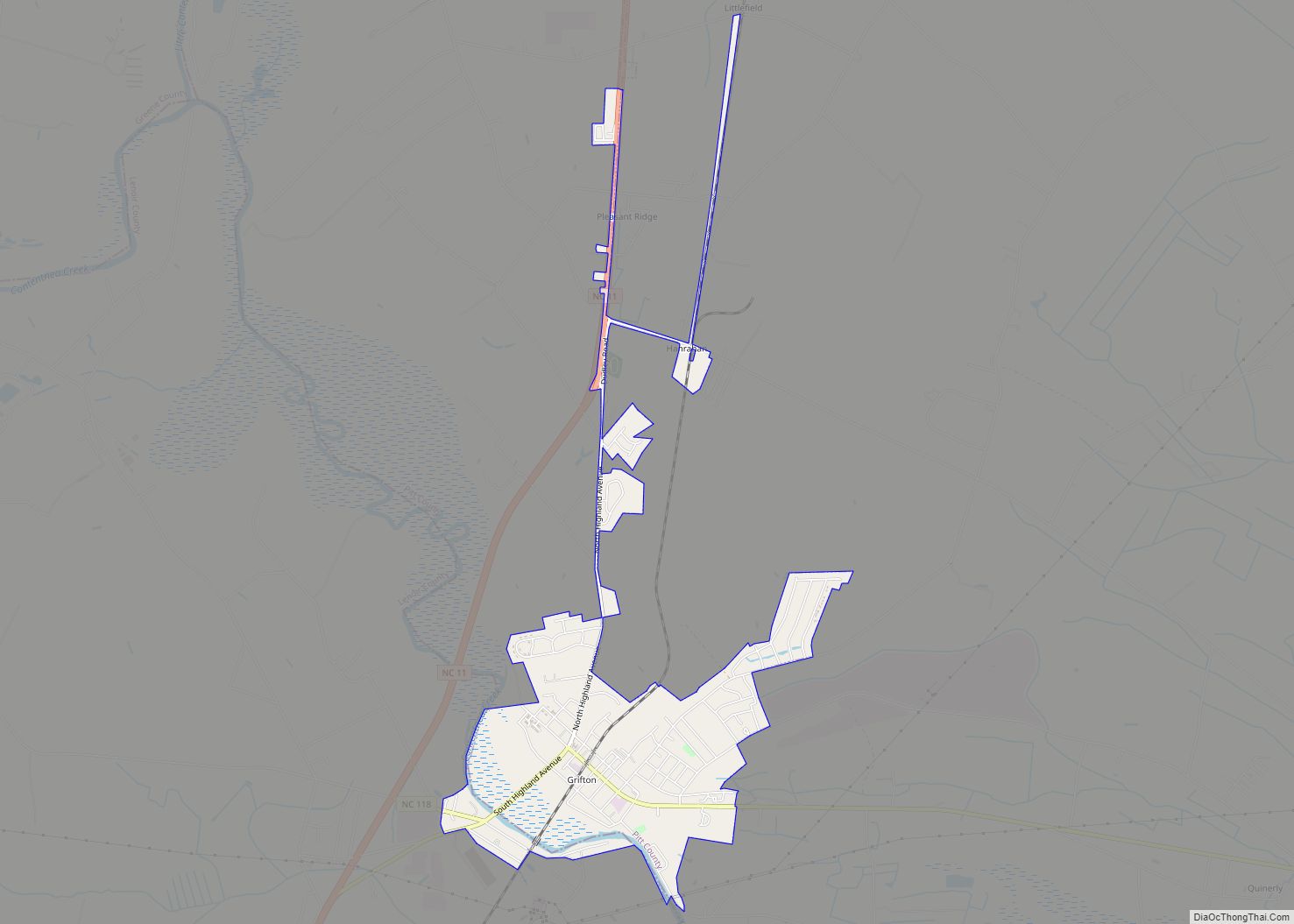
Stokes is a census-designated place in Pitt County, North Carolina, United States. The CDP is a part of the Greenville Metropolitan Area in North Carolina’s Inner Banks region.
It is located 10 miles northeast of Greenville along North Carolina Highway 30.
| Name: | Stokes CDP |
|---|---|
| LSAD Code: | 57 |
| LSAD Description: | CDP (suffix) |
| State: | North Carolina |
| County: | Pitt County |
| FIPS code: | 3765020 |
Online Interactive Map
Click on ![]() to view map in "full screen" mode.
to view map in "full screen" mode.
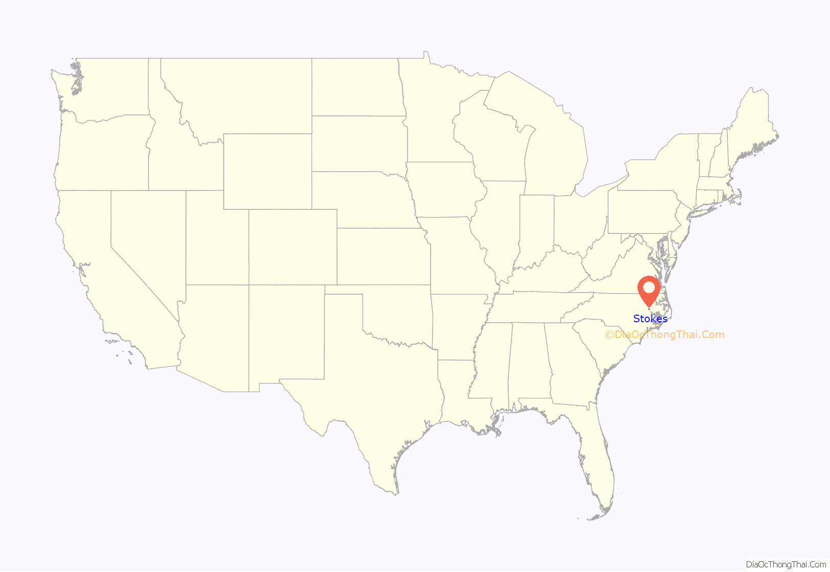
Stokes location map. Where is Stokes CDP?
History
The Thomas Sheppard Farm was listed on the National Register of Historic Places in 2000. John Henry Roberson, Jr., a direct descendant of the founders of Robersonville, owned his own farm south of Robersonville, and was involved in many civic affairs with his brothers David Roberson and Grover H. Roberson. Grover H. Roberson left the Stokes area in early 1938 to join the U.S. Navy. Grover saw action at the Battle of Anzio, in Italy. After the Battle of Anzio, Grover was in the company of a group of other naval officers and had a special audience with Pope Pius XIV at the Vatican in Rome, Italy. After discharge from the U.S. Navy, Grover moved to South Thomaston, Maine. David Roberson successfully operated the Robuck family farm, in the Robersonville/Stokes area for most of his life. reference: History of Martin and Pitt Counties.
Stokes Road Map
Stokes city Satellite Map
See also
Map of North Carolina State and its subdivision:- Alamance
- Alexander
- Alleghany
- Anson
- Ashe
- Avery
- Beaufort
- Bertie
- Bladen
- Brunswick
- Buncombe
- Burke
- Cabarrus
- Caldwell
- Camden
- Carteret
- Caswell
- Catawba
- Chatham
- Cherokee
- Chowan
- Clay
- Cleveland
- Columbus
- Craven
- Cumberland
- Currituck
- Dare
- Davidson
- Davie
- Duplin
- Durham
- Edgecombe
- Forsyth
- Franklin
- Gaston
- Gates
- Graham
- Granville
- Greene
- Guilford
- Halifax
- Harnett
- Haywood
- Henderson
- Hertford
- Hoke
- Hyde
- Iredell
- Jackson
- Johnston
- Jones
- Lee
- Lenoir
- Lincoln
- Macon
- Madison
- Martin
- McDowell
- Mecklenburg
- Mitchell
- Montgomery
- Moore
- Nash
- New Hanover
- Northampton
- Onslow
- Orange
- Pamlico
- Pasquotank
- Pender
- Perquimans
- Person
- Pitt
- Polk
- Randolph
- Richmond
- Robeson
- Rockingham
- Rowan
- Rutherford
- Sampson
- Scotland
- Stanly
- Stokes
- Surry
- Swain
- Transylvania
- Tyrrell
- Union
- Vance
- Wake
- Warren
- Washington
- Watauga
- Wayne
- Wilkes
- Wilson
- Yadkin
- Yancey
- Alabama
- Alaska
- Arizona
- Arkansas
- California
- Colorado
- Connecticut
- Delaware
- District of Columbia
- Florida
- Georgia
- Hawaii
- Idaho
- Illinois
- Indiana
- Iowa
- Kansas
- Kentucky
- Louisiana
- Maine
- Maryland
- Massachusetts
- Michigan
- Minnesota
- Mississippi
- Missouri
- Montana
- Nebraska
- Nevada
- New Hampshire
- New Jersey
- New Mexico
- New York
- North Carolina
- North Dakota
- Ohio
- Oklahoma
- Oregon
- Pennsylvania
- Rhode Island
- South Carolina
- South Dakota
- Tennessee
- Texas
- Utah
- Vermont
- Virginia
- Washington
- West Virginia
- Wisconsin
- Wyoming
