Unionville is a rural town in Union County, North Carolina, United States. The population was 5,929 at the 2010 census.
| Name: | Unionville town |
|---|---|
| LSAD Code: | 43 |
| LSAD Description: | town (suffix) |
| State: | North Carolina |
| County: | Union County |
| Elevation: | 671 ft (180 m) |
| Total Area: | 29.40 sq mi (76.16 km²) |
| Land Area: | 29.22 sq mi (75.67 km²) |
| Water Area: | 0.19 sq mi (0.49 km²) |
| Total Population: | 6,643 |
| Population Density: | 227.37/sq mi (87.79/km²) |
| FIPS code: | 3769260 |
| GNISfeature ID: | 1023045 |
| Website: | http://unionvillenc.com/ |
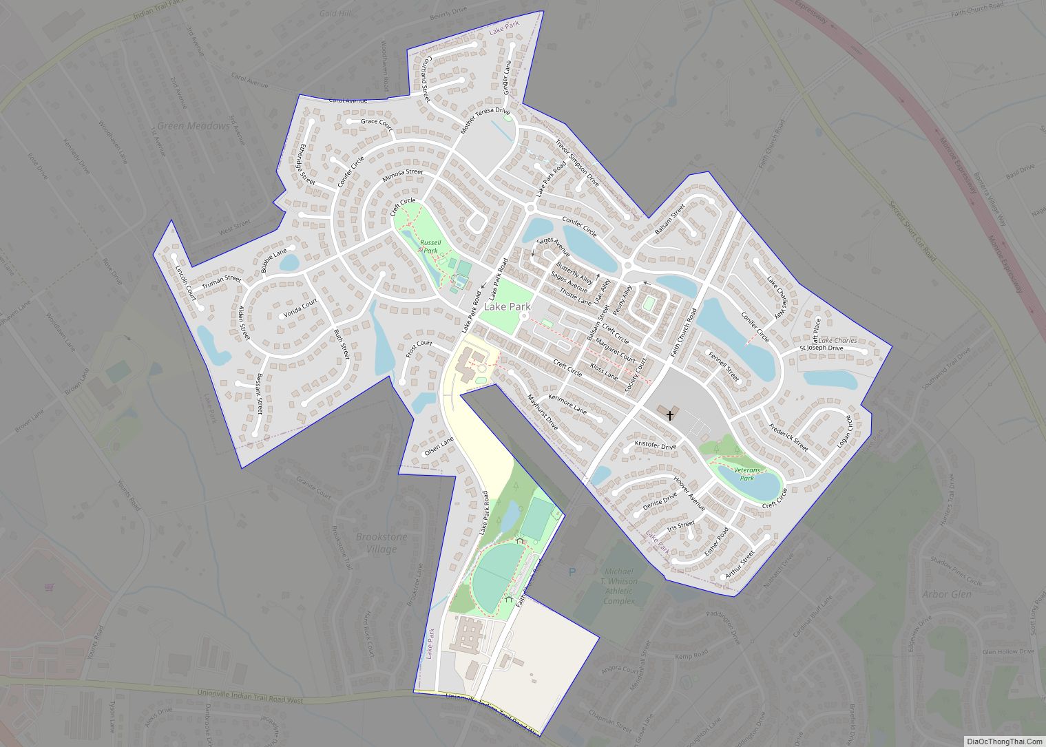
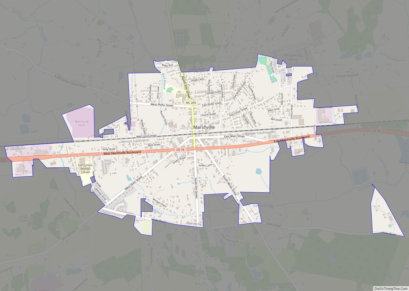
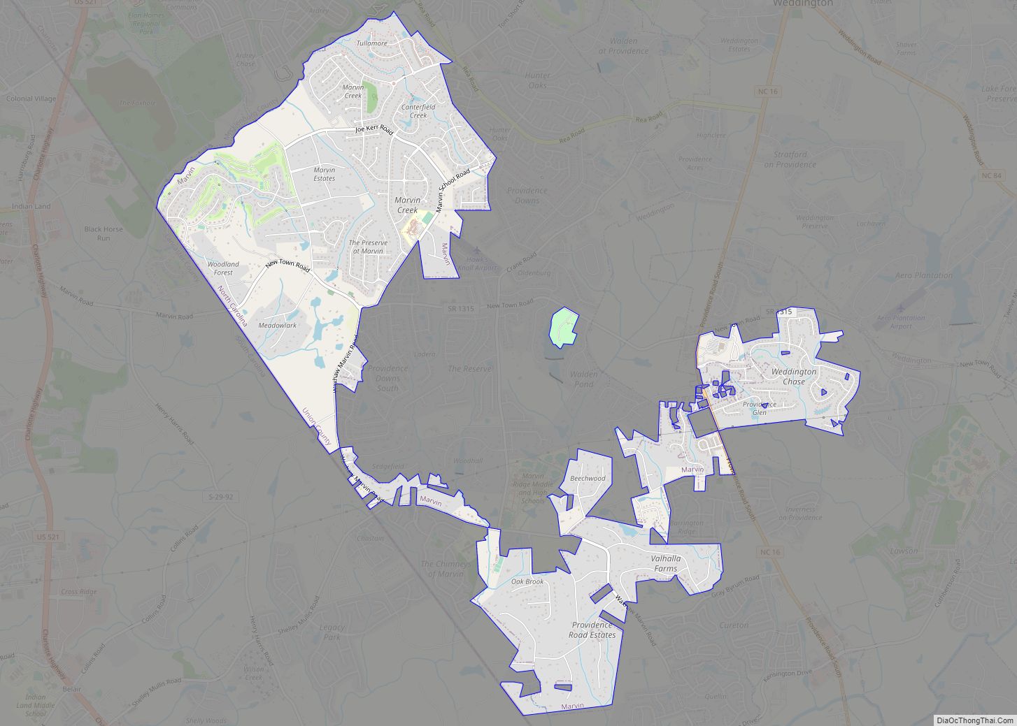
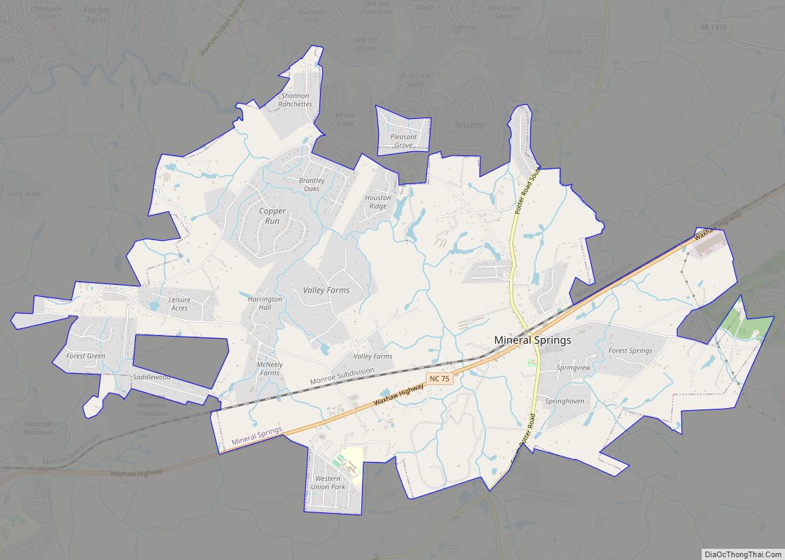
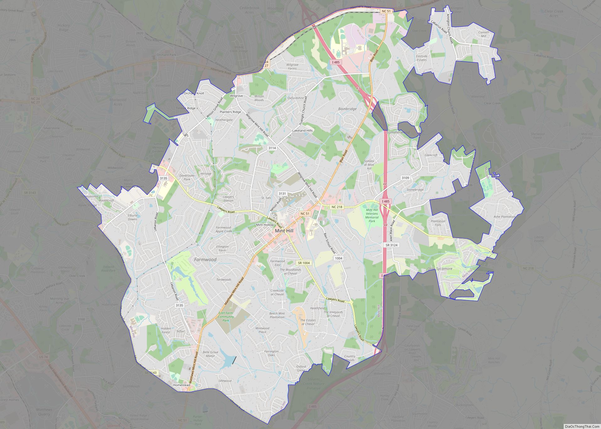
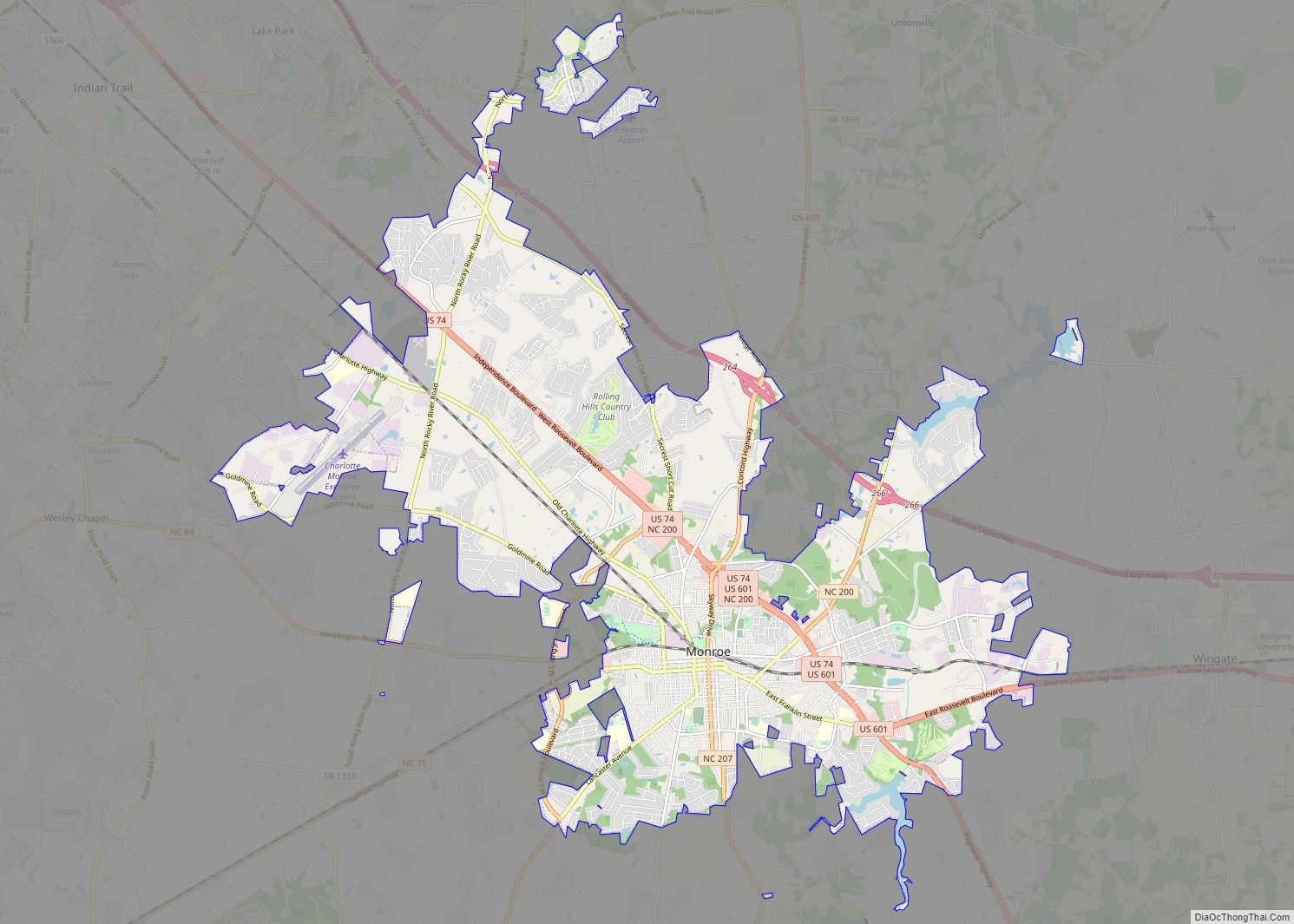
Online Interactive Map
Click on ![]() to view map in "full screen" mode.
to view map in "full screen" mode.
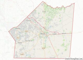
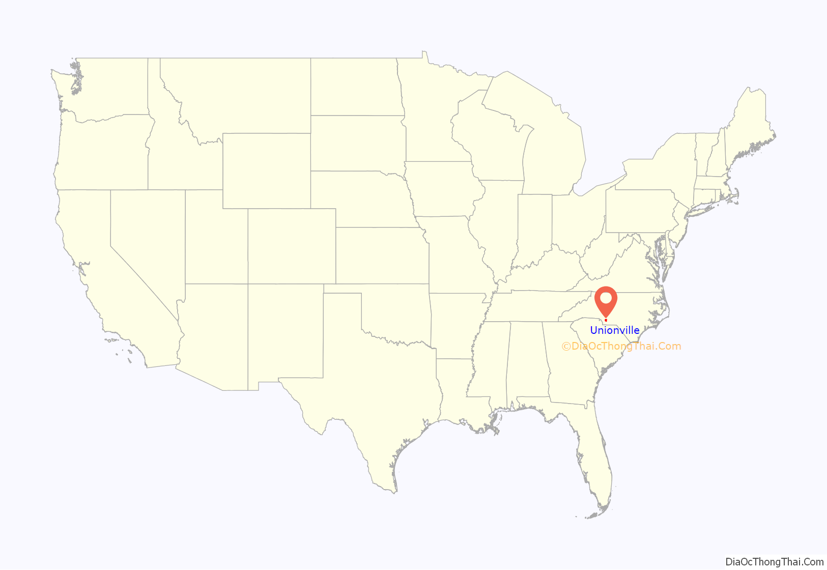
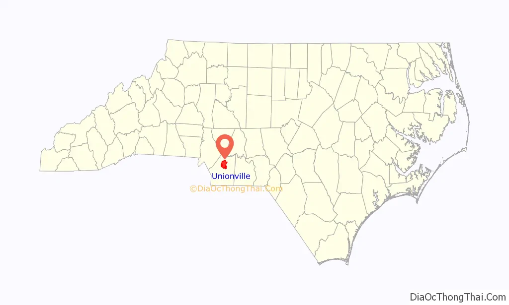
Unionville location map. Where is Unionville town?
History
The town of Unionville was originally chartered by the North Carolina General Assembly in 1911. Town officials met in the Union Institute building until the building was destroyed by fire. Local leaders, working with the general assembly succeeded in reactivating the town’s charter in 1998.
Union County was formed in 1842 from parts of Anson County and Mecklenburg County. The town of Unionville was created in the Goose Creek community on the former Mecklenburg / Anson county line which ran north to south a long what is now Unionville Road.
Union Institute
Founded in 1886 by Professor Oliver C. Hamilton, the Union Institute was organized to serve the educational needs of the community. In 1885, local residents provided materials and labor for the construction of the school which served students of all ages from Union County as well as upstate South Carolina. Professor Hamilton left the school in 1898, but returned to the institute serving as head instructor in 1904. Originally constructed as a private school, the Union Institute was turned over to the county board of education in 1910. The two story structure was constructed next to the site of the current Unionville Community Center. In January 1917, a fire destroyed the building in its entirety. Students escaping from the building saved the school bell from the second story porch. The original Union Institute bell has served each successive Unionville School since; and today is displayed from the main entrance to Unionville elementary school.
Town Hall
Unionville Town Hall is located at the intersection of Unionville Road and Unionville-Indian Trail Rd. Town Hall was originally constructed as the fellowship for the Unionville Presbyterian Church which was constructed in 1915. The sanctuary of the Unionville Presbyterian Church was destroyed by fire in July,1994. After meeting for the next five years in the former fellowship hall, the congregation of Unionville Presbyterian Church dedicated the building and grounds to the town of Unionville for municipal use. The first town meeting held in the current town hall occurred on February 17, 2000.
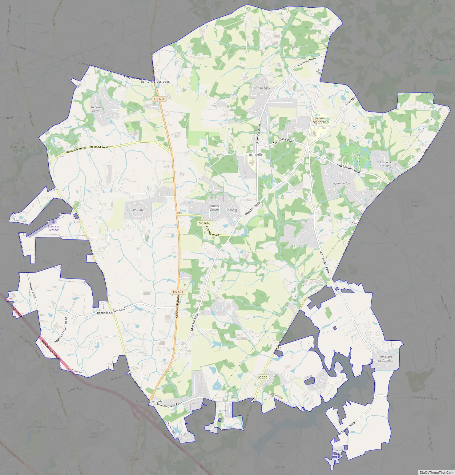
Unionville Road Map
Unionville city Satellite Map
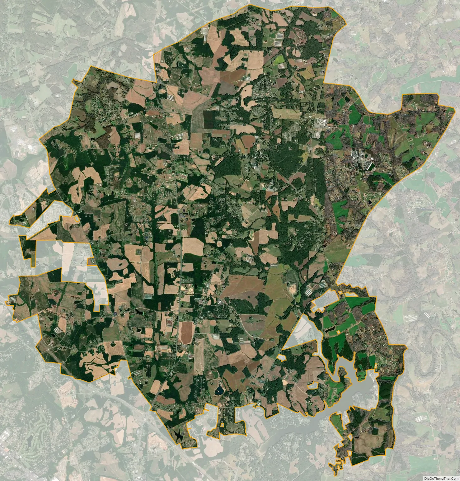
Geography
Unionville is located at 35°4′24″N 80°31′15″W / 35.07333°N 80.52083°W / 35.07333; -80.52083 (35.073239, -80.520922).
According to the United States Census Bureau, the town has a total area of 26.2 square miles (68 km), of which 26.2 square miles (68 km) is land and 0.04 square miles (0.10 km) (0.11%) is water. It is situated in the foothills of the Uwharrie Mountains.
See also
Map of North Carolina State and its subdivision:- Alamance
- Alexander
- Alleghany
- Anson
- Ashe
- Avery
- Beaufort
- Bertie
- Bladen
- Brunswick
- Buncombe
- Burke
- Cabarrus
- Caldwell
- Camden
- Carteret
- Caswell
- Catawba
- Chatham
- Cherokee
- Chowan
- Clay
- Cleveland
- Columbus
- Craven
- Cumberland
- Currituck
- Dare
- Davidson
- Davie
- Duplin
- Durham
- Edgecombe
- Forsyth
- Franklin
- Gaston
- Gates
- Graham
- Granville
- Greene
- Guilford
- Halifax
- Harnett
- Haywood
- Henderson
- Hertford
- Hoke
- Hyde
- Iredell
- Jackson
- Johnston
- Jones
- Lee
- Lenoir
- Lincoln
- Macon
- Madison
- Martin
- McDowell
- Mecklenburg
- Mitchell
- Montgomery
- Moore
- Nash
- New Hanover
- Northampton
- Onslow
- Orange
- Pamlico
- Pasquotank
- Pender
- Perquimans
- Person
- Pitt
- Polk
- Randolph
- Richmond
- Robeson
- Rockingham
- Rowan
- Rutherford
- Sampson
- Scotland
- Stanly
- Stokes
- Surry
- Swain
- Transylvania
- Tyrrell
- Union
- Vance
- Wake
- Warren
- Washington
- Watauga
- Wayne
- Wilkes
- Wilson
- Yadkin
- Yancey
- Alabama
- Alaska
- Arizona
- Arkansas
- California
- Colorado
- Connecticut
- Delaware
- District of Columbia
- Florida
- Georgia
- Hawaii
- Idaho
- Illinois
- Indiana
- Iowa
- Kansas
- Kentucky
- Louisiana
- Maine
- Maryland
- Massachusetts
- Michigan
- Minnesota
- Mississippi
- Missouri
- Montana
- Nebraska
- Nevada
- New Hampshire
- New Jersey
- New Mexico
- New York
- North Carolina
- North Dakota
- Ohio
- Oklahoma
- Oregon
- Pennsylvania
- Rhode Island
- South Carolina
- South Dakota
- Tennessee
- Texas
- Utah
- Vermont
- Virginia
- Washington
- West Virginia
- Wisconsin
- Wyoming