Baileyton is a town in northern Greene County, Tennessee, United States. The population was 431 at the 2010 census, down from 504 at the 2000 census. Baileyton is located 13 miles (21 km) north of Greeneville and 18 miles (29 km) southeast of Rogersville.
| Name: | Baileyton town |
|---|---|
| LSAD Code: | 43 |
| LSAD Description: | town (suffix) |
| State: | Tennessee |
| County: | Greene County |
| Incorporated: | 1915 |
| Elevation: | 1,211 ft (369 m) |
| Total Area: | 1.62 sq mi (4.20 km²) |
| Land Area: | 1.62 sq mi (4.20 km²) |
| Water Area: | 0.00 sq mi (0.00 km²) |
| Total Population: | 436 |
| Population Density: | 268.80/sq mi (103.80/km²) |
| ZIP code: | 37745 |
| Area code: | 423 |
| FIPS code: | 4702780 |
| GNISfeature ID: | 1276120 |
Online Interactive Map
Click on ![]() to view map in "full screen" mode.
to view map in "full screen" mode.
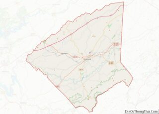
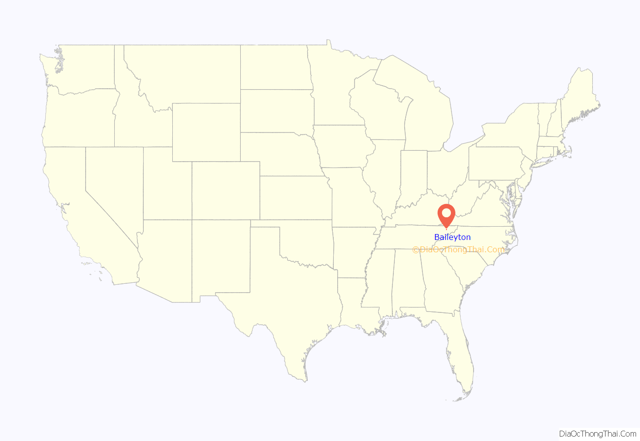
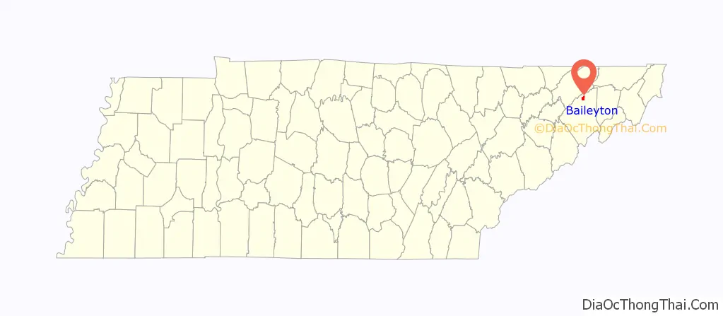
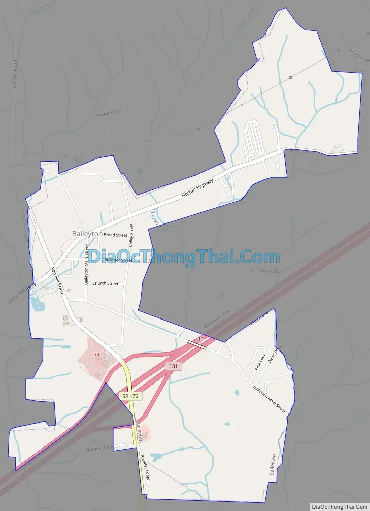
Baileyton location map. Where is Baileyton town?
History
Originally called “Laurel Gap”, the area was first settled in 1776. Many Families lived in Laurel Gap mostly farmers. Then a name change came about and it was called Bailey Town from 1892 till 1915. When the town became incorporated, in 1915, the W was dropped and the name changed to “Baileyton”, which stems from Claudius and Thomas P. Bailey, two brothers who lived there.
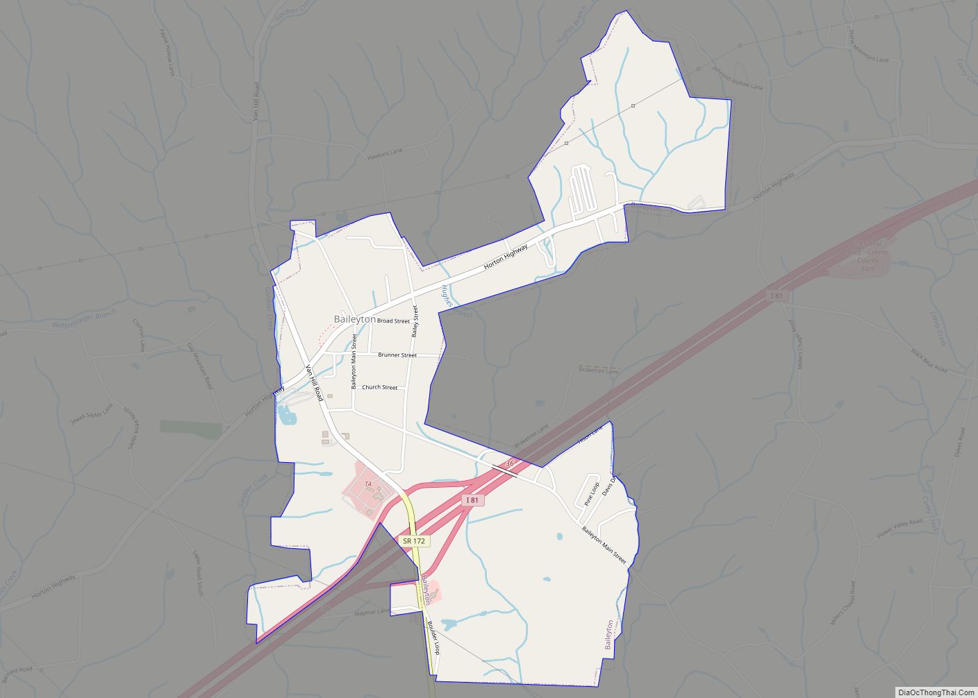
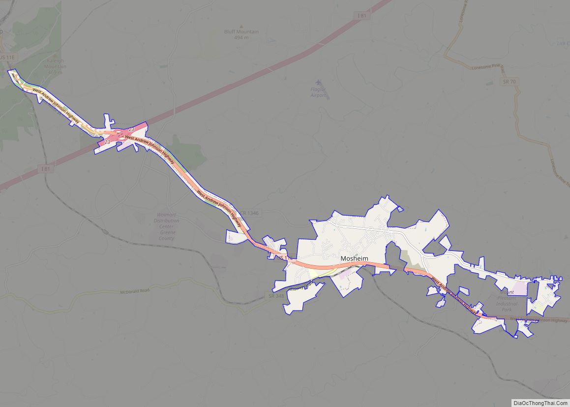
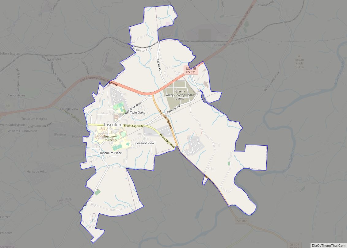
Baileyton Road Map
Baileyton city Satellite Map

Geography
Baileyton is located at 36°19′41″N 82°49′50″W / 36.32806°N 82.83056°W / 36.32806; -82.83056 (36.328094, -82.830501), at the base of a rugged area of northern Greene County, just south of the Hawkins County line. Bays Mountain, part of the greater Ridge-and-Valley Appalachians, rises prominently to the north. The town is drained primarily by Gardner Creek and Hughes Branch, both tributaries of Lick Creek (which is in turn a tributary of the Nolichucky River).
According to the United States Census Bureau, the town has a total area of 1.7 square miles (4.3 km), all of it land.
See also
Map of Tennessee State and its subdivision:- Anderson
- Bedford
- Benton
- Bledsoe
- Blount
- Bradley
- Campbell
- Cannon
- Carroll
- Carter
- Cheatham
- Chester
- Claiborne
- Clay
- Cocke
- Coffee
- Crockett
- Cumberland
- Davidson
- Decatur
- DeKalb
- Dickson
- Dyer
- Fayette
- Fentress
- Franklin
- Gibson
- Giles
- Grainger
- Greene
- Grundy
- Hamblen
- Hamilton
- Hancock
- Hardeman
- Hardin
- Hawkins
- Haywood
- Henderson
- Henry
- Hickman
- Houston
- Humphreys
- Jackson
- Jefferson
- Johnson
- Knox
- Lake
- Lauderdale
- Lawrence
- Lewis
- Lincoln
- Loudon
- Macon
- Madison
- Marion
- Marshall
- Maury
- McMinn
- McNairy
- Meigs
- Monroe
- Montgomery
- Moore
- Morgan
- Obion
- Overton
- Perry
- Pickett
- Polk
- Putnam
- Rhea
- Roane
- Robertson
- Rutherford
- Scott
- Sequatchie
- Sevier
- Shelby
- Smith
- Stewart
- Sullivan
- Sumner
- Tipton
- Trousdale
- Unicoi
- Union
- Van Buren
- Warren
- Washington
- Wayne
- Weakley
- White
- Williamson
- Wilson
- Alabama
- Alaska
- Arizona
- Arkansas
- California
- Colorado
- Connecticut
- Delaware
- District of Columbia
- Florida
- Georgia
- Hawaii
- Idaho
- Illinois
- Indiana
- Iowa
- Kansas
- Kentucky
- Louisiana
- Maine
- Maryland
- Massachusetts
- Michigan
- Minnesota
- Mississippi
- Missouri
- Montana
- Nebraska
- Nevada
- New Hampshire
- New Jersey
- New Mexico
- New York
- North Carolina
- North Dakota
- Ohio
- Oklahoma
- Oregon
- Pennsylvania
- Rhode Island
- South Carolina
- South Dakota
- Tennessee
- Texas
- Utah
- Vermont
- Virginia
- Washington
- West Virginia
- Wisconsin
- Wyoming