Fall Branch is a census-designated place (CDP) in Washington and Greene counties in the U.S. state of Tennessee. The population was 1,291 at the 2010 census. Some areas in Sullivan also use the Fall Branch ZIP code.
Fall Branch is part of the Johnson City Metropolitan Statistical Area, which is a component of the Johnson City–Kingsport–Bristol, TN-VA Combined Statistical Area – commonly known as the “Tri-Cities” region.
| Name: | Fall Branch CDP |
|---|---|
| LSAD Code: | 57 |
| LSAD Description: | CDP (suffix) |
| State: | Tennessee |
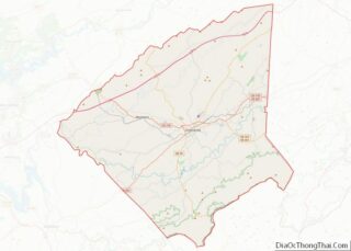
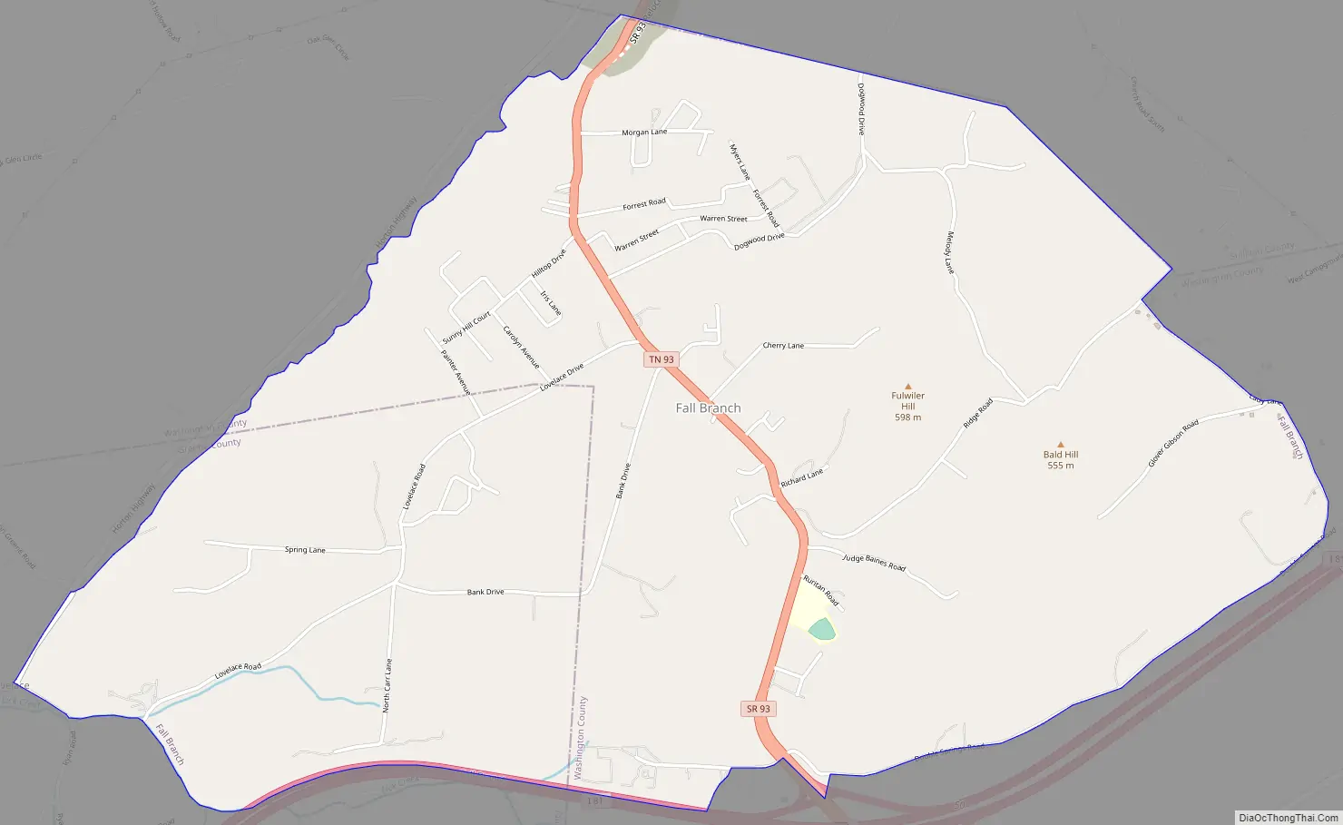
| County: | Greene County, Washington County |
| Elevation: | 1,545 ft (457 m) |
| Total Area: | 4.52 sq mi (11.70 km²) |
| Land Area: | 4.52 sq mi (11.70 km²) |
| Water Area: | 0.00 sq mi (0.00 km²) |
| Total Population: | 1,248 |
| Population Density: | 276.29/sq mi (106.67/km²) |
| ZIP code: | 37656 |
| Area code: | 423 |
| FIPS code: | 4725540 |
| GNISfeature ID: | 2402475 |
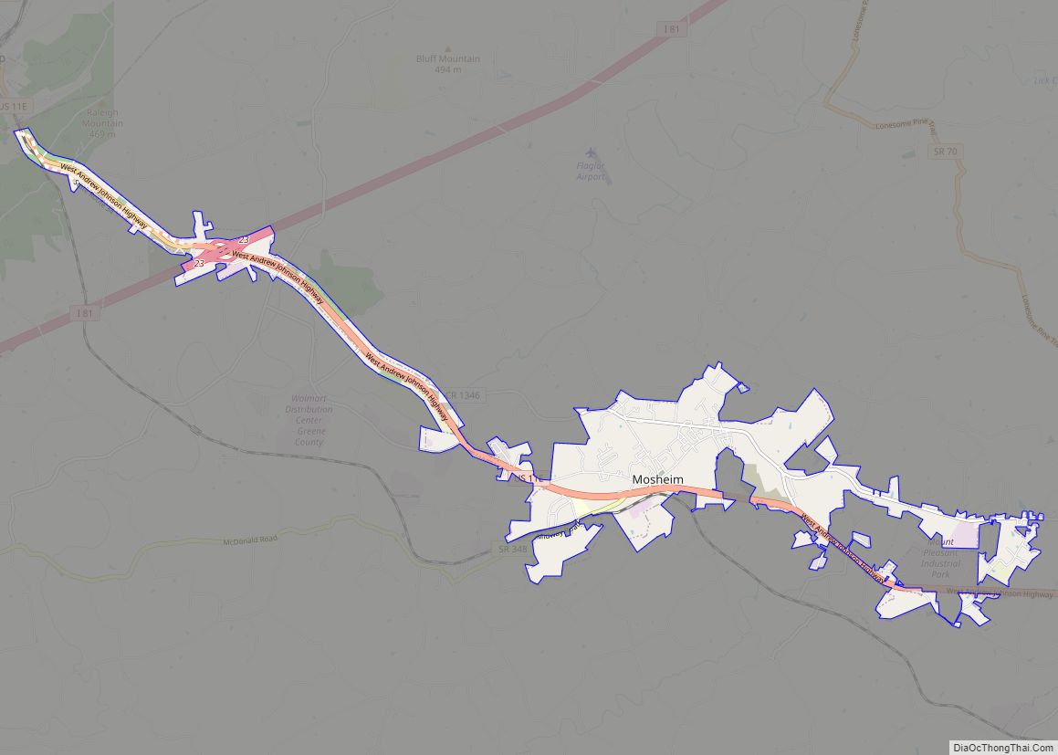
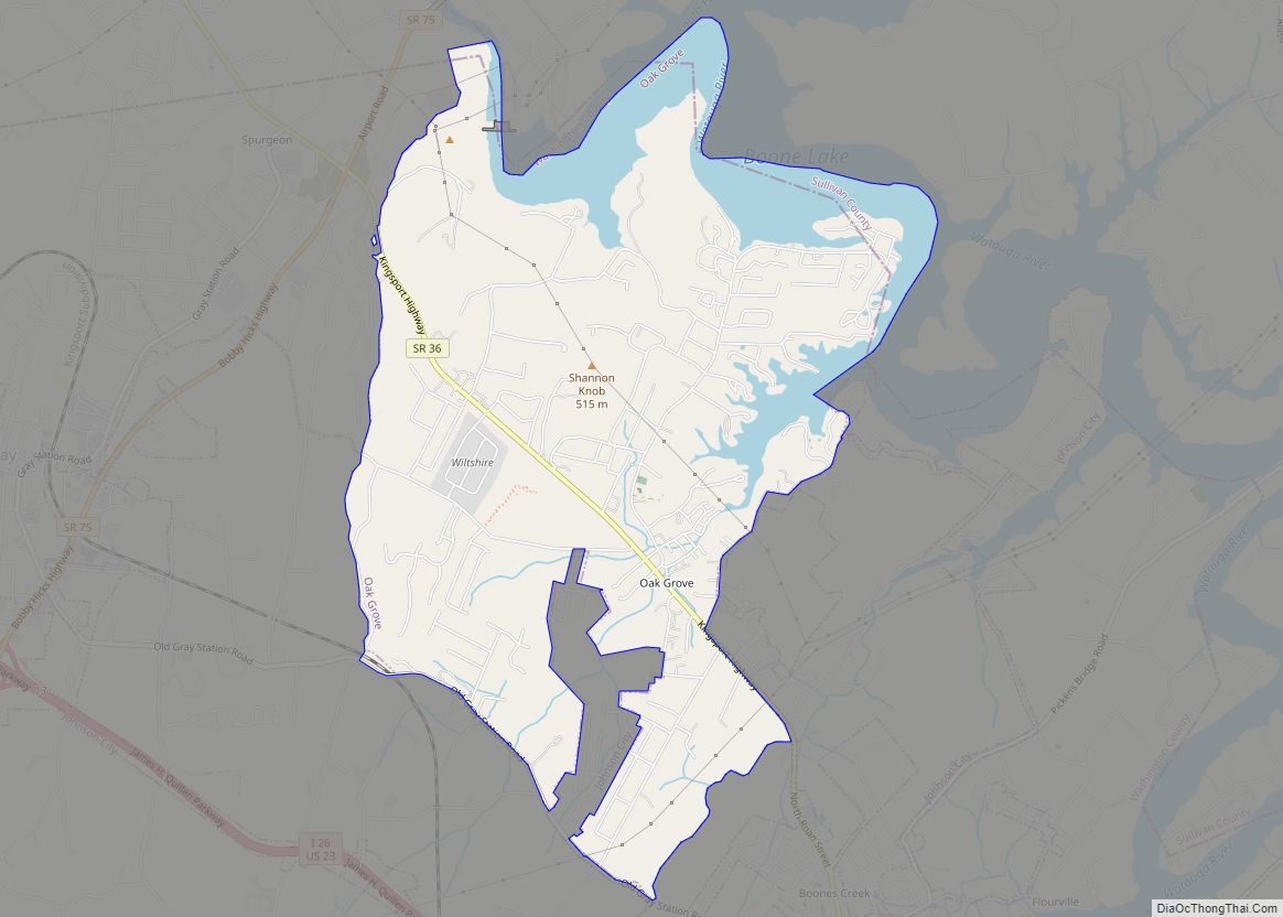
Online Interactive Map
Click on ![]() to view map in "full screen" mode.
to view map in "full screen" mode.
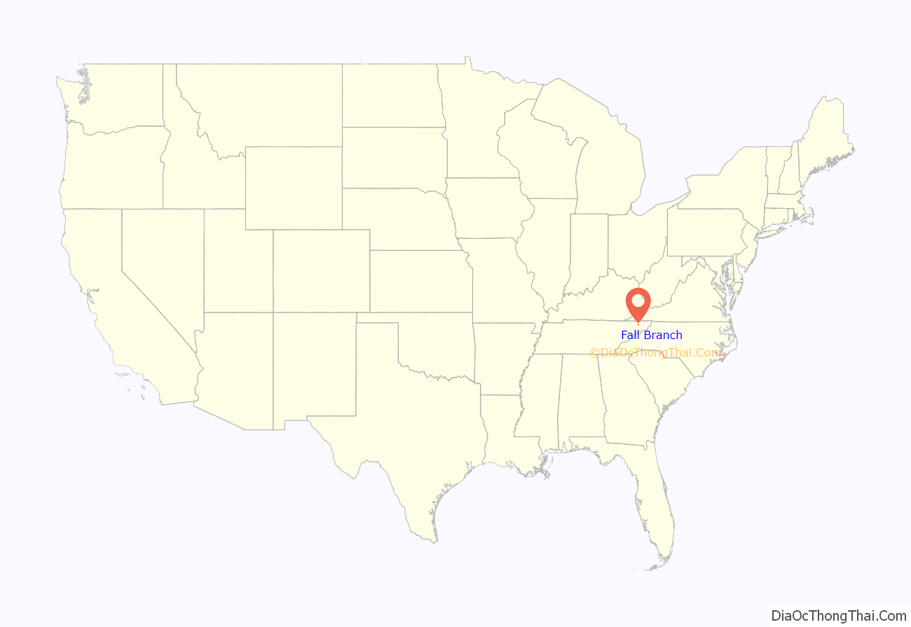
Fall Branch location map. Where is Fall Branch CDP?

History
One of the earliest settlers at Fall Branch was Isaac White, a Revolutionary War veteran who arrived in the area in 1781. He eventually established a farm at what is now the intersection of Interstate 81 and State Highway 93. Another early settler, Gabriel Morgan, built a grist mill at Fall Branch in the early 1800s. The mill stood until the 1930s, when it was torn down.
By the early 1800s, Fall Branch was known as “Crouch Town”, after a family of early settlers. The name had changed to “James’ Cross Roads” by 1830, when a post office was established. The name “Falls Branch” had been adopted by 1854, and the “s” was dropped from “Falls” in 1883, giving the community its current name. The name was inspired by the waterfall the community’s main creek, also called Fall Branch, spills over just before it empties into Horse Creek.
In 1836, Fall Branch was designated as the county seat of the proposed “Powell County”, which would have consisted of parts of Washington, Greene, Sullivan, and Hawkins counties. While voters approved of the new county, it was rejected by the Tennessee Supreme Court on the grounds that it failed to meet the minimum size required by the state constitution for new counties.
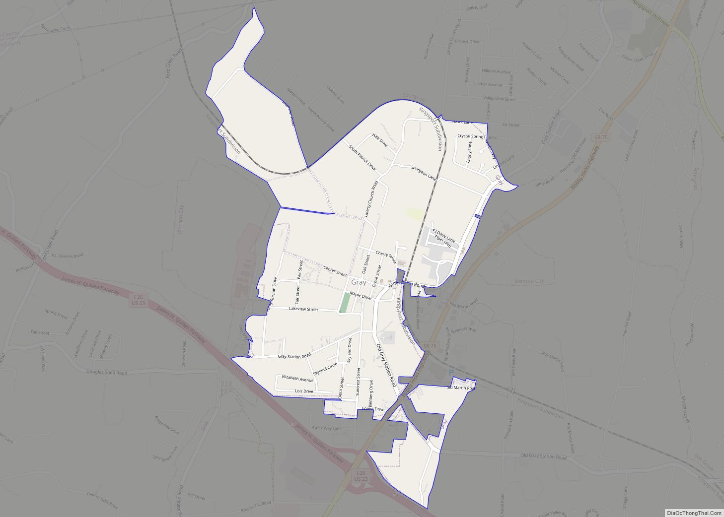
A school, Fall Branch Seminary, was established at Fall Branch in 1842. Fall Branch High School, initially a two-year school, was established before 1900. The high school was consolidated with several other smaller schools to form Daniel Boone High School in nearby Gray in 1971.
A number of buildings dating to the 19th century still stand in Fall Branch. The Masonic Lodge, home to Johnson Lodge No. 274, was completed in 1869. The Joseph Sheppard House, constructed in the late 1850s, was believed to have been used to hide Confederate soldiers during the Civil War. The Bud White Home was constructed by a local physician, Jonathan Blair White, in 1869. The Hopper House, used as a boarding home for early Fall Branch Seminary students, was constructed in the first half of the 19th century.
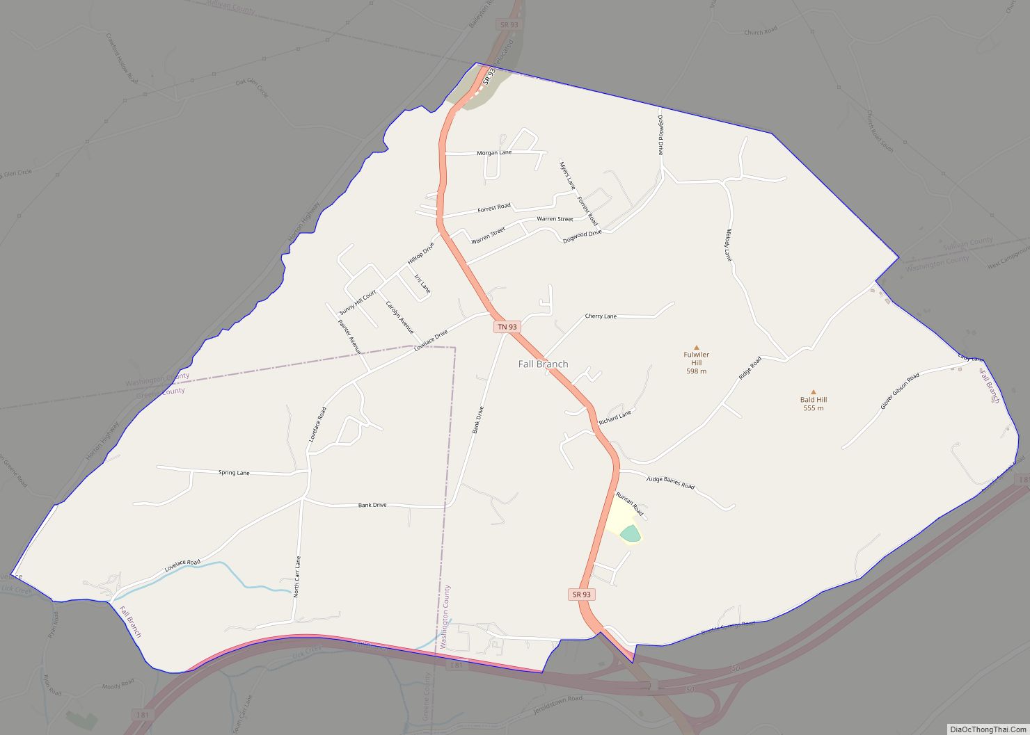
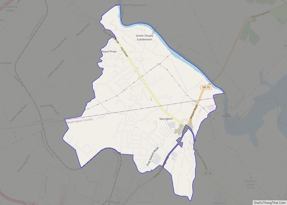
Fall Branch Road Map
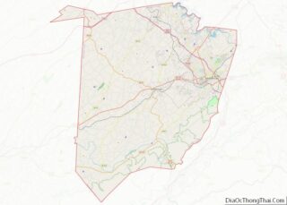
Fall Branch city Satellite Map

Geography
Fall Branch is located at 36°25′11″N 82°37′36″W / 36.419684°N 82.626760°W / 36.419684; -82.626760 (36.419684, -82.626760). The community is situated along a creek of the same name that flows northward for several miles before emptying into Horse Creek (Horse Creek is a tributary of the South Fork Holston River). Just before reaching Horse Creek, Fall Branch flows over the 40-foot (12 m) Fall Branch Falls. Many of Fall Branch’s houses and public buildings lie along the base of the 1,962-foot (598 m) Fulwiler Hill. Chimneytop Mountain, part of the greater Ridge-and-Valley Appalachians, rises prominently several miles to the west.
According to the United States Census Bureau, the CDP has a total area of 4.5 square miles (11.7 km), all of it land.
See also
Map of Tennessee State and its subdivision:- Anderson
- Bedford
- Benton
- Bledsoe
- Blount
- Bradley
- Campbell
- Cannon
- Carroll
- Carter
- Cheatham
- Chester
- Claiborne
- Clay
- Cocke
- Coffee
- Crockett
- Cumberland
- Davidson
- Decatur
- DeKalb
- Dickson
- Dyer
- Fayette
- Fentress
- Franklin
- Gibson
- Giles
- Grainger
- Greene
- Grundy
- Hamblen
- Hamilton
- Hancock
- Hardeman
- Hardin
- Hawkins
- Haywood
- Henderson
- Henry
- Hickman
- Houston
- Humphreys
- Jackson
- Jefferson
- Johnson
- Knox
- Lake
- Lauderdale
- Lawrence
- Lewis
- Lincoln
- Loudon
- Macon
- Madison
- Marion
- Marshall
- Maury
- McMinn
- McNairy
- Meigs
- Monroe
- Montgomery
- Moore
- Morgan
- Obion
- Overton
- Perry
- Pickett
- Polk
- Putnam
- Rhea
- Roane
- Robertson
- Rutherford
- Scott
- Sequatchie
- Sevier
- Shelby
- Smith
- Stewart
- Sullivan
- Sumner
- Tipton
- Trousdale
- Unicoi
- Union
- Van Buren
- Warren
- Washington
- Wayne
- Weakley
- White
- Williamson
- Wilson
- Alabama
- Alaska
- Arizona
- Arkansas
- California
- Colorado
- Connecticut
- Delaware
- District of Columbia
- Florida
- Georgia
- Hawaii
- Idaho
- Illinois
- Indiana
- Iowa
- Kansas
- Kentucky
- Louisiana
- Maine
- Maryland
- Massachusetts
- Michigan
- Minnesota
- Mississippi
- Missouri
- Montana
- Nebraska
- Nevada
- New Hampshire
- New Jersey
- New Mexico
- New York
- North Carolina
- North Dakota
- Ohio
- Oklahoma
- Oregon
- Pennsylvania
- Rhode Island
- South Carolina
- South Dakota
- Tennessee
- Texas
- Utah
- Vermont
- Virginia
- Washington
- West Virginia
- Wisconsin
- Wyoming