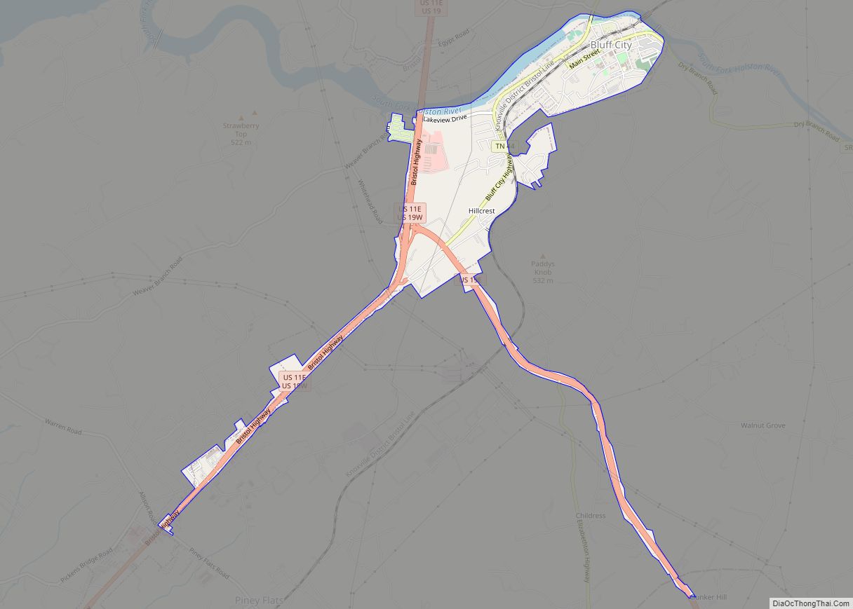
Bluff City is a city in Sullivan County, Tennessee, United States. The population was 1,733 at the 2010 census. It is part of the Kingsport–Bristol (TN)–Bristol (VA) Metropolitan Statistical Area, which is a component of the Johnson City–Kingsport–Bristol, TN-VA Combined Statistical Area – commonly known as the “Tri-Cities” region.
| Name: | Bluff City city |
|---|---|
| LSAD Code: | 25 |
| LSAD Description: | city (suffix) |
| State: | Tennessee |
| County: | Sullivan County |
| Elevation: | 1,450 ft (442 m) |
| Total Area: | 1.85 sq mi (4.80 km²) |
| Land Area: | 1.75 sq mi (4.53 km²) |
| Water Area: | 0.10 sq mi (0.27 km²) |
| Total Population: | 1,822 |
| Population Density: | 1,042.93/sq mi (402.64/km²) |
| ZIP code: | 37618 |
| Area code: | 423 |
| FIPS code: | 4706960 |
| GNISfeature ID: | 1305320 |
| Website: | www.bluffcitytn.org |
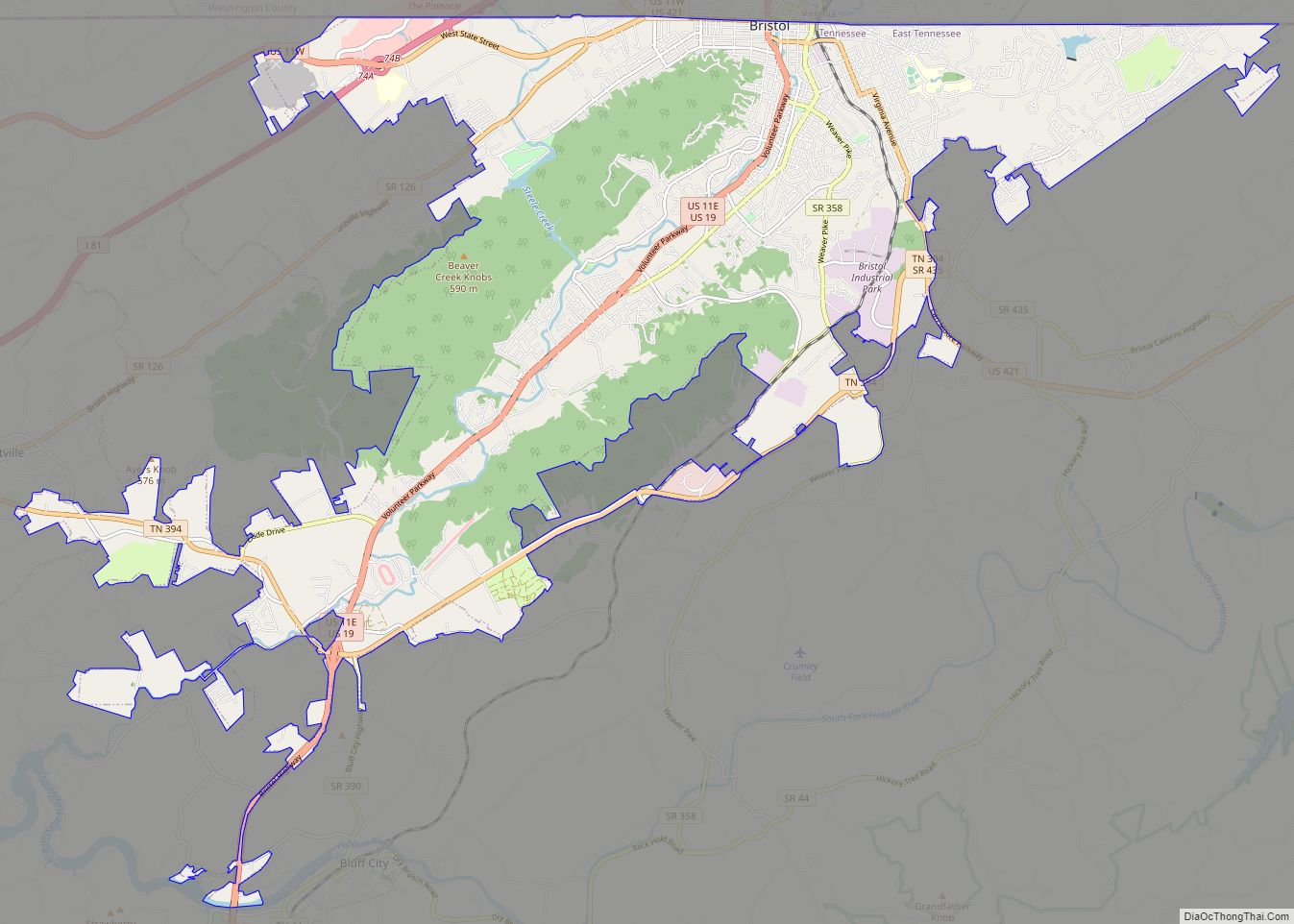
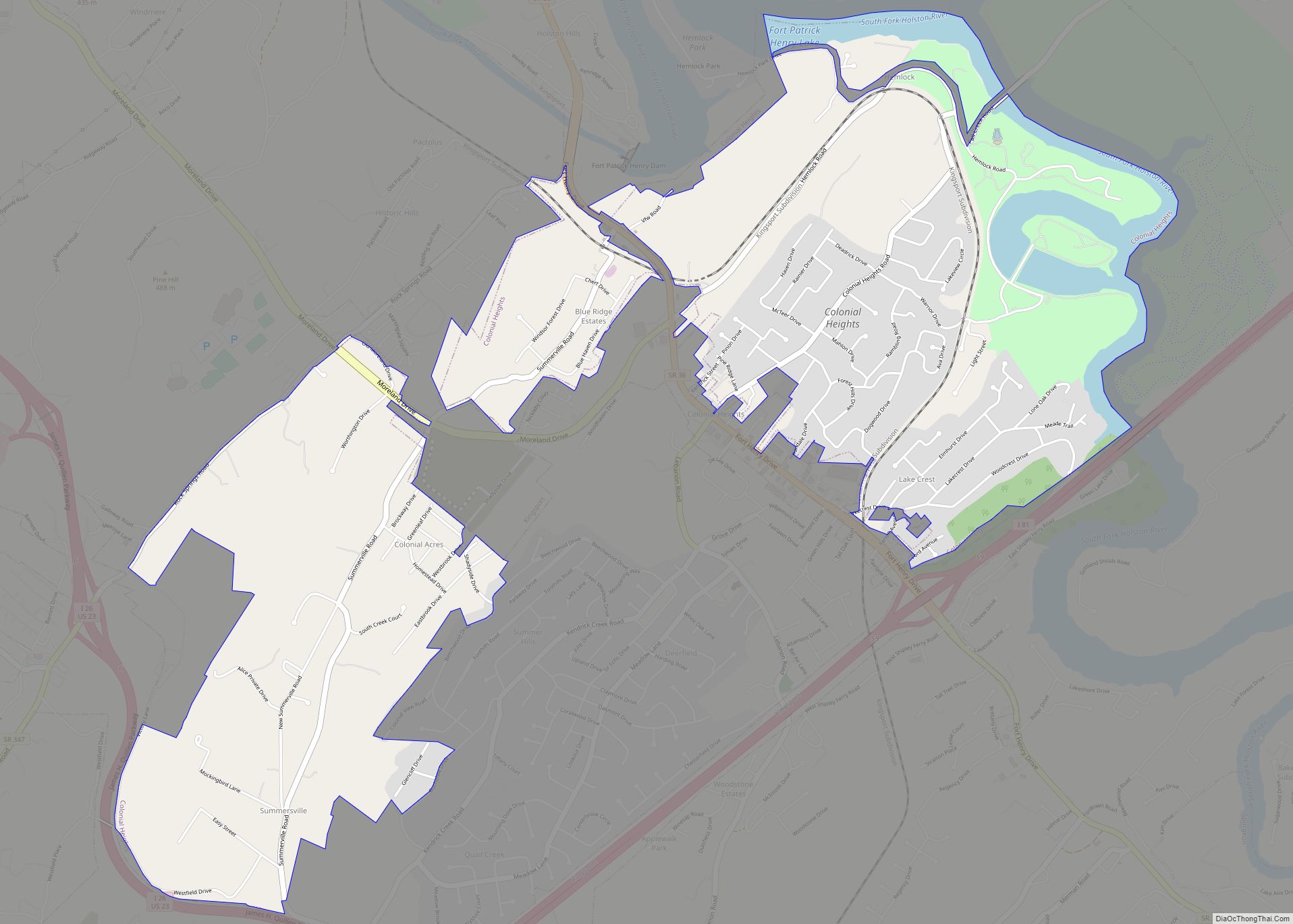
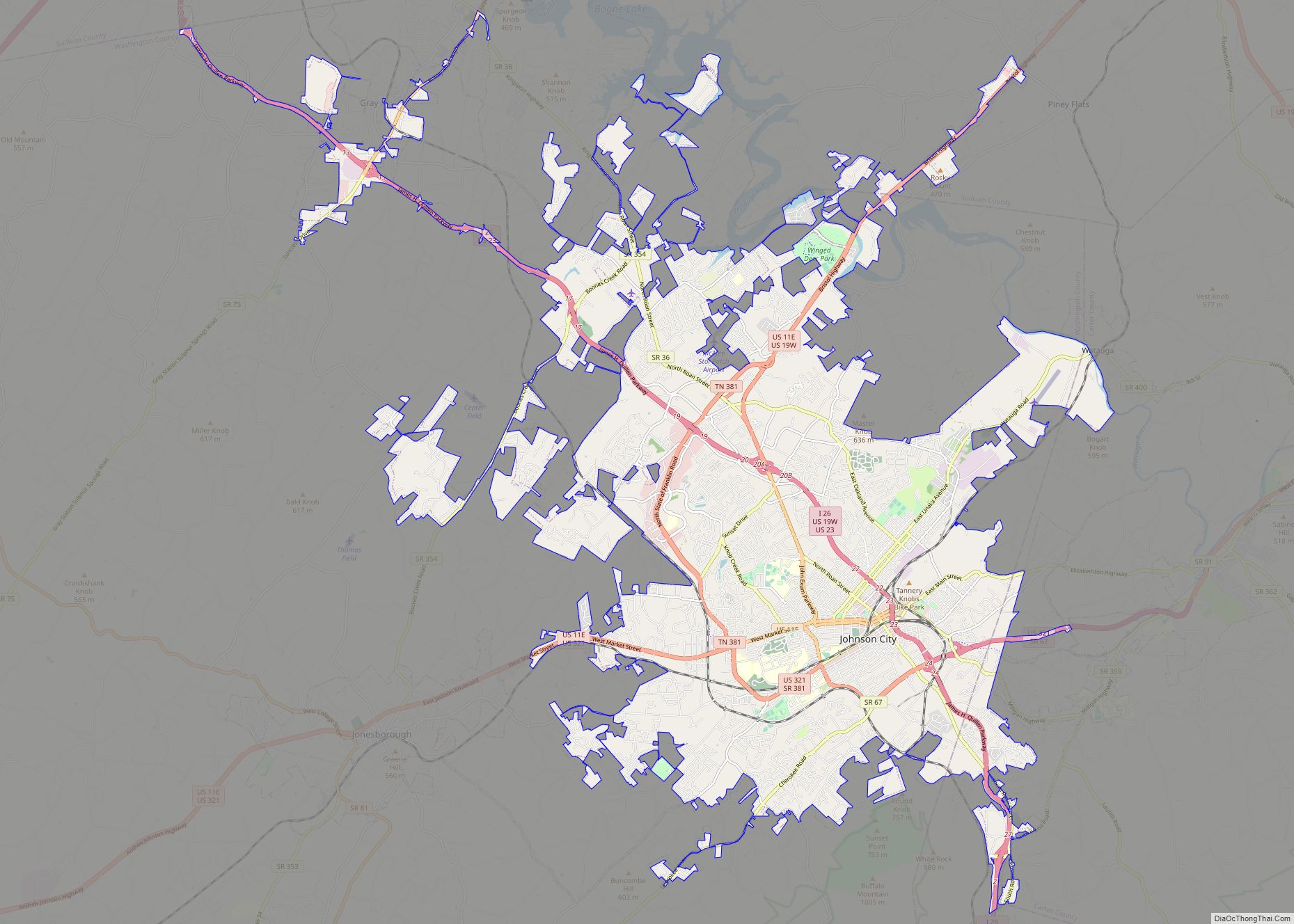
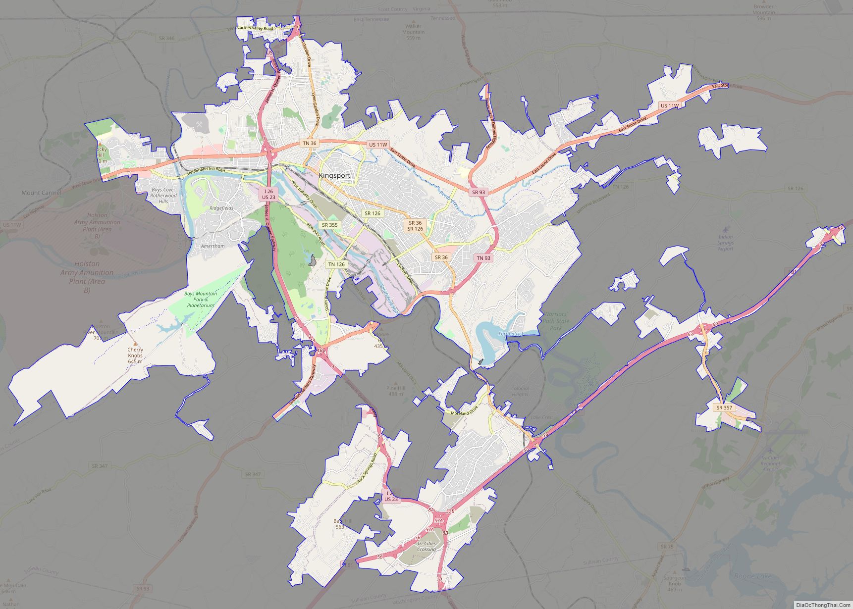
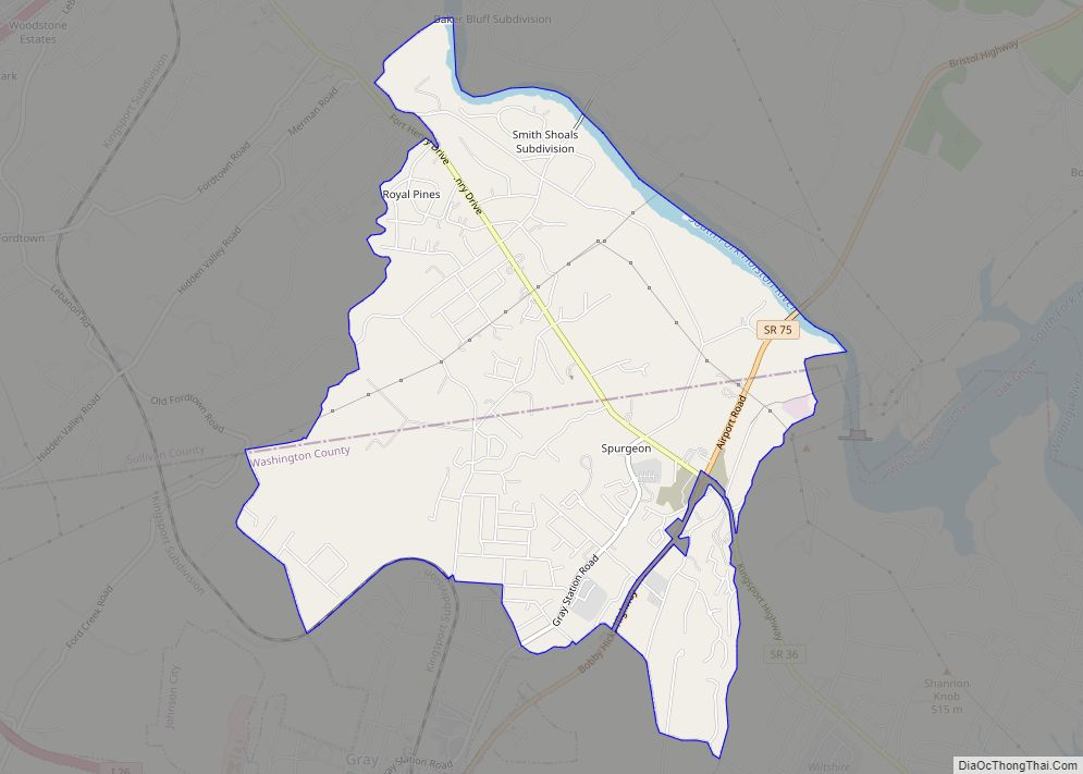
Online Interactive Map
Click on ![]() to view map in "full screen" mode.
to view map in "full screen" mode.
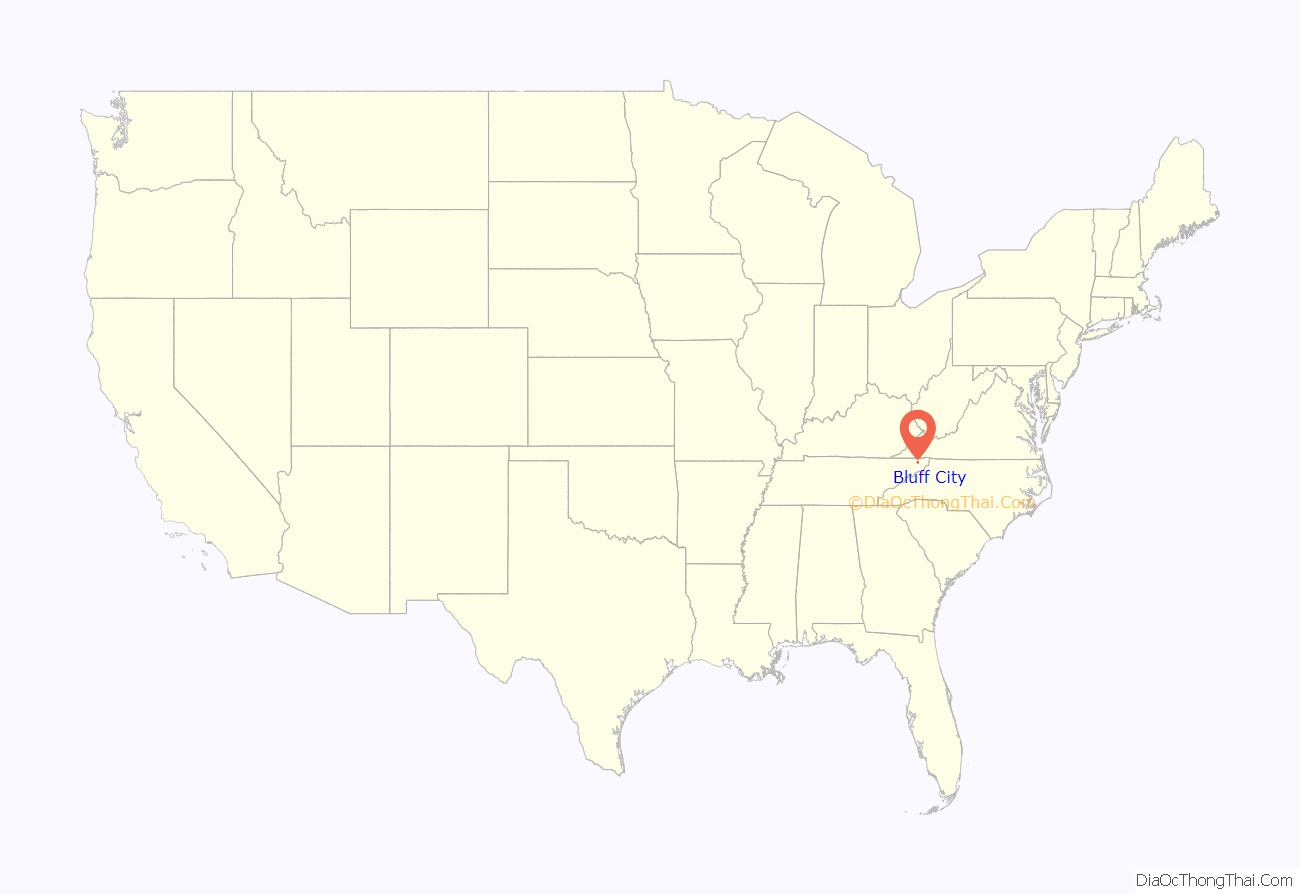
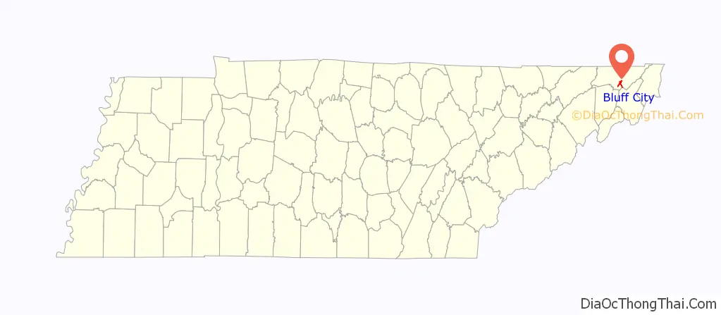
Bluff City location map. Where is Bluff City city?
History
Bluff City underwent several name changes before incorporating on July 1, 1887 under its present name. The town was originally known as Choate’s Ford, and later took the name Middletown. After the East Tennessee, Virginia and Georgia Railroad was built, crossing the Holston River at the town site, the name Union was adopted. During the Civil War it was called Zollicoffer after Confederate General Felix Zollicoffer, but became Union again at the end of the war and until 1887.
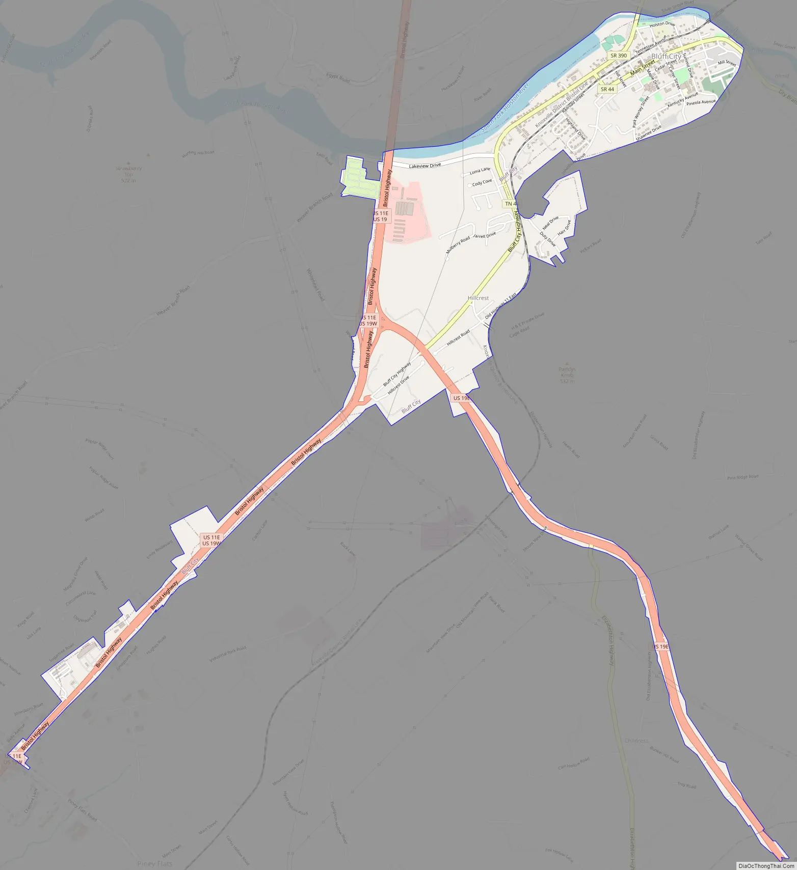
Bluff City Road Map
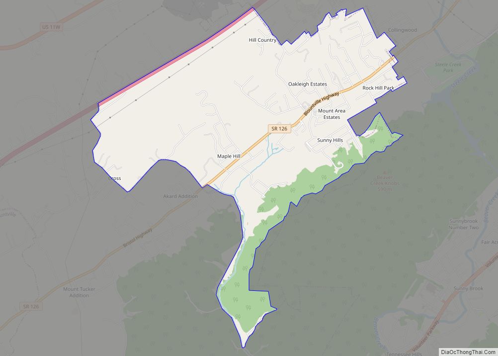
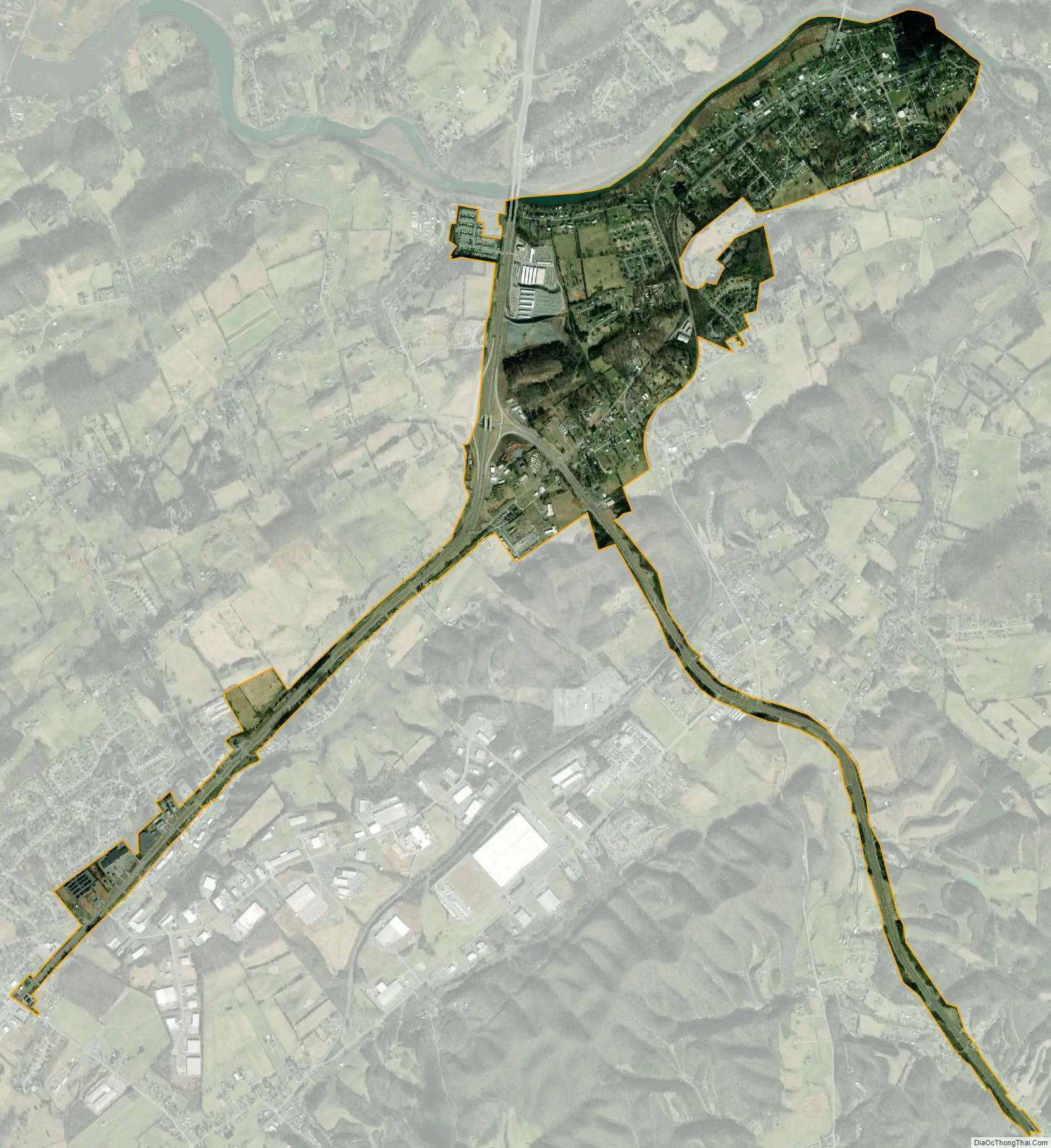
Bluff City city Satellite Map
Geography
Bluff City is located at 36°27′48″N 82°16′30″W / 36.46333°N 82.27500°W / 36.46333; -82.27500 (36.463352, -82.275049).
According to the United States Census Bureau, the city has a total area of 1.6 square miles (4.1 km), of which 1.5 square miles (3.9 km) is land and 0.1 square miles (0.26 km) (3.21%) is water.
See also
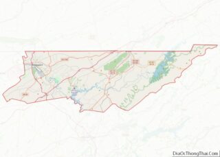
Map of Tennessee State and its subdivision:- Anderson
- Bedford
- Benton
- Bledsoe
- Blount
- Bradley
- Campbell
- Cannon
- Carroll
- Carter
- Cheatham
- Chester
- Claiborne
- Clay
- Cocke
- Coffee
- Crockett
- Cumberland
- Davidson
- Decatur
- DeKalb
- Dickson
- Dyer
- Fayette
- Fentress
- Franklin
- Gibson
- Giles
- Grainger
- Greene
- Grundy
- Hamblen
- Hamilton
- Hancock
- Hardeman
- Hardin
- Hawkins
- Haywood
- Henderson
- Henry
- Hickman
- Houston
- Humphreys
- Jackson
- Jefferson
- Johnson
- Knox
- Lake
- Lauderdale
- Lawrence
- Lewis
- Lincoln
- Loudon
- Macon
- Madison
- Marion
- Marshall
- Maury
- McMinn
- McNairy
- Meigs
- Monroe
- Montgomery
- Moore
- Morgan
- Obion
- Overton
- Perry
- Pickett
- Polk
- Putnam
- Rhea
- Roane
- Robertson
- Rutherford
- Scott
- Sequatchie
- Sevier
- Shelby
- Smith
- Stewart
- Sullivan
- Sumner
- Tipton
- Trousdale
- Unicoi
- Union
- Van Buren
- Warren
- Washington
- Wayne
- Weakley
- White
- Williamson
- Wilson
- Alabama
- Alaska
- Arizona
- Arkansas
- California
- Colorado
- Connecticut
- Delaware
- District of Columbia
- Florida
- Georgia
- Hawaii
- Idaho
- Illinois
- Indiana
- Iowa
- Kansas
- Kentucky
- Louisiana
- Maine
- Maryland
- Massachusetts
- Michigan
- Minnesota
- Mississippi
- Missouri
- Montana
- Nebraska
- Nevada
- New Hampshire
- New Jersey
- New Mexico
- New York
- North Carolina
- North Dakota
- Ohio
- Oklahoma
- Oregon
- Pennsylvania
- Rhode Island
- South Carolina
- South Dakota
- Tennessee
- Texas
- Utah
- Vermont
- Virginia
- Washington
- West Virginia
- Wisconsin
- Wyoming