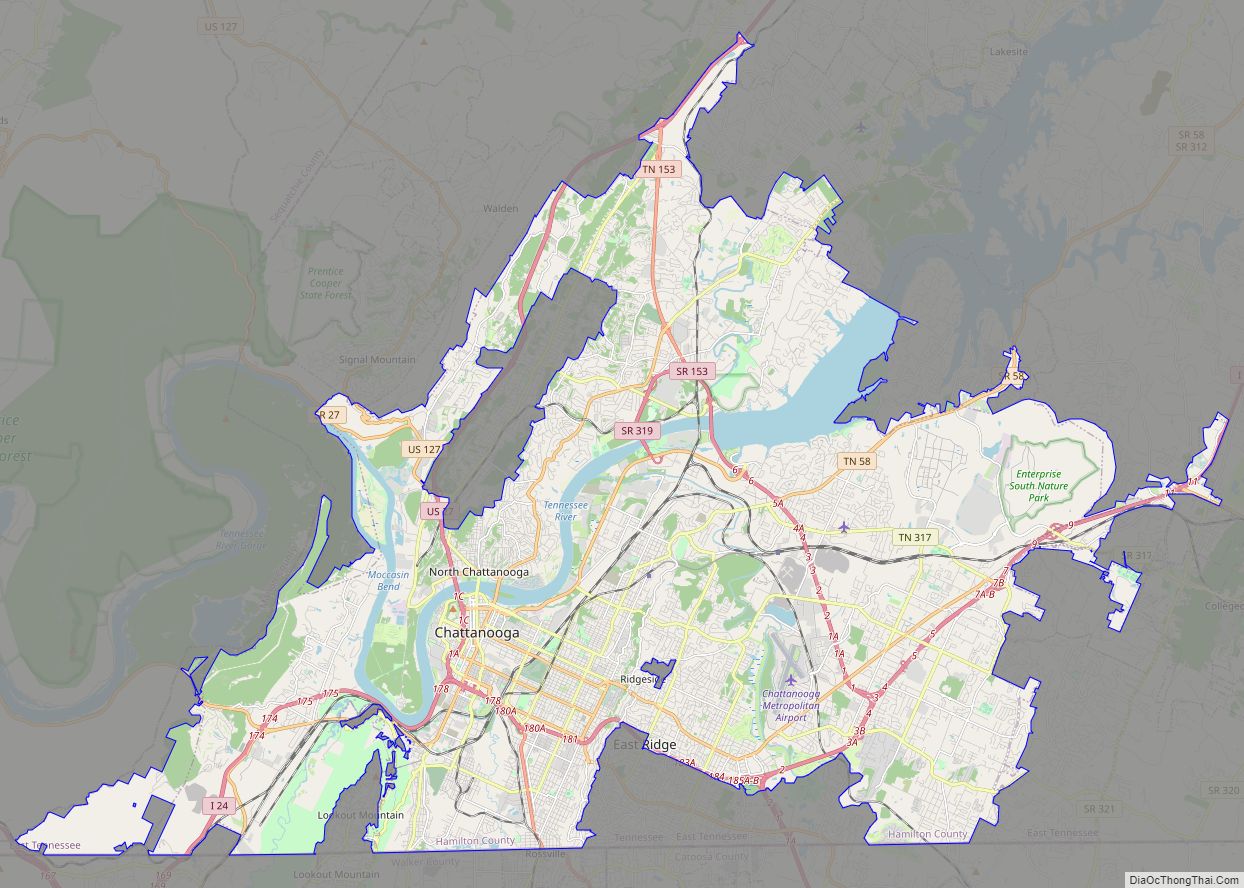
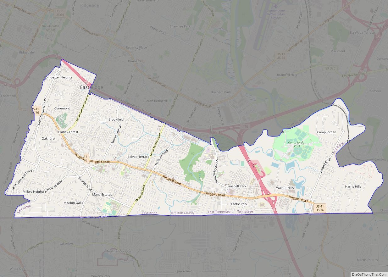
East Ridge is a city in Hamilton County, Tennessee, United States. As of the 2020 census, the city population was 22,167. East Ridge is bordered by Chattanooga to the west, north, and east, and the Georgia state line to the south. It is part of the Chattanooga, TN–GA Metropolitan Statistical Area. The name of the city comes from its location due east of Missionary Ridge. The Bachman Tubes beneath Missionary Ridge link East Ridge with downtown Chattanooga.
| Name: | East Ridge city |
|---|---|
| LSAD Code: | 25 |
| LSAD Description: | city (suffix) |
| State: | Tennessee |
| County: | Hamilton County |
| Elevation: | 778 ft (237 m) |
| Total Area: | 8.28 sq mi (21.45 km²) |
| Land Area: | 8.28 sq mi (21.45 km²) |
| Water Area: | 0.00 sq mi (0.00 km²) |
| Total Population: | 22,167 |
| Population Density: | 2,676.53/sq mi (1,033.42/km²) |
| ZIP code: | 37412 |
| Area code: | 423 |
| FIPS code: | 4722720 |
| GNISfeature ID: | 1283400 |
| Website: | www.eastridgetn.gov |
Online Interactive Map
Click on ![]() to view map in "full screen" mode.
to view map in "full screen" mode.
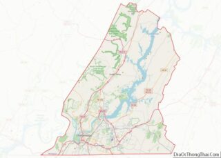
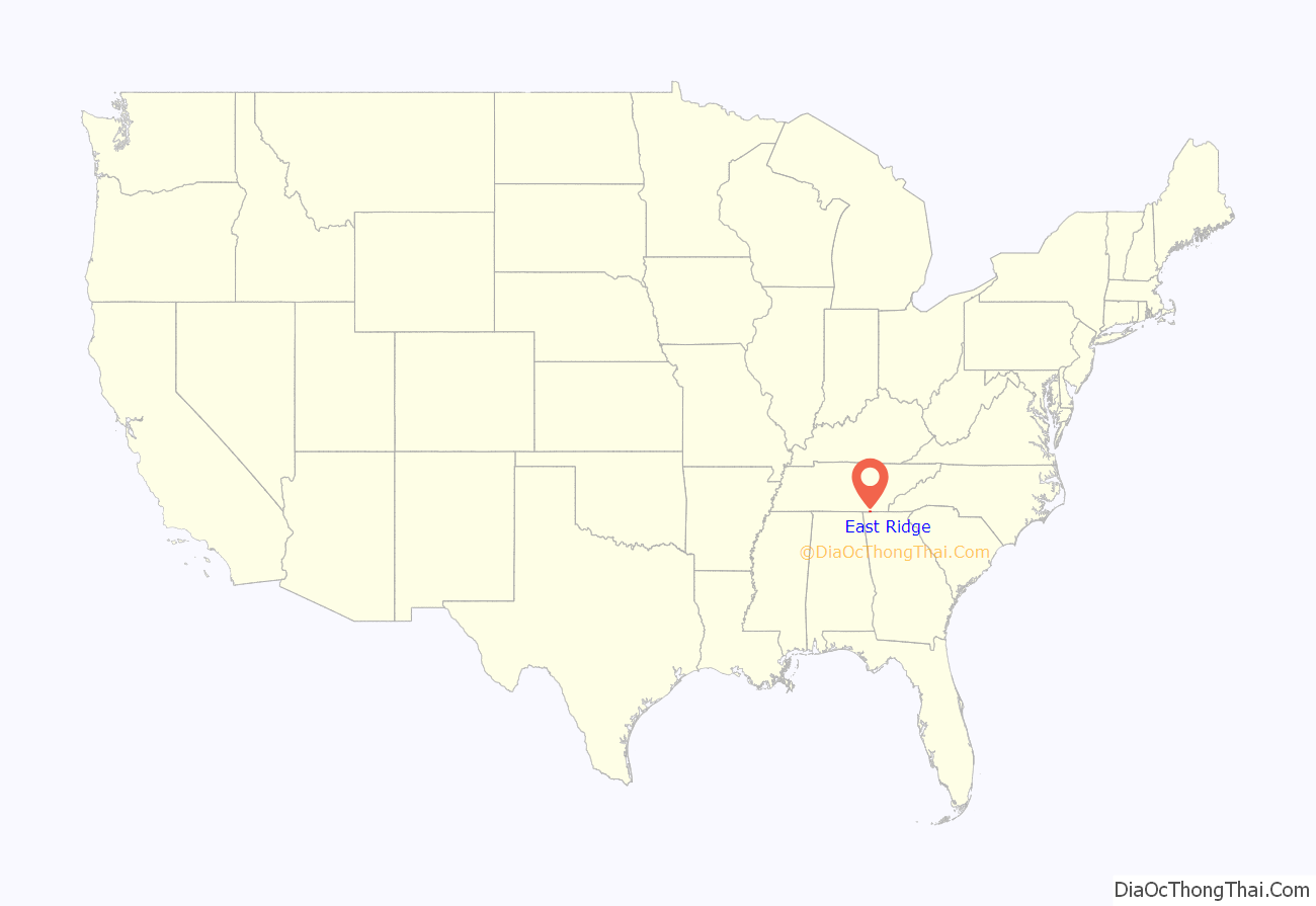
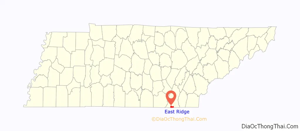
East Ridge location map. Where is East Ridge city?
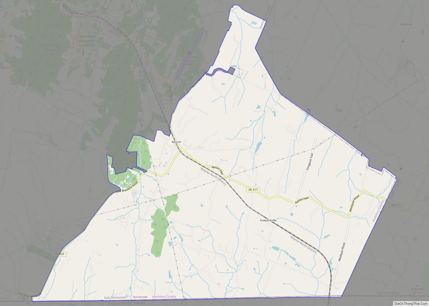
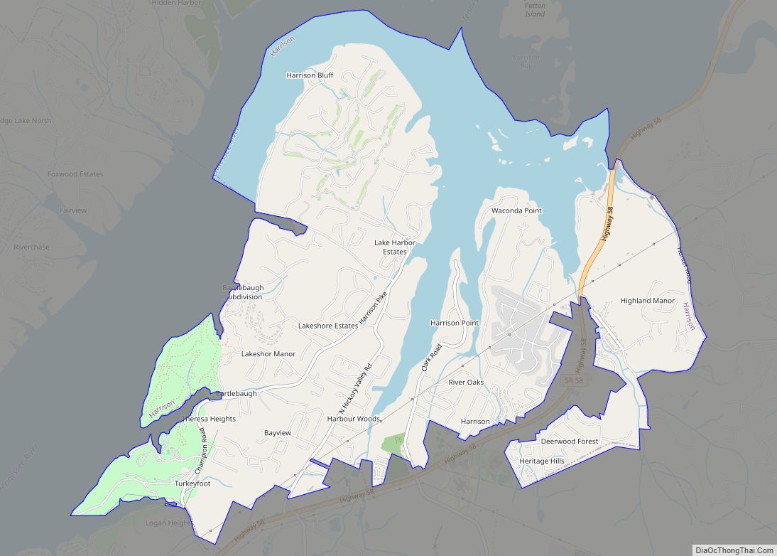
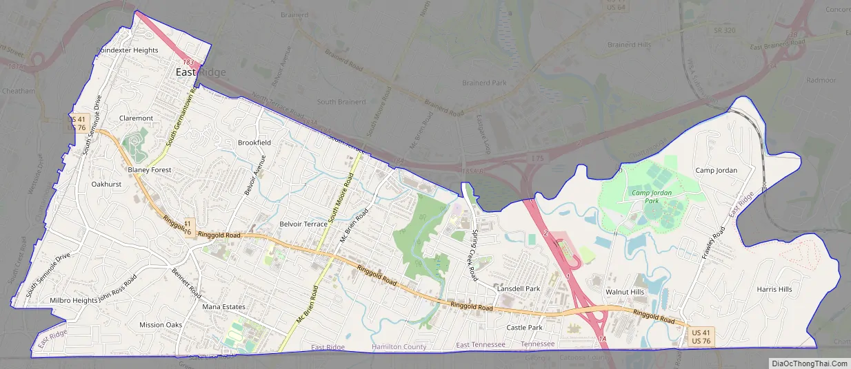
East Ridge Road Map
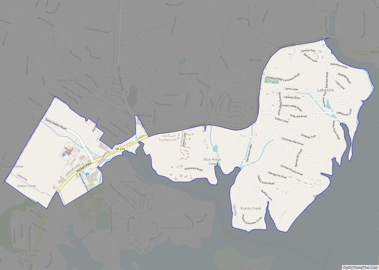
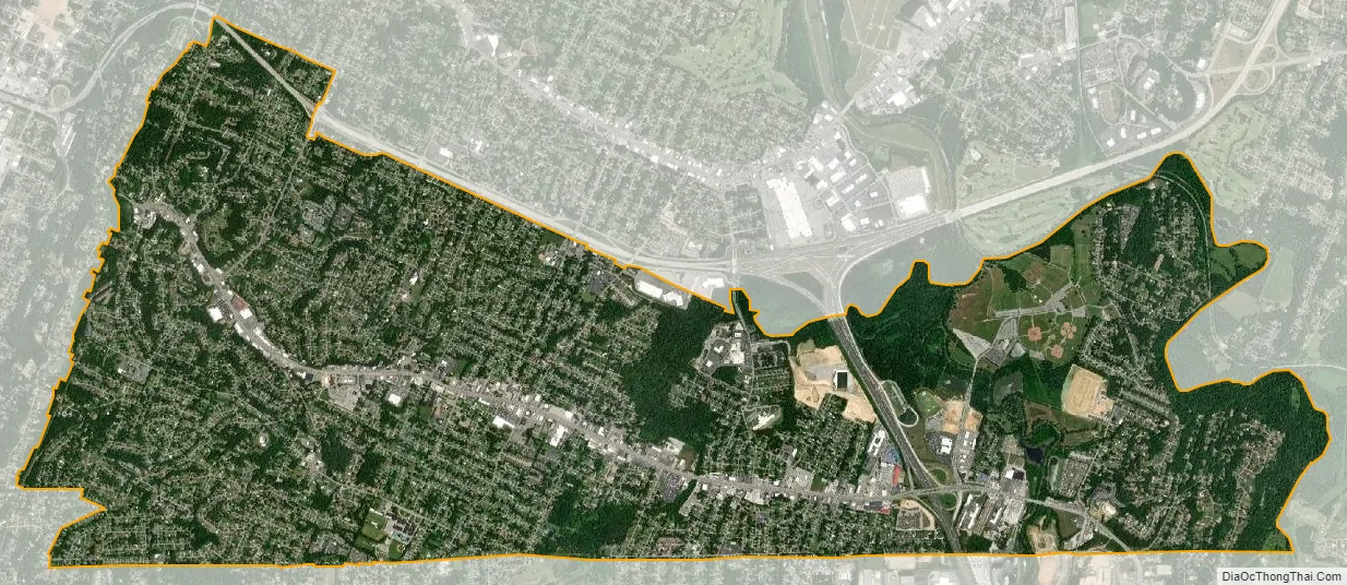
East Ridge city Satellite Map
Geography
East Ridge is located at 34°59′48″N 85°14′15″W / 34.99667°N 85.23750°W / 34.99667; -85.23750 (34.996674, -85.237482).
According to the United States Census Bureau, the city has a total area of 8.3 square miles (21 km), all land.
See also
Map of Tennessee State and its subdivision:- Anderson
- Bedford
- Benton
- Bledsoe
- Blount
- Bradley
- Campbell
- Cannon
- Carroll
- Carter
- Cheatham
- Chester
- Claiborne
- Clay
- Cocke
- Coffee
- Crockett
- Cumberland
- Davidson
- Decatur
- DeKalb
- Dickson
- Dyer
- Fayette
- Fentress
- Franklin
- Gibson
- Giles
- Grainger
- Greene
- Grundy
- Hamblen
- Hamilton
- Hancock
- Hardeman
- Hardin
- Hawkins
- Haywood
- Henderson
- Henry
- Hickman
- Houston
- Humphreys
- Jackson
- Jefferson
- Johnson
- Knox
- Lake
- Lauderdale
- Lawrence
- Lewis
- Lincoln
- Loudon
- Macon
- Madison
- Marion
- Marshall
- Maury
- McMinn
- McNairy
- Meigs
- Monroe
- Montgomery
- Moore
- Morgan
- Obion
- Overton
- Perry
- Pickett
- Polk
- Putnam
- Rhea
- Roane
- Robertson
- Rutherford
- Scott
- Sequatchie
- Sevier
- Shelby
- Smith
- Stewart
- Sullivan
- Sumner
- Tipton
- Trousdale
- Unicoi
- Union
- Van Buren
- Warren
- Washington
- Wayne
- Weakley
- White
- Williamson
- Wilson
- Alabama
- Alaska
- Arizona
- Arkansas
- California
- Colorado
- Connecticut
- Delaware
- District of Columbia
- Florida
- Georgia
- Hawaii
- Idaho
- Illinois
- Indiana
- Iowa
- Kansas
- Kentucky
- Louisiana
- Maine
- Maryland
- Massachusetts
- Michigan
- Minnesota
- Mississippi
- Missouri
- Montana
- Nebraska
- Nevada
- New Hampshire
- New Jersey
- New Mexico
- New York
- North Carolina
- North Dakota
- Ohio
- Oklahoma
- Oregon
- Pennsylvania
- Rhode Island
- South Carolina
- South Dakota
- Tennessee
- Texas
- Utah
- Vermont
- Virginia
- Washington
- West Virginia
- Wisconsin
- Wyoming