Apison is an unincorporated community and census-designated place (CDP) in Hamilton County, Tennessee, United States. It is a rural area east of the city of Chattanooga, and borders Ooltewah, Collegedale, and north Georgia to the south. It is part of the Chattanooga, TN–GA Metropolitan Statistical Area. As of the 2020 census, its population was 4,428.
Apison is fifteen miles from Enterprise South Industrial Park, the location of Volkswagen North America.
| Name: | Apison CDP |
|---|---|
| LSAD Code: | 57 |
| LSAD Description: | CDP (suffix) |
| State: | Tennessee |
| County: | Hamilton County |
| Elevation: | 860 ft (260 m) |
| Total Area: | 16.19 sq mi (41.93 km²) |
| Land Area: | 16.18 sq mi (41.91 km²) |
| Water Area: | 0.01 sq mi (0.01 km²) |
| Total Population: | 4,428 |
| Population Density: | 273.64/sq mi (105.65/km²) |
| ZIP code: | 37302 |
| Area code: | 423 |
| FIPS code: | 4701480 |
| GNISfeature ID: | 1275817 |
Online Interactive Map
Click on ![]() to view map in "full screen" mode.
to view map in "full screen" mode.
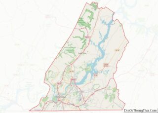
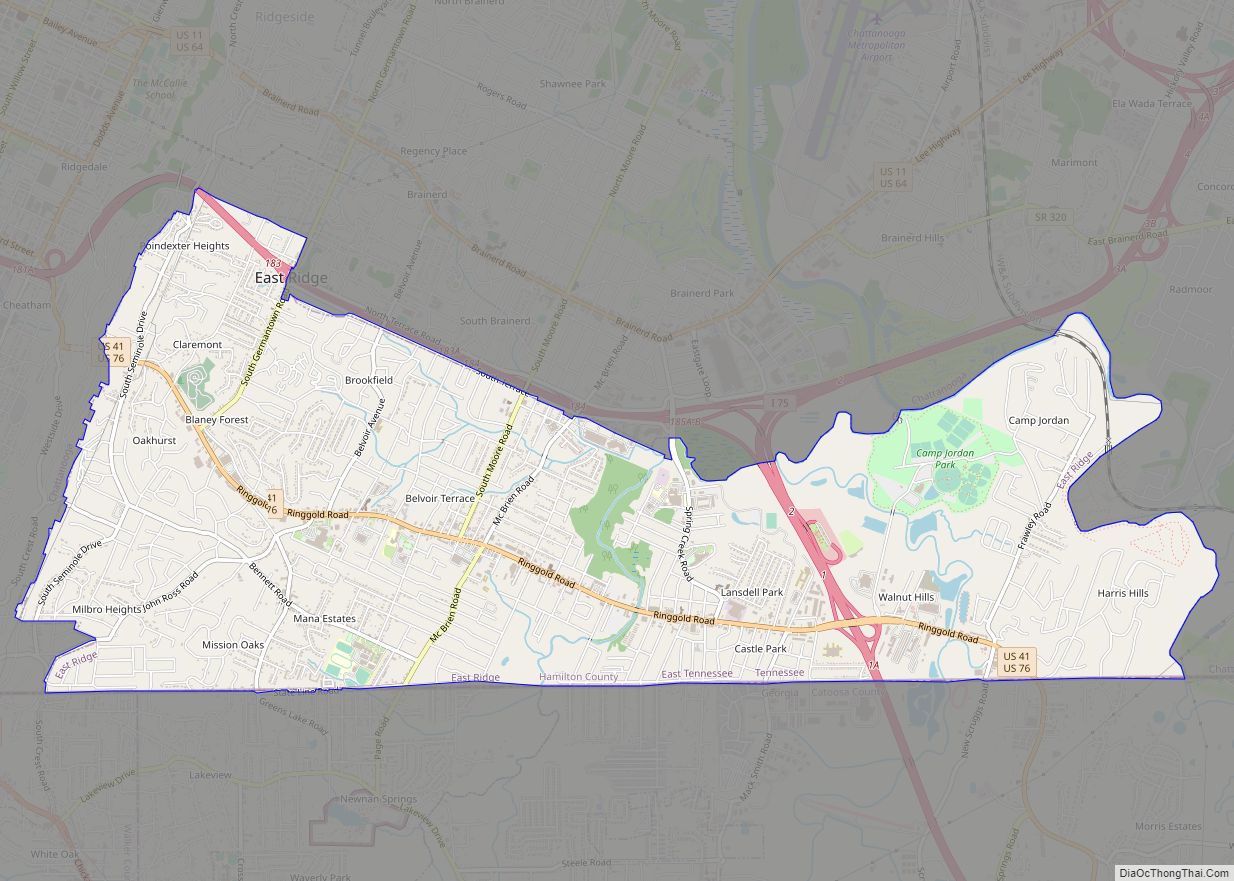
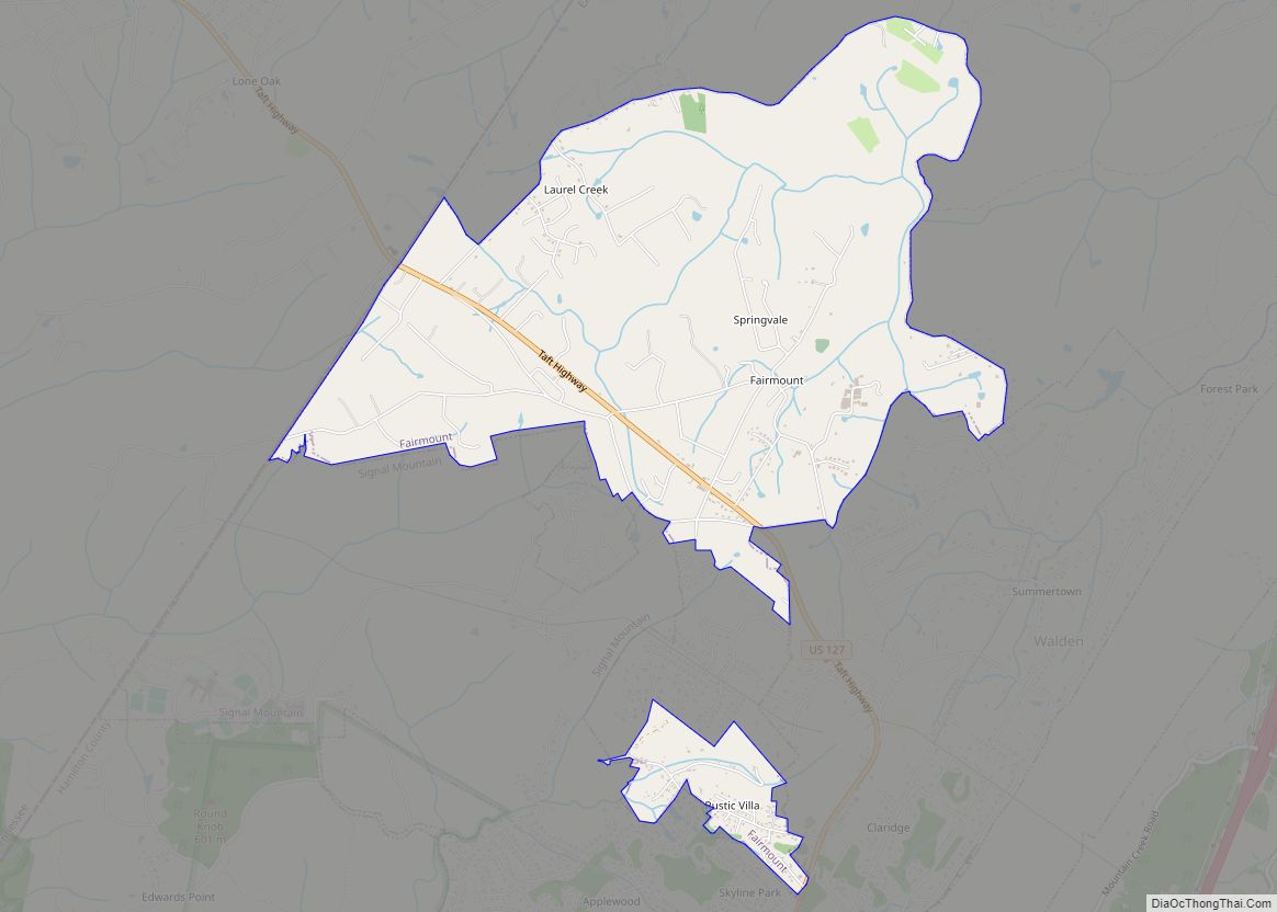
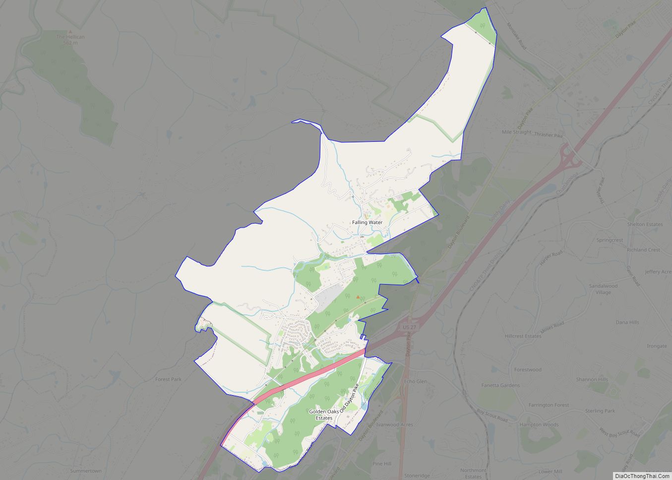
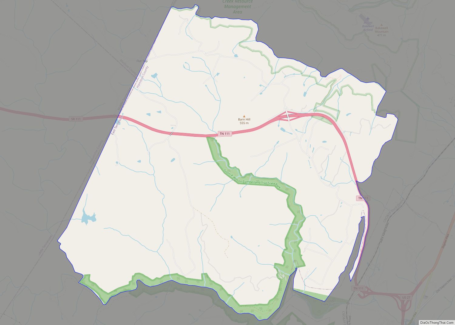
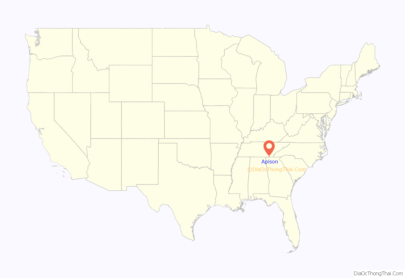
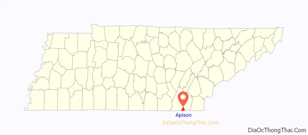
Apison location map. Where is Apison CDP?
History
In 1881 the railroad came through a small settlement, now known as Apison, that had previously had its mail delivered by horse and buggy. The town then was known as O’Brian that was assigned by the railroad officials. The name was later changed because of another Tennessee town already having the same name. Due to the large deposits of Apison shale rock found along the railroad tracks, the town was renamed to its current name.
In 2001, the old Apison Elementary School was turned into a Tres Dias retreat center.
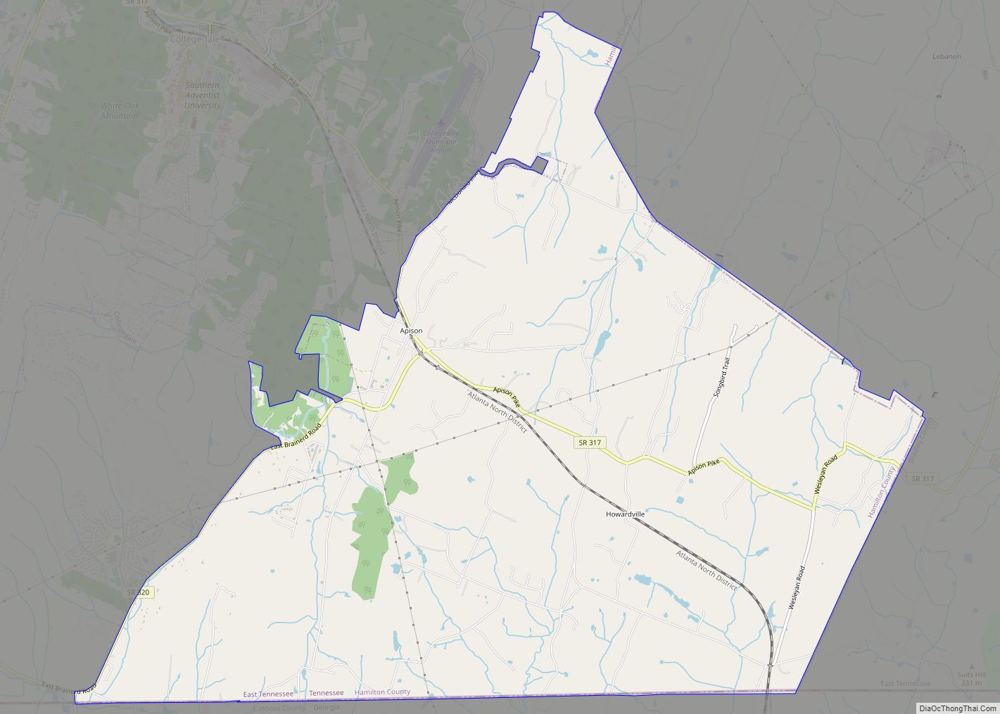
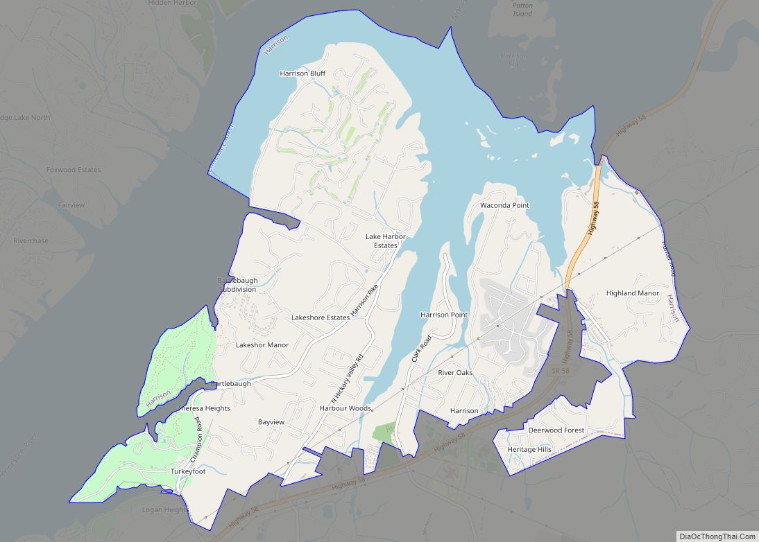
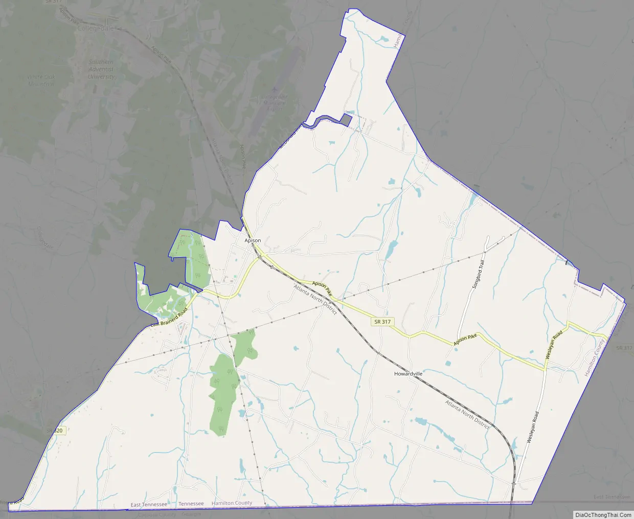
Apison Road Map
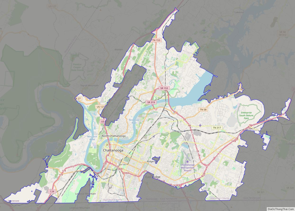
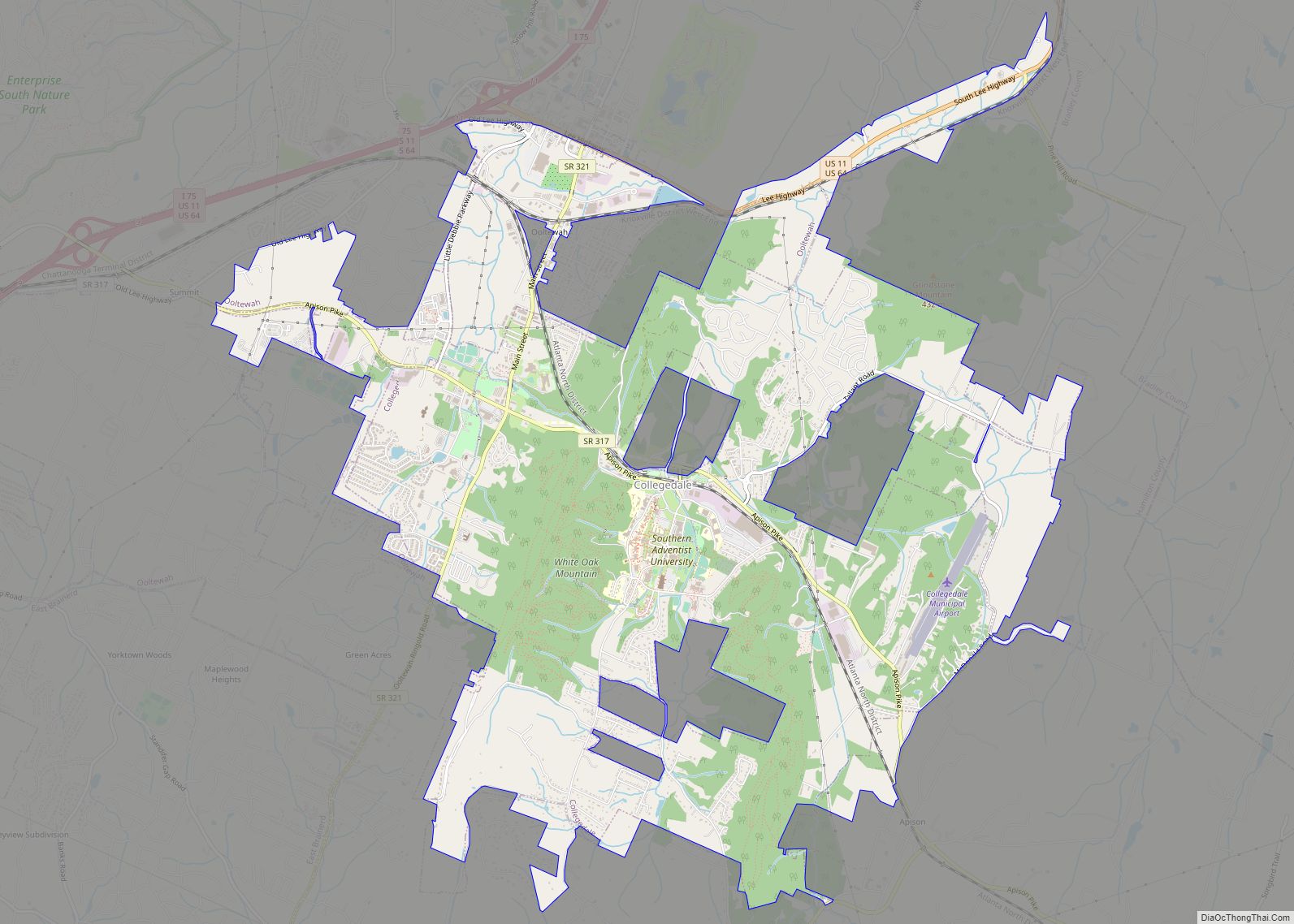
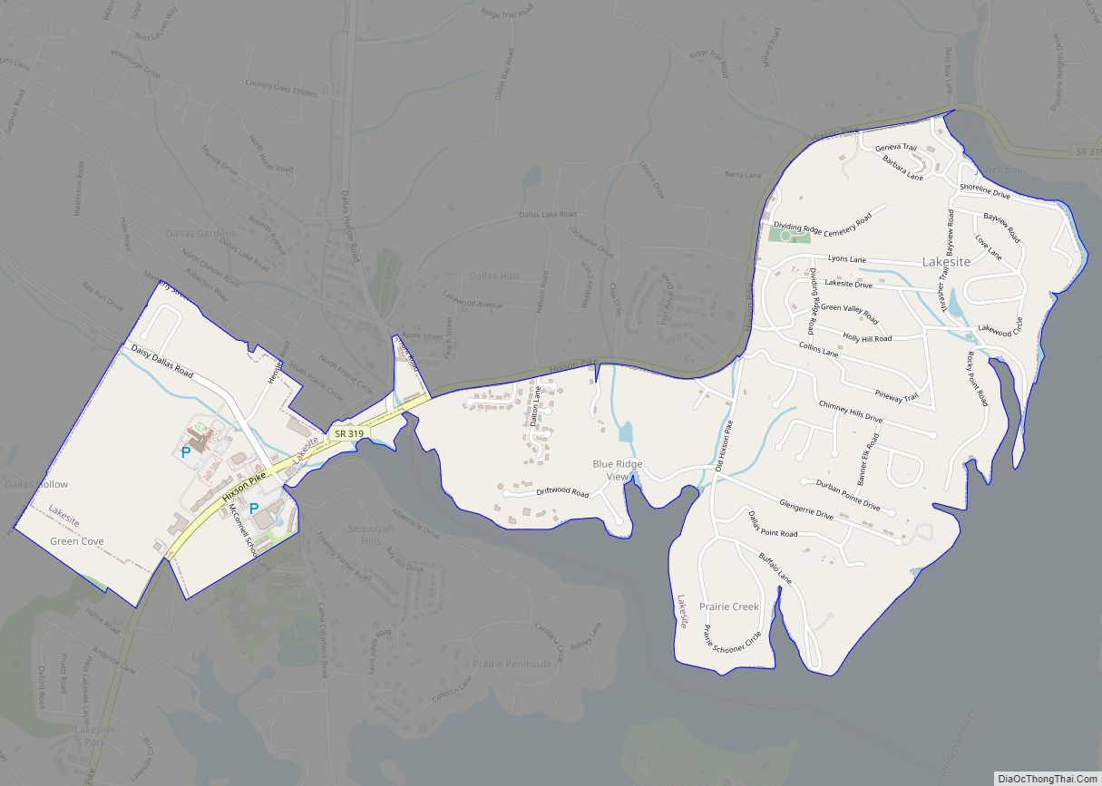
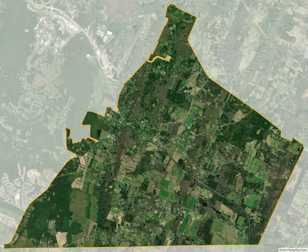
Apison city Satellite Map
See also
Map of Tennessee State and its subdivision:- Anderson
- Bedford
- Benton
- Bledsoe
- Blount
- Bradley
- Campbell
- Cannon
- Carroll
- Carter
- Cheatham
- Chester
- Claiborne
- Clay
- Cocke
- Coffee
- Crockett
- Cumberland
- Davidson
- Decatur
- DeKalb
- Dickson
- Dyer
- Fayette
- Fentress
- Franklin
- Gibson
- Giles
- Grainger
- Greene
- Grundy
- Hamblen
- Hamilton
- Hancock
- Hardeman
- Hardin
- Hawkins
- Haywood
- Henderson
- Henry
- Hickman
- Houston
- Humphreys
- Jackson
- Jefferson
- Johnson
- Knox
- Lake
- Lauderdale
- Lawrence
- Lewis
- Lincoln
- Loudon
- Macon
- Madison
- Marion
- Marshall
- Maury
- McMinn
- McNairy
- Meigs
- Monroe
- Montgomery
- Moore
- Morgan
- Obion
- Overton
- Perry
- Pickett
- Polk
- Putnam
- Rhea
- Roane
- Robertson
- Rutherford
- Scott
- Sequatchie
- Sevier
- Shelby
- Smith
- Stewart
- Sullivan
- Sumner
- Tipton
- Trousdale
- Unicoi
- Union
- Van Buren
- Warren
- Washington
- Wayne
- Weakley
- White
- Williamson
- Wilson
- Alabama
- Alaska
- Arizona
- Arkansas
- California
- Colorado
- Connecticut
- Delaware
- District of Columbia
- Florida
- Georgia
- Hawaii
- Idaho
- Illinois
- Indiana
- Iowa
- Kansas
- Kentucky
- Louisiana
- Maine
- Maryland
- Massachusetts
- Michigan
- Minnesota
- Mississippi
- Missouri
- Montana
- Nebraska
- Nevada
- New Hampshire
- New Jersey
- New Mexico
- New York
- North Carolina
- North Dakota
- Ohio
- Oklahoma
- Oregon
- Pennsylvania
- Rhode Island
- South Carolina
- South Dakota
- Tennessee
- Texas
- Utah
- Vermont
- Virginia
- Washington
- West Virginia
- Wisconsin
- Wyoming