Englewood is a town in McMinn County, Tennessee, United States. The population was 1,550 in 2020.
| Name: | Englewood town |
|---|---|
| LSAD Code: | 43 |
| LSAD Description: | town (suffix) |
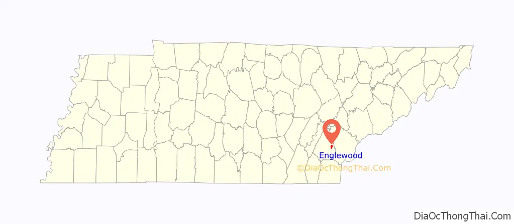
| State: | Tennessee |
| County: | McMinn County |
| Incorporated: | 1919 |
| Elevation: | 860 ft (262 m) |
| Total Area: | 1.91 sq mi (4.95 km²) |
| Land Area: | 1.91 sq mi (4.95 km²) |
| Water Area: | 0.00 sq mi (0.00 km²) |
| Total Population: | 1,550 |
| Population Density: | 776.44/sq mi (299.77/km²) |
| ZIP code: | 37329 |
| Area code: | 423 |
| FIPS code: | 4724040 |
| GNISfeature ID: | 1283789 |
| Website: | www.townofenglewood.com |
Online Interactive Map
Click on ![]() to view map in "full screen" mode.
to view map in "full screen" mode.
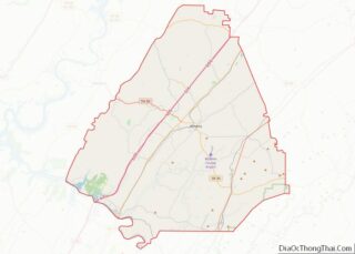
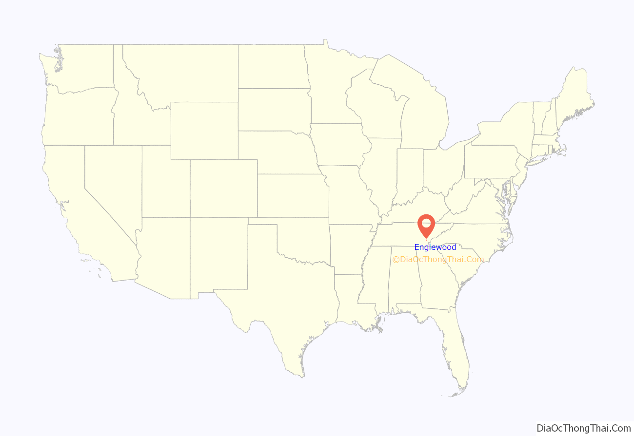
Englewood location map. Where is Englewood town?
History
In 1857, businessman John Dixon established the Eureka Cotton Mills near what is now Englewood where they used regionally-grown cotton to produce yarn. The small mill community that developed around the mill became known as Eureka Mills. By 1875, Elisha Brient, a partner of Dixon, and several of Brient’s relatives had acquired Eureka Cotton Mills, and in 1894 the Brients renamed the town of Eureka Mills “Englewood”. The name was suggested by Nancy Chestnutt, a sister-in-law of James Brient, who thought the area resembled the English forests of the Robin Hood tales she had read about as a child.
In the late 19th century, the Brients began building shops and gristmills approximately 2 miles (3.2 km) northeast of their milltown at a railroad stop called Tellico Junction, where the Atlanta, Knoxville & Northern Railroad (which roughly followed modern U.S. 411) intersected the Tellico Railroad (which connected Athens and Tellico Plains). The Brients also expanded their Englewood operation, establishing a flour and feed mill in partnership with J.W. Chestnutt. In 1907, the entire Englewood operation was moved to Tellico Junction to take advantage of the railroad. The following year, Tellico Junction was renamed Englewood and the original milltown subsequently became known as “Old Englewood”.
In 1917, Chestnutt formed the Englewood Manufacturing Company, which built a hosiery mill at Englewood. Englewood grew to include housing for 300 workers, and had its own company stores, sawmill, and school. The tenement section associated with the Eureka Cotton Mill became known as “Yellow Top”, the section associated with the hosiery mill became known as “Socktown”, and the section associated with the flour mill was called “Onion Hill”. Women worked at the mills in large numbers, mainly as weavers, while most supervisory positions were held by men.
During the Great Depression, the Englewood mills were forced to close, and many of the town’s residents joined various federal work programs. During World War II, the Eureka Cotton Mill was refurbished by the United National Clothing Center, which made clothing for donations to wartorn countries. Several mills and factories established operations at Englewood over subsequent decades, but most had shut down by the late 1990s. The last of the Englewood mills, Allied Hosiery, closed its doors in 2008. The Englewood Textile Museum, near the corner of Niota Street and Main Street, interprets the town’s manufacturing history.
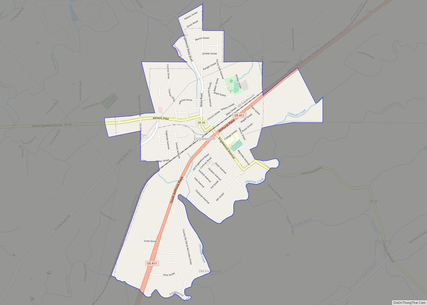
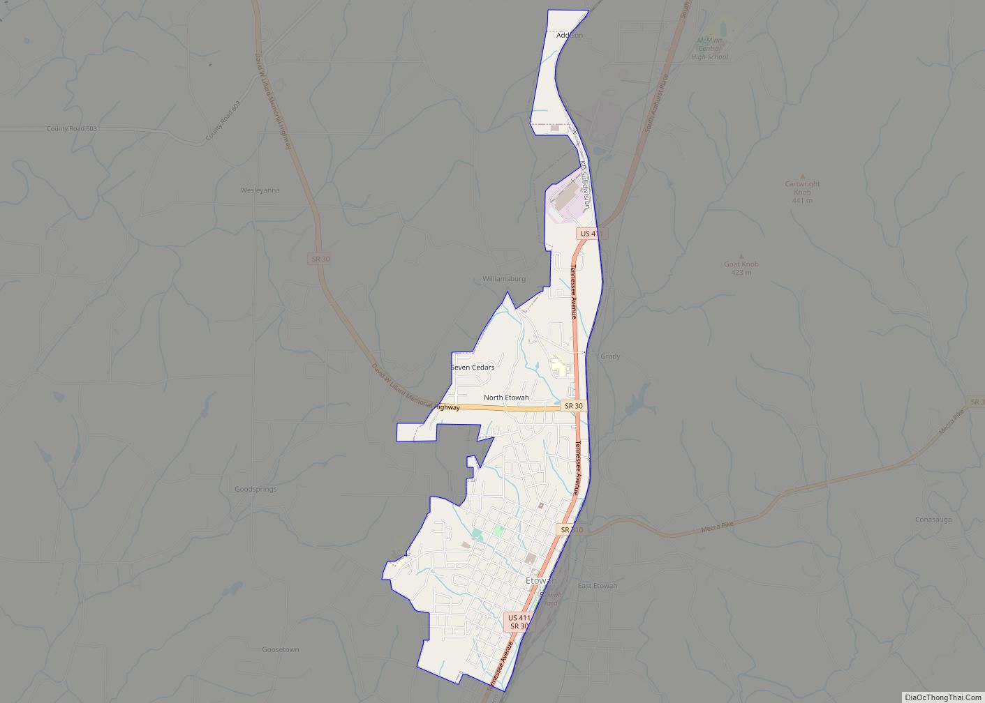
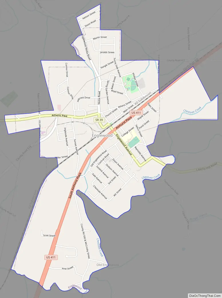
Englewood Road Map
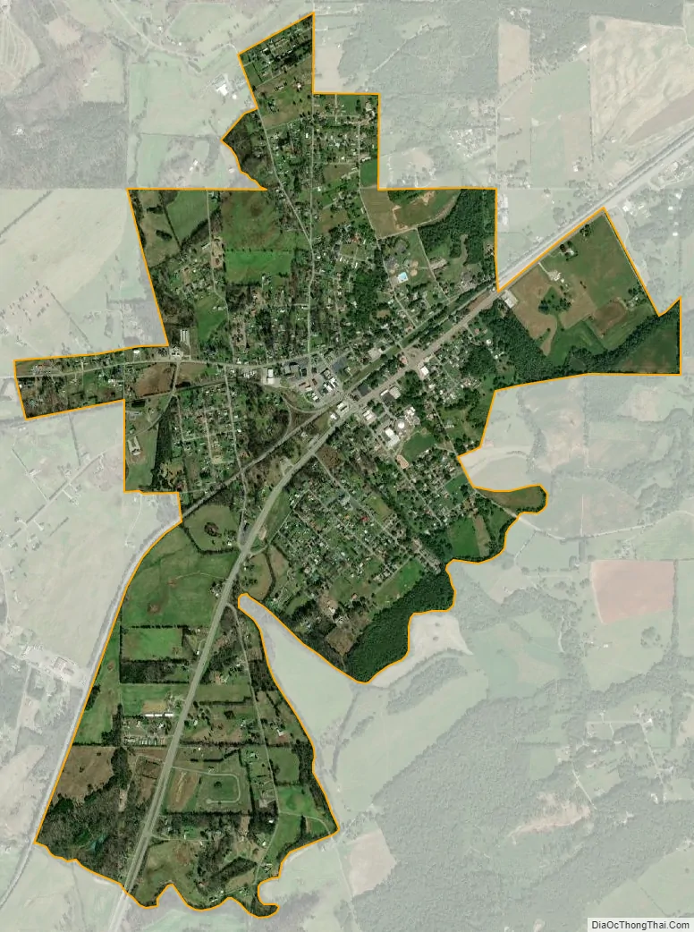
Englewood city Satellite Map
Geography
According to the United States Census Bureau, the town has a total area of 1.7 square miles (4.4 km), all land. The town is situated in the Chestuee Creek Valley, a broad valley carved by a tributary of the Hiwassee River, which passes a few miles to the southwest. The Unicoi Mountains, part of the greater Blue Ridge Range, dominate the horizon to the south. U.S. Route 411 connects Englewood to Madisonville to the northeast and Etowah to the south. Tennessee State Highway 39 (South Niota Road and West Athens Street) connects Englewood to Athens, opposite the hills to the west and as Tellico Street, connects Englewood to Tellico Plains to the east.
See also
Map of Tennessee State and its subdivision:- Anderson
- Bedford
- Benton
- Bledsoe
- Blount
- Bradley
- Campbell
- Cannon
- Carroll
- Carter
- Cheatham
- Chester
- Claiborne
- Clay
- Cocke
- Coffee
- Crockett
- Cumberland
- Davidson
- Decatur
- DeKalb
- Dickson
- Dyer
- Fayette
- Fentress
- Franklin
- Gibson
- Giles
- Grainger
- Greene
- Grundy
- Hamblen
- Hamilton
- Hancock
- Hardeman
- Hardin
- Hawkins
- Haywood
- Henderson
- Henry
- Hickman
- Houston
- Humphreys
- Jackson
- Jefferson
- Johnson
- Knox
- Lake
- Lauderdale
- Lawrence
- Lewis
- Lincoln
- Loudon
- Macon
- Madison
- Marion
- Marshall
- Maury
- McMinn
- McNairy
- Meigs
- Monroe
- Montgomery
- Moore
- Morgan
- Obion
- Overton
- Perry
- Pickett
- Polk
- Putnam
- Rhea
- Roane
- Robertson
- Rutherford
- Scott
- Sequatchie
- Sevier
- Shelby
- Smith
- Stewart
- Sullivan
- Sumner
- Tipton
- Trousdale
- Unicoi
- Union
- Van Buren
- Warren
- Washington
- Wayne
- Weakley
- White
- Williamson
- Wilson
- Alabama
- Alaska
- Arizona
- Arkansas
- California
- Colorado
- Connecticut
- Delaware
- District of Columbia
- Florida
- Georgia
- Hawaii
- Idaho
- Illinois
- Indiana
- Iowa
- Kansas
- Kentucky
- Louisiana
- Maine
- Maryland
- Massachusetts
- Michigan
- Minnesota
- Mississippi
- Missouri
- Montana
- Nebraska
- Nevada
- New Hampshire
- New Jersey
- New Mexico
- New York
- North Carolina
- North Dakota
- Ohio
- Oklahoma
- Oregon
- Pennsylvania
- Rhode Island
- South Carolina
- South Dakota
- Tennessee
- Texas
- Utah
- Vermont
- Virginia
- Washington
- West Virginia
- Wisconsin
- Wyoming