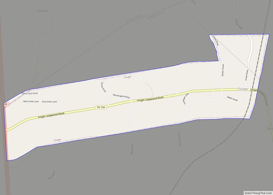
Finger is a town in McNairy and Chester counties, Tennessee. The population was 350 at the 2000 census.
| Name: | Finger city |
|---|---|
| LSAD Code: | 25 |
| LSAD Description: | city (suffix) |
| State: | Tennessee |
| County: | McNairy County |
| Elevation: | 443 ft (135 m) |
| Total Area: | 1.57 sq mi (4.07 km²) |
| Land Area: | 1.57 sq mi (4.07 km²) |
| Water Area: | 0.00 sq mi (0.00 km²) |
| Total Population: | 276 |
| Population Density: | 175.80/sq mi (67.86/km²) |
| ZIP code: | 38334 |
| Area code: | 731 |
| FIPS code: | 4726160 |
| GNISfeature ID: | 1284266 |
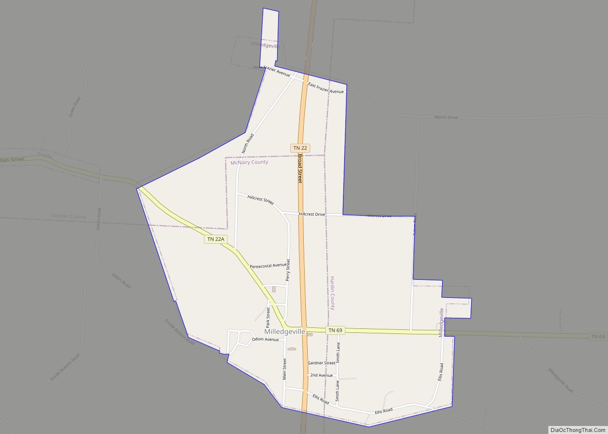
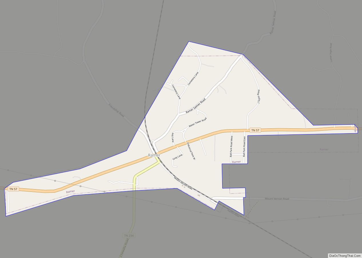
Online Interactive Map
Click on ![]() to view map in "full screen" mode.
to view map in "full screen" mode.
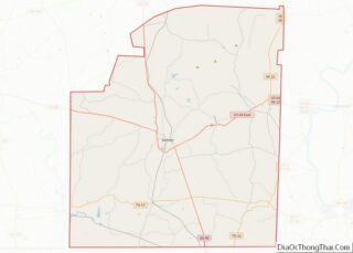
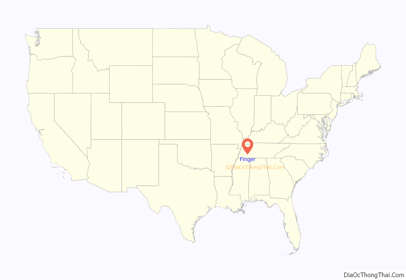
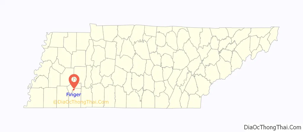
Finger location map. Where is Finger city?
History
The area in and around Finger was settled in the early to mid-1820’s. Originally named McIntyre’s Crossing, after Robert Thompson McIntyre, who was an early political leader and businessman, it was not named Finger until 1895. Between its settlement and 1895, the area progressed and both education and business were important to the area’s inhabitants. During the American Civil War, the area provided many soldiers to the Union cause and the area largely Unionist and Republican in its politics.
In 1895, with the need of a post office to serve its growing population, a new name was needed to satisfy federal postal authorities. Originally, the town was to be named Cash. However, that idea was dropped and, according to the late historian Horry Hodges, the Rev. J.J. Franklin, a resident of nearby McNairy Station, attended the meeting convened to give the town a name. According to Hodges, tempers flared and Franklin derisively and jokingly suggested the name Finger after witnessing several locals engaged in Finger pointing. Other sources suggest the city was named for an early resident, Andrew Jackson Finger (1815–1888). However, this is unlikely as this man was not prominent and resided in the area only a short period. Hodges’ account is given more credibility because he was an active political and educational figure in 1895, the year of the events, as well as a resident of Finger. His is the only contemporary account.
From 1895 until the onset of the Great Depression in 1929-1930, the town continued to grow. At one point, it supported no less than 8 stores, 2 physicians, a funeral parlor, a hotel, 2 banks, a post office, an elementary and high school, cotton gin and numerous other smaller businesses. Its location on the Mobile and Ohio Railroad was one of the reasons for its successful development.
The town is the home of the annual Finger Barbecue, an event held largely since 1895. As of 2021, having been held for than 110 years out of the last 126 years, it is one of the oldest and most enduring events of its kind in the state of Tennessee.
The Finger Diner was the original model for the Hard Rock Cafe chain.
The history of the town and surrounding area have been documented in a 511 page history entitled Let’s Call It Finger: A History of North McNairy County & Finger, Tennessee & Its Surrounding Communities, written by a native and descendant of the McIntyre family, early settlers of the area.
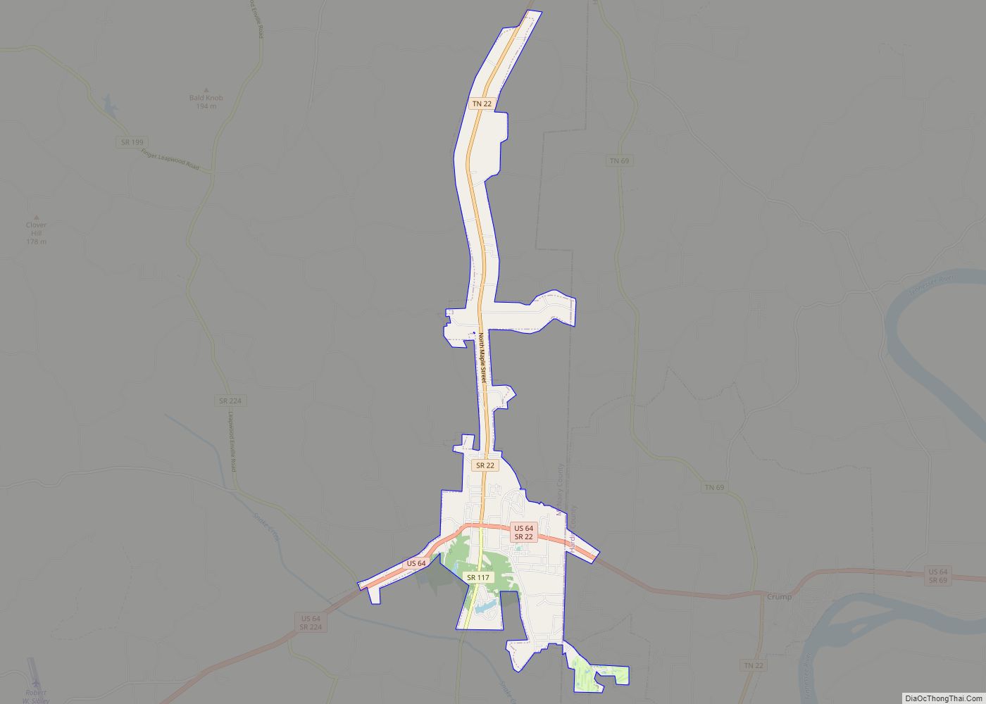
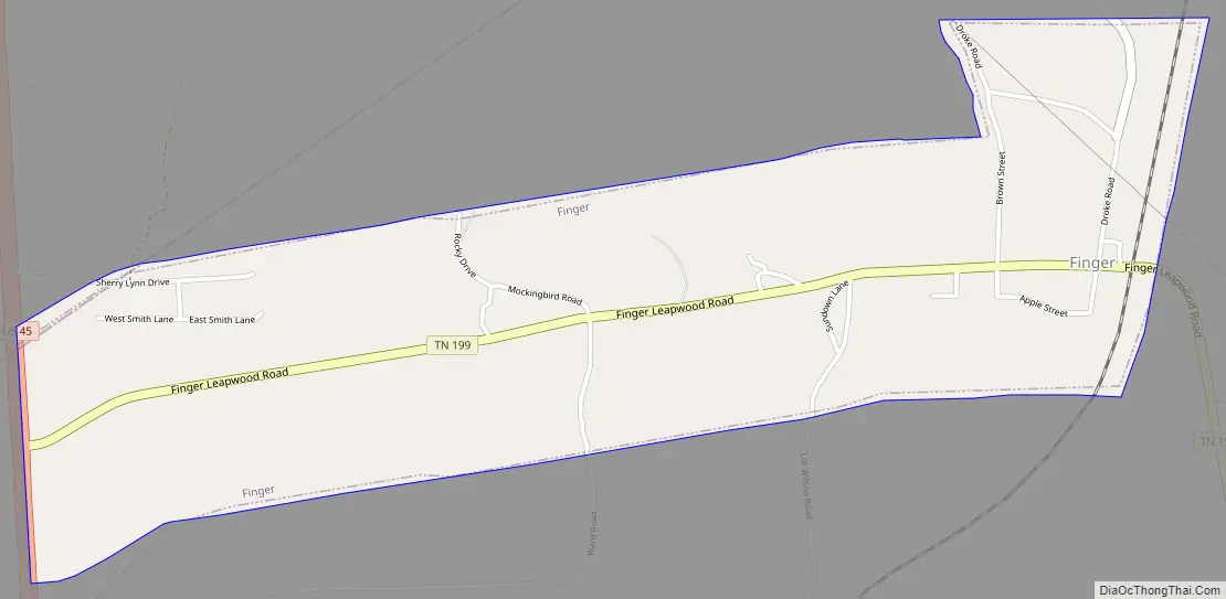
Finger Road Map
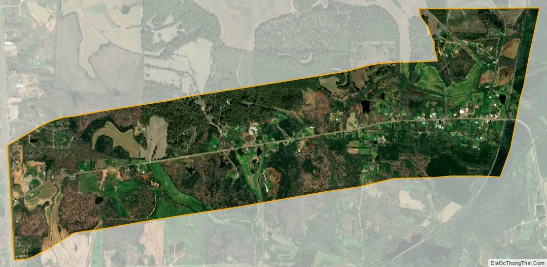
Finger city Satellite Map
Geography
The city lies along State Route 199 at its junction with U.S. Route 45. Henderson lies along US 45 to the north, and Selmer lies to the south.
According to the United States Census Bureau, the city has a total area of 1.5 square miles (3.9 km), all land.
See also
Map of Tennessee State and its subdivision:- Anderson
- Bedford
- Benton
- Bledsoe
- Blount
- Bradley
- Campbell
- Cannon
- Carroll
- Carter
- Cheatham
- Chester
- Claiborne
- Clay
- Cocke
- Coffee
- Crockett
- Cumberland
- Davidson
- Decatur
- DeKalb
- Dickson
- Dyer
- Fayette
- Fentress
- Franklin
- Gibson
- Giles
- Grainger
- Greene
- Grundy
- Hamblen
- Hamilton
- Hancock
- Hardeman
- Hardin
- Hawkins
- Haywood
- Henderson
- Henry
- Hickman
- Houston
- Humphreys
- Jackson
- Jefferson
- Johnson
- Knox
- Lake
- Lauderdale
- Lawrence
- Lewis
- Lincoln
- Loudon
- Macon
- Madison
- Marion
- Marshall
- Maury
- McMinn
- McNairy
- Meigs
- Monroe
- Montgomery
- Moore
- Morgan
- Obion
- Overton
- Perry
- Pickett
- Polk
- Putnam
- Rhea
- Roane
- Robertson
- Rutherford
- Scott
- Sequatchie
- Sevier
- Shelby
- Smith
- Stewart
- Sullivan
- Sumner
- Tipton
- Trousdale
- Unicoi
- Union
- Van Buren
- Warren
- Washington
- Wayne
- Weakley
- White
- Williamson
- Wilson
- Alabama
- Alaska
- Arizona
- Arkansas
- California
- Colorado
- Connecticut
- Delaware
- District of Columbia
- Florida
- Georgia
- Hawaii
- Idaho
- Illinois
- Indiana
- Iowa
- Kansas
- Kentucky
- Louisiana
- Maine
- Maryland
- Massachusetts
- Michigan
- Minnesota
- Mississippi
- Missouri
- Montana
- Nebraska
- Nevada
- New Hampshire
- New Jersey
- New Mexico
- New York
- North Carolina
- North Dakota
- Ohio
- Oklahoma
- Oregon
- Pennsylvania
- Rhode Island
- South Carolina
- South Dakota
- Tennessee
- Texas
- Utah
- Vermont
- Virginia
- Washington
- West Virginia
- Wisconsin
- Wyoming