Selmer is a town in and the county seat of McNairy County, Tennessee, in the southwestern part of the state. The population was 4,396 at the 2010 census and estimated at 4,400 at the 2018 census. It is named after Selma, Alabama.
Buford Pusser served as the sheriff of McNairy County from 1964 to 1970.
| Name: | Selmer town |
|---|---|
| LSAD Code: | 43 |
| LSAD Description: | town (suffix) |
| State: | Tennessee |
| County: | McNairy County |
| Incorporated: | 1901 |
| Elevation: | 449 ft (137 m) |
| Total Area: | 9.57 sq mi (24.79 km²) |
| Land Area: | 9.55 sq mi (24.73 km²) |
| Water Area: | 0.02 sq mi (0.05 km²) |
| Total Population: | 4,446 |
| Population Density: | 465.55/sq mi (179.76/km²) |
| ZIP code: | 38375 |
| Area code: | 731 |
| FIPS code: | 4766940 |
| GNISfeature ID: | 1301051 |
| Website: | townofselmer.com |
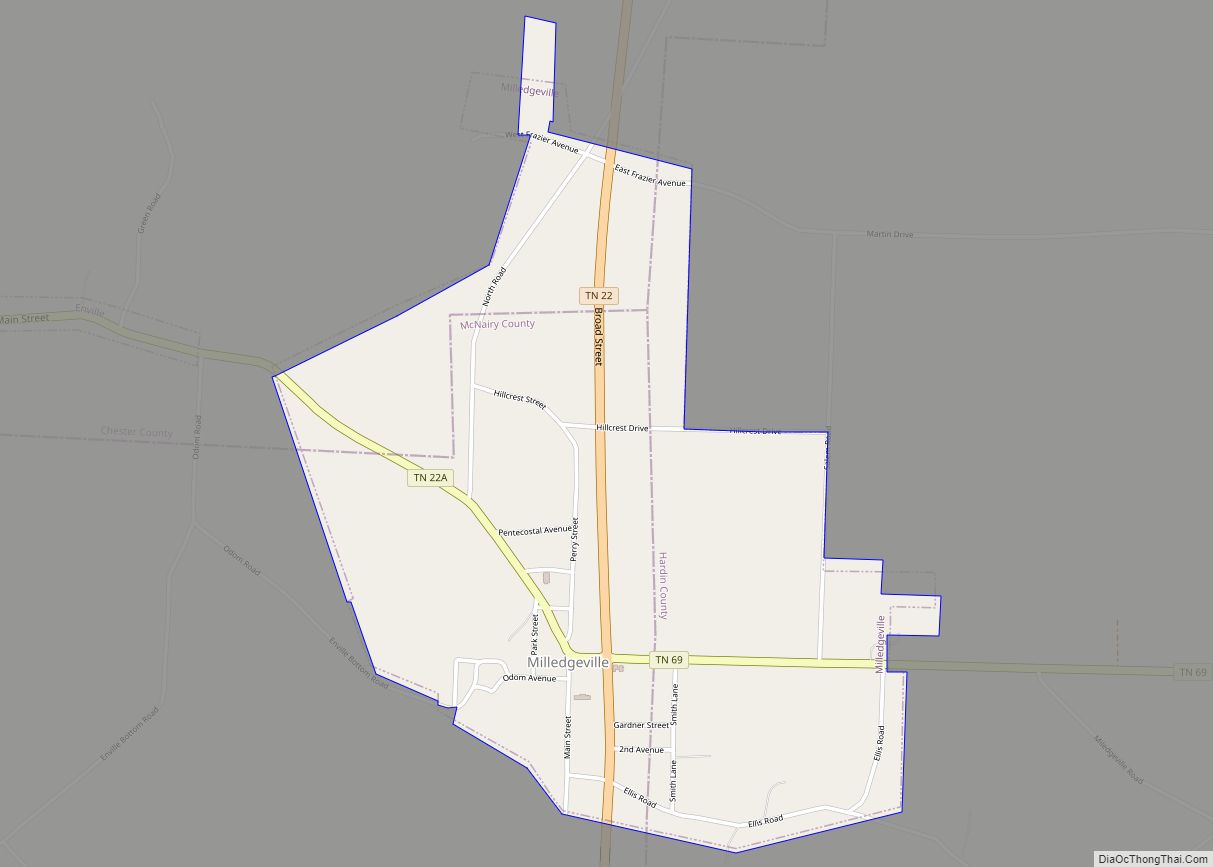
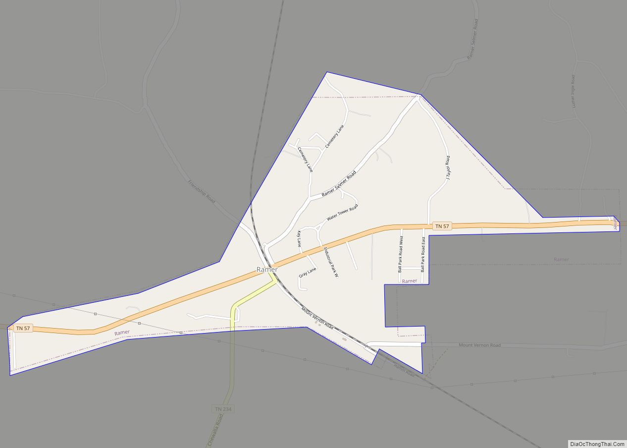
Online Interactive Map
Click on ![]() to view map in "full screen" mode.
to view map in "full screen" mode.
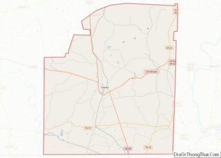
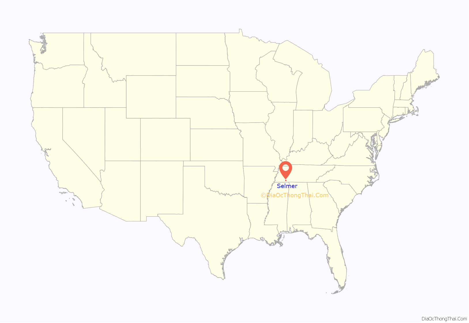
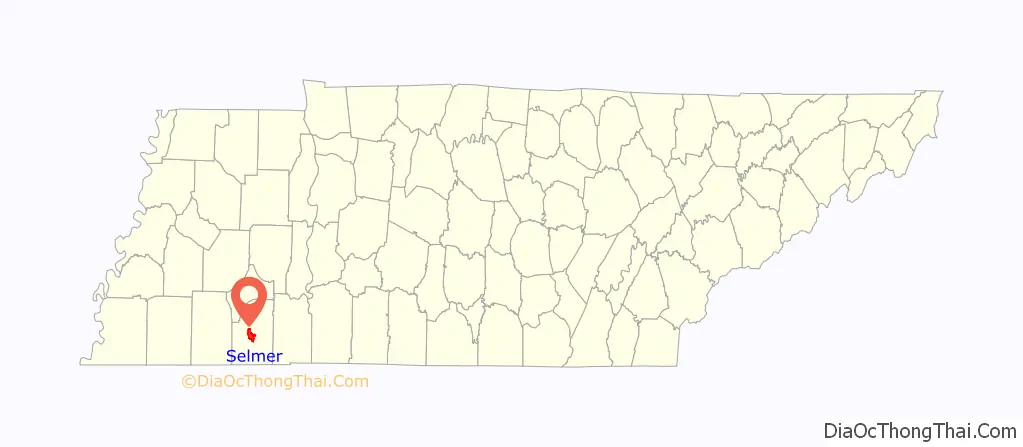
Selmer location map. Where is Selmer town?
History
County seat
In 1890, the county seat of McNairy County was moved from Purdy to Selmer.
Buford Pusser
Sheriff Buford Pusser served as the sheriff of McNairy County from 1964 to 1970, and since Selmer is the county seat, the location of the courthouse and the jail, this was his base of operations. His story has been made famous in the Walking Tall movies starring Joe Don Baker and Bo Svenson. The movies were filmed in nearby Henderson.
Newspaper
The oldest existing business in McNairy County is its newspaper, the Independent Appeal, which was founded in 1902. It is located at 111 N. 2nd St. in Selmer. The fourth largest circulation of a weekly newspaper in the state, with an average weekly circulation of 7,200-7,400 and a readership of more than 17,000.
The McNairy County News began publication in 2009. The MCN is located at 252 Mulberry Avenue in Selmer. The paper has an online presence at mcnairycountynews.com and a Facebook page, as well as a weekly printed publication each Thursday.
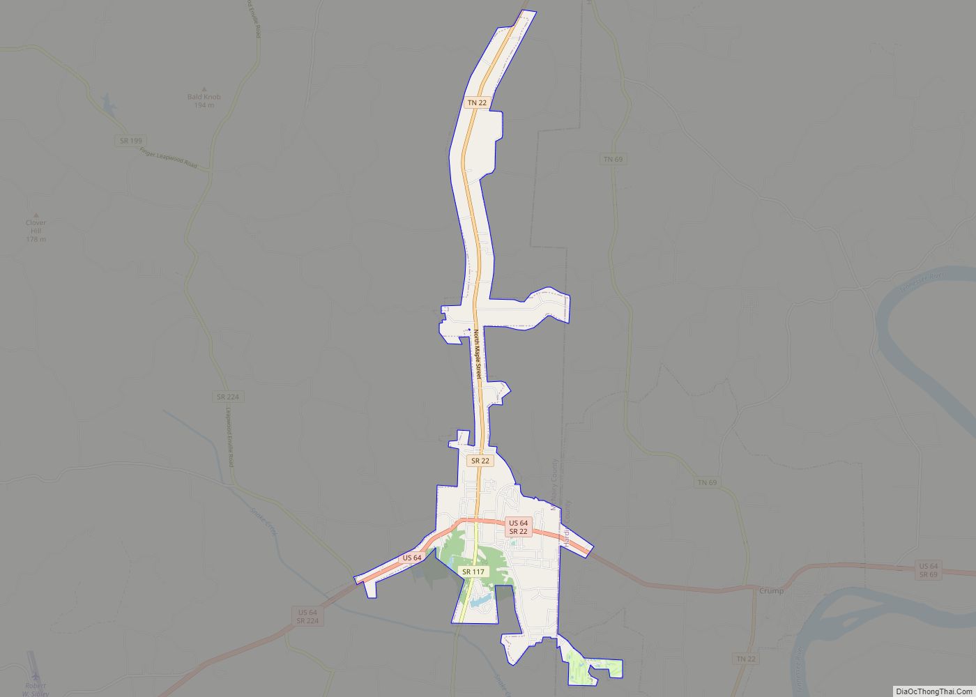
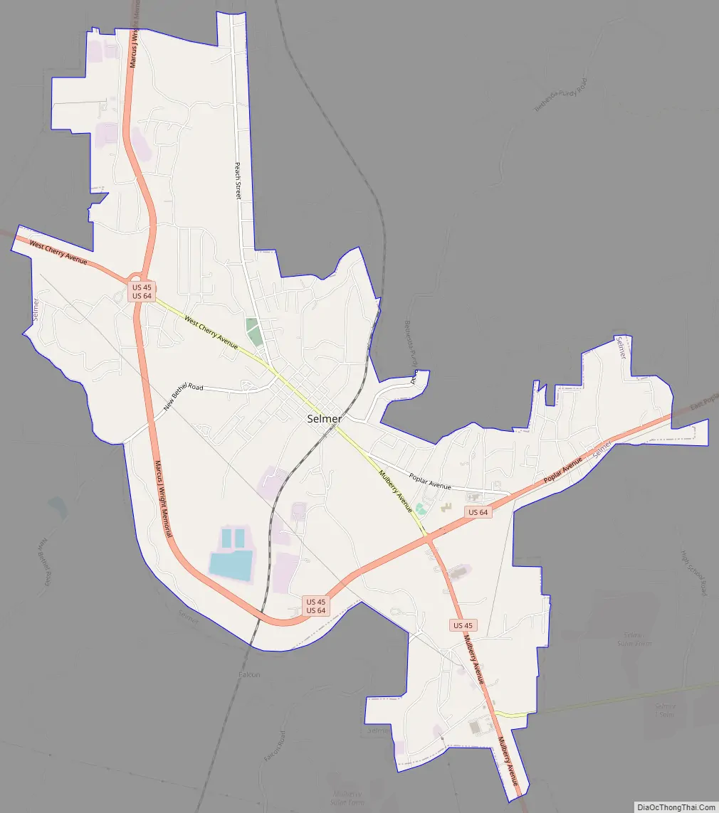
Selmer Road Map
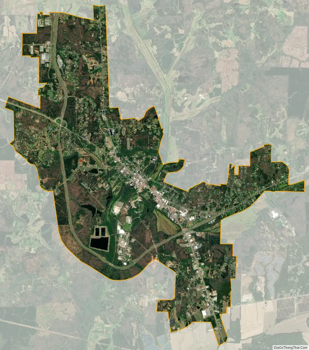
Selmer city Satellite Map
Geography
Selmer is located at 35°10′20″N 88°35′35″W / 35.17222°N 88.59306°W / 35.17222; -88.59306 (35.172333, -88.592964).
According to the United States Census Bureau, the town has a total area of 9.8 square miles (25 km), all land.
Robert Sibley Airport
The Robert Sibley Airport (IATA airport code SZY (ICAO: KSZY)) is located in the area, with no ATC, a 5,002-foot (1,525 m) runway, and at 610 feet (190 m) above sea level. The UN/LOCODE for the town is USSQE. The current manager of Robert Sibley Airport is Chris Tull.
See also
Map of Tennessee State and its subdivision:- Anderson
- Bedford
- Benton
- Bledsoe
- Blount
- Bradley
- Campbell
- Cannon
- Carroll
- Carter
- Cheatham
- Chester
- Claiborne
- Clay
- Cocke
- Coffee
- Crockett
- Cumberland
- Davidson
- Decatur
- DeKalb
- Dickson
- Dyer
- Fayette
- Fentress
- Franklin
- Gibson
- Giles
- Grainger
- Greene
- Grundy
- Hamblen
- Hamilton
- Hancock
- Hardeman
- Hardin
- Hawkins
- Haywood
- Henderson
- Henry
- Hickman
- Houston
- Humphreys
- Jackson
- Jefferson
- Johnson
- Knox
- Lake
- Lauderdale
- Lawrence
- Lewis
- Lincoln
- Loudon
- Macon
- Madison
- Marion
- Marshall
- Maury
- McMinn
- McNairy
- Meigs
- Monroe
- Montgomery
- Moore
- Morgan
- Obion
- Overton
- Perry
- Pickett
- Polk
- Putnam
- Rhea
- Roane
- Robertson
- Rutherford
- Scott
- Sequatchie
- Sevier
- Shelby
- Smith
- Stewart
- Sullivan
- Sumner
- Tipton
- Trousdale
- Unicoi
- Union
- Van Buren
- Warren
- Washington
- Wayne
- Weakley
- White
- Williamson
- Wilson
- Alabama
- Alaska
- Arizona
- Arkansas
- California
- Colorado
- Connecticut
- Delaware
- District of Columbia
- Florida
- Georgia
- Hawaii
- Idaho
- Illinois
- Indiana
- Iowa
- Kansas
- Kentucky
- Louisiana
- Maine
- Maryland
- Massachusetts
- Michigan
- Minnesota
- Mississippi
- Missouri
- Montana
- Nebraska
- Nevada
- New Hampshire
- New Jersey
- New Mexico
- New York
- North Carolina
- North Dakota
- Ohio
- Oklahoma
- Oregon
- Pennsylvania
- Rhode Island
- South Carolina
- South Dakota
- Tennessee
- Texas
- Utah
- Vermont
- Virginia
- Washington
- West Virginia
- Wisconsin
- Wyoming